Elevation of W Setters Rd, Worley, ID, USA
Location: United States > Idaho > Kootenai County > Worley >
Longitude: -117.00870
Latitude: 47.467931
Elevation: 788m / 2585feet
Barometric Pressure: 92KPa
Elevation Map:
Satellite Map:
Related Photos:

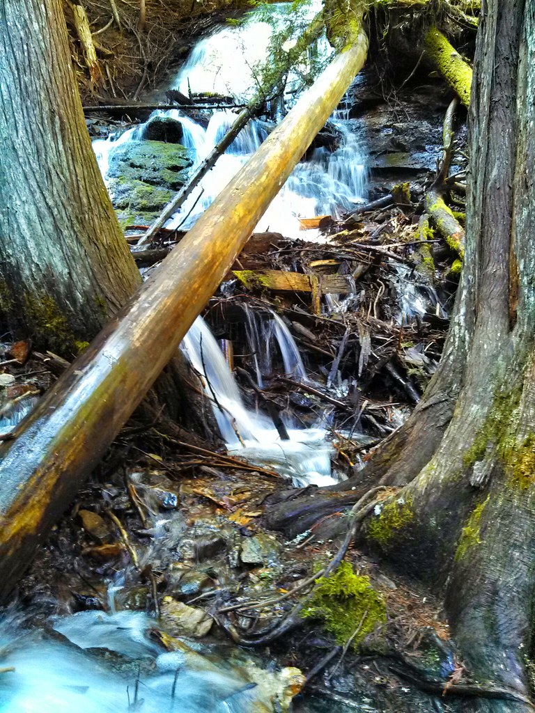
A View from the Liberty Lake Trail, Spokane County, WA
Unexpected Beauty
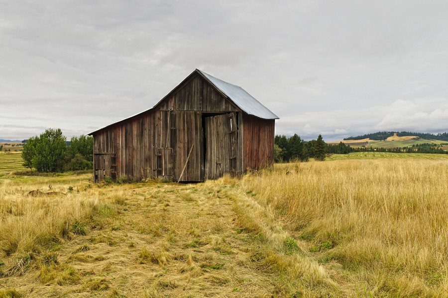
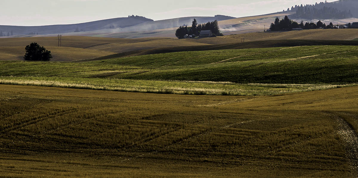
Palouse barn

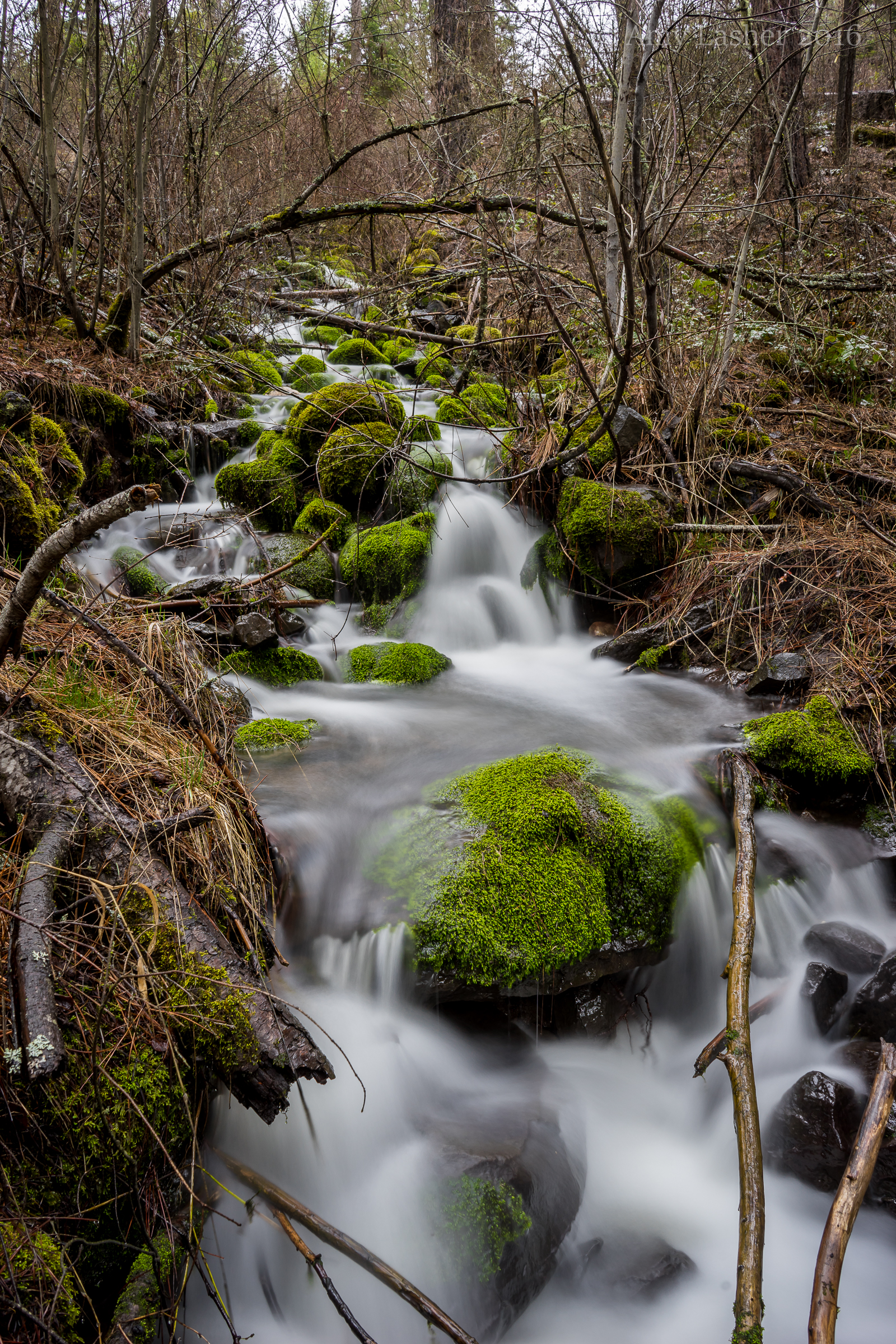
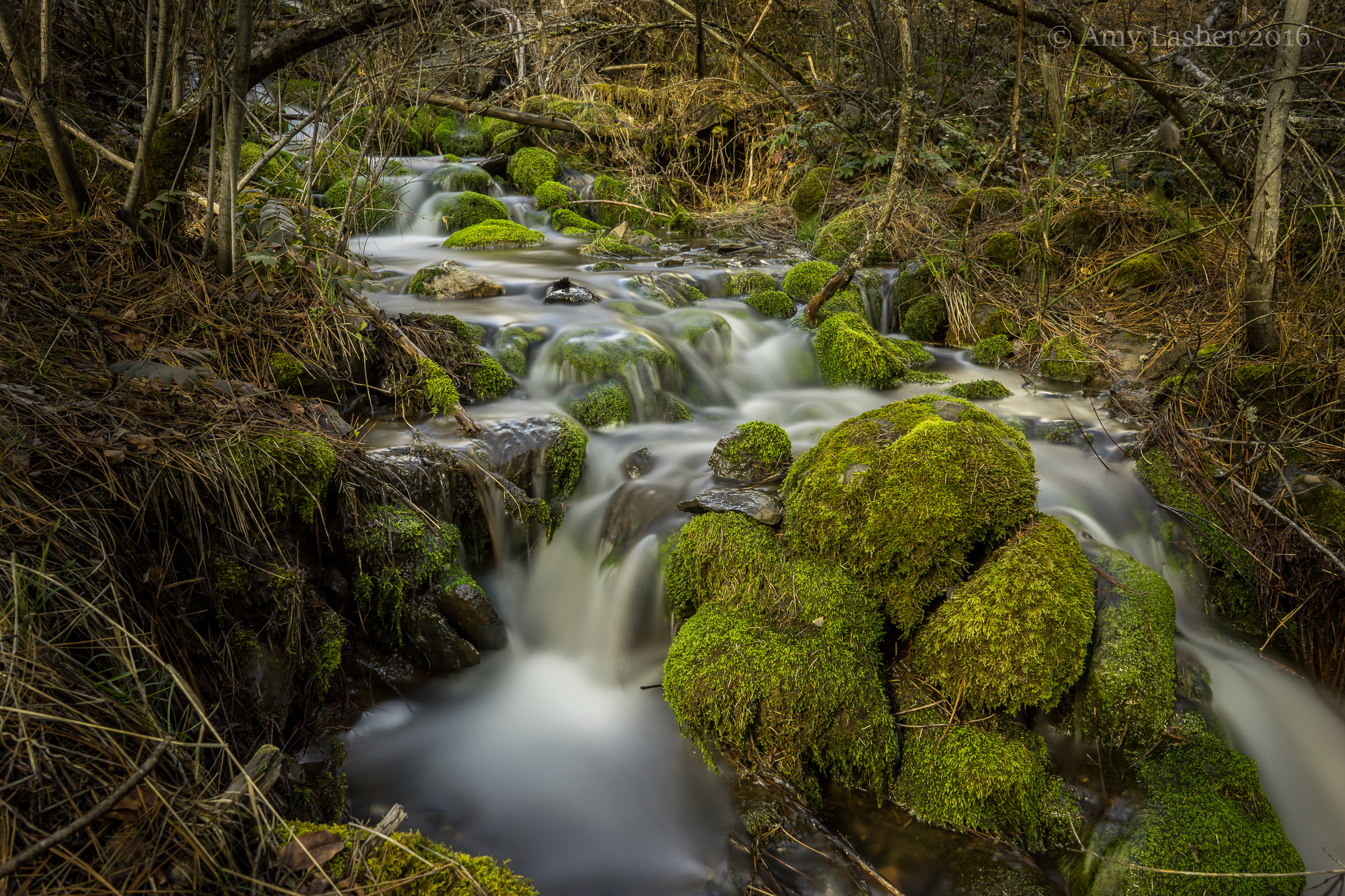
Liberty Lake Trail Water Fall, Liberty Lake, WA
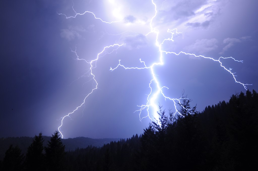
Close lightning
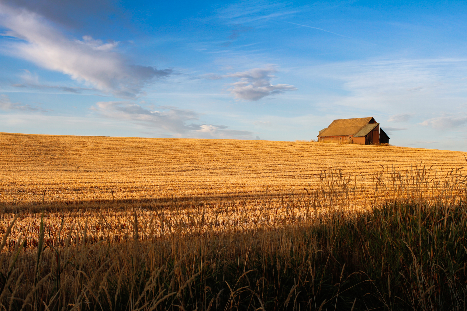
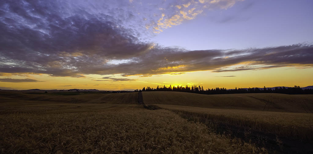
Sunrise after the harvest
My New Happy Place :)
4.13.14 Liberty Lake State Park
DSC02696-Edit

DSC02648-Edit

DSC02657-Edit

DSC02761-Edit

10.6.13 Sunrise. Mowry Park.

sunset over Lake Coeur d'Alene

DSC02793 (1)-Edit

DSC02770-Edit
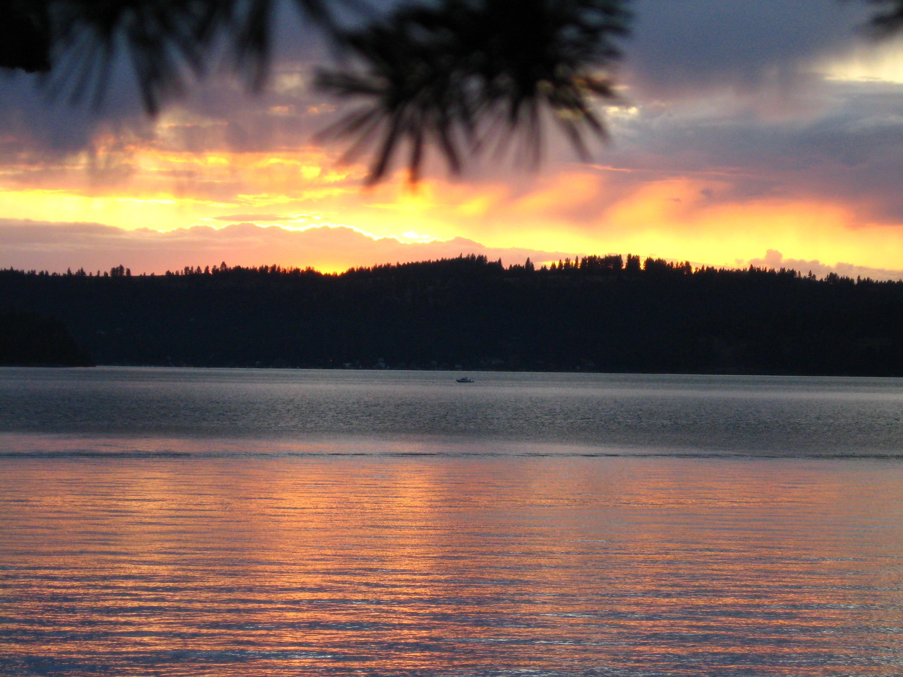
sunset over Lake Coeur d'Alene
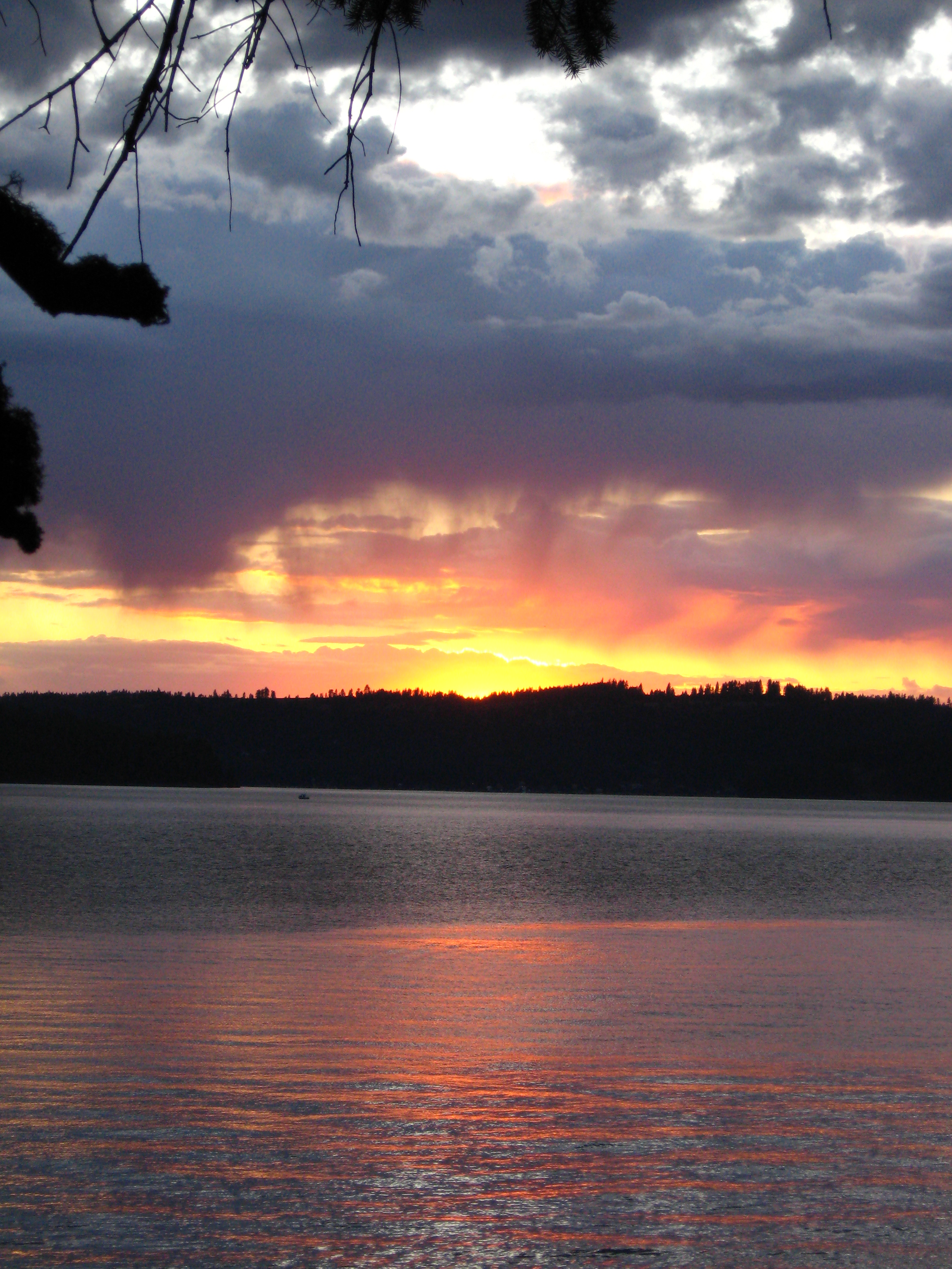
sunset over Lake Coeur d'Alene
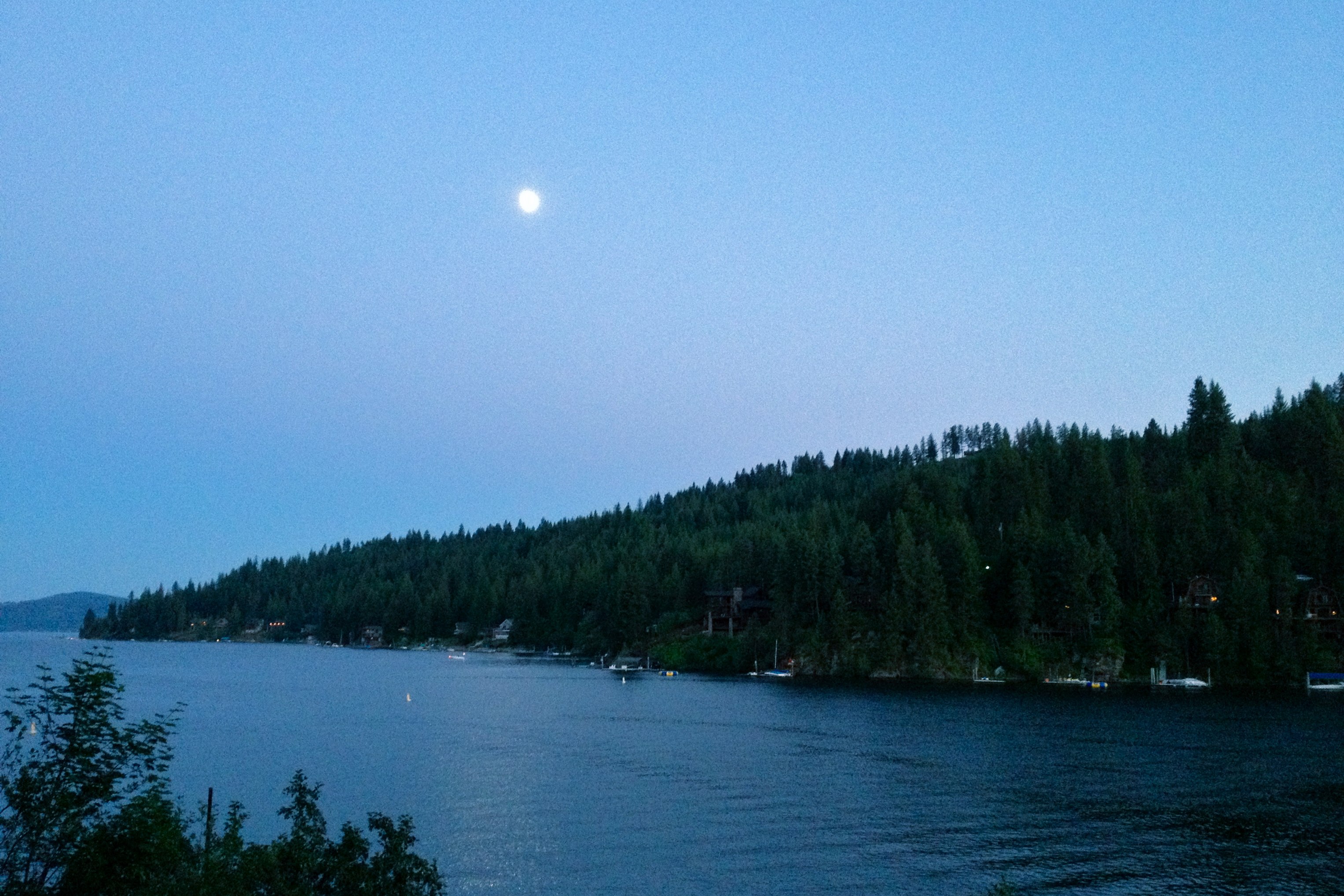
moonrise over Rockford Bay
DSC02795-Edit
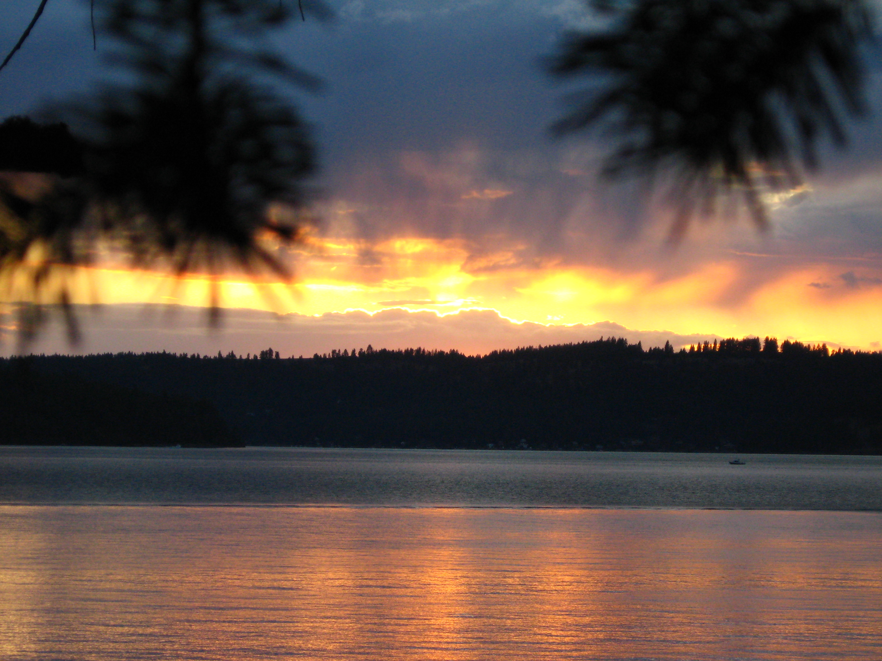
sunset over Lake Coeur d'Alene
Topographic Map of W Setters Rd, Worley, ID, USA
Find elevation by address:

Places near W Setters Rd, Worley, ID, USA:
Vogel Road
Worley
W Tribal Camp Ln, Coeur d'Alene, ID, USA
17313 E Morris Rd
Liberty Lake, WA, USA
Plummer
S Lighthouse Rd, Coeur d'Alene, ID, USA
West Sunny Slopes Road
Fairfield
8355 Old Us Hwy 95
Big Rock Road
41542 Id-97
16785 W Deer Ridge Dr
16787 W Deer Ridge Dr
W Kidd Island Rd, Coeur d'Alene, ID, USA
E Valley Chapel Rd, Fairfield, WA, USA
615 N Garry Dr
1207 N Stevenson Rd
4865 S Greensferry Rd
16248 W Summerfield Rd
Recent Searches:
- Elevation of Crystal Cir, Birmingham, AL, USA
- Elevation of N Railroad Ave, West Palm Beach, FL, USA
- Elevation of 55 Cassick Valley Rd, Wellfleet, MA, USA
- Elevation of Ironwood Dr, Minden, NV, USA
- Elevation of 高尾山口駅, Takaomachi, Hachioji, Tokyo -, Japan
- Elevation of 15 Victory Ave, Greenville, SC, USA
- Elevation of Kota Ternate Utara, Ternate City, North Maluku, Indonesia
- Elevation of Allon St, Oceanside, NY, USA
- Elevation of Carroll Creek Rd, Custer, SD, USA
- Elevation of Lust Road, Lust Rd, Florida, USA