Elevation of W Tribal Camp Ln, Coeur d'Alene, ID, USA
Location: United States > Idaho > Kootenai County > Coeur D'alene >
Longitude: -116.87874
Latitude: 47.505701
Elevation: 673m / 2208feet
Barometric Pressure: 93KPa
Elevation Map:
Satellite Map:
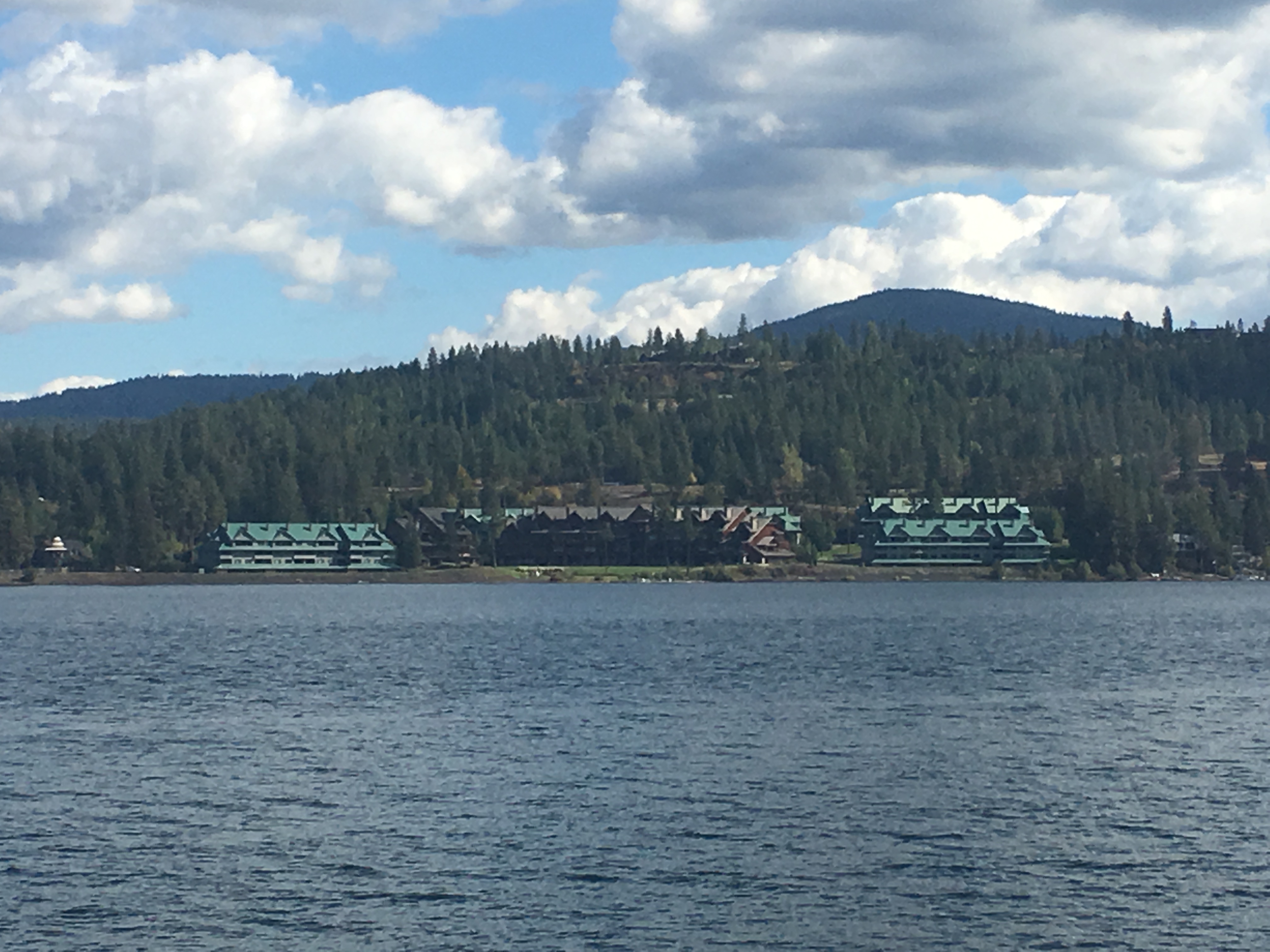
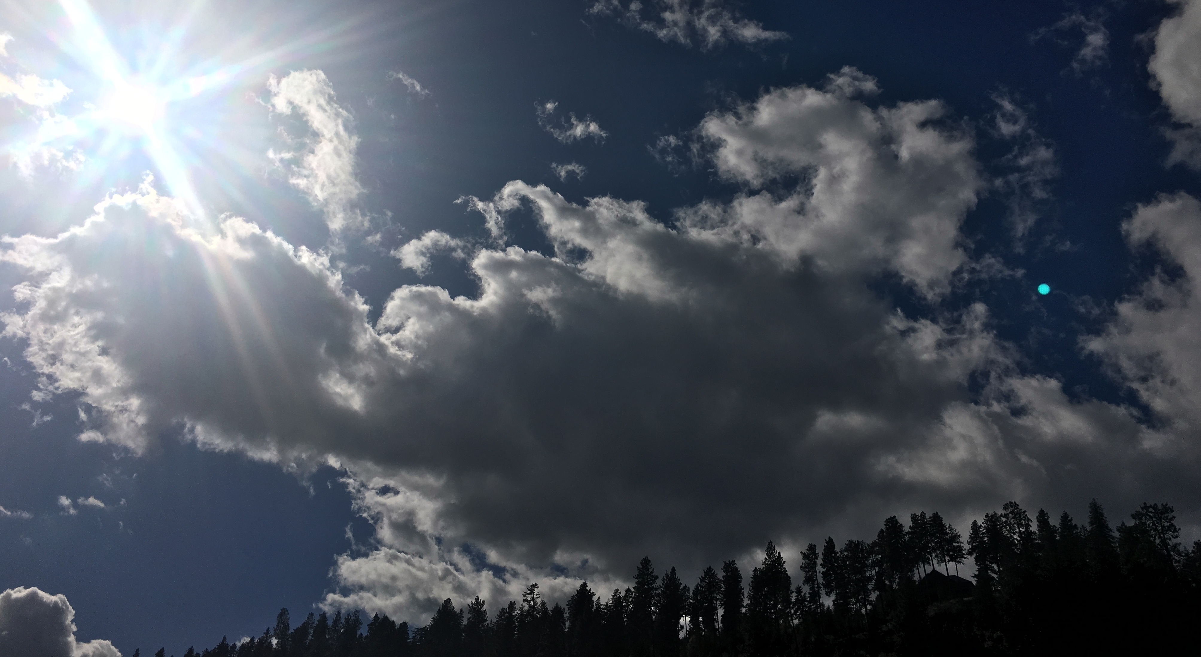
Related Photos:

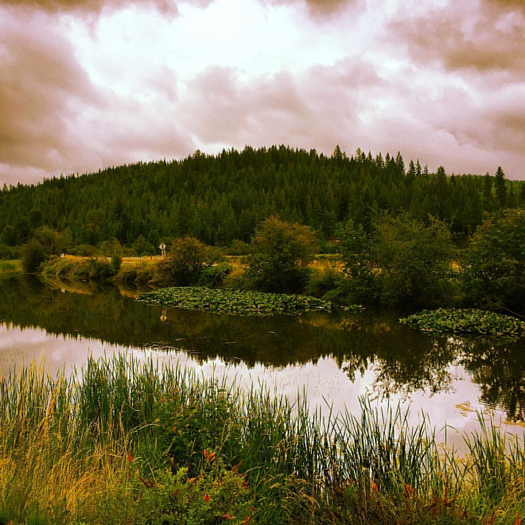
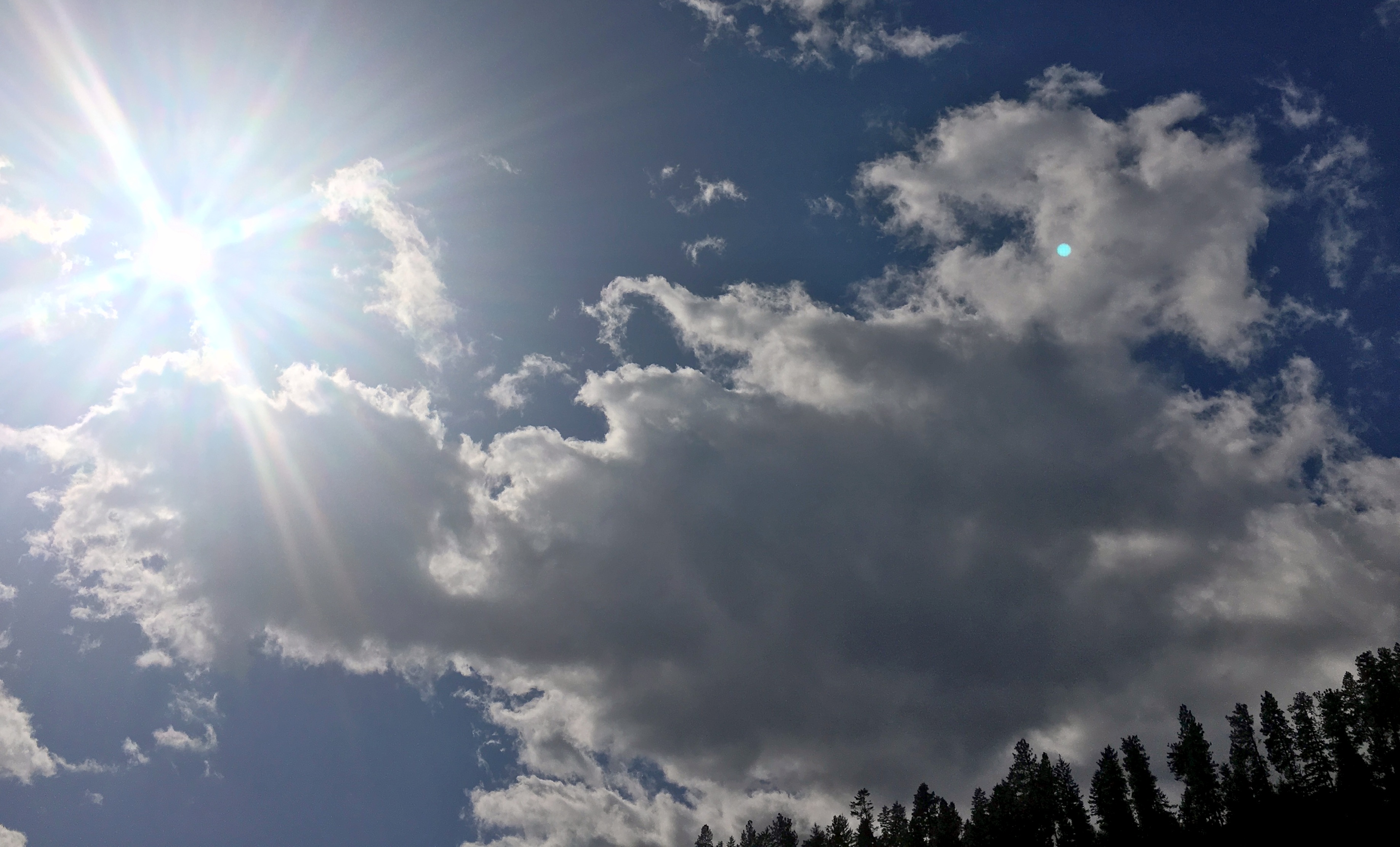
Coeur d'Alene bike trail views

Great bike ride to Harrison ID via Trail of the Coeur D'Alene..amazing views ..

If you do this......
????????
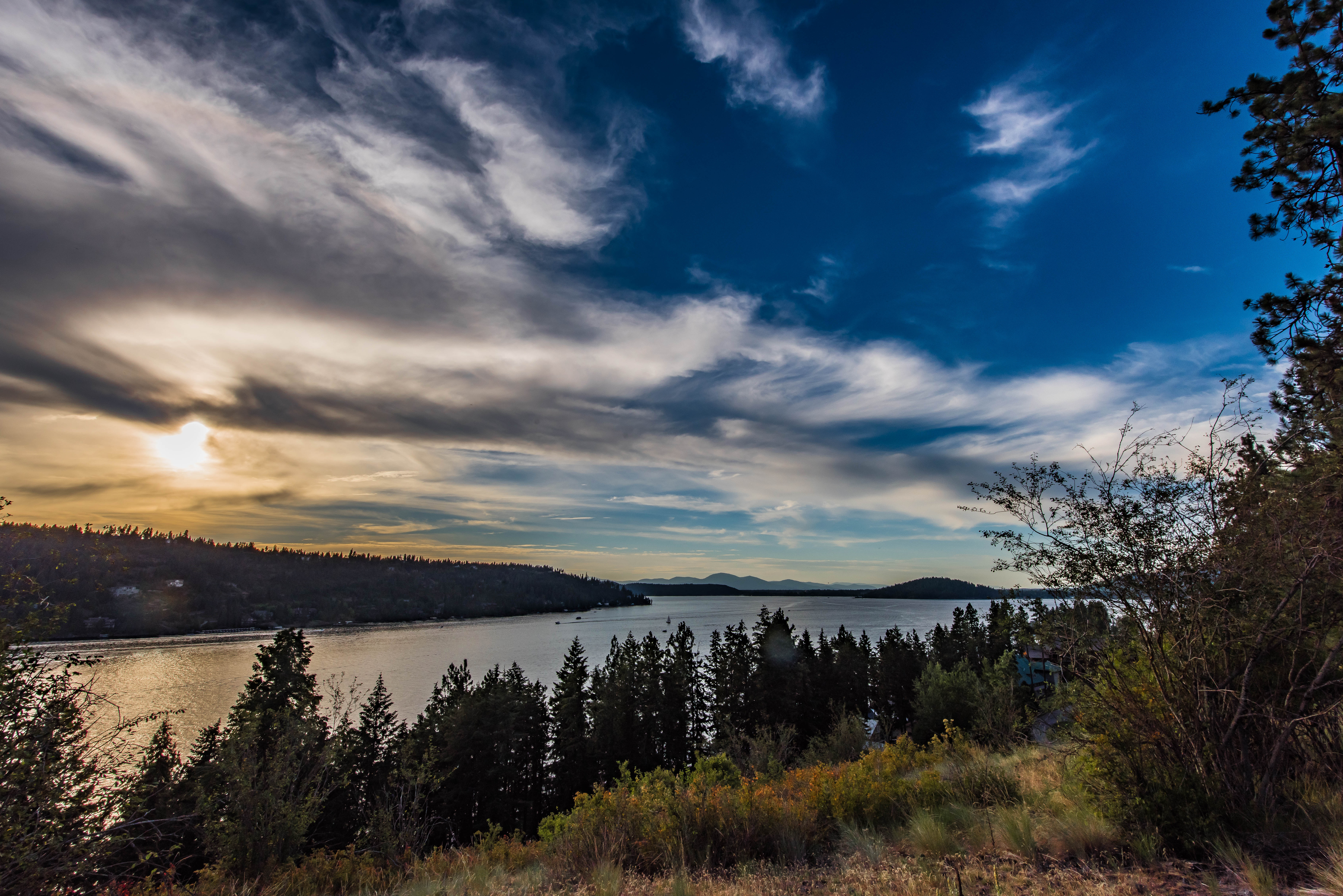
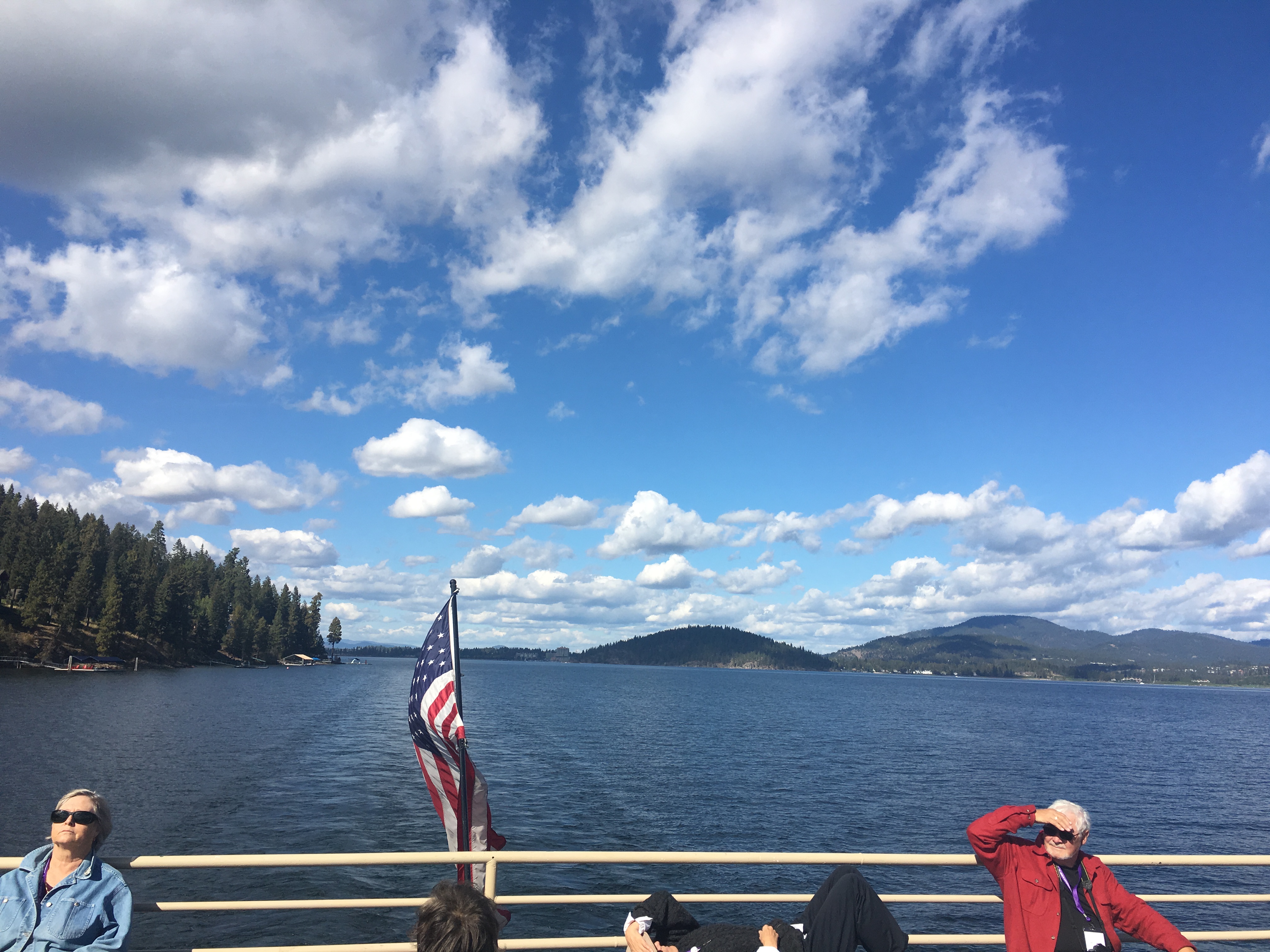
Lake Coeur d'Alene Sunset
2016-09-24 14.09.25
2016-09-24 14.10.36 HDR

2016-09-24 14.10.36-1

2016-09-24 14.10.46 HDR
2016-09-24 14.10.46-1

2016-09-24 14.11.22

2016-09-24 14.12.18

2016-09-24 14.14.29
2016-09-24 14.16.36

2016-09-24 14.17.56

2016-09-24 14.17.13
2016-09-24 14.18.25

2016-09-24 14.09.25

2016-09-24 14.10.36 HDR
2016-09-24 14.10.36-1
2016-09-24 14.10.46 HDR
2016-09-24 14.11.22

2016-09-24 14.12.18

2016-09-24 14.14.29
Topographic Map of W Tribal Camp Ln, Coeur d'Alene, ID, USA
Find elevation by address:

Places near W Tribal Camp Ln, Coeur d'Alene, ID, USA:
S Lighthouse Rd, Coeur d'Alene, ID, USA
Vogel Road
41542 Id-97
8355 Old Us Hwy 95
1477 E Thimbleberry Ln
Harrison
Garfield Ave, Harrison, ID, USA
Carlin Bay Resort
Worley
6275 S Fox Haven Rd
W Kidd Island Rd, Coeur d'Alene, ID, USA
601 Woodlawn Dr
West Sunny Slopes Road
W Setters Rd, Worley, ID, USA
4547 W Presley Rd
S 13 Hundred Rd, Coeur d'Alene, ID, USA
ID-97, St Maries, ID, USA
5776 S Elk Rd
286 W Florida Cir
41 W Conkling Park Dr, Worley, ID, USA
Recent Searches:
- Elevation of Corso Fratelli Cairoli, 35, Macerata MC, Italy
- Elevation of Tallevast Rd, Sarasota, FL, USA
- Elevation of 4th St E, Sonoma, CA, USA
- Elevation of Black Hollow Rd, Pennsdale, PA, USA
- Elevation of Oakland Ave, Williamsport, PA, USA
- Elevation of Pedrógão Grande, Portugal
- Elevation of Klee Dr, Martinsburg, WV, USA
- Elevation of Via Roma, Pieranica CR, Italy
- Elevation of Tavkvetili Mountain, Georgia
- Elevation of Hartfords Bluff Cir, Mt Pleasant, SC, USA