Elevation of N Stevenson Rd, Liberty Lake, WA, USA
Location: United States > Washington > Spokane County > Liberty Lake >
Longitude: -117.08528
Latitude: 47.6678997
Elevation: 655m / 2149feet
Barometric Pressure: 94KPa
Elevation Map:
Satellite Map:
Related Photos:

Nuther Dramatic Sunrise

Post Fall, Idaho (Explored)
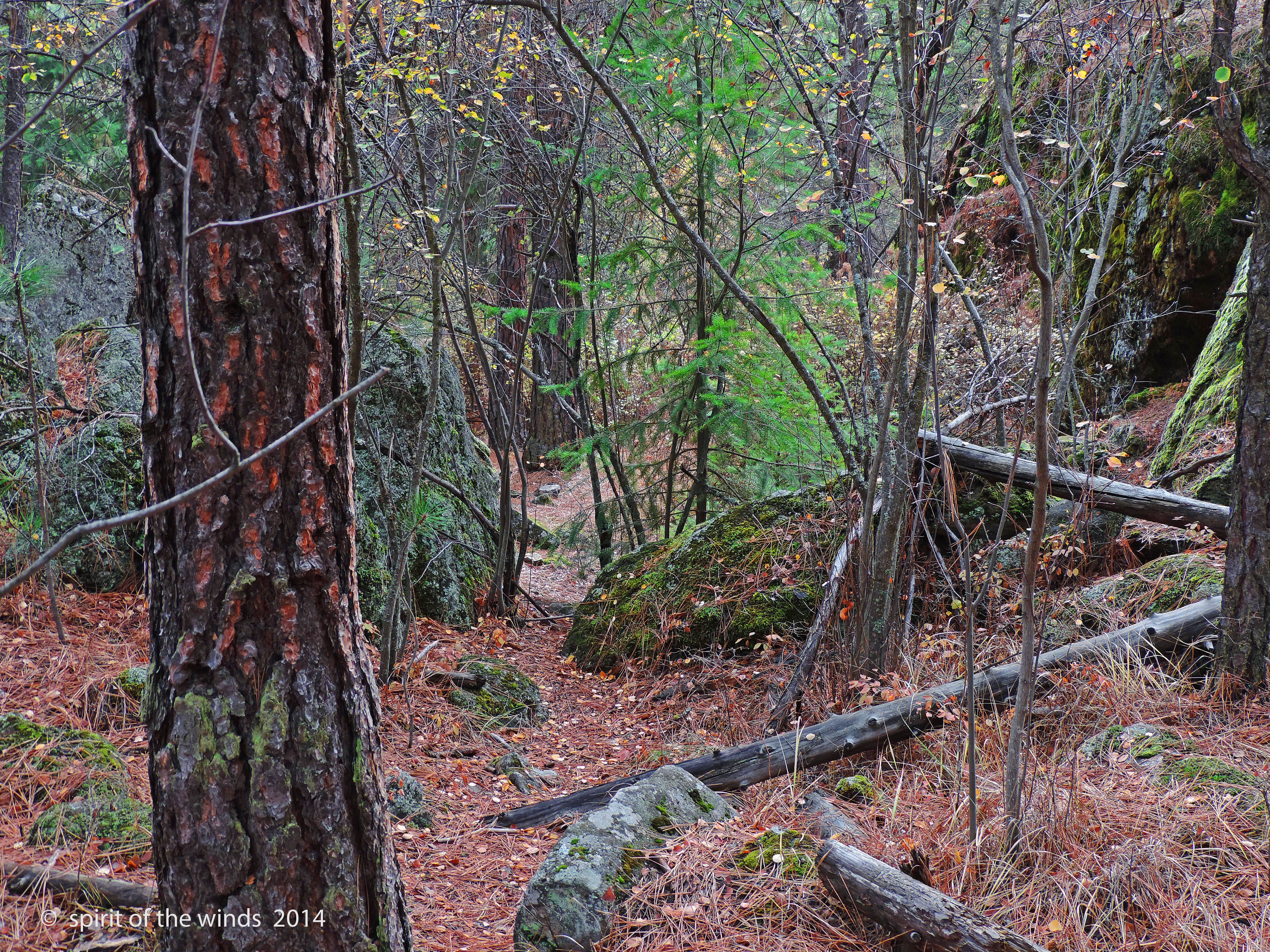
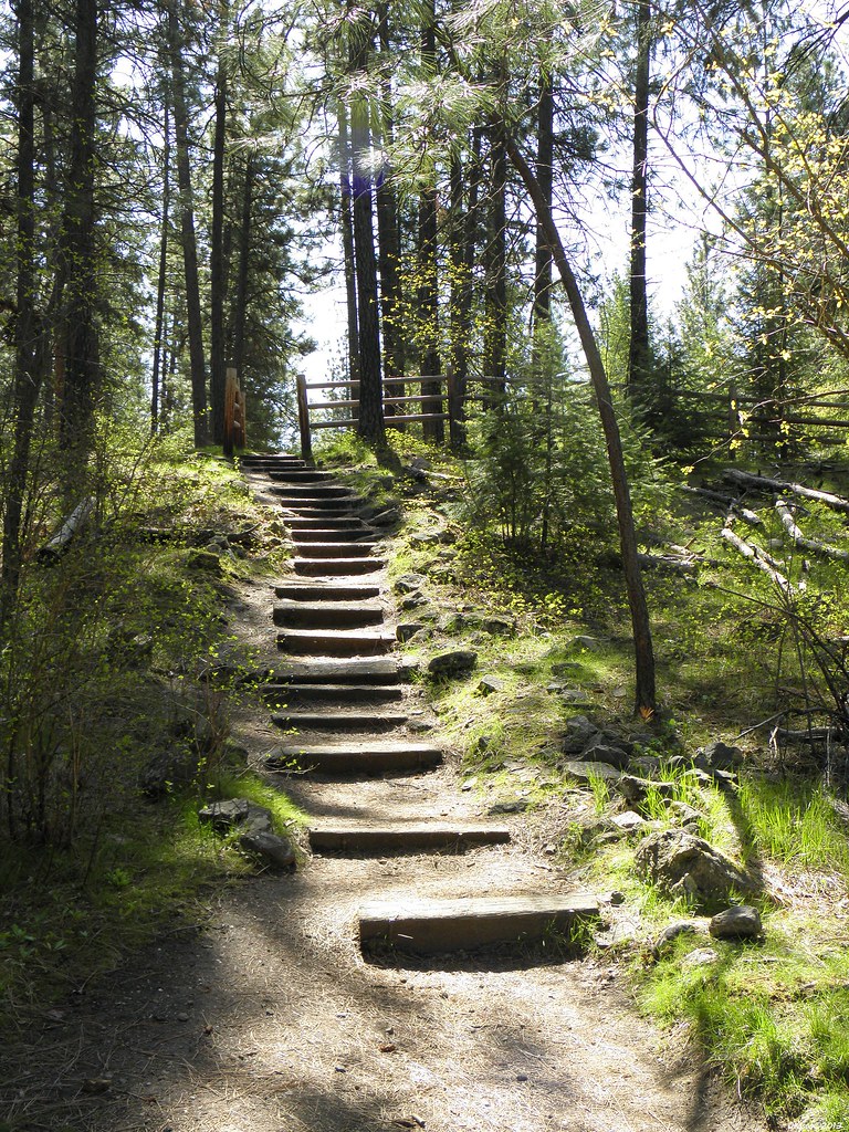
A Mountain Trail
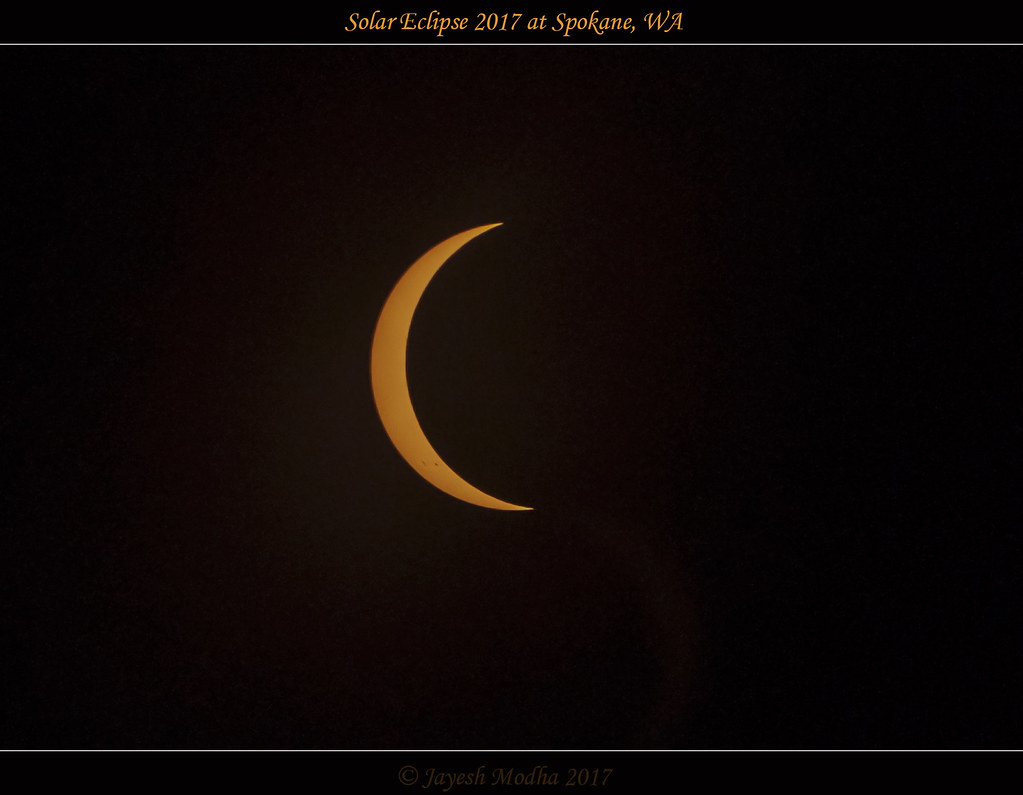
Banana Sun 2017

1968 Dodge Charger R/T - B.F. Goodrich Charger

View Of The Spokane River From The Red Lion In Post Falls, Idaho
And This Is Where That
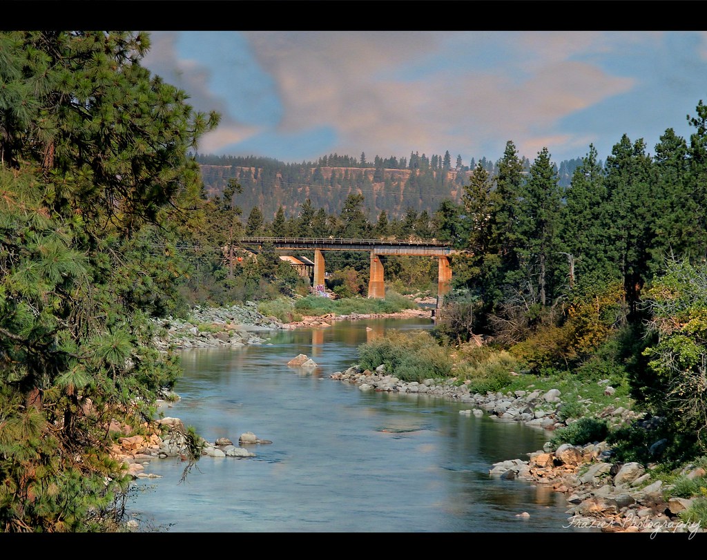
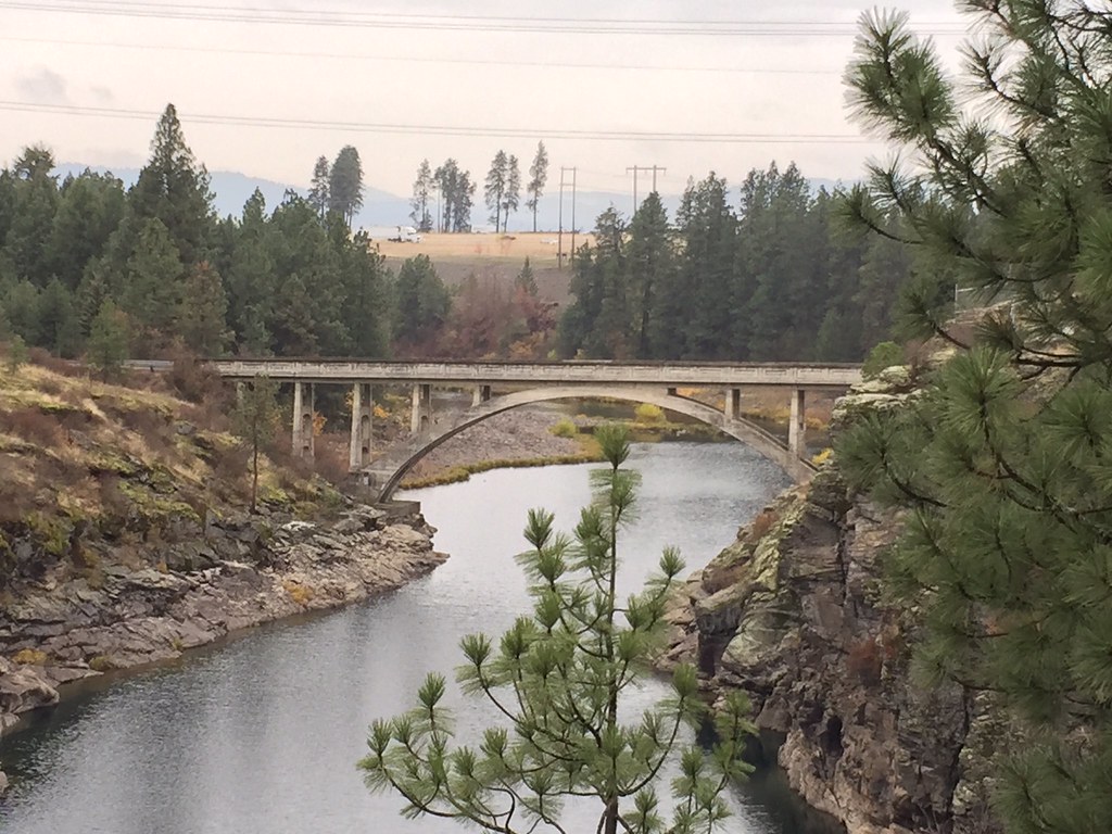
Spokane River

Just A Limb
Duck Under

Comfort Inn & Suites - [Explored - Apr 7 2012]
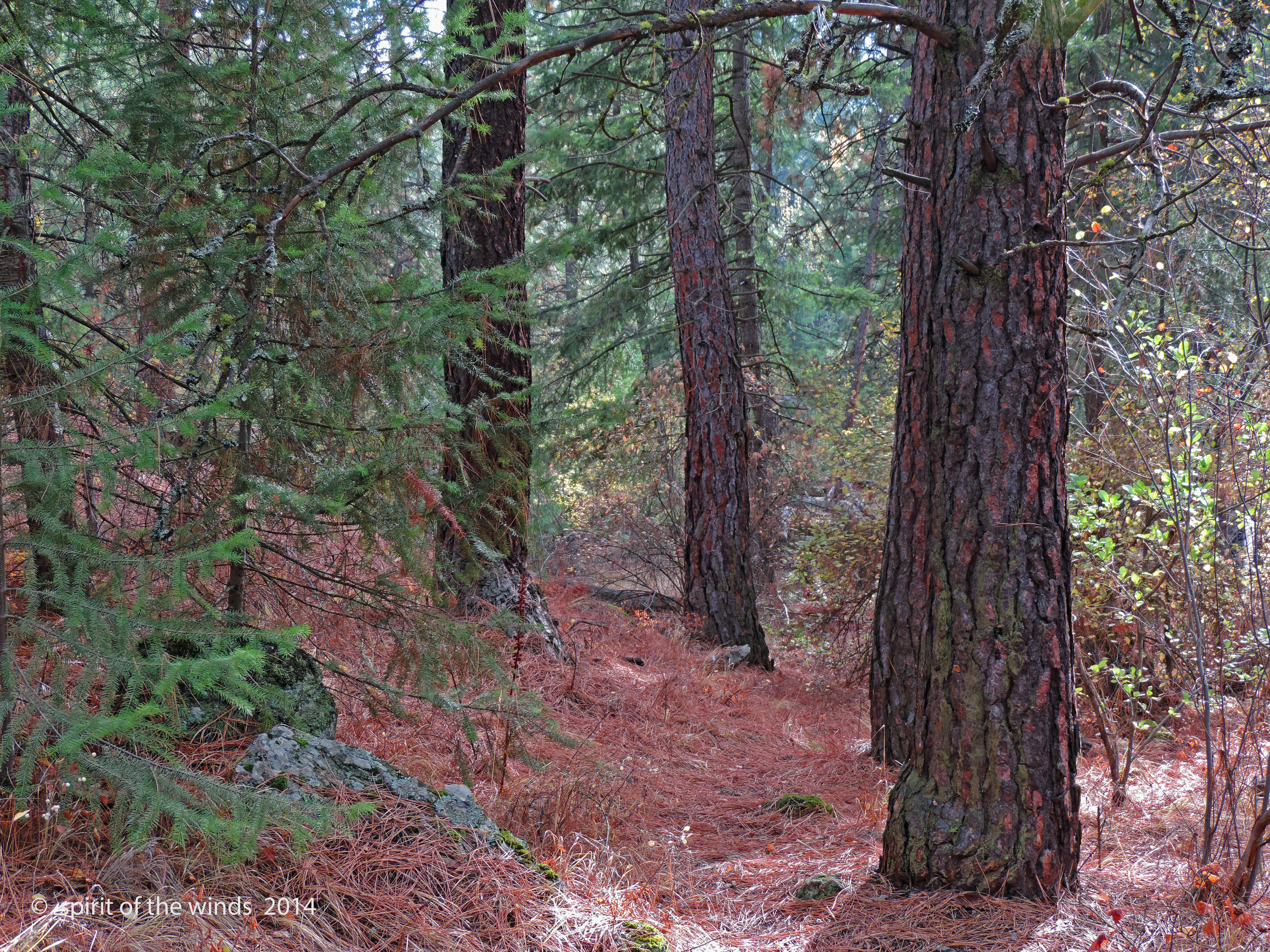
Mountain Trail II

I-90, The Freeway (Tokina 11-16mm)
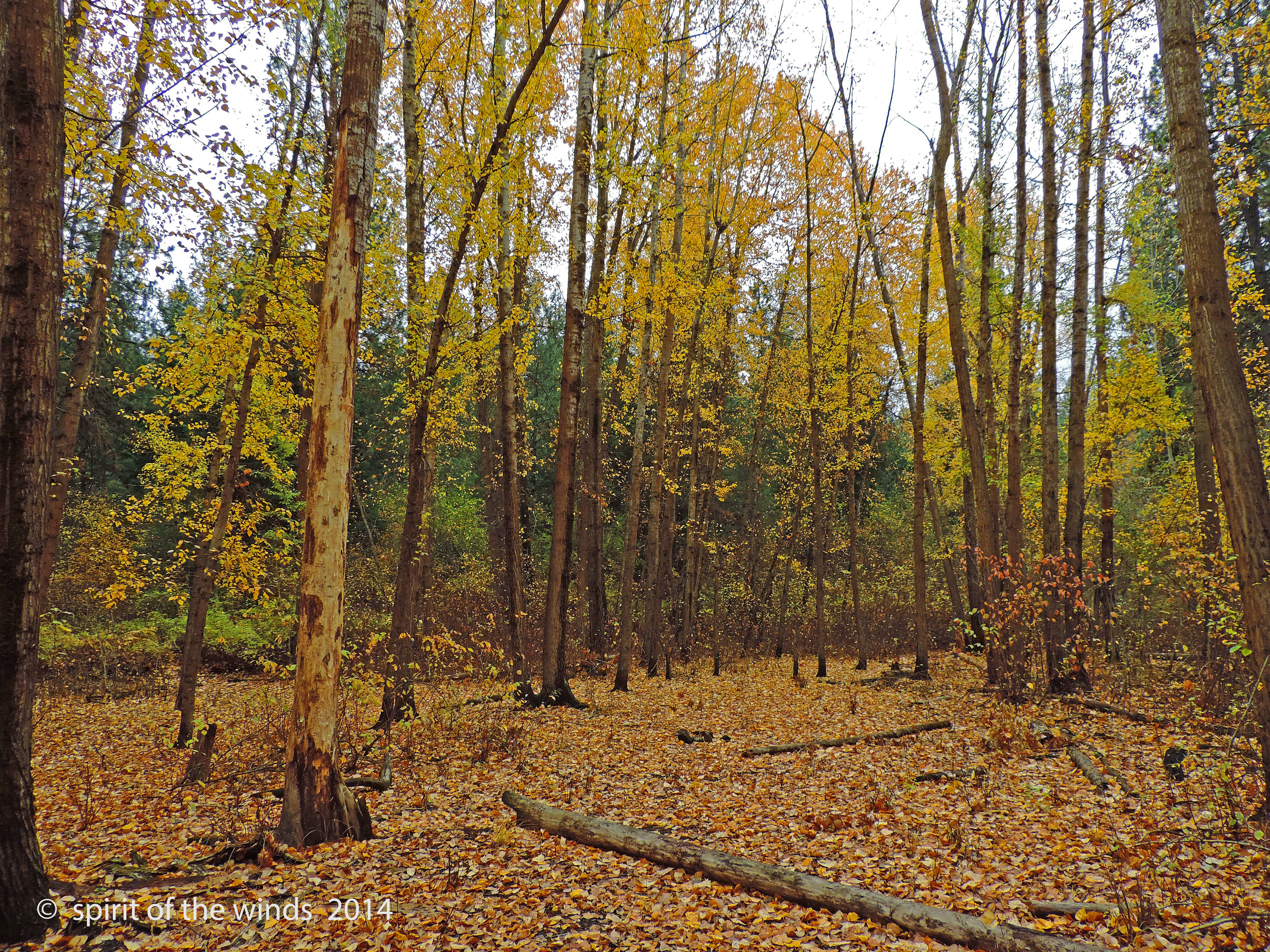
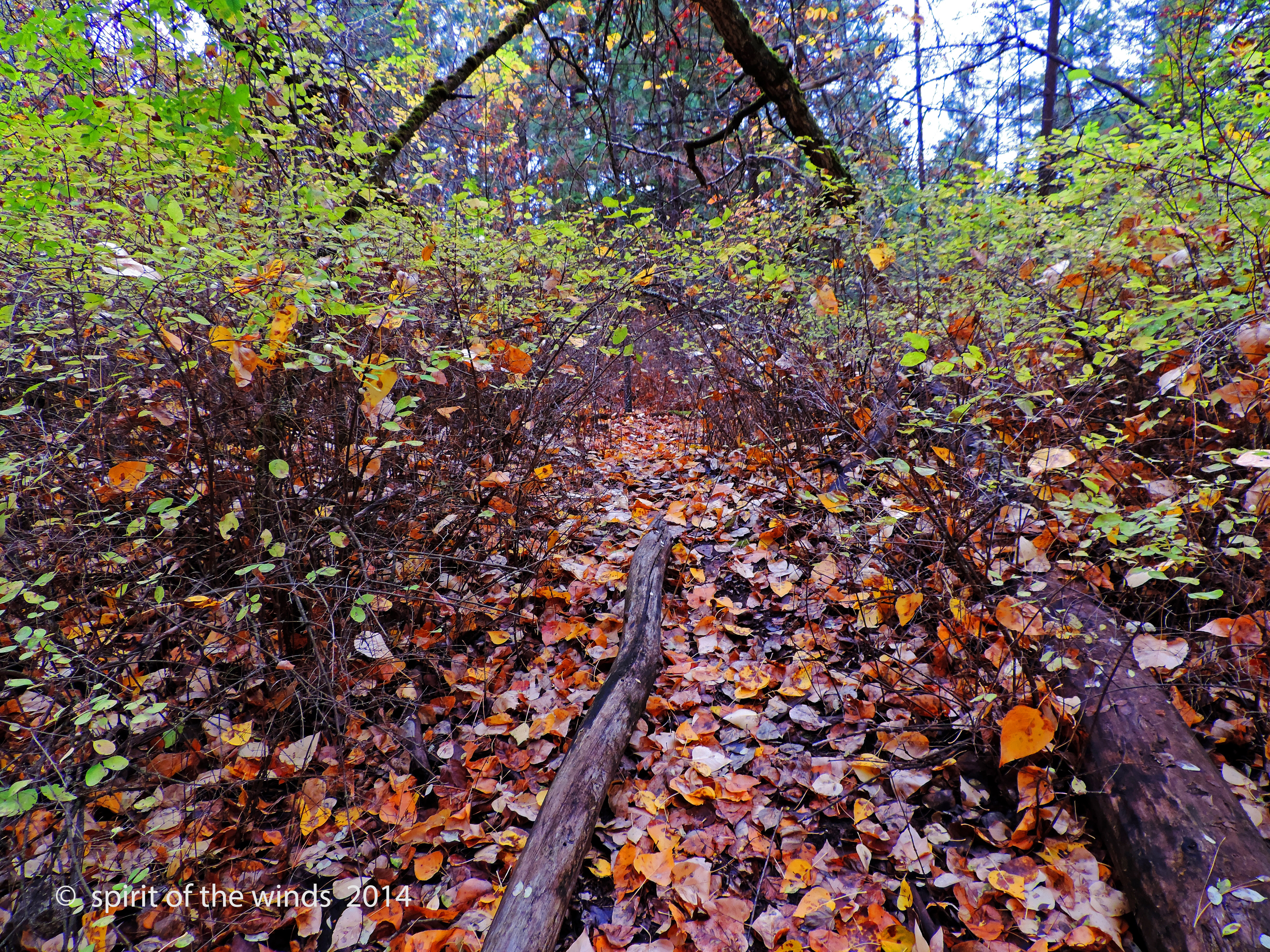
The Place Of Many Leaves

Dishman Hills
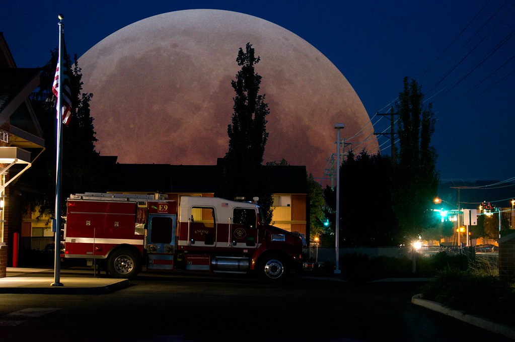
1968 Dodge Charger R/T - Supermoon Eclipse over Station 9

Happy Birthday To Me
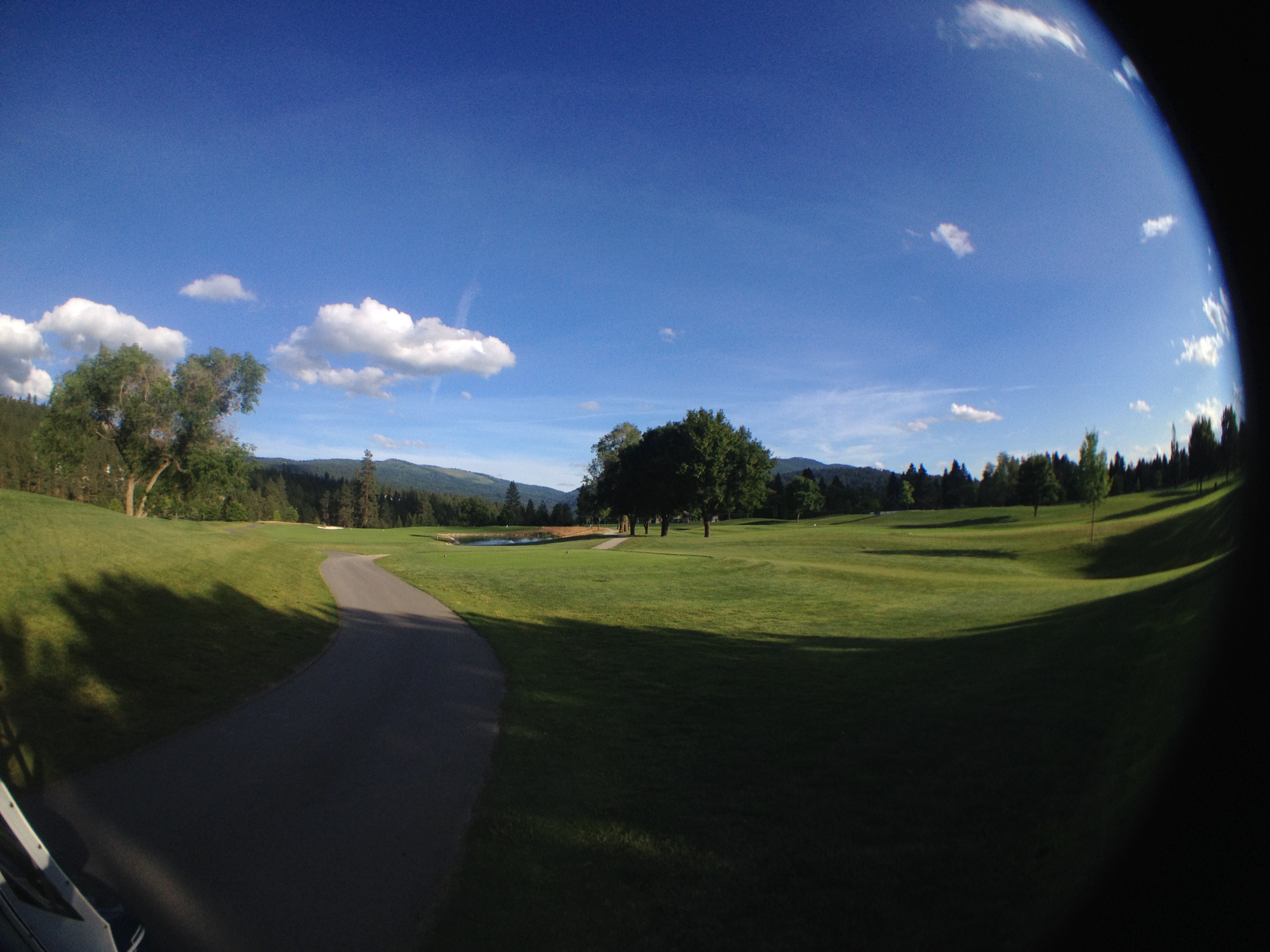
Fisheye view
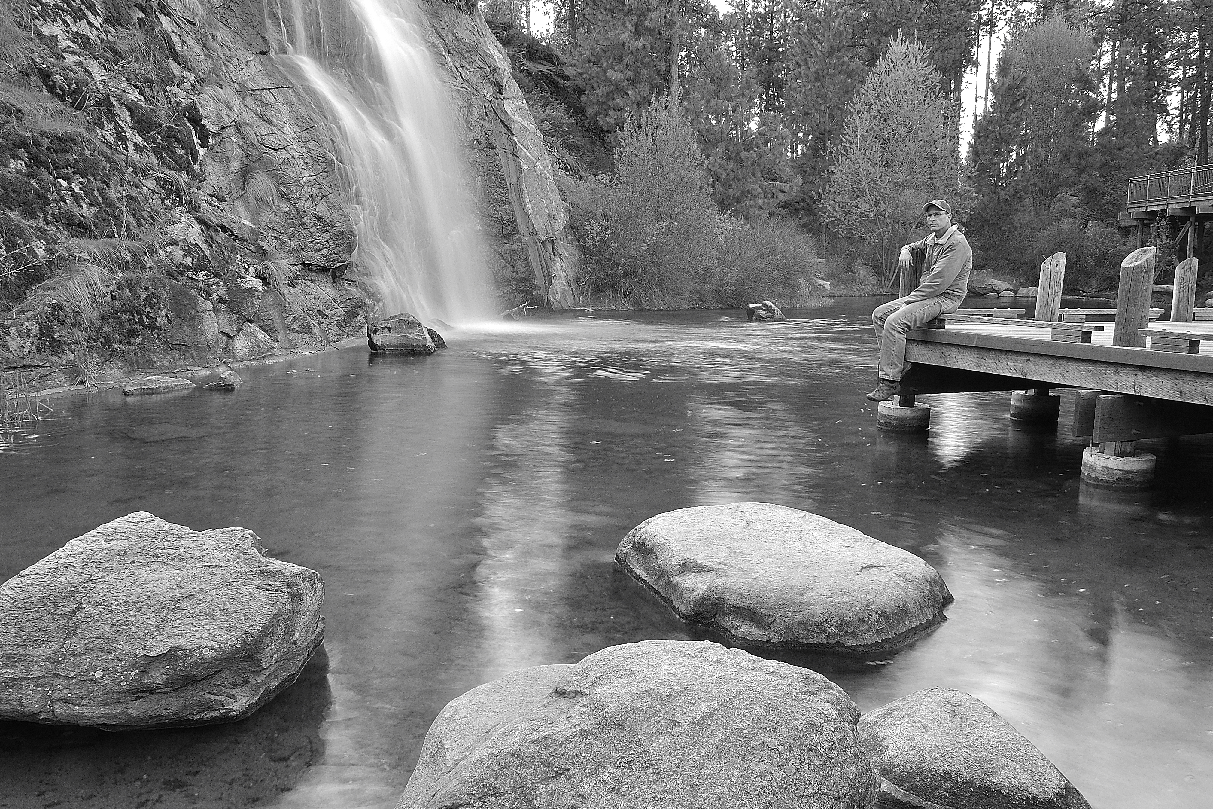
View from Eagle Peak
room with a view

Merlin-State Line, ID-3-2-2013
He shall be like a tree Planted by the rivers of water, That brings forth its fruit in its season, Whose leaf also shall not wither; And whatever he does shall prosper. The ungodly are not so, But are like the chaff which the wind drives away. * * Psalms

Arbor Crest Wine Cellars: Sunset
The Start.
Mirabeau Selfie
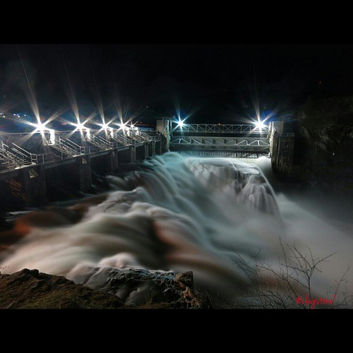
I took this photo last night at the Post Falls Dam! This photo has no editing at all. The colors are from the lighting around the dam and can be seen due to the long exposure. This photo was taken at f8 with a 15 second exposure at ISO 80 with my little C
Liberty lake

Close to sunset looking south

Faint Circumhorizon Arc

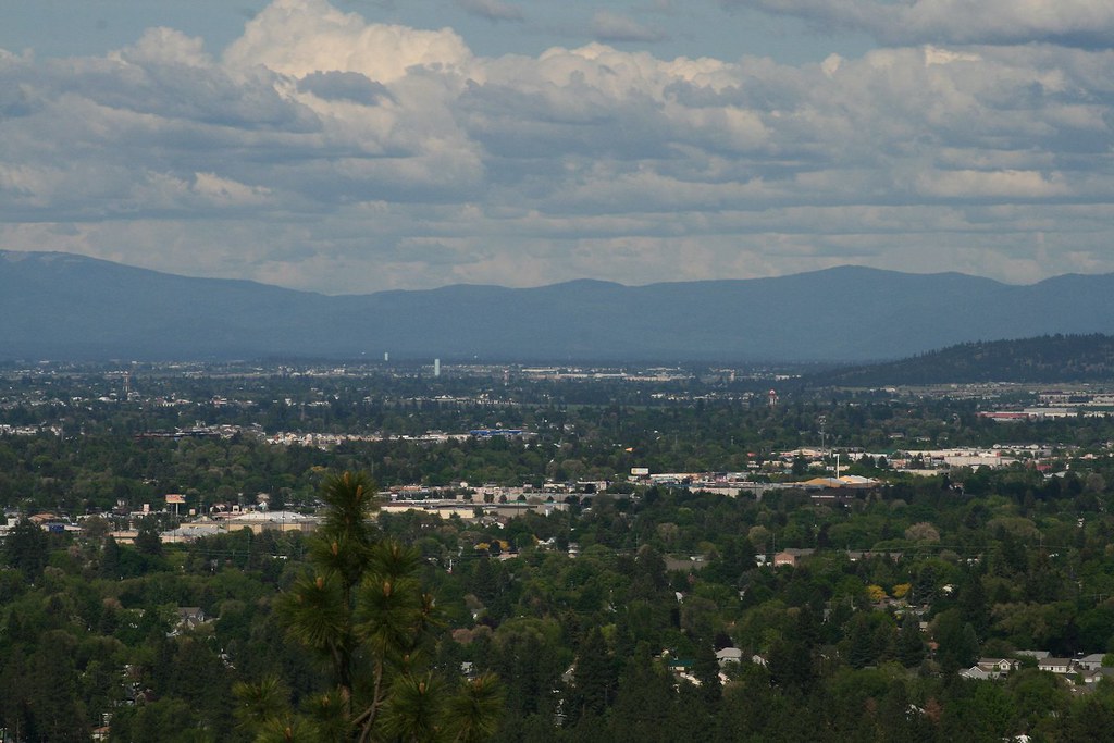
Spokane Valley afternoon
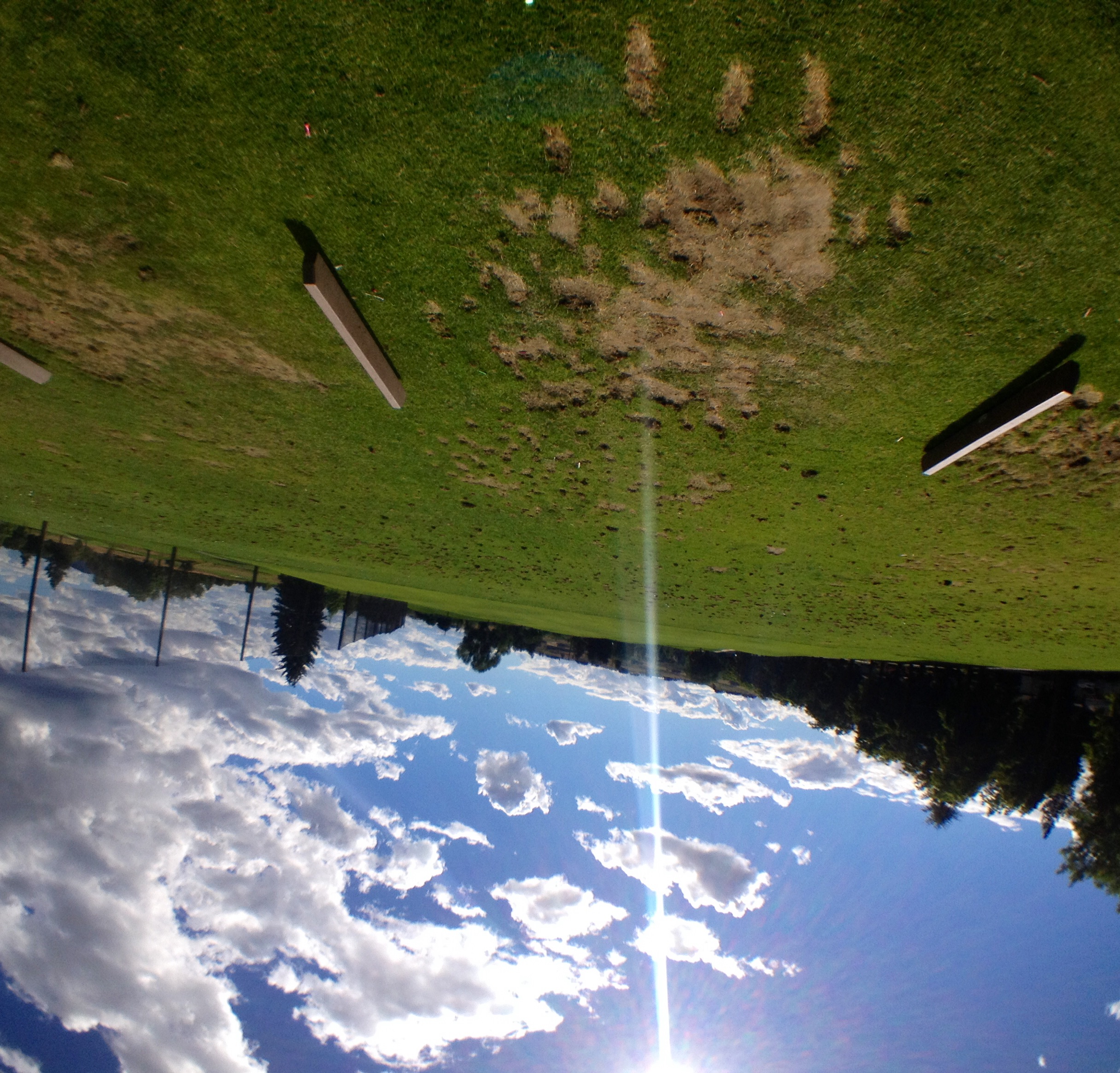
Golf driving range

Mile 17. Reward for 15 headwinds- plagued @CharityMiles for @michaeljfoxorg . Time to turn around.
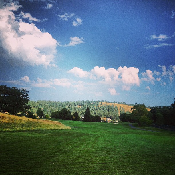
The fairway. Beautiful!
Taken at falls park in Post Falls Idaho on the backside of the Post Falls dam

Spokane River Sunset
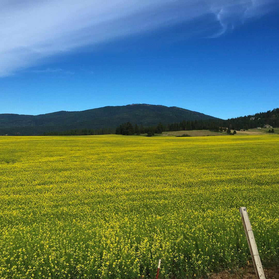
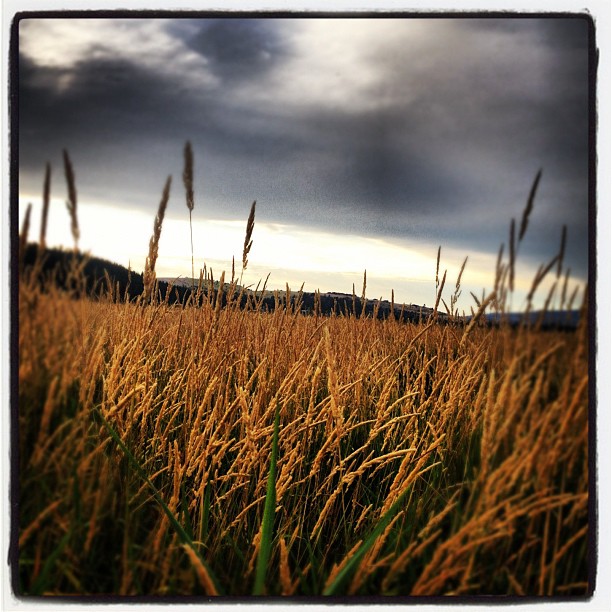
Canola field seen along my short afternoon motorcycle ride

The Spokane River
20140814 S120 Idaho 4
Topographic Map of N Stevenson Rd, Liberty Lake, WA, USA
Find elevation by address:

Places near N Stevenson Rd, Liberty Lake, WA, USA:
615 N Garry Dr
1102 N Liberty Lake Rd
Greenstone
1816 N Pepper Ln
Liberty Lake
3811 N Lynden Rd
Otis Orchards-east Farms
23920 E Wellesley Ave
Otis Orchards
5006 N Corrigan Rd
2373 N Holl Blvd
19001 E River Walk Ln
1411 S Clara Rd
5518 N Vista Grande Dr
Greenacres
Spokane Valley, WA, USA
5507 N Del Rey Dr
17807 Apollo Rd
1211 N Arc St
South Flora Road
Recent Searches:
- Elevation of 6 Rue Jules Ferry, Beausoleil, France
- Elevation of Sattva Horizon, 4JC6+G9P, Vinayak Nagar, Kattigenahalli, Bengaluru, Karnataka, India
- Elevation of Great Brook Sports, Gold Star Hwy, Groton, CT, USA
- Elevation of 10 Mountain Laurels Dr, Nashua, NH, USA
- Elevation of 16 Gilboa Ln, Nashua, NH, USA
- Elevation of Laurel Rd, Townsend, TN, USA
- Elevation of 3 Nestling Wood Dr, Long Valley, NJ, USA
- Elevation of Ilungu, Tanzania
- Elevation of Yellow Springs Road, Yellow Springs Rd, Chester Springs, PA, USA
- Elevation of Rēzekne Municipality, Latvia