Elevation of E Valley Chapel Rd, Fairfield, WA, USA
Location: United States > Washington > Spokane County > Fairfield >
Longitude: -117.21613
Latitude: 47.449502
Elevation: 750m / 2461feet
Barometric Pressure: 93KPa
Elevation Map:
Satellite Map:
Related Photos:

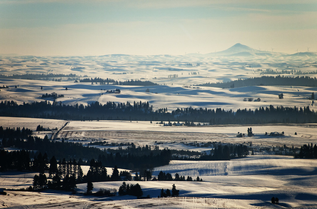
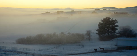
The view this morning. #nofilter
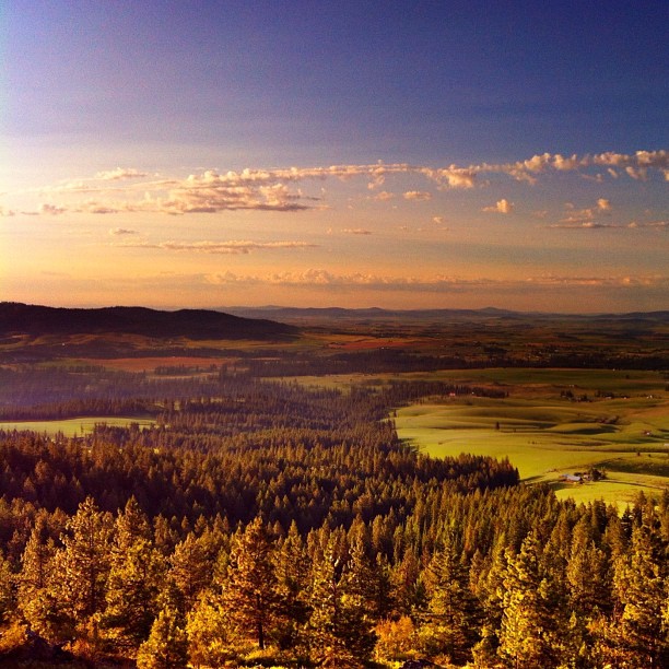
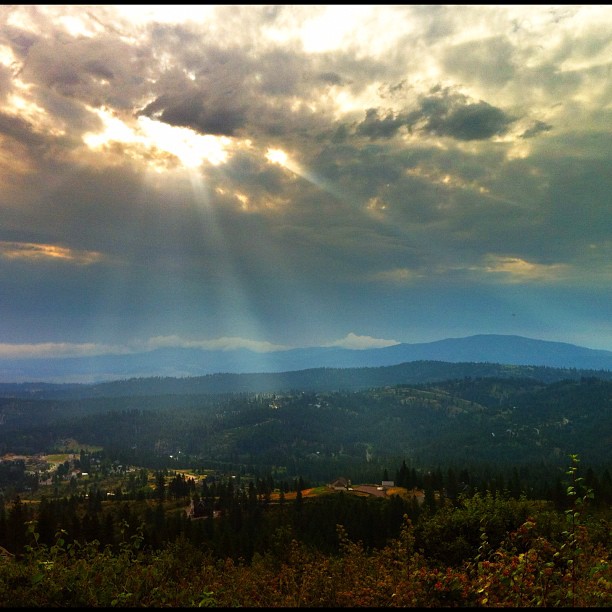
A View from the Big Rock, Spokane, WA
Good Morning Palouse! I love these views.
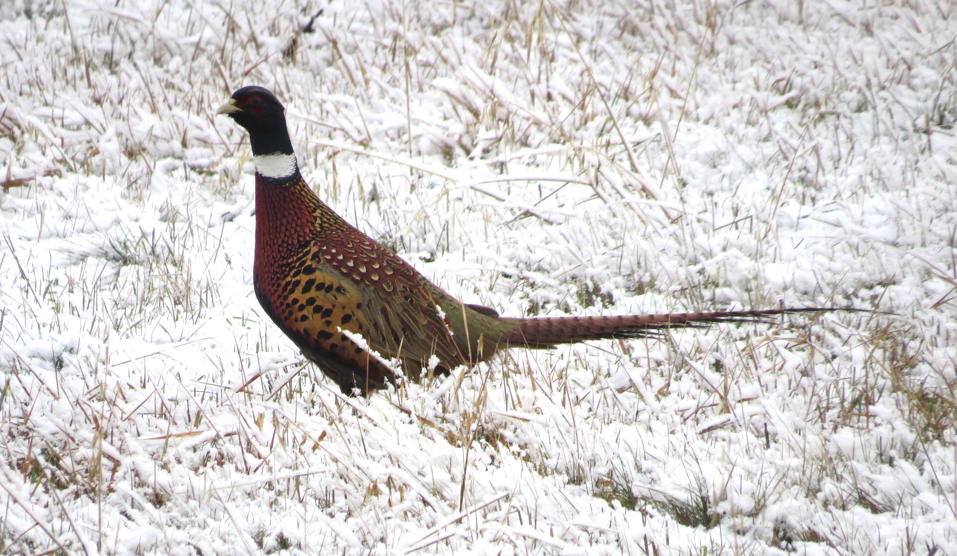
Pheasant-Spokane, WA-12-13-12
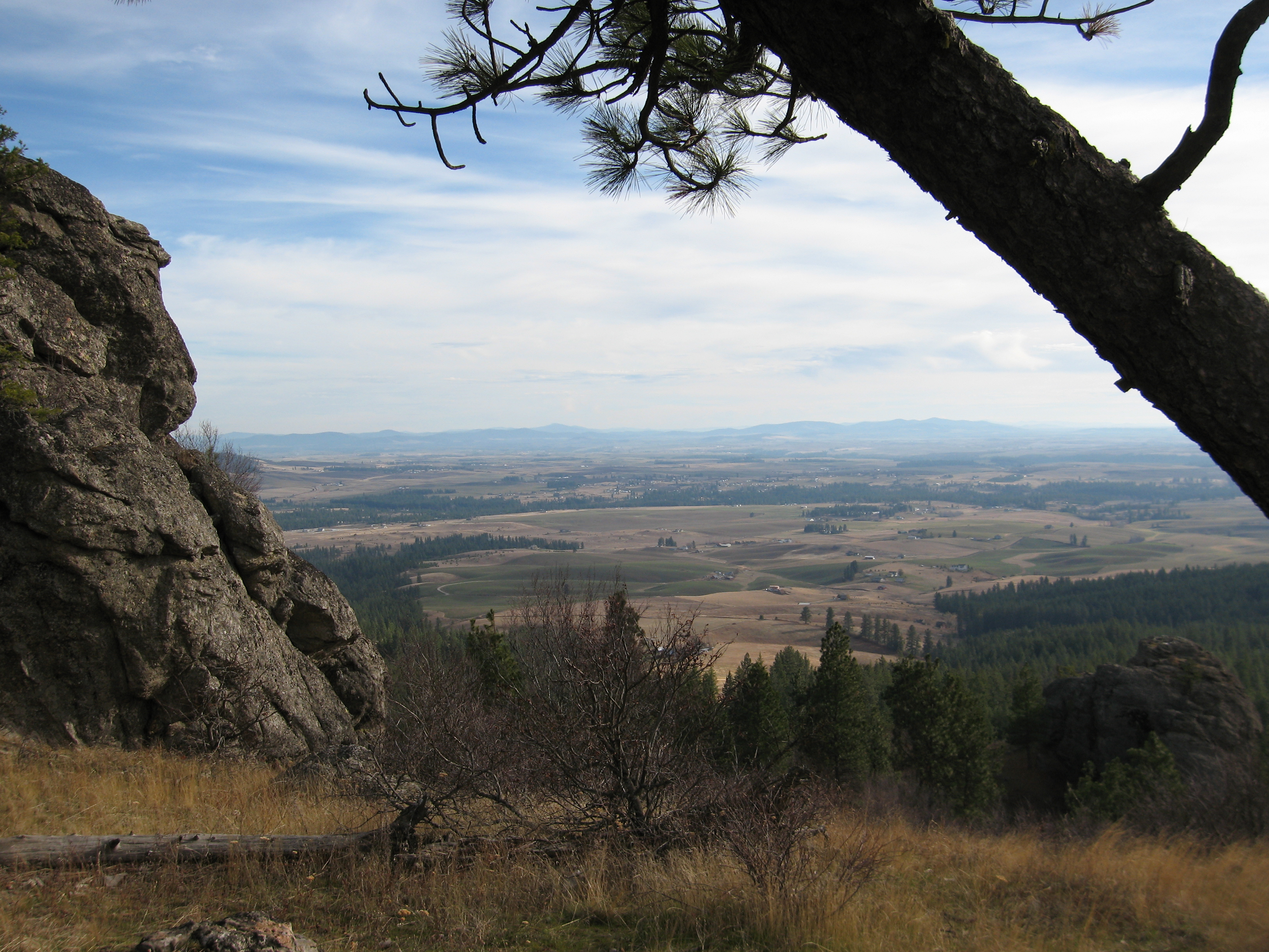
081115_031-View south near Big Rock
An old abandoned house on The Palouse Plains.

Almost Time
Barn and Peas
Palouse barn

Heaven and Earth

Spring Wheat Check

The Palouse
Sunrise after the harvest
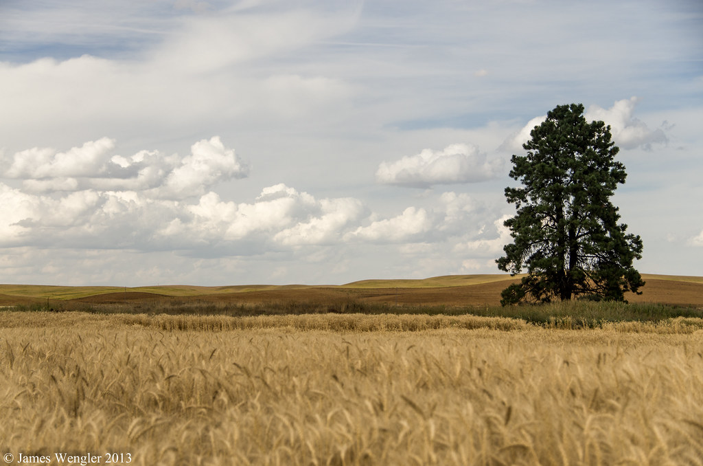
lonley tree

Hay Bales

Liberty Hay-2

Hay Bales

Sun Over Palouse - 3/52

Mt. Hope Cemetary
panoramic2 copy079

Palouse wild flowers
Glory Streams
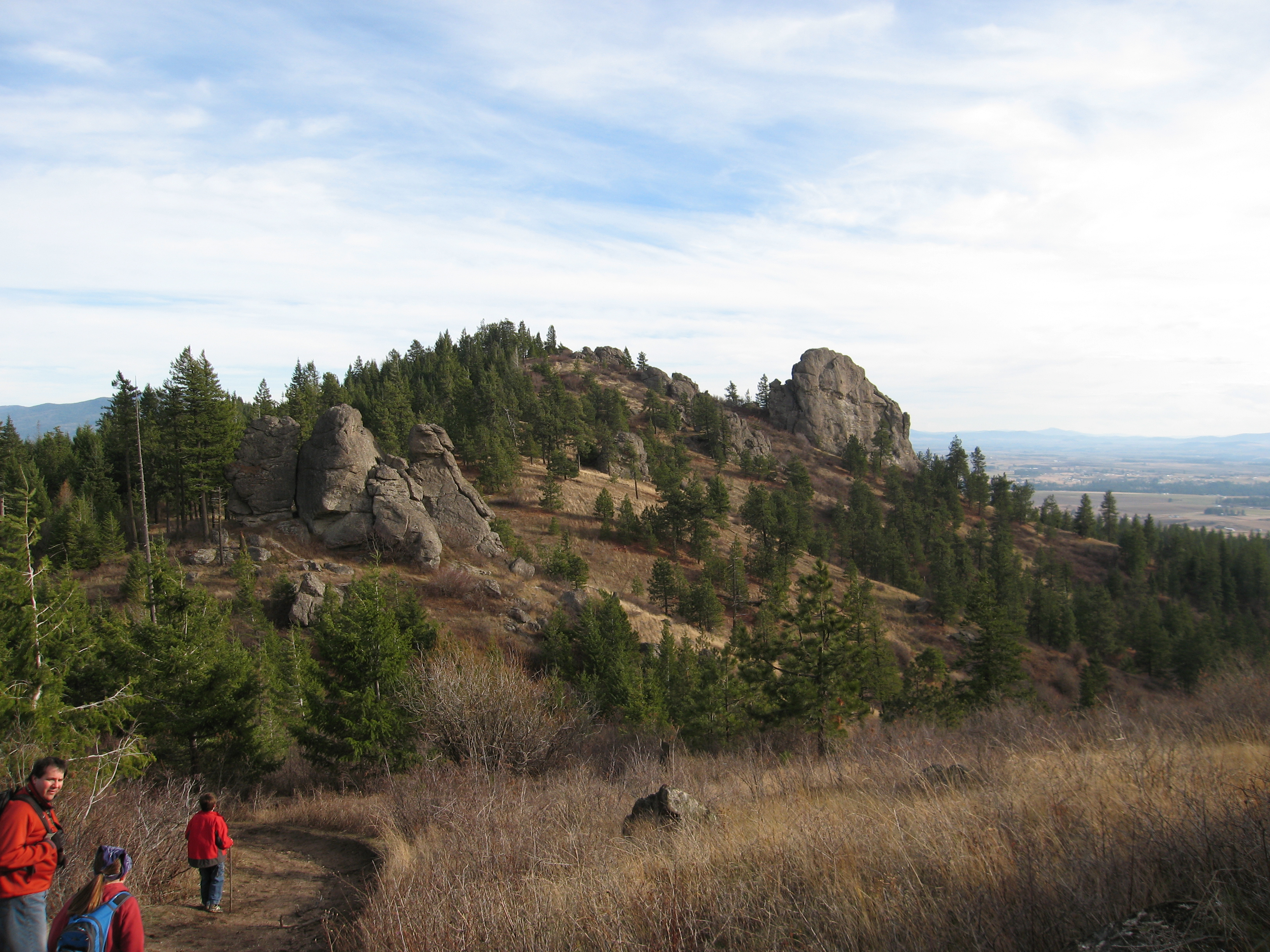
081115_025-Big Rock

Forgotten Homestead
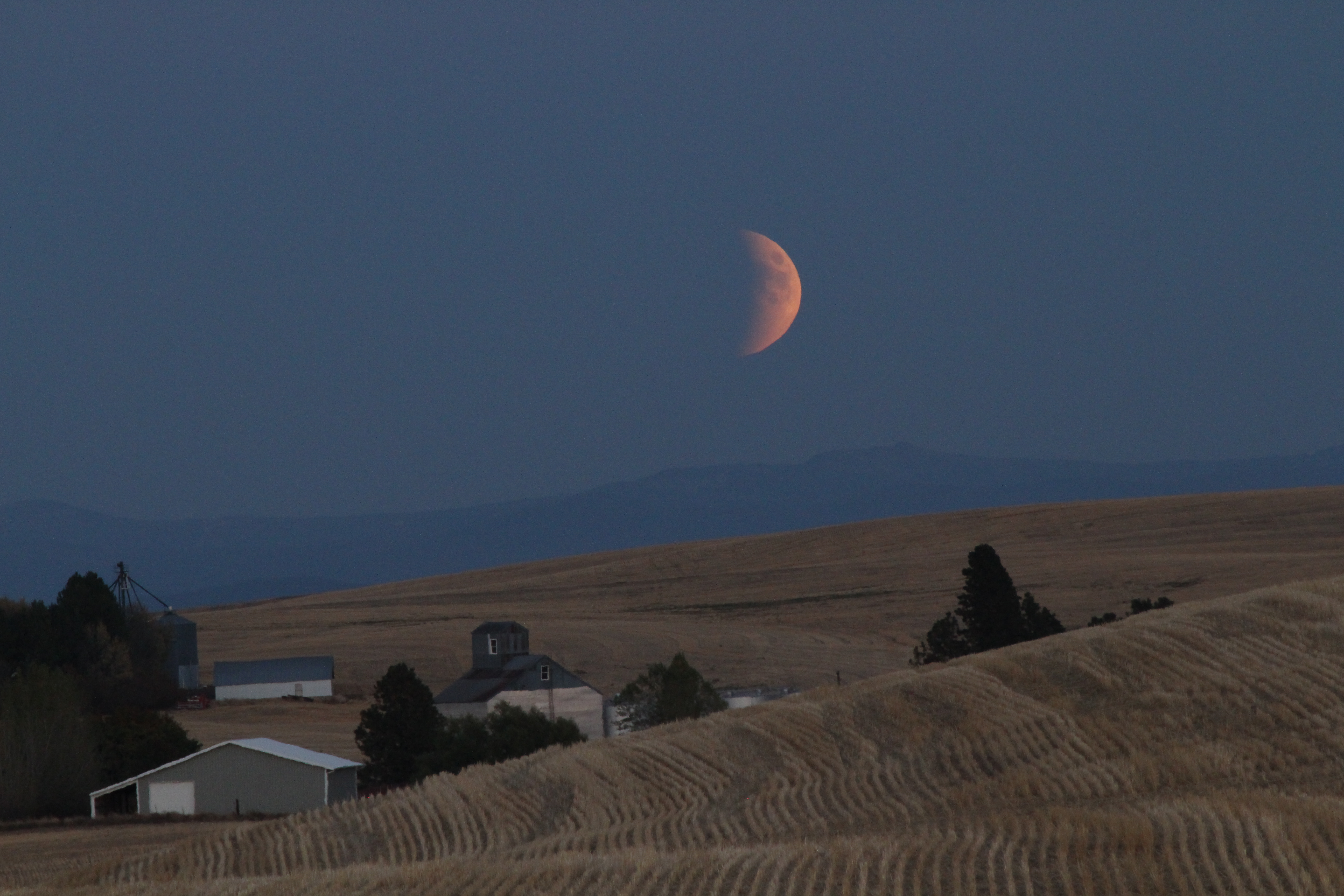
Lunar Eclipse
Topographic Map of E Valley Chapel Rd, Fairfield, WA, USA
Find elevation by address:

Places near E Valley Chapel Rd, Fairfield, WA, USA:
17313 E Morris Rd
E Prairie View Rd, Fairfield, WA, USA
Fairfield
Mica
10814 S Sands Rd
8012 S Jackson Rd
7404 S Jackson Rd
6024 S Zuni Dr
5227 S Dishman Mica Rd
14907 E Aurora Ln
4816 S Low Way Ct
4816 S Low Way Ct
4816 S Low Way Ct
S Main St, Spangle, WA, USA
Spangle
West Jennings Road
4802 S Farr Rd
3723 S Virginia Ln
3711 Wa-27
4217 S Driftwood Dr
Recent Searches:
- Elevation of Corso Fratelli Cairoli, 35, Macerata MC, Italy
- Elevation of Tallevast Rd, Sarasota, FL, USA
- Elevation of 4th St E, Sonoma, CA, USA
- Elevation of Black Hollow Rd, Pennsdale, PA, USA
- Elevation of Oakland Ave, Williamsport, PA, USA
- Elevation of Pedrógão Grande, Portugal
- Elevation of Klee Dr, Martinsburg, WV, USA
- Elevation of Via Roma, Pieranica CR, Italy
- Elevation of Tavkvetili Mountain, Georgia
- Elevation of Hartfords Bluff Cir, Mt Pleasant, SC, USA