Elevation of W Main St, West Frankfort, IL, USA
Location: United States > Illinois > Franklin County > Denning Township > West Frankfort >
Longitude: -88.931359
Latitude: 37.897812
Elevation: 123m / 404feet
Barometric Pressure: 100KPa
Elevation Map:
Satellite Map:
Related Photos:

Illinois Central Depot? Benton, IL
Benton Station
Benton Depot with Railroad

Star View Winery
Franklin County Courthouse, Benton, IL

War Memorial With A View

First try
2007-10-07-Benton_RendLake-48
2007-10-07-Benton_RendLake-78
2007-10-07-Benton_RendLake-61
2007-10-07-Benton_RendLake-46

2007-10-07-Benton_RendLake-14

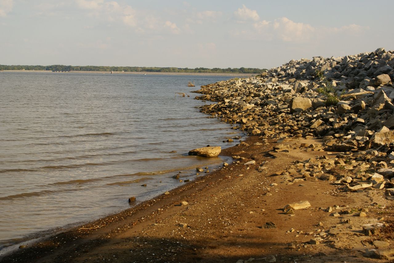
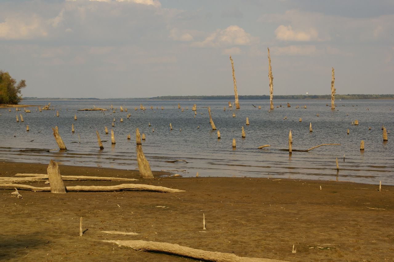
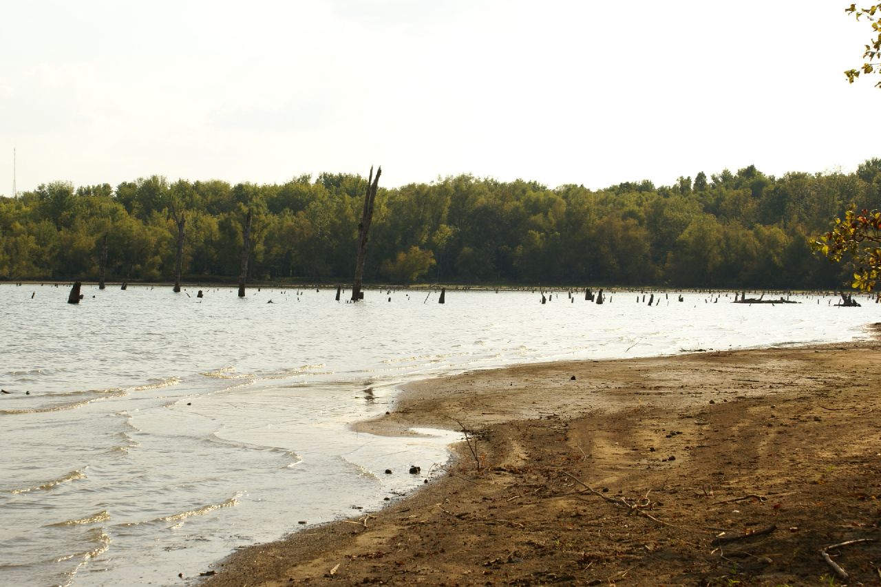
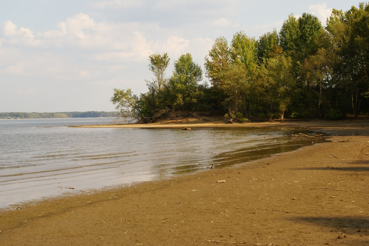
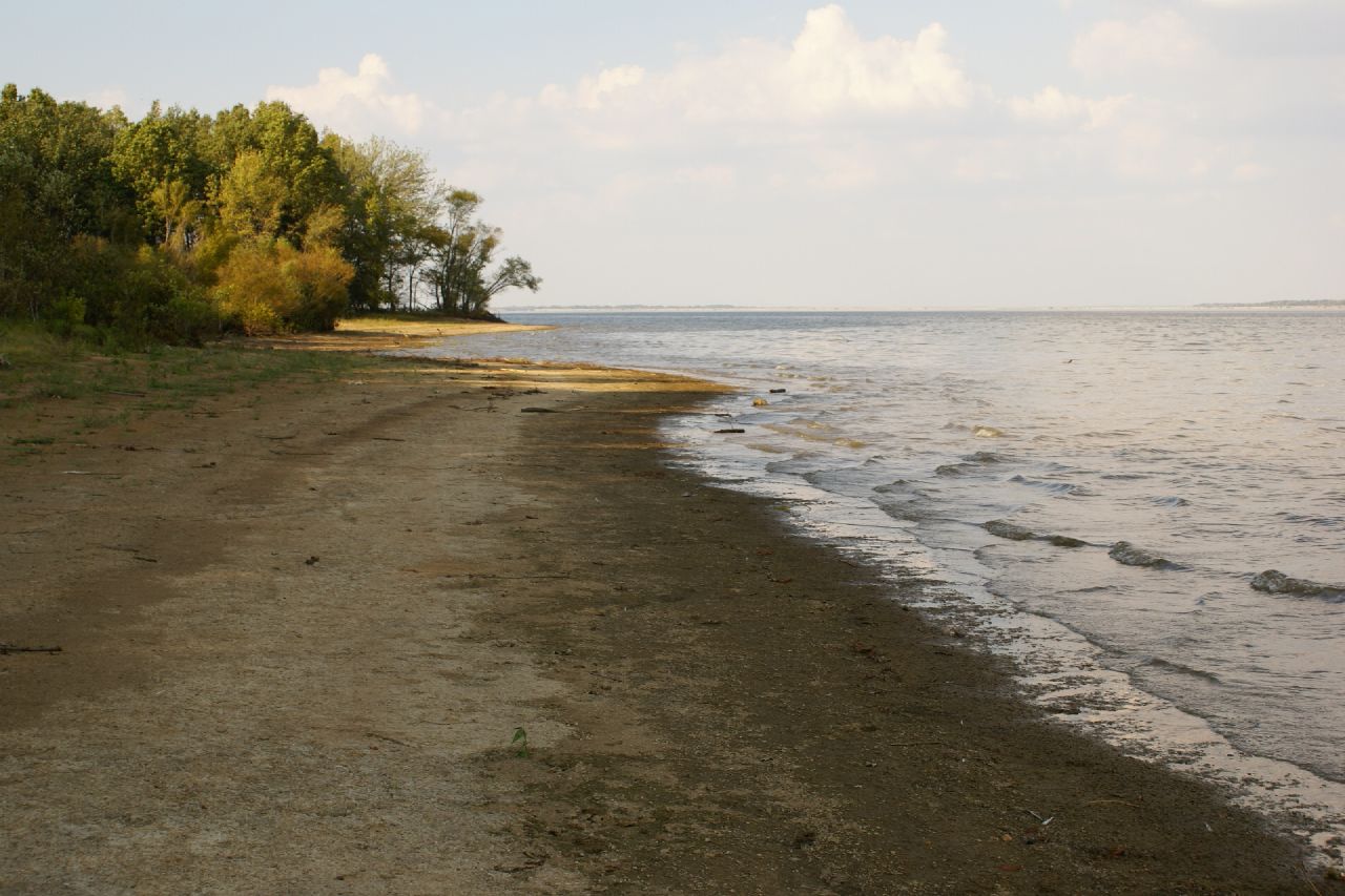
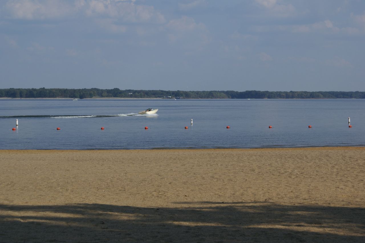
Rend Lake

Crowd at Sunset
2007-10-07-Benton_RendLake-36
2007-10-07-Benton_RendLake-45
2007-10-07-Benton_RendLake-1
2007-10-07-Benton_RendLake-15
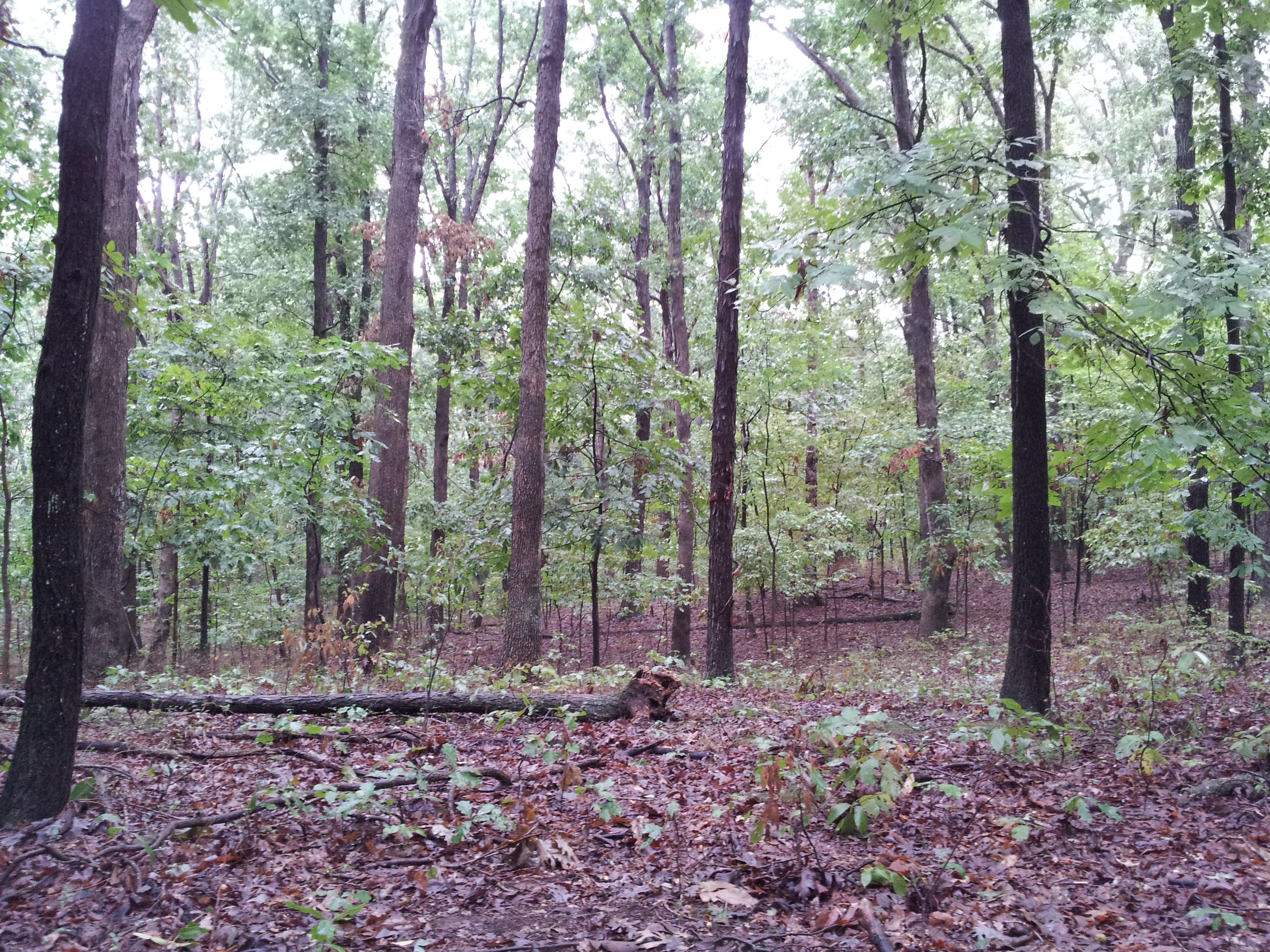
The Woods

Moon Twlight

Sunset in a Small Town

Eastern Cottontail

Spring Storm

Horsies & Honeysuckle
Topographic Map of W Main St, West Frankfort, IL, USA
Find elevation by address:

Places near W Main St, West Frankfort, IL, USA:
West Frankfort
1106 E Lindell St
Deering Rd, West Frankfort, IL, USA
Jackson St, Orient, IL, USA
Orient
10775 Co Hwy 26
IL-, West Frankfort, IL, USA
Denning Township
401 W 12th St
Johnston City
Washington Ave, Johnston City, IL, USA
Lake Creek Precinct
7520 Yellow Banks Rd
7500 Co Hwy 11
Herrin Precinct
E Mine B Rd, Herrin, IL, USA
13818 Fowler School Rd
6498 Union St
Logan
12882 Il-37
Recent Searches:
- Elevation of Congressional Dr, Stevensville, MD, USA
- Elevation of Bellview Rd, McLean, VA, USA
- Elevation of Stage Island Rd, Chatham, MA, USA
- Elevation of Shibuya Scramble Crossing, 21 Udagawacho, Shibuya City, Tokyo -, Japan
- Elevation of Jadagoniai, Kaunas District Municipality, Lithuania
- Elevation of Pagonija rock, Kranto 7-oji g. 8"N, Kaunas, Lithuania
- Elevation of Co Rd 87, Jamestown, CO, USA
- Elevation of Tenjo, Cundinamarca, Colombia
- Elevation of Côte-des-Neiges, Montreal, QC H4A 3J6, Canada
- Elevation of Bobcat Dr, Helena, MT, USA