Elevation of Co Hwy 26, Benton, IL, USA
Location: United States > Illinois > Franklin County > Browning Township >
Longitude: -88.954595
Latitude: 37.9501641
Elevation: 140m / 459feet
Barometric Pressure: 100KPa
Elevation Map:
Satellite Map:
Related Photos:
Benton Station

Illinois Central Depot? Benton, IL
Benton Depot with Railroad

Star View Winery
Franklin County Courthouse, Benton, IL
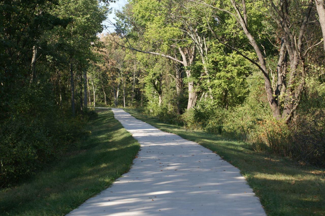
Blackberry Trail
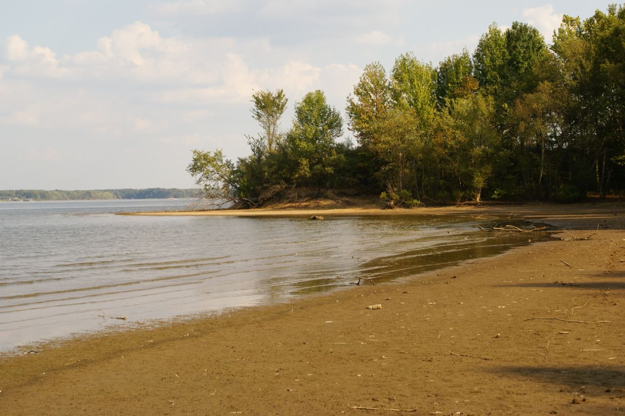
2007-10-07-Benton_RendLake-48
2007-10-07-Benton_RendLake-61
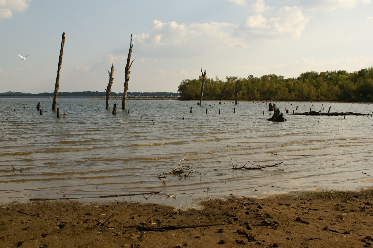
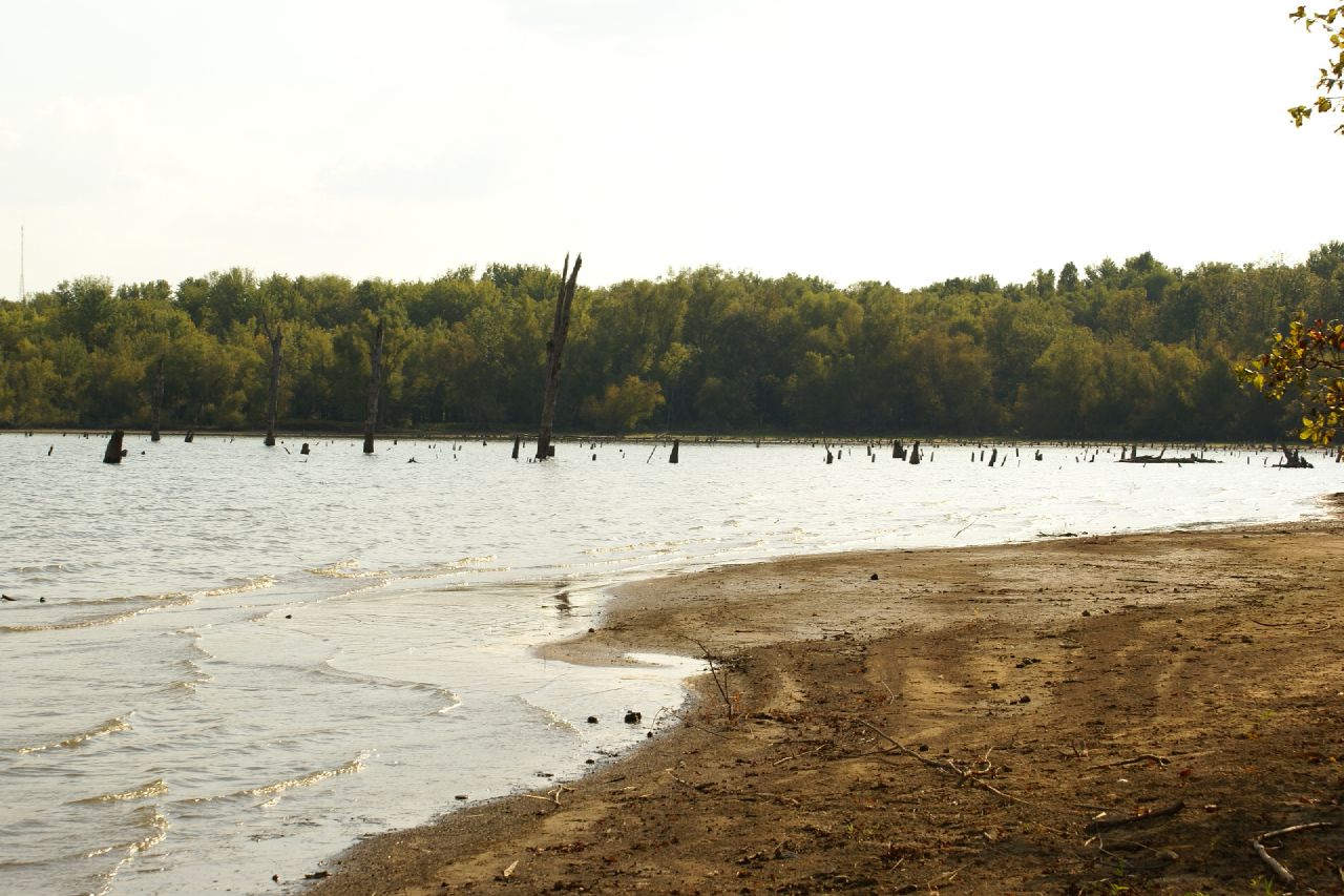
2007-10-07-Benton_RendLake-78

Sunset in a Small Town
2007-10-07-Benton_RendLake-14
Blackberry Trail
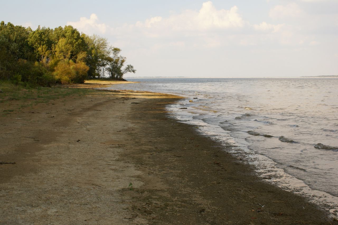
2007-10-07-Benton_RendLake-46

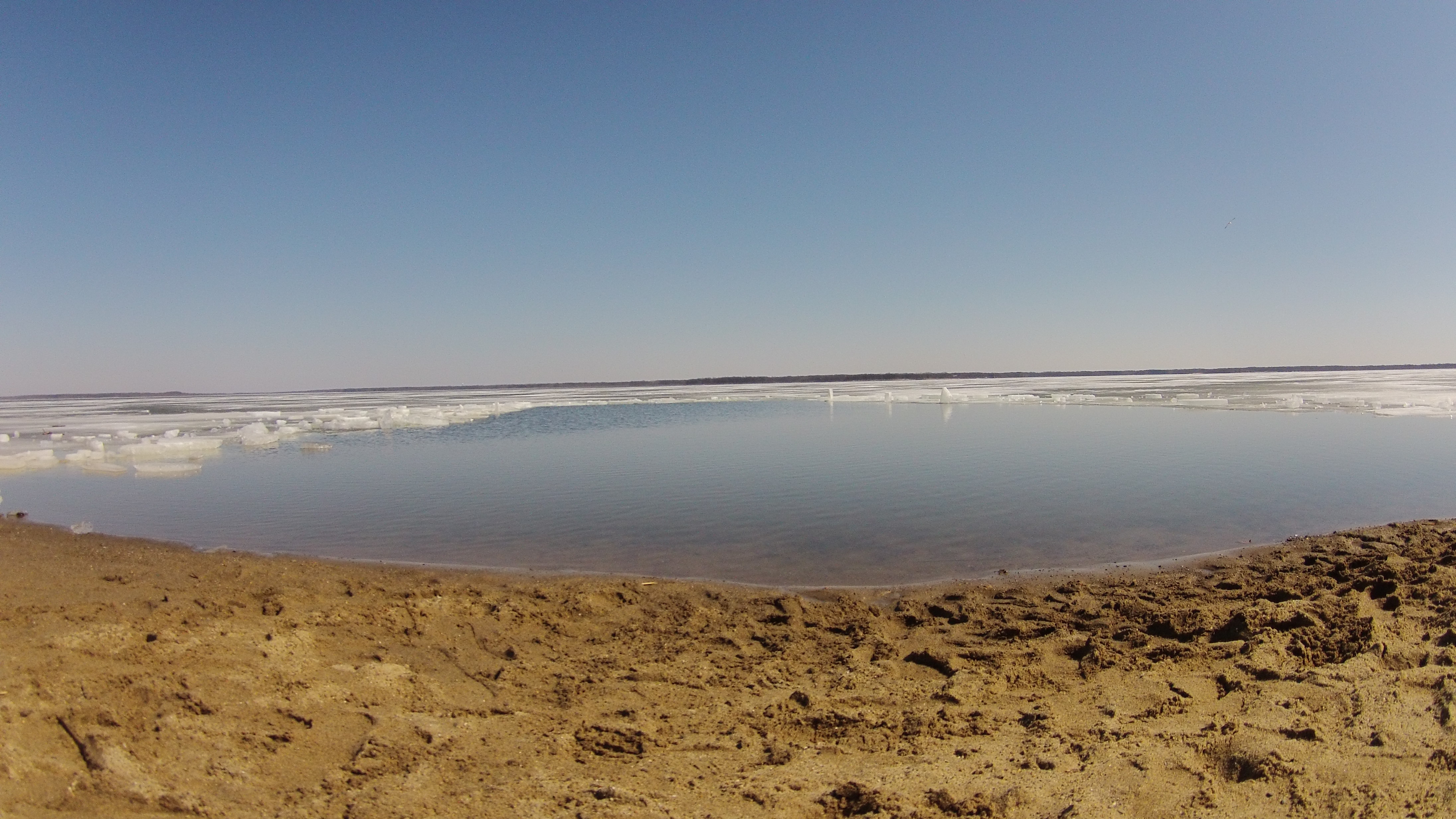
Rend Lake

Crowd at Sunset
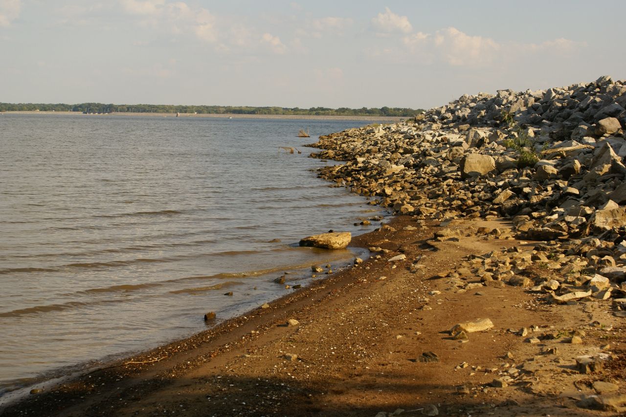
2007-10-07-Benton_RendLake-36
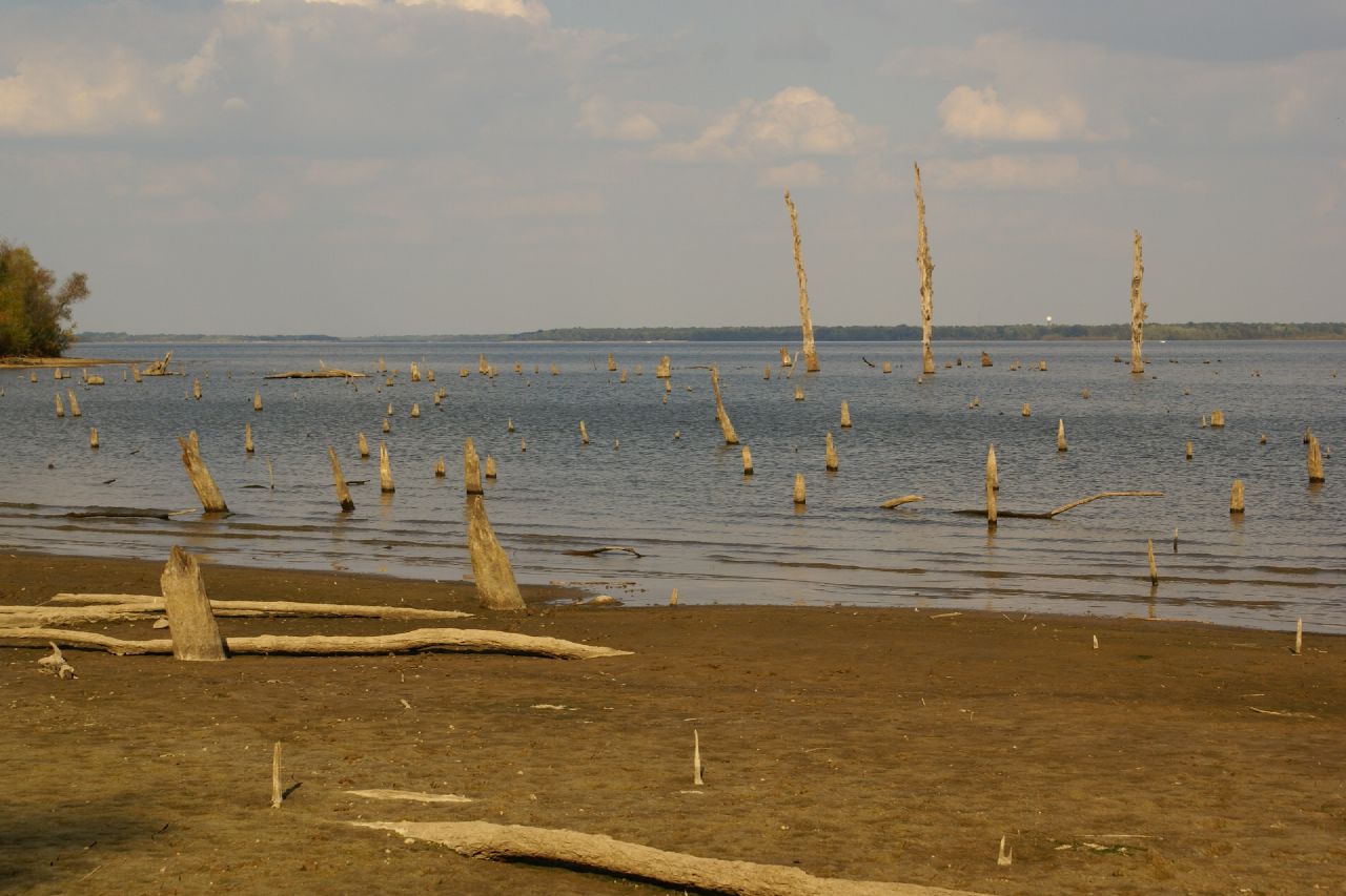
2007-10-07-Benton_RendLake-45

Rend Lake in Illinois
2015RendPlunge-WS470
2007-10-07-Benton_RendLake-1
Rend Lake in Illinois
2007-10-07-Benton_RendLake-15
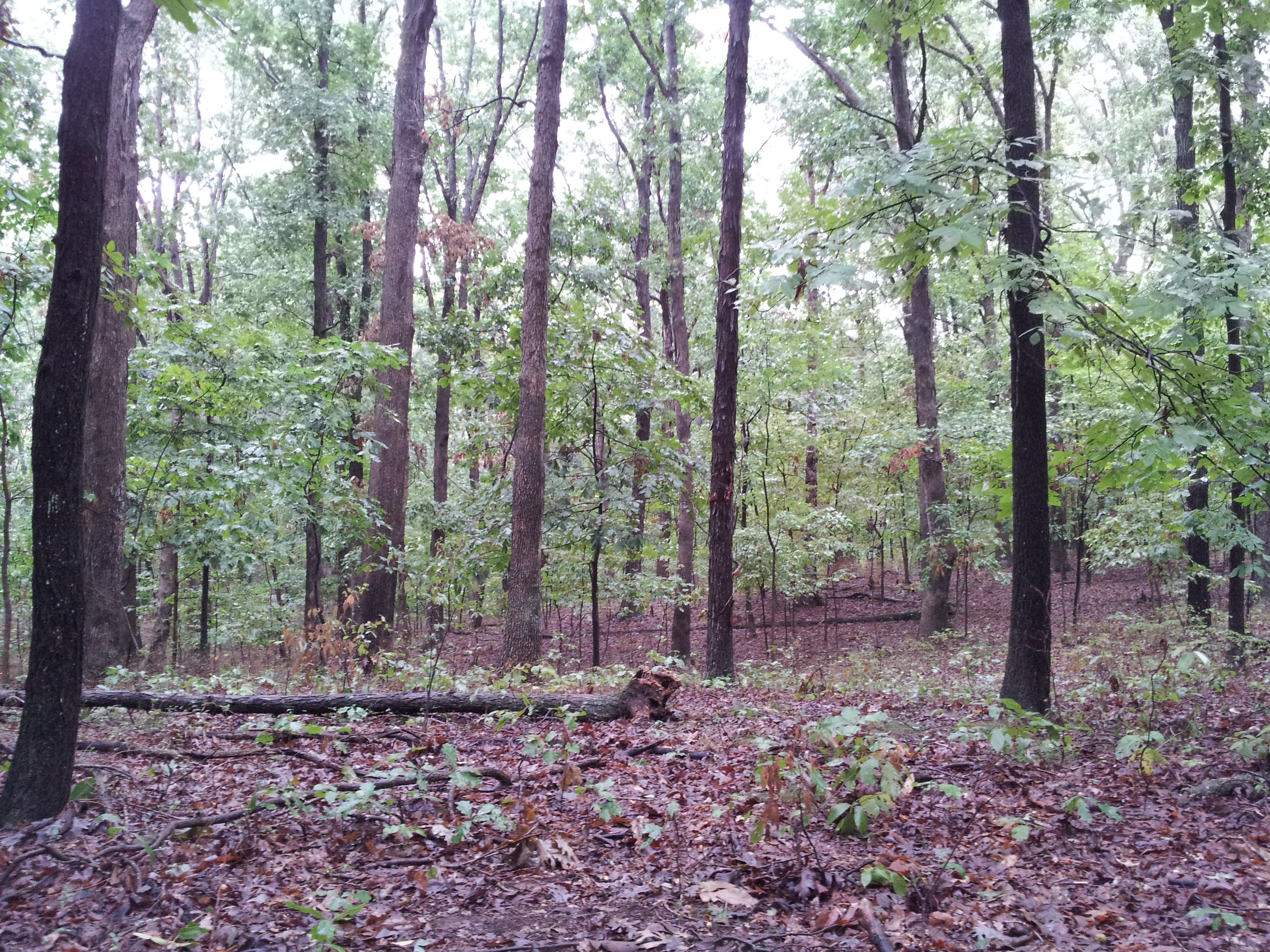
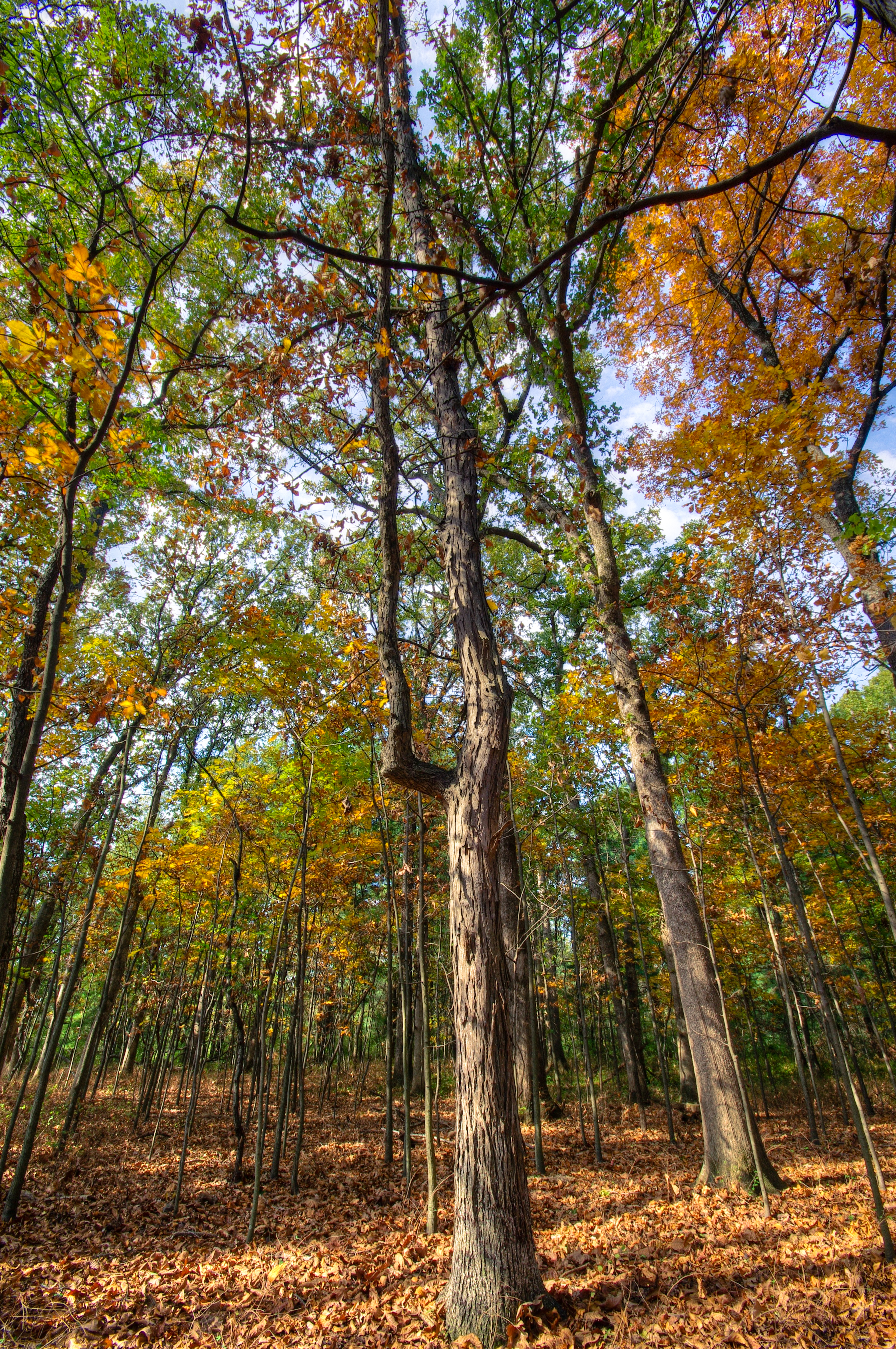
The Woods
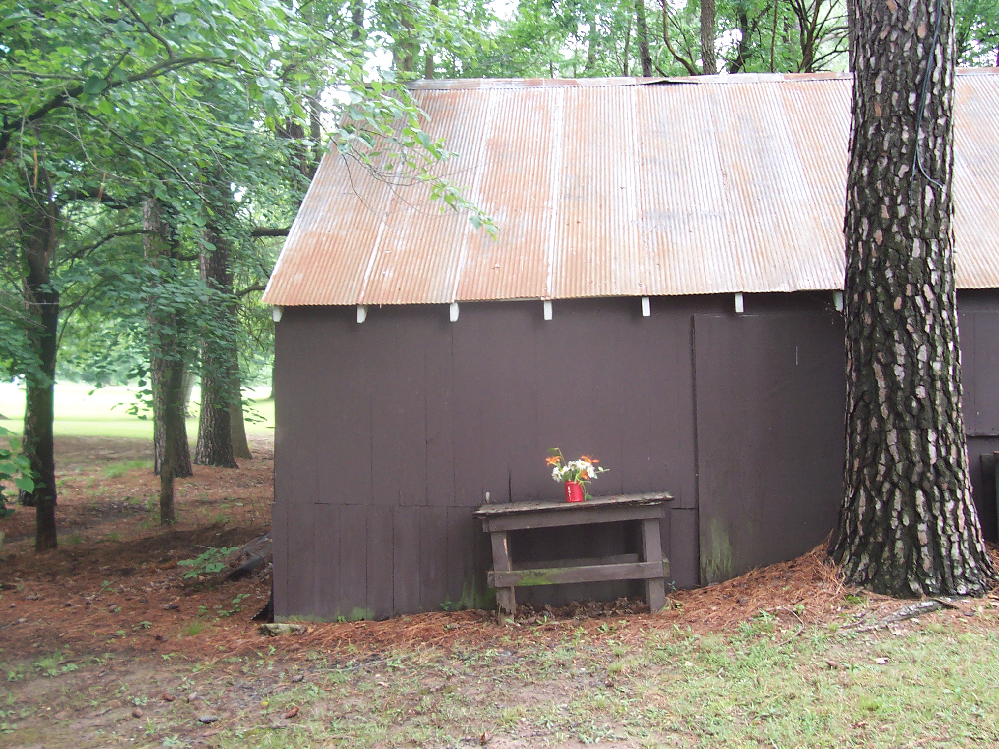
Floral Arangment

Blackberry Trail

Horsies & Honeysuckle
Topographic Map of Co Hwy 26, Benton, IL, USA
Find elevation by address:

Places near Co Hwy 26, Benton, IL, USA:
Jackson St, Orient, IL, USA
Orient
Denning Township
7520 Yellow Banks Rd
7500 Co Hwy 11
IL-, West Frankfort, IL, USA
Herrin Precinct
E Mine B Rd, Herrin, IL, USA
N Park Ave, Herrin, IL, USA
Travis Ct, Herrin, IL, USA
604 Paul Ct
Six Mile Township
Herrin
301 N 20th St
1500 W Maple St
IL-, Royalton, IL, USA
Royalton
Colp
3rd St, Carterville, IL, USA
Blairsville Precinct
Recent Searches:
- Elevation of Zu den Ihlowbergen, Althüttendorf, Germany
- Elevation of Badaber, Peshawar, Khyber Pakhtunkhwa, Pakistan
- Elevation of SE Heron Loop, Lincoln City, OR, USA
- Elevation of Slanický ostrov, 01 Námestovo, Slovakia
- Elevation of Spaceport America, Co Rd A, Truth or Consequences, NM, USA
- Elevation of Warwick, RI, USA
- Elevation of Fern Rd, Whitmore, CA, USA
- Elevation of 62 Abbey St, Marshfield, MA, USA
- Elevation of Fernwood, Bradenton, FL, USA
- Elevation of Felindre, Swansea SA5 7LU, UK