Elevation of Travis Ct, Herrin, IL, USA
Location: United States > Illinois > Williamson County > Herrin Precinct > Herrin >
Longitude: -88.999986
Latitude: 37.8030725
Elevation: 125m / 410feet
Barometric Pressure: 100KPa
Elevation Map:
Satellite Map:
Related Photos:
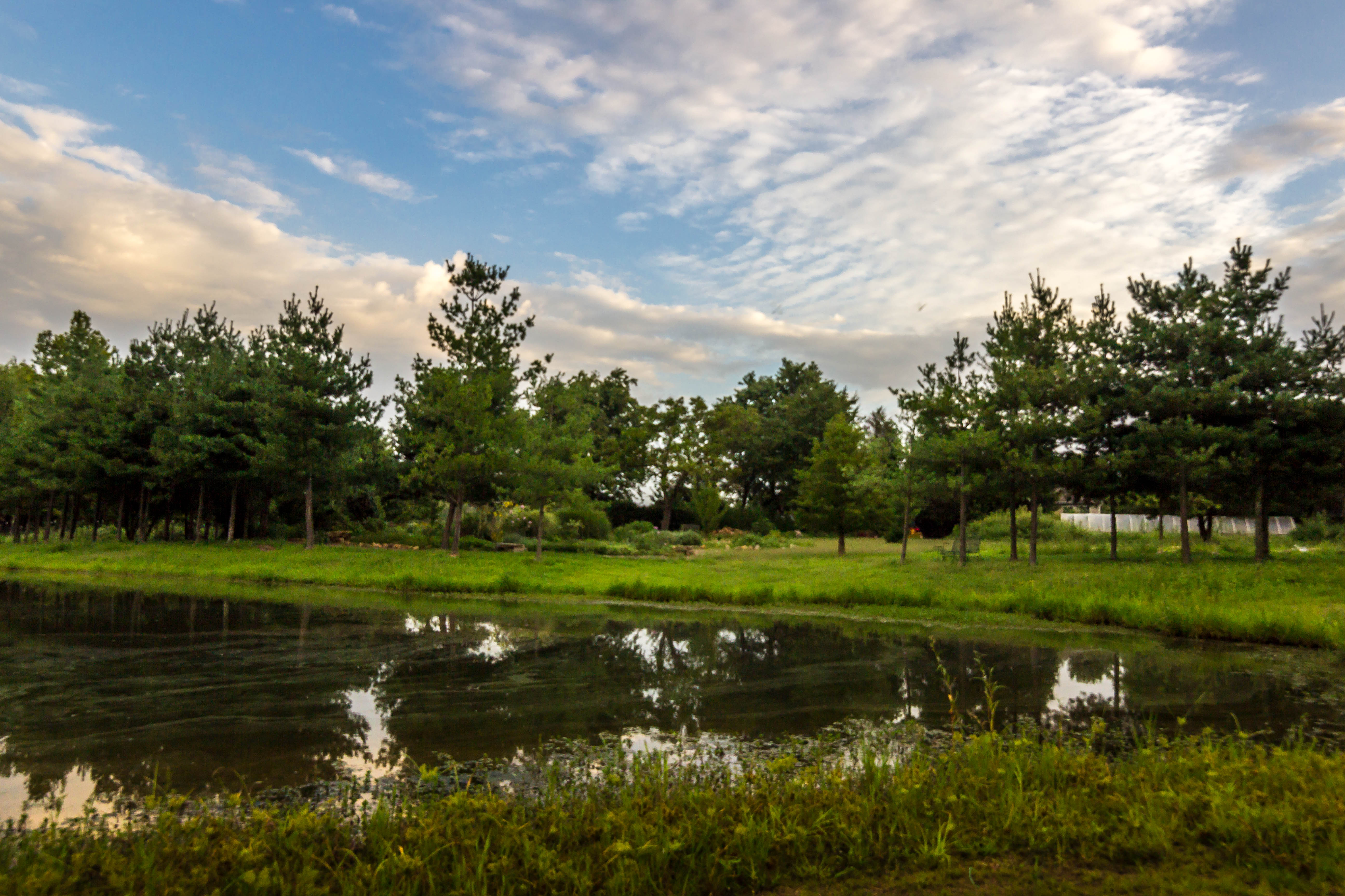
A Bench with a View

Zoomed view during the clouds.
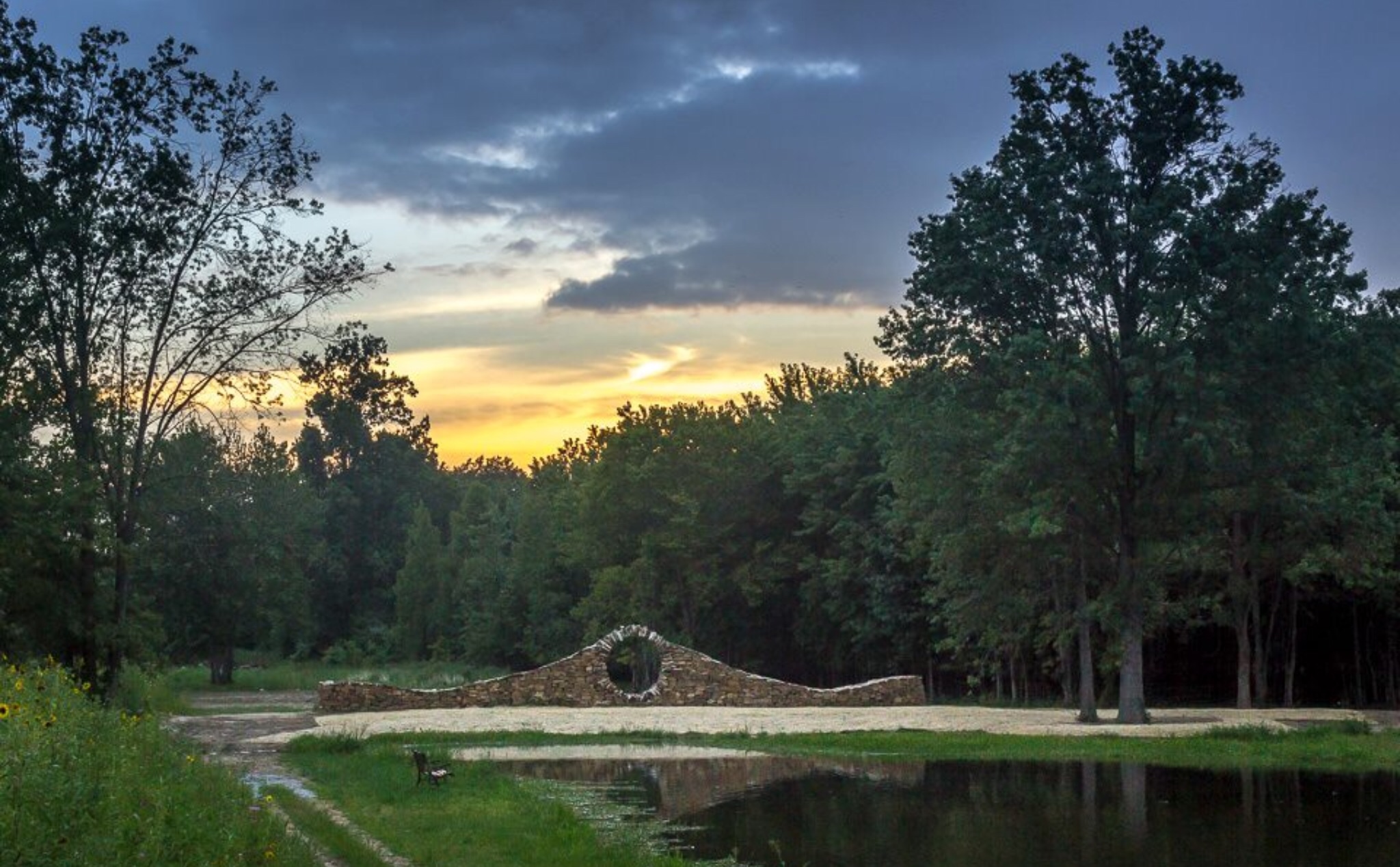
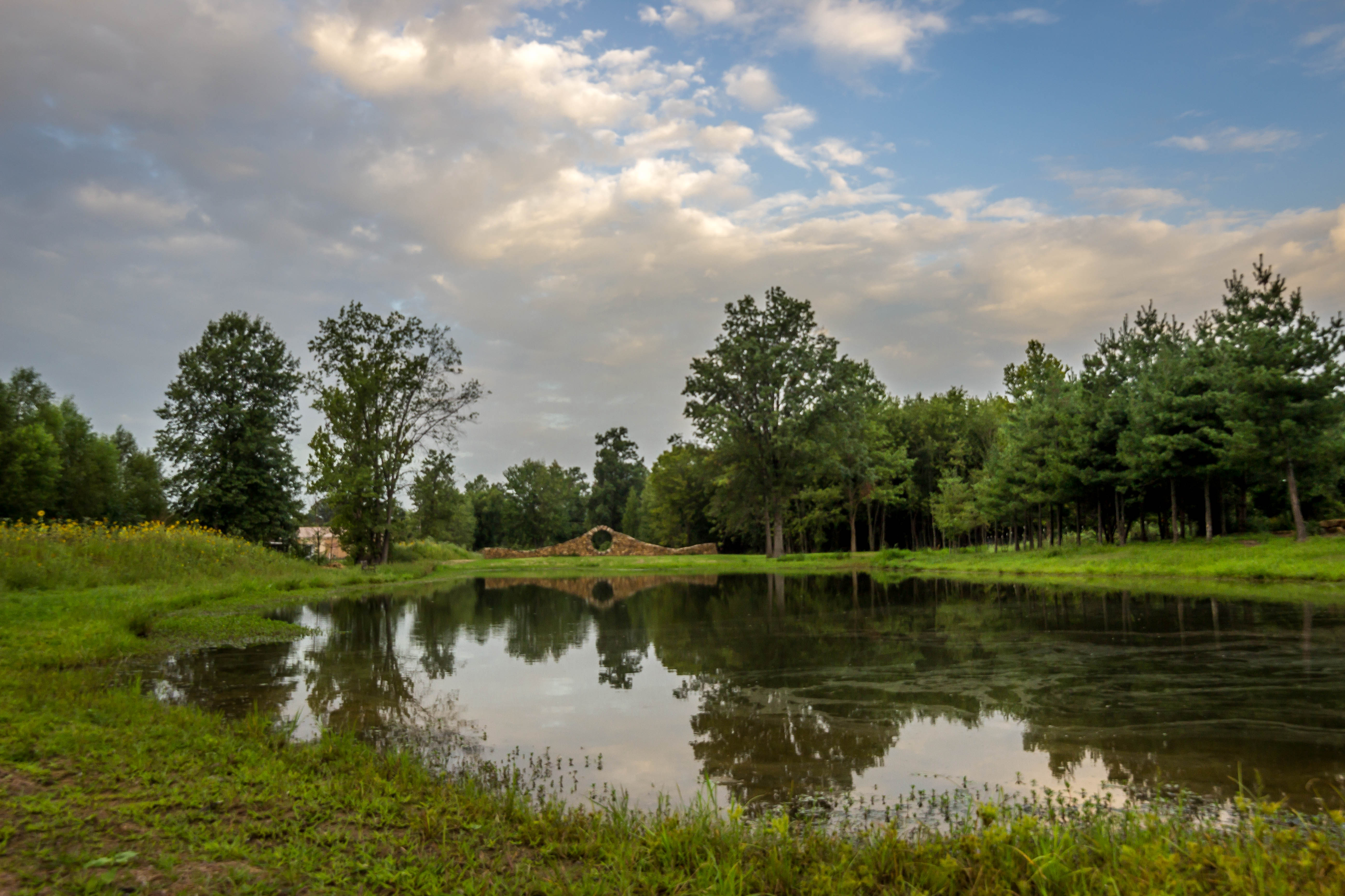
Sunset at Mandala Gardens, Marion, IL.
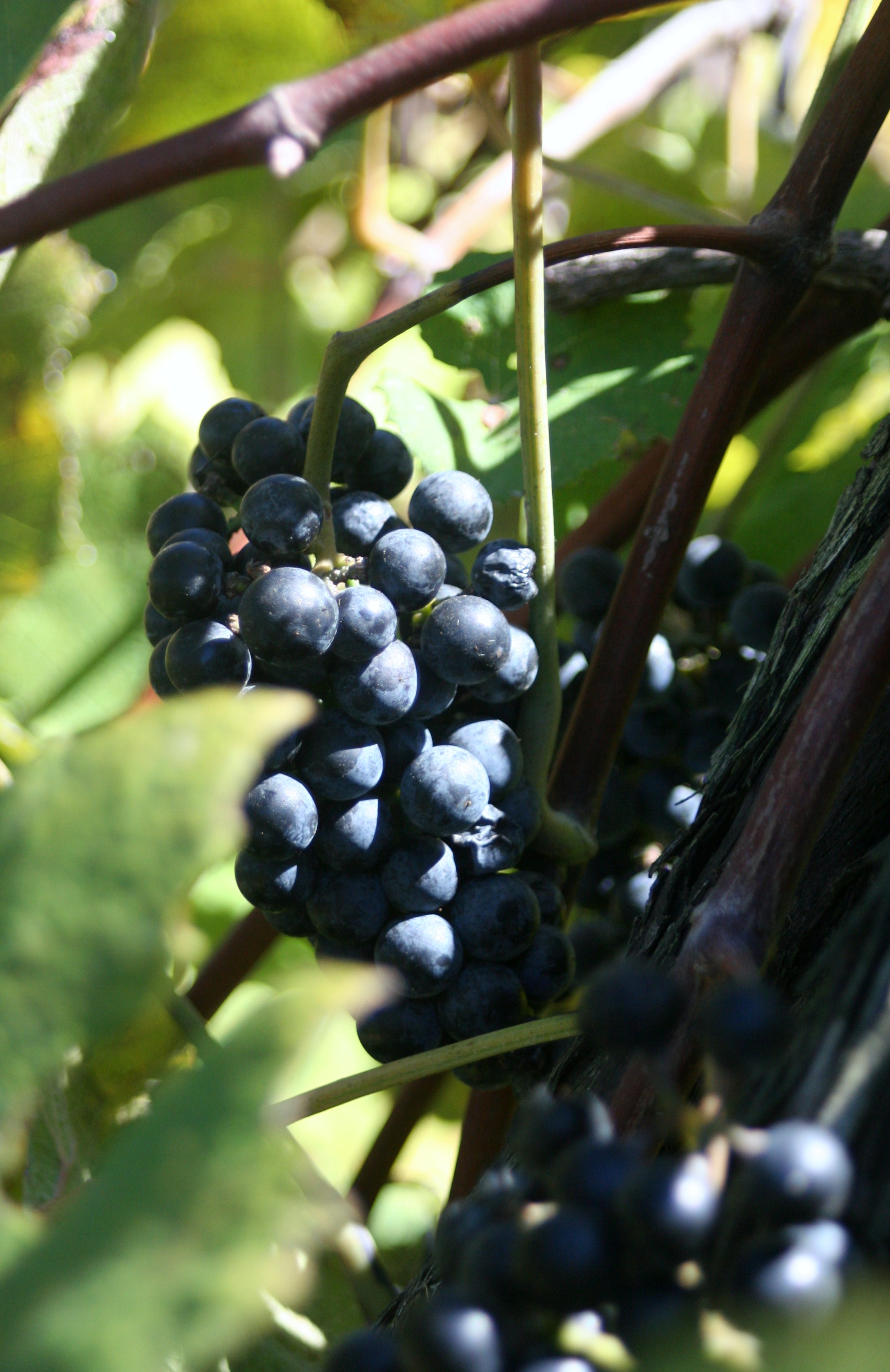
Star View Winery
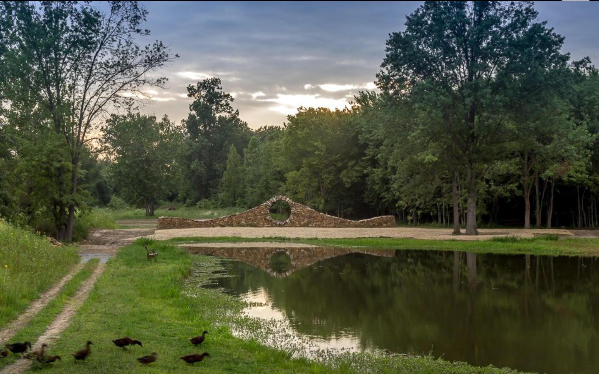
Ducks heading to pond for an evening swim at Mandala Gardens, Marion, IL.

Sunflowers at sunset.

War Memorial With A View

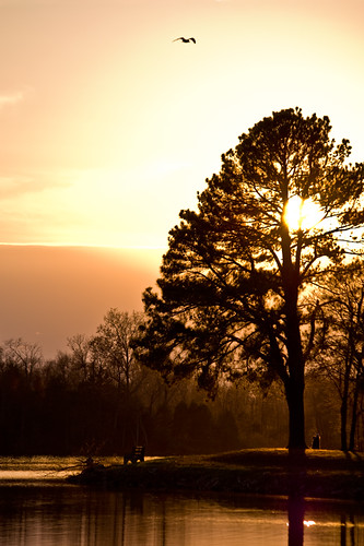
Leaner in the Light

IMG_5462.jpg
IMG_4168.jpg
IMG_4167.jpg
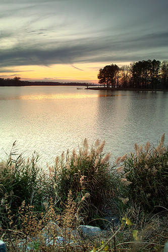
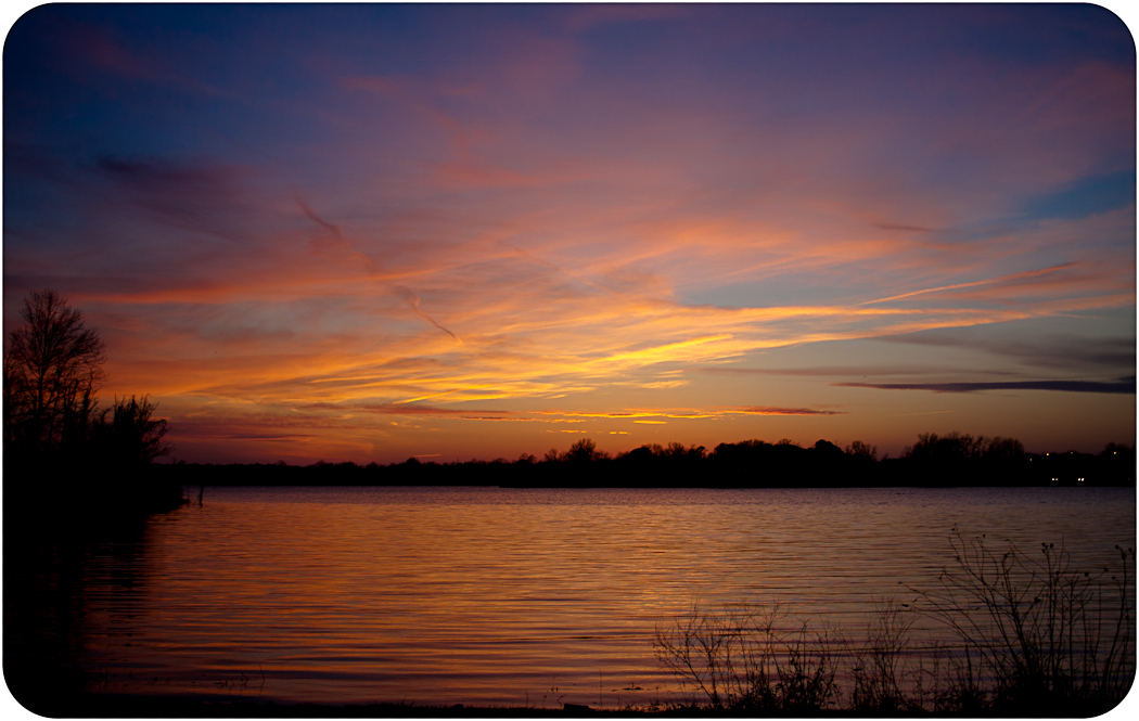
Sunset Calm
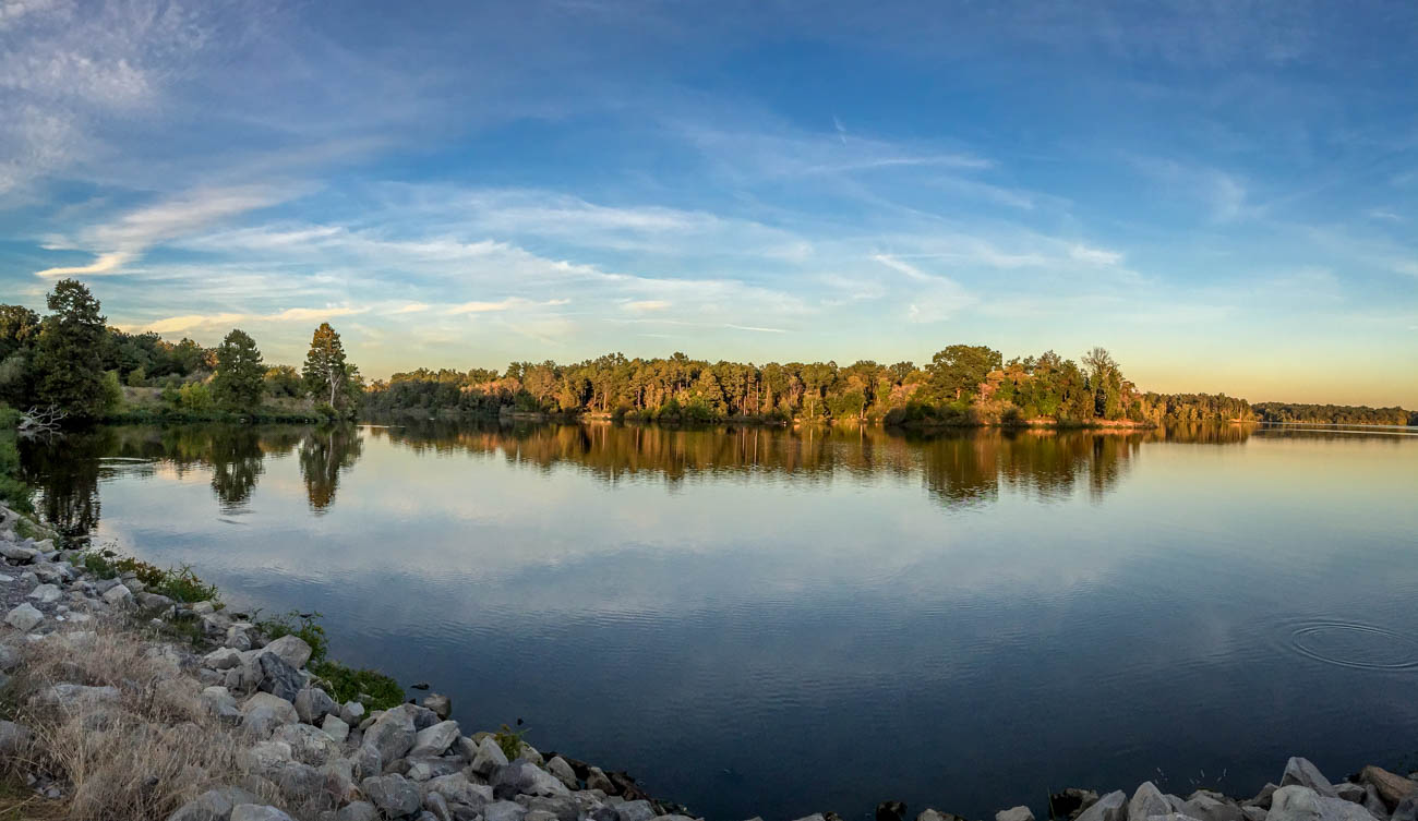
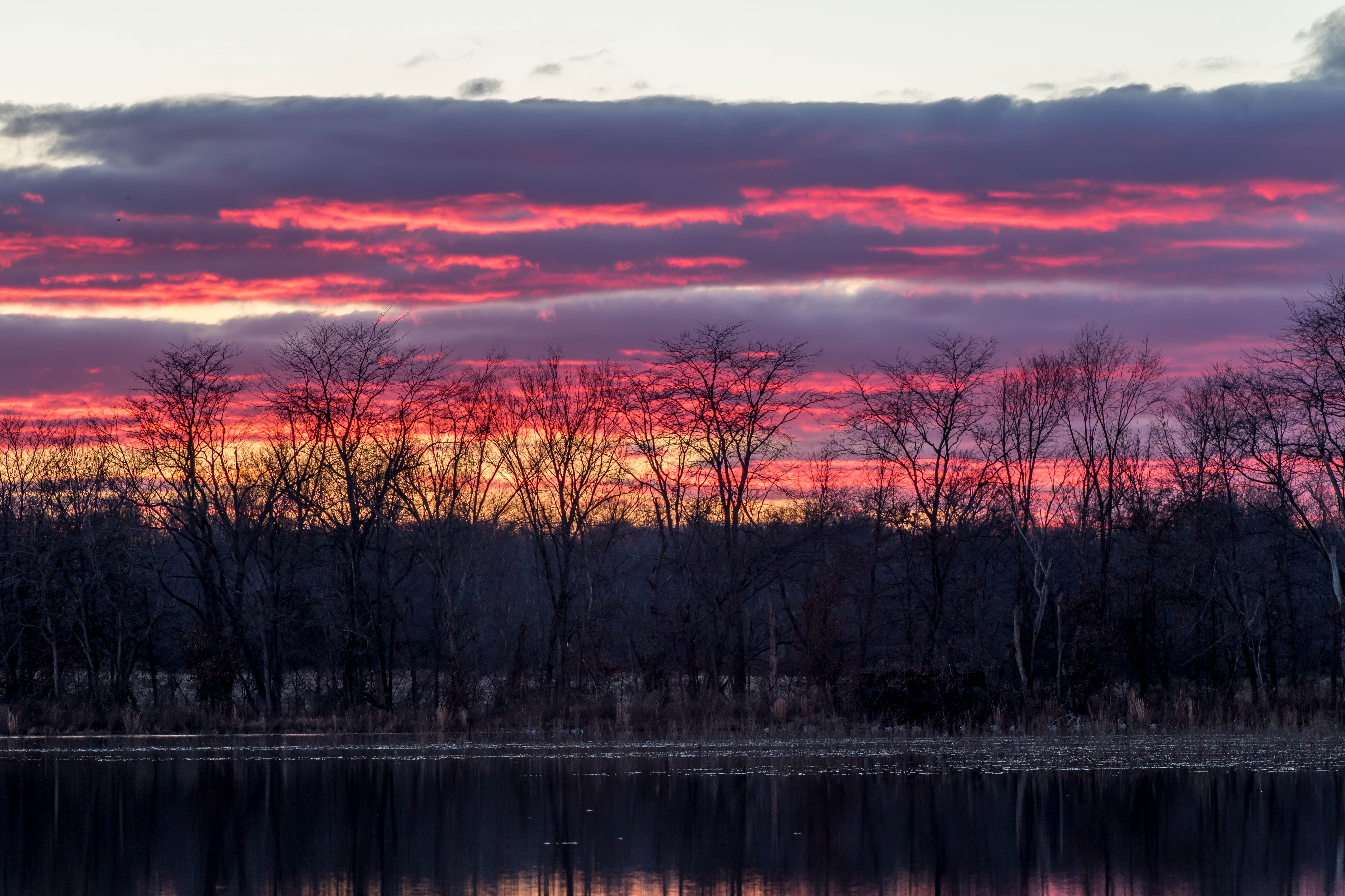
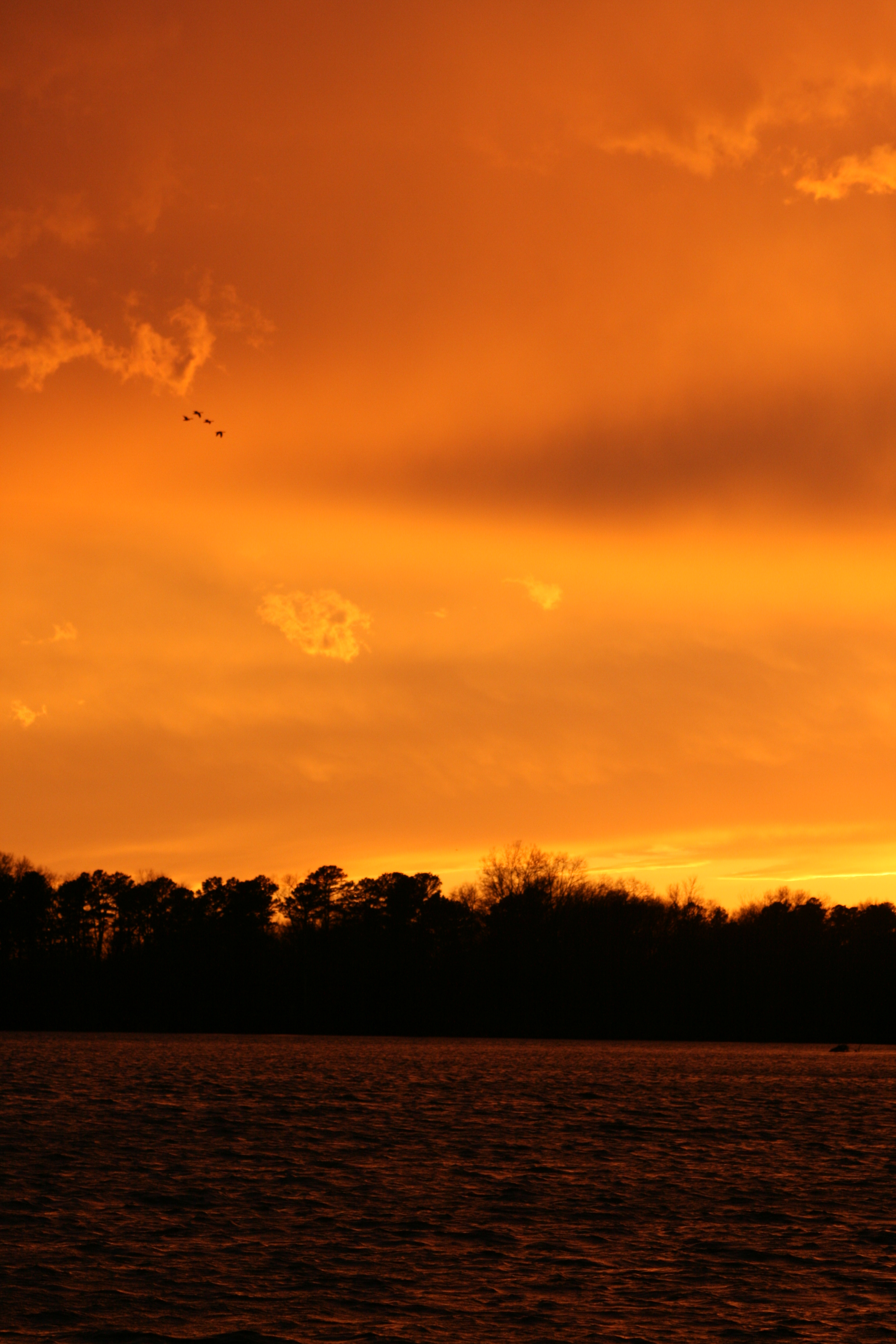
Crab Orchard Sunset So Il
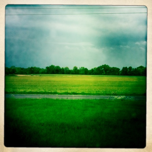
fields.
11/23/2008
Southern Illinois early morning serenity.
IMG_0026.jpg

IMG_4465_6_7.jpg

IMG_5456.jpg
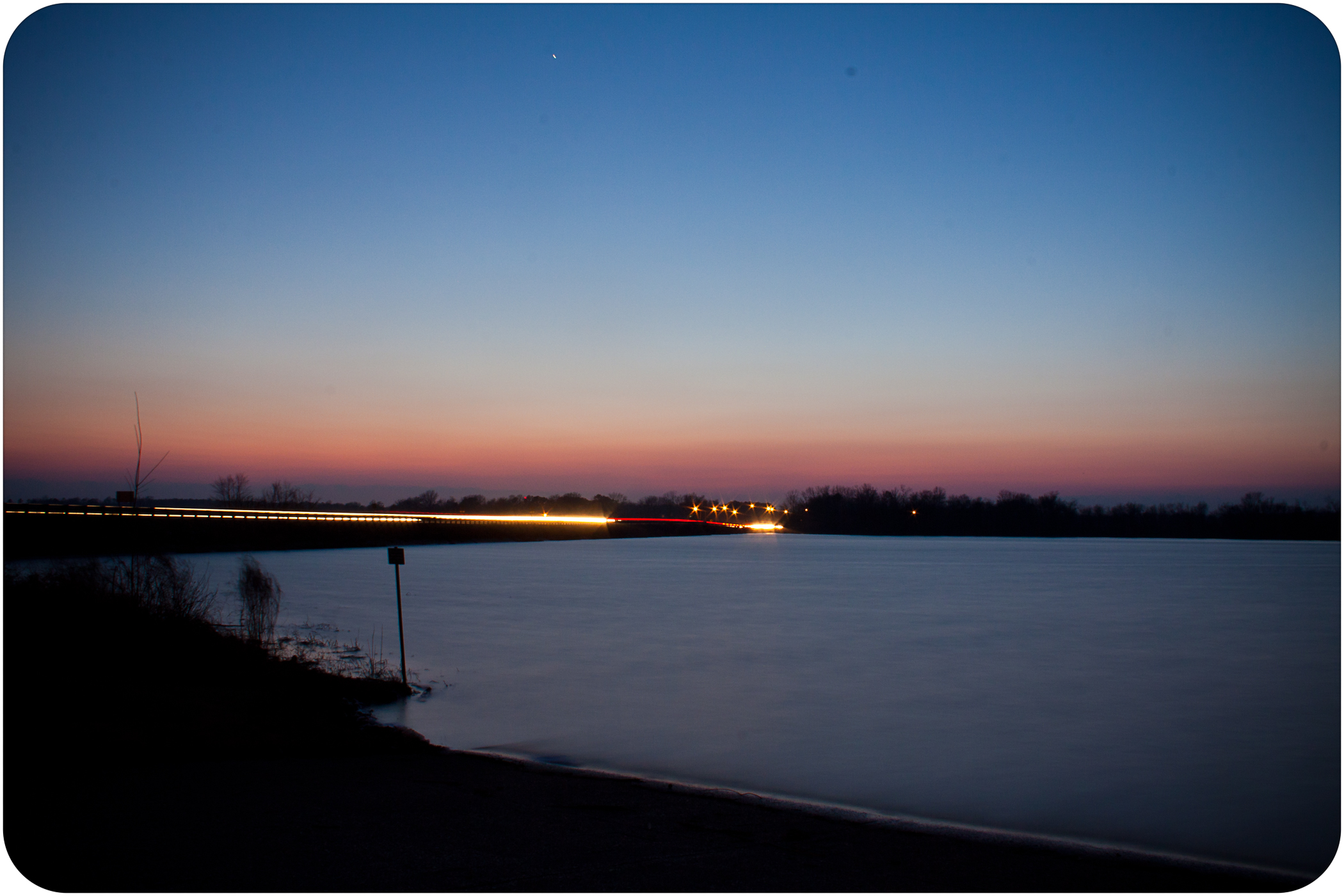
Winter Sunsets
IMG_5445.jpg

IMG_5403.jpg

Sunset Southern Illinois
Crab Orchard Sunset So Il
IMG_7581.jpg
Crab Orchard Sunset So Il

IMG_3941.jpg
01-02-08 247
IMG_3927.jpg
Topographic Map of Travis Ct, Herrin, IL, USA
Find elevation by address:

Places near Travis Ct, Herrin, IL, USA:
604 Paul Ct
Herrin Precinct
Herrin
E Mine B Rd, Herrin, IL, USA
301 N 20th St
N Park Ave, Herrin, IL, USA
1500 W Maple St
Colp
3rd St, Carterville, IL, USA
IL-, West Frankfort, IL, USA
Denning Township
Blairsville Precinct
Jackson St, Orient, IL, USA
Orient
Peach Tree St, Carterville, IL, USA
Royalton
Bush
IL-, Royalton, IL, USA
Elm Ave, De Soto, IL, USA
7500 Co Hwy 11
Recent Searches:
- Elevation of Bernina Dr, Lake Arrowhead, CA, USA
- Elevation of N 82nd Pl, Mesa, AZ, USA
- Elevation of Snake Hill Rd, North Scituate, RI, USA
- Elevation of Lake Shore Dr, Warwick, RI, USA
- Elevation of E Brightview Ave, Pittsburgh, PA, USA
- Elevation of Cavendish Rd, Harringay Ladder, London N4 1RR, UK
- Elevation of 1 Zion Park Blvd, Springdale, UT, USA
- Elevation of Ganderbal
- Elevation map of Konkan Division, Maharashtra, India
- Elevation of Netaji Nagar, Hallow Pul, Kurla, Mumbai, Maharashtra, India