Elevation of Co Hwy 11, Mulkeytown, IL, USA
Location: United States > Illinois > Franklin County > Denning Township >
Longitude: -89.014400
Latitude: 37.9495794
Elevation: 121m / 397feet
Barometric Pressure: 100KPa
Elevation Map:
Satellite Map:
Related Photos:
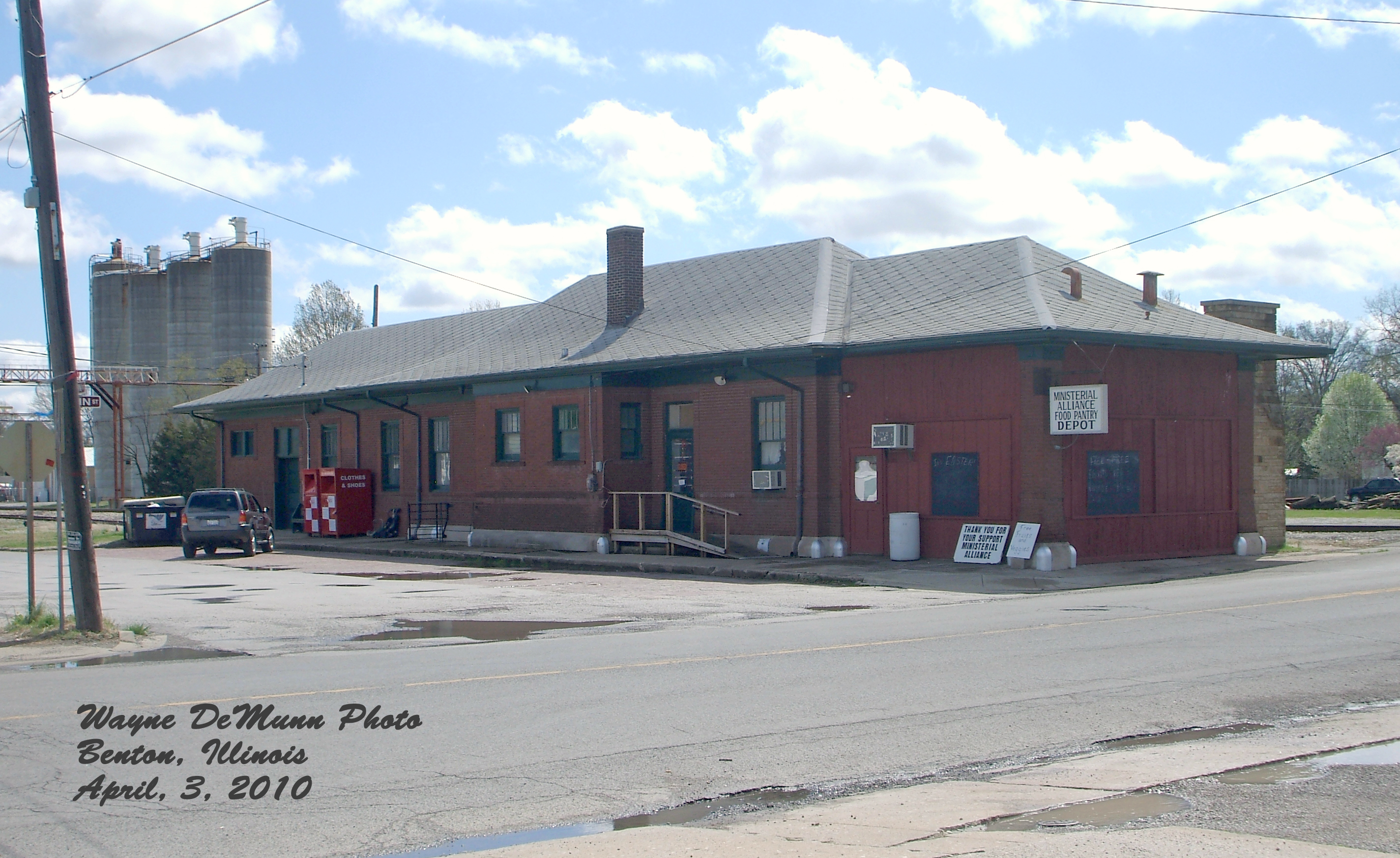
Illinois Central Depot? Benton, IL

Benton Depot with Railroad

Franklin County Courthouse, Benton, IL

Benton Station

Star View Winery

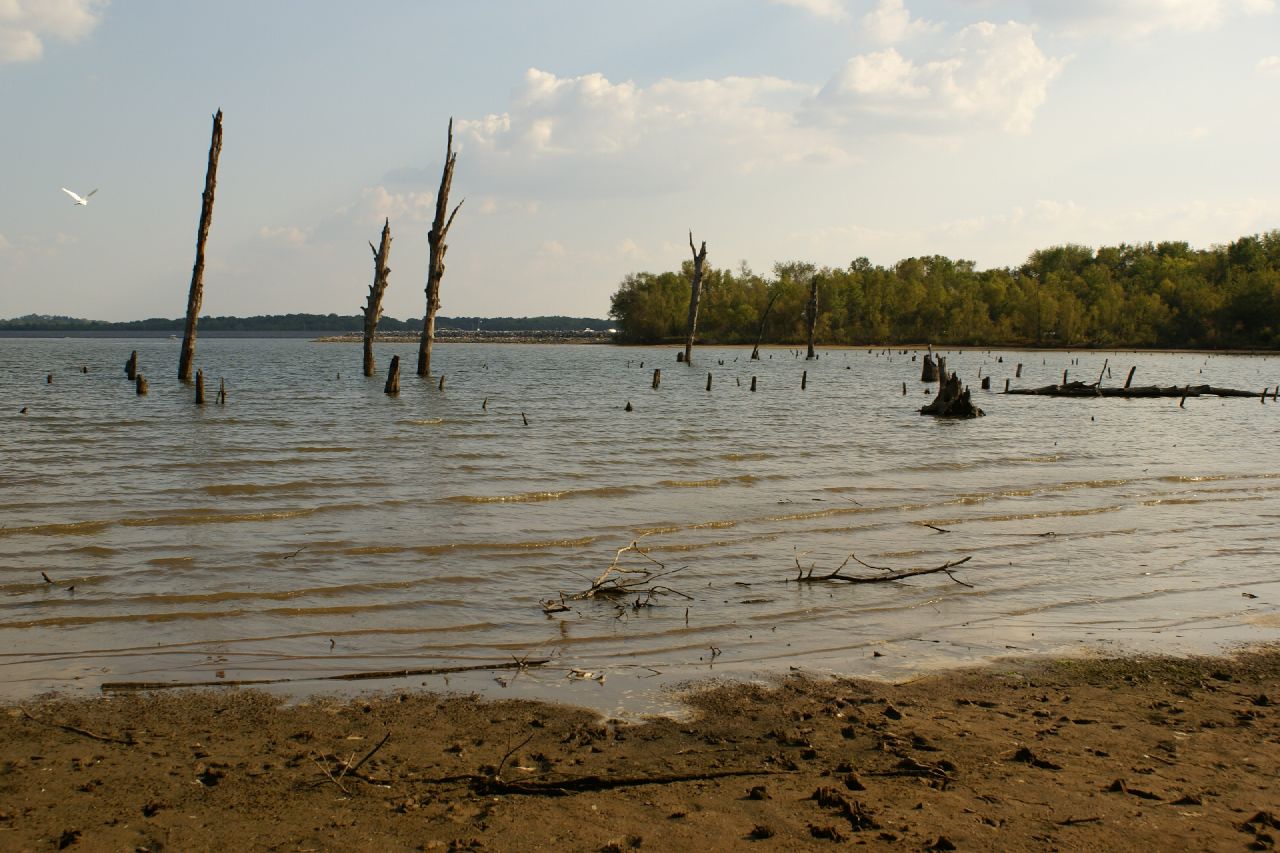
Rend Lake in Illinois

Rend Lake in Illinois

Floral Arangment

2015RendPlunge-WS470

First try

Blackberry Trail

Rend Lake

Blackberry Trail

The Woods

Blackberry Trail

2007-10-07-Benton_RendLake-36

2007-10-07-Benton_RendLake-46

2007-10-07-Benton_RendLake-1

2007-10-07-Benton_RendLake-78
2007-10-07-Benton_RendLake-48

2007-10-07-Benton_RendLake-45

2007-10-07-Benton_RendLake-14

2007-10-07-Benton_RendLake-61

2007-10-07-Benton_RendLake-15
Topographic Map of Co Hwy 11, Mulkeytown, IL, USA
Find elevation by address:

Places near Co Hwy 11, Mulkeytown, IL, USA:
7520 Yellow Banks Rd
Denning Township
Orient
Jackson St, Orient, IL, USA
10775 Co Hwy 26
IL-, West Frankfort, IL, USA
Six Mile Township
E Mine B Rd, Herrin, IL, USA
N Park Ave, Herrin, IL, USA
IL-, Royalton, IL, USA
Royalton
Herrin Precinct
301 N 20th St
Herrin
Travis Ct, Herrin, IL, USA
1500 W Maple St
604 Paul Ct
Blairsville Precinct
Bush
Elm Ave, De Soto, IL, USA
Recent Searches:
- Elevation of Elwyn Dr, Roanoke Rapids, NC, USA
- Elevation of Congressional Dr, Stevensville, MD, USA
- Elevation of Bellview Rd, McLean, VA, USA
- Elevation of Stage Island Rd, Chatham, MA, USA
- Elevation of Shibuya Scramble Crossing, 21 Udagawacho, Shibuya City, Tokyo -, Japan
- Elevation of Jadagoniai, Kaunas District Municipality, Lithuania
- Elevation of Pagonija rock, Kranto 7-oji g. 8"N, Kaunas, Lithuania
- Elevation of Co Rd 87, Jamestown, CO, USA
- Elevation of Tenjo, Cundinamarca, Colombia
- Elevation of Côte-des-Neiges, Montreal, QC H4A 3J6, Canada