Elevation of Royalton, IL, USA
Location: United States > Illinois > Franklin County > Six Mile Township >
Longitude: -89.114522
Latitude: 37.8769946
Elevation: 118m / 387feet
Barometric Pressure: 100KPa
Elevation Map:
Satellite Map:
Related Photos:

Star View Winery
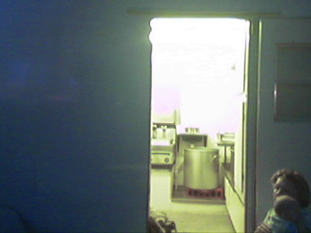
Room 101

War Memorial With A View

Leaner in the Light
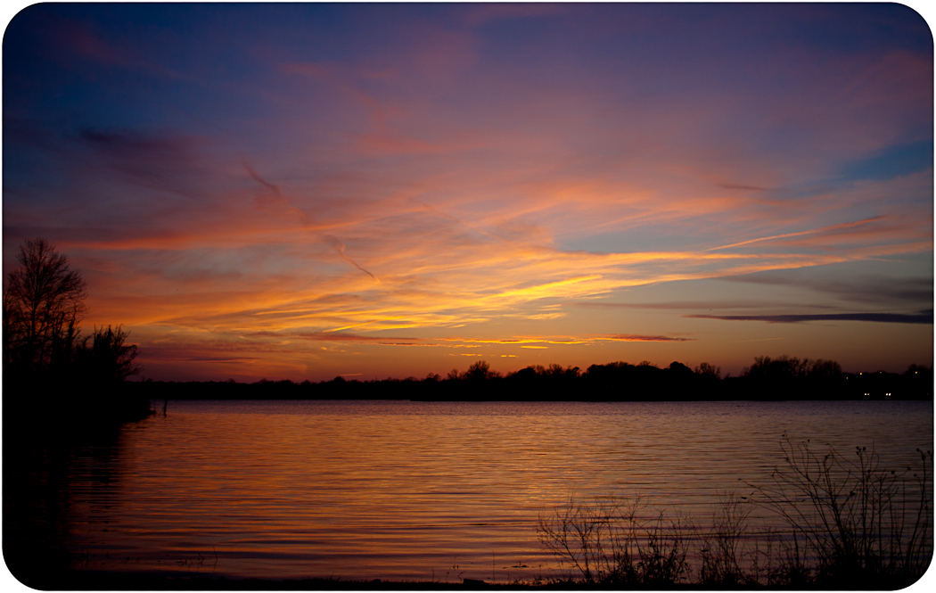
Crab Orchard Sunset So Il
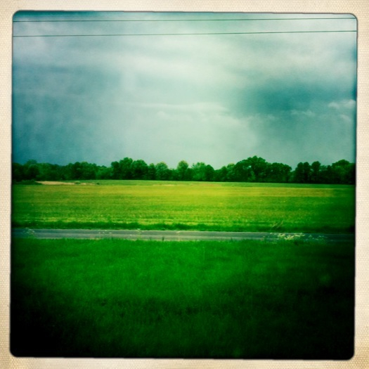
fields.
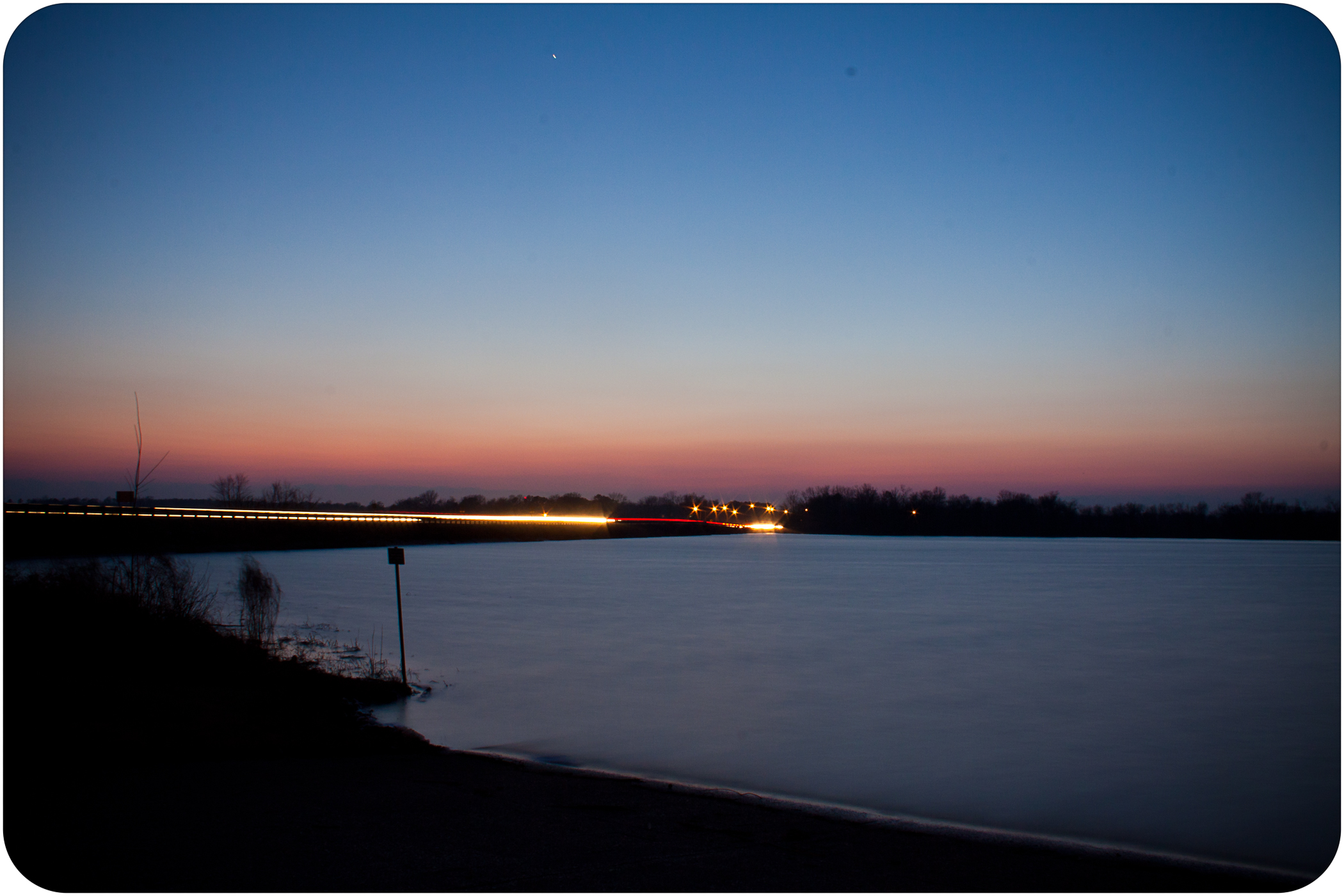
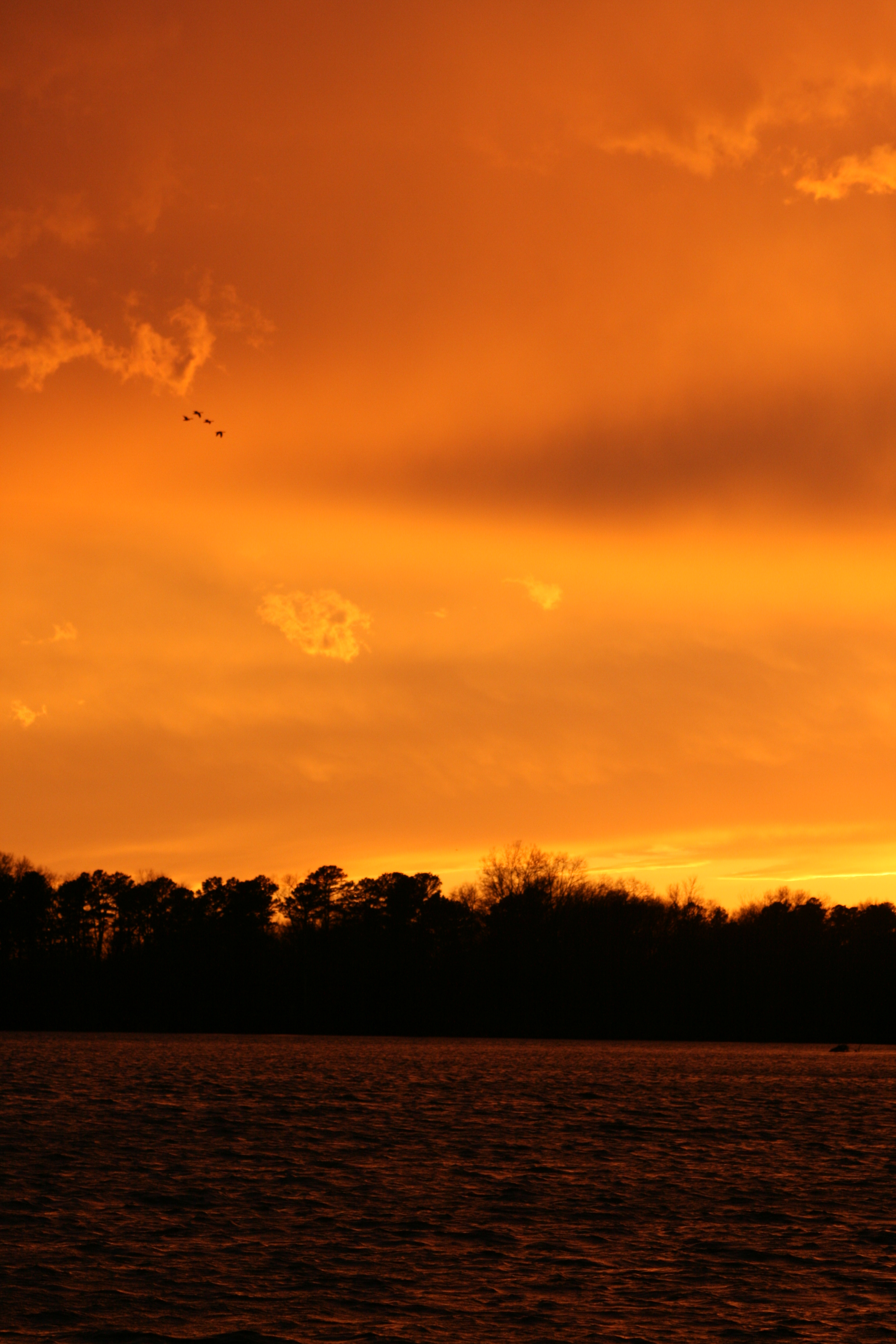
Crab Orchard Sunset So Il
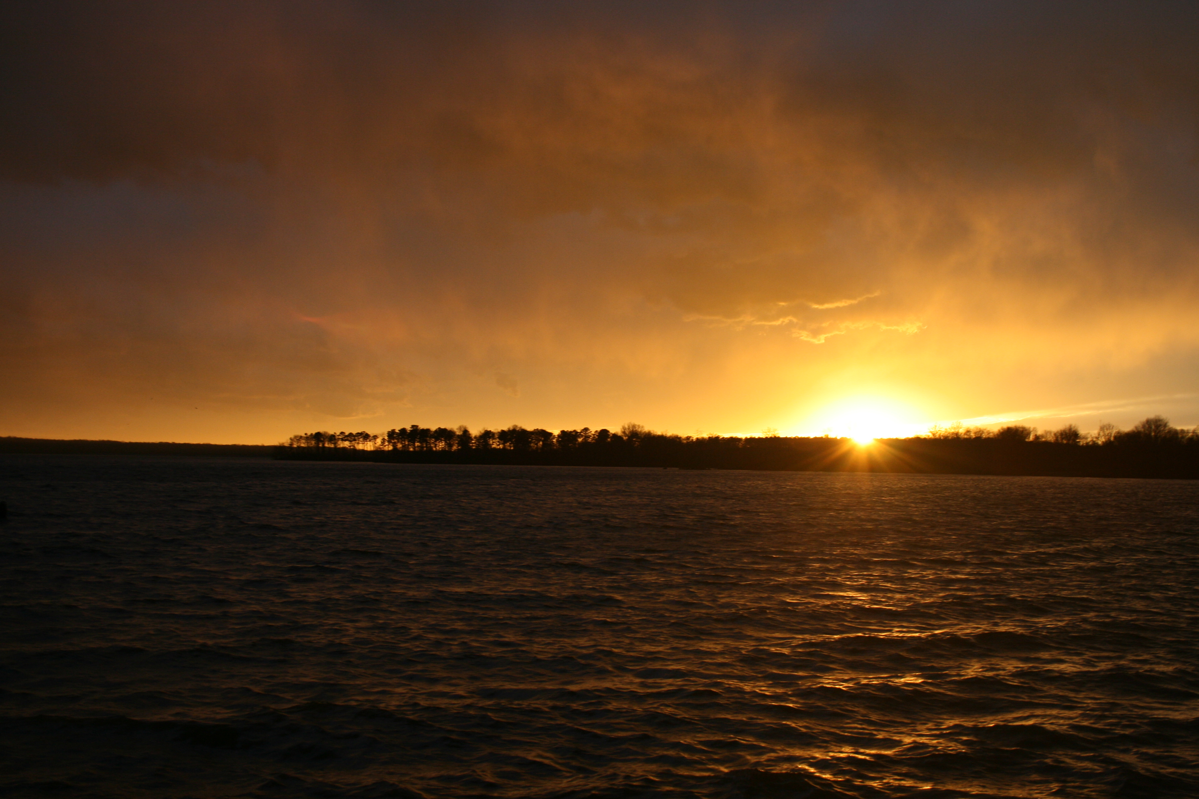
Crab Orchard Sunset So Il
01-02-08 247
01-02-08 163
First try
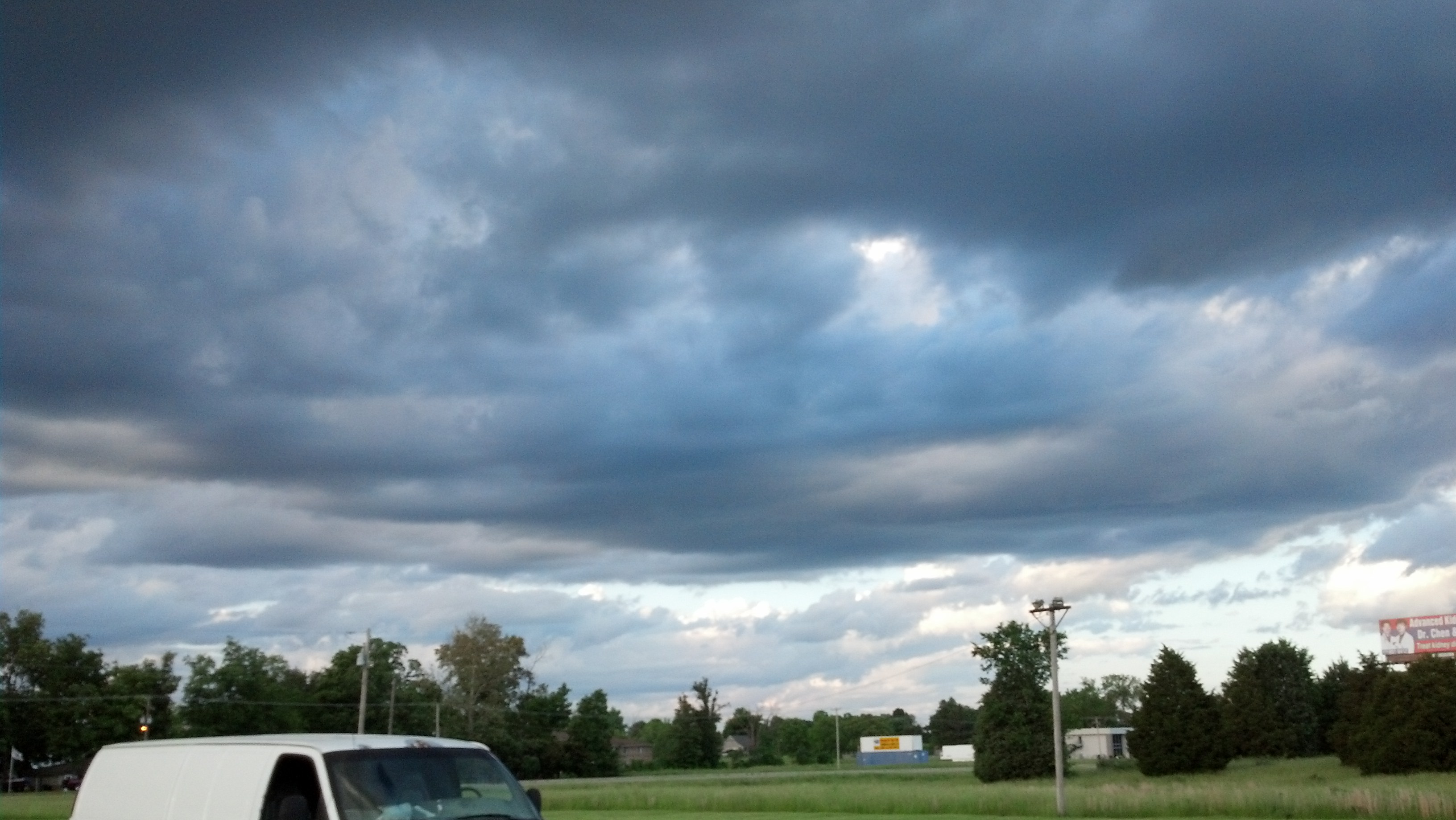
Storm clouds.
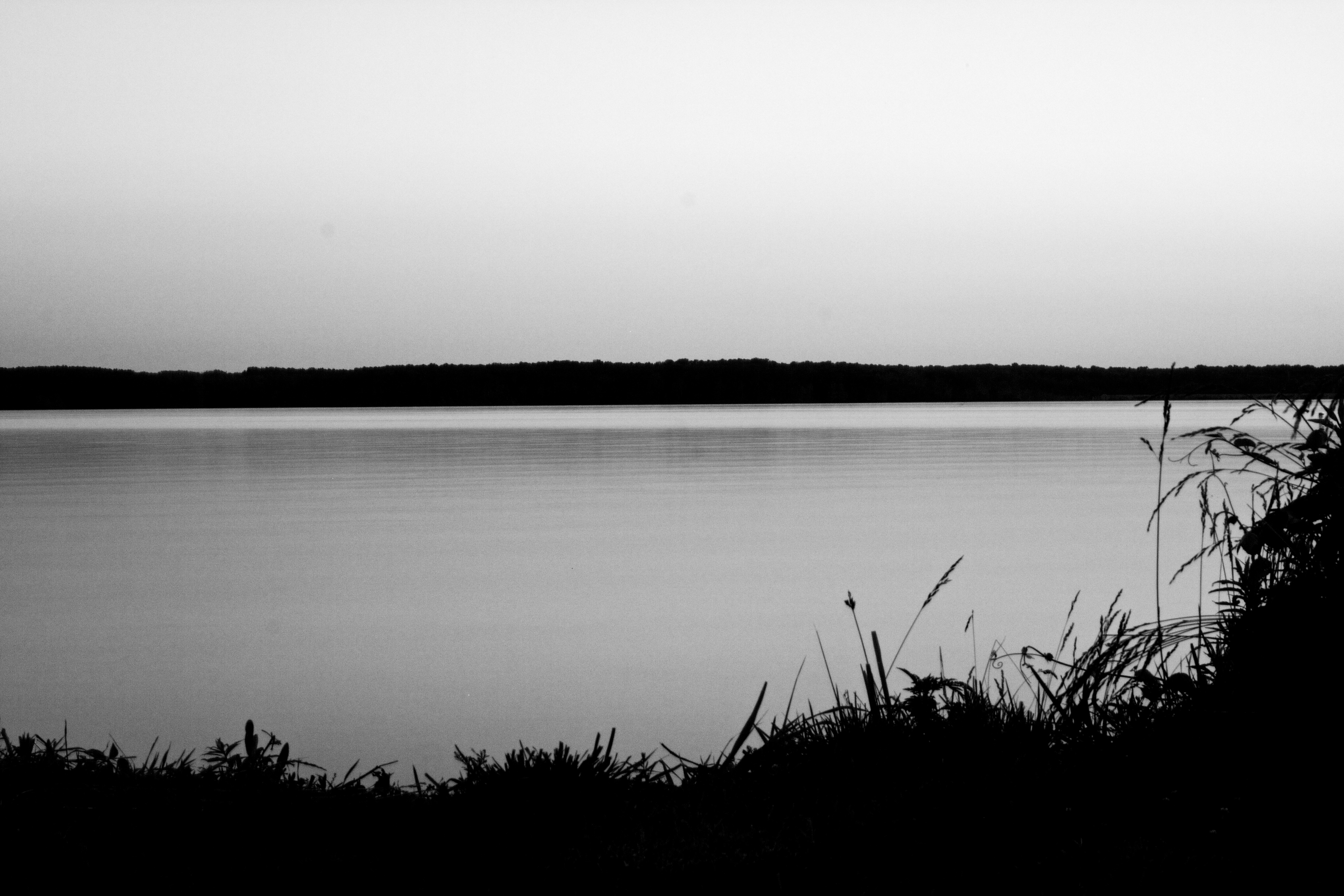
b+w crab orchard lake
Sunday hike

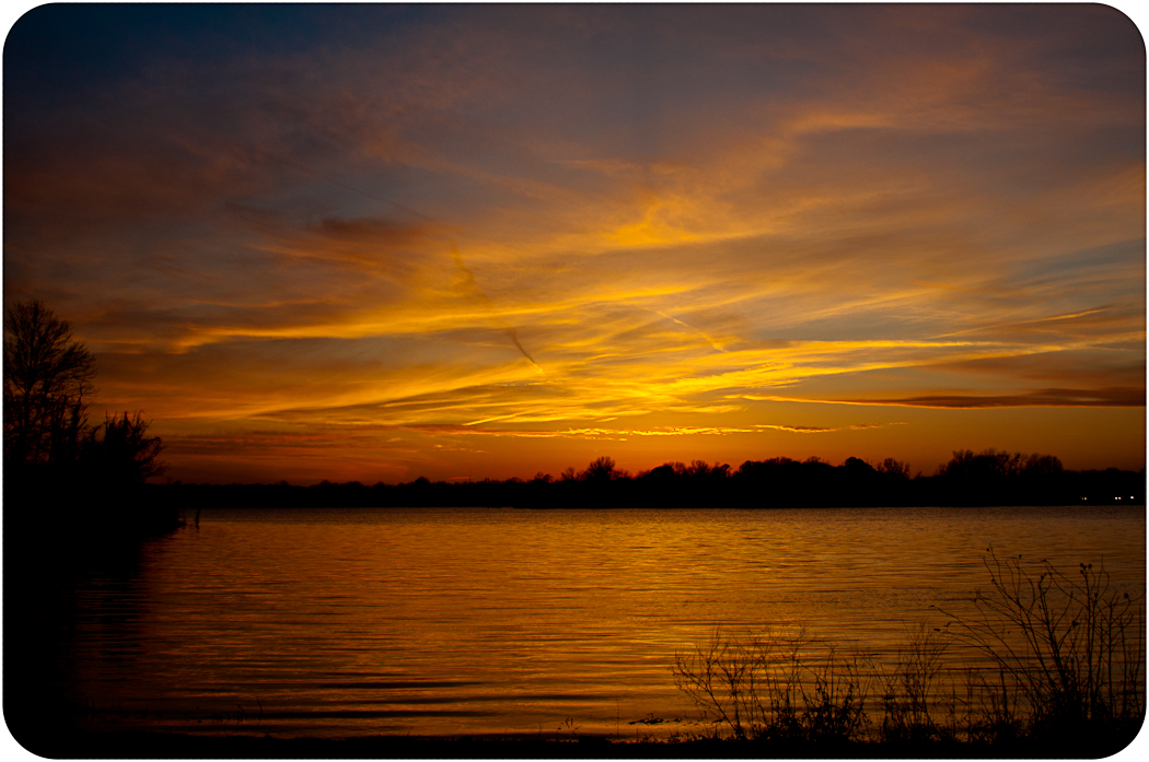
sunset at crab orchard lake
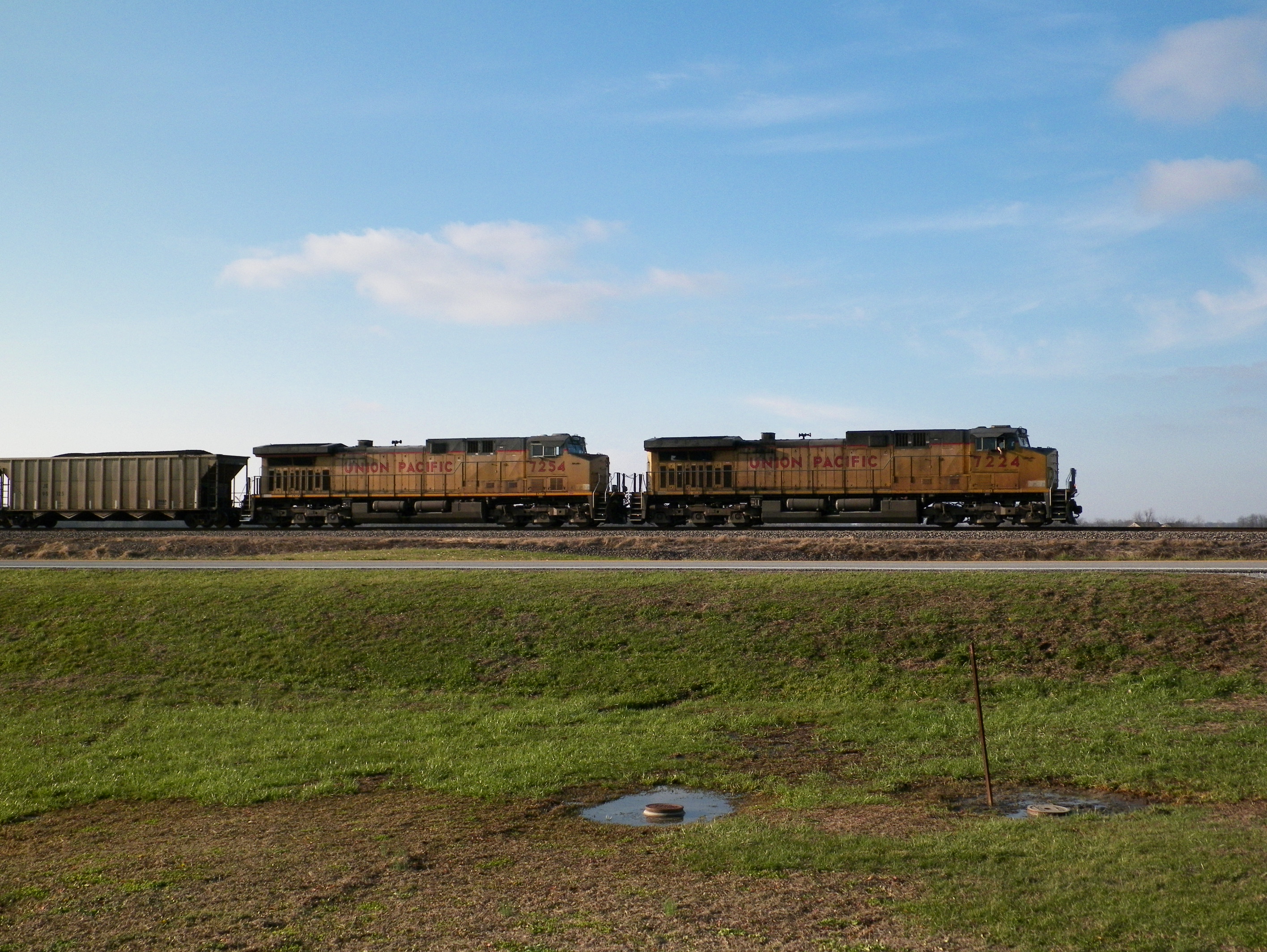
UP 7224
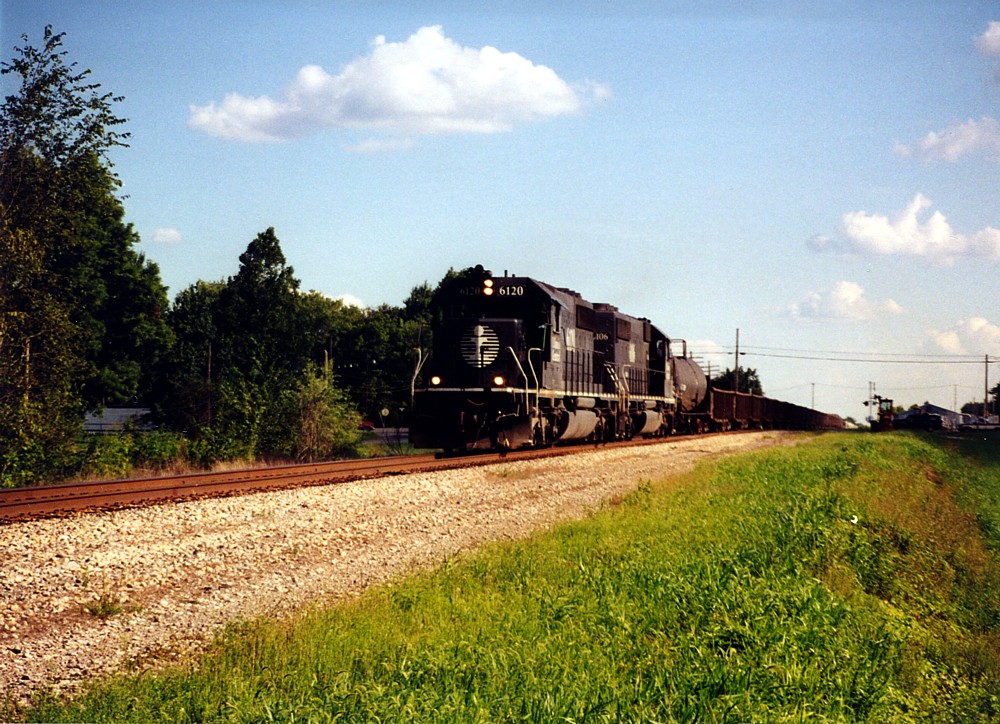
1997-8-23 - 5 - IC 6120 - Northbound - DeSoto, IL - Mary Rae McPherson photo
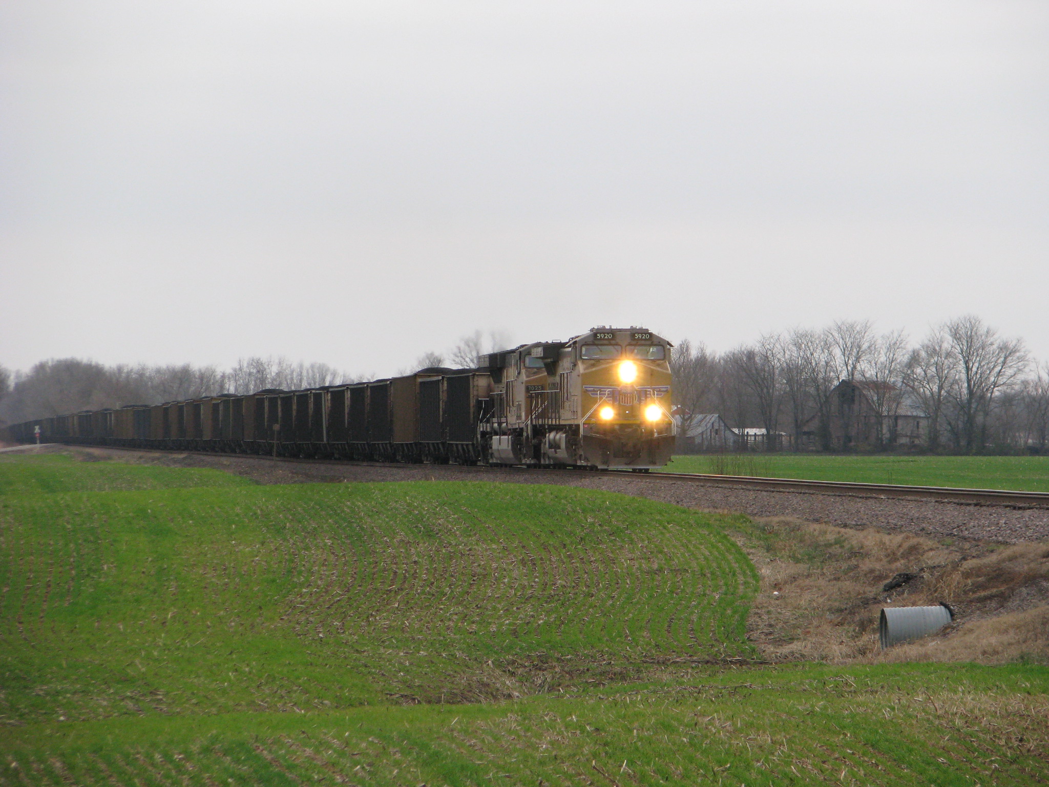
UP 5920
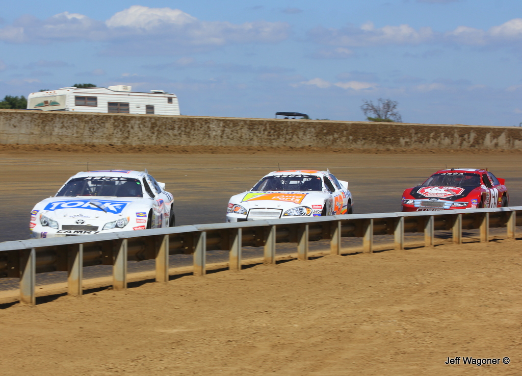
Battle for the Lead, 2013 Southern Illinois 100, Du Quoin State Fairgrounds, Du Quoin,IL 9/2/2013

Spring Storm

Horsies & Honeysuckle

Symmetry On Green

sunset with heron at crab orchard lake
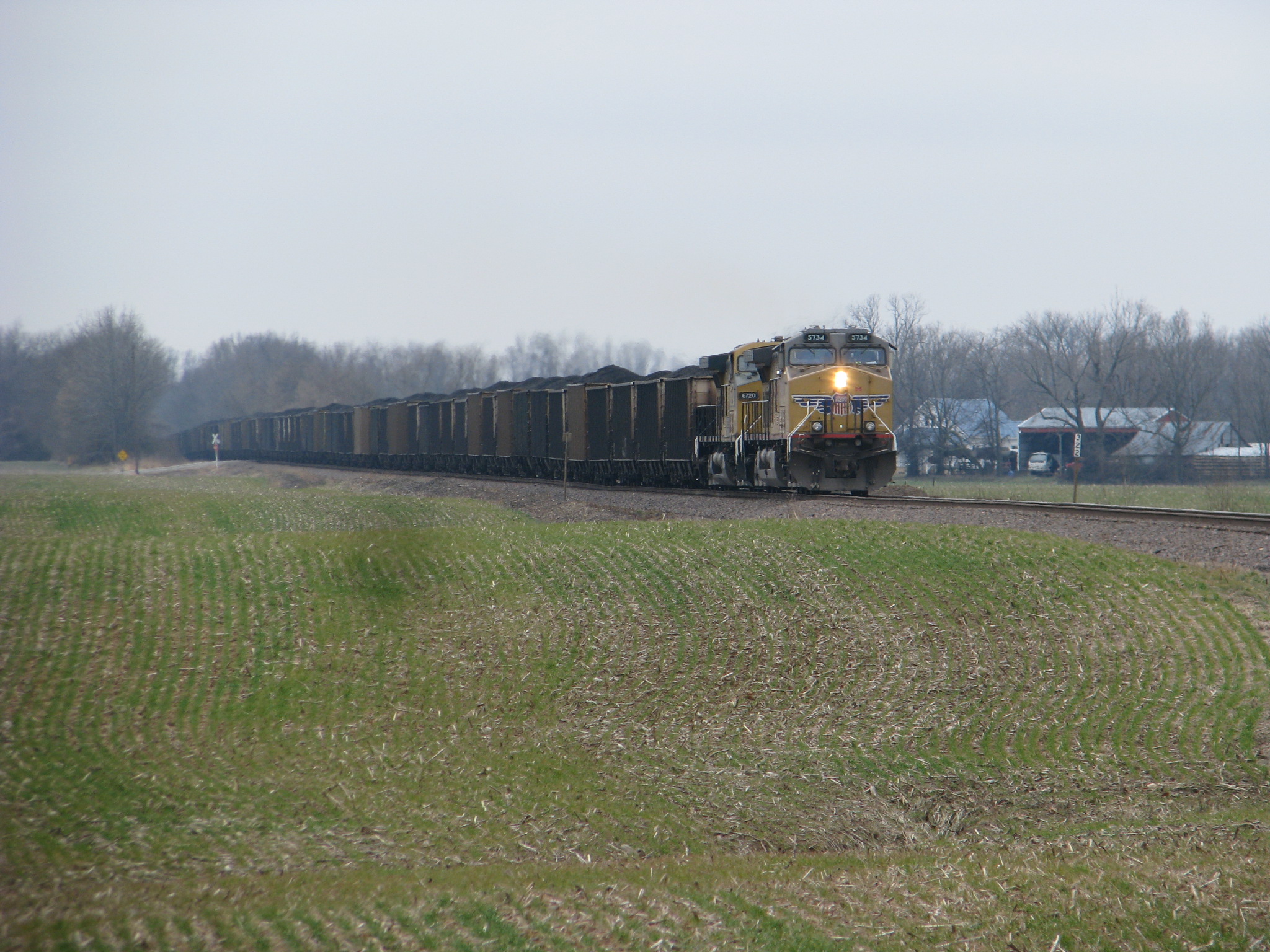
UP 5734

Sunset in a Small Town
Topographic Map of Royalton, IL, USA
Find elevation by address:

Places in Royalton, IL, USA:
Places near Royalton, IL, USA:
IL-, Royalton, IL, USA
Six Mile Township
Elm Ave, De Soto, IL, USA
Bush
Blairsville Precinct
Peach Tree St, Carterville, IL, USA
3rd St, Carterville, IL, USA
Colp
De Soto Township
N Park Ave, Herrin, IL, USA
1500 W Maple St
301 N 20th St
E Mine B Rd, Herrin, IL, USA
Herrin
Denning Township
IL-, West Frankfort, IL, USA
7500 Co Hwy 11
7520 Yellow Banks Rd
Herrin Precinct
De Soto
Recent Searches:
- Elevation of Hercules Dr, Colorado Springs, CO, USA
- Elevation of Szlak pieszy czarny, Poland
- Elevation of Griffing Blvd, Biscayne Park, FL, USA
- Elevation of Kreuzburger Weg 13, Düsseldorf, Germany
- Elevation of Gateway Blvd SE, Canton, OH, USA
- Elevation of East W.T. Harris Boulevard, E W.T. Harris Blvd, Charlotte, NC, USA
- Elevation of West Sugar Creek, Charlotte, NC, USA
- Elevation of Wayland, NY, USA
- Elevation of Steadfast Ct, Daphne, AL, USA
- Elevation of Lagasgasan, X+CQH, Tiaong, Quezon, Philippines