Elevation of Deering Rd, West Frankfort, IL, USA
Location: United States > Illinois >
Longitude: -88.891938
Latitude: 37.9162199
Elevation: 119m / 390feet
Barometric Pressure: 100KPa
Elevation Map:
Satellite Map:
Related Photos:

Illinois Central Depot? Benton, IL
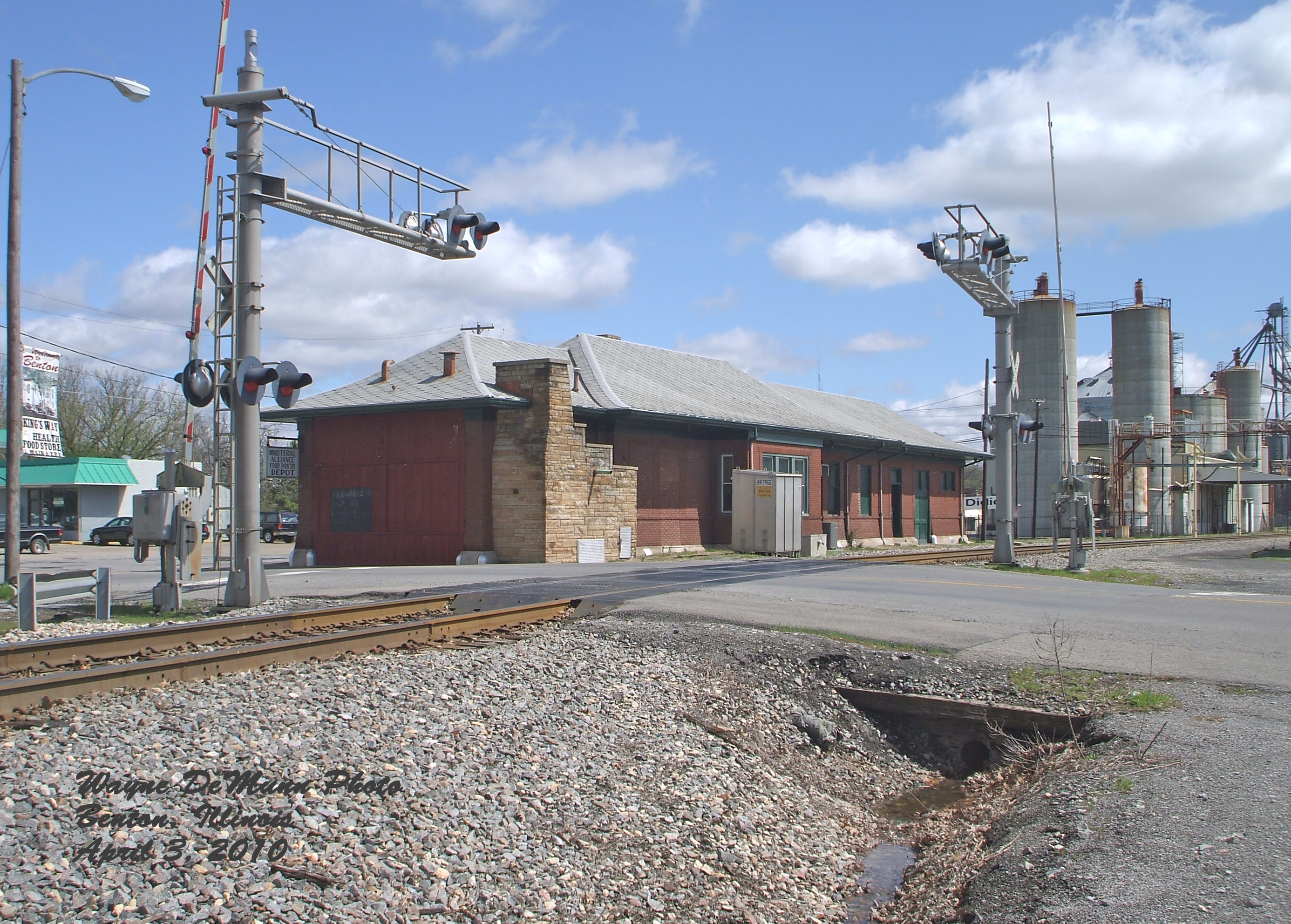
Benton Station

Star View Winery

Franklin County Courthouse, Benton, IL
2007-10-07-Benton_RendLake-48

Eastern Cottontail
2007-10-07-Benton_RendLake-61
2007-10-07-Benton_RendLake-78

Sunset in a Small Town

2007-10-07-Benton_RendLake-14
2007-10-07-Benton_RendLake-46

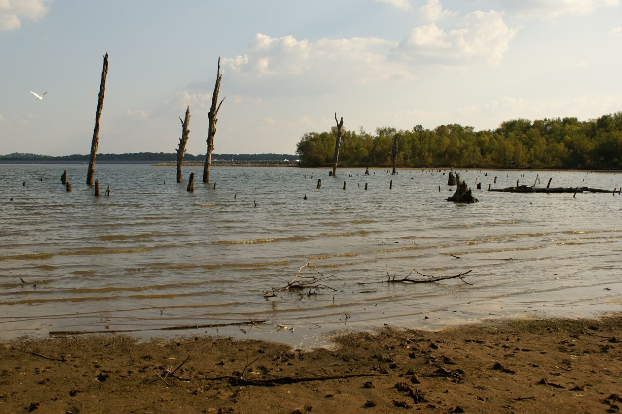
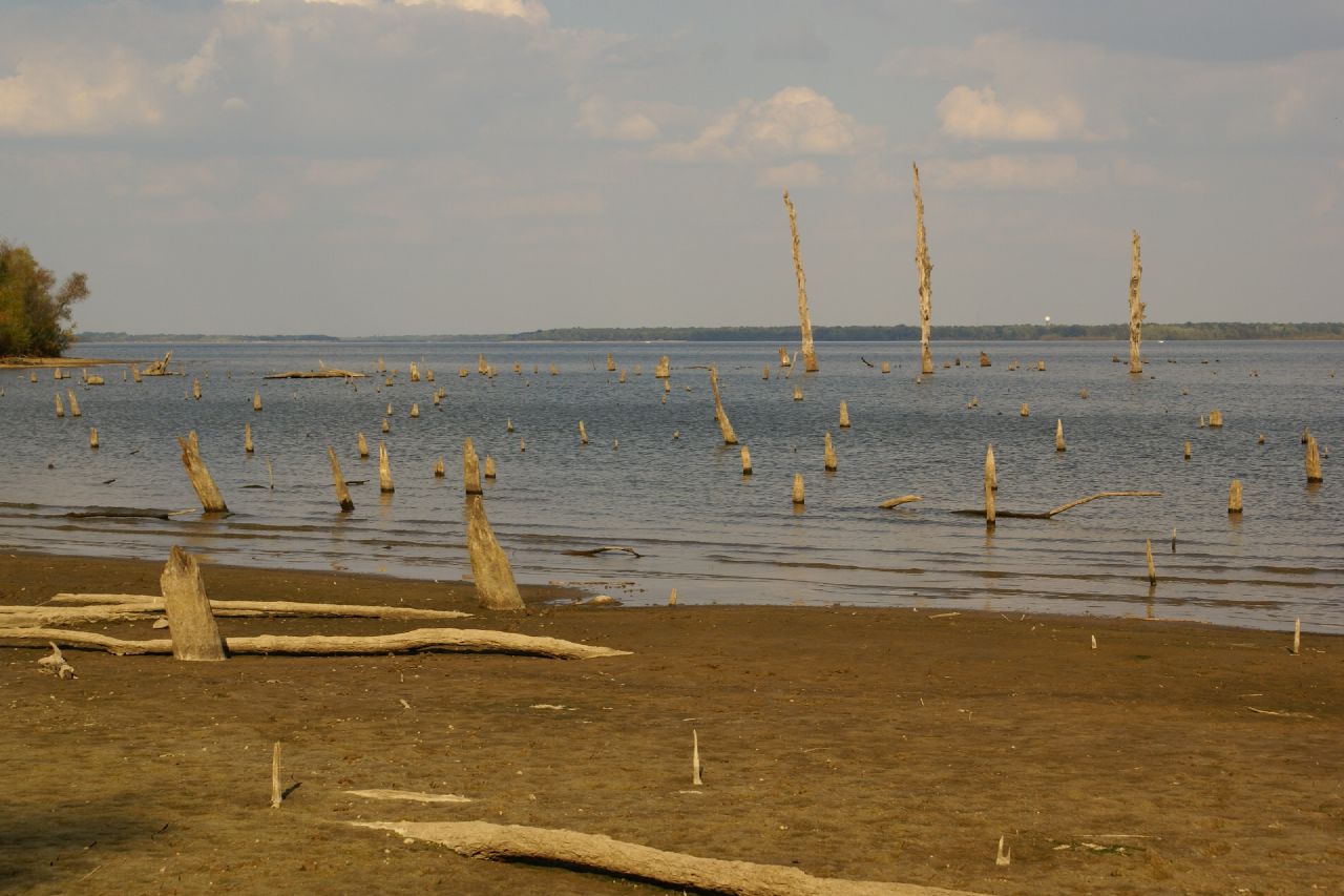
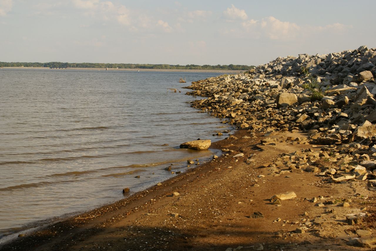
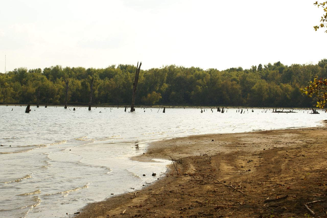
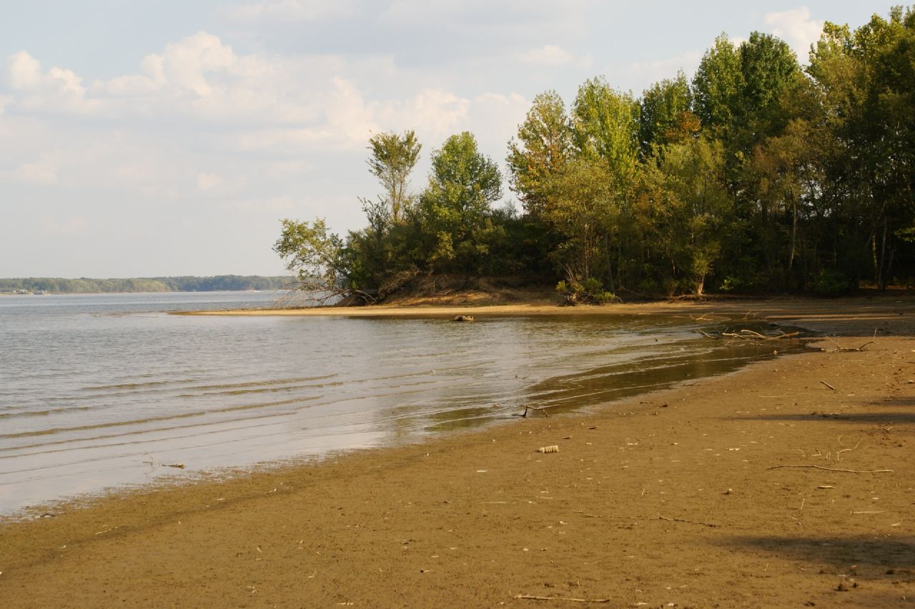
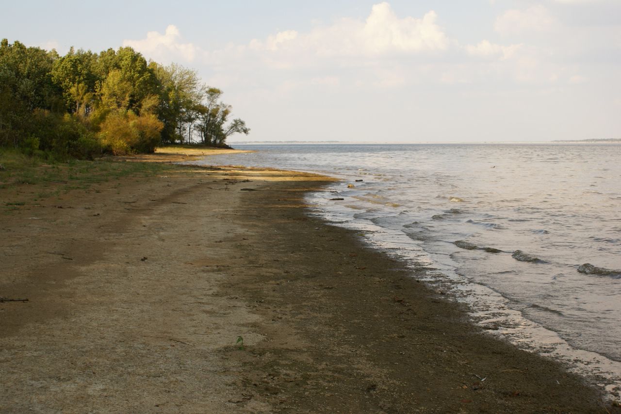
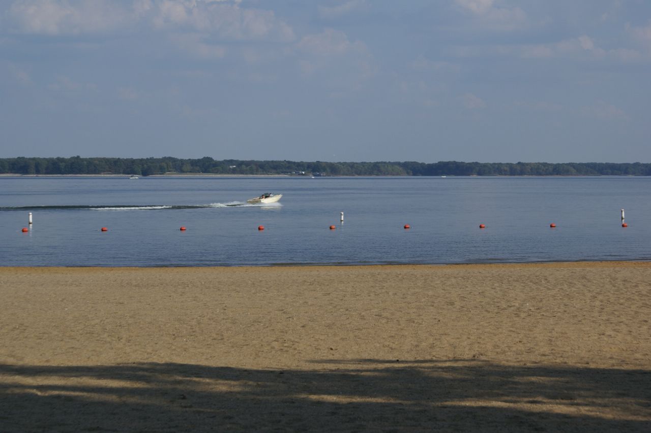
Rend Lake

Crowd at Sunset
2007-10-07-Benton_RendLake-36
2007-10-07-Benton_RendLake-45

Moon Twlight
2007-10-07-Benton_RendLake-1
2007-10-07-Benton_RendLake-15
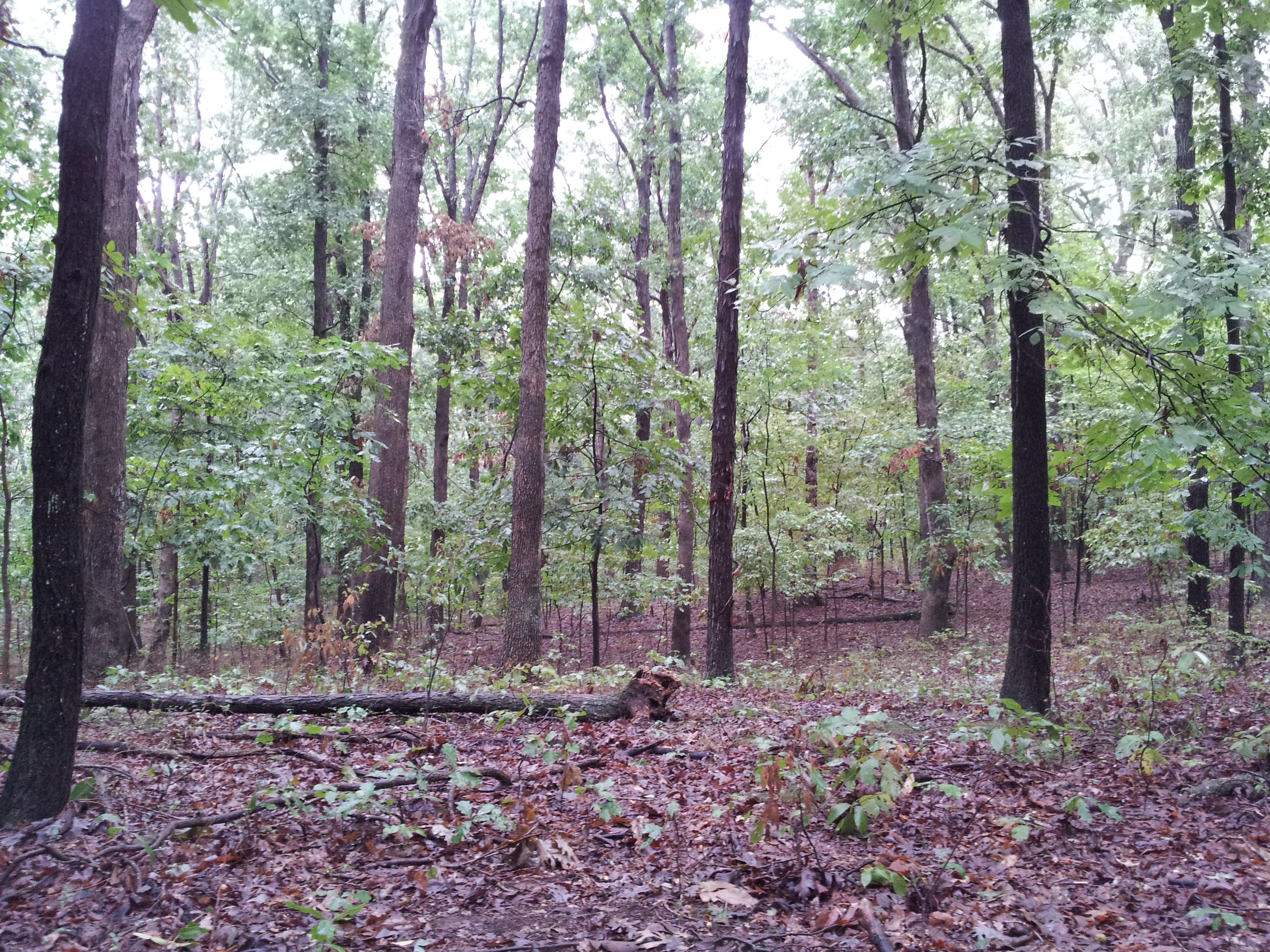
The Woods

Spring Storm

Horsies & Honeysuckle
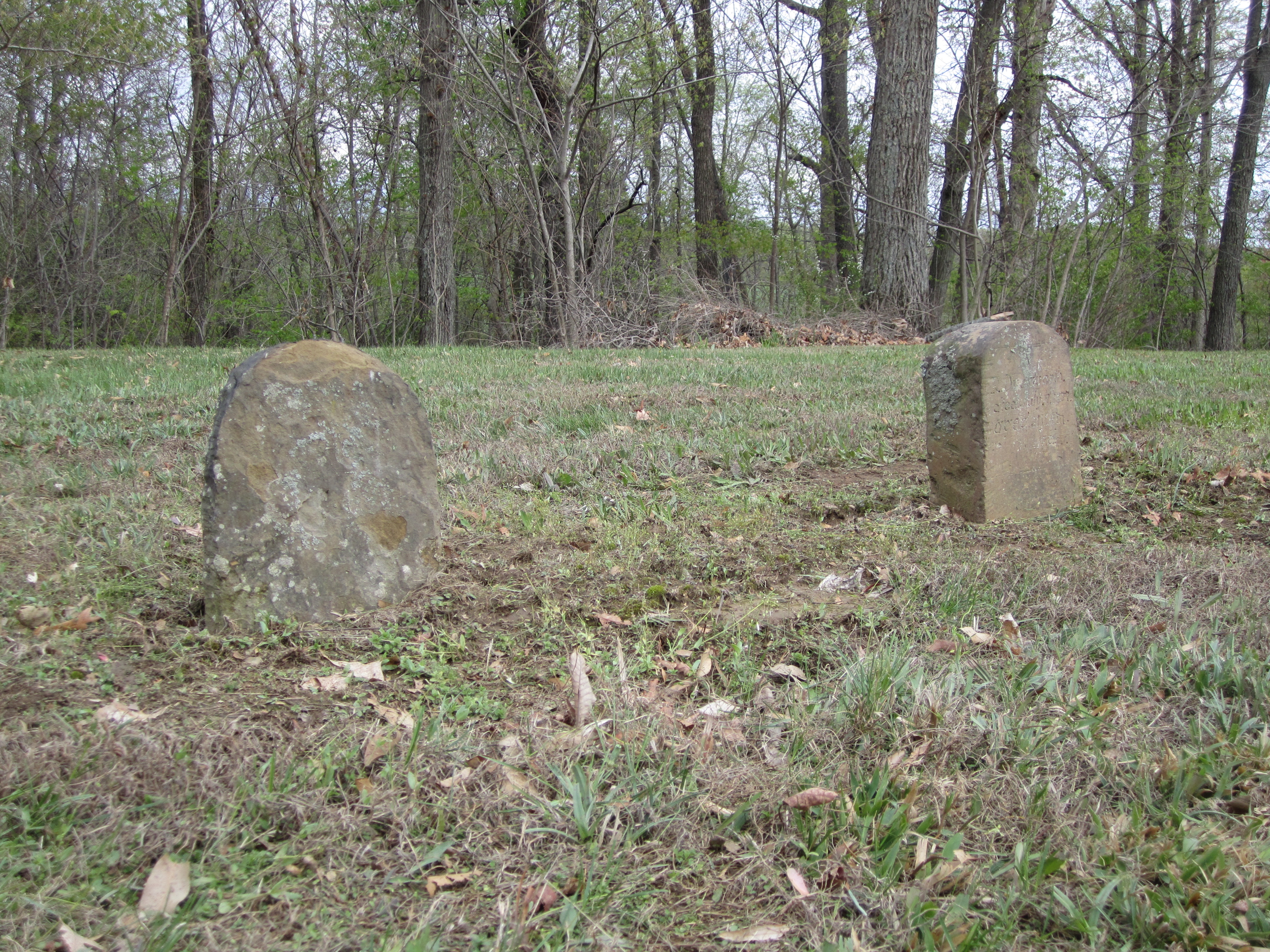
Knob Prairie Cemetery
Topographic Map of Deering Rd, West Frankfort, IL, USA
Find elevation by address:

Places near Deering Rd, West Frankfort, IL, USA:
1106 E Lindell St
West Frankfort
W Main St, West Frankfort, IL, USA
6498 Union St
10775 Co Hwy 26
Logan
Jackson St, Orient, IL, USA
Orient
Lake Creek Precinct
401 W 12th St
Johnston City
Washington Ave, Johnston City, IL, USA
IL-, West Frankfort, IL, USA
4378 Hannegan Rd
Denning Township
Cave Township
13818 Fowler School Rd
7520 Yellow Banks Rd
7500 Co Hwy 11
Main St, Thompsonville, IL, USA
Recent Searches:
- Elevation of Corso Fratelli Cairoli, 35, Macerata MC, Italy
- Elevation of Tallevast Rd, Sarasota, FL, USA
- Elevation of 4th St E, Sonoma, CA, USA
- Elevation of Black Hollow Rd, Pennsdale, PA, USA
- Elevation of Oakland Ave, Williamsport, PA, USA
- Elevation of Pedrógão Grande, Portugal
- Elevation of Klee Dr, Martinsburg, WV, USA
- Elevation of Via Roma, Pieranica CR, Italy
- Elevation of Tavkvetili Mountain, Georgia
- Elevation of Hartfords Bluff Cir, Mt Pleasant, SC, USA