Elevation of W Main St, Colfax, IL, USA
Location: United States > Illinois > Mclean County > Martin Township > Colfax >
Longitude: -88.616286
Latitude: 40.5668197
Elevation: 230m / 755feet
Barometric Pressure: 99KPa
Elevation Map:
Satellite Map:
Related Photos:

Fan lightning 4
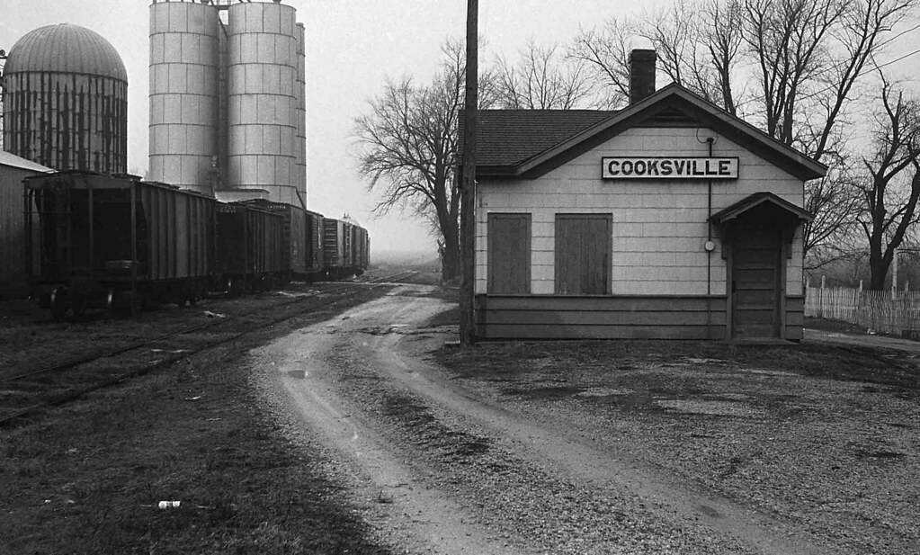
Illinois Central Depot, Cooksville, Illinois
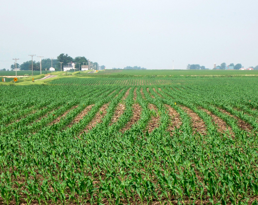
corn in Livingston County

Wildflowers on the Road to Gibson CIty
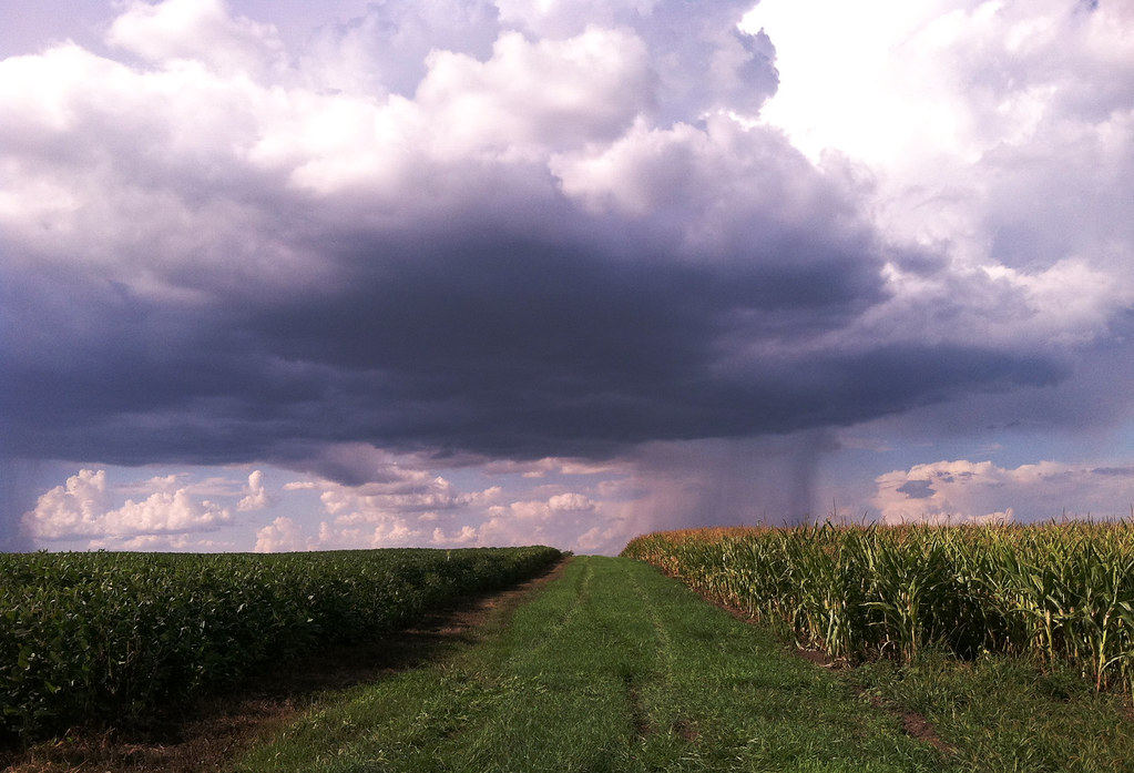
summer showers

Wildflowers on the Road to Gibson CIty 2

Illinois Wind Farm

green field

Deep into Cloud

Illinois Wind Farm
Topographic Map of W Main St, Colfax, IL, USA
Find elevation by address:

Places near W Main St, Colfax, IL, USA:
Colfax
Martin Township
Cooksville
N Main St, Arrowsmith, IL, USA
Arrowsmith
Blue Mound Township
Arrowsmith Township
Dawson Township
N East Rd, Cooksville, IL, USA
Merna
County Rd E, Merna, IL, USA
25 Rr 1, Downs, IL, USA
Towanda Township
Mclean County
Oldtown Township
Towanda
General Electric Rd, Bloomington, IL, USA
1500 Airport Rd
3024 E Empire St
2908 E College Ave
Recent Searches:
- Elevation of Congressional Dr, Stevensville, MD, USA
- Elevation of Bellview Rd, McLean, VA, USA
- Elevation of Stage Island Rd, Chatham, MA, USA
- Elevation of Shibuya Scramble Crossing, 21 Udagawacho, Shibuya City, Tokyo -, Japan
- Elevation of Jadagoniai, Kaunas District Municipality, Lithuania
- Elevation of Pagonija rock, Kranto 7-oji g. 8"N, Kaunas, Lithuania
- Elevation of Co Rd 87, Jamestown, CO, USA
- Elevation of Tenjo, Cundinamarca, Colombia
- Elevation of Côte-des-Neiges, Montreal, QC H4A 3J6, Canada
- Elevation of Bobcat Dr, Helena, MT, USA