Elevation of Cooksville, IL, USA
Location: United States > Illinois > Mclean County > Blue Mound Township >
Longitude: -88.716454
Latitude: 40.5430902
Elevation: 237m / 778feet
Barometric Pressure: 99KPa
Elevation Map:
Satellite Map:
Related Photos:

Fan lightning 4

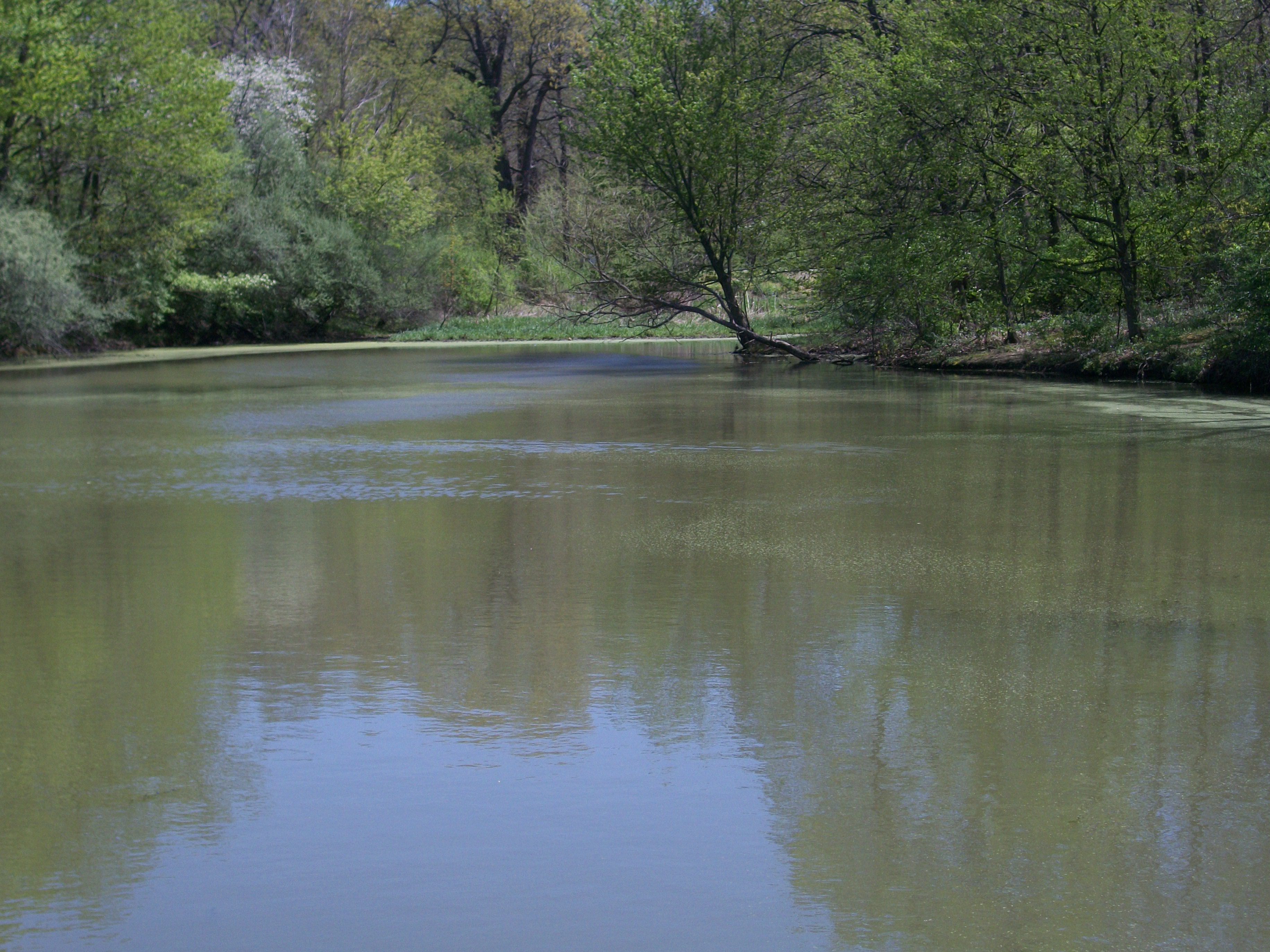
Dawson Lake at Twilight

Moraine View State Park
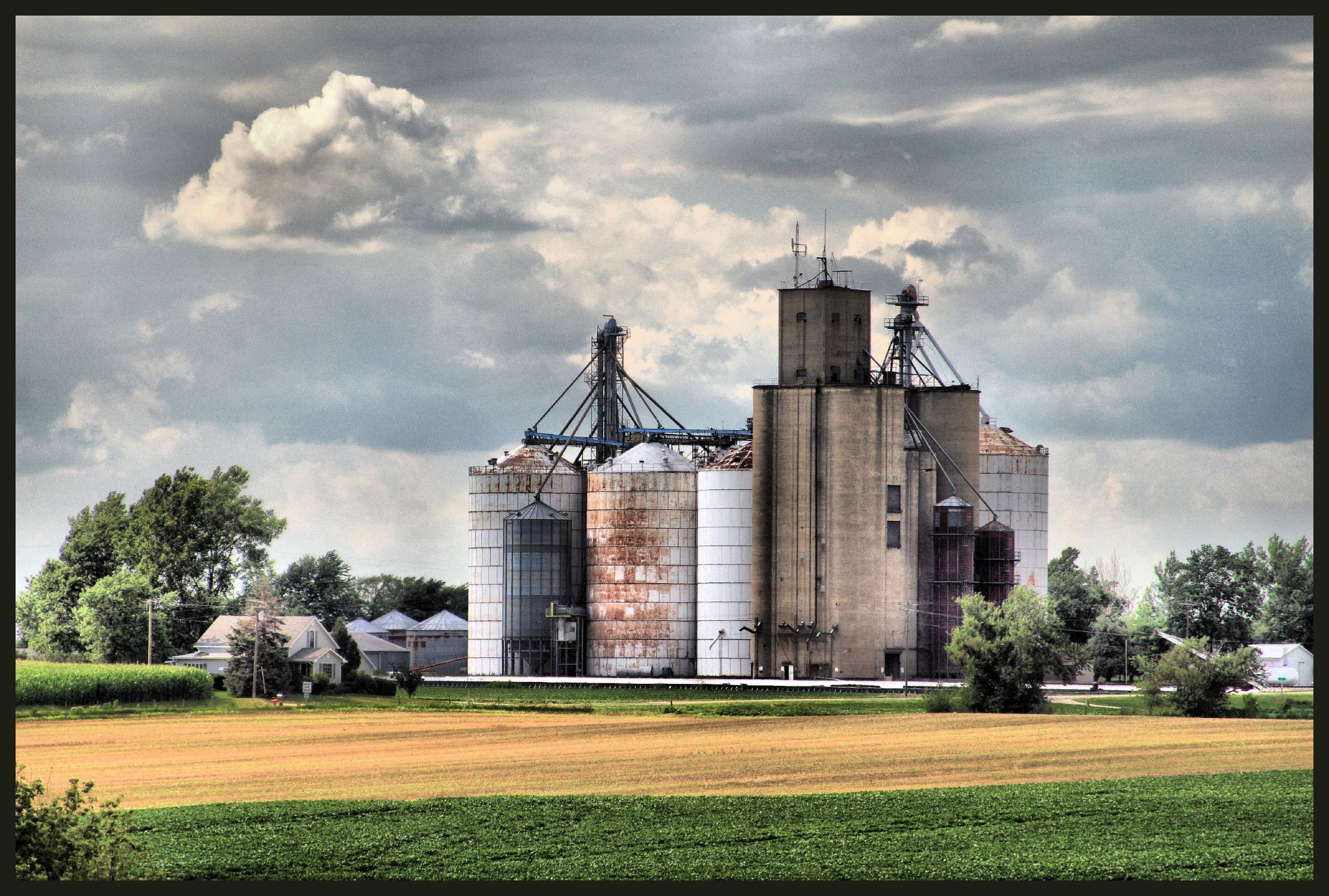
Holder Grain Elevator

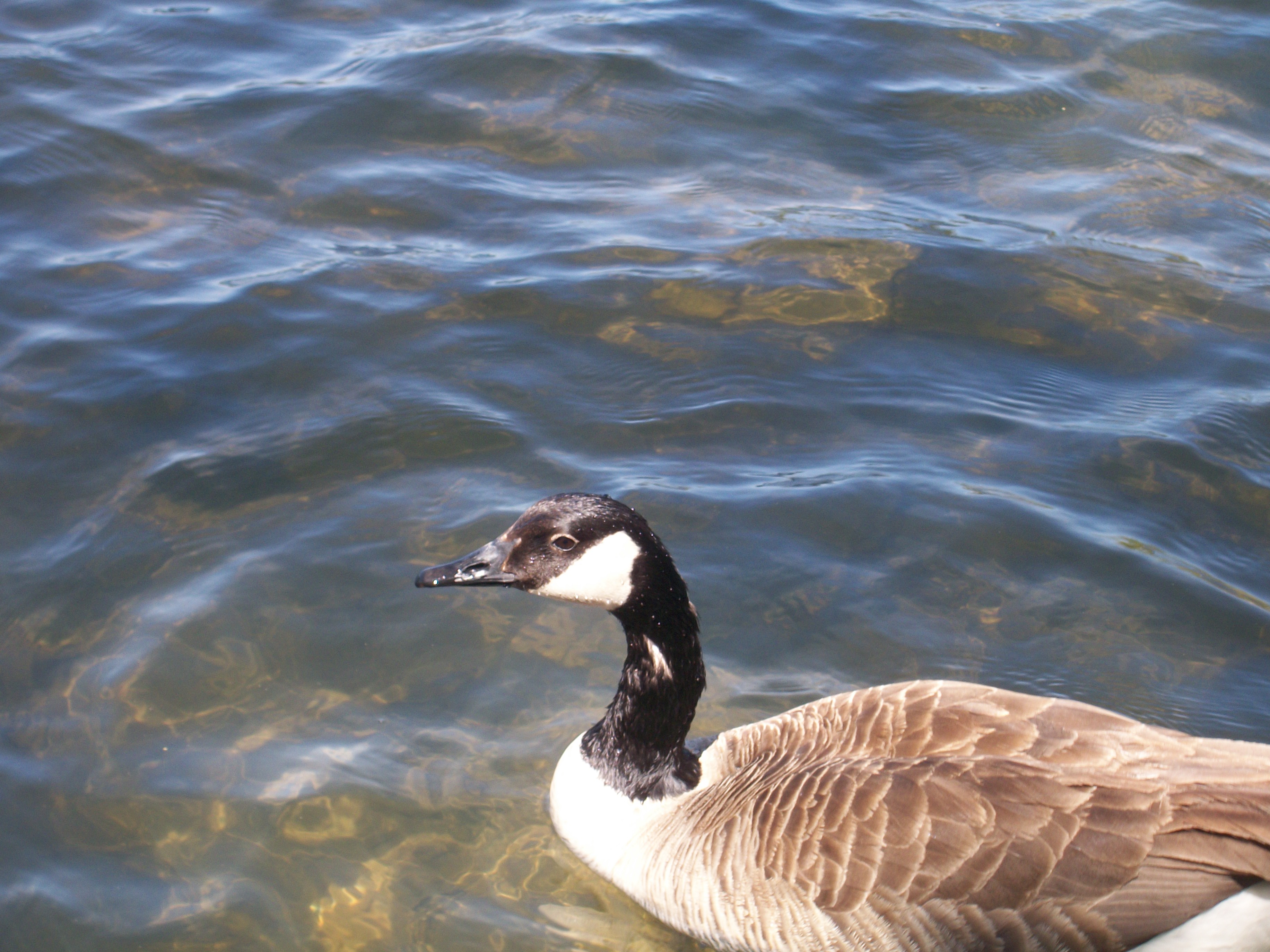
Lone Fisherman
Moraine View State Park

Moraine View State Park

Moraine View State Park

Moraine View State Park

Moraine View State Park

Moraine View State Park

Moraine View State Park

Moraine View State Park
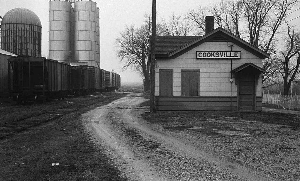
Illinois Central Depot, Cooksville, Illinois

panarama35 - Parklands Foundation

Moraine View State Park

Moraine View State Park

Moraine View State Park

Moraine View State Park

Moraine View State Park

Moraine View State Park
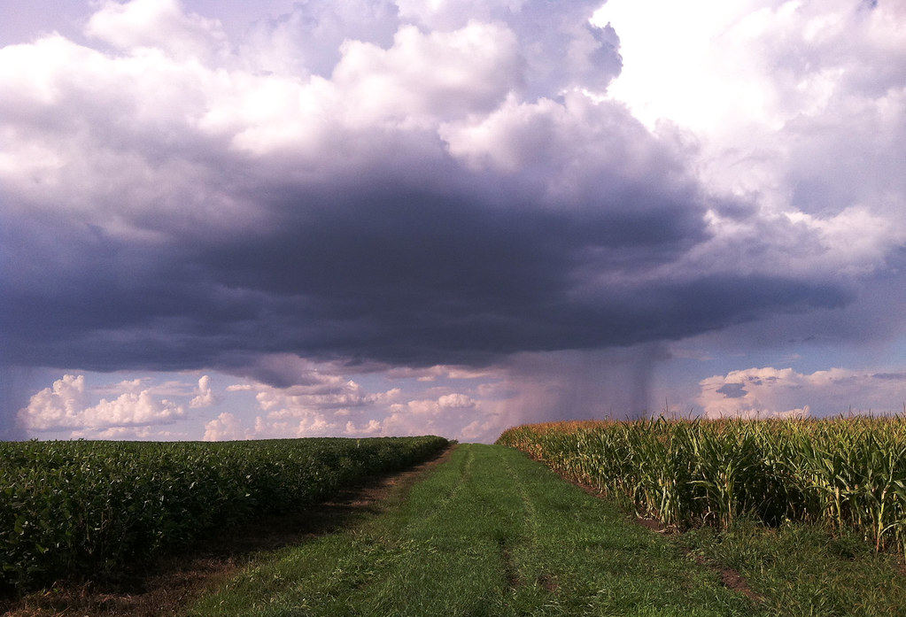
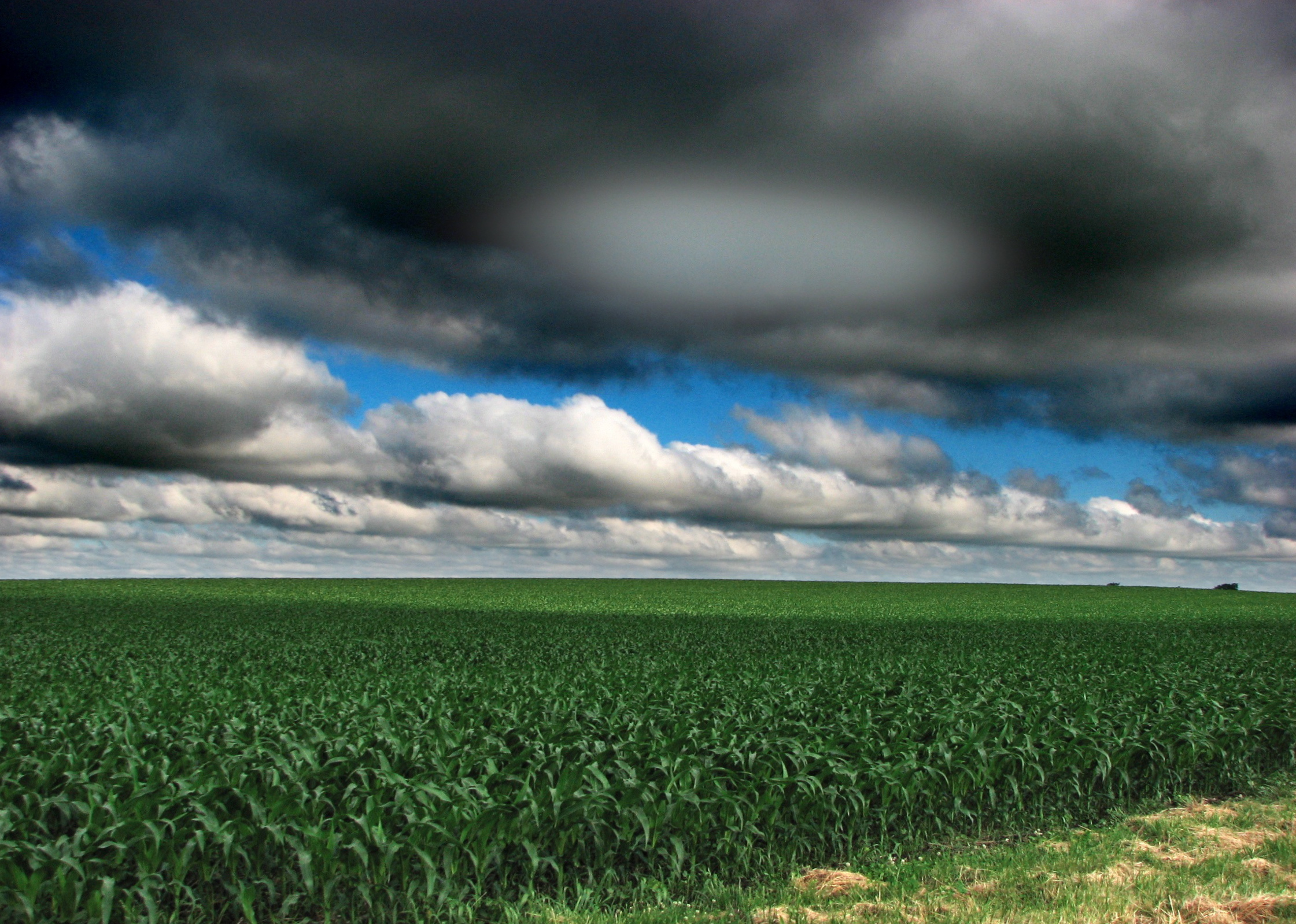
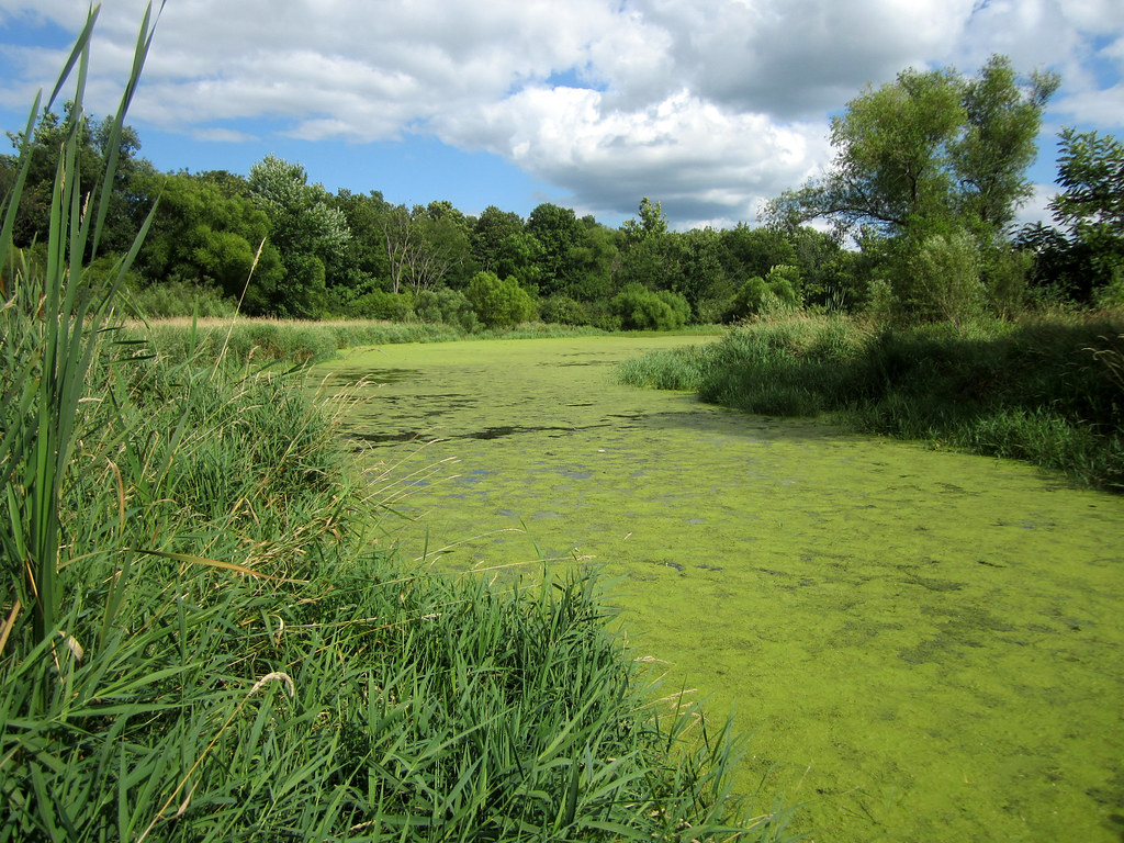
summer showers
Eastern Mclean County
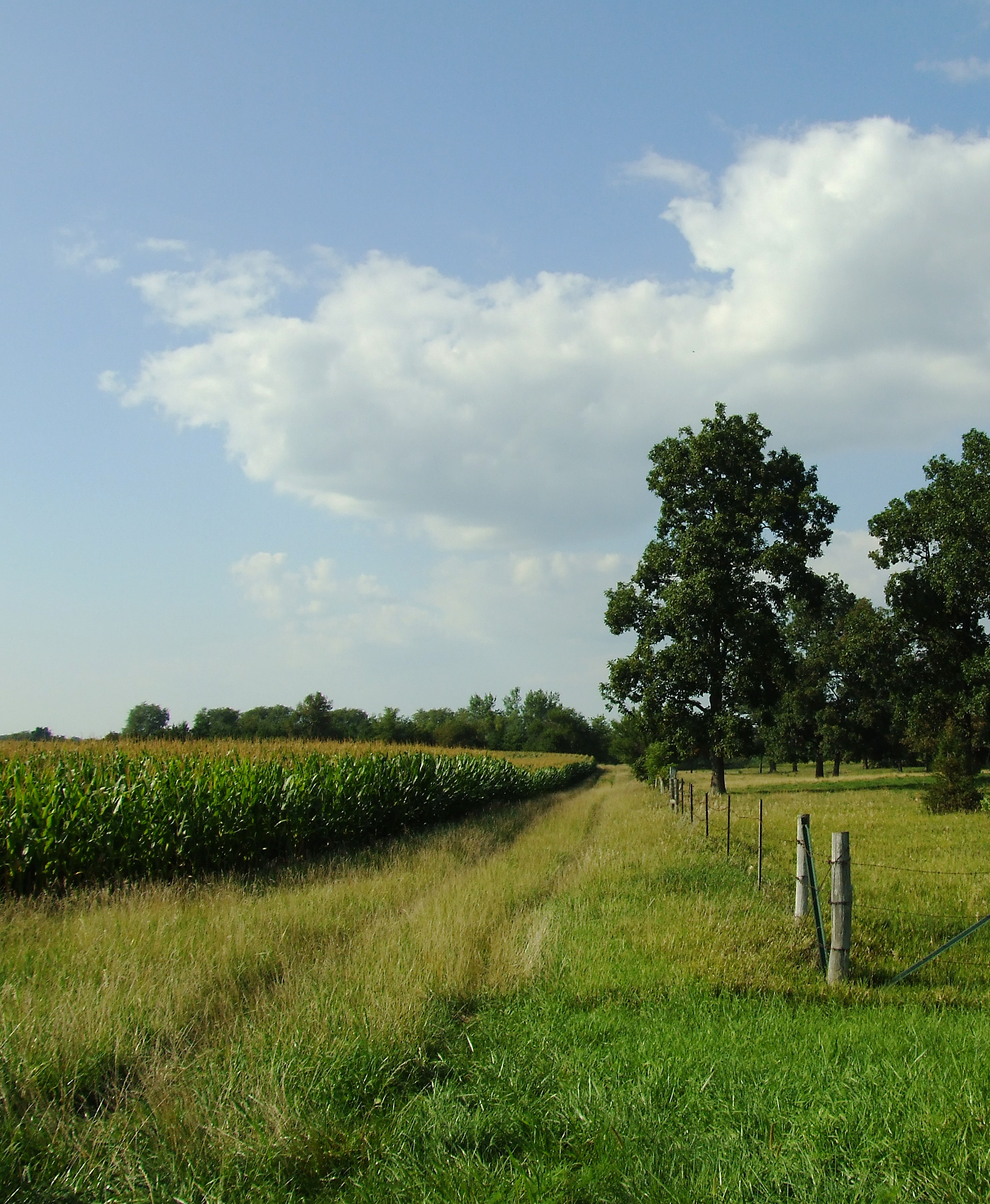
Illinois landscape
Moraine View State Park
Day 148 - the corn is growing
2010-04-27 19.44.47

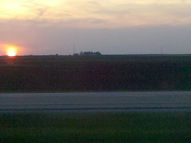
Silhouettes at Sunset
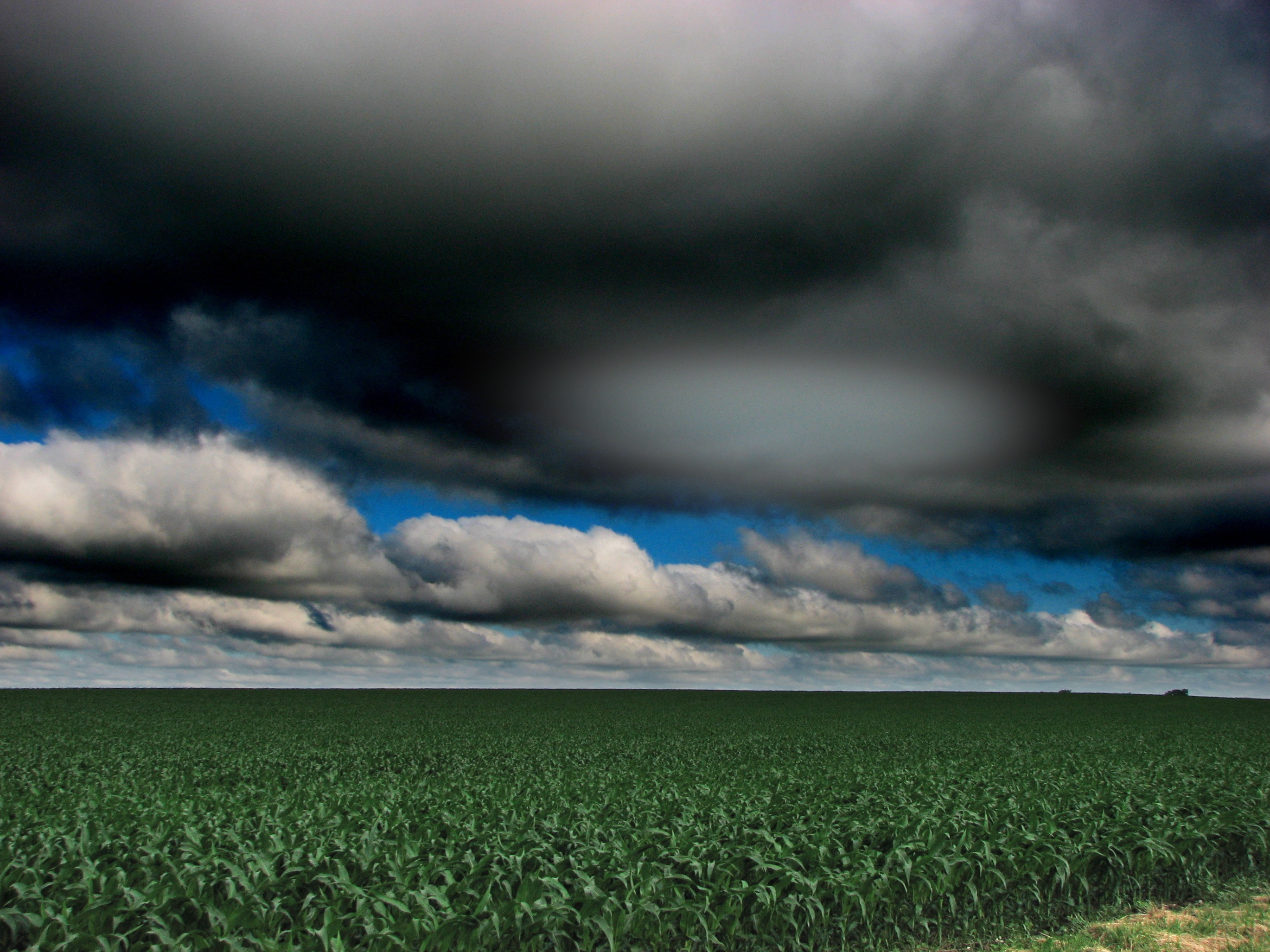
Illinois landscape

Route 66, Towanda
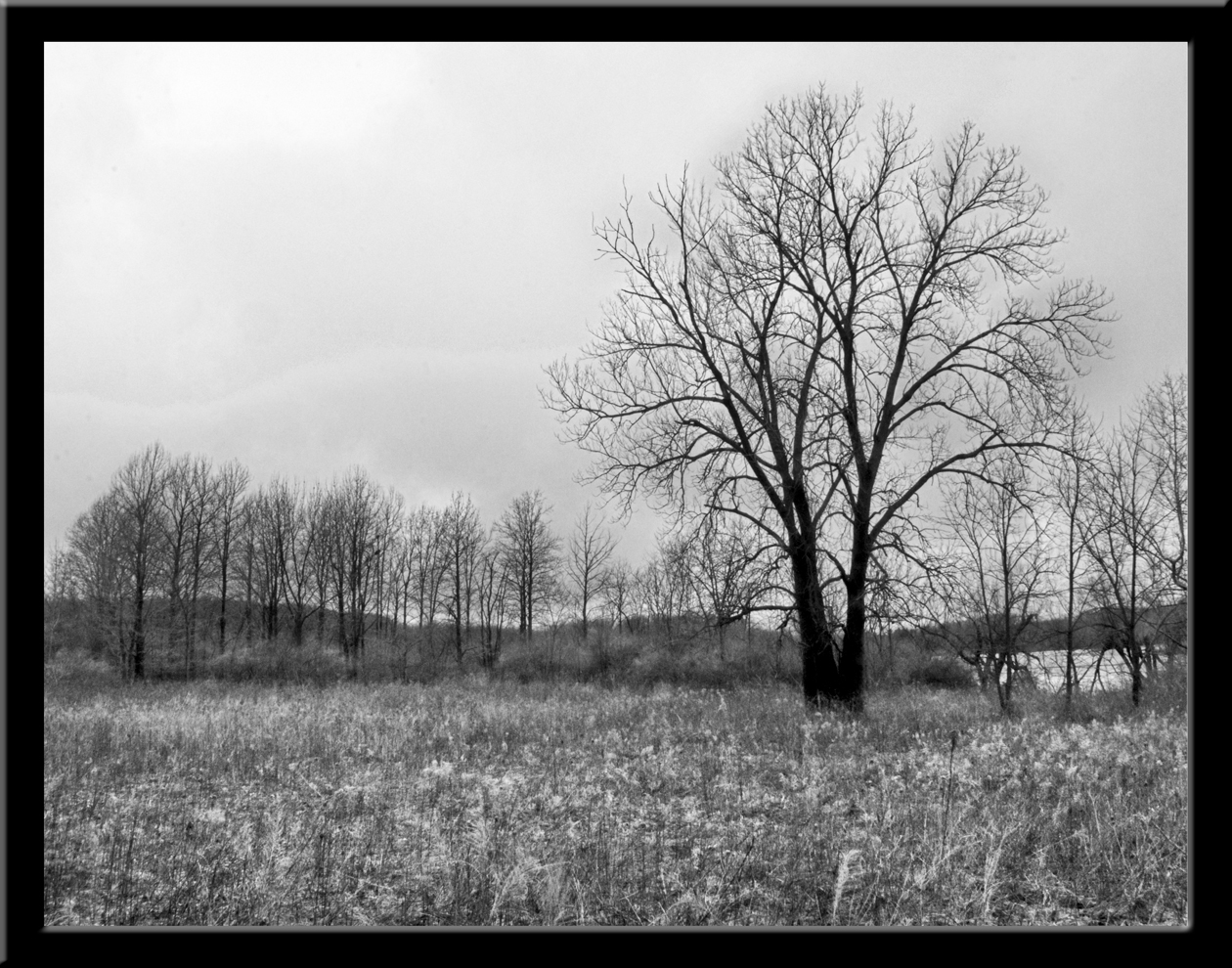
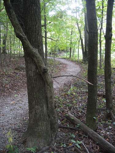
DT: Photo 1 - (Landscape B&W) - A gray day in the park
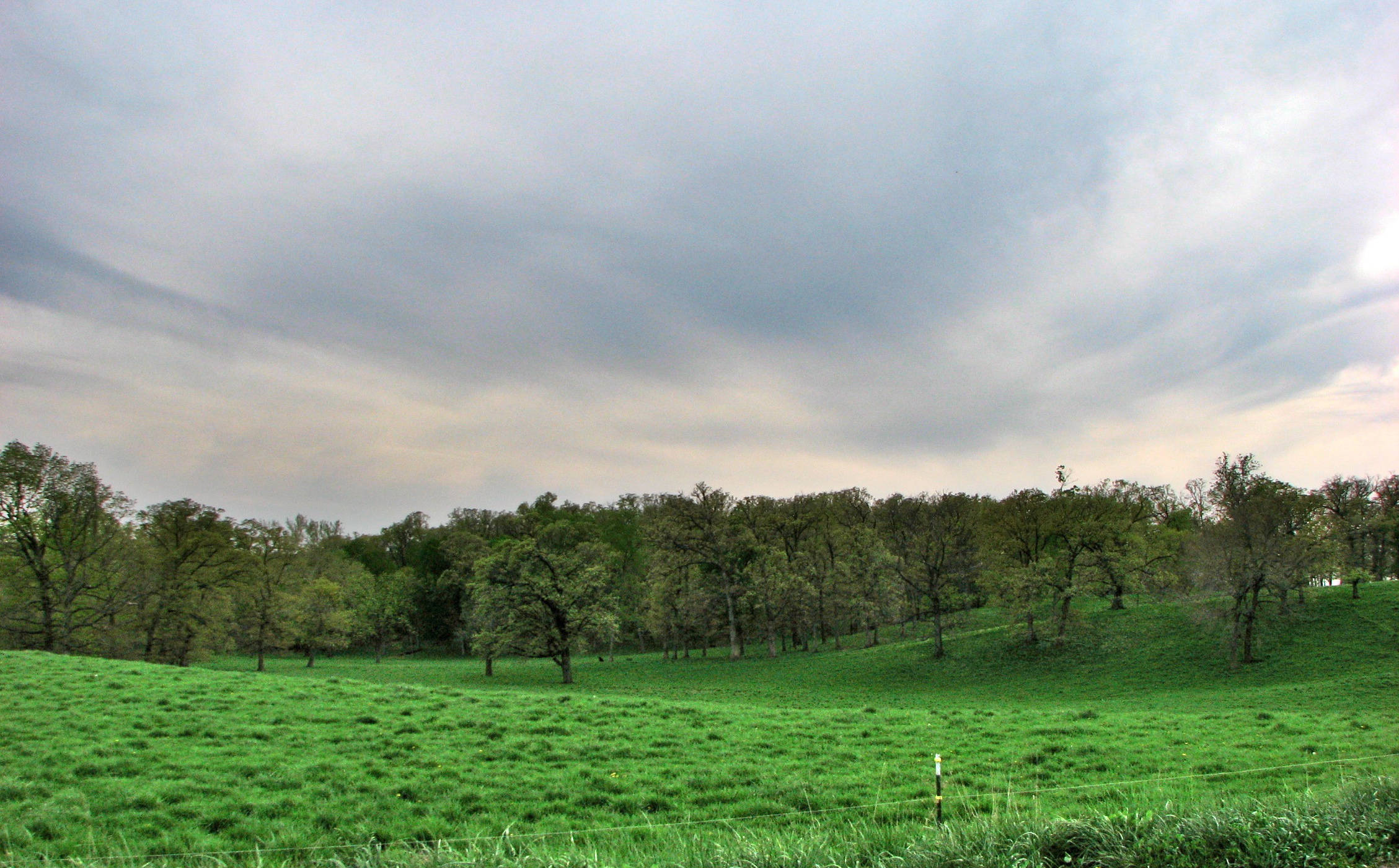
Green Pastures
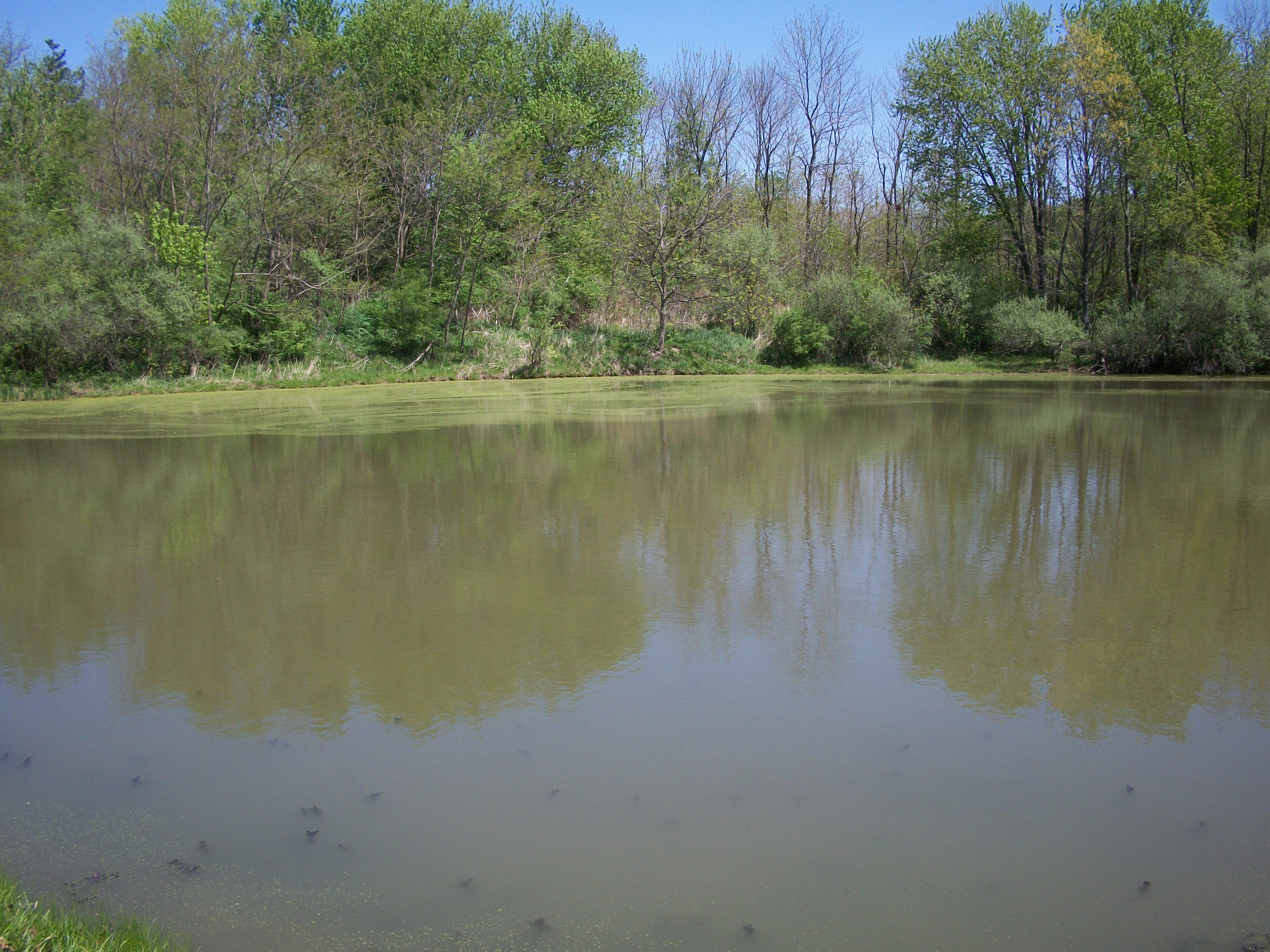
Day 208 - Moraine View backwater
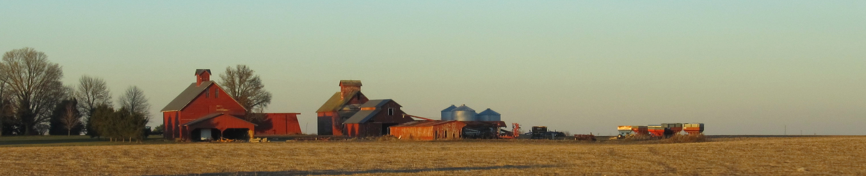
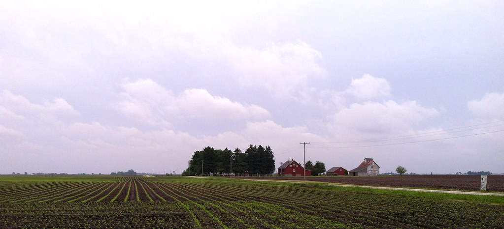
Barn Near Towanda, Illinois

Illinois Wind Farm

DT: Photo 5 (Panorama - Landscape) - Docks @ Moraine View State Park

Deep into Cloud
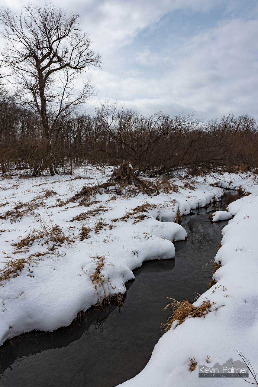
Moraine View Creek

Moraine View State Park
Hold me
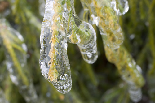
Icy Plants
Moraine View State Park
Topographic Map of Cooksville, IL, USA
Find elevation by address:

Places in Cooksville, IL, USA:
Places near Cooksville, IL, USA:
Blue Mound Township
N East Rd, Cooksville, IL, USA
Dawson Township
Colfax
W Main St, Colfax, IL, USA
Martin Township
Merna
County Rd E, Merna, IL, USA
N Main St, Arrowsmith, IL, USA
Arrowsmith
25 Rr 1, Downs, IL, USA
Towanda Township
Arrowsmith Township
Mclean County
Oldtown Township
Towanda
General Electric Rd, Bloomington, IL, USA
1500 Airport Rd
3024 E Empire St
2908 E College Ave
Recent Searches:
- Elevation of Corso Fratelli Cairoli, 35, Macerata MC, Italy
- Elevation of Tallevast Rd, Sarasota, FL, USA
- Elevation of 4th St E, Sonoma, CA, USA
- Elevation of Black Hollow Rd, Pennsdale, PA, USA
- Elevation of Oakland Ave, Williamsport, PA, USA
- Elevation of Pedrógão Grande, Portugal
- Elevation of Klee Dr, Martinsburg, WV, USA
- Elevation of Via Roma, Pieranica CR, Italy
- Elevation of Tavkvetili Mountain, Georgia
- Elevation of Hartfords Bluff Cir, Mt Pleasant, SC, USA