Elevation of N Main St, Arrowsmith, IL, USA
Location: United States > Illinois > Mclean County > Arrowsmith Township > Arrowsmith >
Longitude: -88.631966
Latitude: 40.450138
Elevation: 270m / 886feet
Barometric Pressure: 98KPa
Elevation Map:
Satellite Map:
Related Photos:
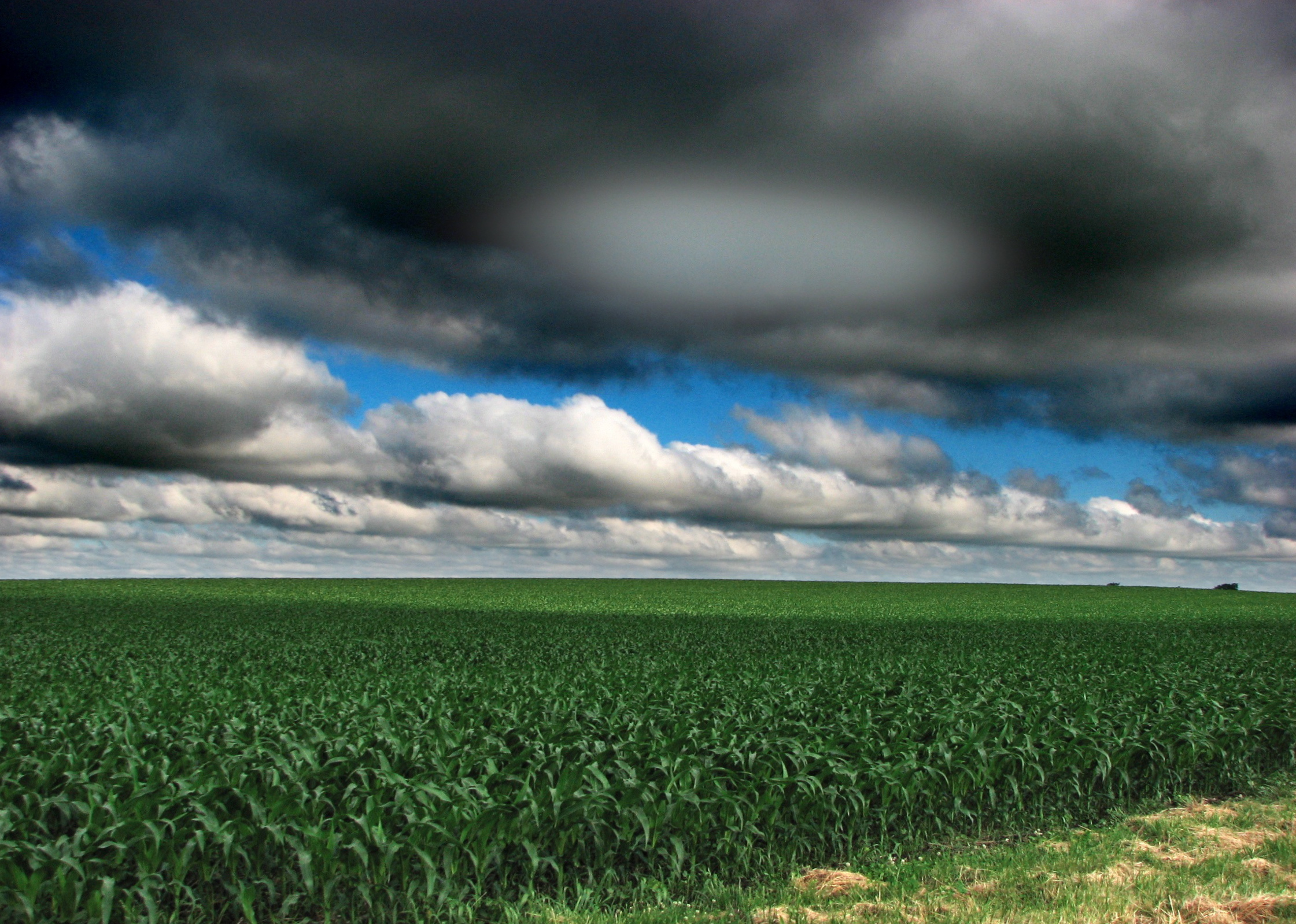
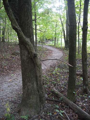
Illinois landscape

Wildflowers on the Road to Gibson CIty

Wildflowers on the Road to Gibson CIty 2

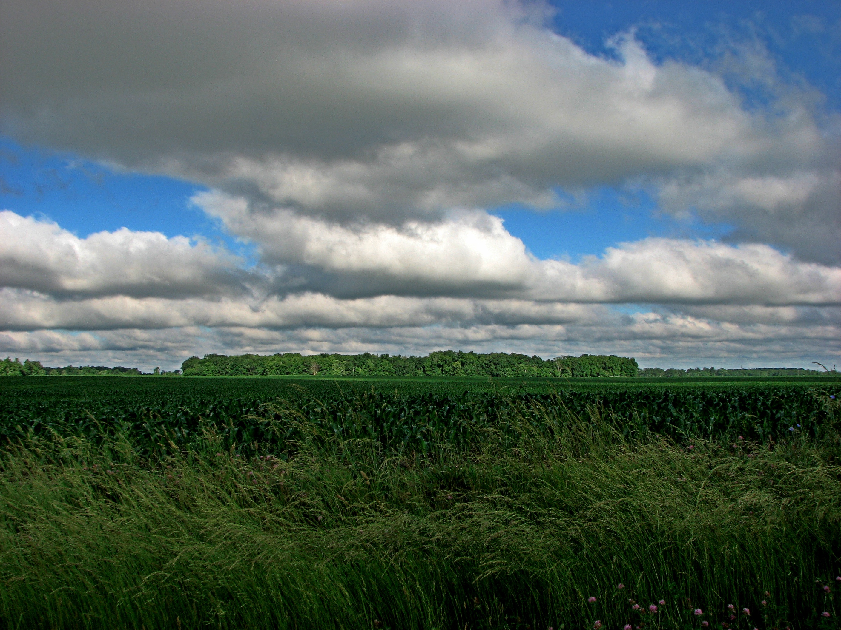
Illinois Landscape
Illinois landscape
Illinois landscape

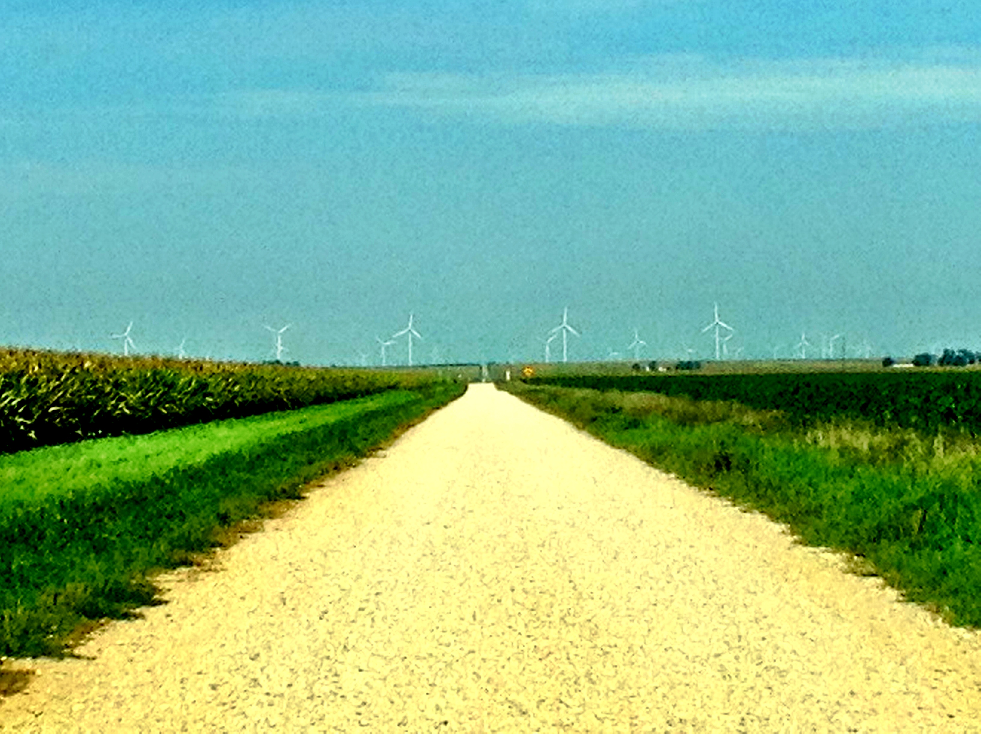
Illinois Wind Farm

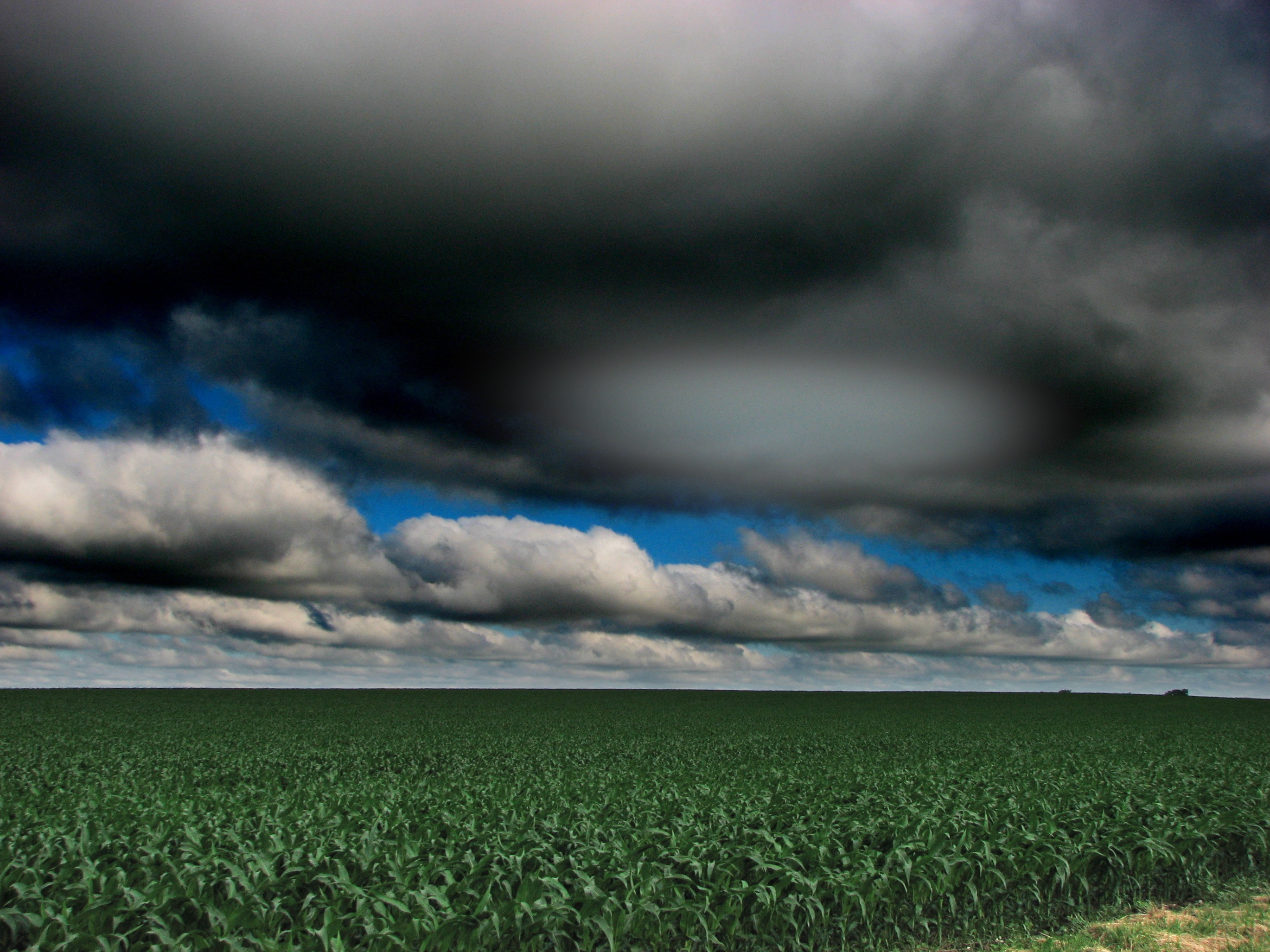
Deep into Cloud

Illinois Wind Farm
Peoria August 2012
Moraine View State Park

Sunset and Wind Farm
DT: Photo 1 - (Landscape B&W) - A gray day in the park
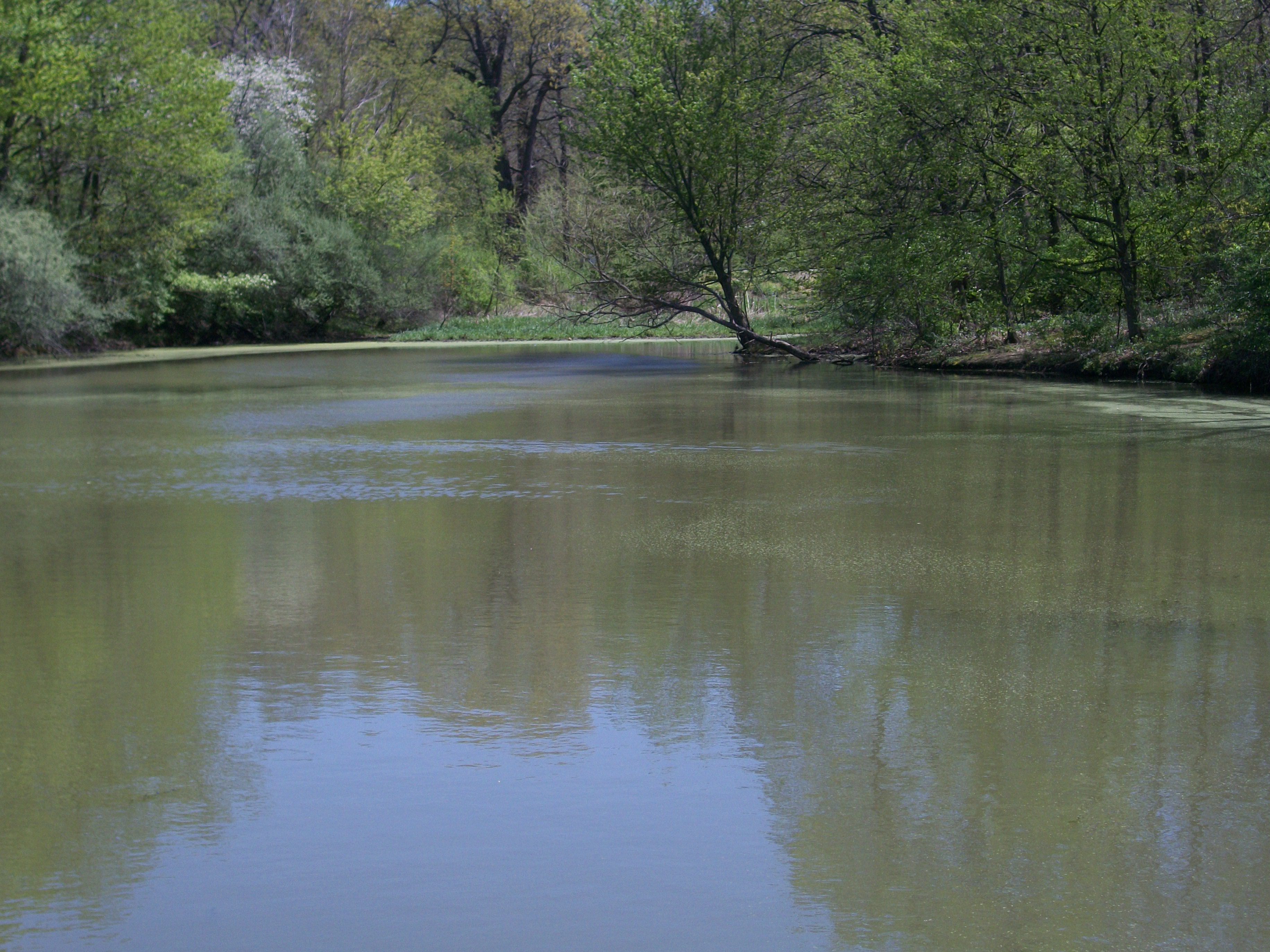
Day 208 - Moraine View backwater

Sunset and Wind Farm

Sunset and Wind Farm

DT: Photo 5 (Panorama - Landscape) - Docks @ Moraine View State Park
Moraine View Creek
Hold me

Icy Plants
Moraine View State Park
Topographic Map of N Main St, Arrowsmith, IL, USA
Find elevation by address:

Places near N Main St, Arrowsmith, IL, USA:
Arrowsmith
Arrowsmith Township
Martin Township
Dawson Township
W Main St, Colfax, IL, USA
Colfax
Blue Mound Township
Cooksville
N East Rd, Cooksville, IL, USA
25 Rr 1, Downs, IL, USA
Merna
County Rd E, Merna, IL, USA
Oldtown Township
Towanda Township
Mclean County
General Electric Rd, Bloomington, IL, USA
Towanda
3024 E Empire St
Priscilla Ln, Bloomington, IL, USA
2908 E College Ave
Recent Searches:
- Elevation of Elwyn Dr, Roanoke Rapids, NC, USA
- Elevation of Congressional Dr, Stevensville, MD, USA
- Elevation of Bellview Rd, McLean, VA, USA
- Elevation of Stage Island Rd, Chatham, MA, USA
- Elevation of Shibuya Scramble Crossing, 21 Udagawacho, Shibuya City, Tokyo -, Japan
- Elevation of Jadagoniai, Kaunas District Municipality, Lithuania
- Elevation of Pagonija rock, Kranto 7-oji g. 8"N, Kaunas, Lithuania
- Elevation of Co Rd 87, Jamestown, CO, USA
- Elevation of Tenjo, Cundinamarca, Colombia
- Elevation of Côte-des-Neiges, Montreal, QC H4A 3J6, Canada