Elevation of Dawson Township, IL, USA
Location: United States > Illinois > Mclean County >
Longitude: -88.730152
Latitude: 40.4446851
Elevation: 270m / 886feet
Barometric Pressure: 98KPa
Elevation Map:
Satellite Map:
Related Photos:

Fan lightning 4

Dawson Lake at Twilight
Moraine View State Park

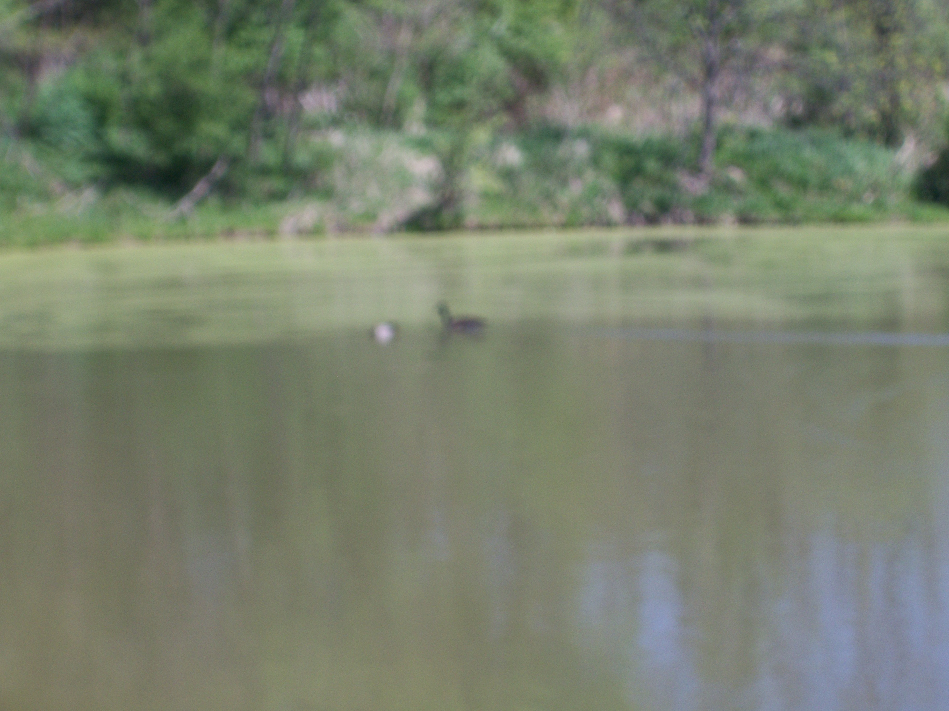
Lone Fisherman
Moraine View State Park
Moraine View State Park
Moraine View State Park

Moraine View State Park

Moraine View State Park
Moraine View State Park
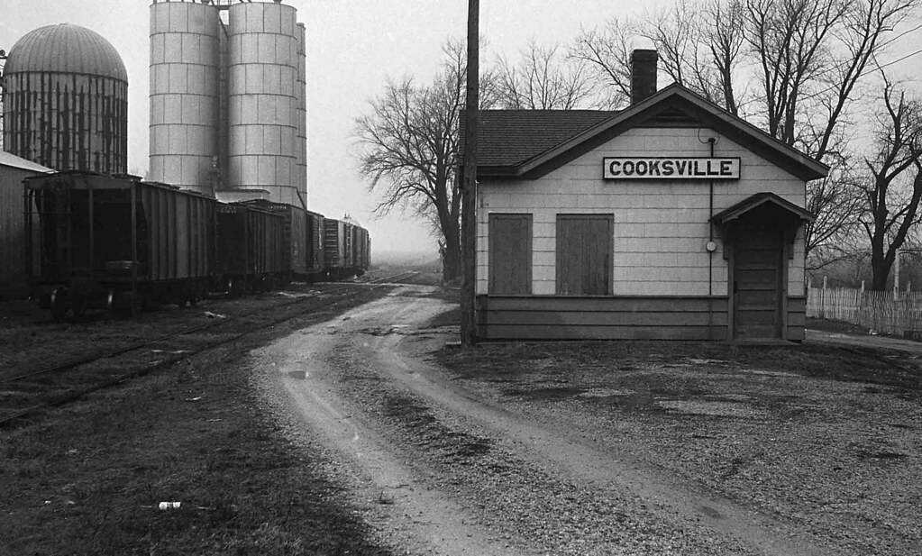
Illinois Central Depot, Cooksville, Illinois
Moraine View State Park
Moraine View State Park
Moraine View State Park

Moraine View State Park

Moraine View State Park
Moraine View State Park

Sydney Long Jumping

Gabby clearing the bar!

Gabby Wins the High Jump!

Downs IL Cemetery

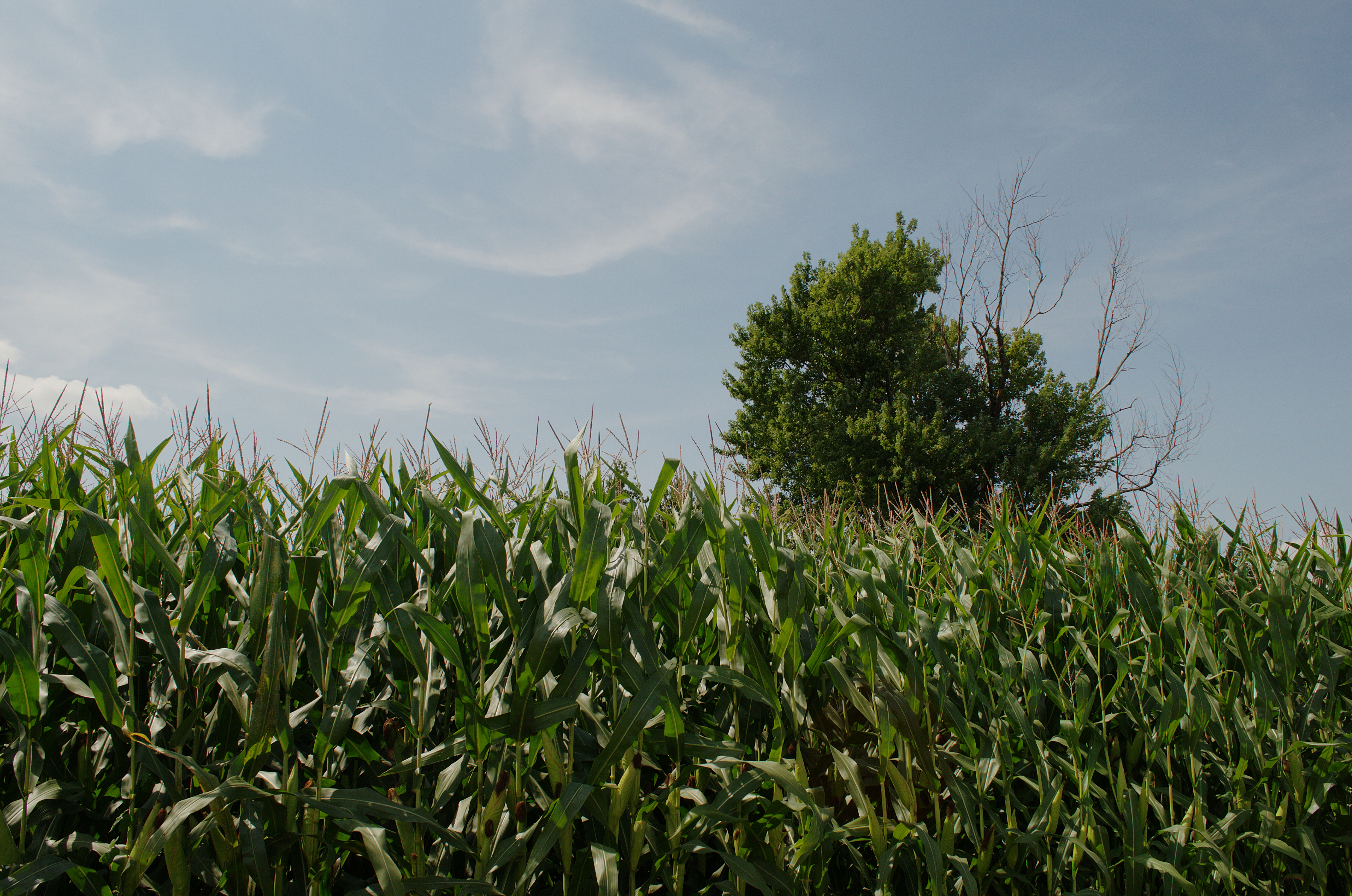
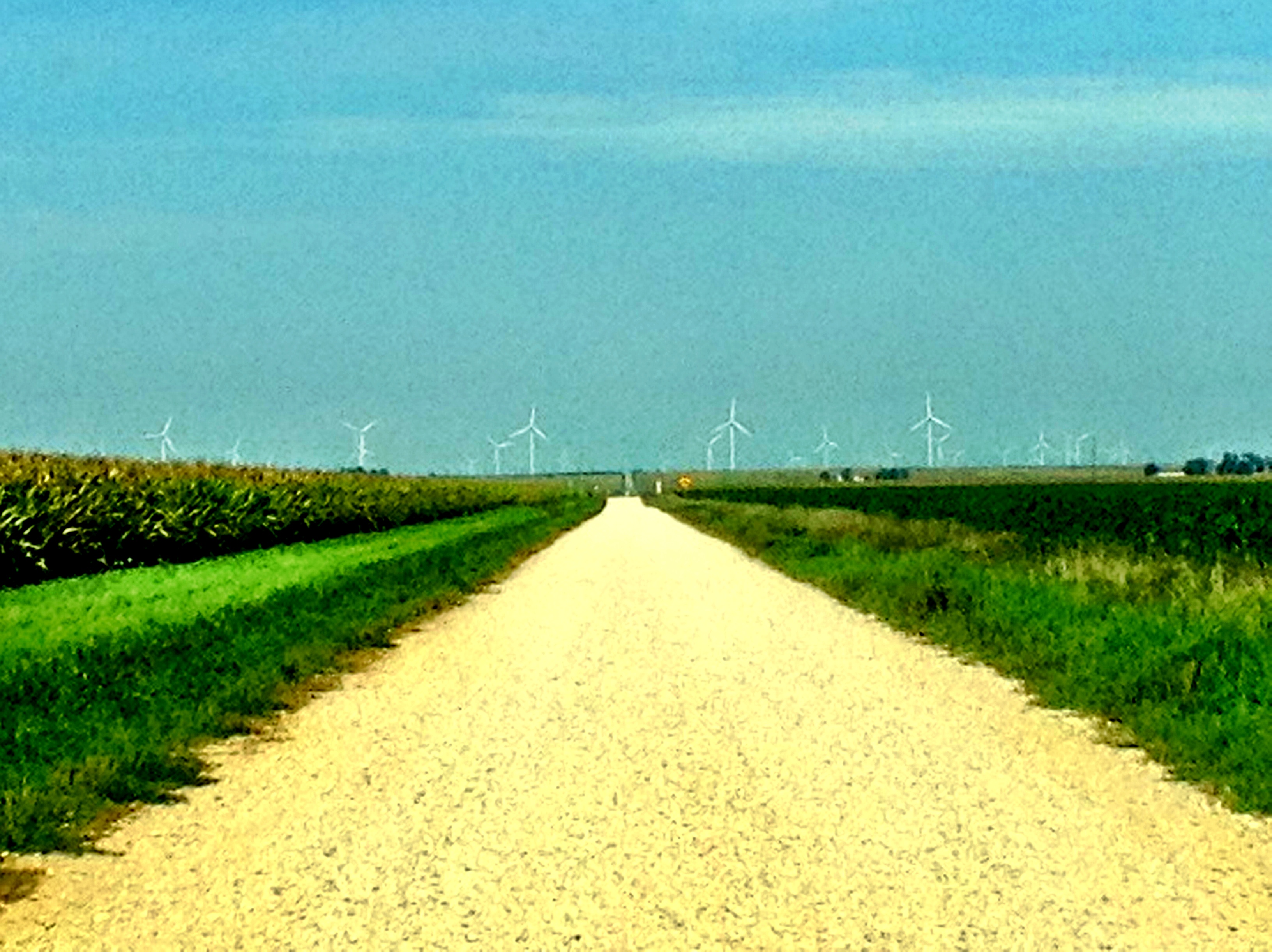
Illinois landscape
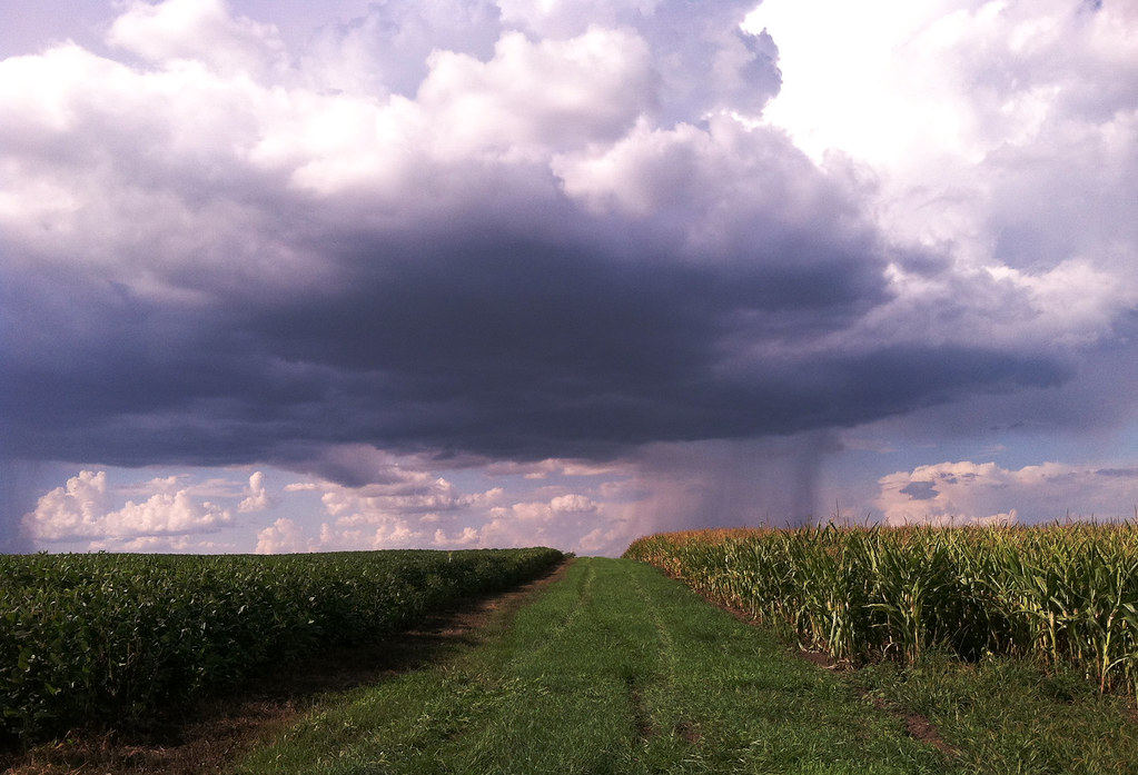
summer showers
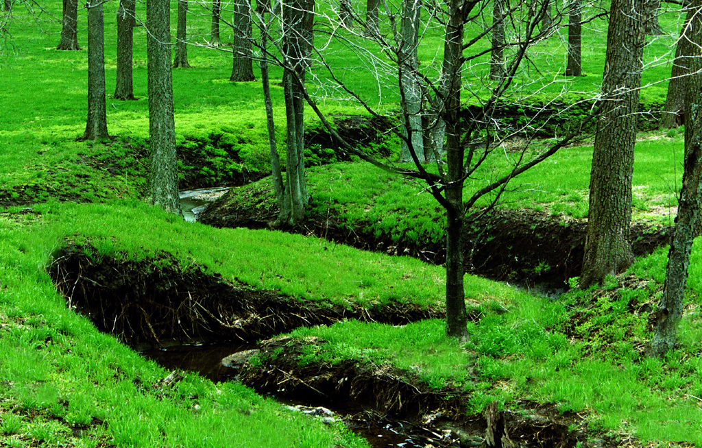
Into the woods

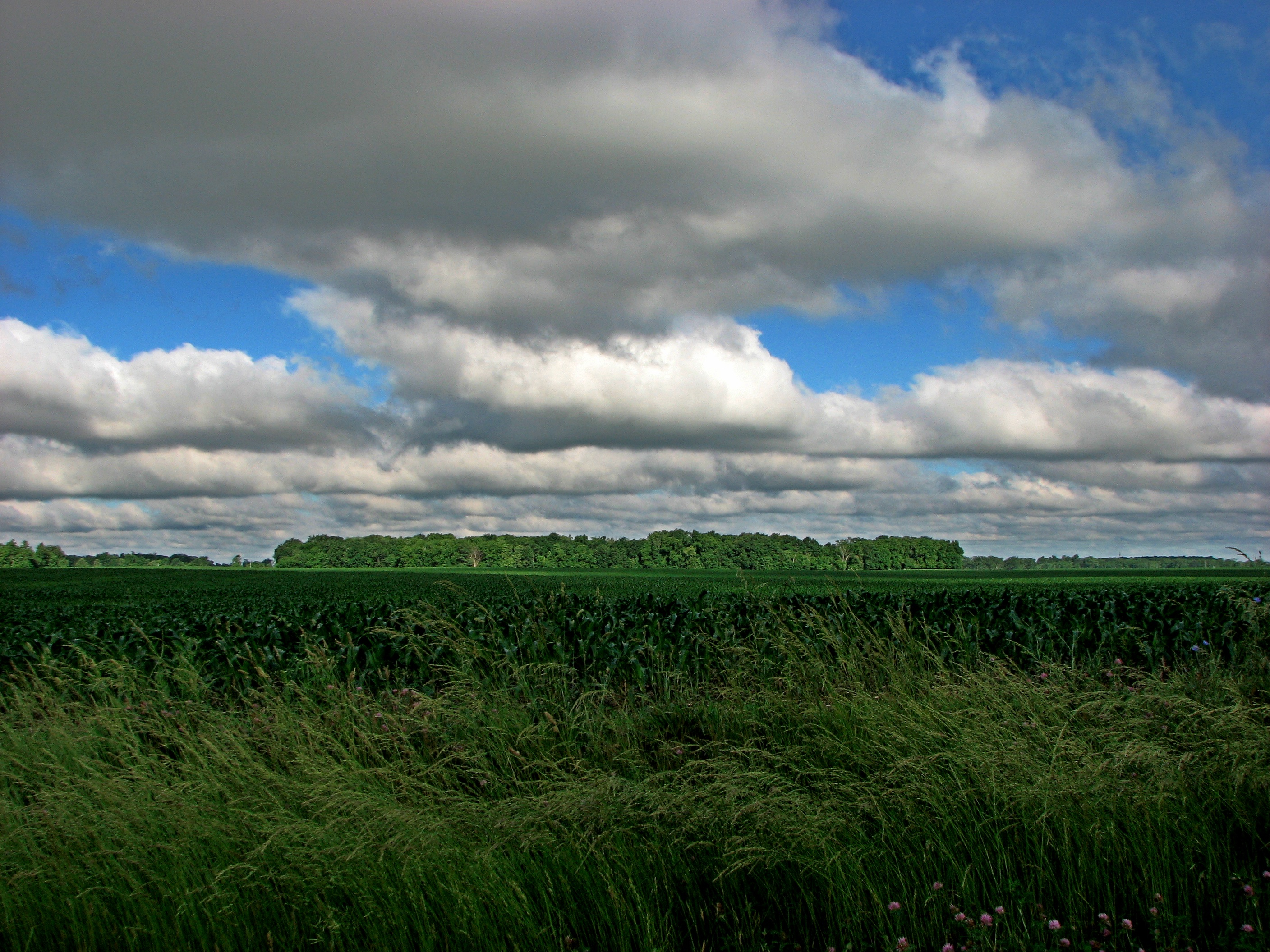
Illinois Landscape
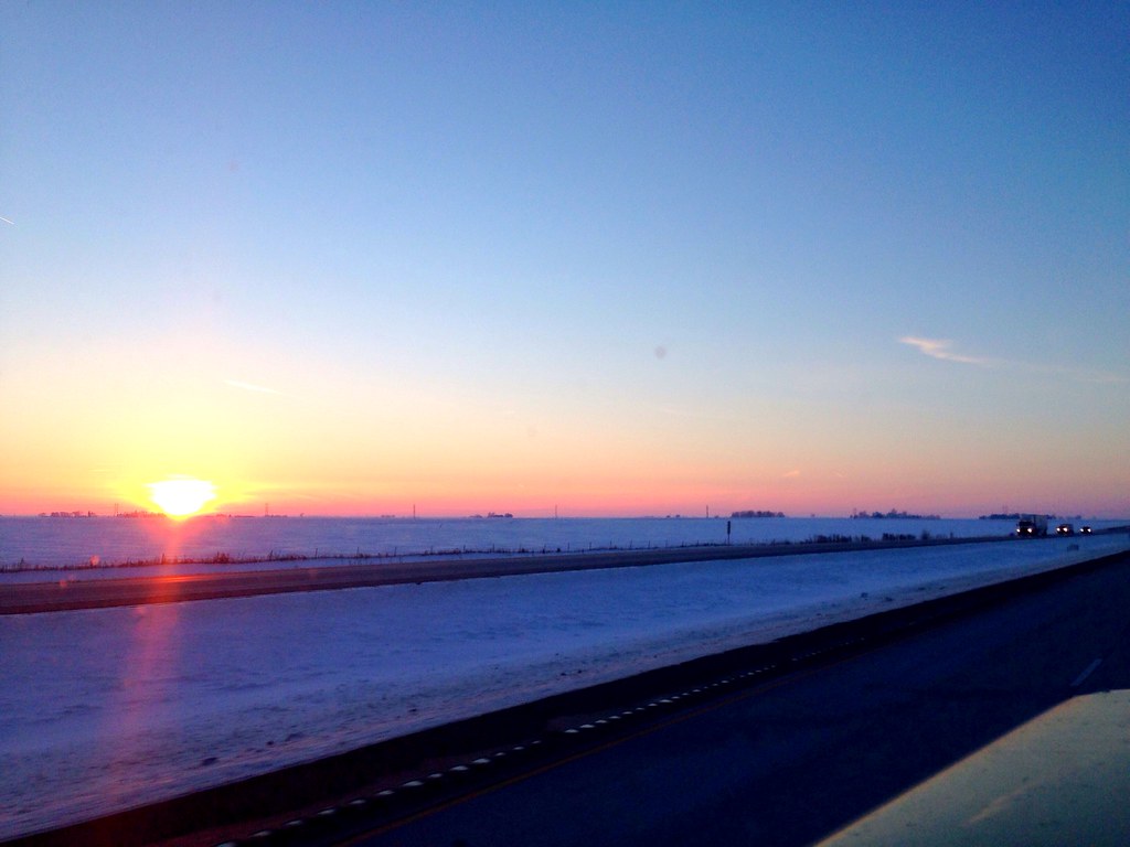
Goodnight from Illinois... Rolling west towards Seattle
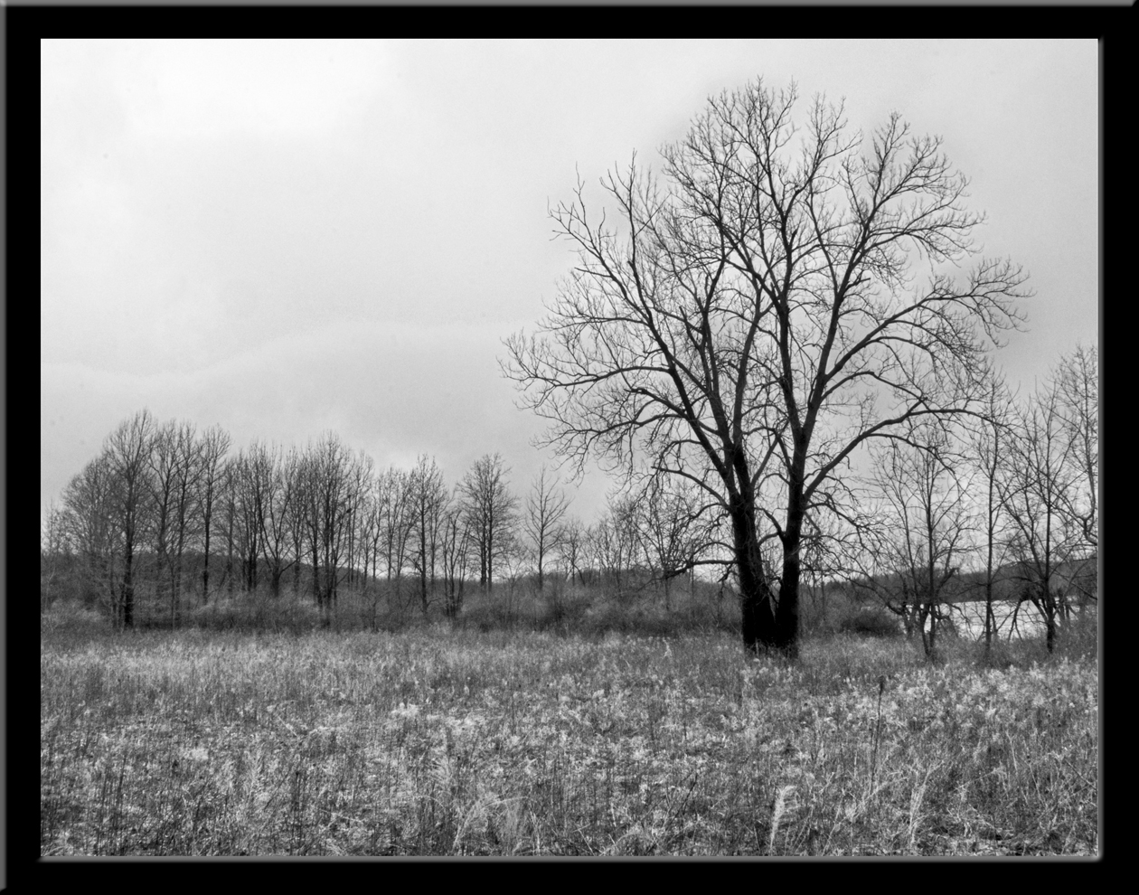
DT: Photo 1 - (Landscape B&W) - A gray day in the park
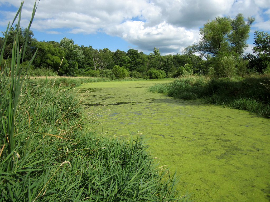
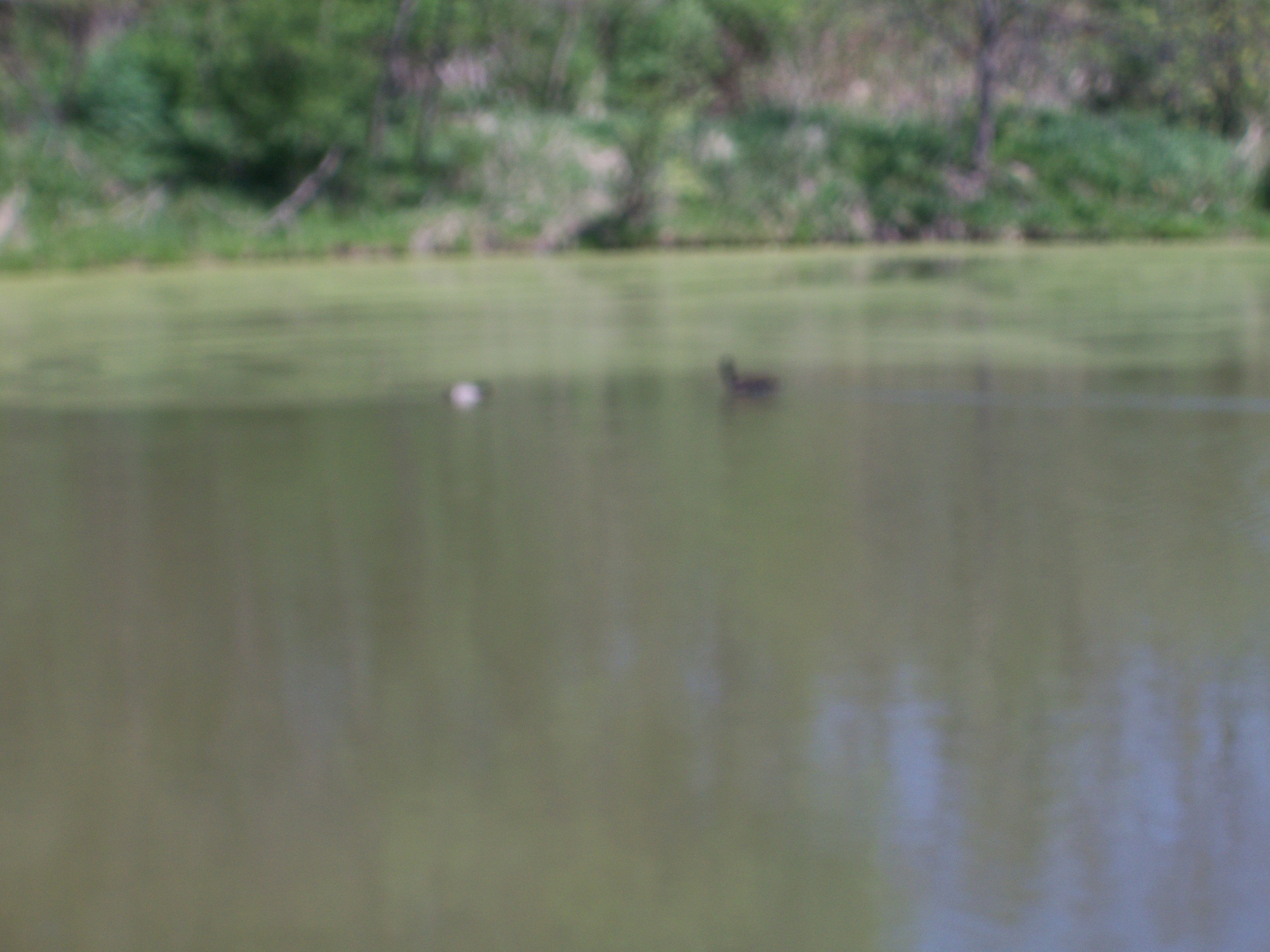
Day 208 - Moraine View backwater

McLean County, IL
McLean County, IL

DT: Photo 5 (Panorama - Landscape) - Docks @ Moraine View State Park
Peoria August 2012

Sunset and Wind Farm
Illinois landscape
Illinois landscape

Sunset and Wind Farm

Illinois Wind Farm

Sunset and Wind Farm

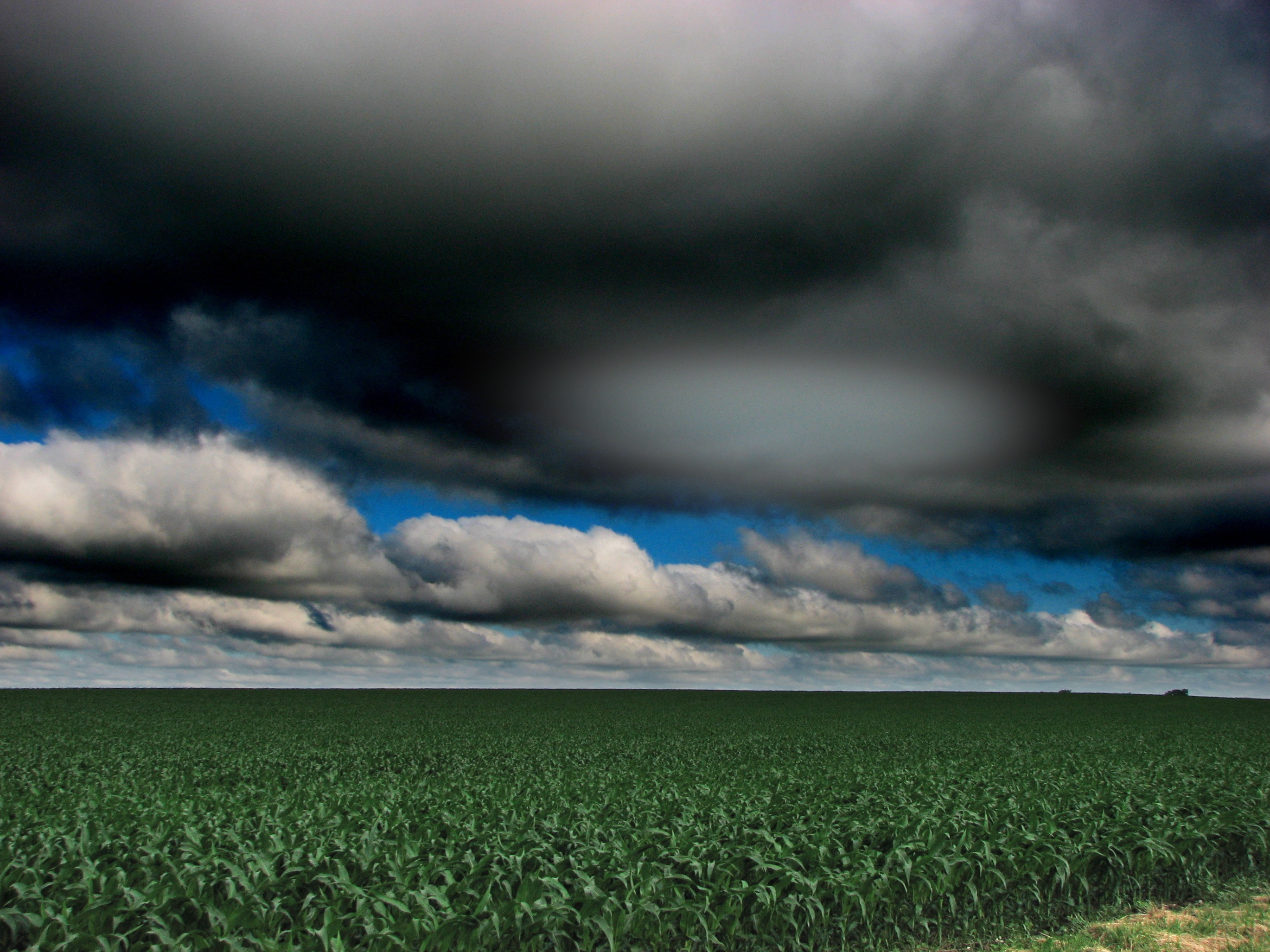
Deep into Cloud

McLean County, Illinois Abandoned Grain Elevator
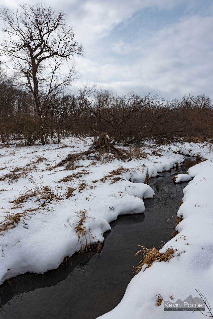
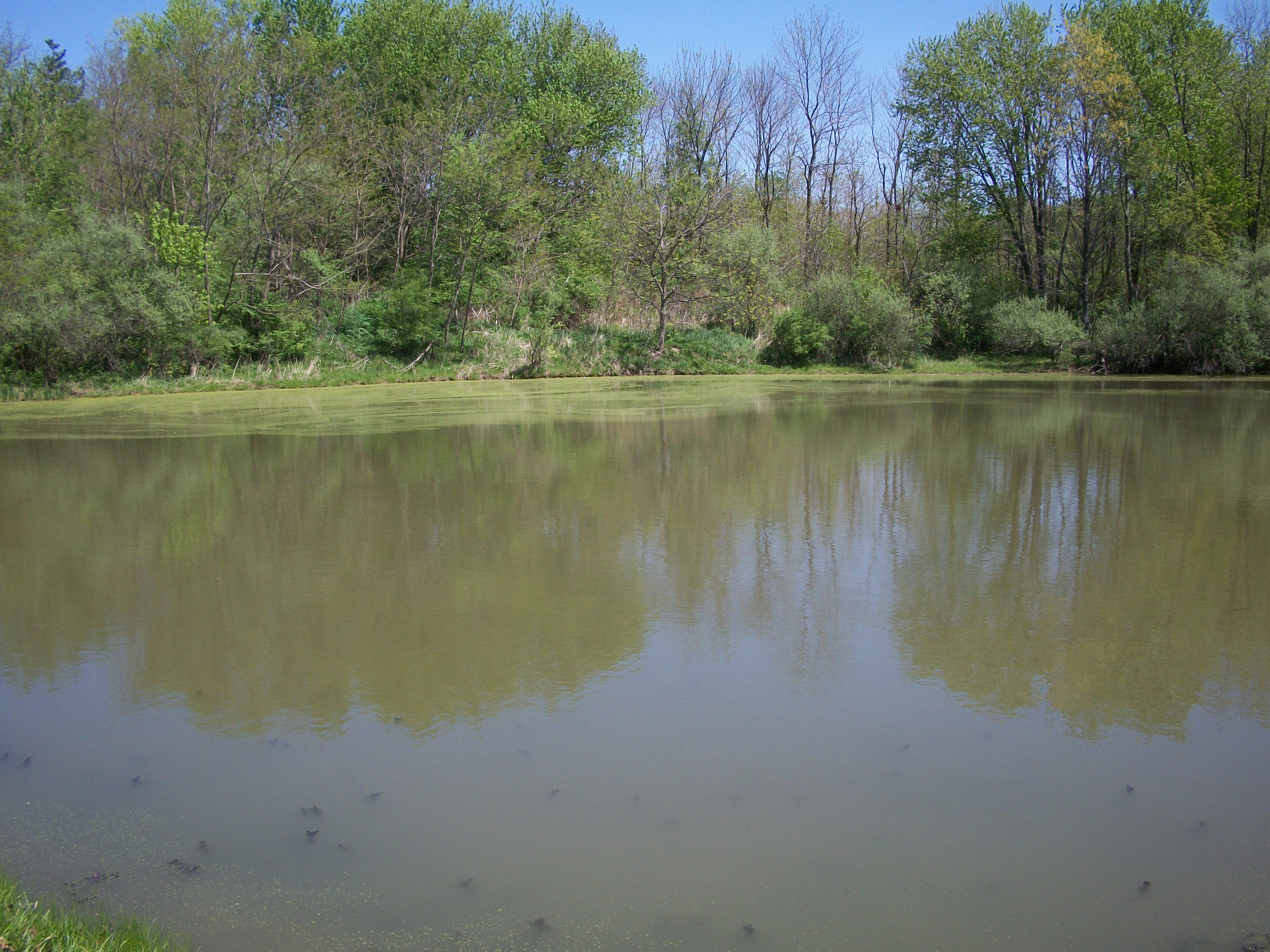
Moraine View Creek
Topographic Map of Dawson Township, IL, USA
Find elevation by address:

Places in Dawson Township, IL, USA:
Places near Dawson Township, IL, USA:
25 Rr 1, Downs, IL, USA
Blue Mound Township
N Main St, Arrowsmith, IL, USA
N East Rd, Cooksville, IL, USA
Arrowsmith
Cooksville
Oldtown Township
Arrowsmith Township
Merna
County Rd E, Merna, IL, USA
Martin Township
Towanda Township
W Main St, Colfax, IL, USA
Colfax
Mclean County
General Electric Rd, Bloomington, IL, USA
3024 E Empire St
Priscilla Ln, Bloomington, IL, USA
Towanda
2908 E College Ave
Recent Searches:
- Elevation of Elwyn Dr, Roanoke Rapids, NC, USA
- Elevation of Congressional Dr, Stevensville, MD, USA
- Elevation of Bellview Rd, McLean, VA, USA
- Elevation of Stage Island Rd, Chatham, MA, USA
- Elevation of Shibuya Scramble Crossing, 21 Udagawacho, Shibuya City, Tokyo -, Japan
- Elevation of Jadagoniai, Kaunas District Municipality, Lithuania
- Elevation of Pagonija rock, Kranto 7-oji g. 8"N, Kaunas, Lithuania
- Elevation of Co Rd 87, Jamestown, CO, USA
- Elevation of Tenjo, Cundinamarca, Colombia
- Elevation of Côte-des-Neiges, Montreal, QC H4A 3J6, Canada