Elevation of W County Rd N, Norman, IN, USA
Location: United States > Indiana > Jackson County > Salt Creek Township >
Longitude: -86.189924
Latitude: 39.0161919
Elevation: 182m / 597feet
Barometric Pressure: 99KPa
Elevation Map:
Satellite Map:
Related Photos:
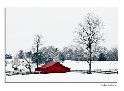
Cold Red Barn
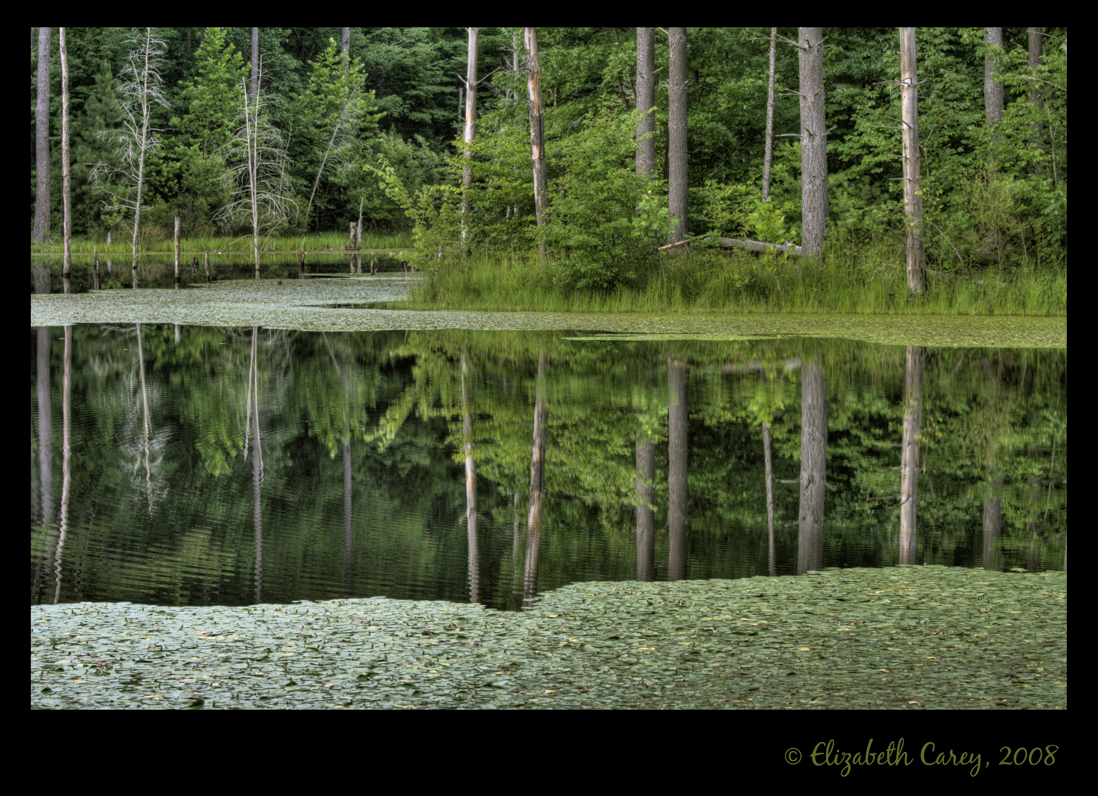
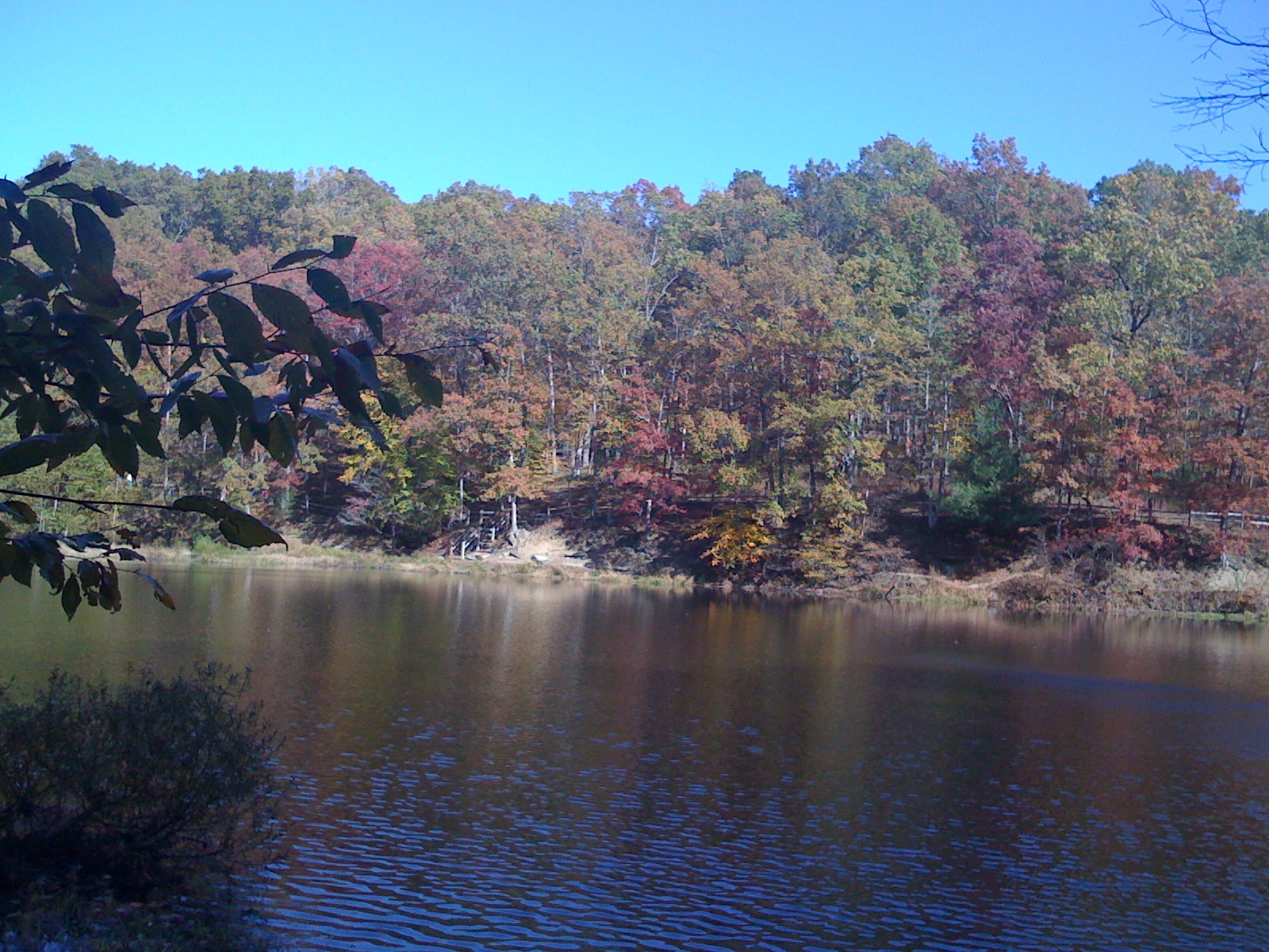
Sundance Reflections

Euphorbia bug
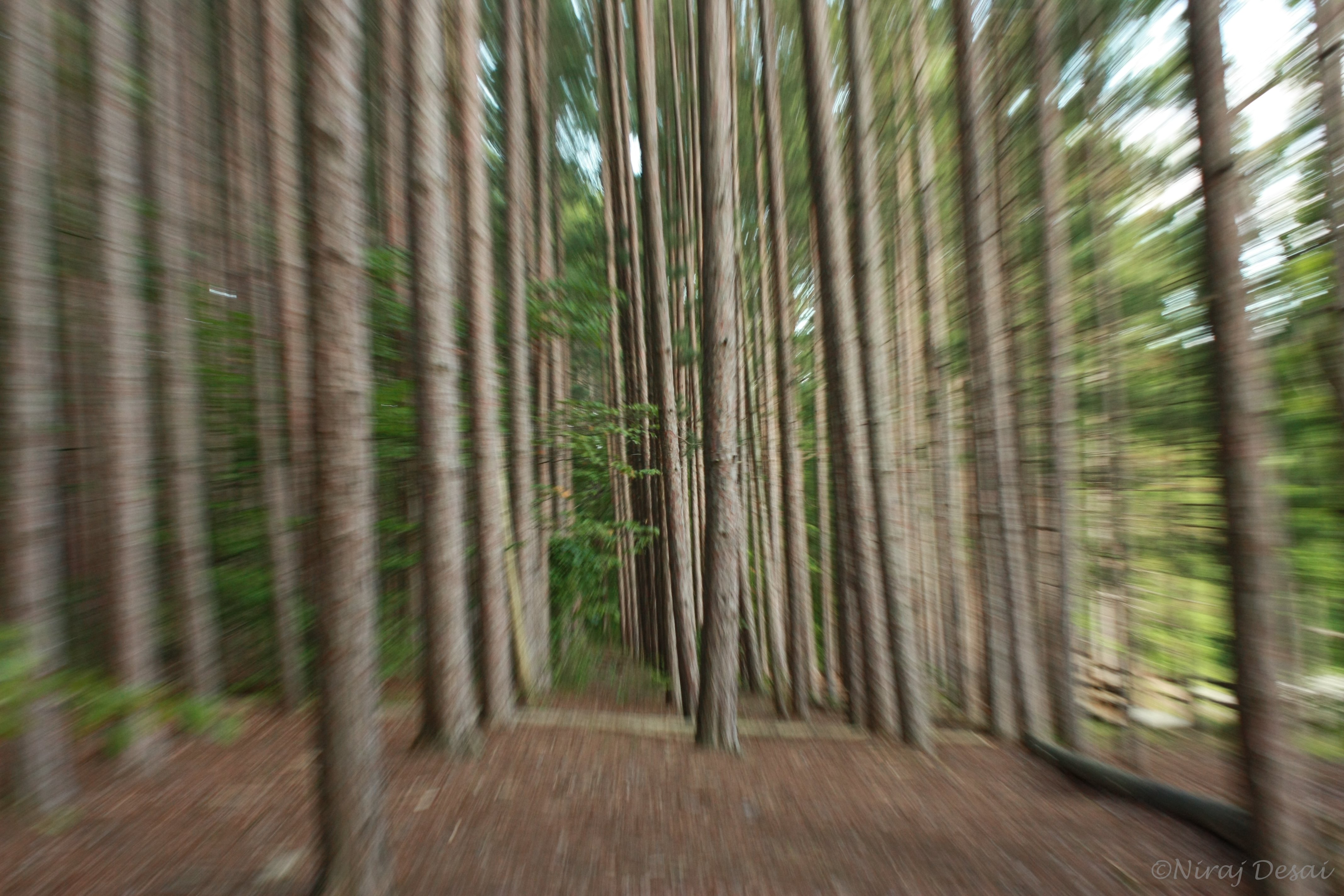
Flying through the trees
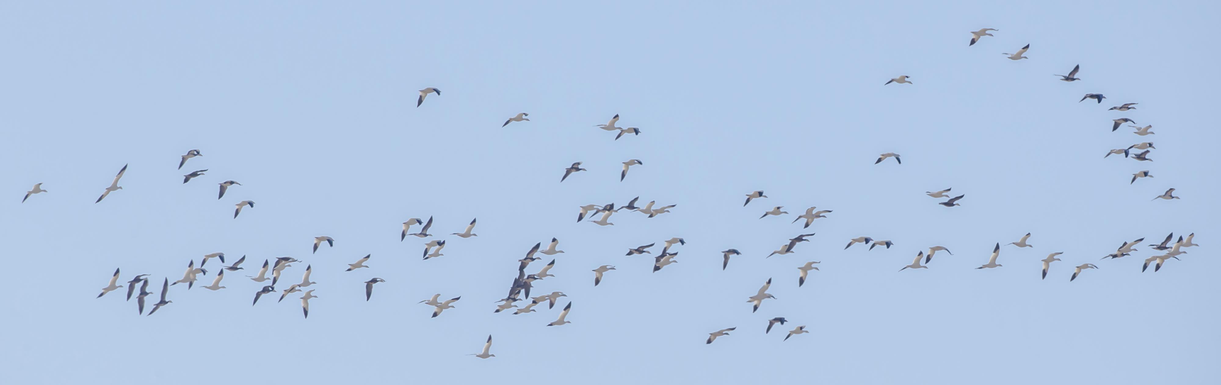
SNOW GEESE over EWING BOTTOMS, INDIANA

SANDHILL CRANE - BANDED JUVENILE
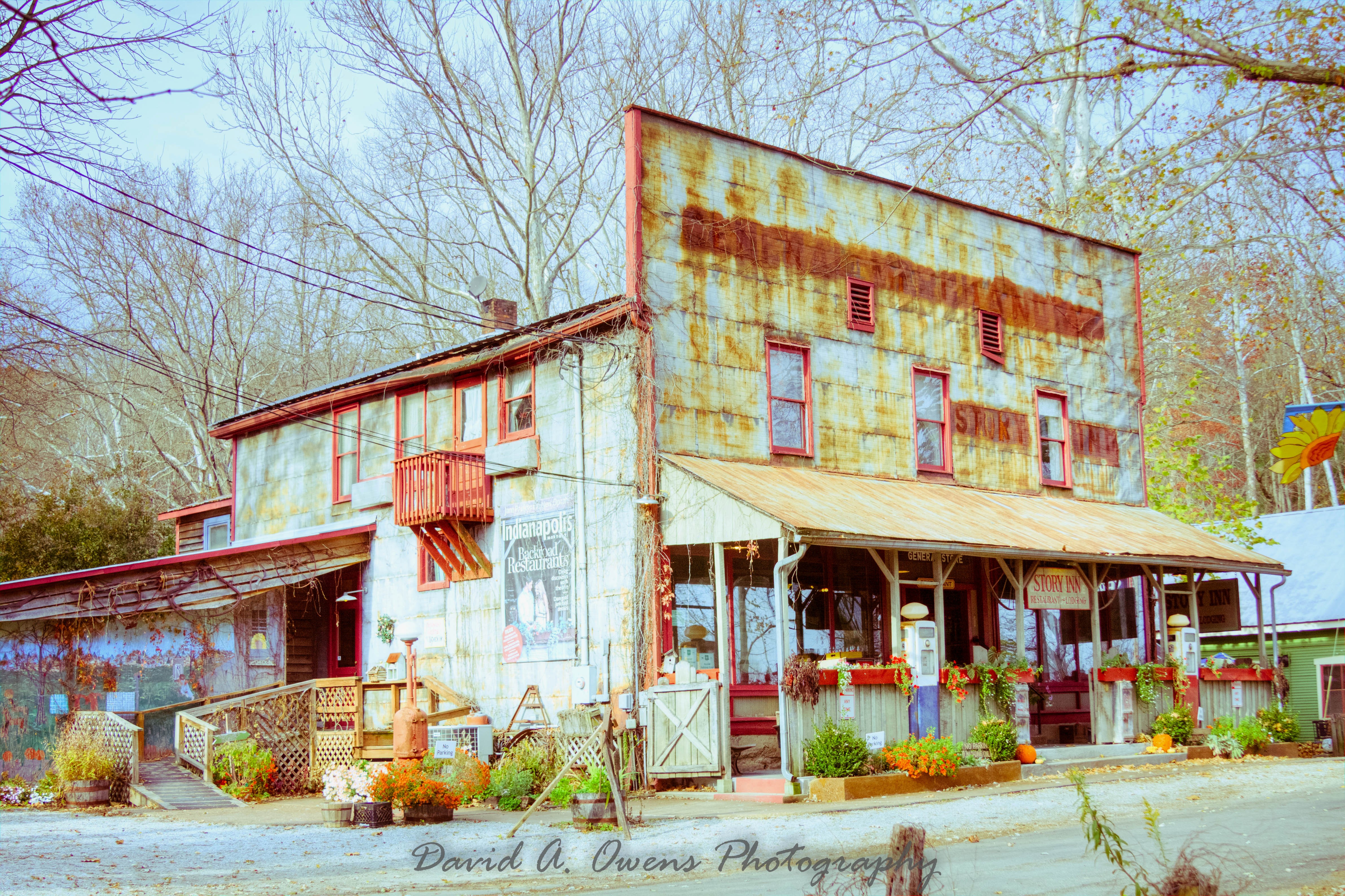
Story Inn Side View Yesteryear Preset
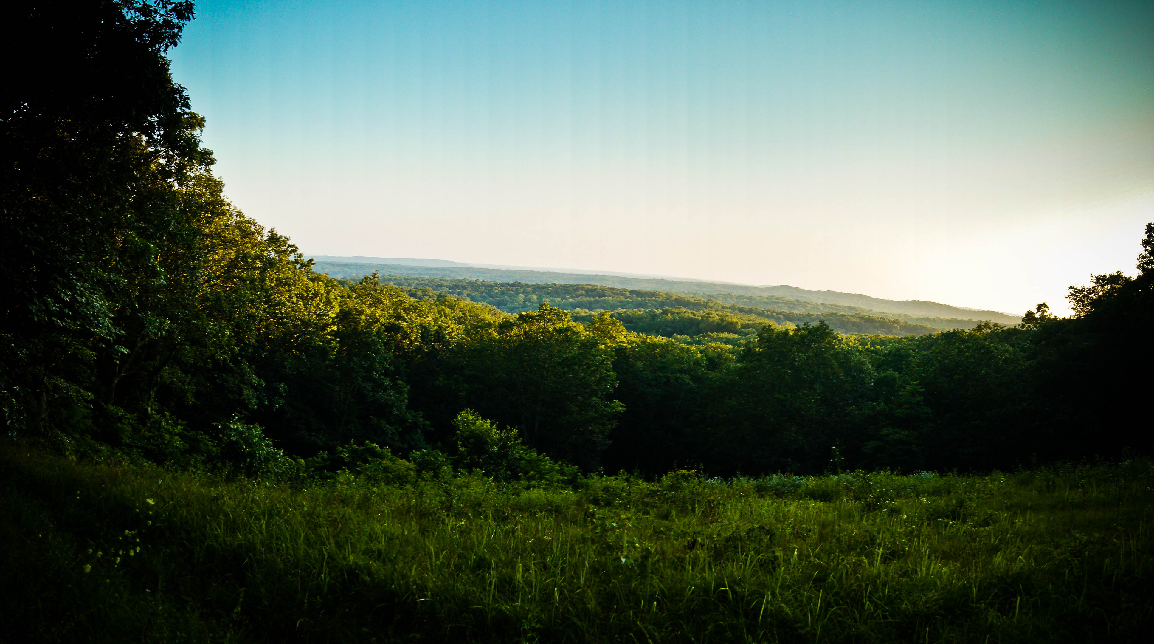
Vista view
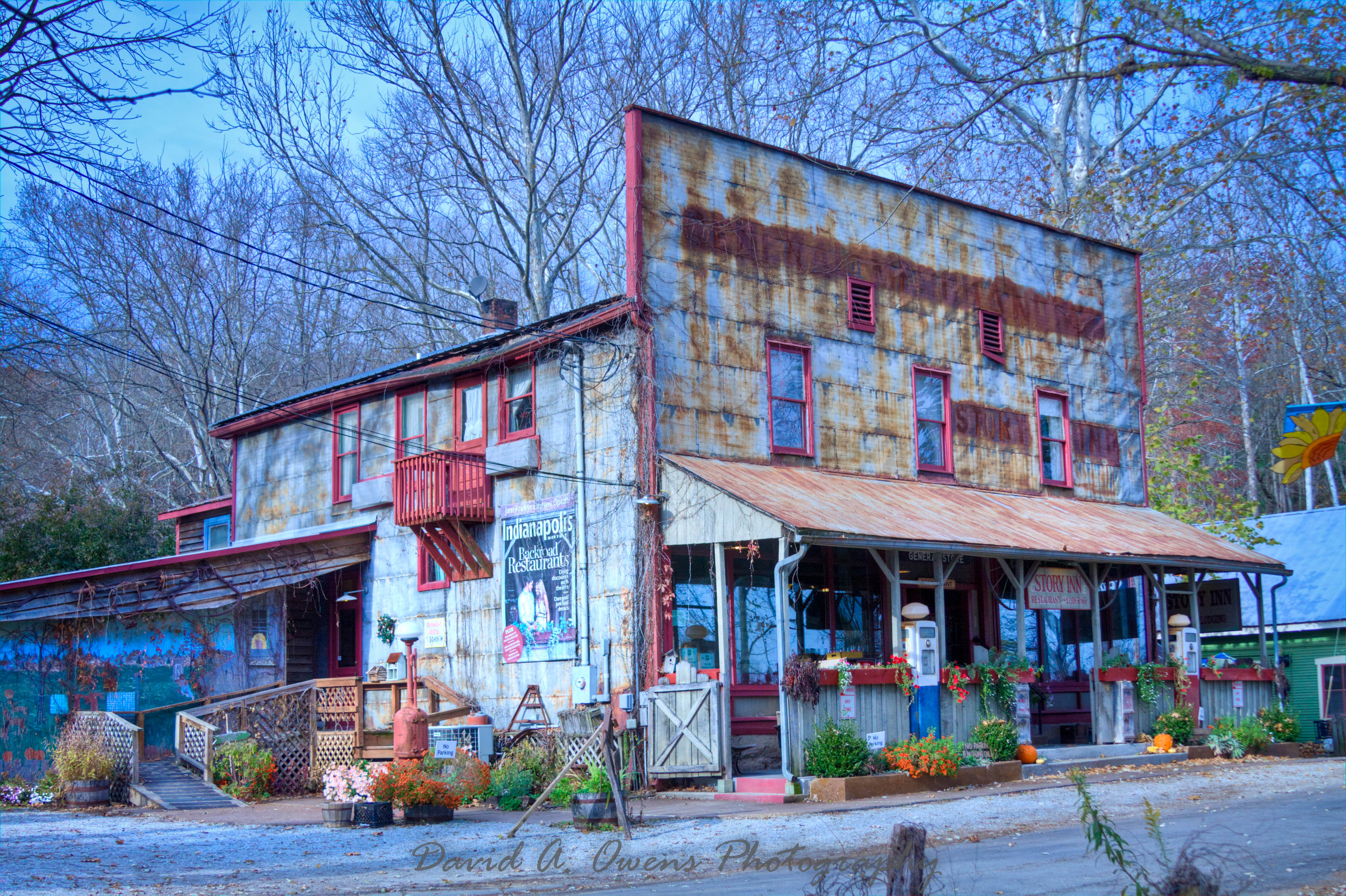
Story Inn Side View Punch Preset
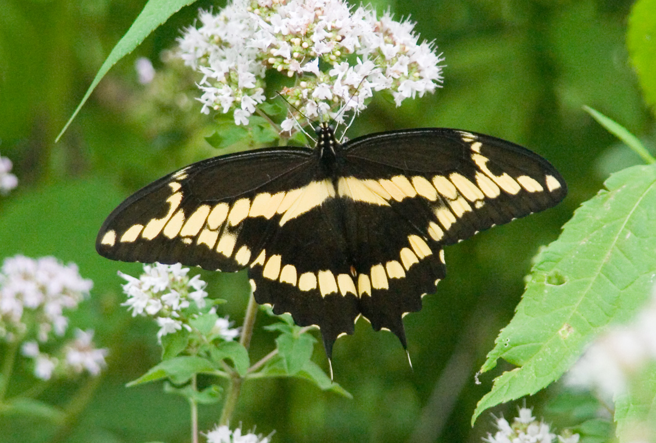
Giant Swallowtail - Woohoo! Yard and Life First
My view for the evening.

16 IMAGE PANORAMA OF SANDHILL CRANES
Brown County Barn
Old Milwaukee - Norman Station, IN
Shadows 5577 w
Stahl lake at BC State Park
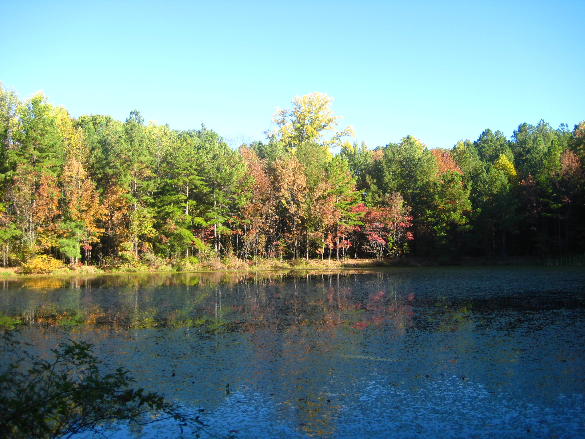
Fall colors came out to greet us
IMG_1206[1]
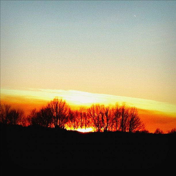
Sunset@Jan 9 2012
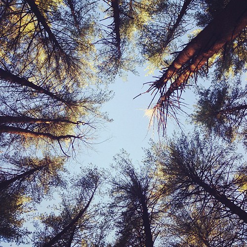
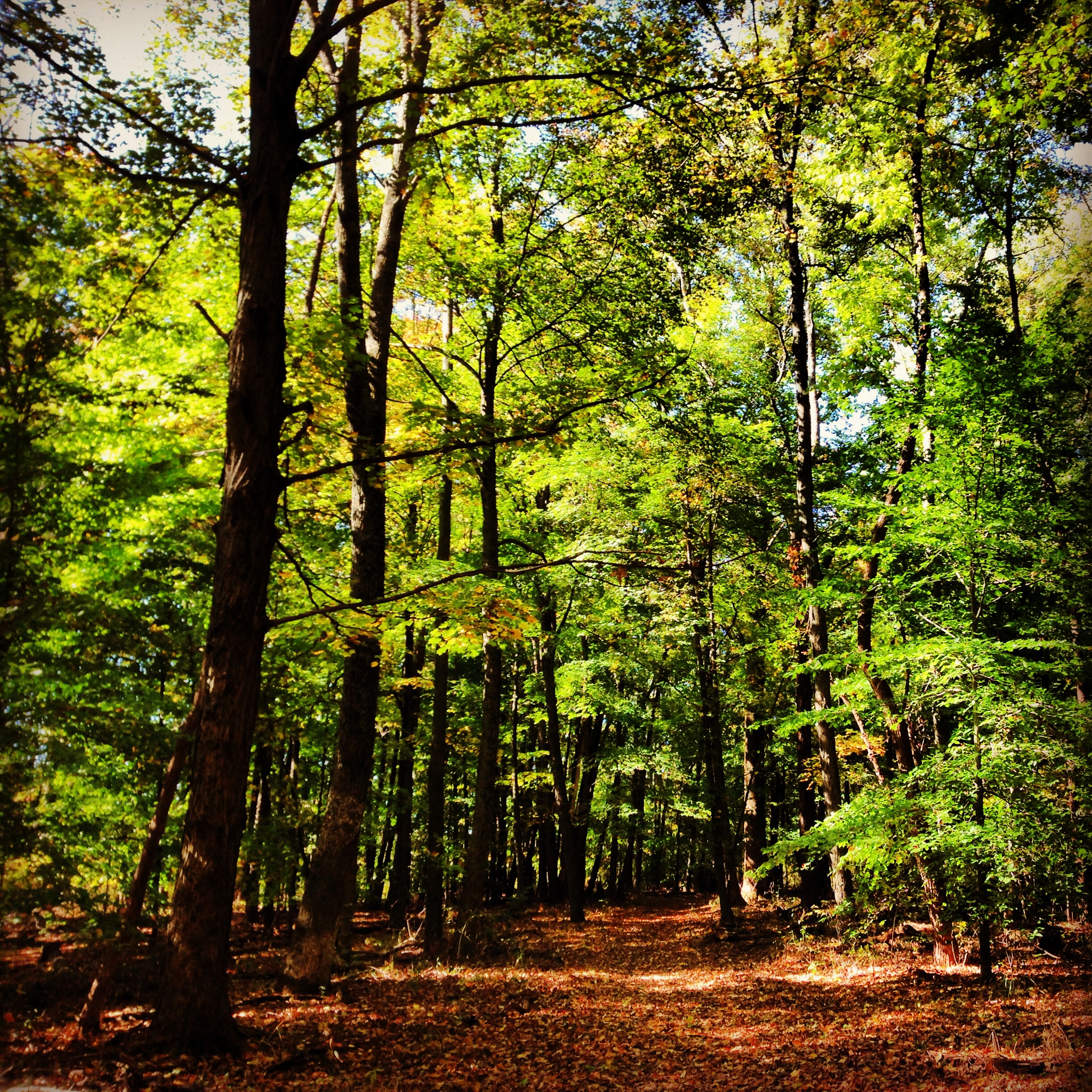
Looking up at the pines
Hiking and Camping In Charles Deam Wilderness Area.
Morning on the Pond
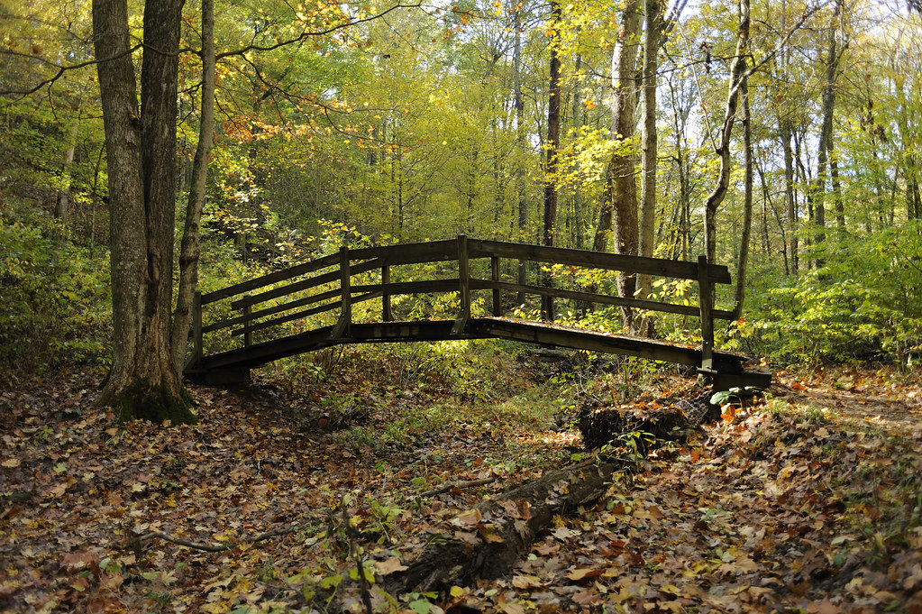
Wooden Bridge (_KVG8146)
Brown County

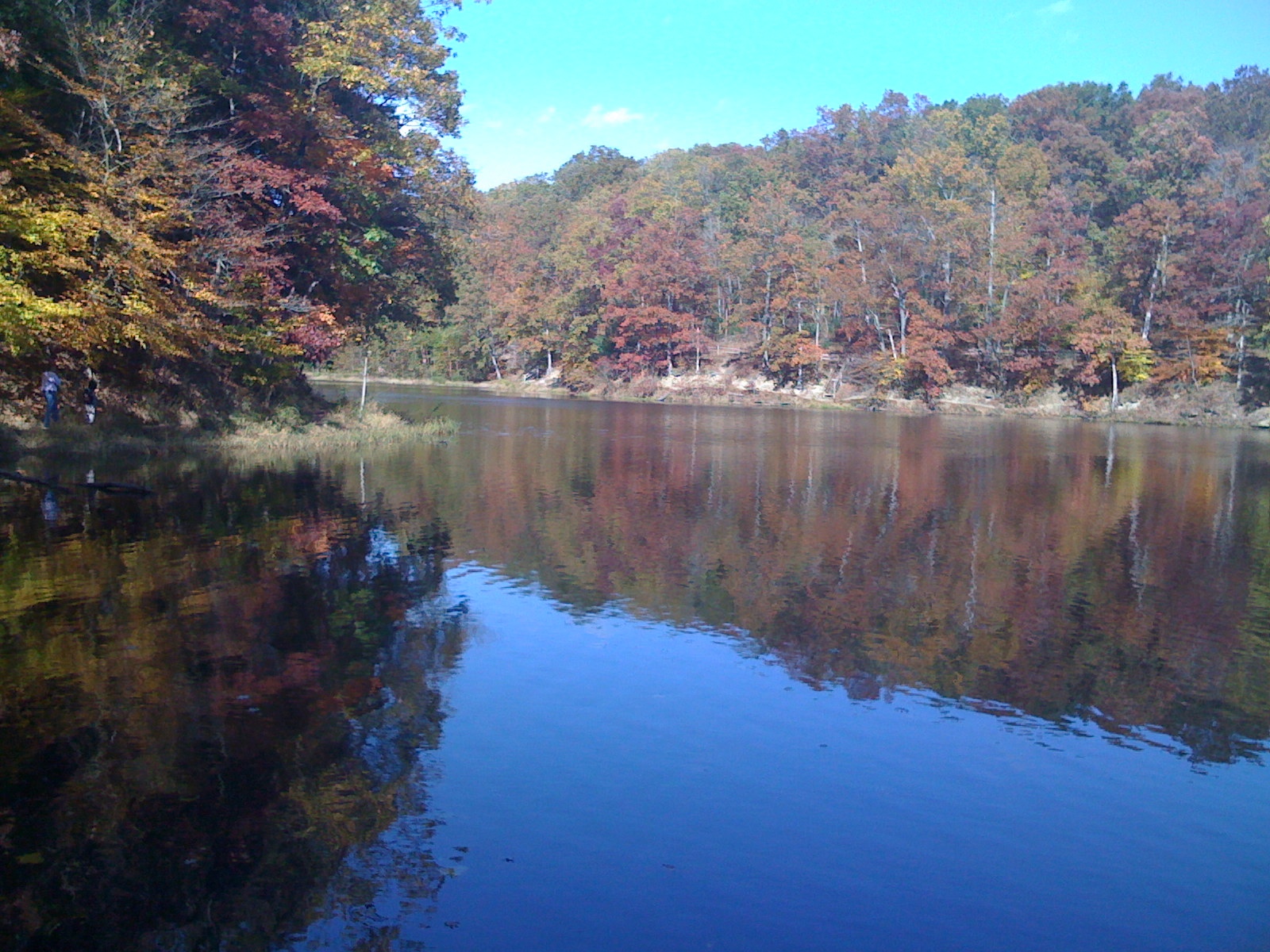
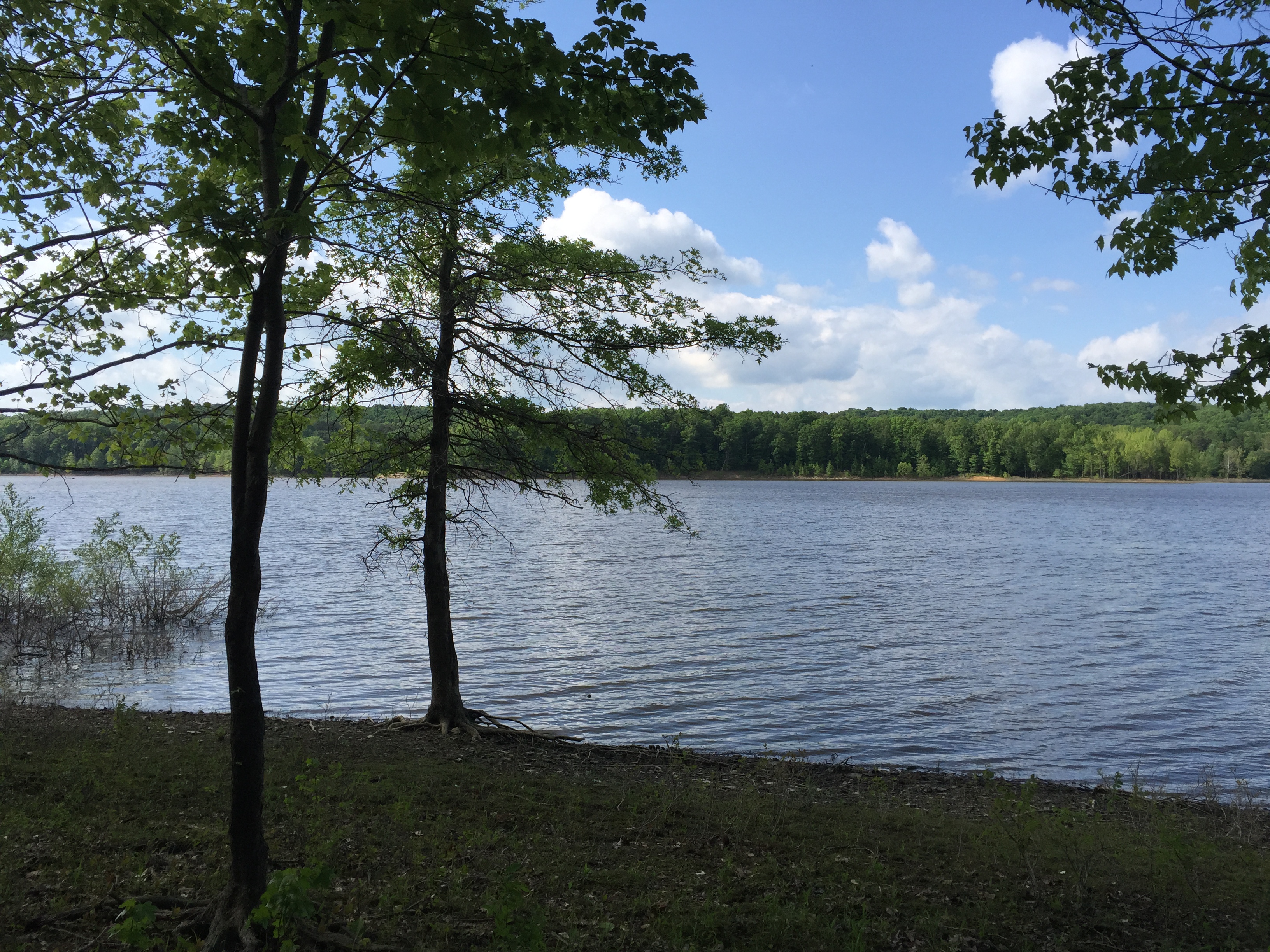
Tree-line reflection on the lake
Hiking and Camping In Charles Deam Wilderness Area.
IMG_1196[1]
Topographic Map of W County Rd N, Norman, IN, USA
Find elevation by address:

Places near W County Rd N, Norman, IN, USA:
10090 N County Rd 800 W
N W, Norman, IN, USA
Freetown, IN, USA
Salt Creek Township
8484 N County Rd 490 W
Hamilton Creek Rd, Columbus, IN, USA
N Union St, Freetown, IN, USA
Freetown
Pershing Township
Elkinsville
Van Buren Township
Norman
N County Rd W, Seymour, IN, USA
Mt Liberty Rd, Nashville, IN, USA
Brown County
IN-, Nashville, IN, USA
Washington Township
7800 Deckard Ridge Rd
7800 Deckard Ridge Rd
7800 Deckard Ridge Rd
Recent Searches:
- Elevation of Crocker Dr, Vacaville, CA, USA
- Elevation of Pu Ngaol Community Meeting Hall, HWHM+3X7, Krong Saen Monourom, Cambodia
- Elevation of Royal Ontario Museum, Queens Park, Toronto, ON M5S 2C6, Canada
- Elevation of Groblershoop, South Africa
- Elevation of Power Generation Enterprises | Industrial Diesel Generators, Oak Ave, Canyon Country, CA, USA
- Elevation of Chesaw Rd, Oroville, WA, USA
- Elevation of N, Mt Pleasant, UT, USA
- Elevation of 6 Rue Jules Ferry, Beausoleil, France
- Elevation of Sattva Horizon, 4JC6+G9P, Vinayak Nagar, Kattigenahalli, Bengaluru, Karnataka, India
- Elevation of Great Brook Sports, Gold Star Hwy, Groton, CT, USA