Elevation of Salt Creek Township, IN, USA
Location: United States > Indiana > Jackson County >
Longitude: -86.236174
Latitude: 38.9897211
Elevation: 180m / 591feet
Barometric Pressure: 99KPa
Elevation Map:
Satellite Map:
Related Photos:
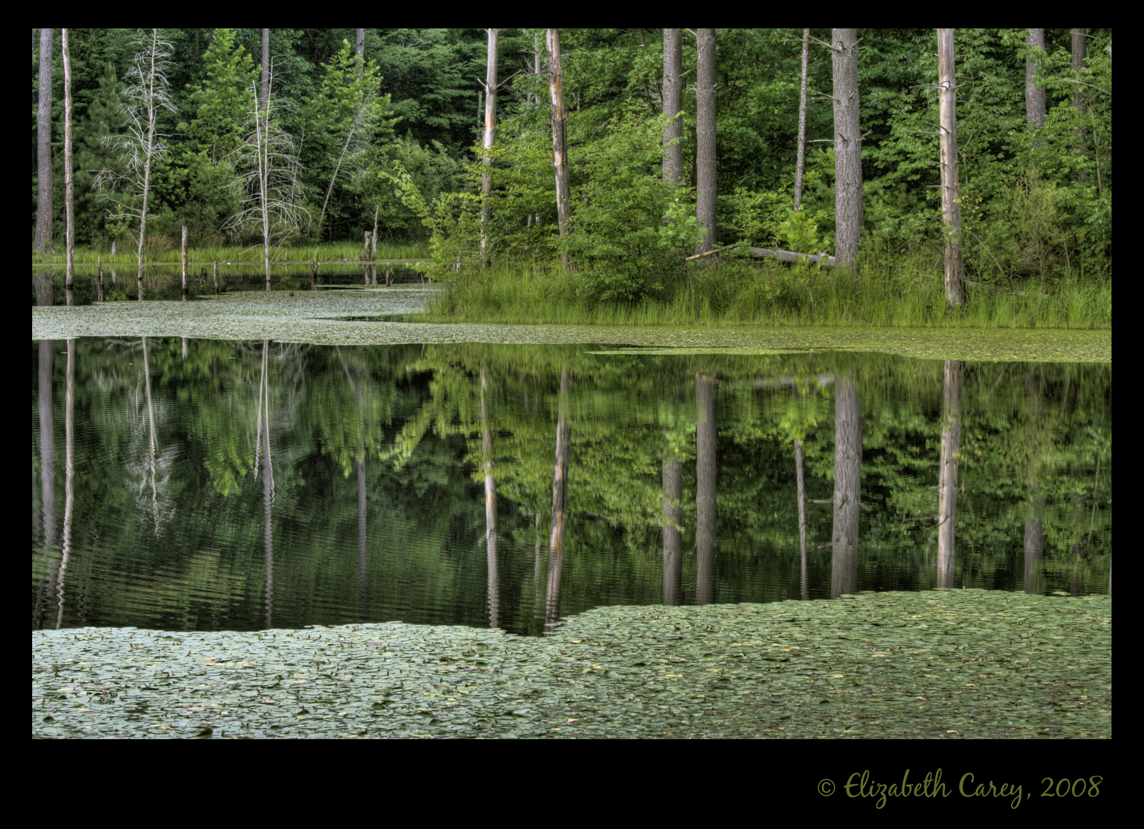
Sundance Reflections
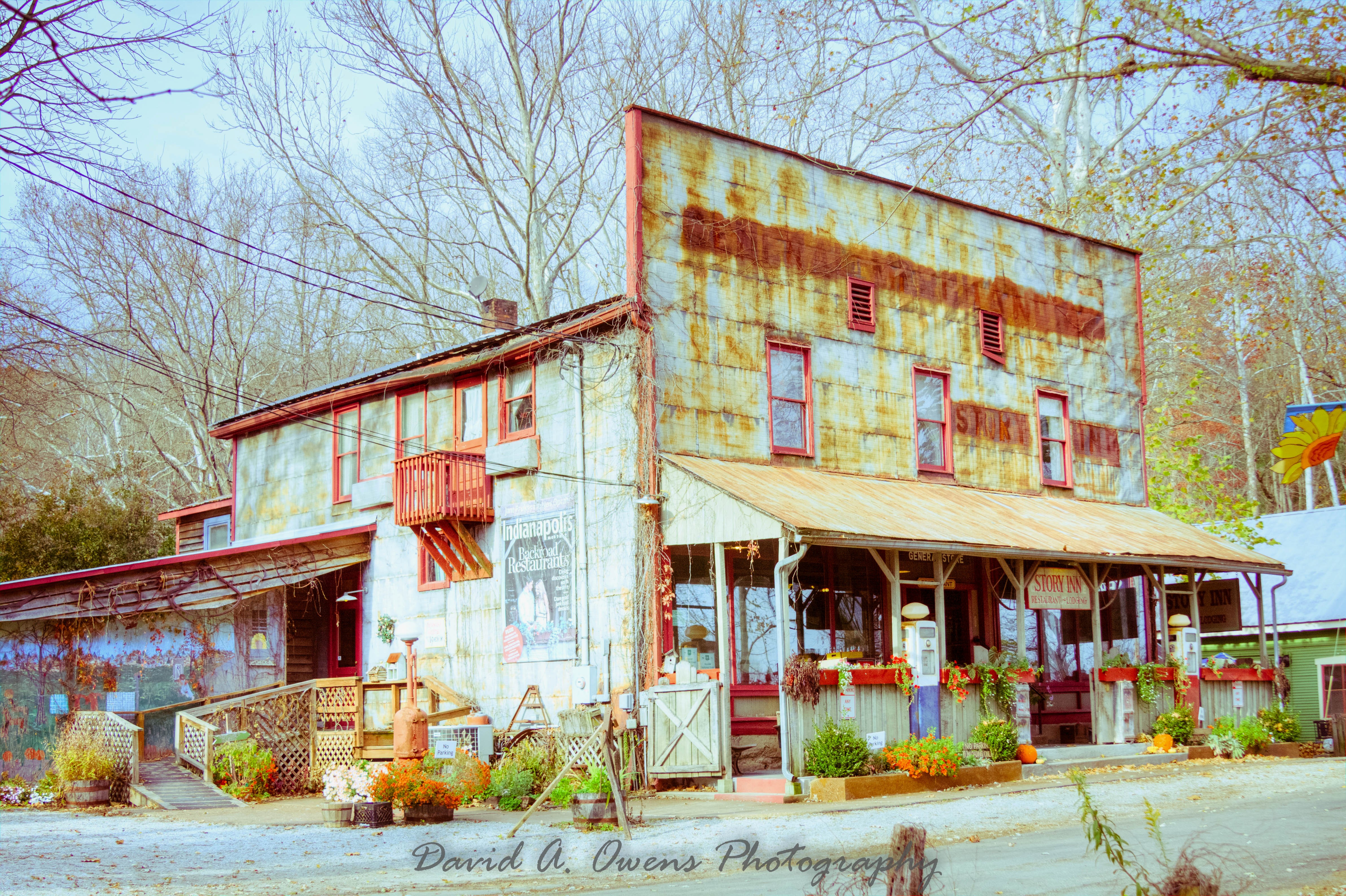
Story Inn Side View Yesteryear Preset

Story Inn Side View Punch Preset

Luna Moth_MG_8030_1

View of the road in front of us ... the boys liked to leave the old men behind !
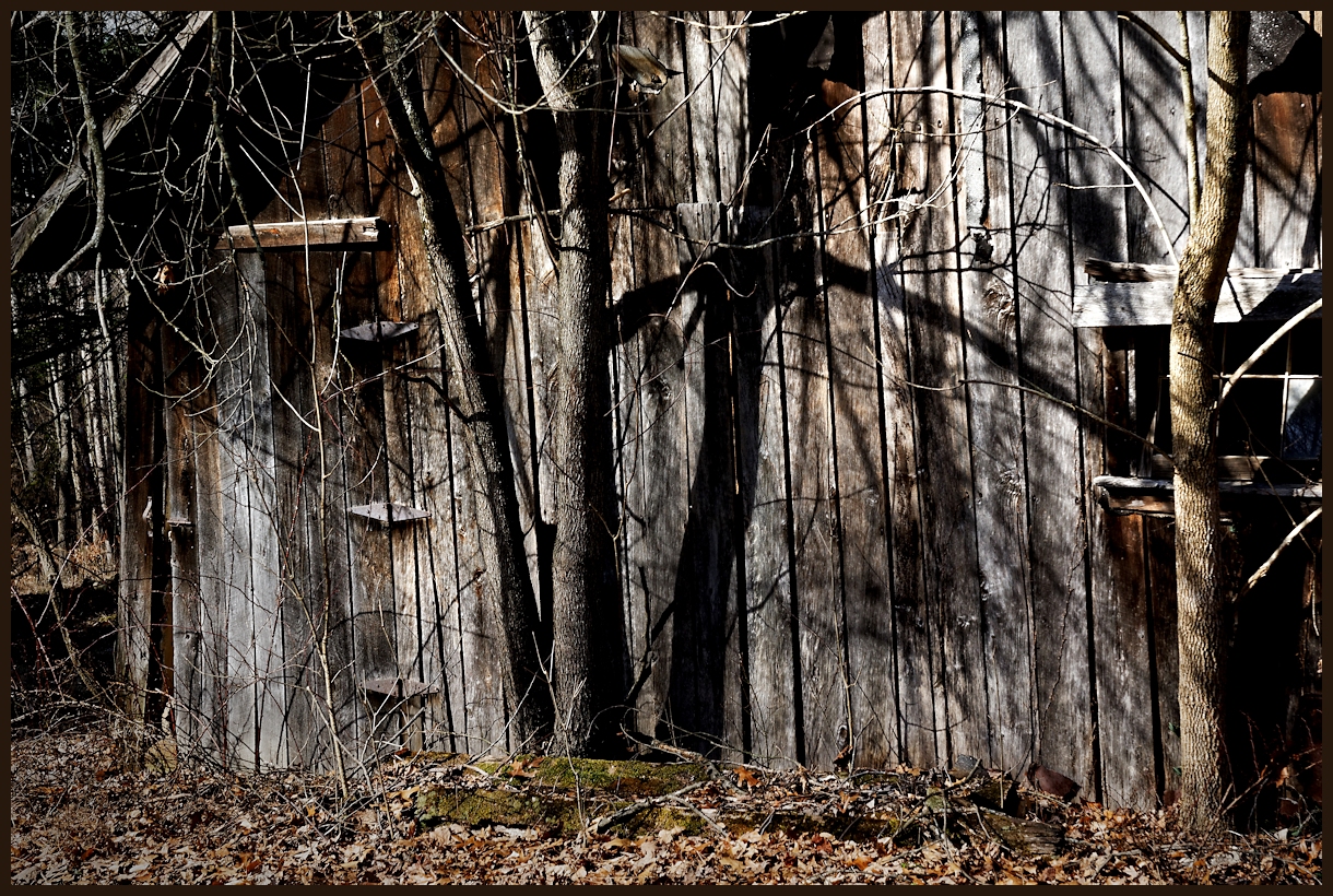
Shadows 5577 w

Looking up at the pines
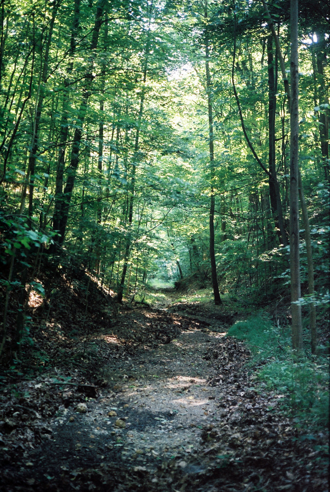
Hiking and Camping In Charles Deam Wilderness Area.
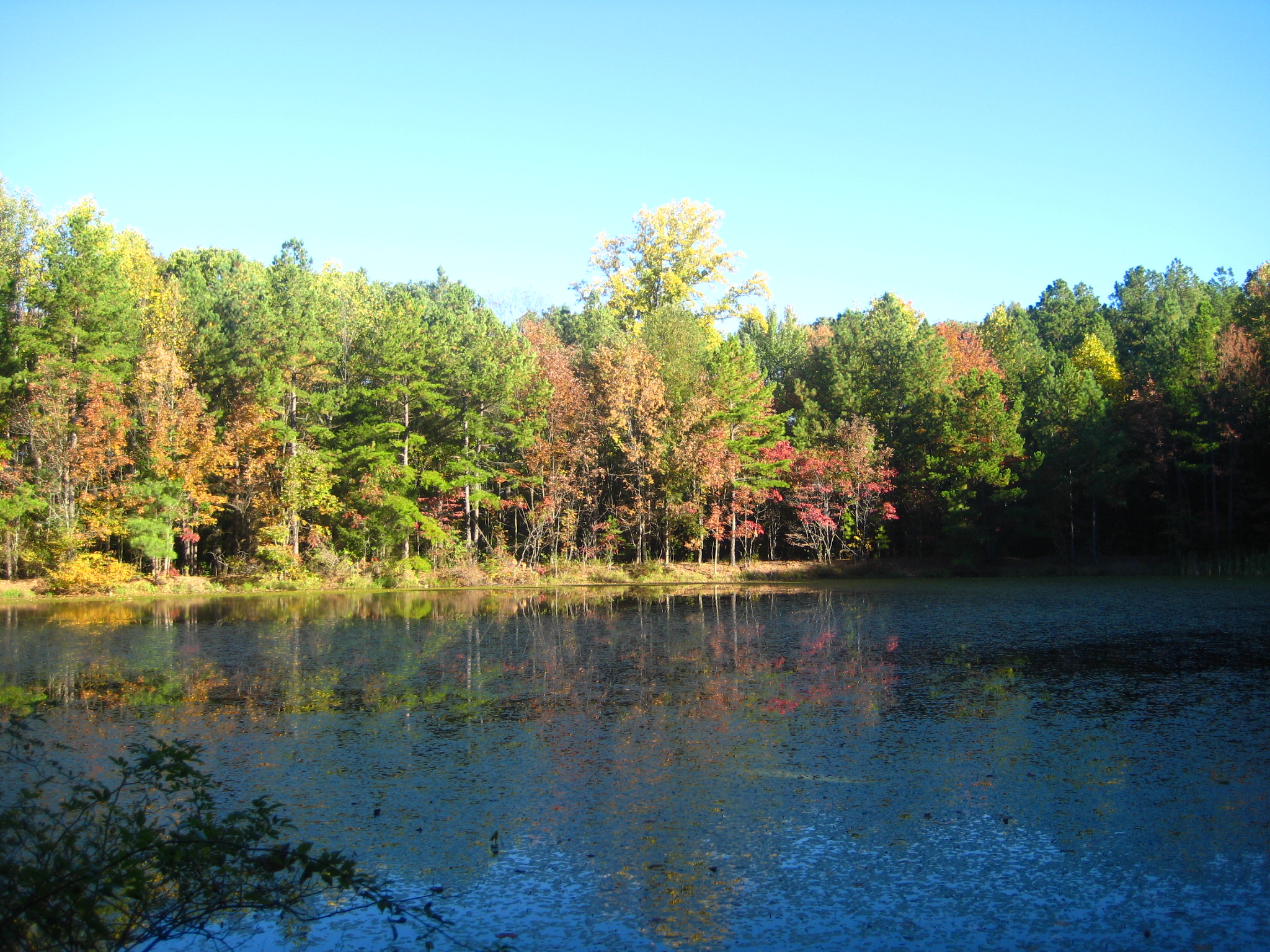
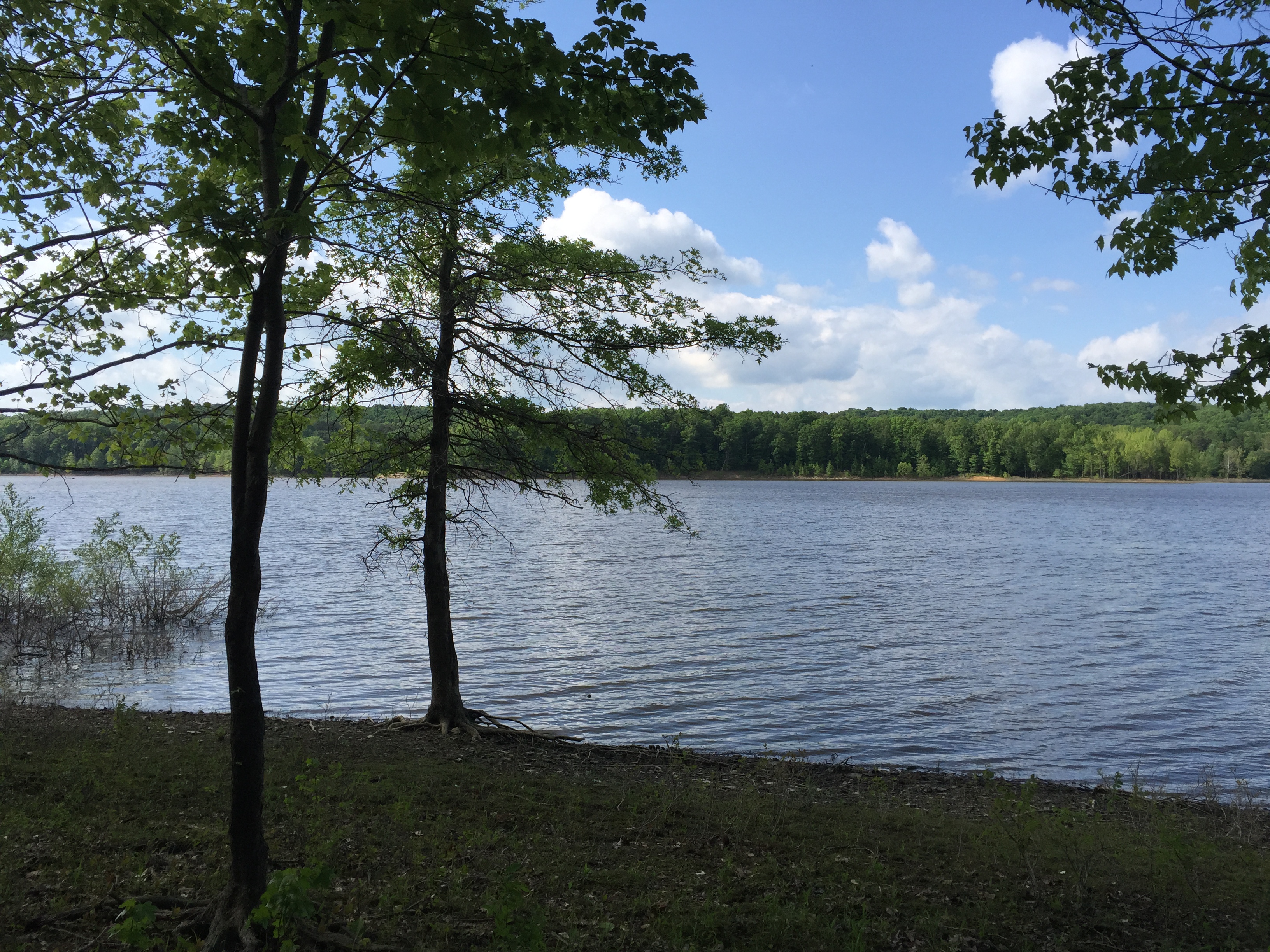
Morning on the Pond
Old Milwaukee - Norman Station, IN
Hiking and Camping In Charles Deam Wilderness Area.

Carolina Wren_MG_6723-1
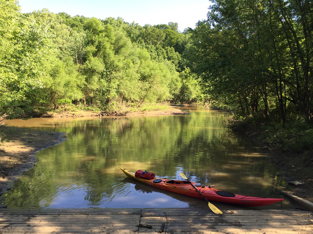
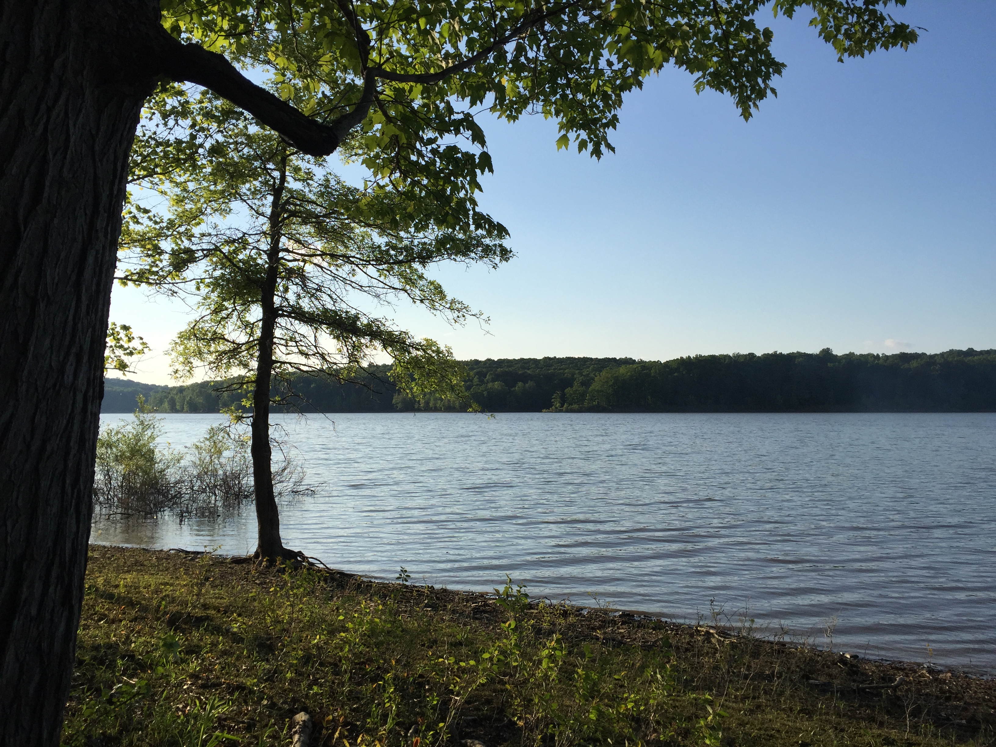
Kayaking Class - Lake Monroe
Topographic Map of Salt Creek Township, IN, USA
Find elevation by address:

Places in Salt Creek Township, IN, USA:
Places near Salt Creek Township, IN, USA:
W County Rd N, Norman, IN, USA
Norman
10090 N County Rd 800 W
N W, Norman, IN, USA
Elkinsville
Freetown, IN, USA
8484 N County Rd 490 W
N Union St, Freetown, IN, USA
Freetown
Hamilton Creek Rd, Columbus, IN, USA
Pleasant Run Township
Pershing Township
Van Buren Township
7800 Deckard Ridge Rd
7800 Deckard Ridge Rd
7800 Deckard Ridge Rd
7800 Deckard Ridge Rd
7800 Deckard Ridge Rd
7800 Deckard Ridge Rd
7800 Deckard Ridge Rd
Recent Searches:
- Elevation of Royal Ontario Museum, Queens Park, Toronto, ON M5S 2C6, Canada
- Elevation of Groblershoop, South Africa
- Elevation of Power Generation Enterprises | Industrial Diesel Generators, Oak Ave, Canyon Country, CA, USA
- Elevation of Chesaw Rd, Oroville, WA, USA
- Elevation of N, Mt Pleasant, UT, USA
- Elevation of 6 Rue Jules Ferry, Beausoleil, France
- Elevation of Sattva Horizon, 4JC6+G9P, Vinayak Nagar, Kattigenahalli, Bengaluru, Karnataka, India
- Elevation of Great Brook Sports, Gold Star Hwy, Groton, CT, USA
- Elevation of 10 Mountain Laurels Dr, Nashua, NH, USA
- Elevation of 16 Gilboa Ln, Nashua, NH, USA