Elevation of Pershing Township, IN, USA
Location: United States > Indiana > Jackson County >
Longitude: -86.114104
Latitude: 39.0273837
Elevation: 258m / 846feet
Barometric Pressure: 98KPa
Elevation Map:
Satellite Map:
Related Photos:
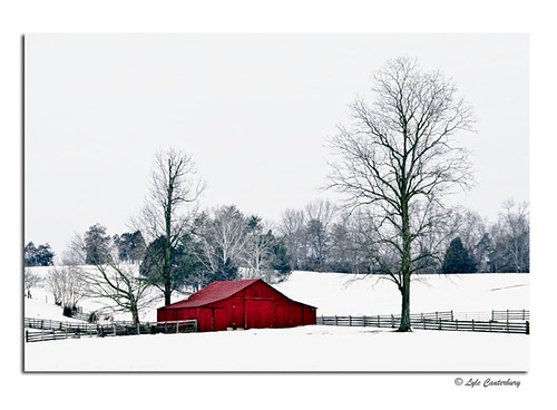
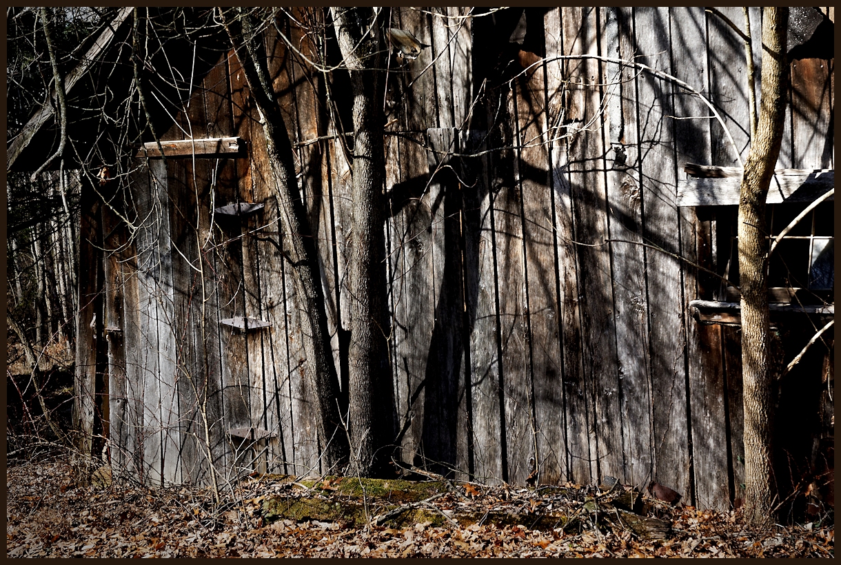
Cold Red Barn
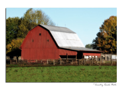
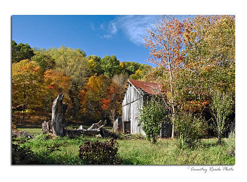
Jackson County Red Barn
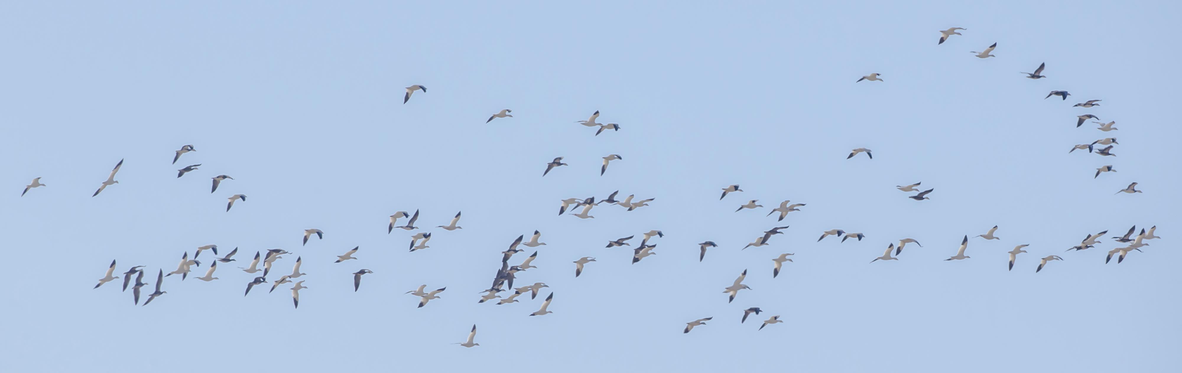
SNOW GEESE over EWING BOTTOMS, INDIANA
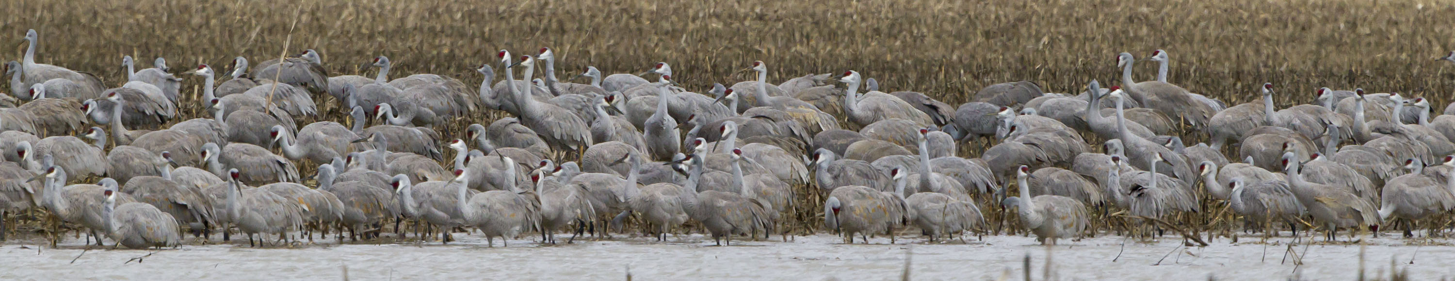
SANDHILL CRANES
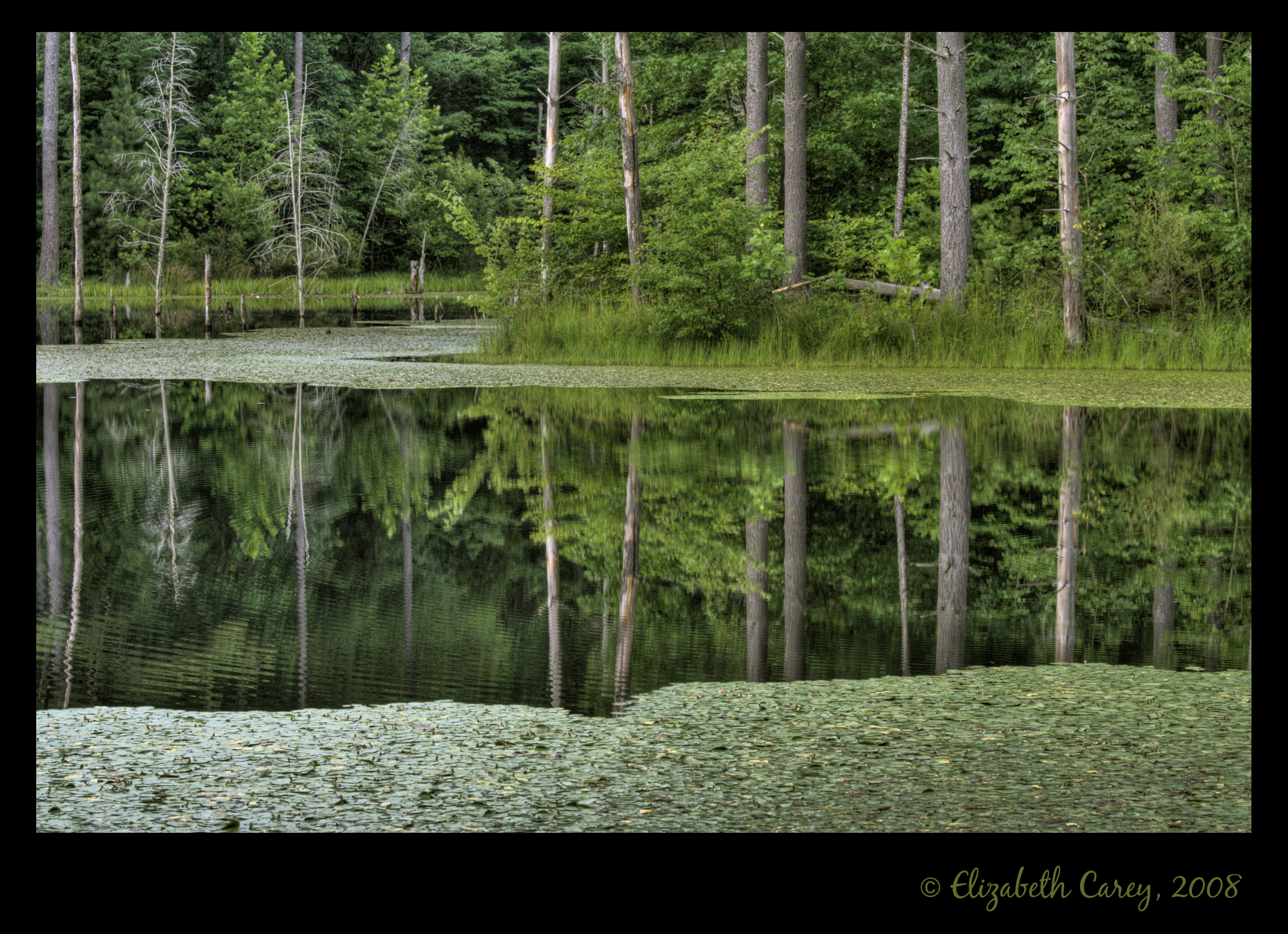
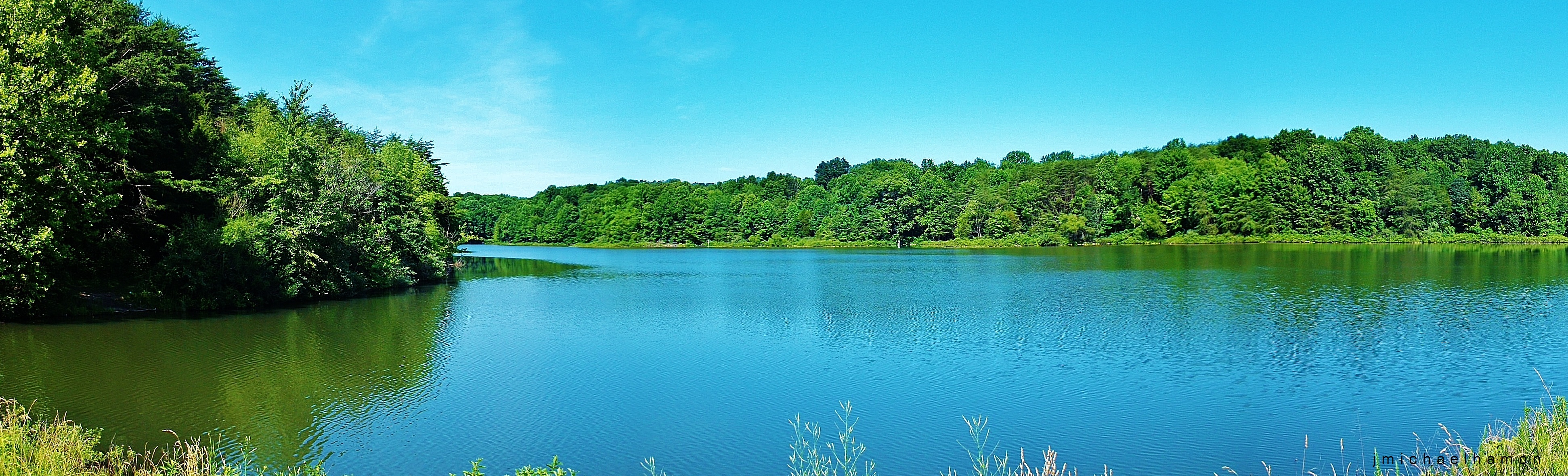
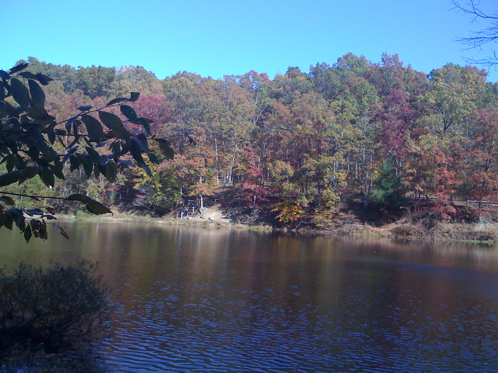
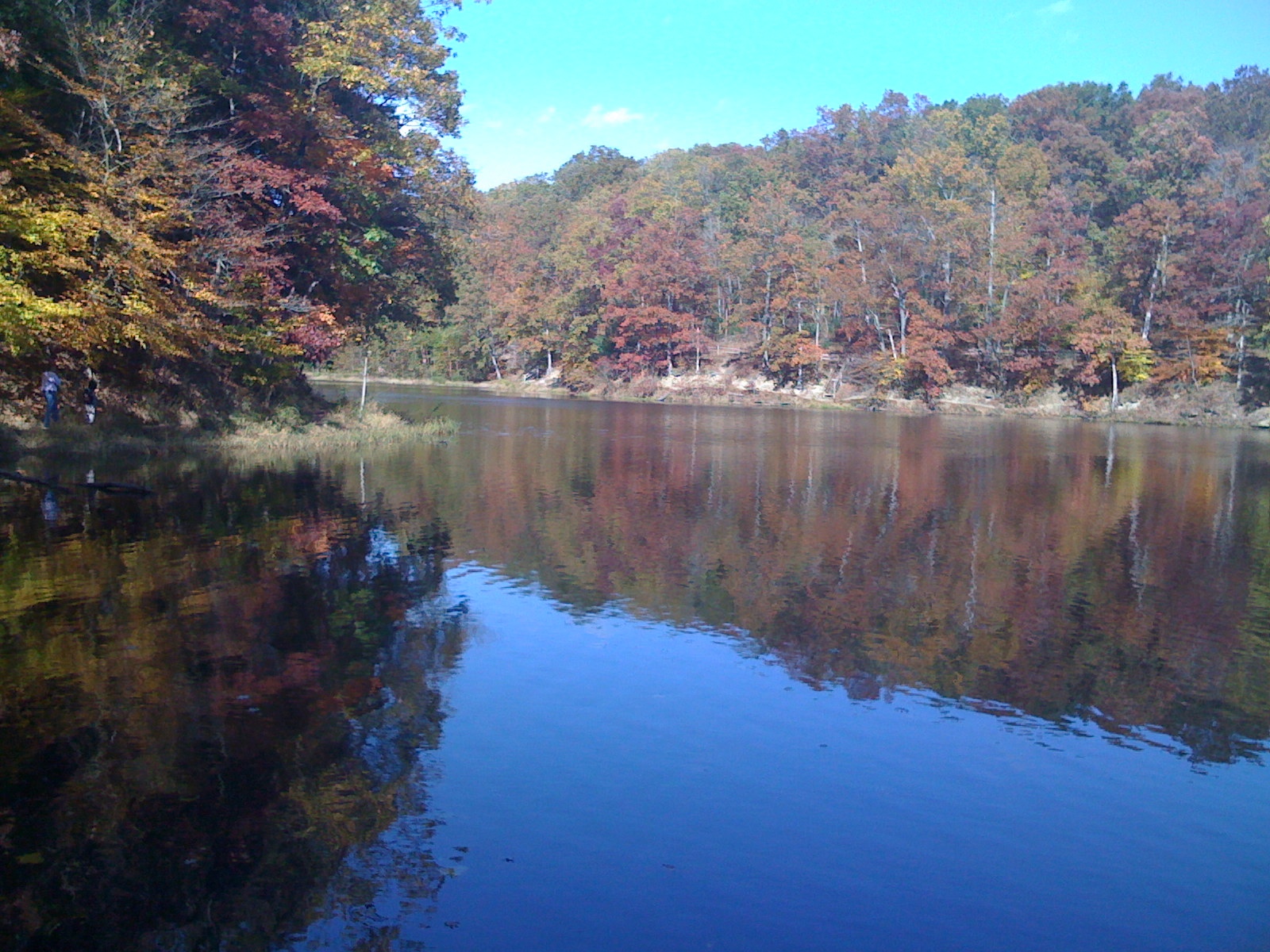
Sundance Reflections

SANDHILL CRANE - BANDED JUVENILE

SANDHILL CRANES
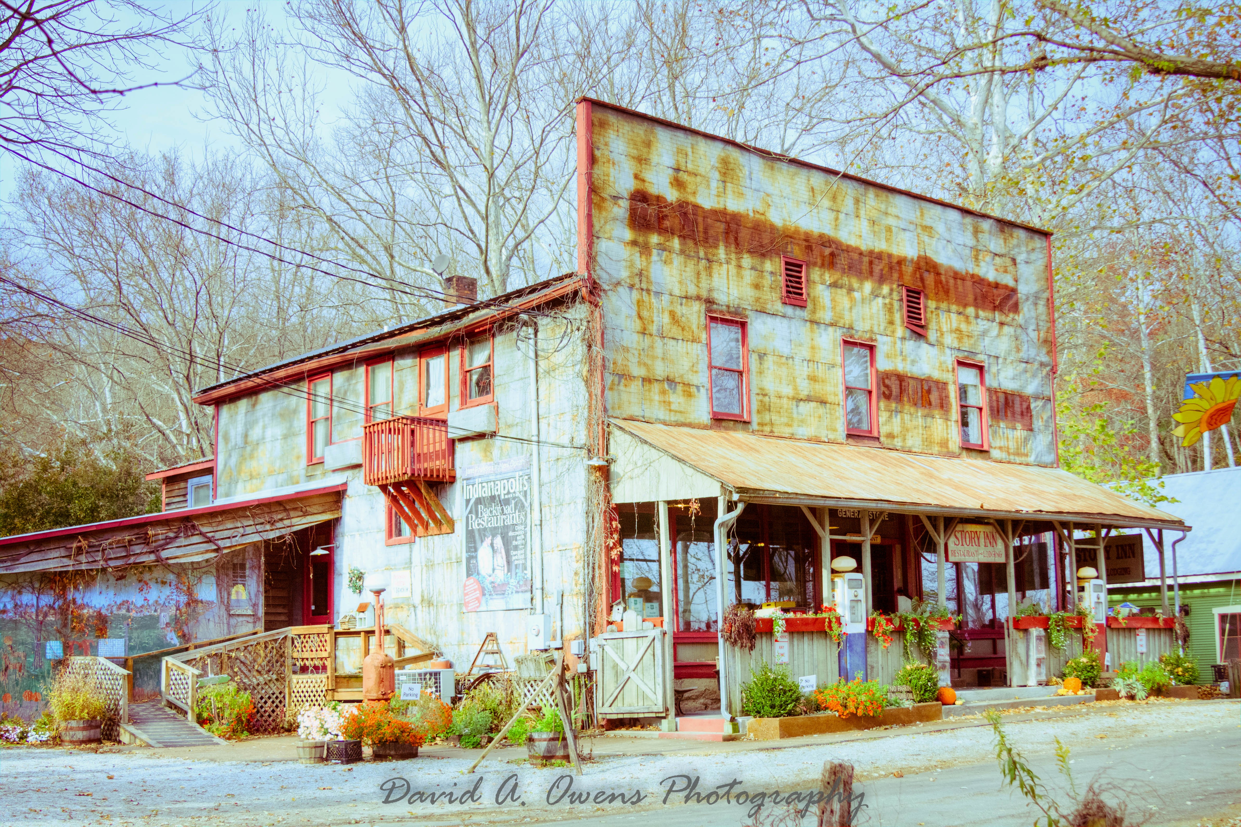
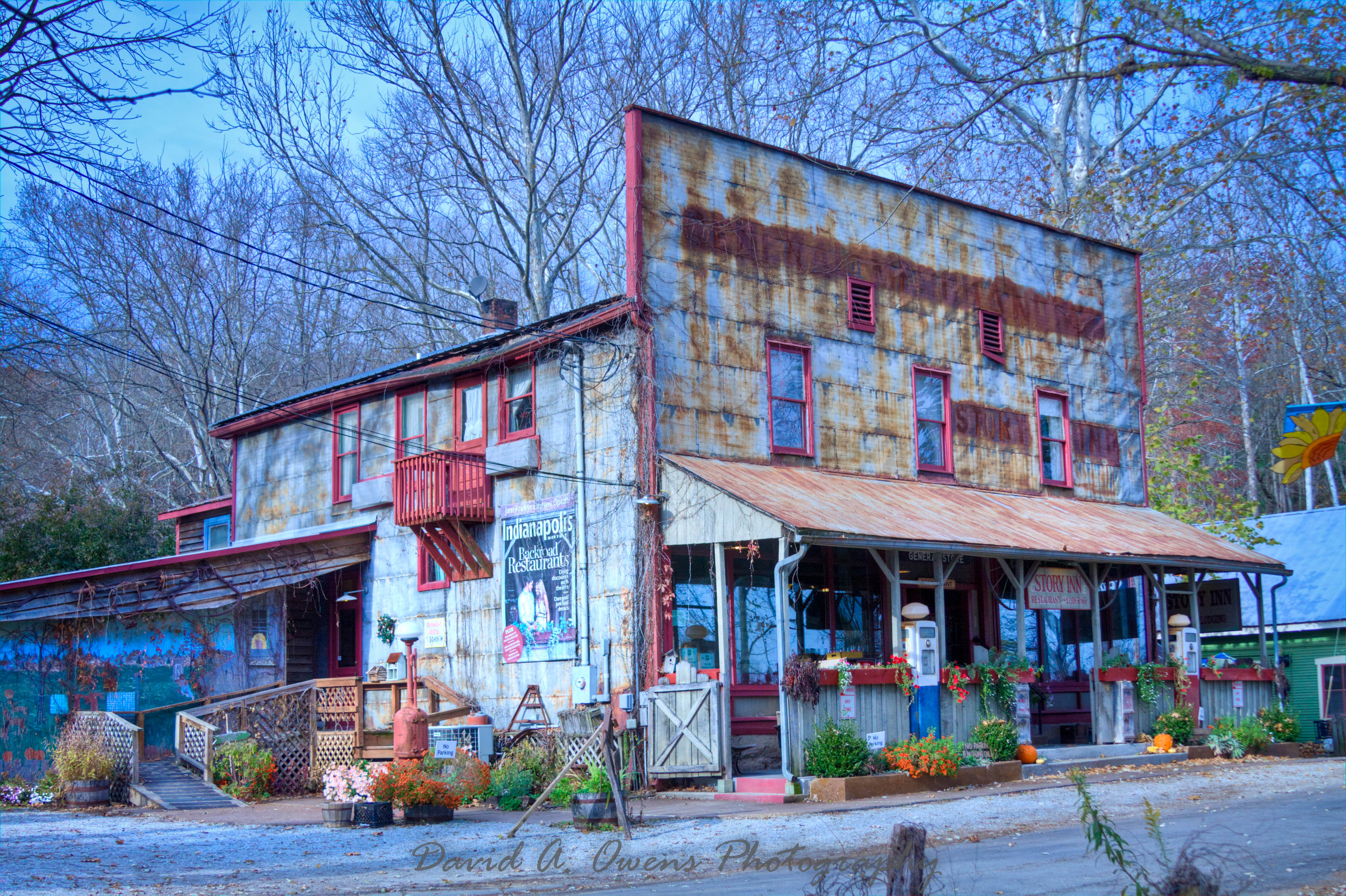
Story Inn Side View Yesteryear Preset
SANDHILL CRANES at EWING BOTTOMS INDIANA
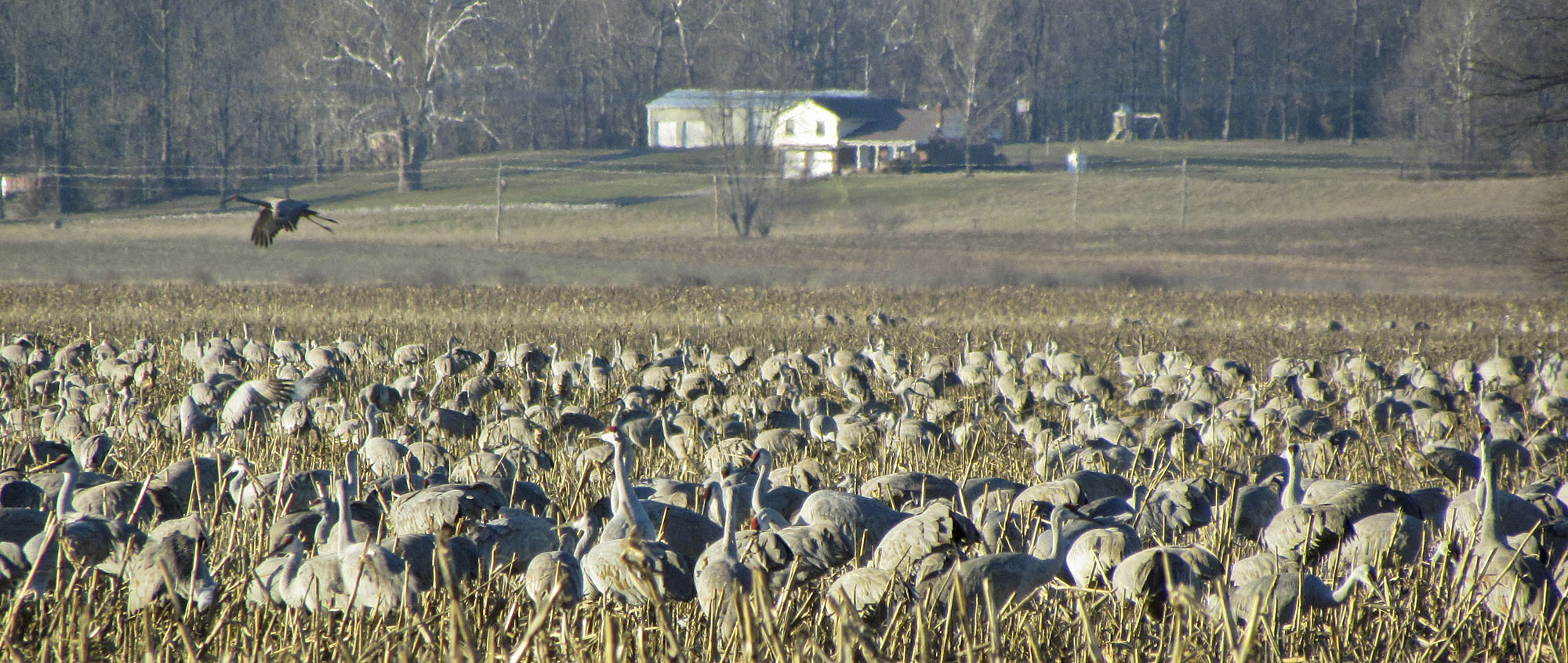
SANDHILL CRANES at EWING BOTTOMS INDIANA
Story Inn Side View Punch Preset
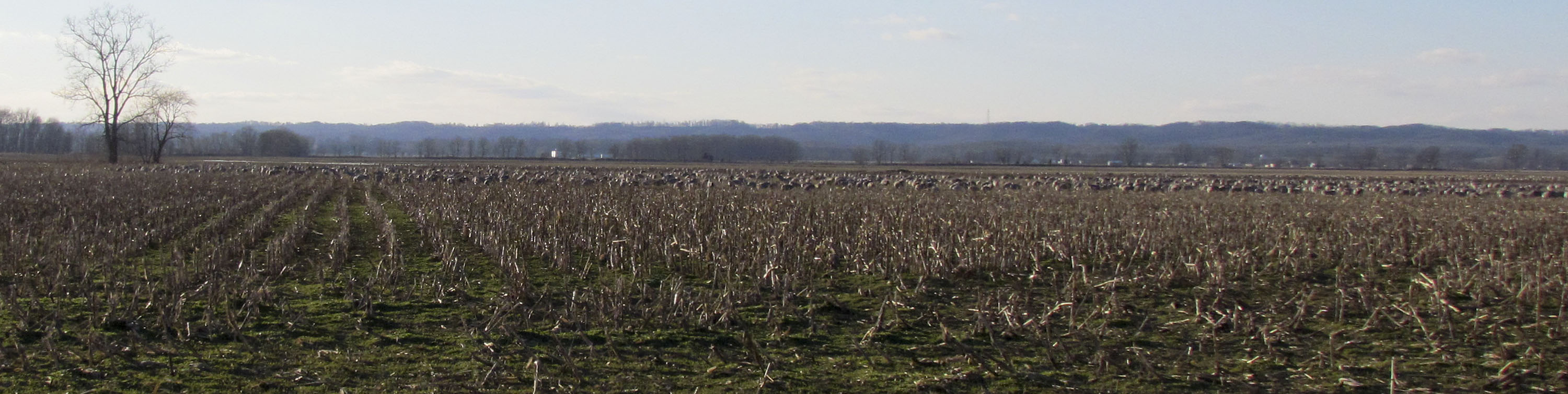
SANDHILL CRANES at EWING BOTTOMS INDIANA
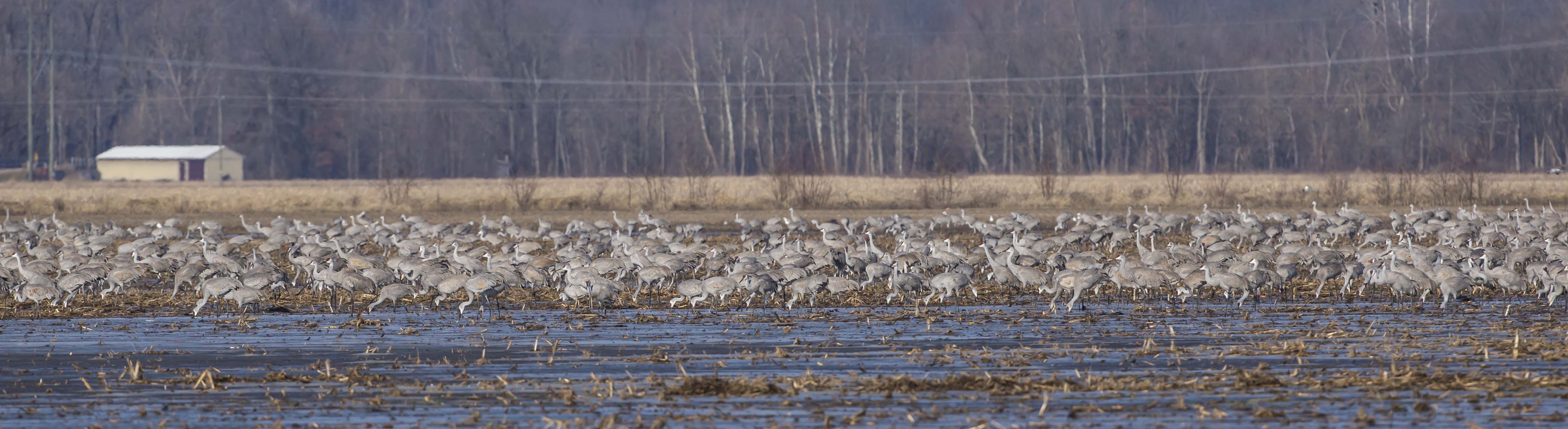
SANDHILL CRANES at EWING BOTTOMS, INDIANA
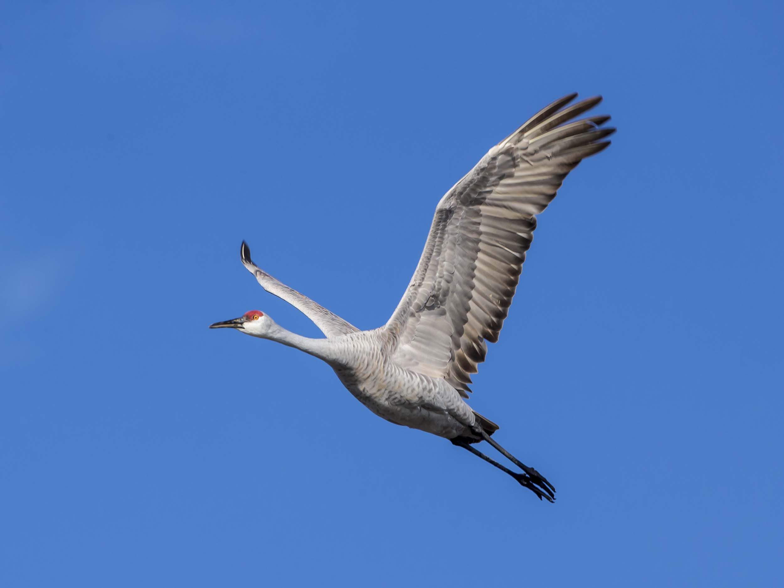
SANDHILL CRANE
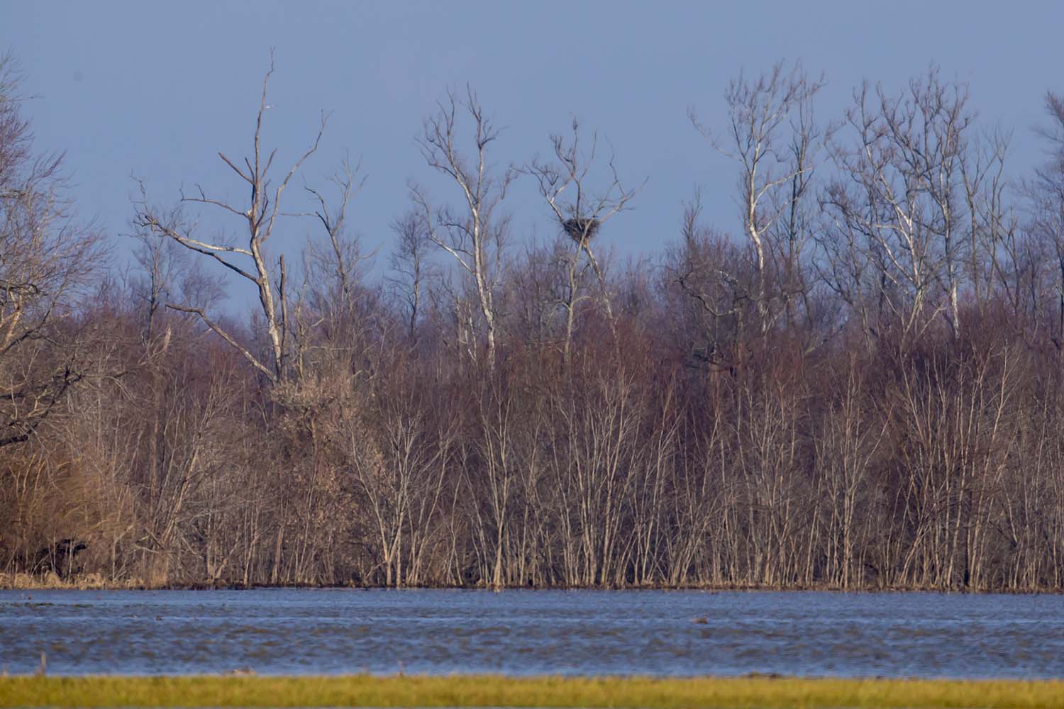
BALD EAGLE NEST
Grouse Ridge

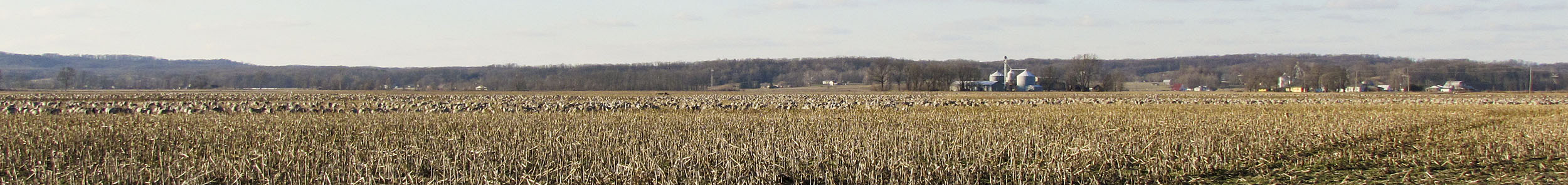
16 IMAGE PANORAMA OF SANDHILL CRANES
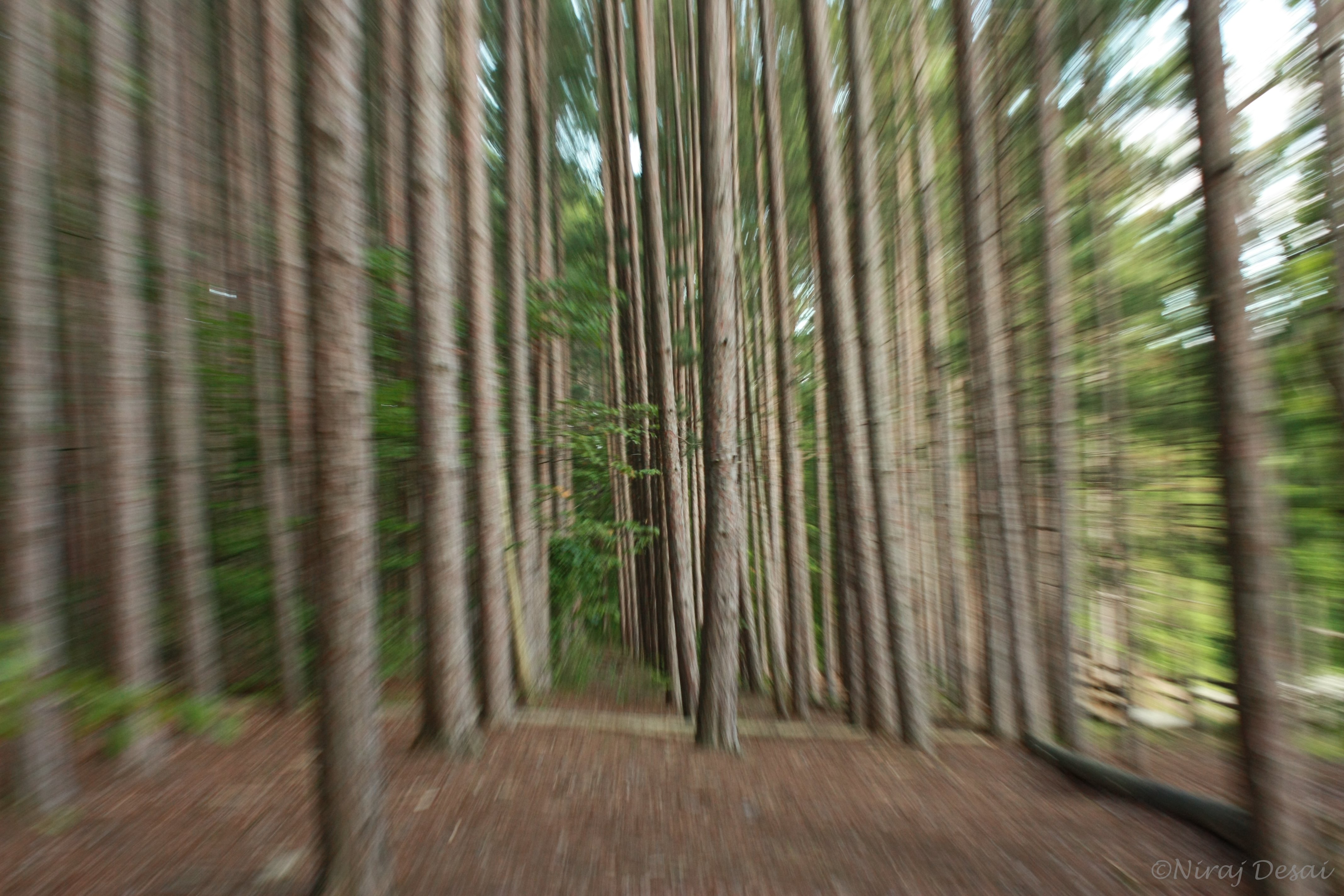
Flying through the trees

Worm's landscape
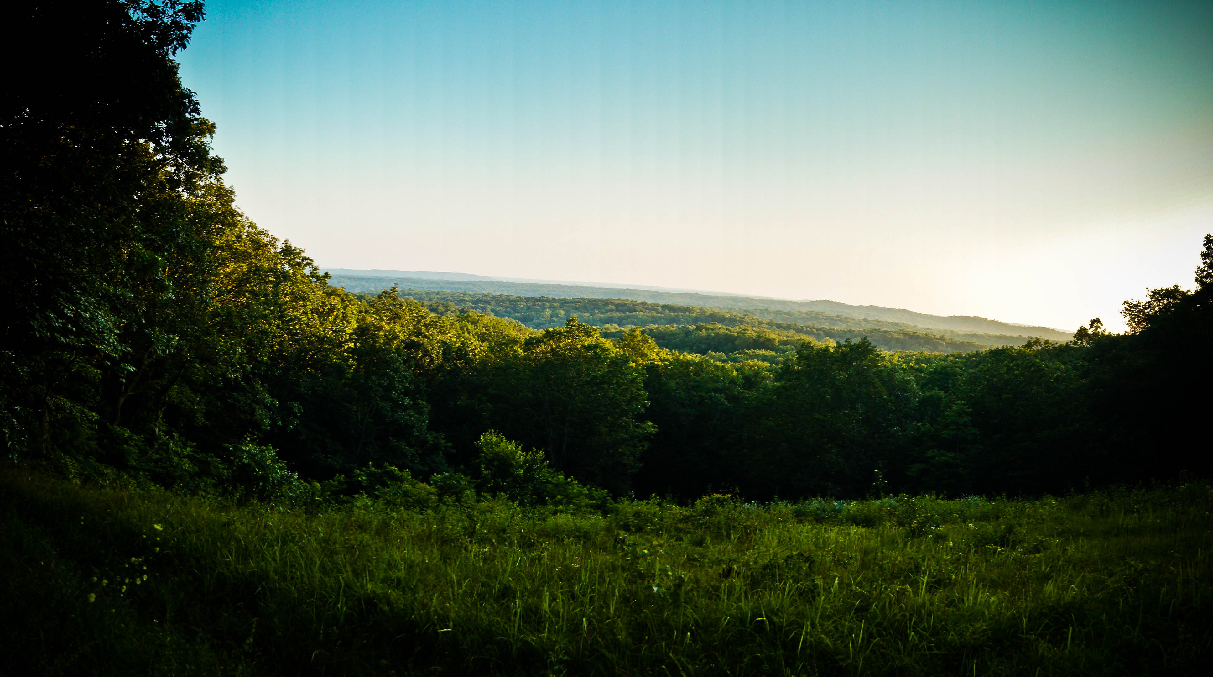
Vista view

Giant Swallowtail - Woohoo! Yard and Life First
Shadows 5577 w
Brown County Barn

Sunset@Jan 9 2012
Old Milwaukee - Norman Station, IN

SANDHILL CRANES

SANDHILL CRANE - LEUCISTIC
DSC01134 (1)road
Stahl lake at BC State Park
DSC01135 (1)creek
Fall colors came out to greet us
DSC01136 (1)road
DSC01149 (1)open space 2
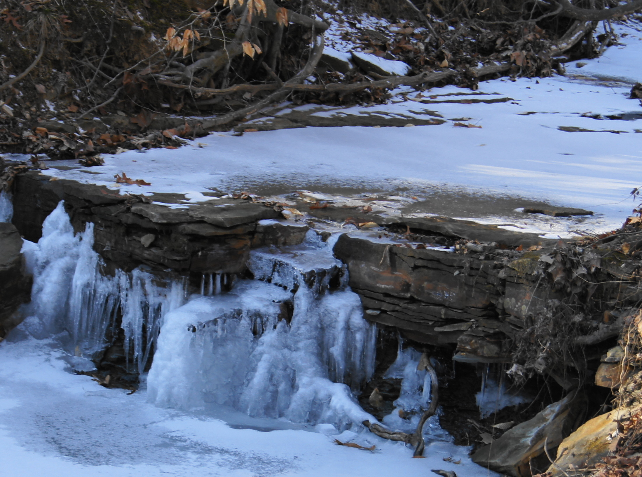
DSC01152 (1)falls (1)crop

DSC01149 (1)open space 2

Brown County
DSC01147 (1)where is it
DSC01150 (1)falls
DSC01152 (1)falls (1)crop (1)close
Topographic Map of Pershing Township, IN, USA
Find elevation by address:

Places in Pershing Township, IN, USA:
Places near Pershing Township, IN, USA:
Mt Liberty Rd, Nashville, IN, USA
W Youth Camp Rd, Columbus, IN, USA
9743 W 225 S
8491 Old Nashville Rd
13610 W 50 S
7988 State Rd 46
9151 W Youth Camp Rd
Harrison Township
15440 S 50 W
915 Westlake Hills Dr
Tipton Lakes Community Association
2993 Wild Orchid Way
Wayne Township
2915 Wandering Way
S 50 W, Columbus, IN, USA
IN-11, Seymour, IN, USA
E S, Columbus, IN, USA
3465 Jonesville Rd
Jonesville Rd, Columbus, IN, USA
Columbus Township
Recent Searches:
- Elevation of Corso Fratelli Cairoli, 35, Macerata MC, Italy
- Elevation of Tallevast Rd, Sarasota, FL, USA
- Elevation of 4th St E, Sonoma, CA, USA
- Elevation of Black Hollow Rd, Pennsdale, PA, USA
- Elevation of Oakland Ave, Williamsport, PA, USA
- Elevation of Pedrógão Grande, Portugal
- Elevation of Klee Dr, Martinsburg, WV, USA
- Elevation of Via Roma, Pieranica CR, Italy
- Elevation of Tavkvetili Mountain, Georgia
- Elevation of Hartfords Bluff Cir, Mt Pleasant, SC, USA