Elevation of N W, Norman, IN, USA
Location: United States > Indiana > Jackson County > Salt Creek Township > Norman >
Longitude: -86.176872
Latitude: 39.023442
Elevation: 182m / 597feet
Barometric Pressure: 99KPa
Elevation Map:
Satellite Map:
Related Photos:
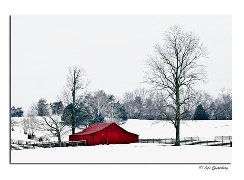
Cold Red Barn
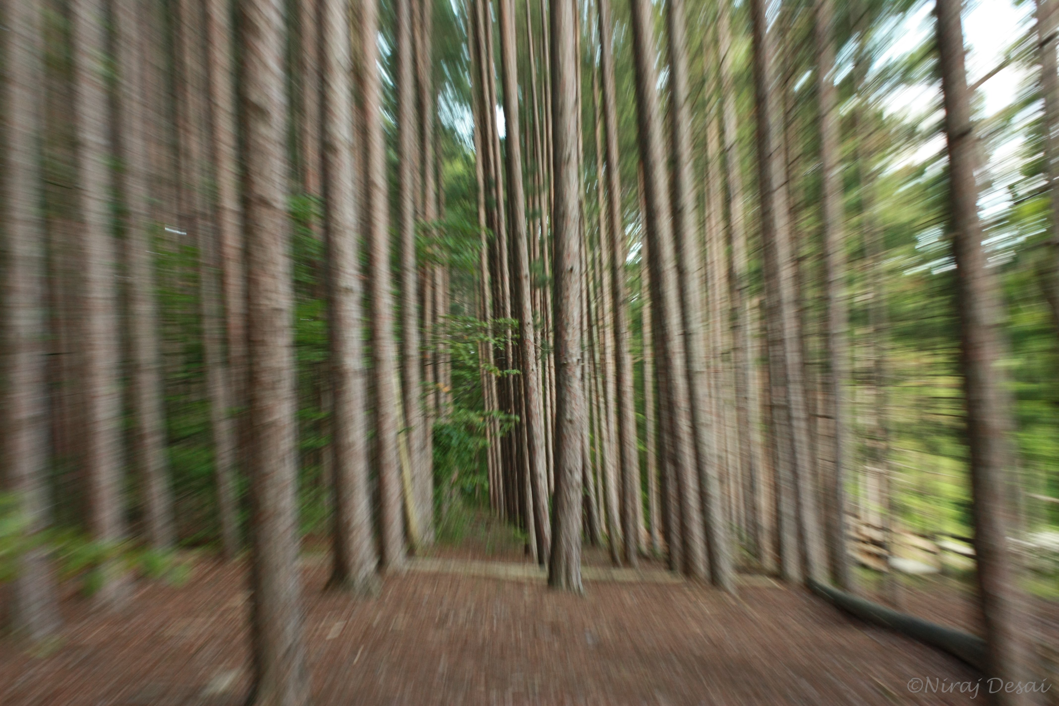
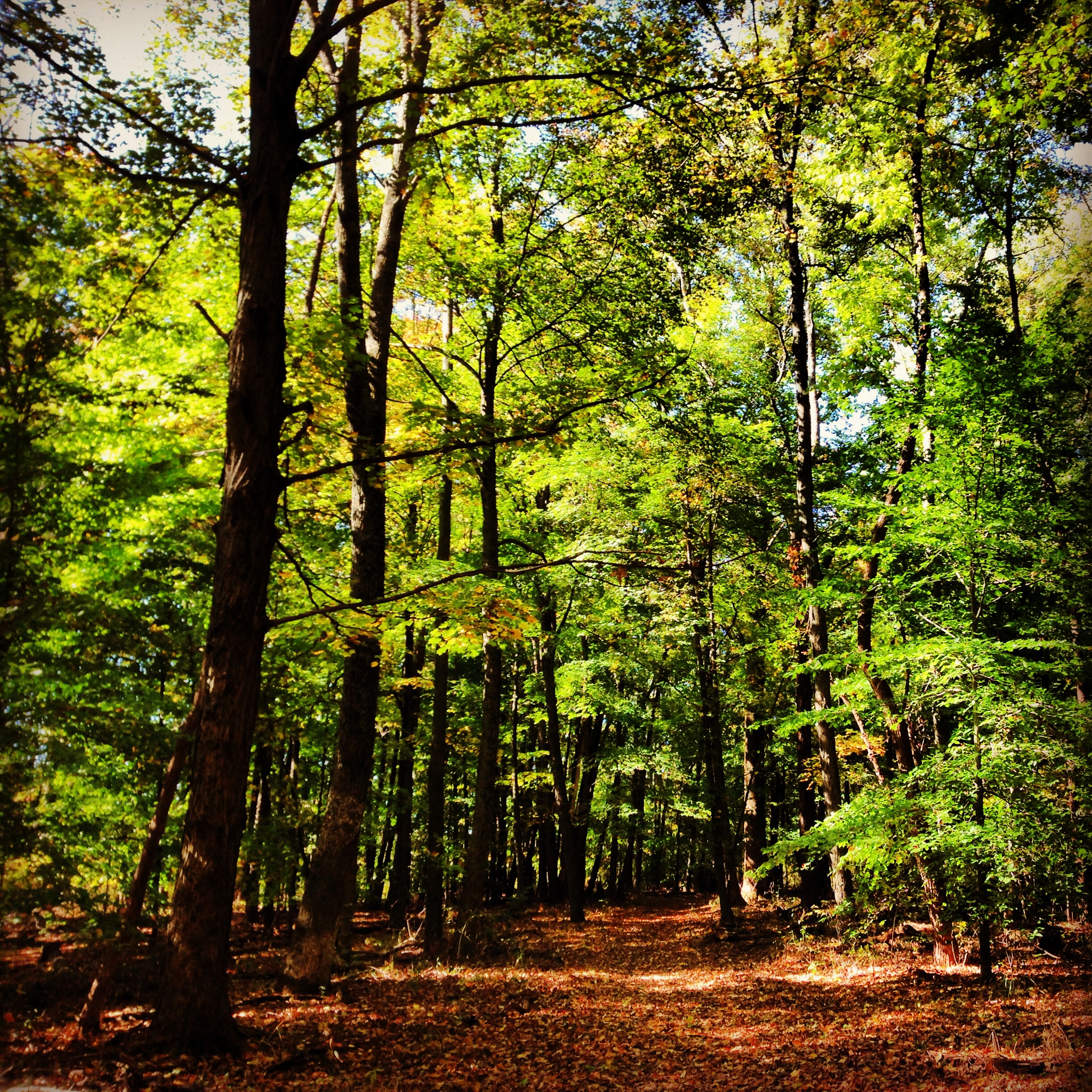
Flying through the trees
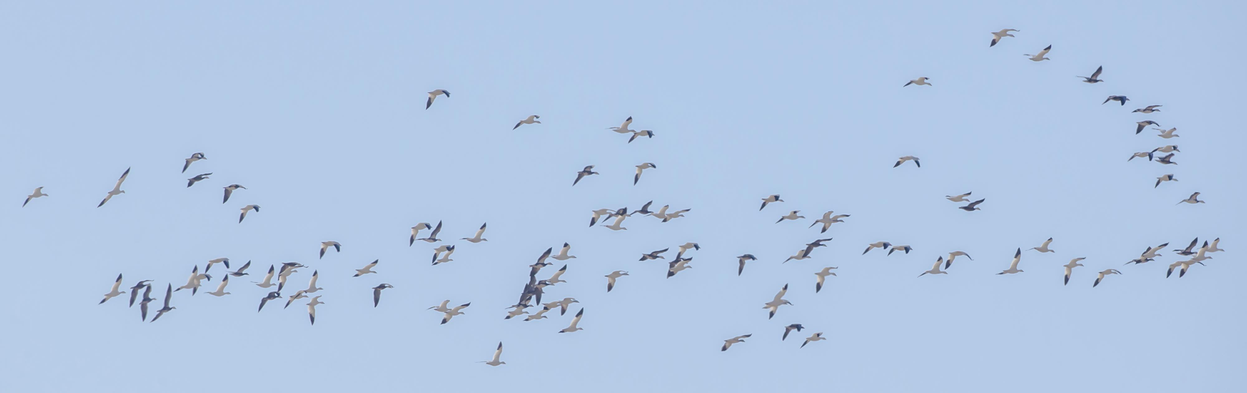
SNOW GEESE over EWING BOTTOMS, INDIANA

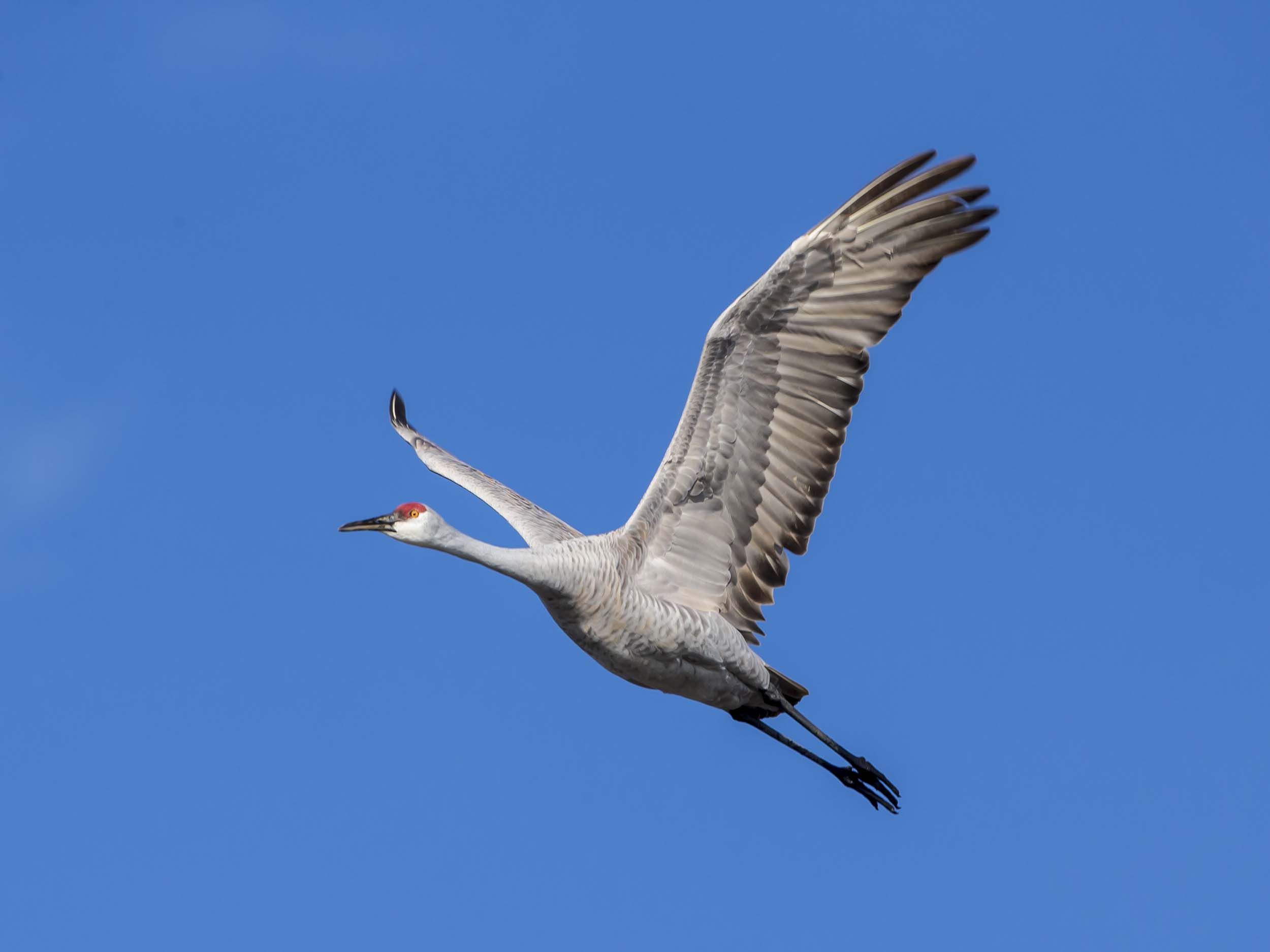
SANDHILL CRANE - BANDED JUVENILE
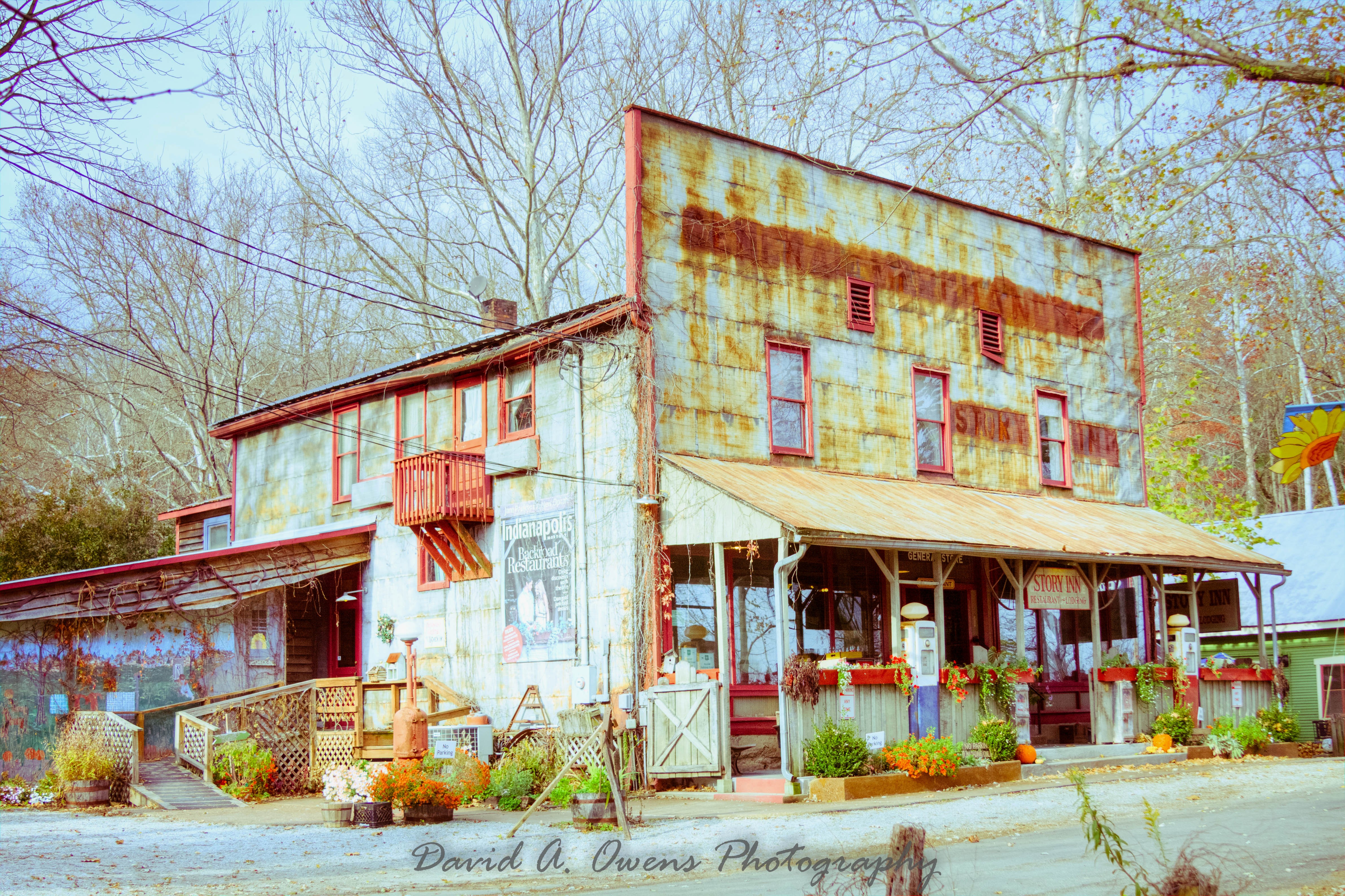
Story Inn Side View Yesteryear Preset

Worm's landscape
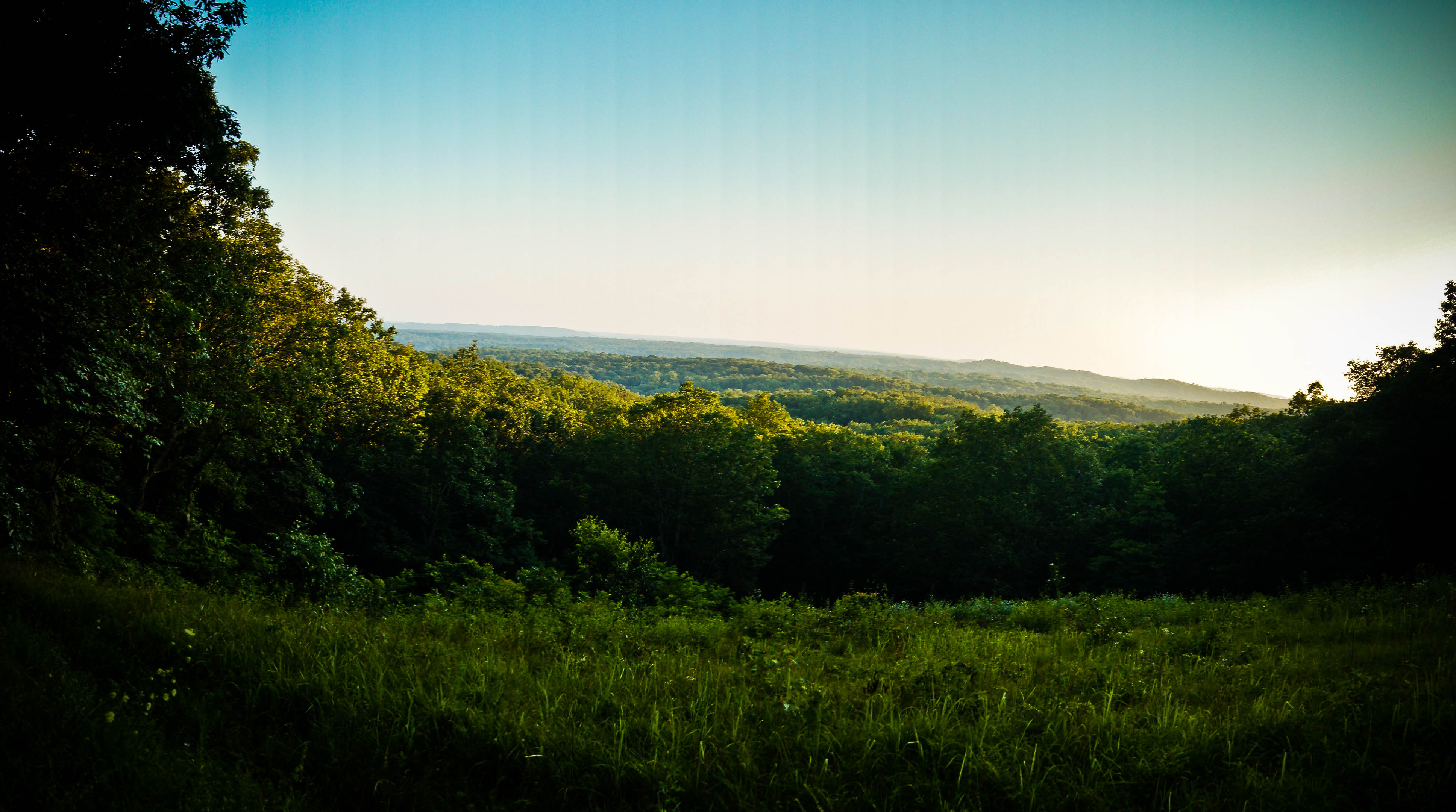
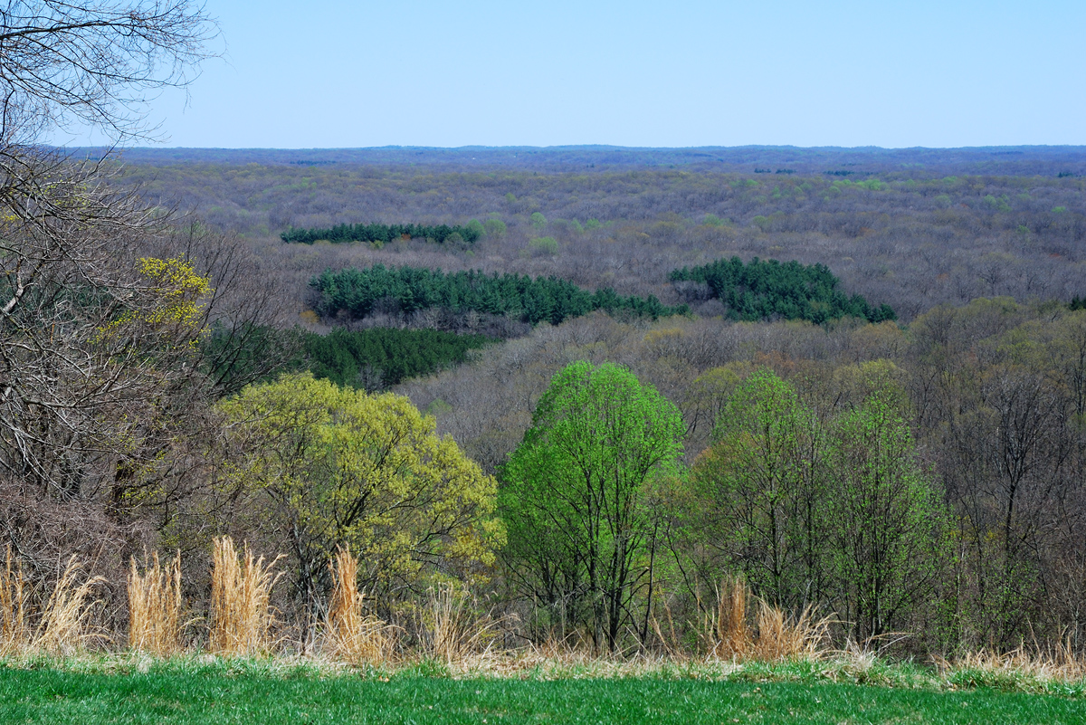
Vista view
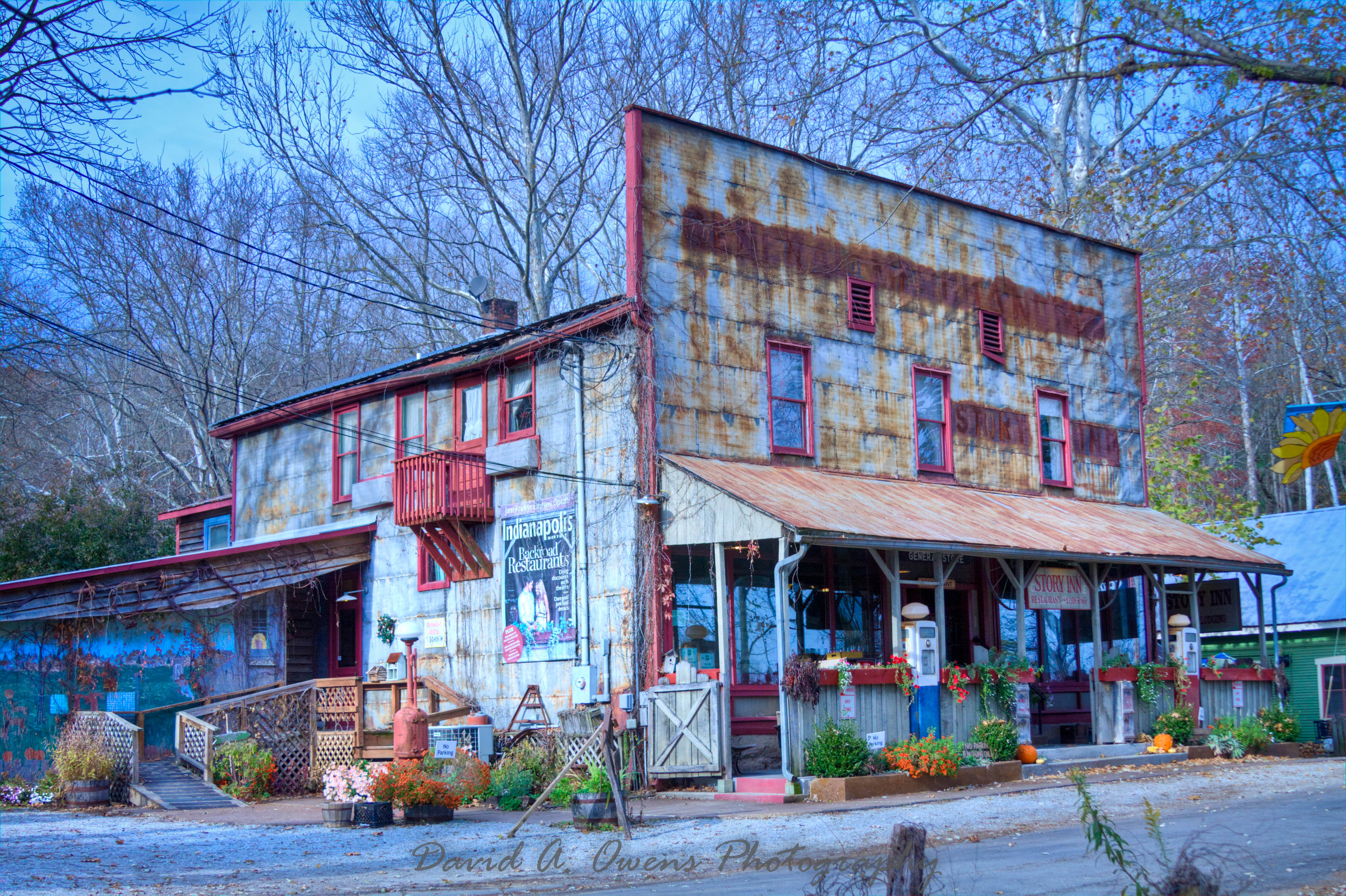
Story Inn Side View Punch Preset
Another View by Playing Field
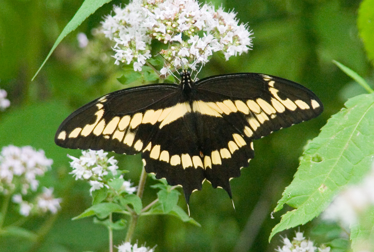
Giant Swallowtail - Woohoo! Yard and Life First

Euphorbia bug
SANDHILL CRANE
Grouse Ridge
SANDHILL CRANES at EWING BOTTOMS, INDIANA
My view for the evening.

FOOD!

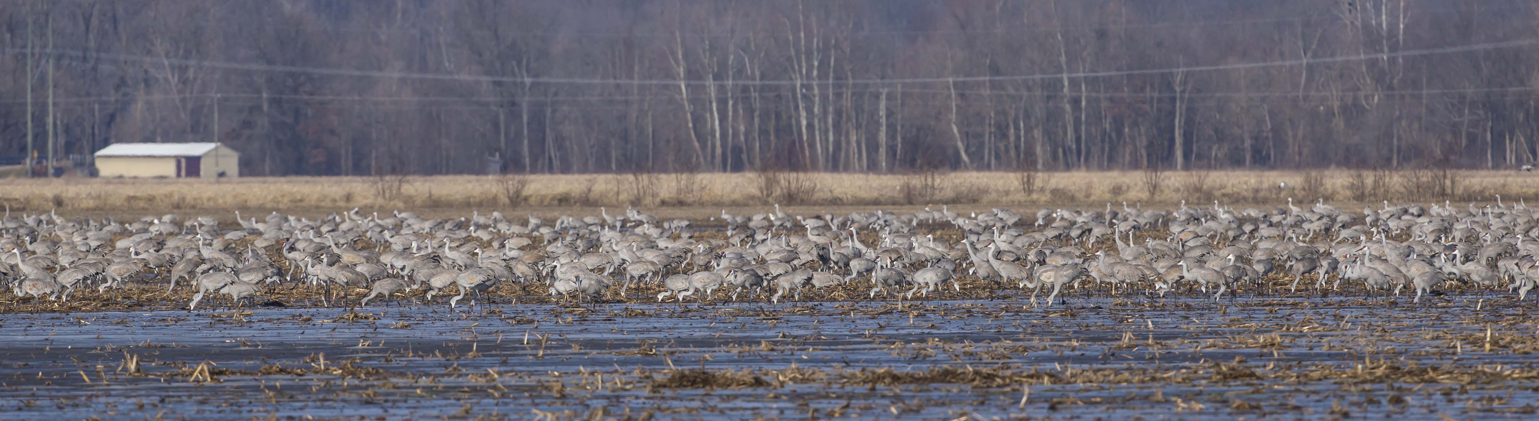
16 IMAGE PANORAMA OF SANDHILL CRANES
Sundance Reflections
View by Playing Field
Shadows 5577 w
Beaver Dam Ogle Lake 5032 w
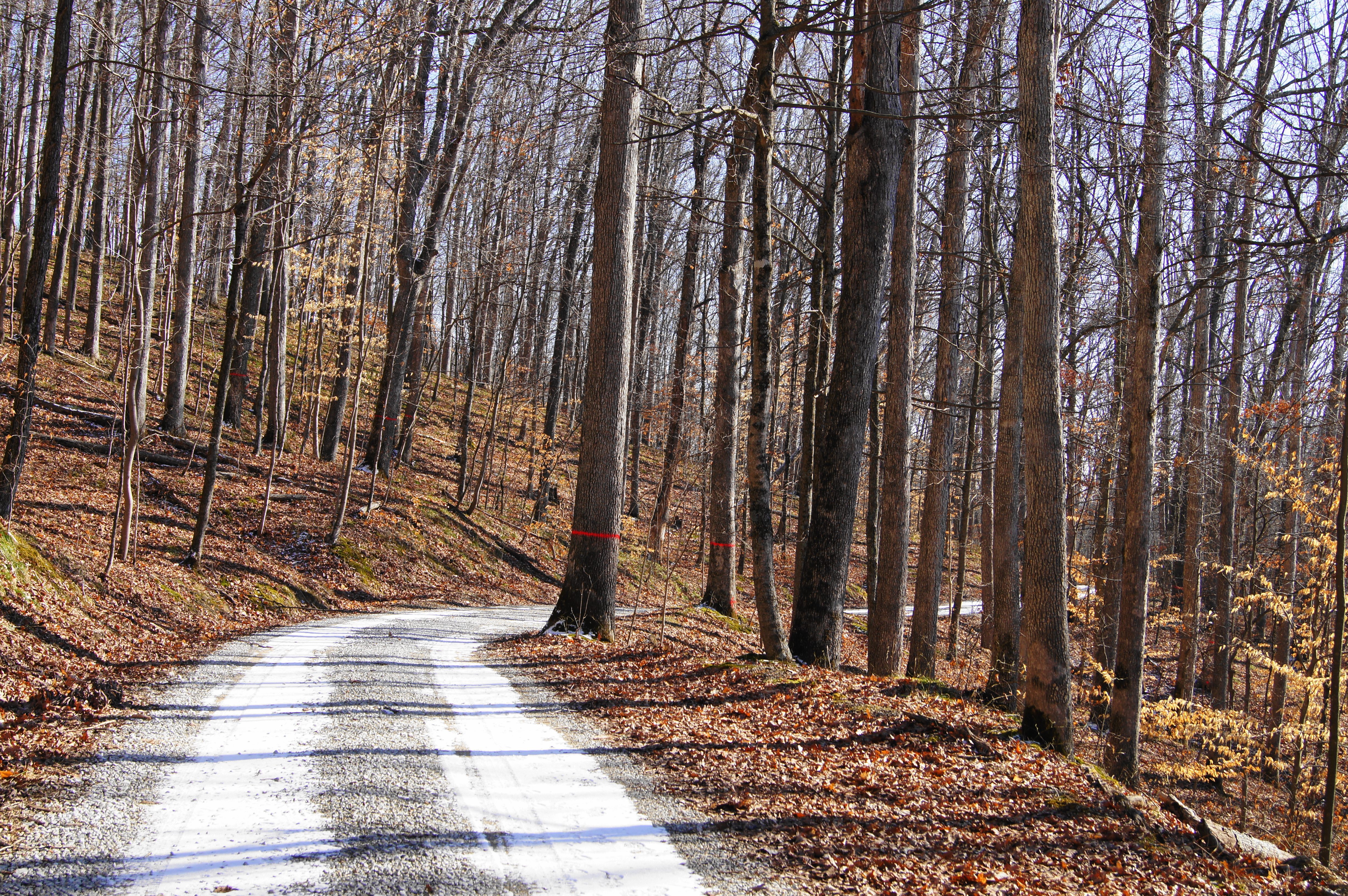
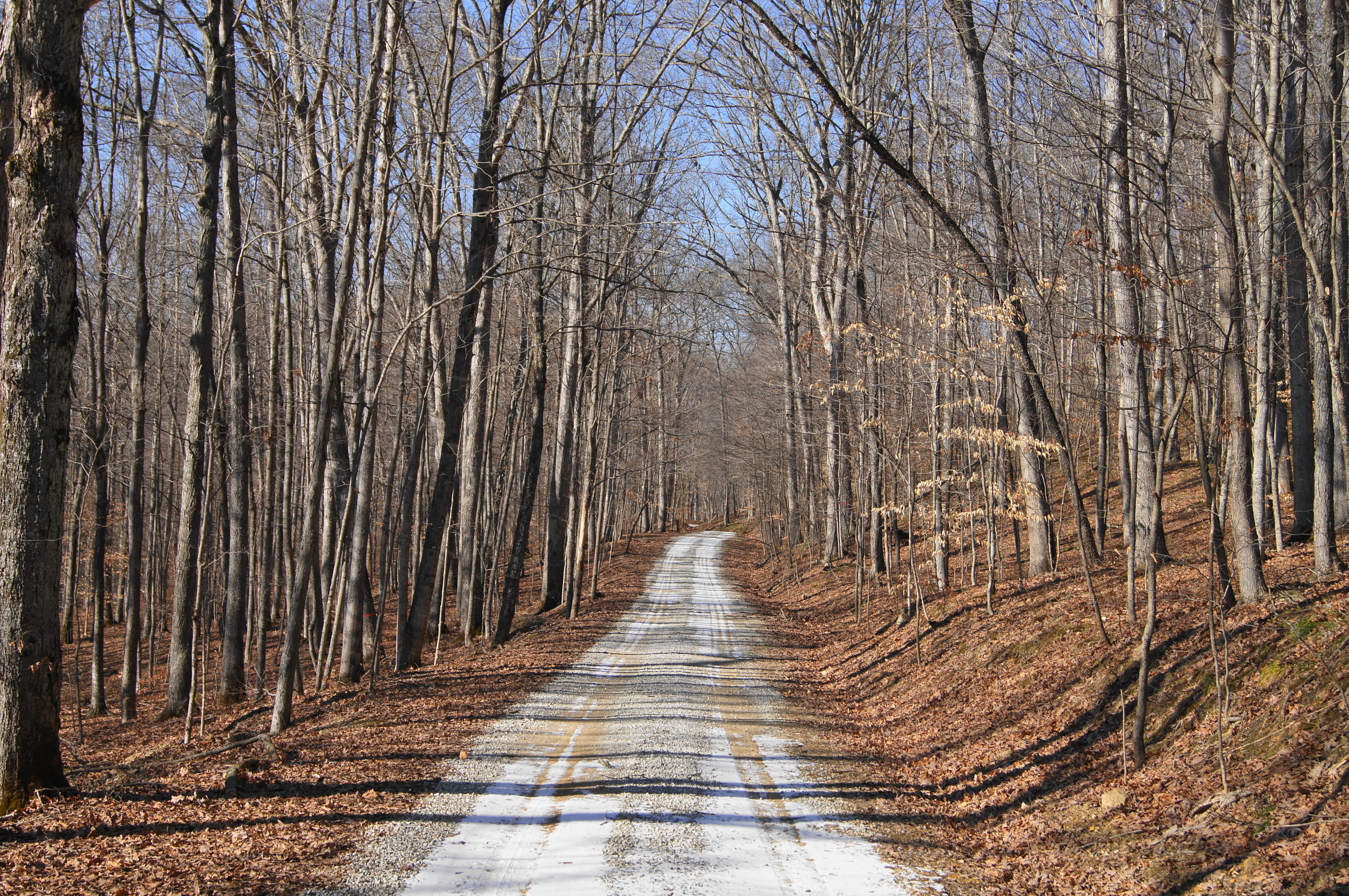
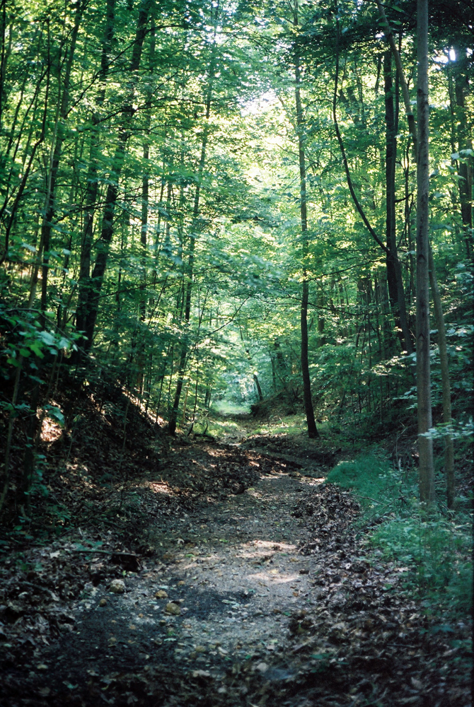
DSC01134 (1)road
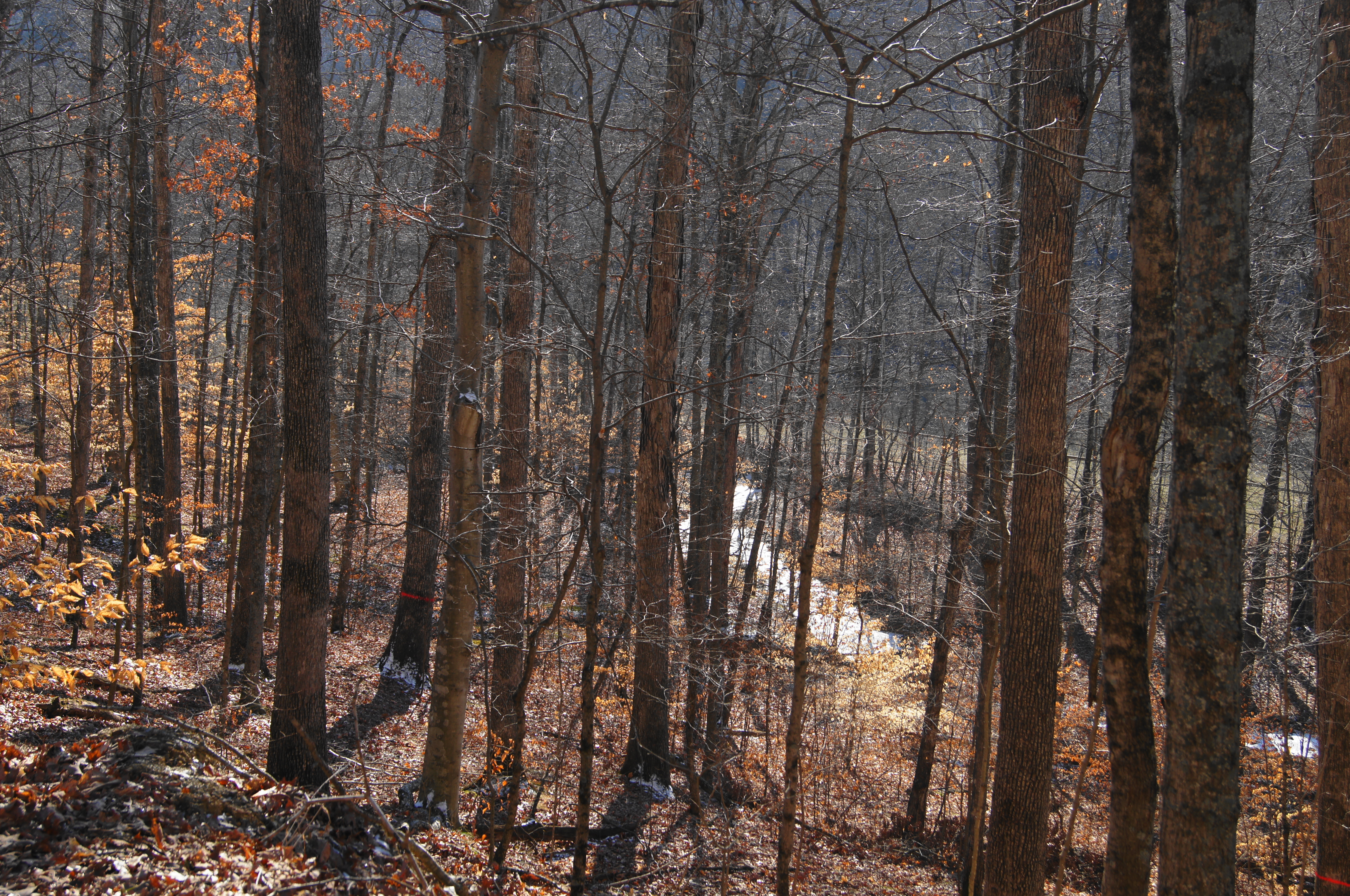
DSC01135 (1)creek
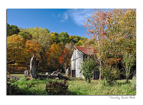
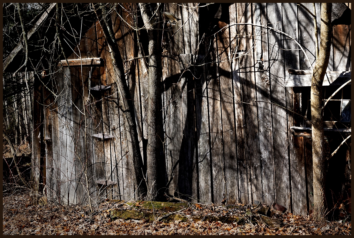
Brown County Barn
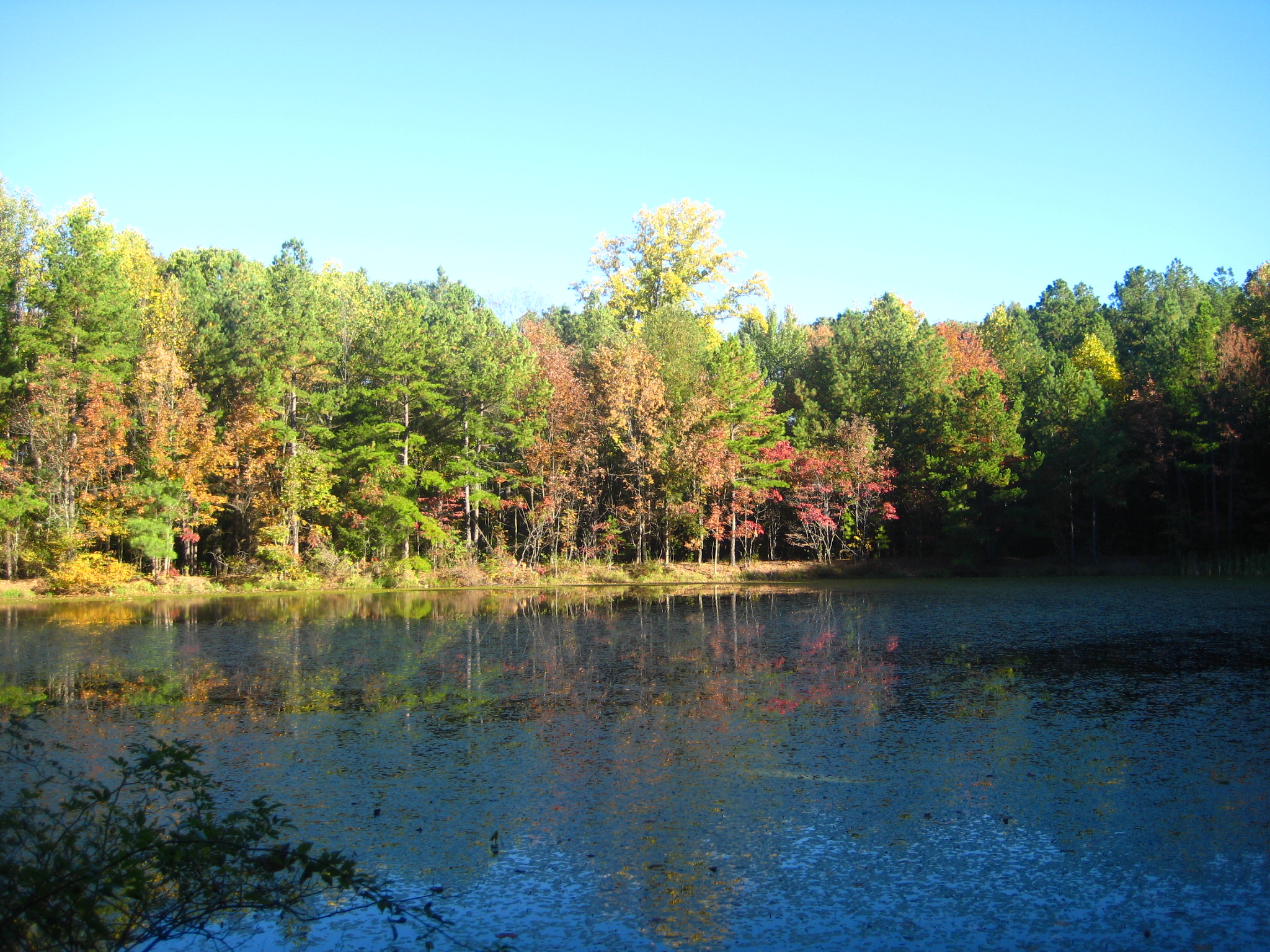
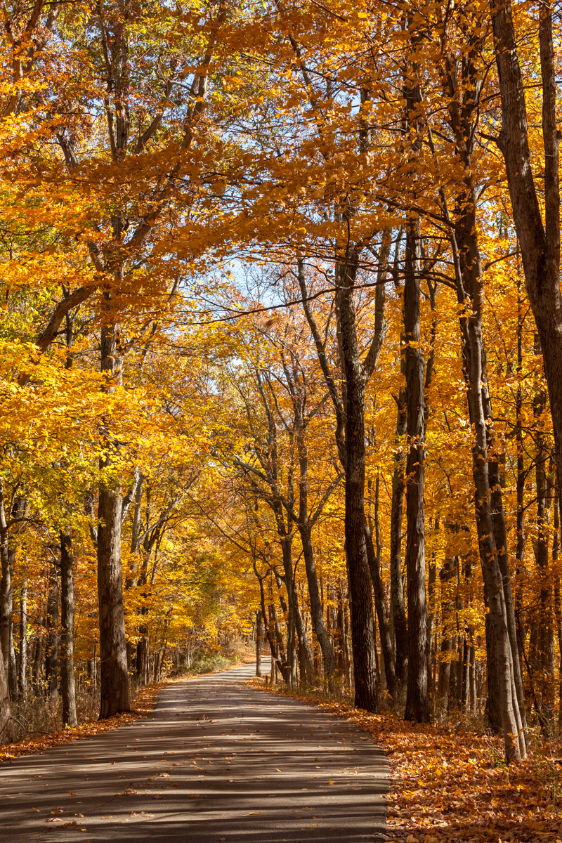
Fall colors came out to greet us
IMG_1206[1]
DSC01136 (1)road
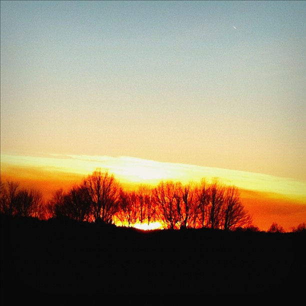
Sunset@Jan 9 2012
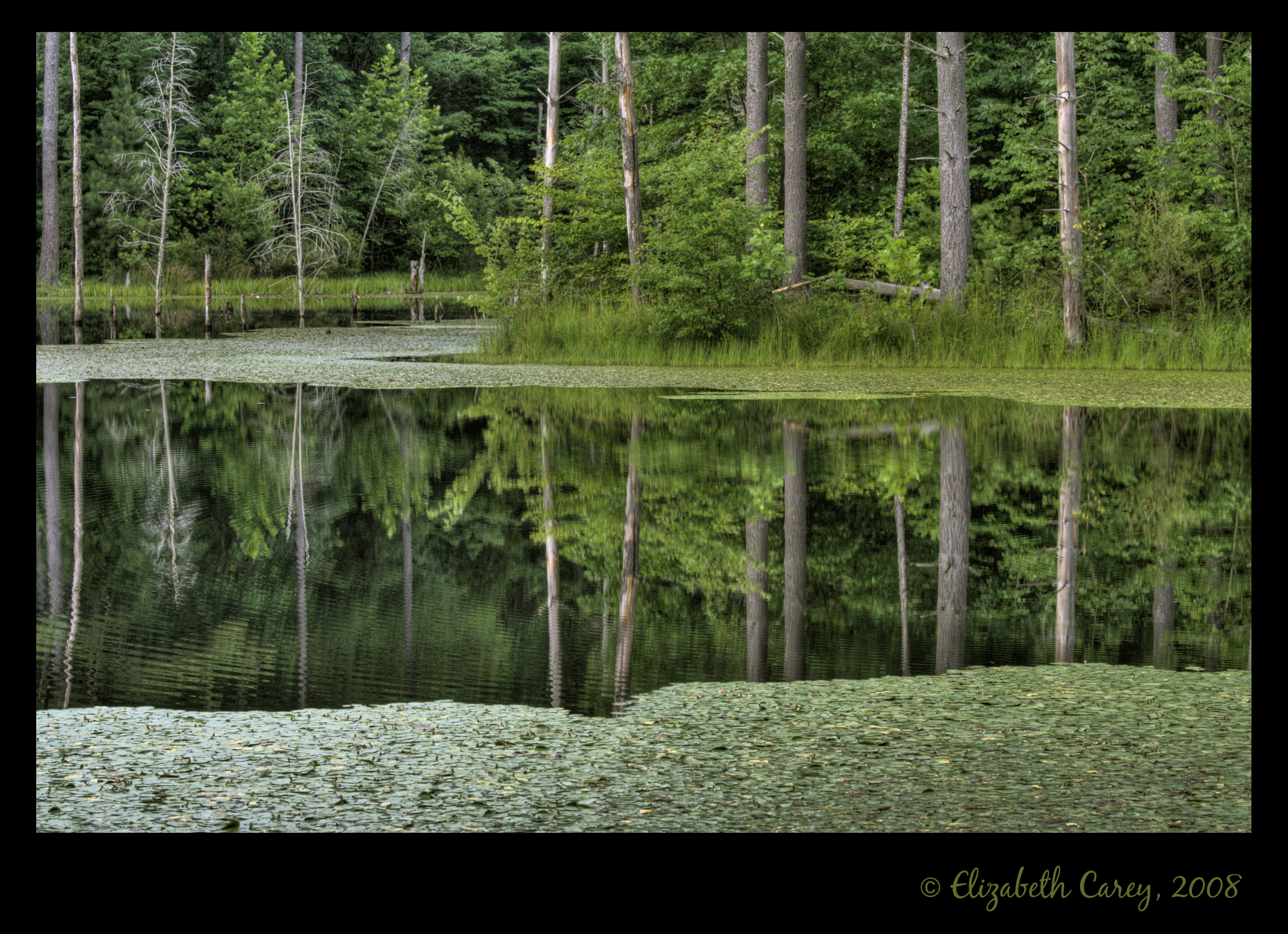
Morning on the Pond
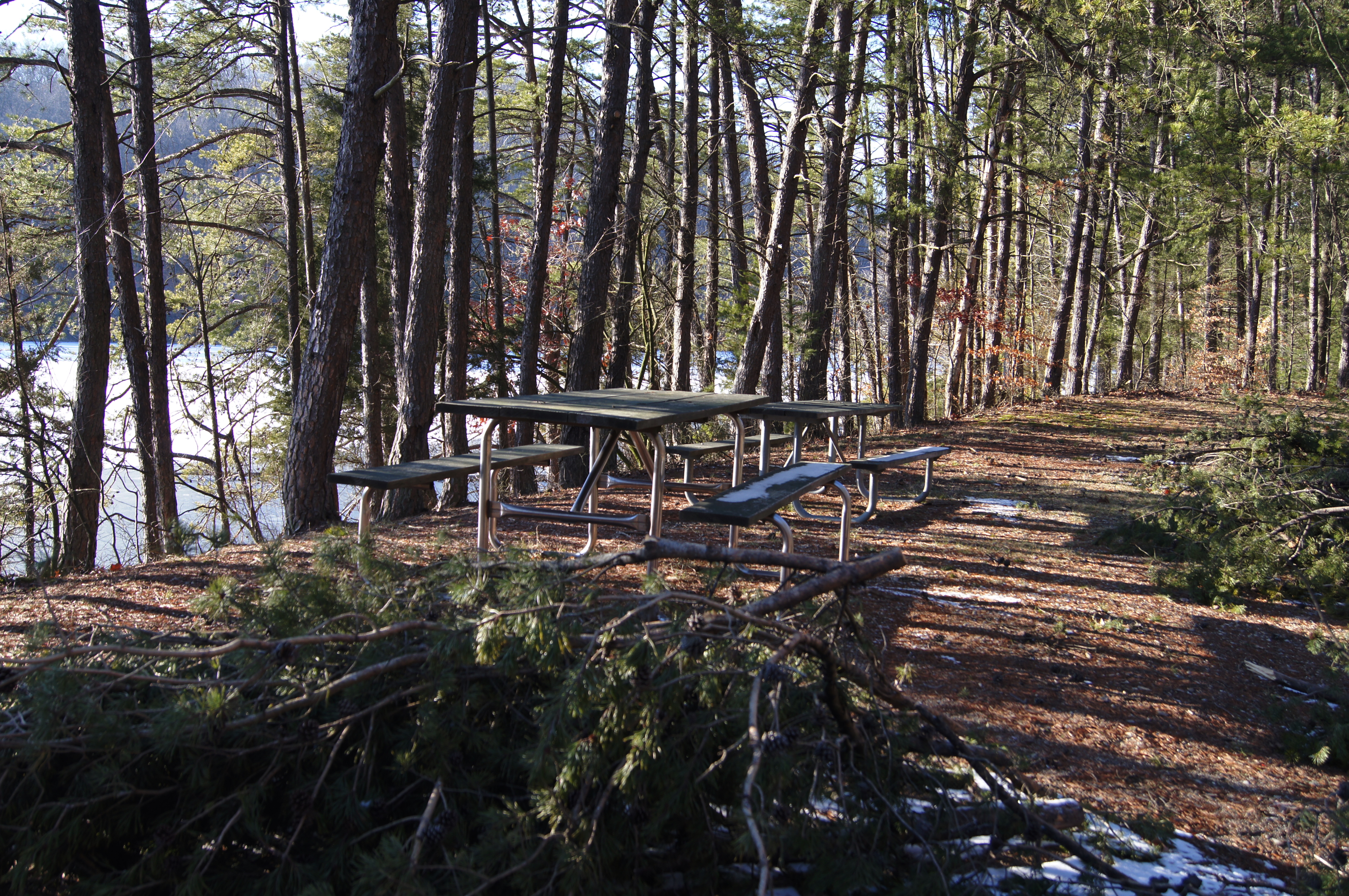
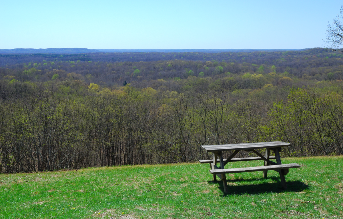
DSC01171 (1)picnic tables
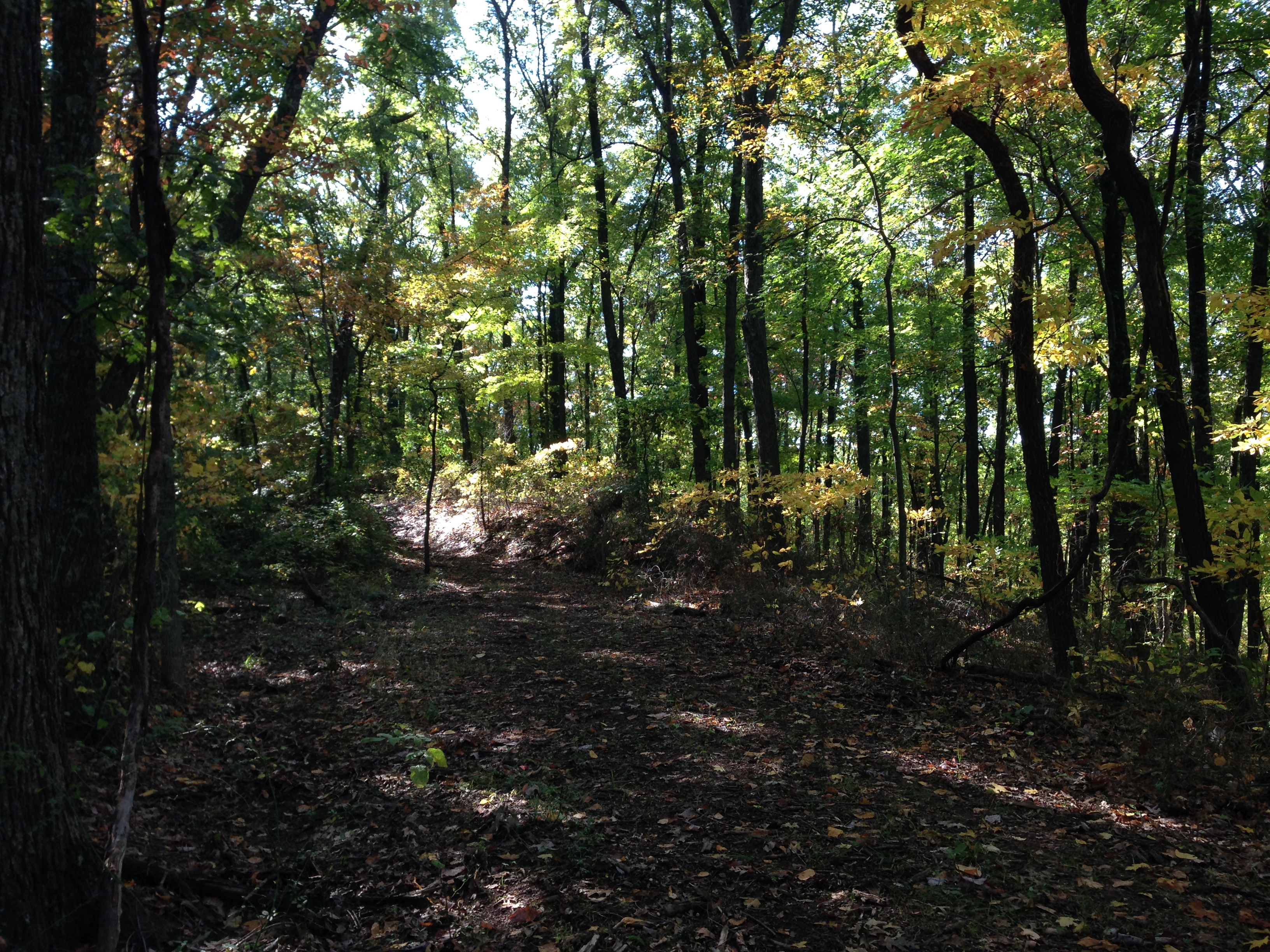
Hiking and Camping In Charles Deam Wilderness Area.
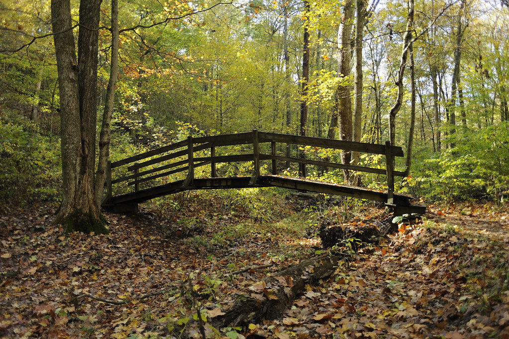
Wooden Bridge (_KVG8146)
Old Milwaukee - Norman Station, IN
Brown County

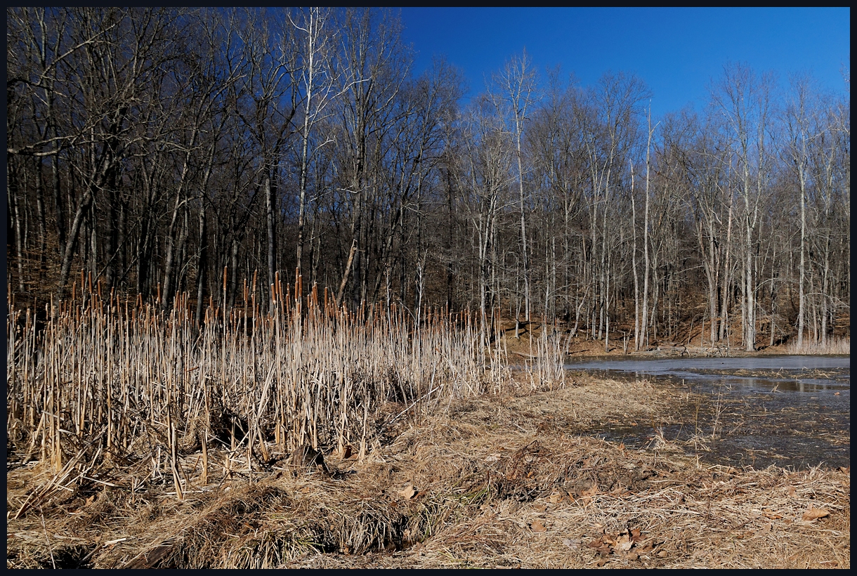
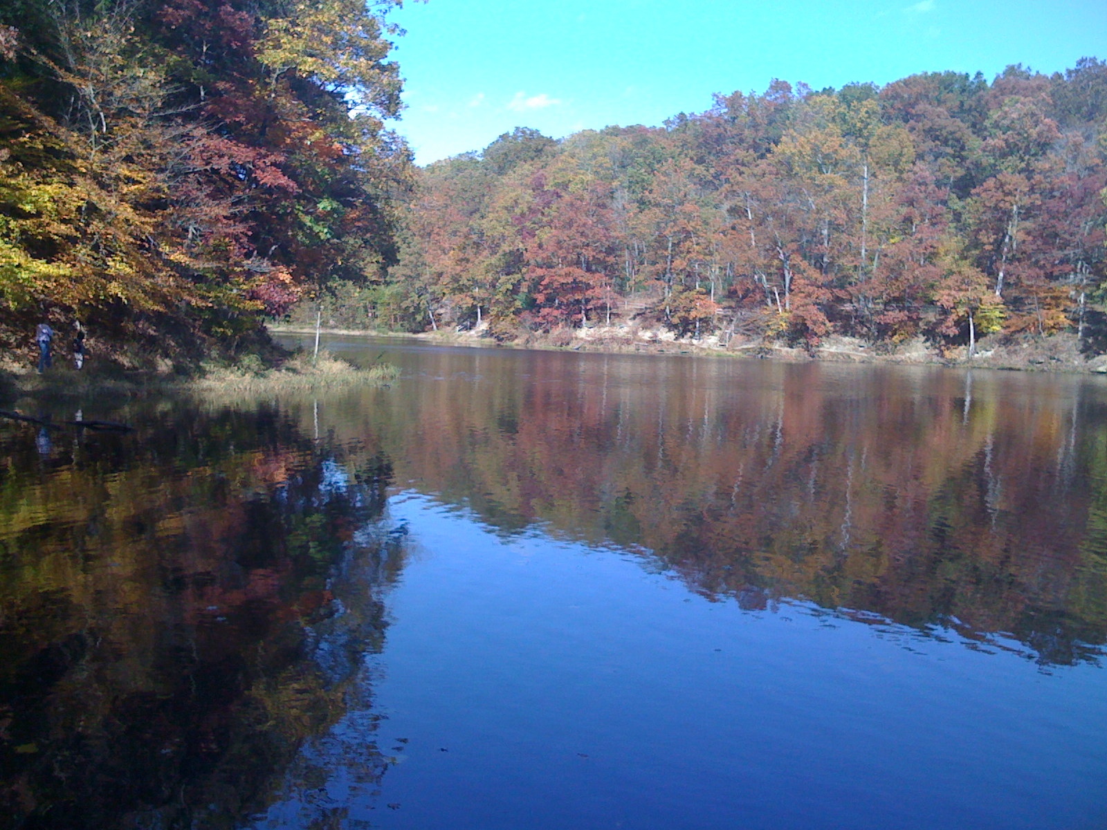
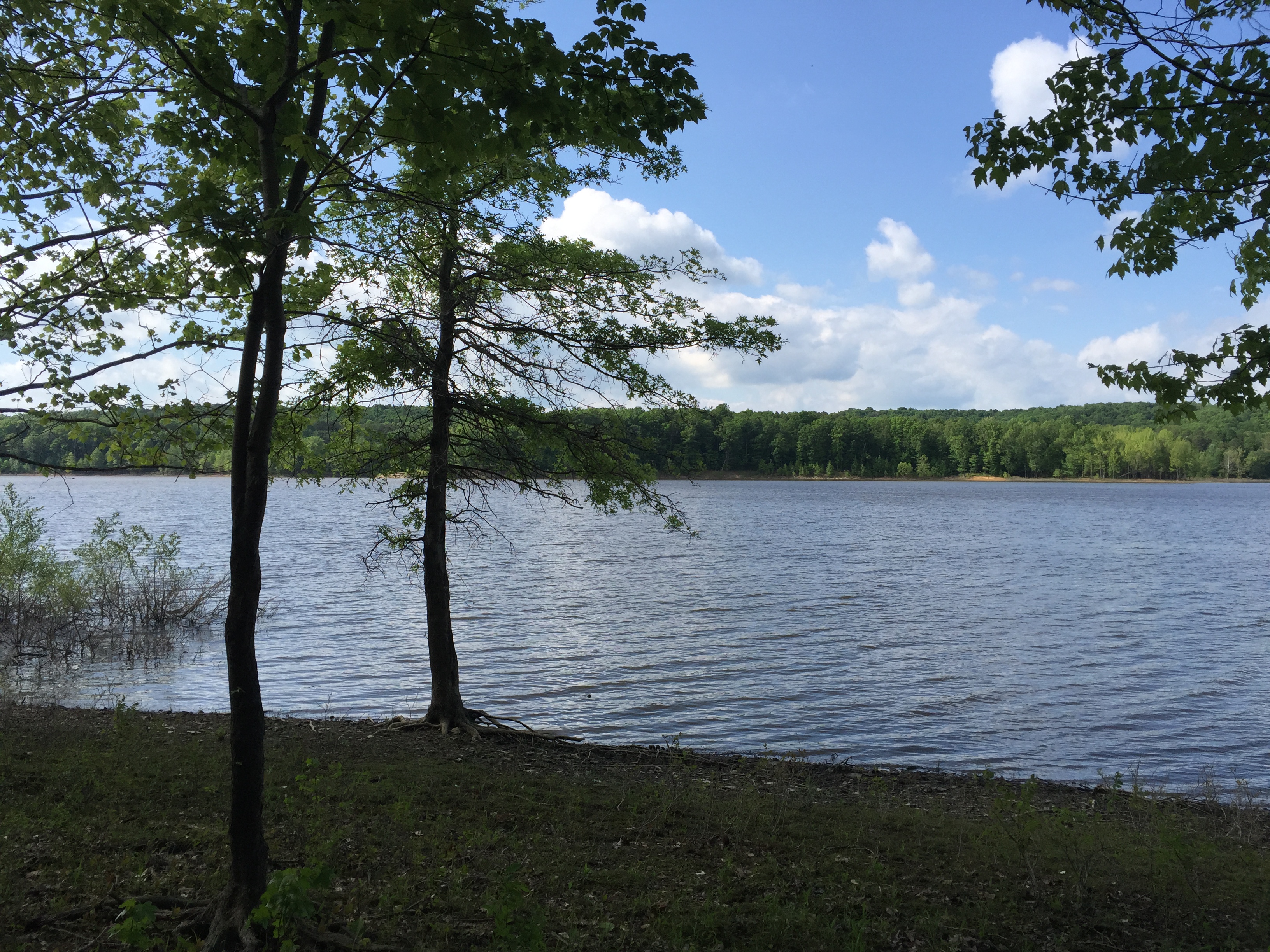
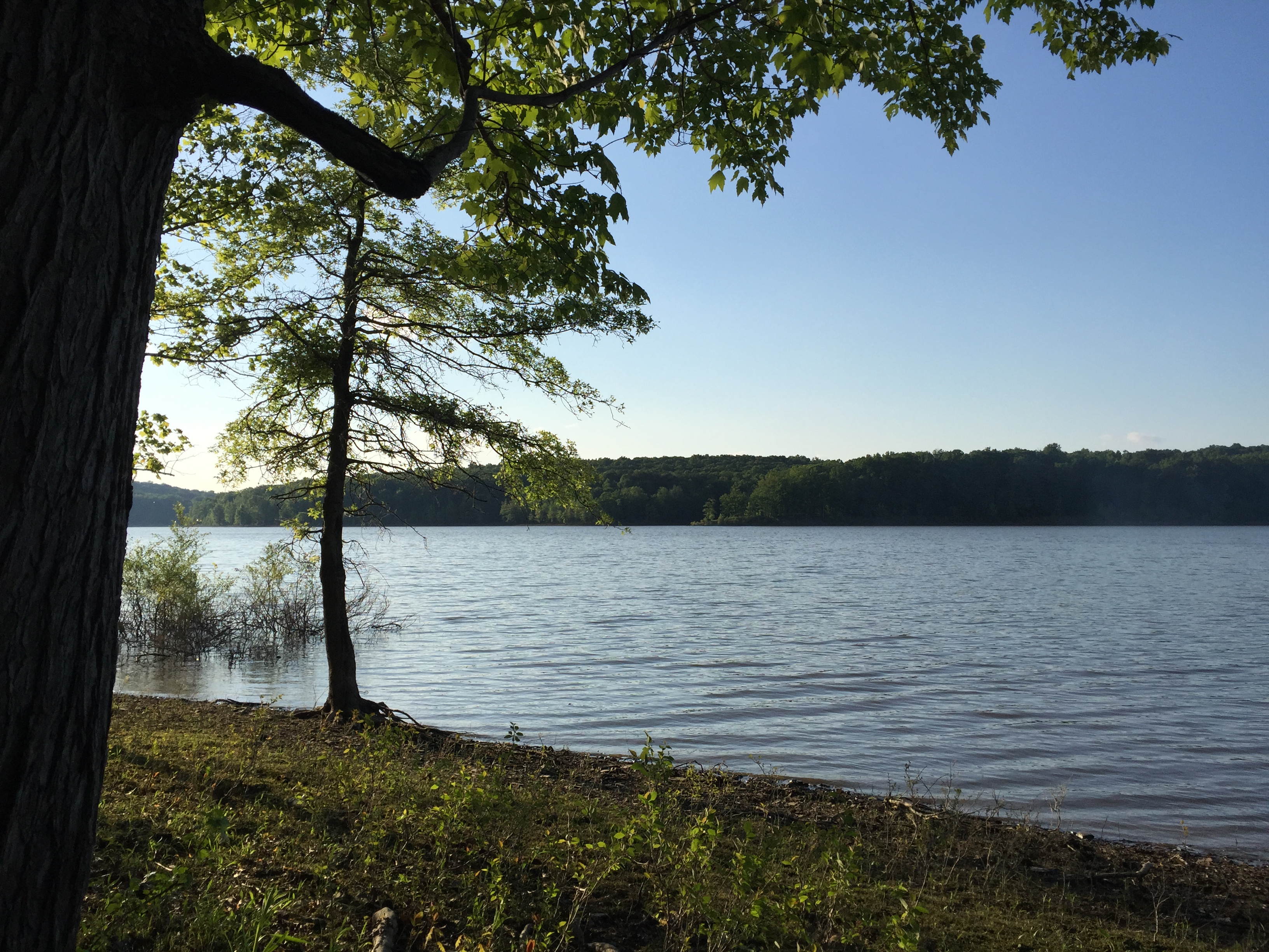
Tree-line reflection on the lake
Hiking and Camping In Charles Deam Wilderness Area.
IMG_1196[1]
Topographic Map of N W, Norman, IN, USA
Find elevation by address:

Places near N W, Norman, IN, USA:
Hamilton Creek Rd, Columbus, IN, USA
Van Buren Township
Elkinsville
Brown County
IN-, Nashville, IN, USA
Washington Township
Gnaw Bone
7800 Deckard Ridge Rd
7800 Deckard Ridge Rd
7800 Deckard Ridge Rd
7800 Deckard Ridge Rd
7800 Deckard Ridge Rd
7800 Deckard Ridge Rd
7800 Deckard Ridge Rd
7800 Deckard Ridge Rd
Lower Deckard Ridge Road
South Friendship Road
Salt Creek Township
E Woodview Dr, Bloomington, IN, USA
Knightridge Rd, Bloomington, IN, USA
Recent Searches:
- Elevation of Royal Ontario Museum, Queens Park, Toronto, ON M5S 2C6, Canada
- Elevation of Groblershoop, South Africa
- Elevation of Power Generation Enterprises | Industrial Diesel Generators, Oak Ave, Canyon Country, CA, USA
- Elevation of Chesaw Rd, Oroville, WA, USA
- Elevation of N, Mt Pleasant, UT, USA
- Elevation of 6 Rue Jules Ferry, Beausoleil, France
- Elevation of Sattva Horizon, 4JC6+G9P, Vinayak Nagar, Kattigenahalli, Bengaluru, Karnataka, India
- Elevation of Great Brook Sports, Gold Star Hwy, Groton, CT, USA
- Elevation of 10 Mountain Laurels Dr, Nashua, NH, USA
- Elevation of 16 Gilboa Ln, Nashua, NH, USA