Elevation of Virsylvia Peak, New Mexico, USA
Location: United States > New Mexico > Taos County > Questa >
Longitude: -105.49972
Latitude: 36.8025268
Elevation: 3773m / 12379feet
Barometric Pressure: 63KPa
Elevation Map:
Satellite Map:
Related Photos:
View from the top

Red River Pass
The Forgotten Old West
Red River, New Mexico
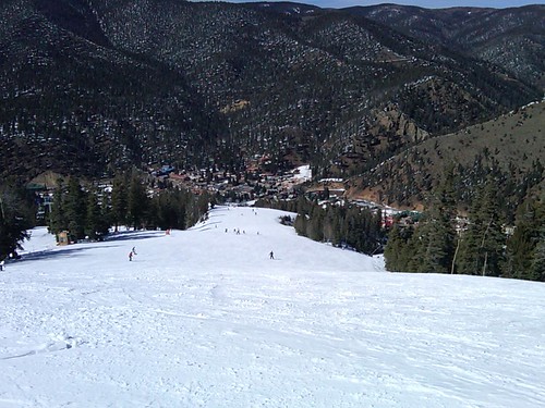
View from 10,000 feet
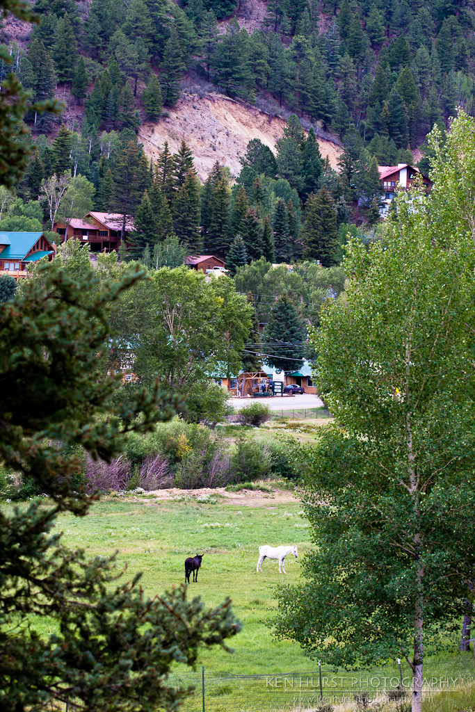
Pastoral New Mexico
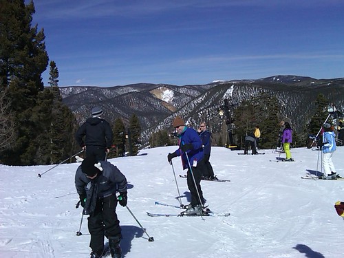
View from the top
The view of Broadway (a blue)

Stunt Area View from the Lift
Topographic Map of Virsylvia Peak, New Mexico, USA
Find elevation by address:

Places near Virsylvia Peak, New Mexico, USA:
Latir Peak
Questa, NM, USA
77 Latir Rd
143 Quintana Rd
5 Latir Rd
6 Dulcimer Rd
Echo Forest Road
66 Latir Rd
Upper Pinabete
Lower Pinabete
Lower Pinabete
Lower Pinabete
Lower Pinabete
Lower Pinabete
112 Llano Rd
123 Cabresto Rd
Questa
Guadalupe Mountain North
Cerro, NM, USA
Flag Mountain
Recent Searches:
- Elevation of Tenjo, Cundinamarca, Colombia
- Elevation of Côte-des-Neiges, Montreal, QC H4A 3J6, Canada
- Elevation of Bobcat Dr, Helena, MT, USA
- Elevation of Zu den Ihlowbergen, Althüttendorf, Germany
- Elevation of Badaber, Peshawar, Khyber Pakhtunkhwa, Pakistan
- Elevation of SE Heron Loop, Lincoln City, OR, USA
- Elevation of Slanický ostrov, 01 Námestovo, Slovakia
- Elevation of Spaceport America, Co Rd A, Truth or Consequences, NM, USA
- Elevation of Warwick, RI, USA
- Elevation of Fern Rd, Whitmore, CA, USA