Elevation of 77 Latir Rd, Questa, NM, USA

Location: United States > New Mexico > Taos County > Questa >

Longitude: -105.56313

Latitude: 36.8292306

Elevation: 2432m / 7979feet

Barometric Pressure: 75KPa

Elevation Map:

elevation map of 77 Latir Rd, Questa, NM, USA

Satellite Map:

Satellite map of 77 Latir Rd, Questa, NM, USA

Related Photos:

travel mountains newmexico southwest west nature outdoors nationalmonument americanwest riogrande sangredecristomountains theamericanwest thewest northernnewmexico riograndedelnorte riograndedelnortenationalmonument
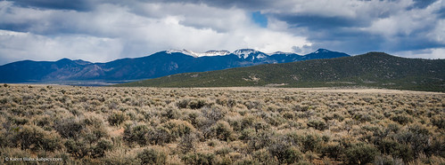
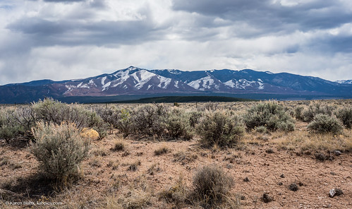
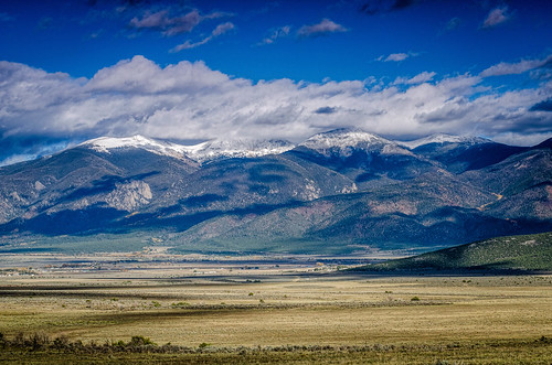
Sangre de Cristo Mountains at Sheep Crossing
travel mountains newmexico southwest west nature outdoors nationalmonument americanwest riogrande sangredecristomountains theamericanwest thewest northernnewmexico riograndedelnorte riograndedelnortenationalmonument
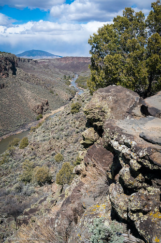
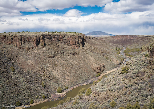
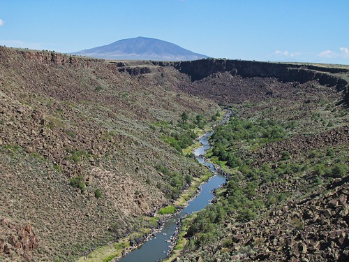
Rio Grande gorge in Northern New Mexico
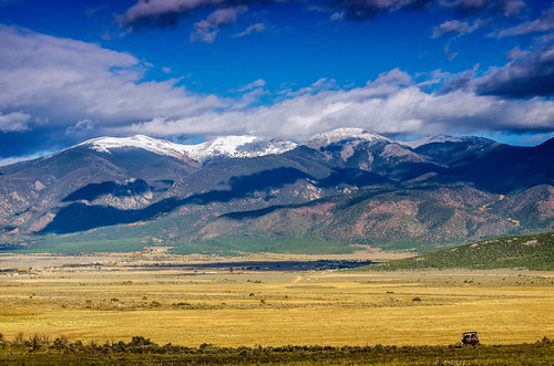
blue autumn trees sky cloud white snow colour verde green fall blanco grass yellow azul clouds forest canon landscape eos árboles cloudy nieve bleu amarillo ciel pines bosque cielo nubes area árbol vegetation otoño nublado cart pinos paysage pino region soe couleur vegetal herbe oldwest cubism carreta colourfull blueribbonwinner 40d mywinners abigfave nuevoméxico platinumphoto anawesomeshot canoneos40d viejooeste goldstaraward absolutelystunningscapes rubyphotographer damniwishidtakenthat eduardomuriedas awardtree magicdonkeysbest goldenheartaward dragondaggerphoto questanewméxico
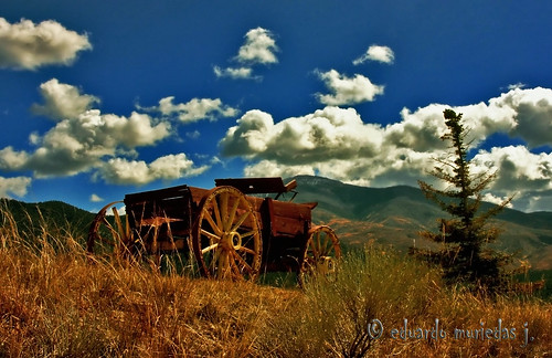
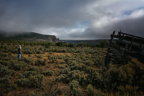
The Forgotten Old West
travel mountain mountains newmexico southwest west nature outdoors scenery view hiking taos viewpoint nationalmonument americanwest sangredecristomountains theamericanwest thewest northernnewmexico flagpeak lobopeak chiflotrail
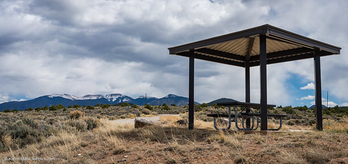
Sangre de Cristo Mountains viewpoint
travel mountain mountains newmexico southwest west nature outdoors scenery view hiking taos viewpoint nationalmonument americanwest sangredecristomountains theamericanwest thewest northernnewmexico flagpeak lobopeak chiflotrail
Sangre de Cristo Mountains viewpoint
travel mountain mountains newmexico southwest west nature outdoors scenery view hiking taos viewpoint nationalmonument americanwest sangredecristomountains theamericanwest thewest northernnewmexico flagpeak lobopeak chiflotrail
Sangre de Cristo Mountains viewpoint
plants usa newmexico southwest nature rural america landscape photography scenery rocks unitedstates desert w country trail cerro creativecommons desertview blm hikingtrail naturephotography travelphotography riogranderiver wildrivers taoscounty bureauoflandmanagement tonemapping wildriversrecreationarea questanewmexico sheepcrossinglookout naturesvista sheepcrossingtrail
Sheep Crossing Trail
travel mountains newmexico southwest west nature outdoors nationalmonument americanwest riogrande sangredecristomountains theamericanwest thewest northernnewmexico riograndedelnorte riograndedelnortenationalmonument
Rio Grande gorge in Northern New Mexico
travel mountains newmexico southwest west nature outdoors nationalmonument americanwest riogrande sangredecristomountains theamericanwest thewest northernnewmexico riograndedelnorte riograndedelnortenationalmonument
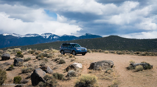
An impromptu car ad?
travel mountains newmexico southwest west nature outdoors nationalmonument americanwest riogrande sangredecristomountains theamericanwest thewest northernnewmexico riograndedelnorte riograndedelnortenationalmonument
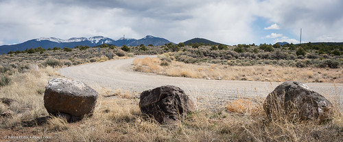
Sangre de Cristo Mountains at Sheep Crossing
questanm uploaded:by=flickrmobile flickriosapp:filter=nofilter
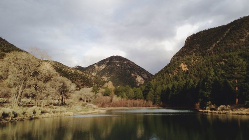
Eagle Rock Lake. Questa, New Mexico
shopping artist tour photowalk taos nm shankargallery richardlazzara buymyart
ToTaosFeb25 2014 : DSCN8892
shopping artist tour photowalk taos nm shankargallery richardlazzara buymyart
ToTaosFeb25 2014 : DSCN8895
snow newmexico
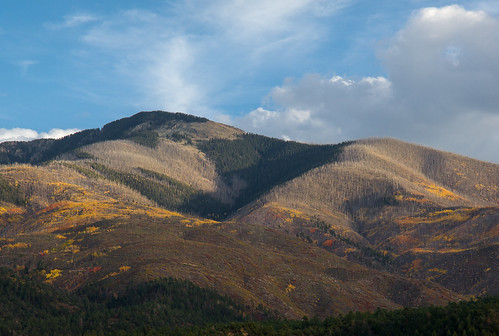
Flag Mountain
newmexico hdrphoto
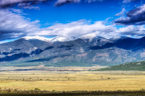
Flag Mountain HDR
newmexico hdrphoto
Flag Mountain HDR
square squareformat iphoneography instagramapp uploaded:by=instagram
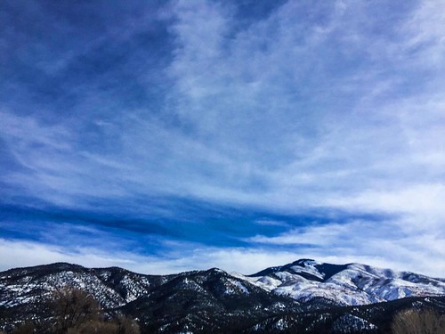
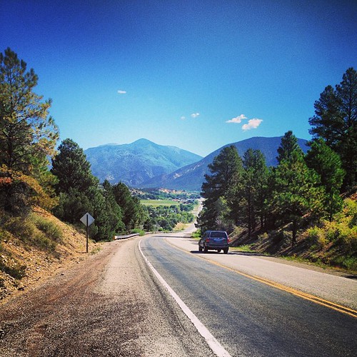
Soooooooo Northern New Mexico is pretty. #newmexico #travel #roadtrip #exploring #photography #BellusPhoto.com #butdefinitelynotsoutheasternnewmexico #mountains
newmexico nature forest
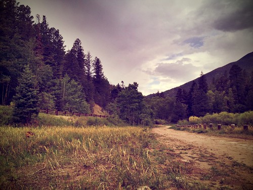
New Mexico
newmexico unitedstates questa cerrochiflo
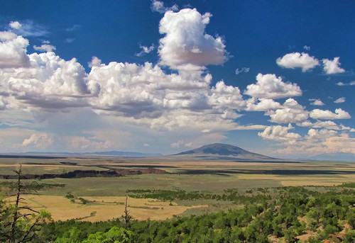
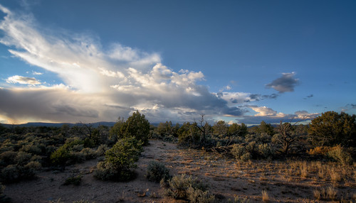
Storm Over Cerro Chiflo
newmexico clouds painted vista riograndegorge wildrivers questa wildriversrecreationarea lgos2012 lasvistasdequestatrail
Chasing Doug West
newmexico nature forest
New Mexico
usa newmexico unitedstates
1612 - Enchanted Circle
newmexico rio trail riogrande riograndegorge wildrivers questa wildriversrecreationarea eastrimtrail lgos2012
morning gorge
newmexico unitedstates questa hdrphoto
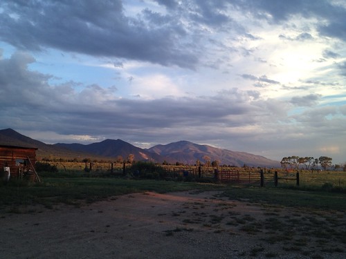
Evening Sky Near El Rito
newmexico unitedstates questa danhart
Foggy Morning
newmexico unitedstates questa hdrphoto cerrochiflo
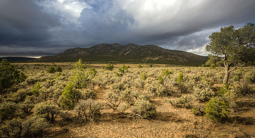
Cerro Chiflo
square squareformat mayfair iphoneography instagramapp uploaded:by=instagram foursquare:venue=4dfe66c5e4cd8e633feb7799
Tuesday. Mile 18 of 43.