Elevation of Quintana Rd, Questa, NM, USA
Location: United States > New Mexico > Taos County > Questa >
Longitude: -105.56757
Latitude: 36.8226642
Elevation: 2409m / 7904feet
Barometric Pressure: 76KPa
Elevation Map:
Satellite Map:
Related Photos:
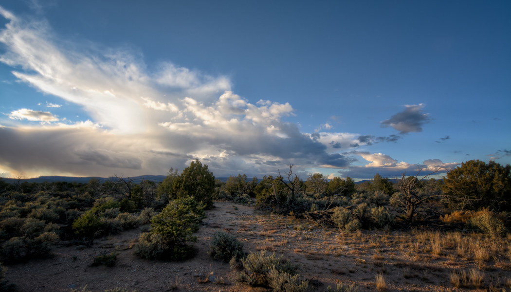
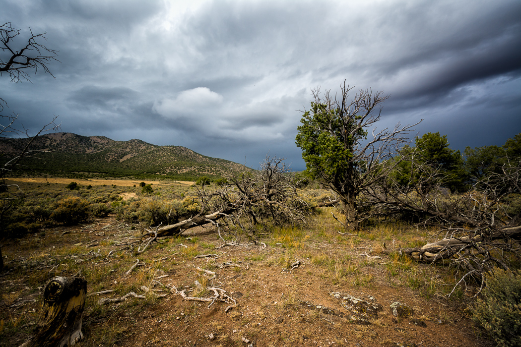
The Forgotten Old West
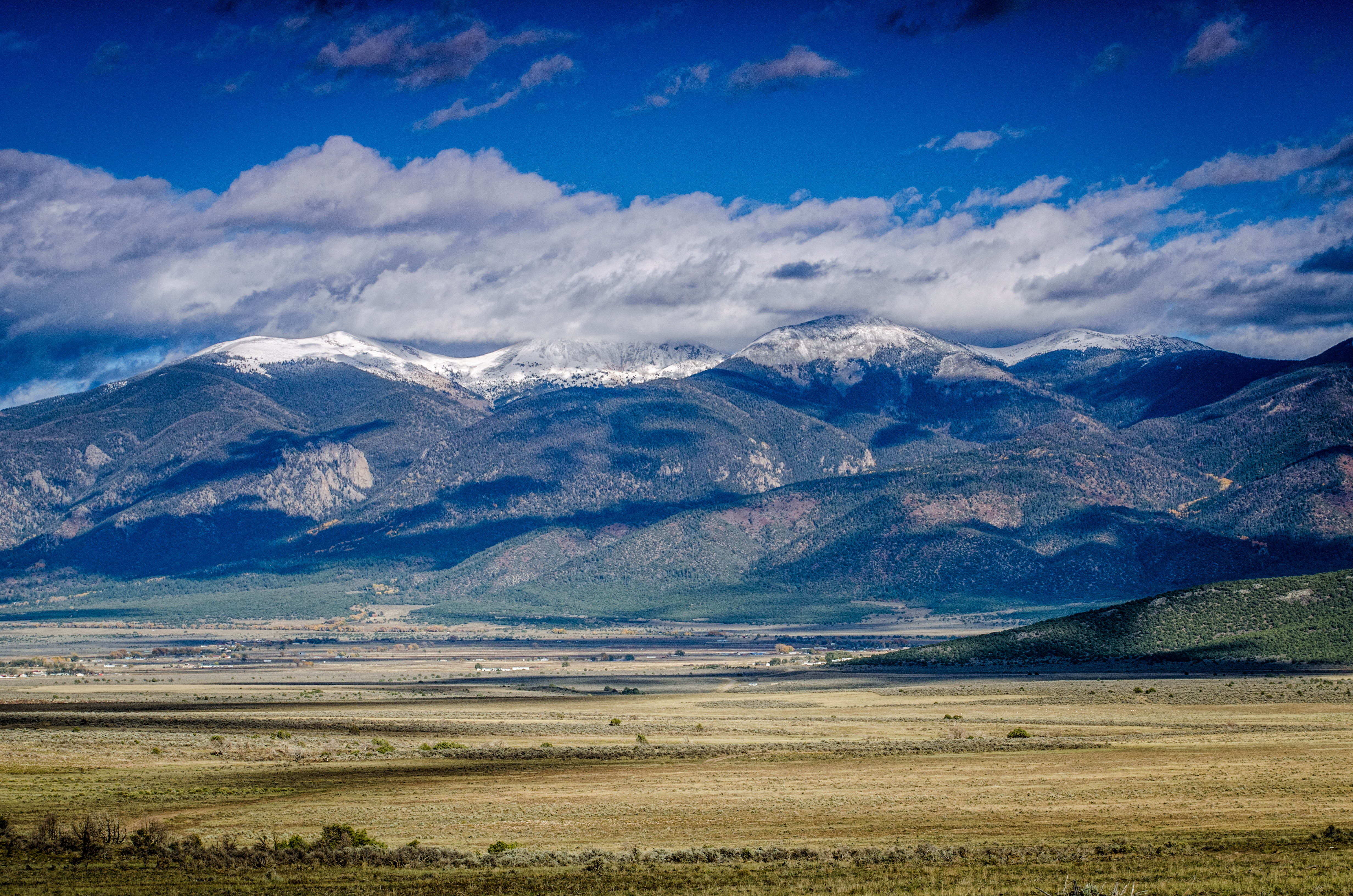
Sangre de Cristo Mountains at Sheep Crossing
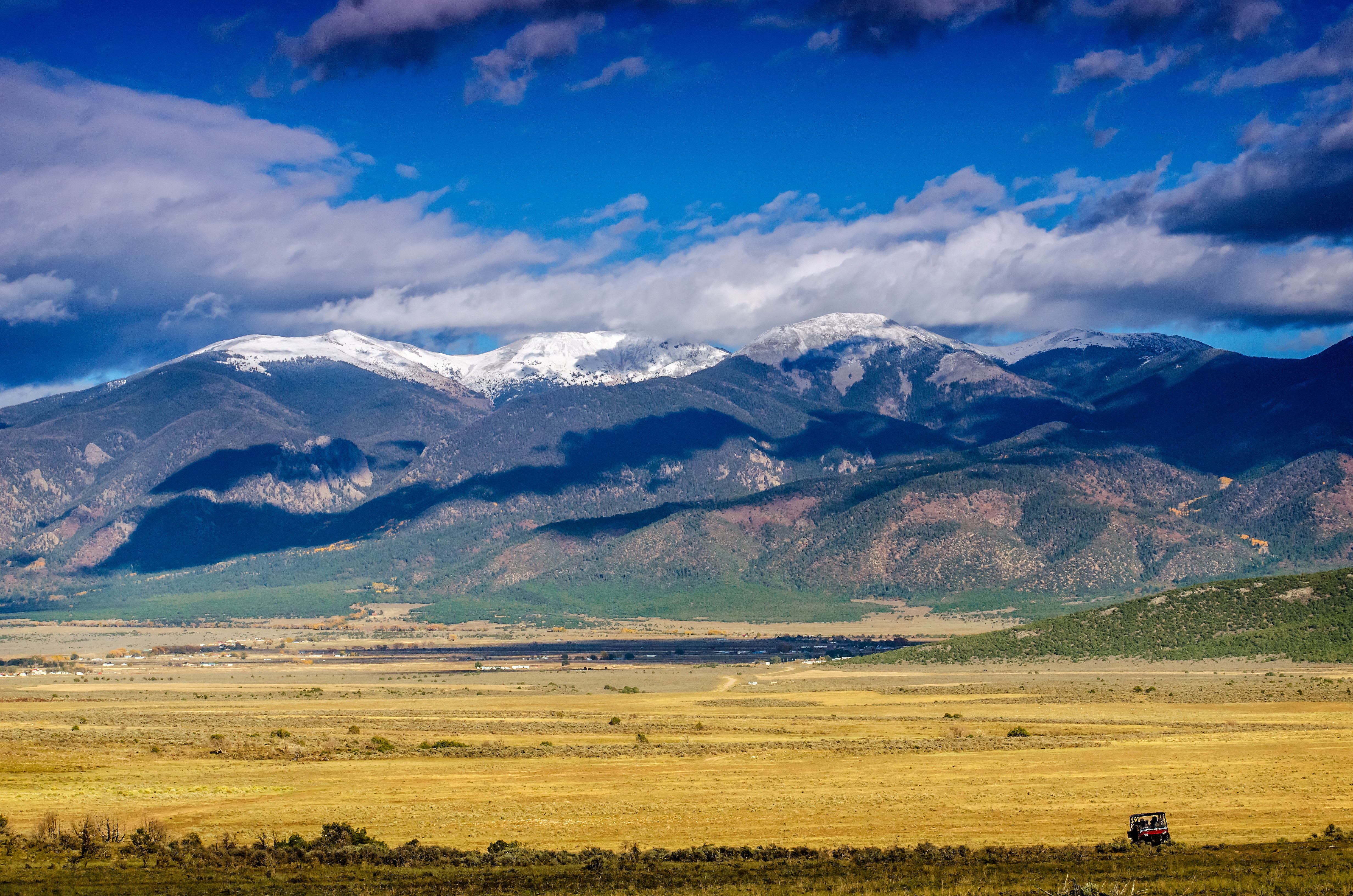
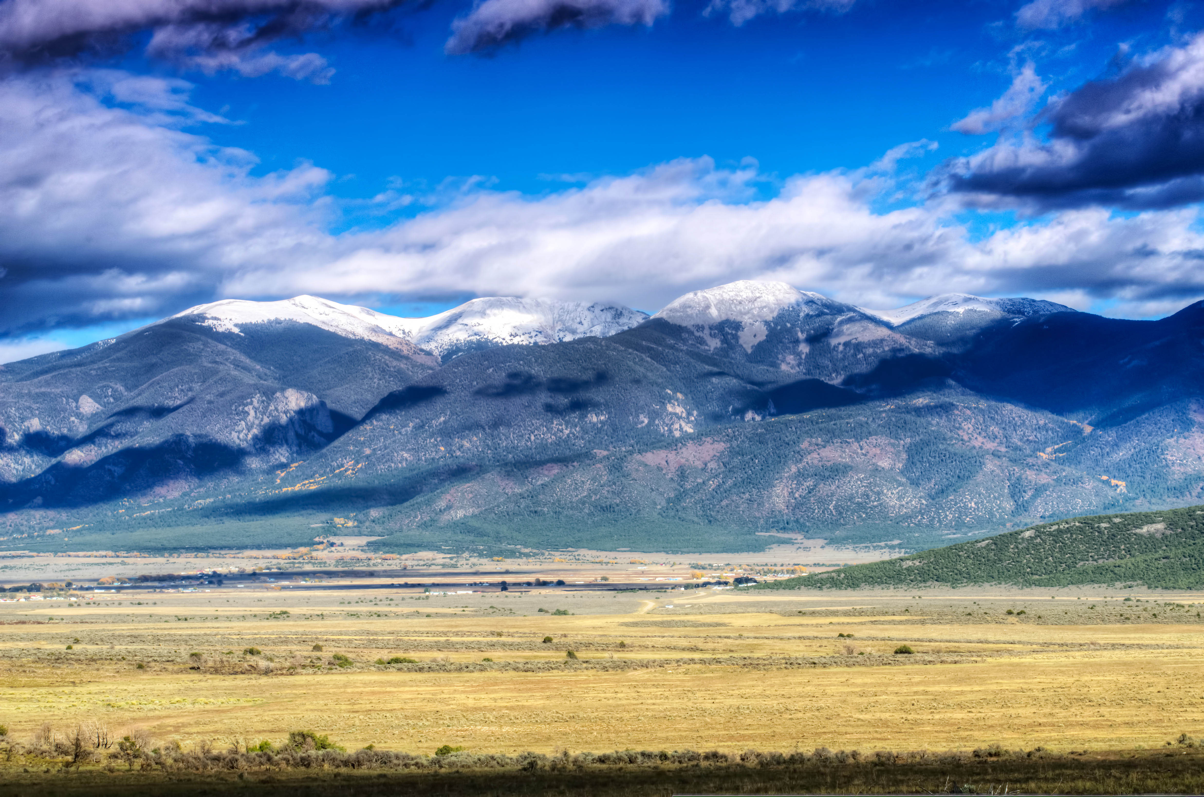
Sangre de Cristo Mountains viewpoint

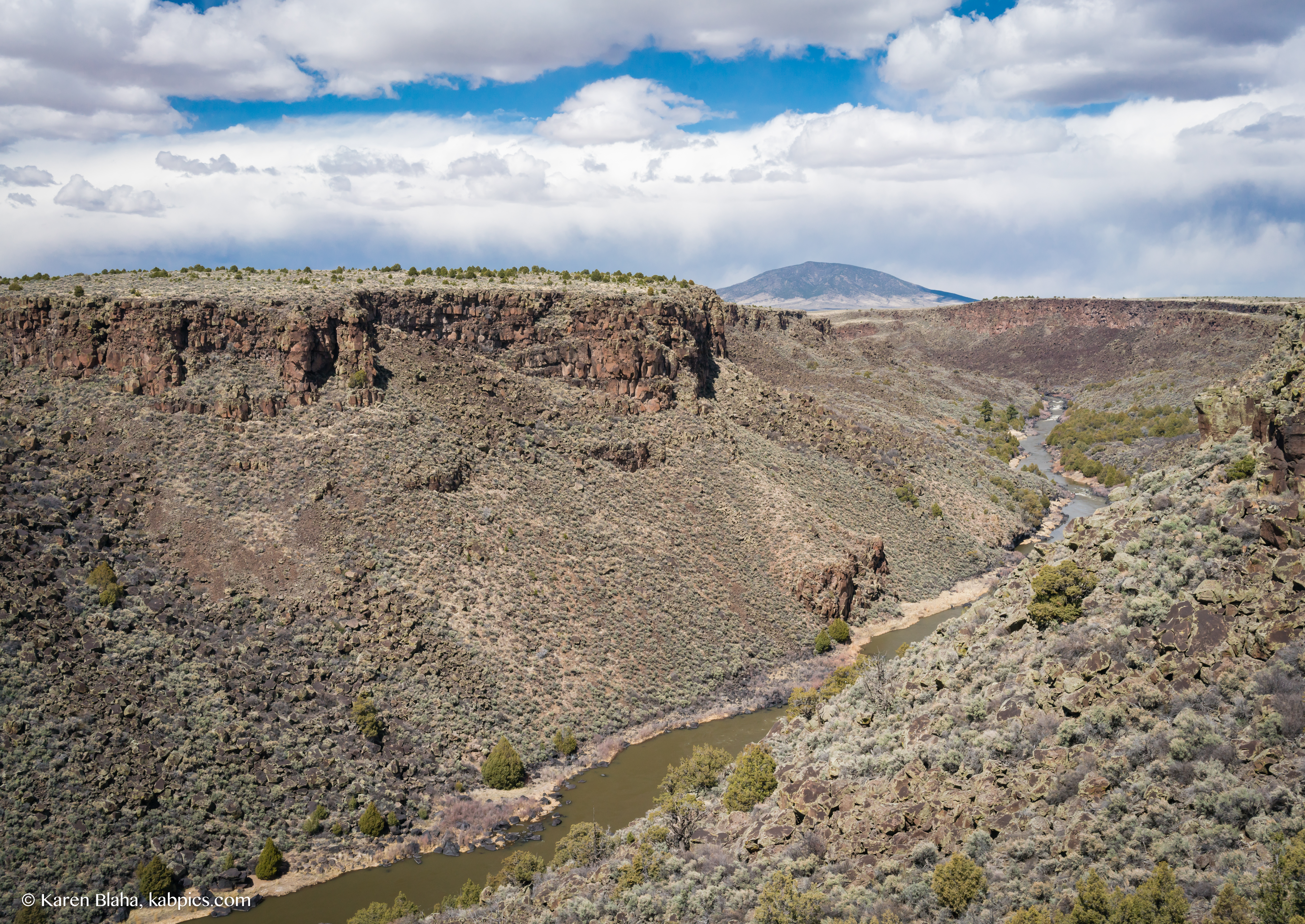
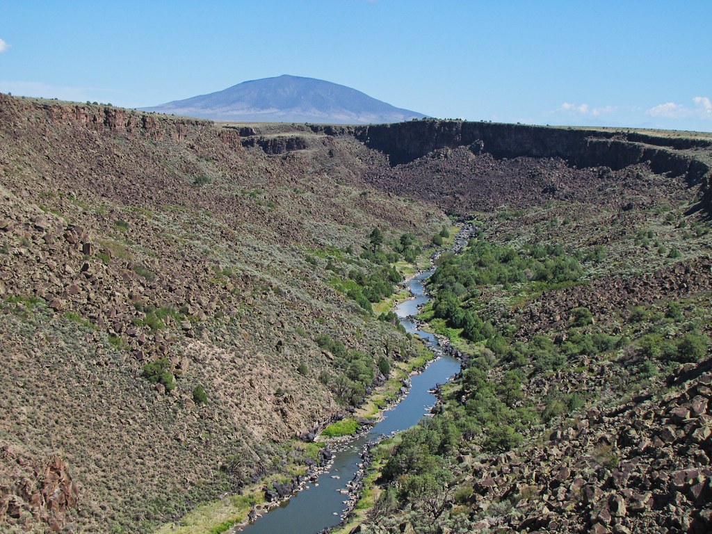
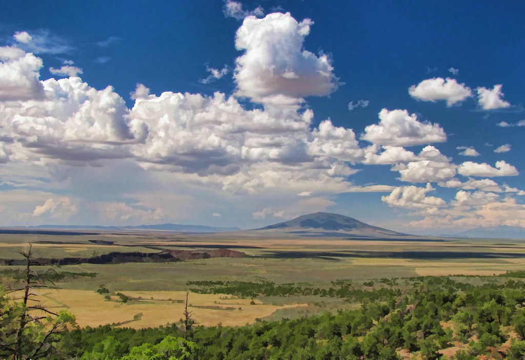
Rio Grande gorge in Northern New Mexico
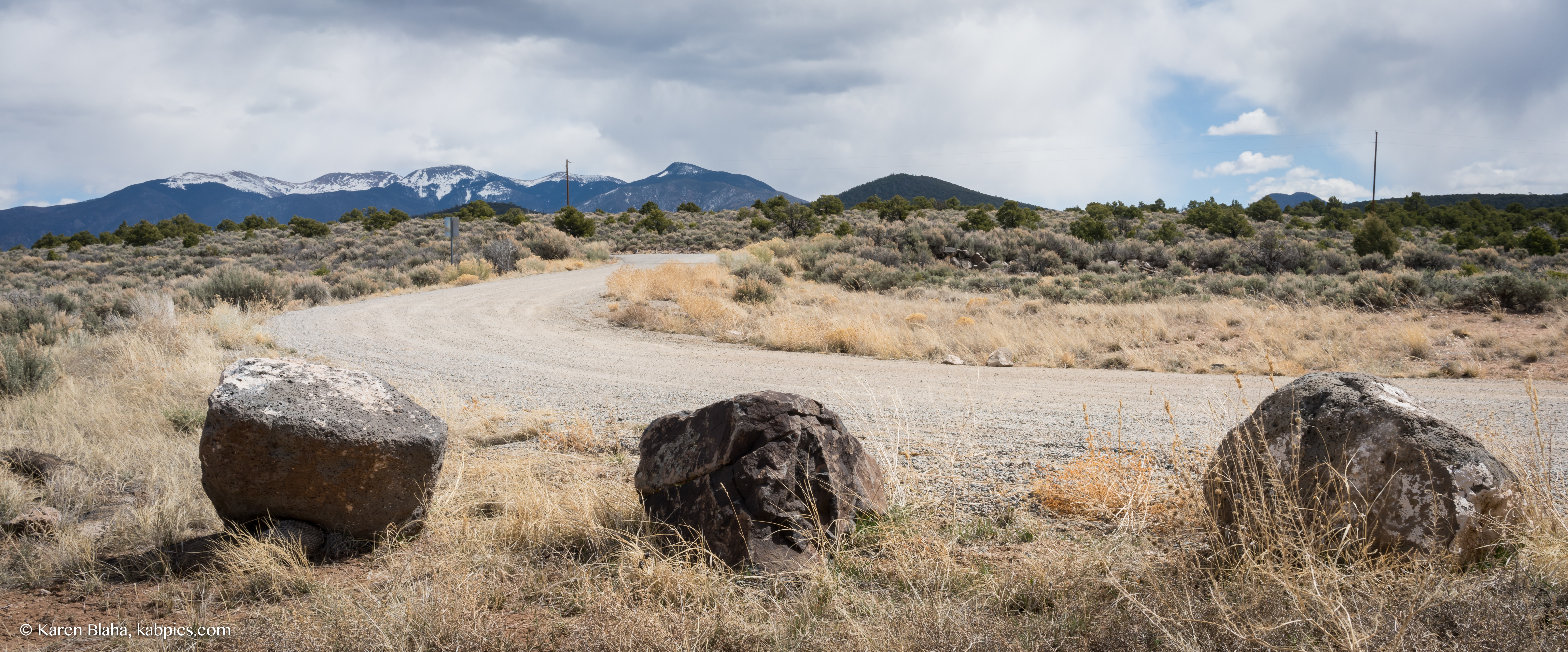
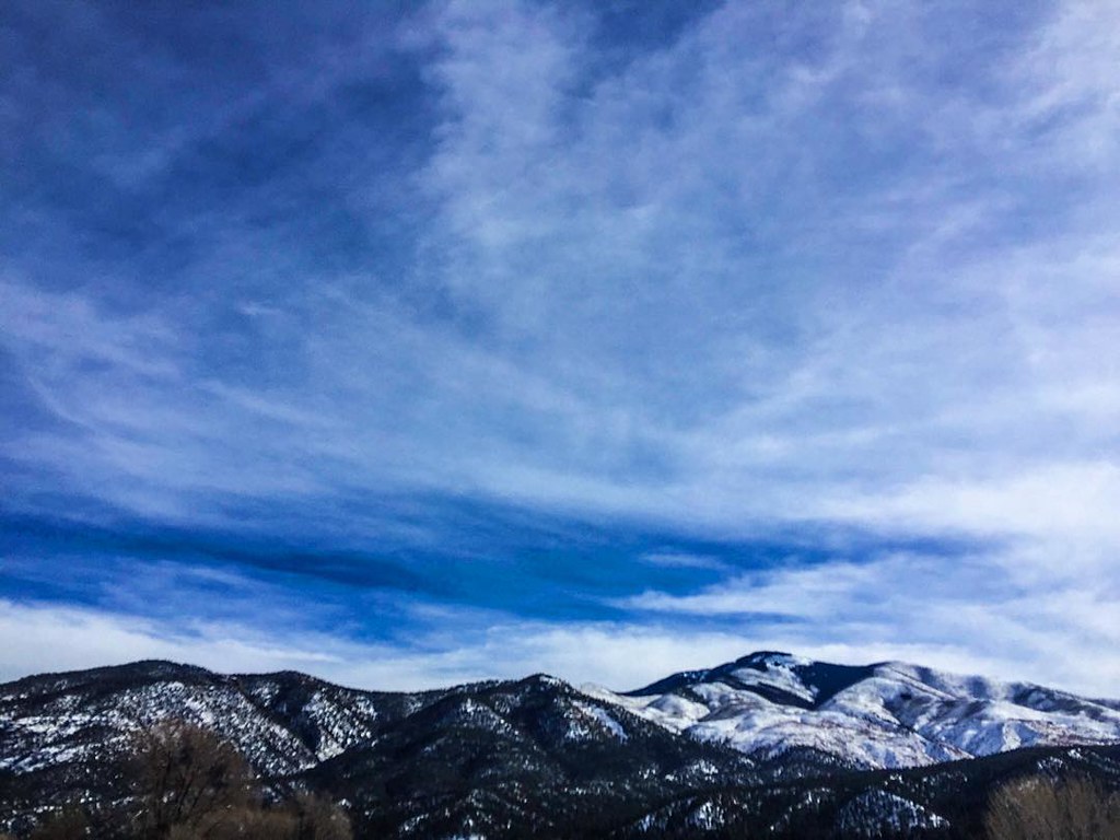
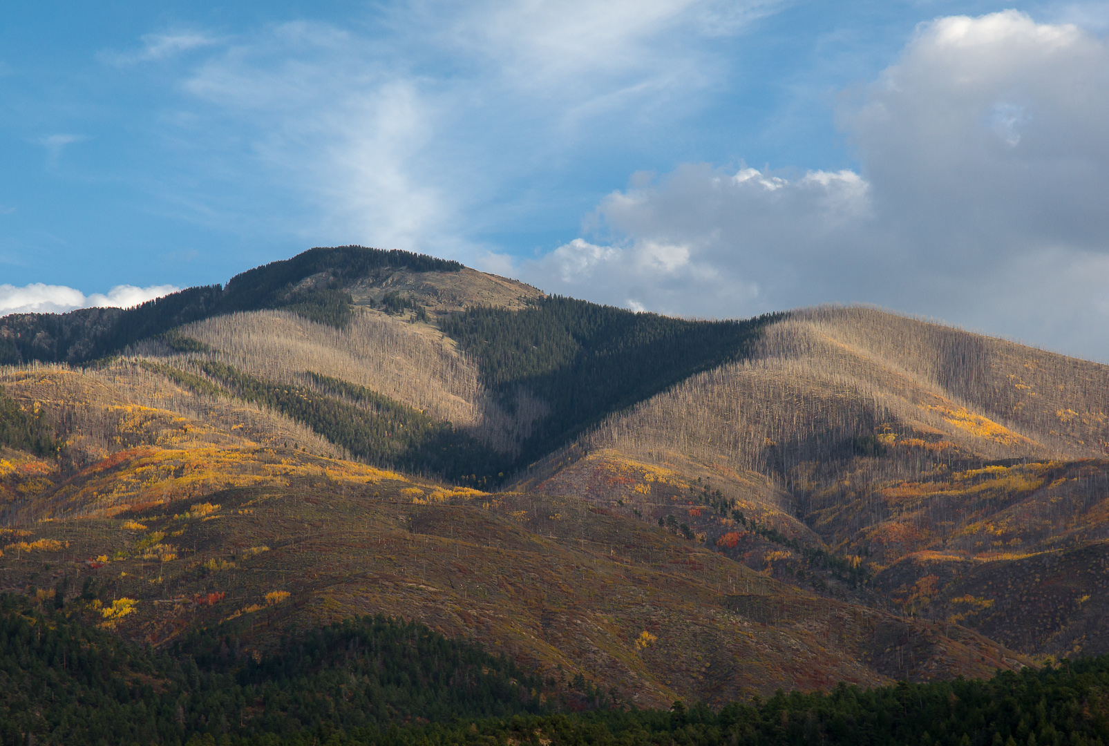
Sangre de Cristo Mountains viewpoint
Sangre de Cristo Mountains viewpoint
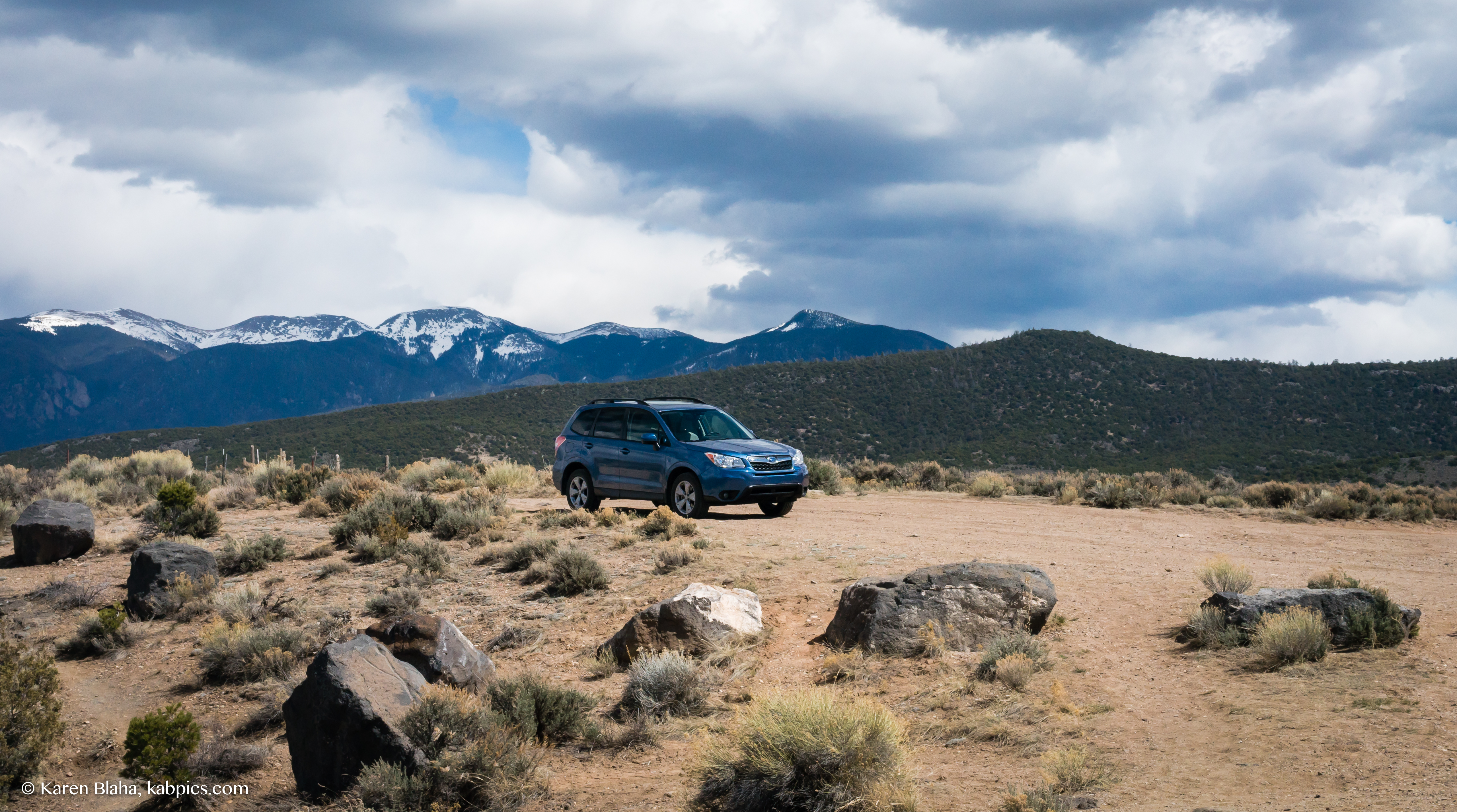
An impromptu car ad?

Sangre de Cristo Mountains at Sheep Crossing
Rio Grande gorge in Northern New Mexico
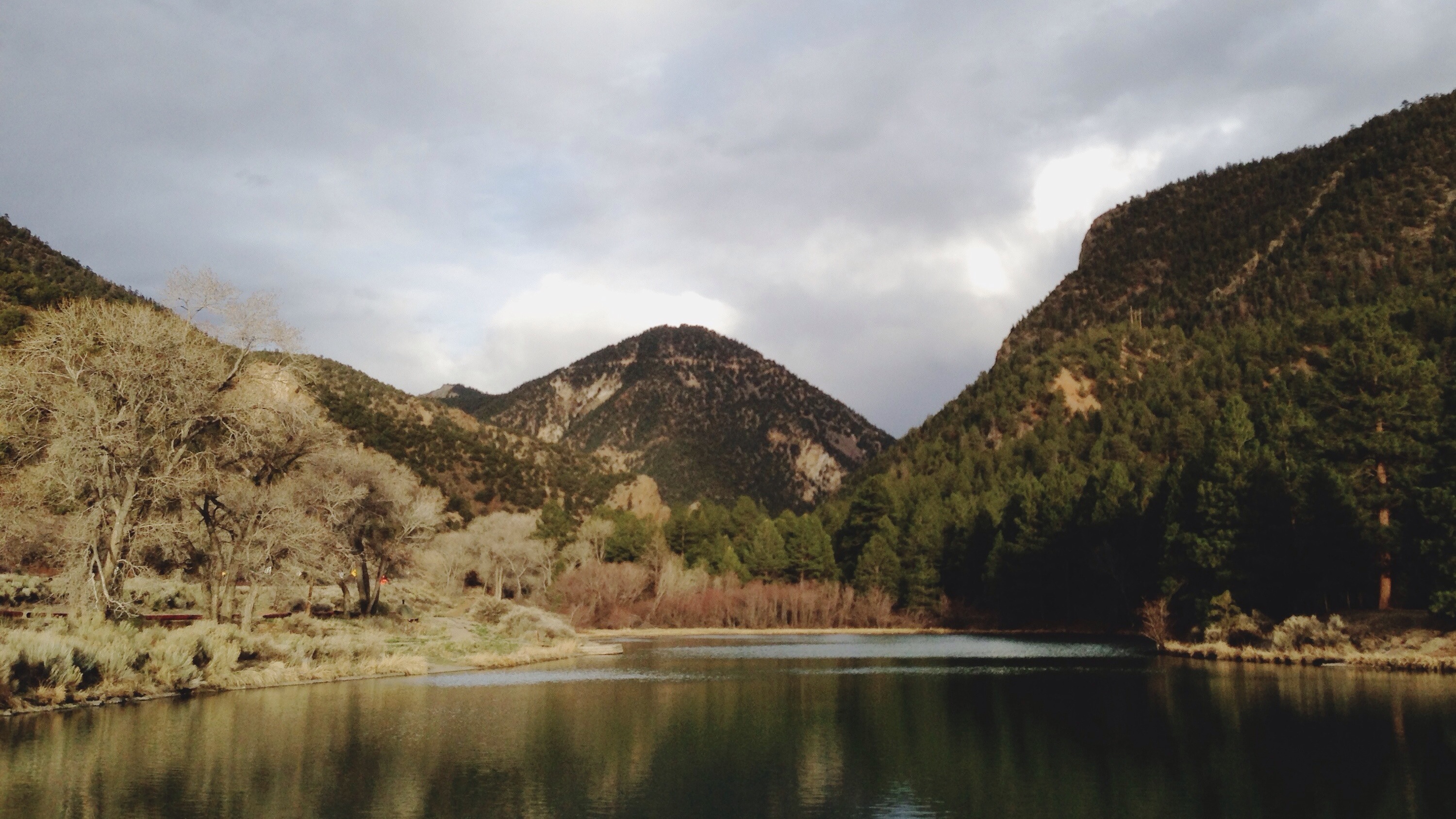
Eagle Rock Lake. Questa, New Mexico
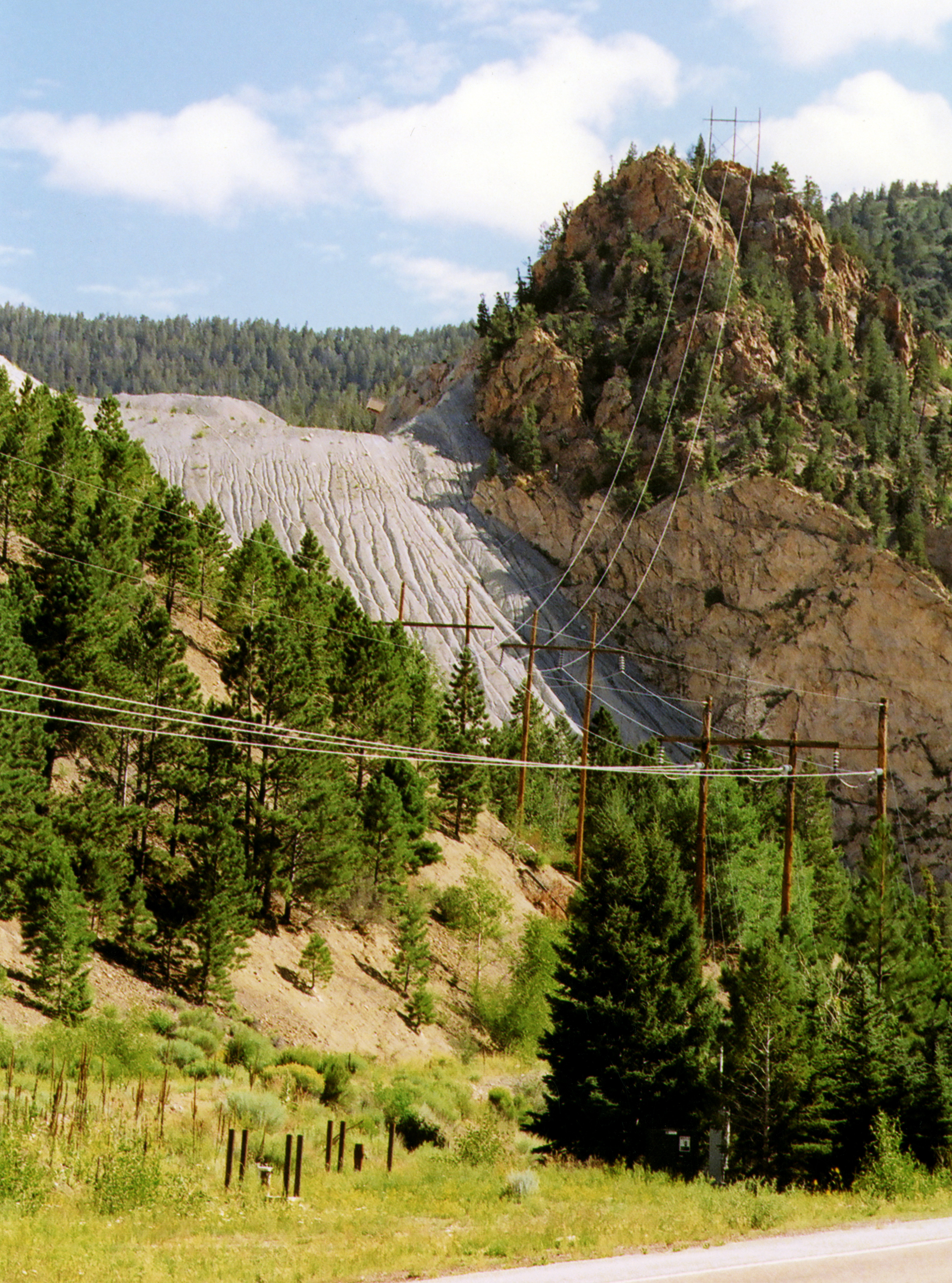
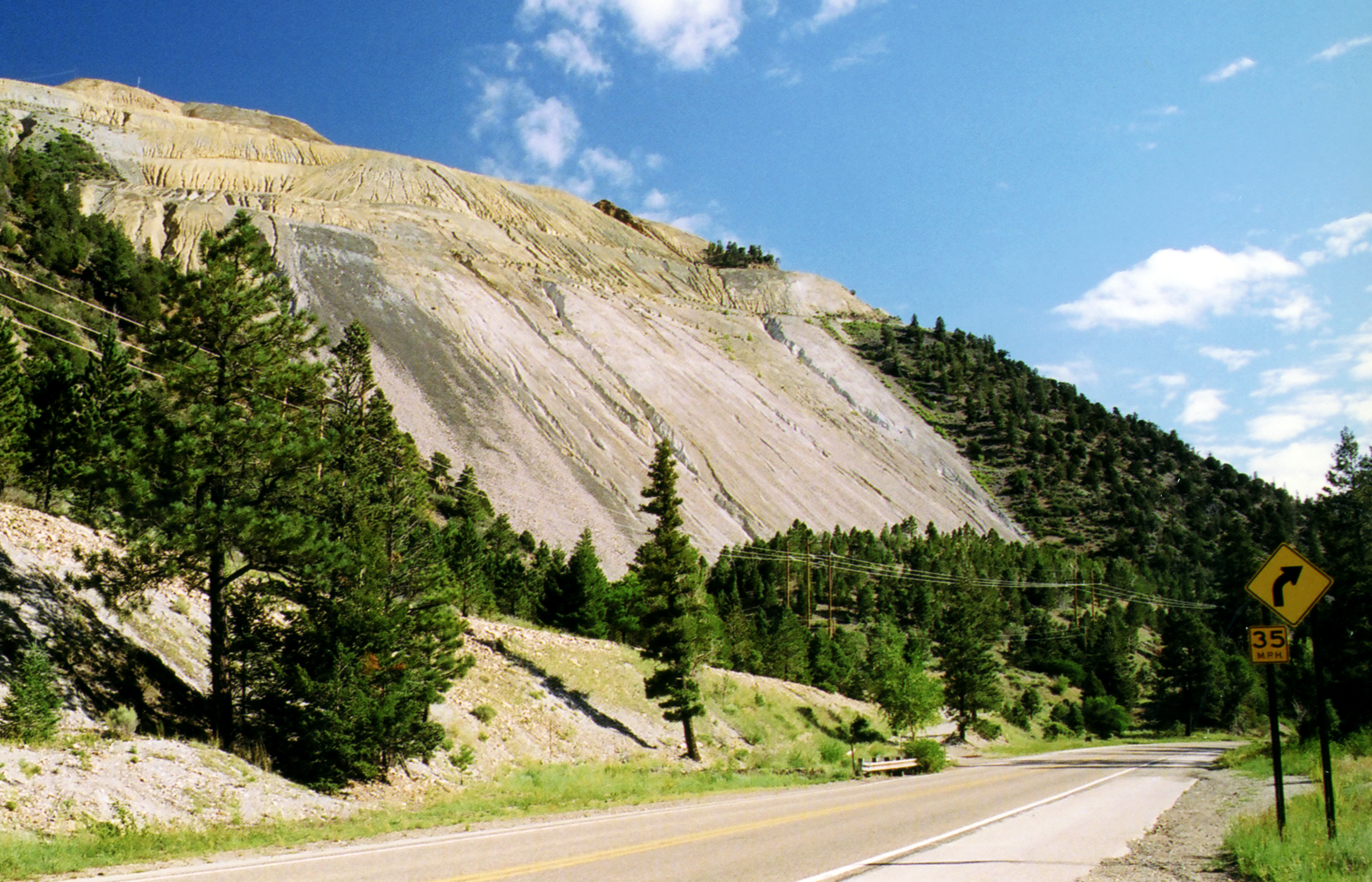
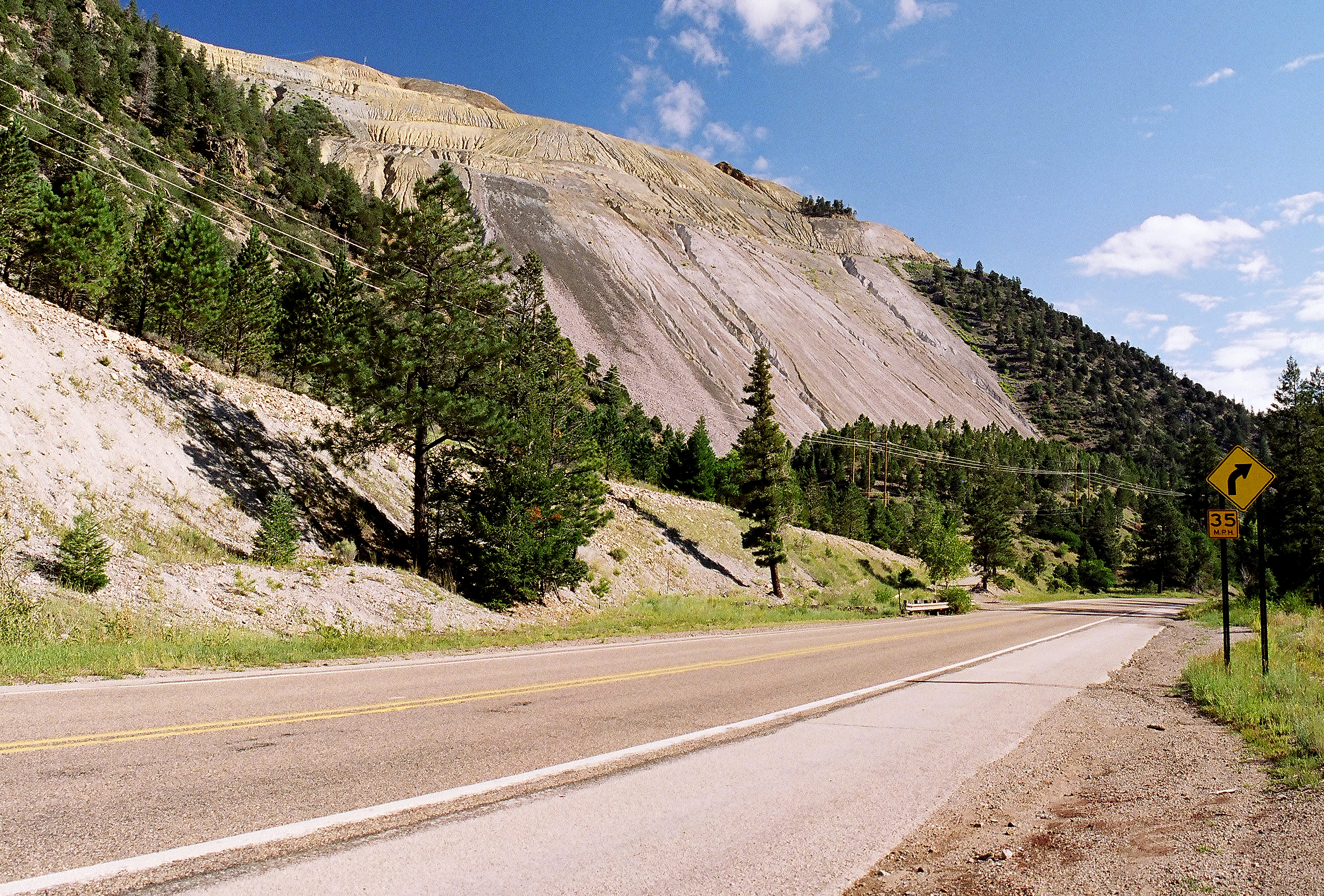
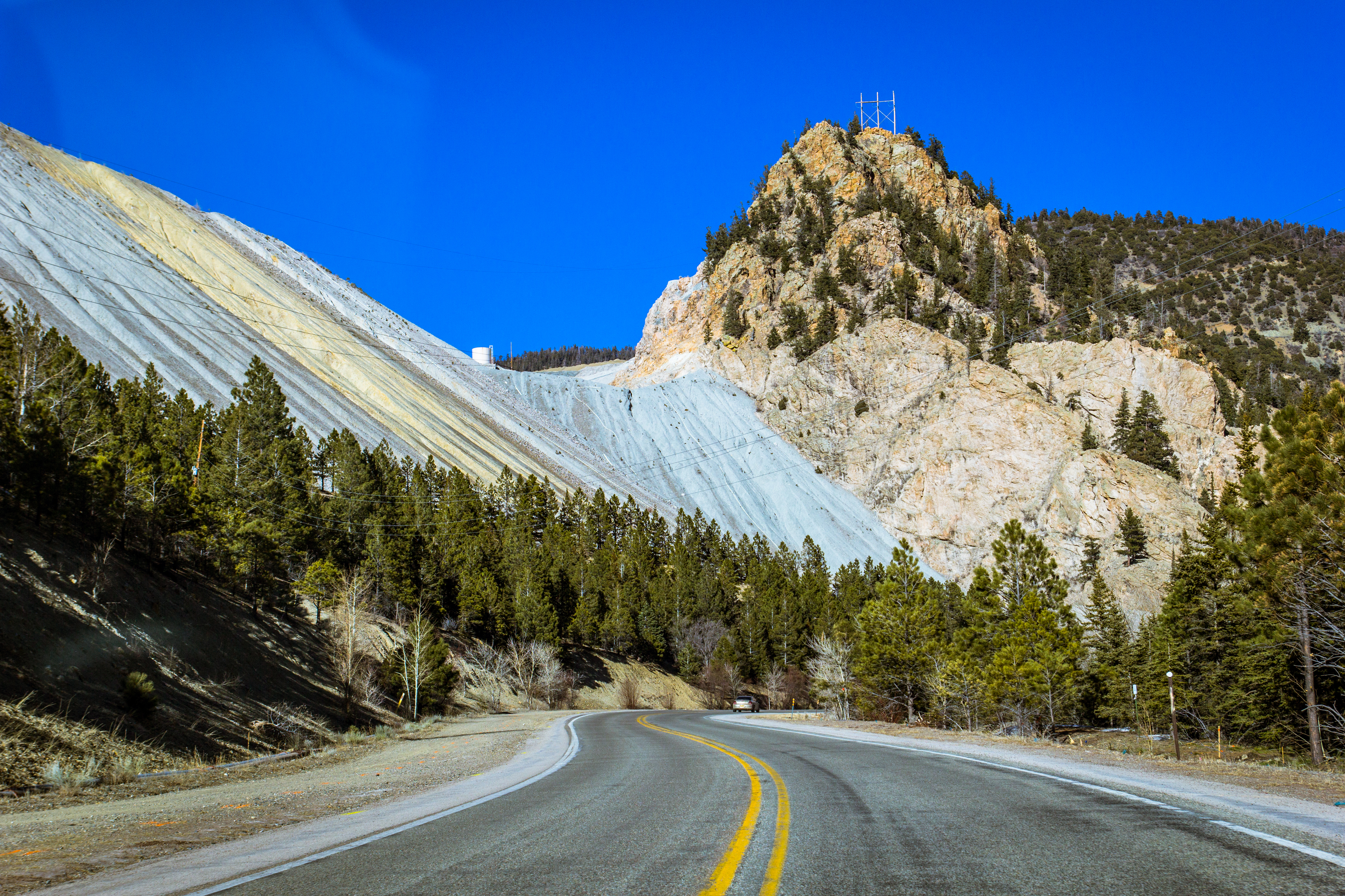
Molycorp Questa Mine 2005
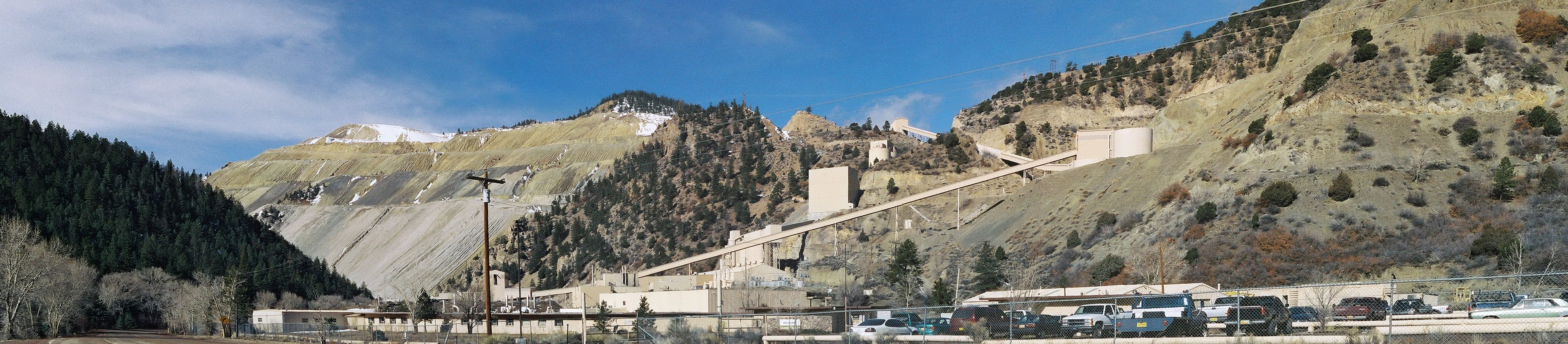
Questa Mine Panorama New Mexico 2006
Molycorp Questa Mine 2005
Questa Mine Panorama New Mexico 2006
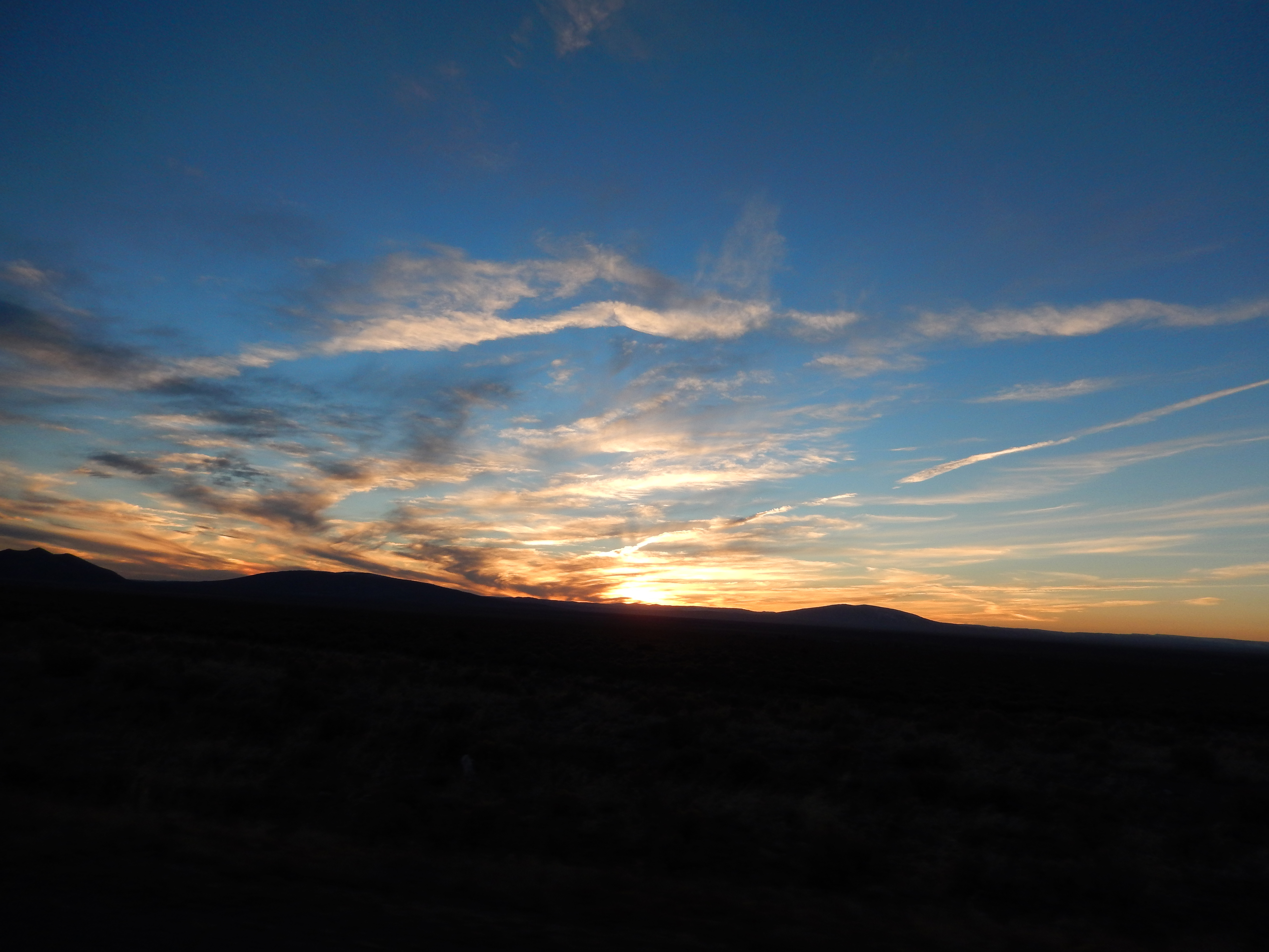
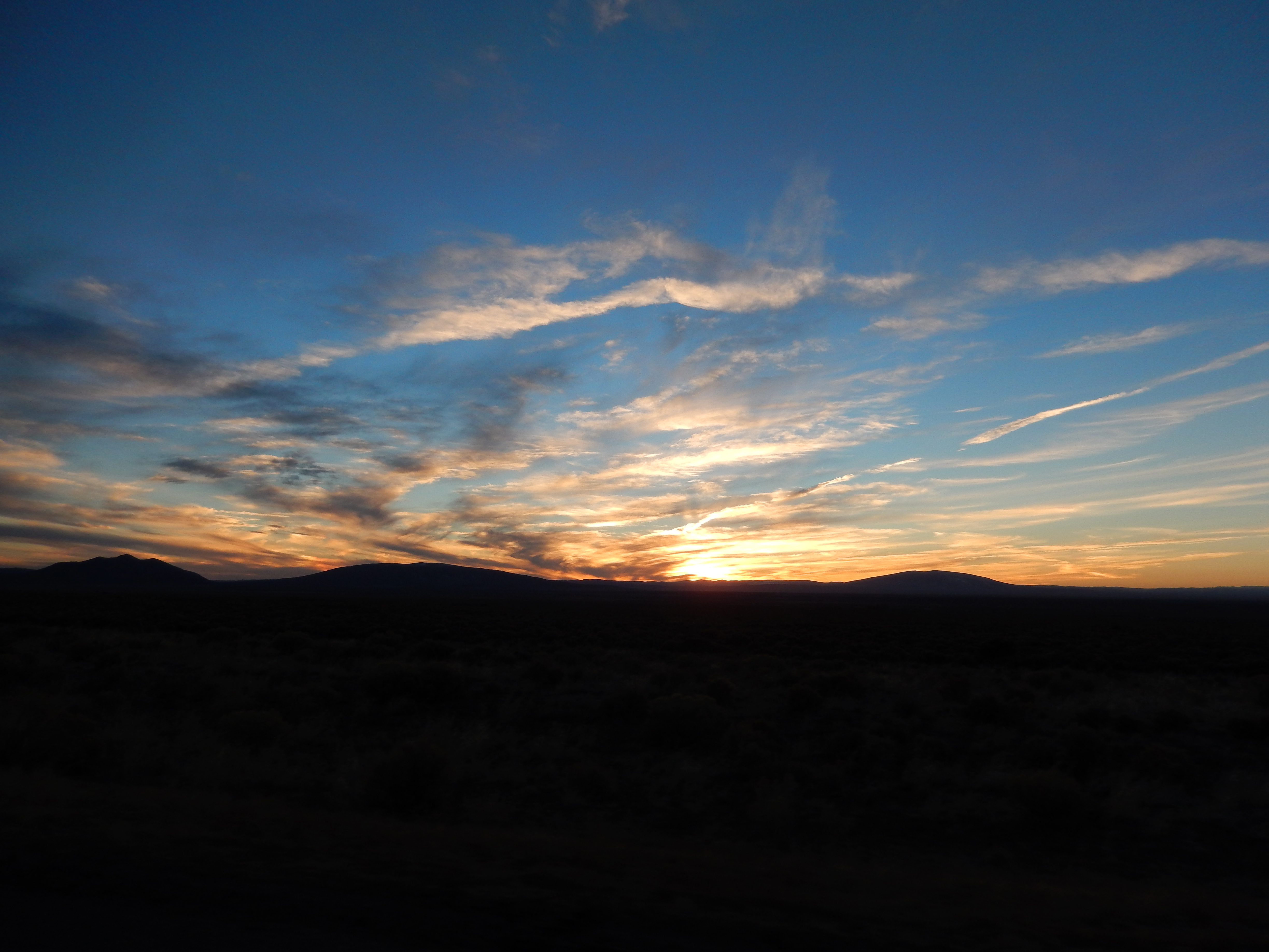
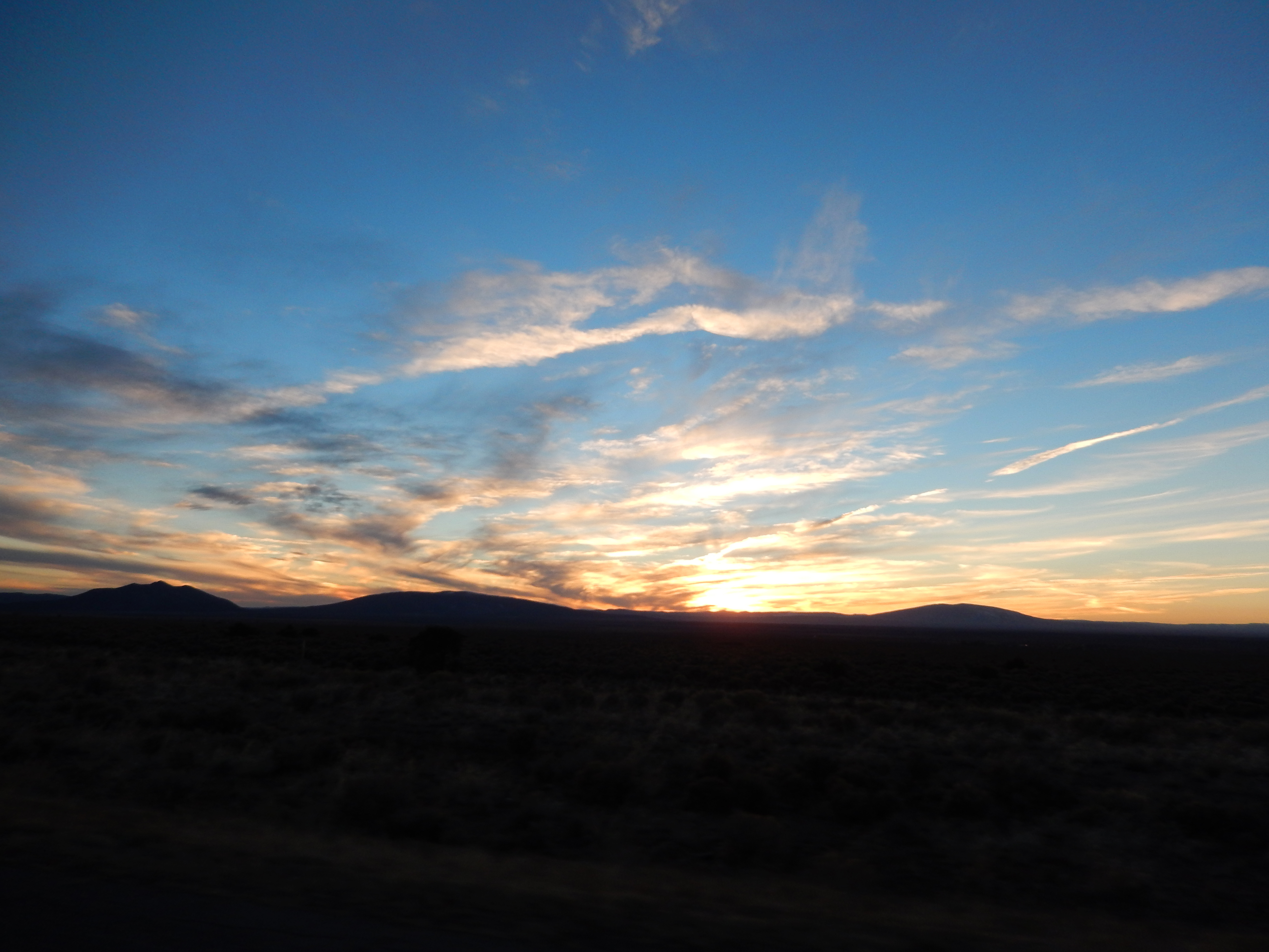
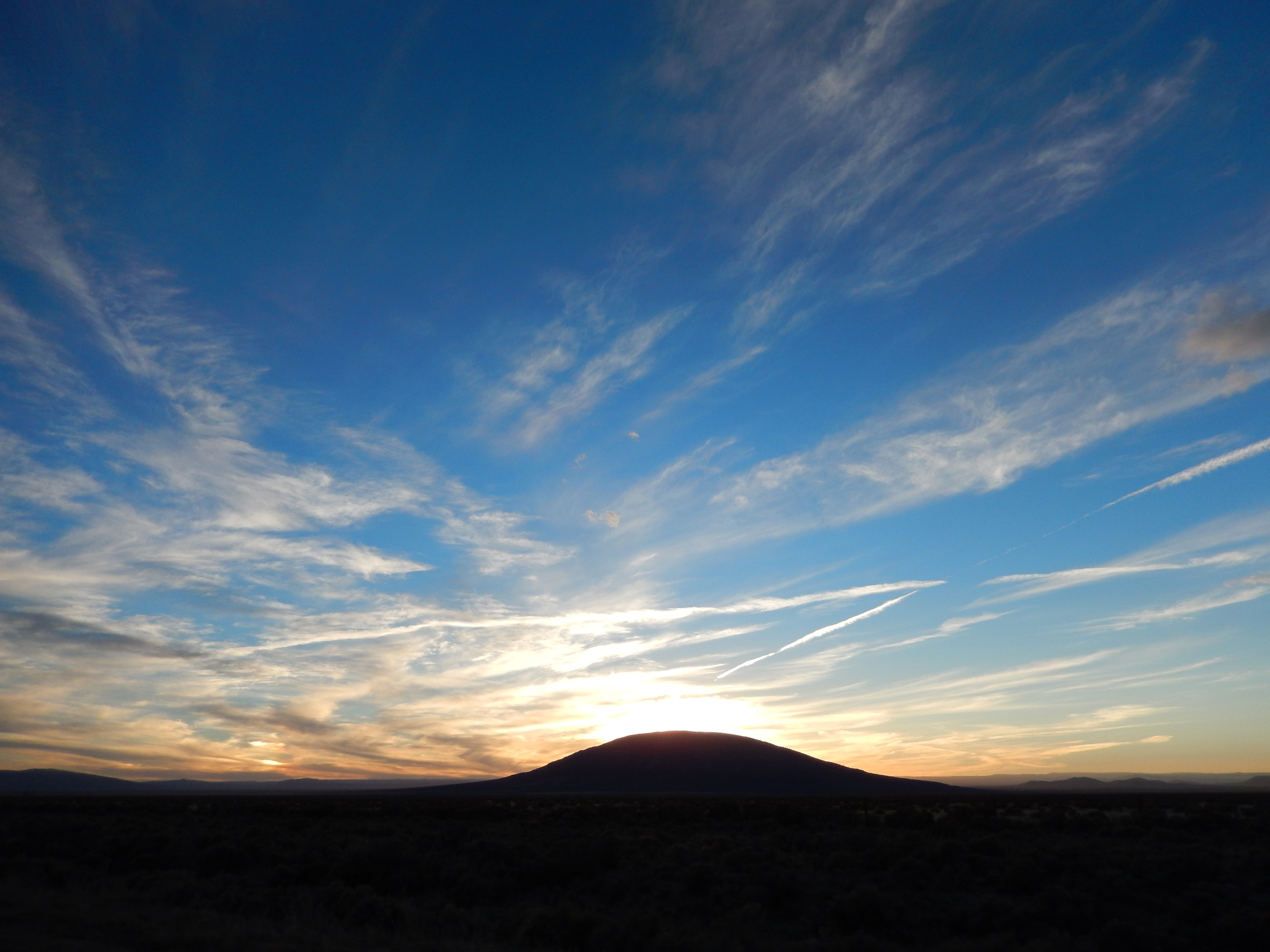
Evening Sky Near El Rito
Sulphur Gulch
ToTaosFeb25 2014 : DSCN8892
ToTaosFeb25 2014 : DSCN8893
ToTaosFeb25 2014 : DSCN8895
Flag Mountain
morning gorge
Flag Mountain HDR
Storm Over Cerro Chiflo
Soooooooo Northern New Mexico is pretty. #newmexico #travel #roadtrip #exploring #photography #BellusPhoto.com #butdefinitelynotsoutheasternnewmexico #mountains
Chasing Doug West
Flag Mountain HDR

ToTaosFeb25 2014 : DSCN8877
1612 - Enchanted Circle
ToTaosFeb25 2014 : DSCN8877
Topographic Map of Quintana Rd, Questa, NM, USA
Find elevation by address:

Places near Quintana Rd, Questa, NM, USA:
5 Latir Rd
6 Dulcimer Rd
77 Latir Rd
66 Latir Rd
Echo Forest Road
Virsylvia Peak
Questa, NM, USA
Upper Pinabete
Lower Pinabete
Lower Pinabete
Lower Pinabete
Lower Pinabete
Lower Pinabete
112 Llano Rd
Latir Peak
Cerro, NM, USA
Guadalupe Mountain North
123 Cabresto Rd
Questa
Guadalupe Mountain South
Recent Searches:
- Elevation of Shibuya Scramble Crossing, 21 Udagawacho, Shibuya City, Tokyo -, Japan
- Elevation of Jadagoniai, Kaunas District Municipality, Lithuania
- Elevation of Pagonija rock, Kranto 7-oji g. 8"N, Kaunas, Lithuania
- Elevation of Co Rd 87, Jamestown, CO, USA
- Elevation of Tenjo, Cundinamarca, Colombia
- Elevation of Côte-des-Neiges, Montreal, QC H4A 3J6, Canada
- Elevation of Bobcat Dr, Helena, MT, USA
- Elevation of Zu den Ihlowbergen, Althüttendorf, Germany
- Elevation of Badaber, Peshawar, Khyber Pakhtunkhwa, Pakistan
- Elevation of SE Heron Loop, Lincoln City, OR, USA