Elevation of Latir Peak, New Mexico, USA
Location: United States > New Mexico > Taos County > Questa >
Longitude: -105.47778
Latitude: 36.8036381
Elevation: 3829m / 12562feet
Barometric Pressure: 63KPa
Elevation Map:
Satellite Map:
Related Photos:

Red River Pass
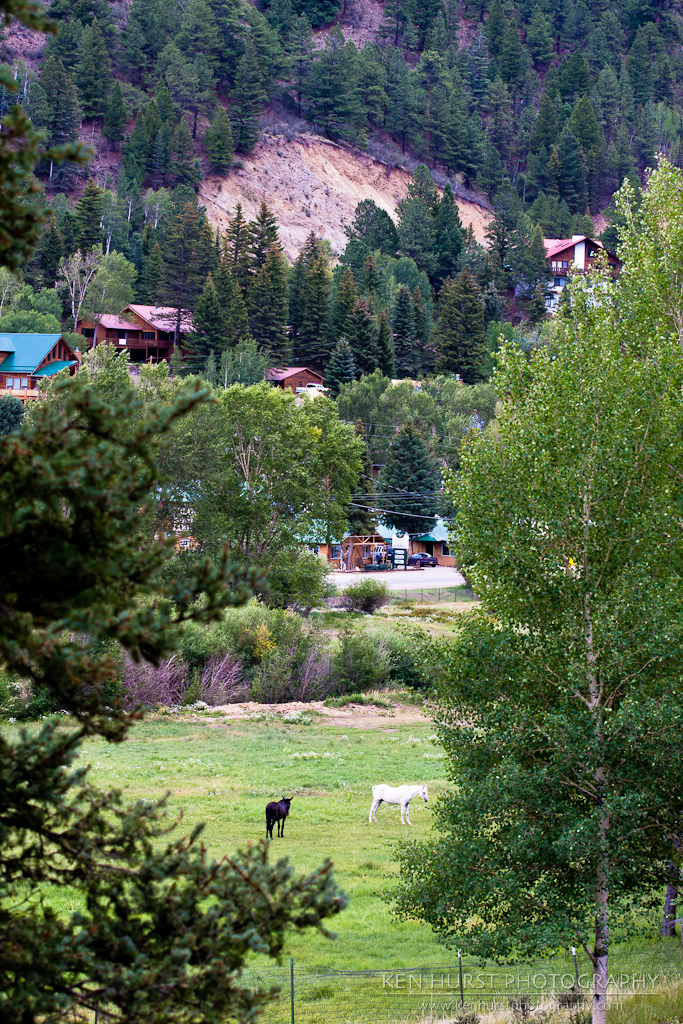
Red River, New Mexico
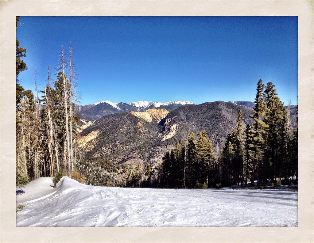
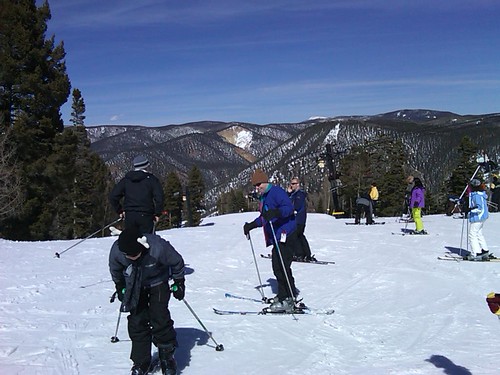
View from 10,000 feet
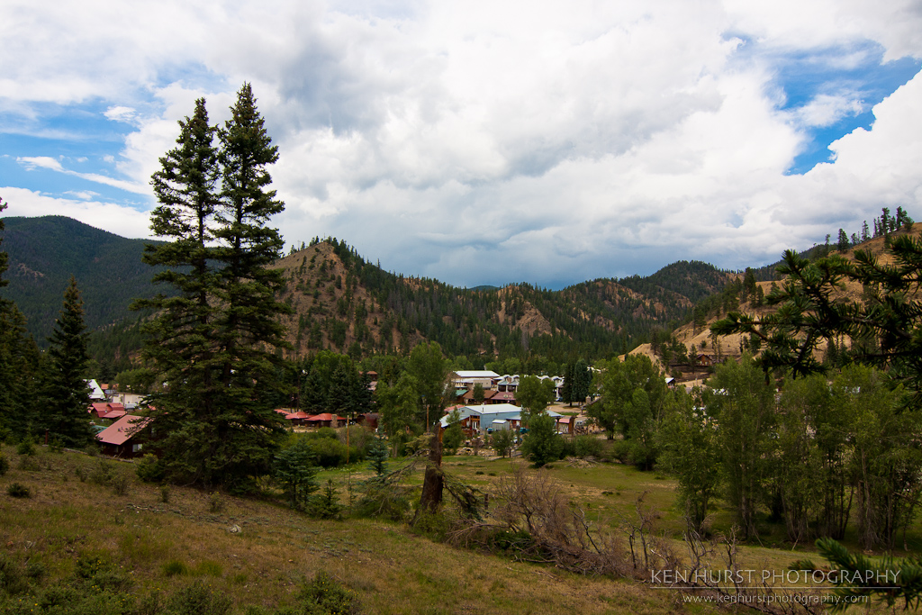
Pastoral New Mexico
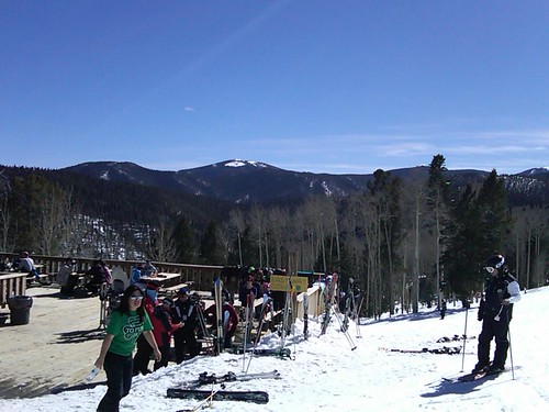
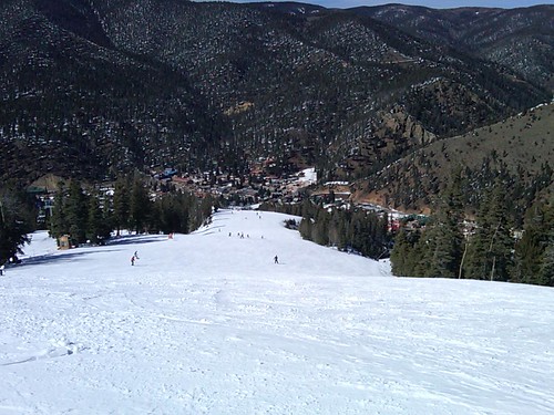
View from the top
The view of Broadway (a blue)
View from the top

Stunt Area View from the Lift

The Forgotten Old West
Topographic Map of Latir Peak, New Mexico, USA
Find elevation by address:

Places near Latir Peak, New Mexico, USA:
Virsylvia Peak
Questa, NM, USA
77 Latir Rd
143 Quintana Rd
5 Latir Rd
Lorien Road
6 Dulcimer Rd
Echo Forest Road
66 Latir Rd
Upper Pinabete
Lower Pinabete
Lower Pinabete
Lower Pinabete
Lower Pinabete
Lower Pinabete
112 Llano Rd
123 Cabresto Rd
Questa
Guadalupe Mountain North
Flag Mountain
Recent Searches:
- Elevation of Corso Fratelli Cairoli, 35, Macerata MC, Italy
- Elevation of Tallevast Rd, Sarasota, FL, USA
- Elevation of 4th St E, Sonoma, CA, USA
- Elevation of Black Hollow Rd, Pennsdale, PA, USA
- Elevation of Oakland Ave, Williamsport, PA, USA
- Elevation of Pedrógão Grande, Portugal
- Elevation of Klee Dr, Martinsburg, WV, USA
- Elevation of Via Roma, Pieranica CR, Italy
- Elevation of Tavkvetili Mountain, Georgia
- Elevation of Hartfords Bluff Cir, Mt Pleasant, SC, USA