Elevation of Vanderbilt St, Fairfax, IA, USA
Location: United States > Iowa > Linn County > Fairfax > Fairfax >
Longitude: -91.780725
Latitude: 41.919488
Elevation: 236m / 774feet
Barometric Pressure: 99KPa
Elevation Map:
Satellite Map:
Related Photos:

Hotel Roosevelt ~ Cedar Rapids Iowa ~ Historical Hotel
Middle Amana, Iowa
The North Western
Norway-Iowa, that is.

Scattered view.
January 30th
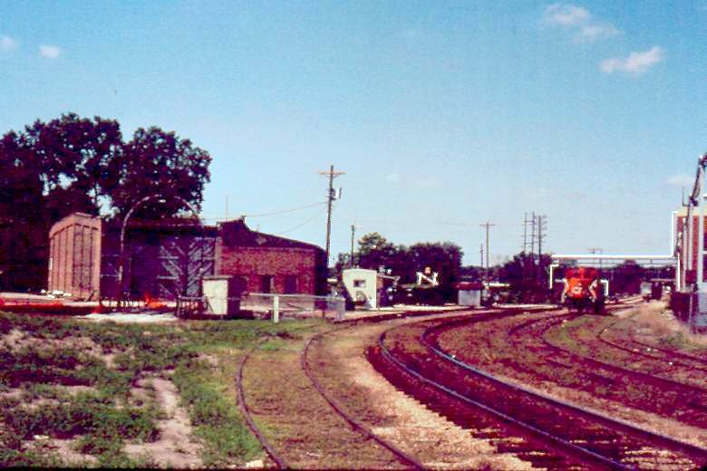
Illinois Central Freight House, Cedar Rapids, IA. 6/2000.
2003.17.1

Now from a new view!
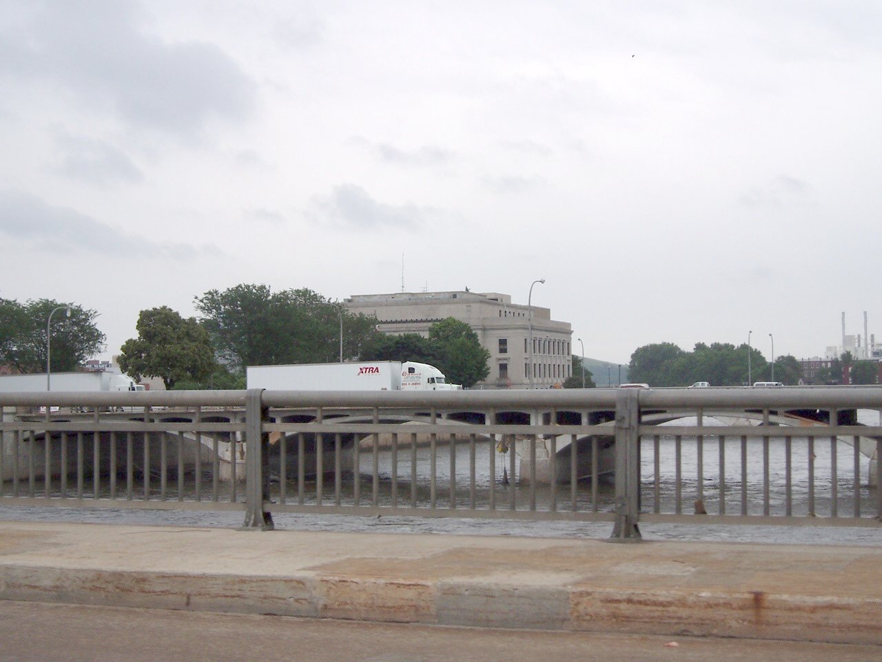
View from 1st Ave bridge West

Brian Webb
Hidden from View

Cedar Rapids at Night. RAGBRAI XL.

Good Morning, Cedar Rapids!
Flooded Cedar Rapids
5-in-1 Bridge lower level (2)
Flood of '08-39
Flood of '08-24

CRST school CRIA
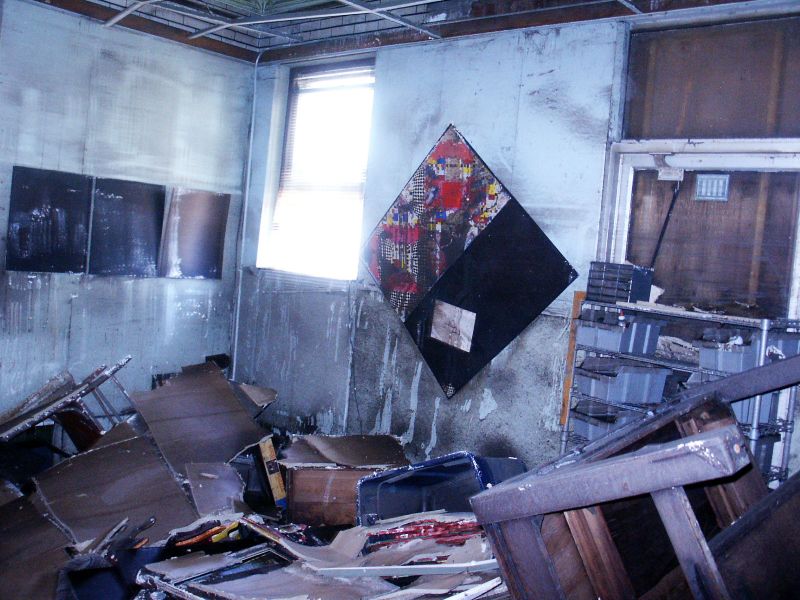
Mel's studio showing flood damage
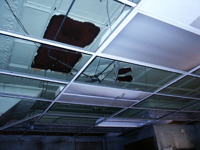
The Firehouse ceiling
19/365

Yellow & Blue.
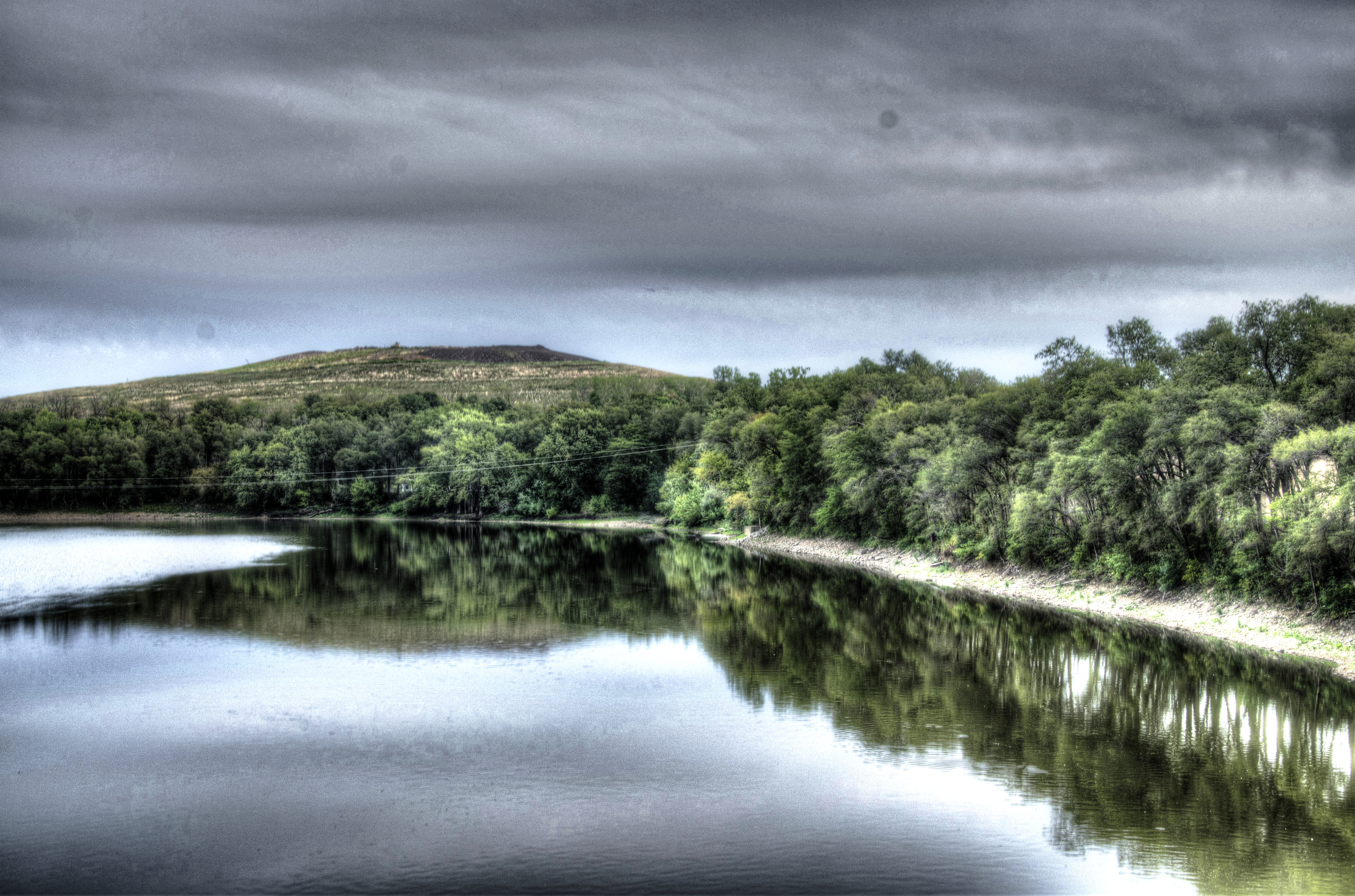
Sunset at Cedar Lake

Jones Side Hill
Tupelo (2)
Boy, you're gonna carry that weight . . . (5 of 8)

DSC01072.ARW
Benjamin is on the far right of the driving range getting ready for the 1st round of the 2015 Iowa State High School Golf Tournament. #muskienation #elmcrestgolf @elmcrestcc

#goodmorningiowa heading back to the 413 now.

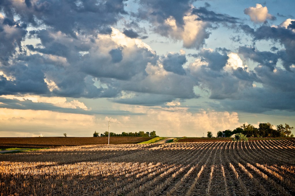
Cloud patch.

Beautiful day for some baseball. (If a bit chilly.) Let's go VMS!! #VSCOcam #vms #vernon #baseball

Looking down the hill
DSC00129.ARW
Cedar River
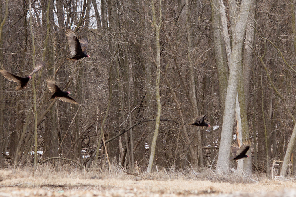
Turkey Vultures
20141220-112400-57
Sunburst Honeylocust. #bark

January 29th
Sky after a storm.
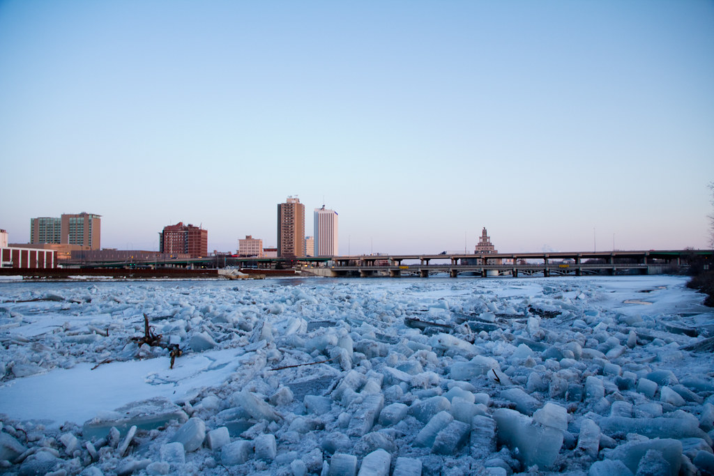
Ice River
Blue Steel took a picture!
Topographic Map of Vanderbilt St, Fairfax, IA, USA
Find elevation by address:

Places near Vanderbilt St, Fairfax, IA, USA:
Fairfax
Fairfax
425 Rockhurst Dr Sw
3rd St N, Walford, IA, USA
Walford
7086 Worcester Rd
1362 Derby Ave Nw
N Glen Dr, Palo, IA, USA
Clinton
Florence
76 Main Ave, Atkins, IA, USA
Atkins
Fremont
Norway
Main St, Norway, IA, USA
Newhall
Railroad St, Newhall, IA, USA
Turner St, Watkins, IA, USA
Watkins
St. Clair
Recent Searches:
- Elevation of Falling Spring Rd, Clyde, NC, USA
- Elevation of Kingsfield St, Castle Rock, CO, USA
- Elevation of AMELIA CT HSE, VA, USA
- Elevation of Abbey Dr, Virginia Beach, VA, USA
- Elevation of Brooks Lp, Spearfish, SD, USA
- Elevation of Panther Dr, Maggie Valley, NC, USA
- Elevation of Jais St - Wadi Shehah - Ras al Khaimah - United Arab Emirates
- Elevation of Shawnee Avenue, Shawnee Ave, Easton, PA, USA
- Elevation of Scenic Shore Dr, Kingwood Area, TX, USA
- Elevation of W Prive Cir, Delray Beach, FL, USA