Elevation of Florence, IA, USA
Location: United States > Iowa > Benton County >
Longitude: -91.890388
Latitude: 41.9239831
Elevation: 258m / 846feet
Barometric Pressure: 98KPa
Elevation Map:
Satellite Map:
Related Photos:
Norway-Iowa, that is.
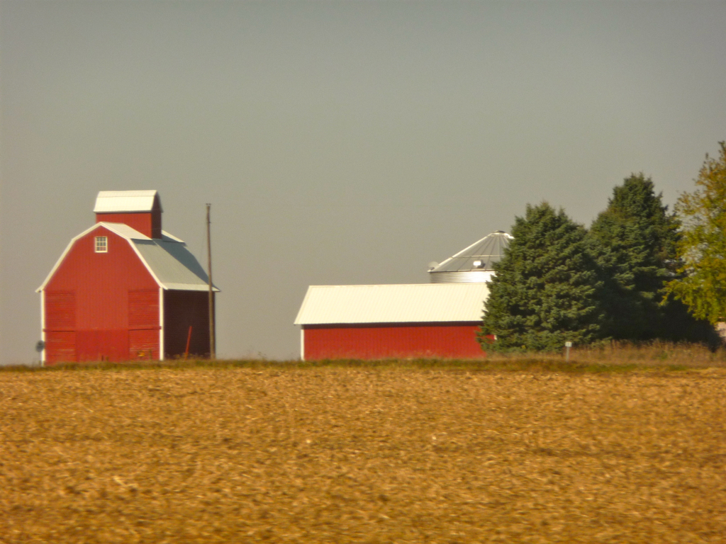
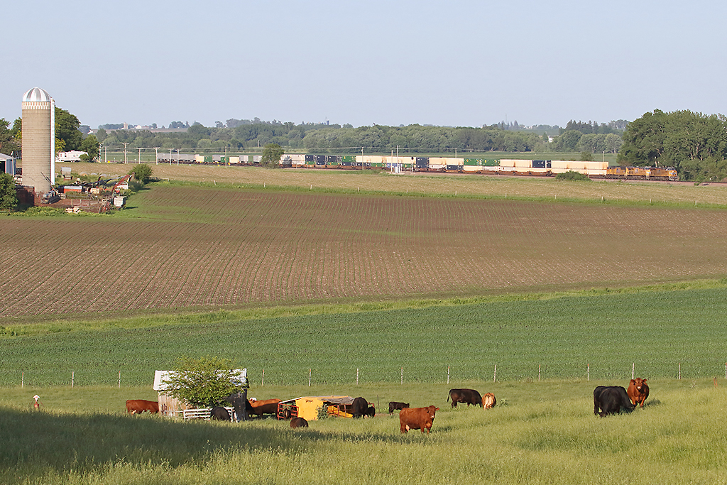
Iowa: Farmstead near Clinton

CRST school CRIA
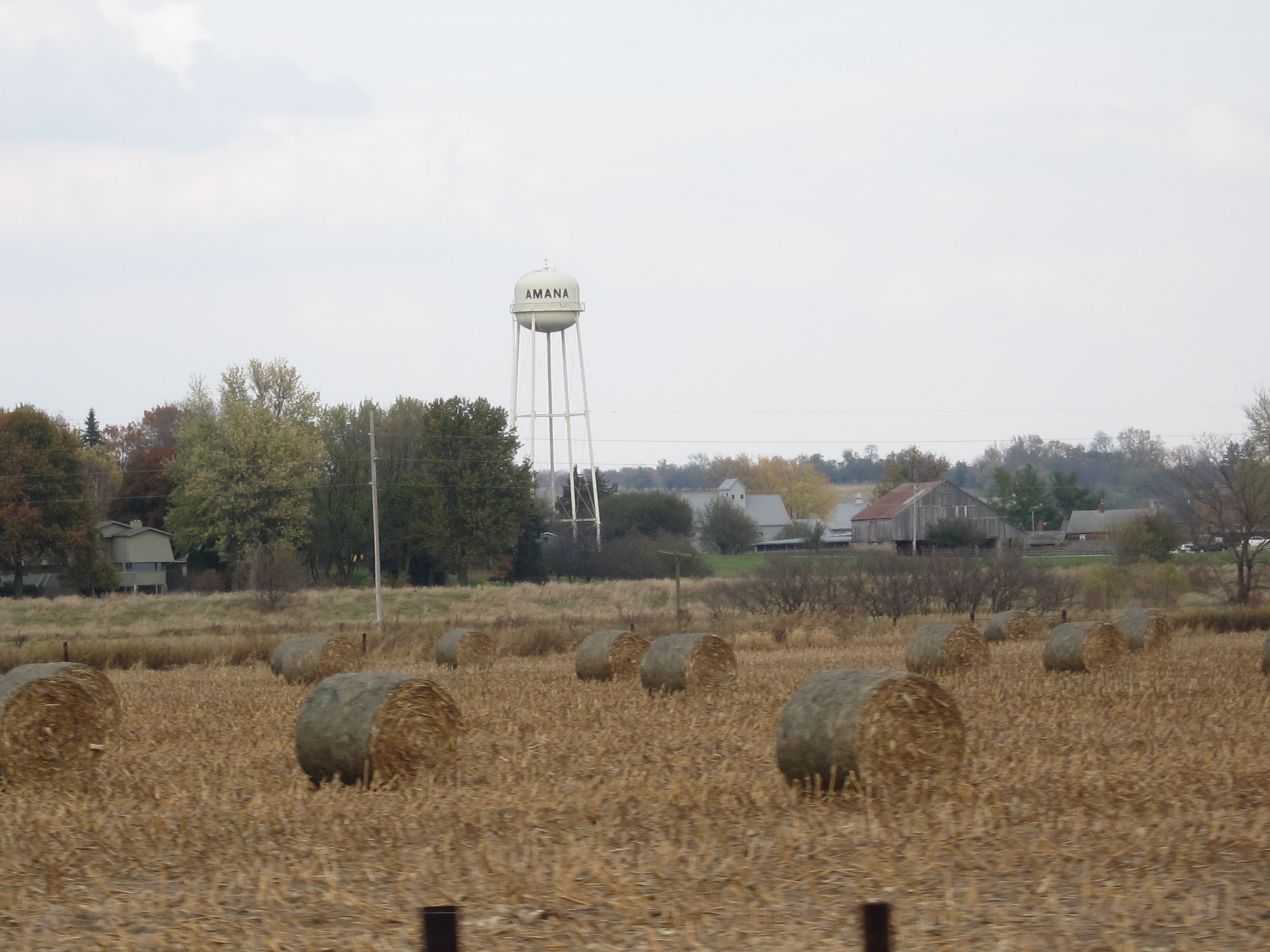
View of Amana from Road 10-11
Middle Amana, Iowa

Scattered view.
Rainy Brick

A view from aft
Amana General Store Visit 11-30-16 01
Walk around Amana 5-3-16 23
Walk around Amana 5-3-16 26
Walk around Amana 5-3-16 01
Amana Ronneburg Resaurant 4-21-16 01
Amana Ronneburg Resaurant 4-21-16 02

A view from the cockpit
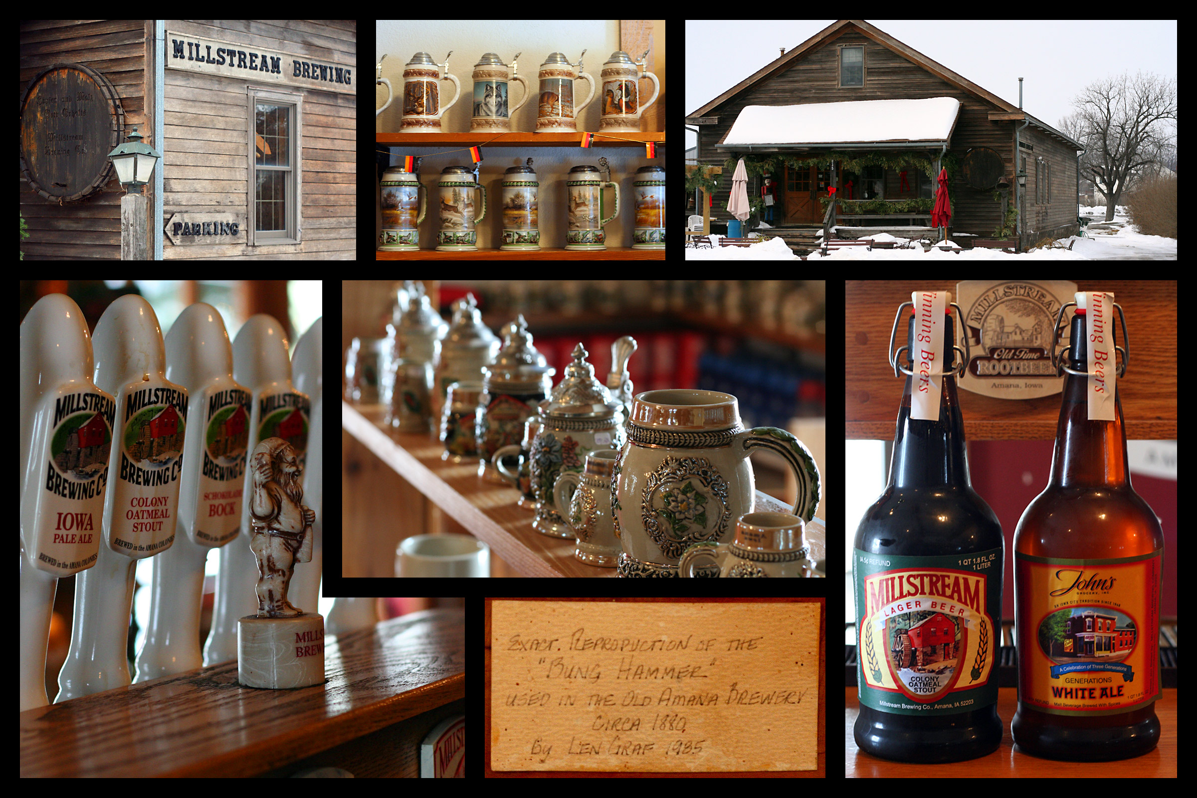
Millstream Brewing Company

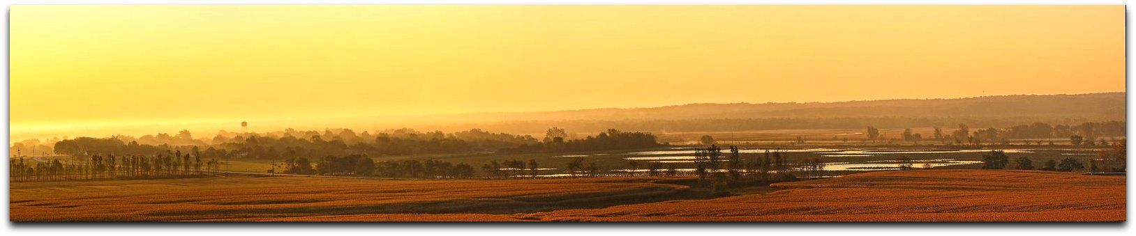
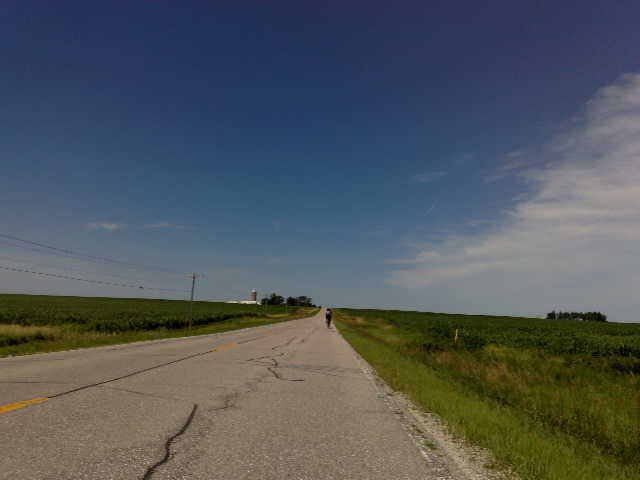
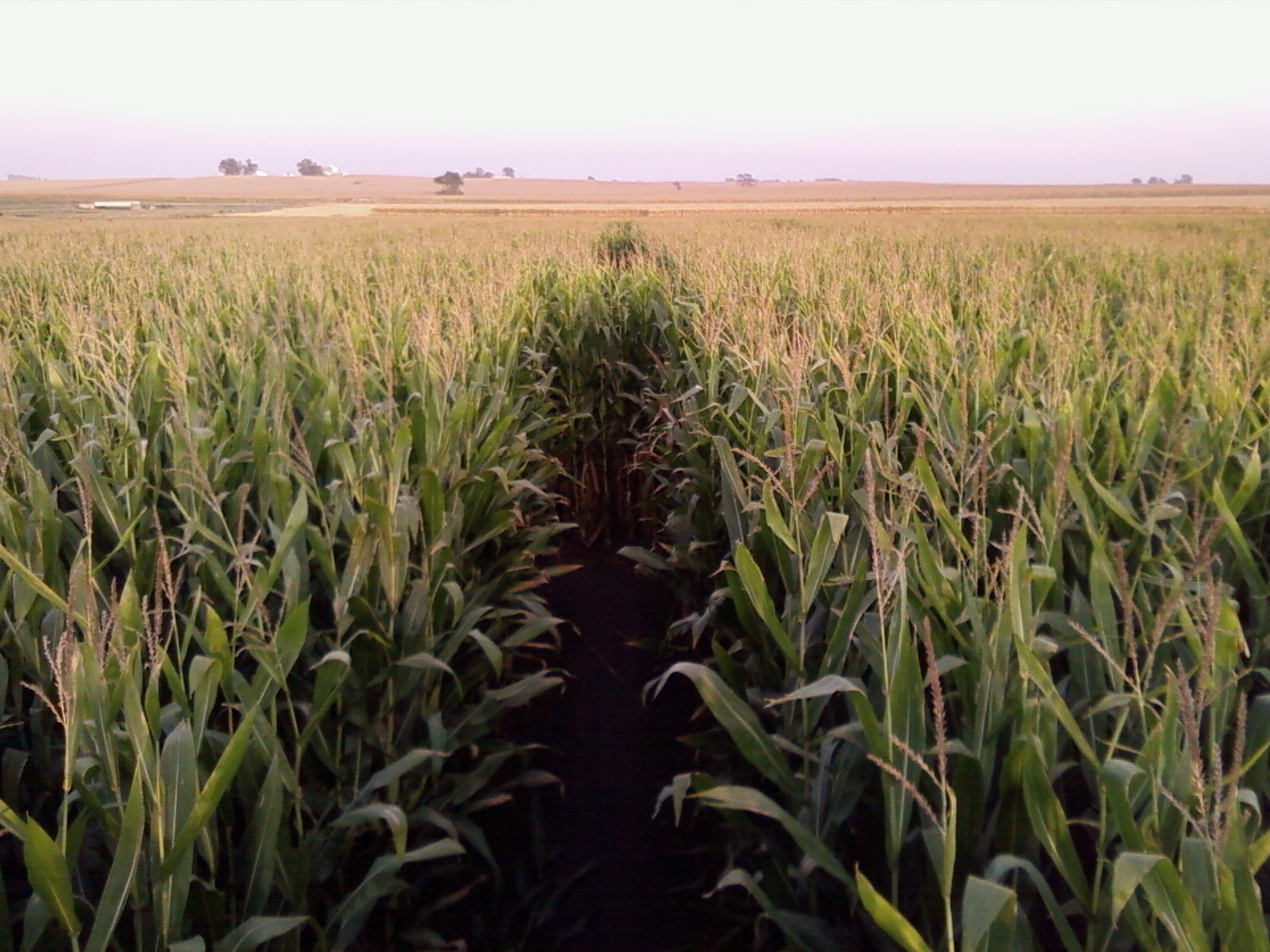
Across a sea of corn

Sacred Ground - Prairie Lutheran Cemetery
Blue Steel took a picture!
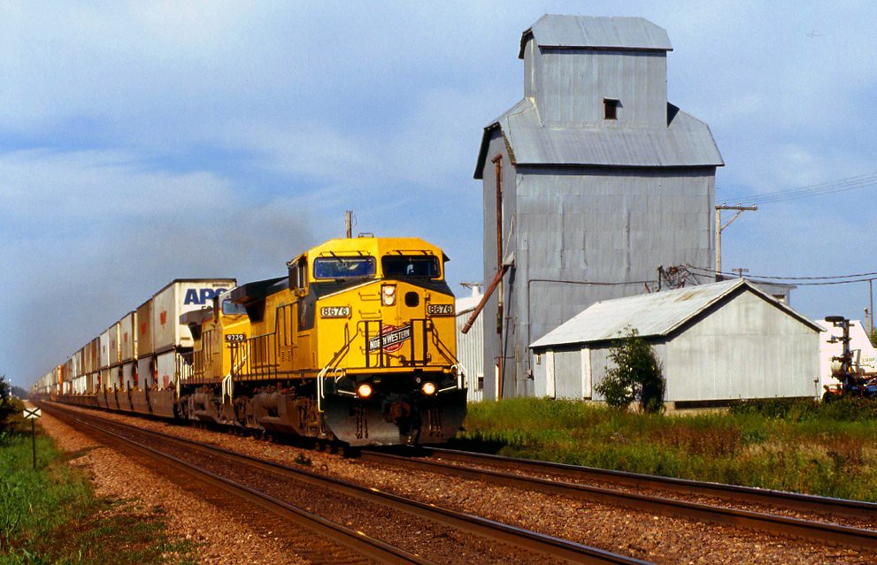
UP 2542 Westbound ZG1BRB West of Norway IA
Blue Steel took a picture!

Fields of soybeans
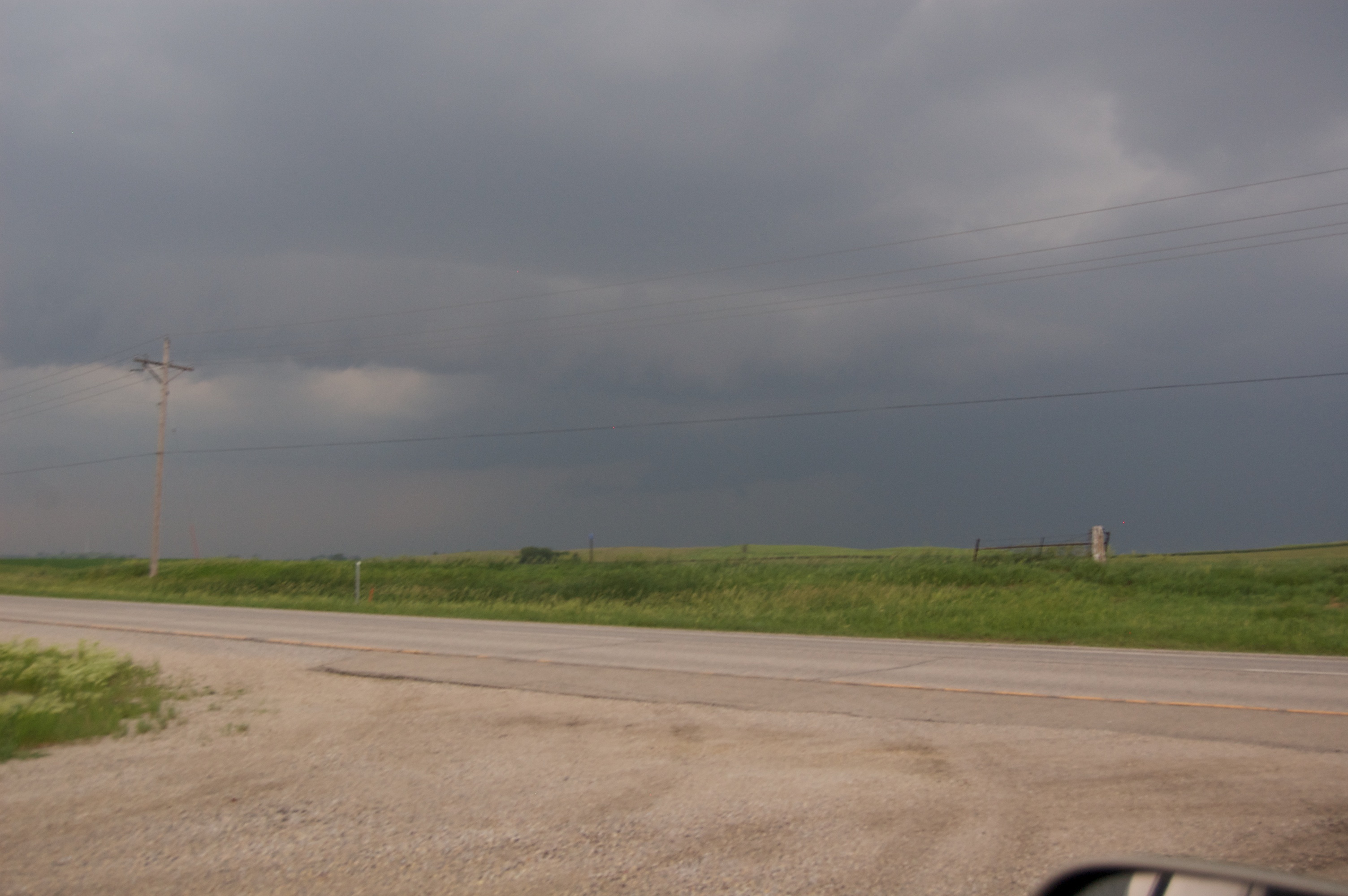
Storm 6_8_2011 337
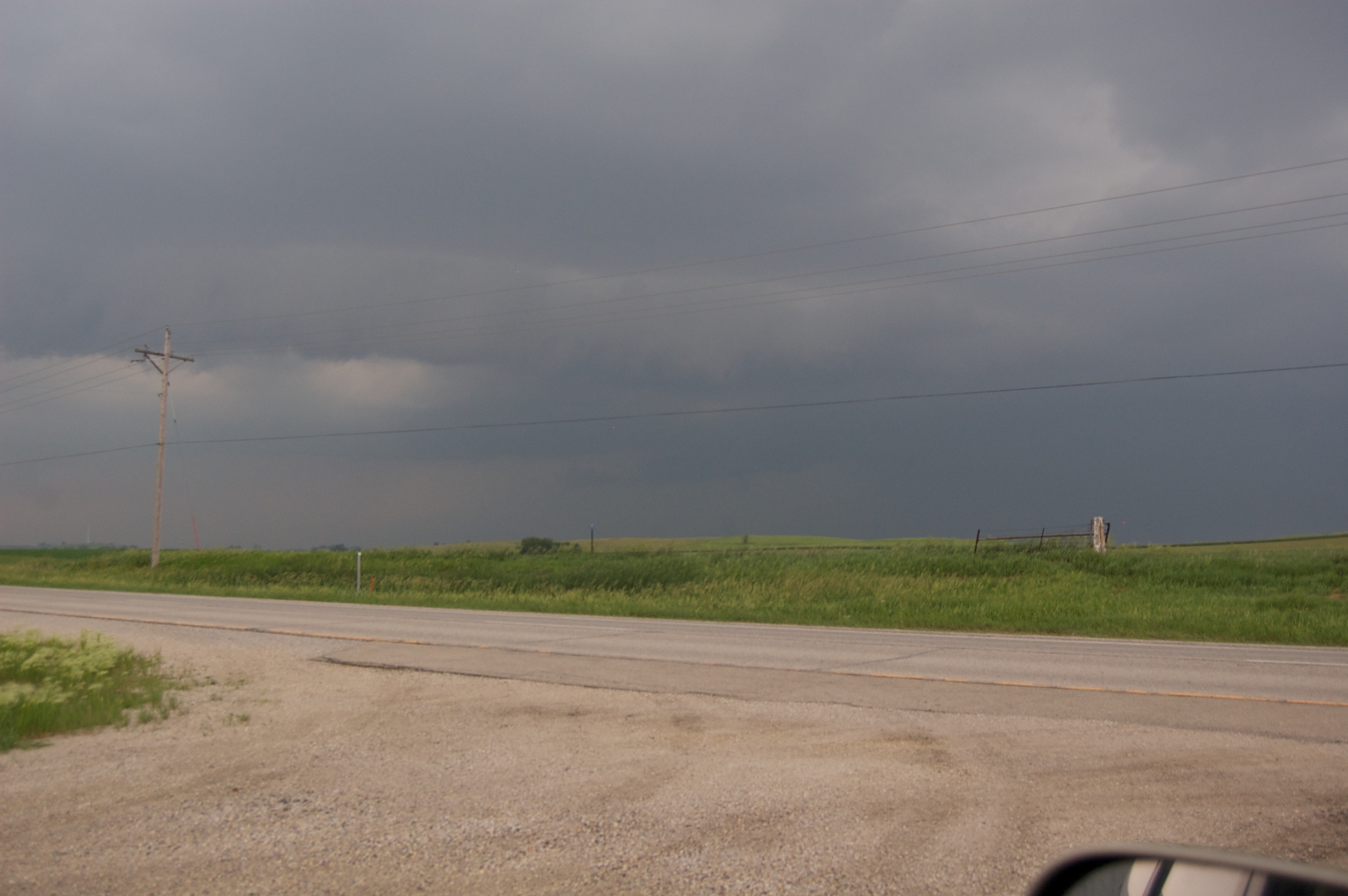
Storm 6_8_2011 336
Corn Maze @ Bloomsbury Farm
137-3753_IMG

Yellow & Blue.
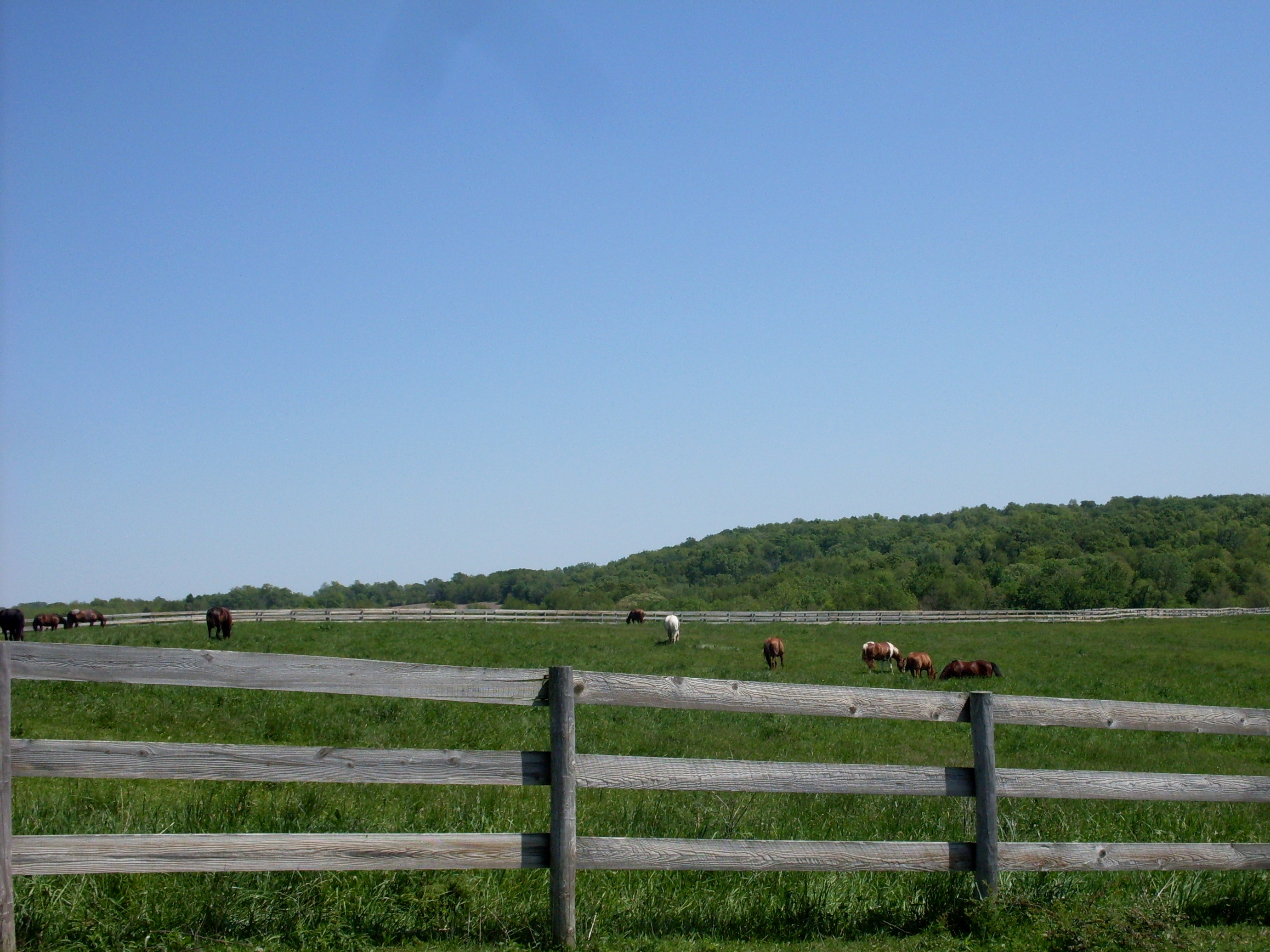
Horses in the Pasture (8)

Amana Colonies
DSC00129.ARW
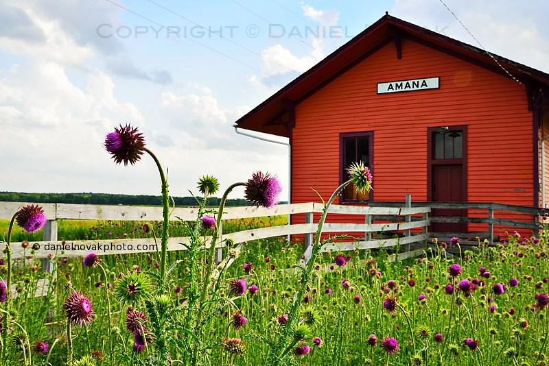
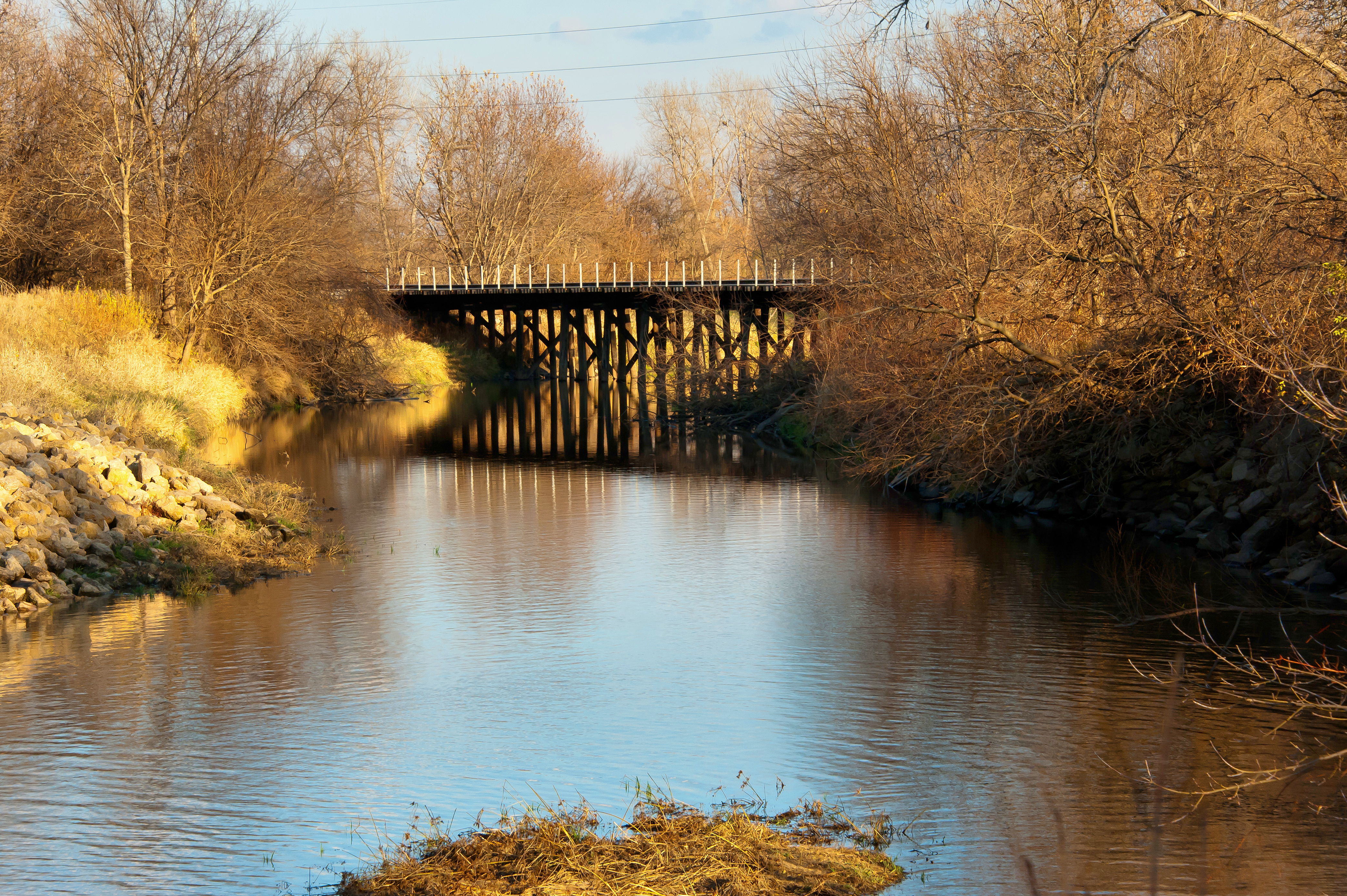
Old Train Station in Amana, Iowa (IA) (DTA_4465)

Cloud patch.

DSC01072.ARW
Sunburst Honeylocust. #bark
Blue Steel took a picture!
Bridge over Mill Race at Main Amana, Iowa
Topographic Map of Florence, IA, USA
Find elevation by address:

Places in Florence, IA, USA:
Places near Florence, IA, USA:
Main St, Norway, IA, USA
Norway
3rd St N, Walford, IA, USA
Walford
Atkins
76 Main Ave, Atkins, IA, USA
Fremont
Turner St, Watkins, IA, USA
Watkins
Newhall
Railroad St, Newhall, IA, USA
Fairfax
Vanderbilt St, Fairfax, IA, USA
Clinton
St. Clair
Fairfax
425 Rockhurst Dr Sw
Eldorado
7086 Worcester Rd
N Glen Dr, Palo, IA, USA
Recent Searches:
- Elevation of W Granada St, Tampa, FL, USA
- Elevation of Pykes Down, Ivybridge PL21 0BY, UK
- Elevation of Jalan Senandin, Lutong, Miri, Sarawak, Malaysia
- Elevation of Bilohirs'k
- Elevation of 30 Oak Lawn Dr, Barkhamsted, CT, USA
- Elevation of Luther Road, Luther Rd, Auburn, CA, USA
- Elevation of Unnamed Road, Respublika Severnaya Osetiya — Alaniya, Russia
- Elevation of Verkhny Fiagdon, North Ossetia–Alania Republic, Russia
- Elevation of F. Viola Hiway, San Rafael, Bulacan, Philippines
- Elevation of Herbage Dr, Gulfport, MS, USA