Elevation of Van Buren Township, IN, USA
Location: United States > Indiana > Grant County >
Longitude: -85.499419
Latitude: 40.6081207
Elevation: 256m / 840feet
Barometric Pressure: 98KPa
Elevation Map:
Satellite Map:
Related Photos:

Dump Truck & Fierce Sky

Keep Out HDR

Two Trucks HDR

Marion Coliseum 2013 wide view

A Portal View

View from the top

Eastbrook Gym wide view

Mississinewa Gym-Wide View
Zig Zag
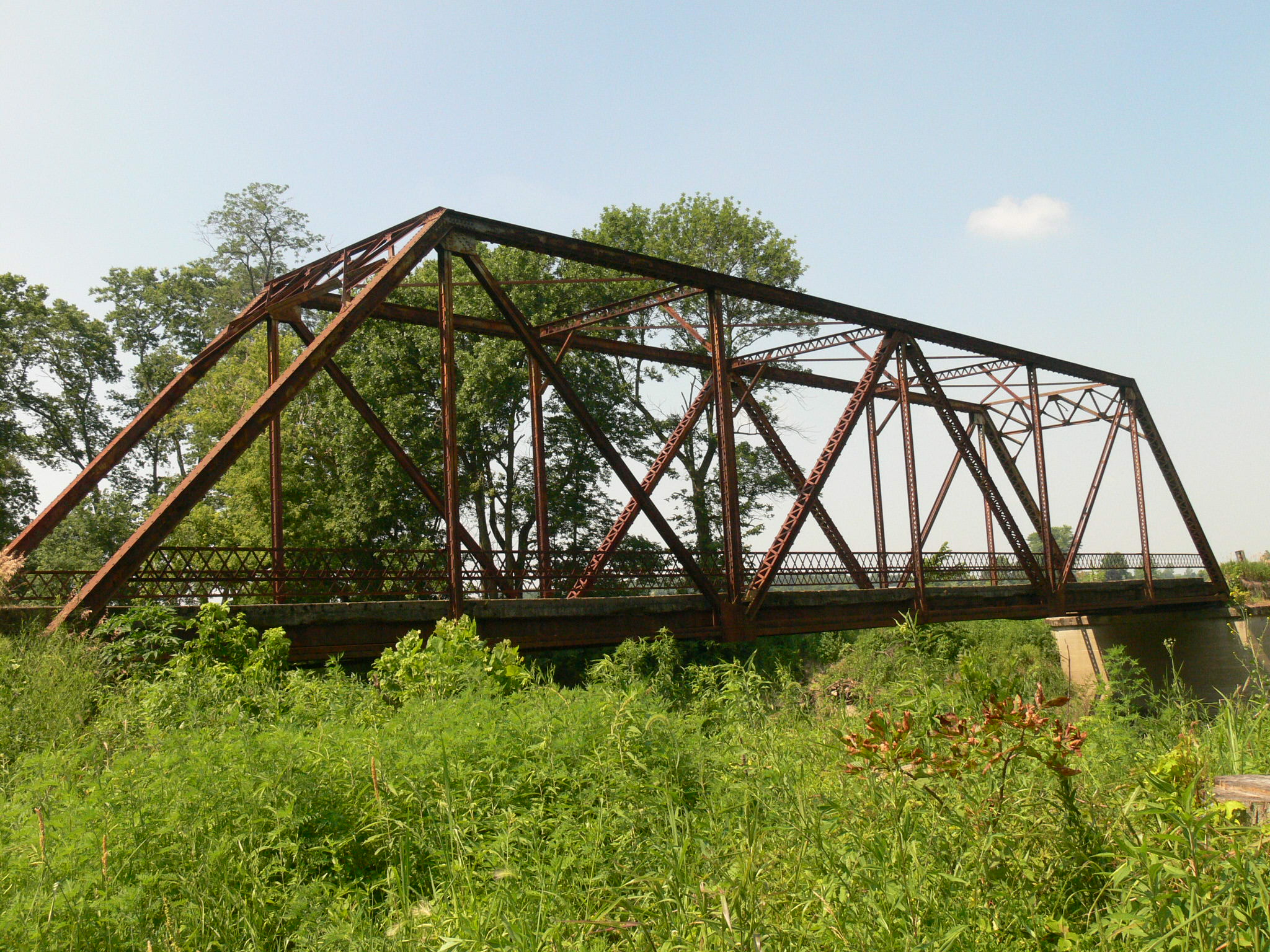
Old Crossing- Marion, Indiana

My Photo Stream-43

Sunset - Indiana

My Photo Stream-44

My Photo Stream-39

20090602_Housing Development_46

Salamonie Reservoir; Huntington County, Indiana

Flying Home

You looking at me???
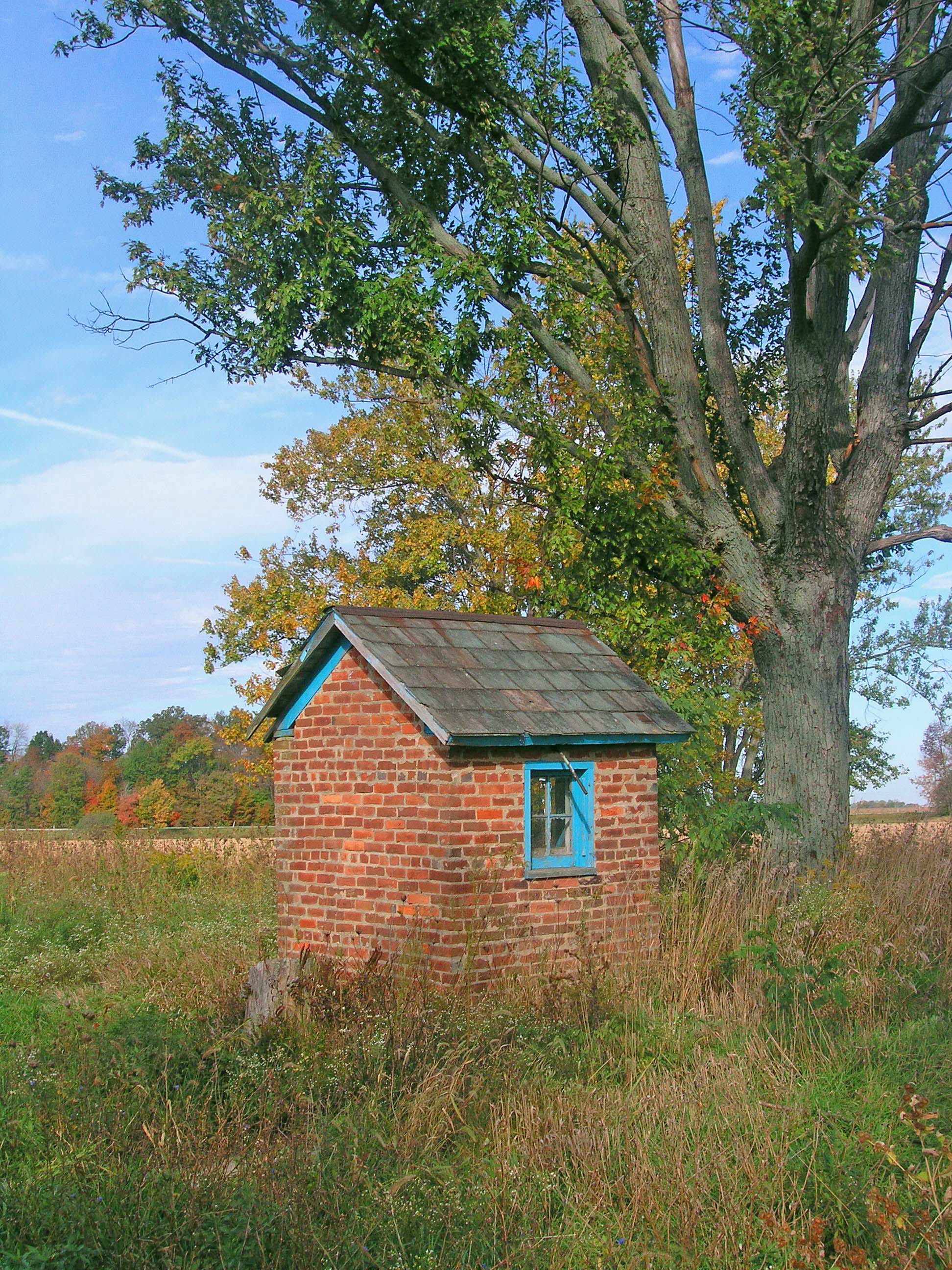
The Milkhouse

20080602_FITS (24)

#skyview #skyline #Indiana
Topographic Map of Van Buren Township, IN, USA
Find elevation by address:

Places in Van Buren Township, IN, USA:
Places near Van Buren Township, IN, USA:
Van Buren
E N, Marion, IN, USA
N E, Marion, IN, USA
IN-18, Marion, IN, USA
W S, Van Buren, IN, USA
4404 N 600 E
4404 N 600 E
Monroe Township
45 S E, Marion, IN, USA
Jadden Rd, Marion, IN, USA
7800 E 200 S
Warren
S W, Warren, IN, USA
NW Shadeland Rd, Marion, IN, USA
2812 W 500 N
1264 N Bethlehem Rd
N W, Hartford City, IN, USA
Washington Township
Jackson Township
8545 Se Jeff Rd-90
Recent Searches:
- Elevation of Tenjo, Cundinamarca, Colombia
- Elevation of Côte-des-Neiges, Montreal, QC H4A 3J6, Canada
- Elevation of Bobcat Dr, Helena, MT, USA
- Elevation of Zu den Ihlowbergen, Althüttendorf, Germany
- Elevation of Badaber, Peshawar, Khyber Pakhtunkhwa, Pakistan
- Elevation of SE Heron Loop, Lincoln City, OR, USA
- Elevation of Slanický ostrov, 01 Námestovo, Slovakia
- Elevation of Spaceport America, Co Rd A, Truth or Consequences, NM, USA
- Elevation of Warwick, RI, USA
- Elevation of Fern Rd, Whitmore, CA, USA