Elevation of Van Buren, IN, USA
Location: United States > Indiana > Grant County > Van Buren Township >
Longitude: -85.504695
Latitude: 40.6172654
Elevation: 259m / 850feet
Barometric Pressure: 98KPa
Elevation Map:
Satellite Map:
Related Photos:
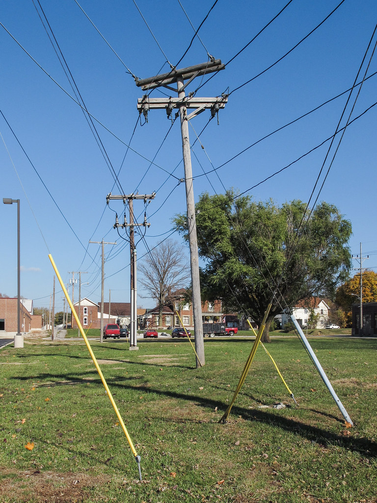
A picture of Indiana Michigan Power, a subsidiary of American Electric Power.
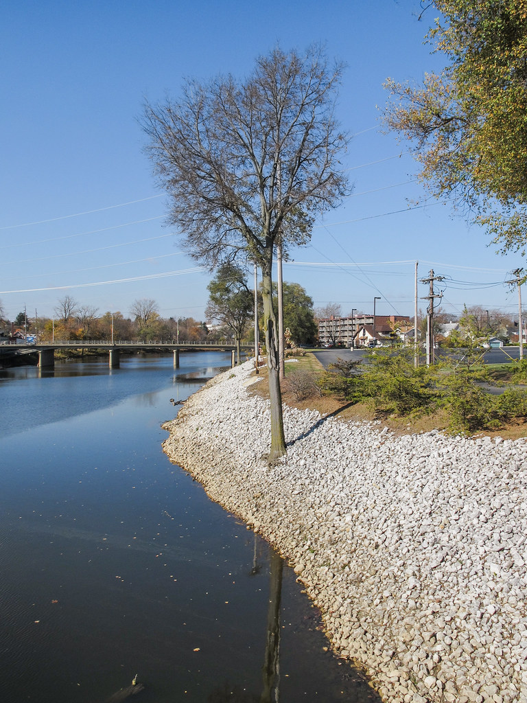
Got us a Mississinewa River riverbank riprap tree.

Dump Truck & Fierce Sky

Keep Out HDR

Two Trucks HDR

Marion Coliseum 2013 wide view

A Portal View

Eastbrook Gym wide view
Zig Zag
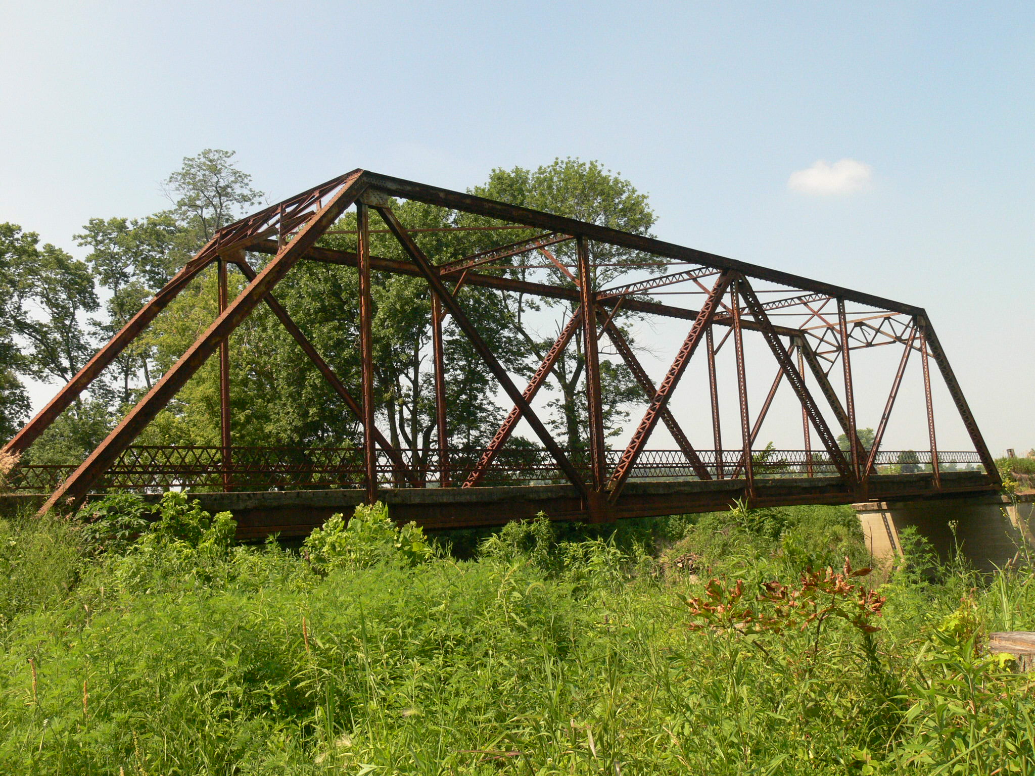
Old Crossing- Marion, Indiana

View from the top

Milky Way 6-26

Sunset - Indiana

Flying Home

Salamonie Reservoir; Huntington County, Indiana
The Milkhouse

#skyview #skyline #Indiana
Topographic Map of Van Buren, IN, USA
Find elevation by address:

Places near Van Buren, IN, USA:
Van Buren Township
E N, Marion, IN, USA
W S, Van Buren, IN, USA
N E, Marion, IN, USA
4404 N 600 E
4404 N 600 E
IN-18, Marion, IN, USA
45 S E, Marion, IN, USA
Monroe Township
Jadden Rd, Marion, IN, USA
7800 E 200 S
Warren
NW Shadeland Rd, Marion, IN, USA
S W, Warren, IN, USA
Washington Township
1264 N Bethlehem Rd
2812 W 500 N
Jackson Township
N W, Hartford City, IN, USA
Lancaster
Recent Searches:
- Elevation of 64 Danakas Dr, Winnipeg, MB R2C 5N7, Canada
- Elevation of 4 Vale Rd, Sheffield S3 9QX, UK
- Elevation of Keene Point Drive, Keene Point Dr, Grant, AL, USA
- Elevation of State St, Zanesville, OH, USA
- Elevation of Austin Stone Dr, Haslet, TX, USA
- Elevation of Bydgoszcz, Poland
- Elevation of Bydgoszcz, Poland
- Elevation of Calais Dr, Del Mar, CA, USA
- Elevation of Placer Mine Ln, West Jordan, UT, USA
- Elevation of E 63rd St, New York, NY, USA