Elevation of Warren, IN, USA
Location: United States > Indiana > Huntington County > Salamonie Township >
Longitude: -85.427195
Latitude: 40.6828226
Elevation: 252m / 827feet
Barometric Pressure: 98KPa
Elevation Map:
Satellite Map:
Related Photos:
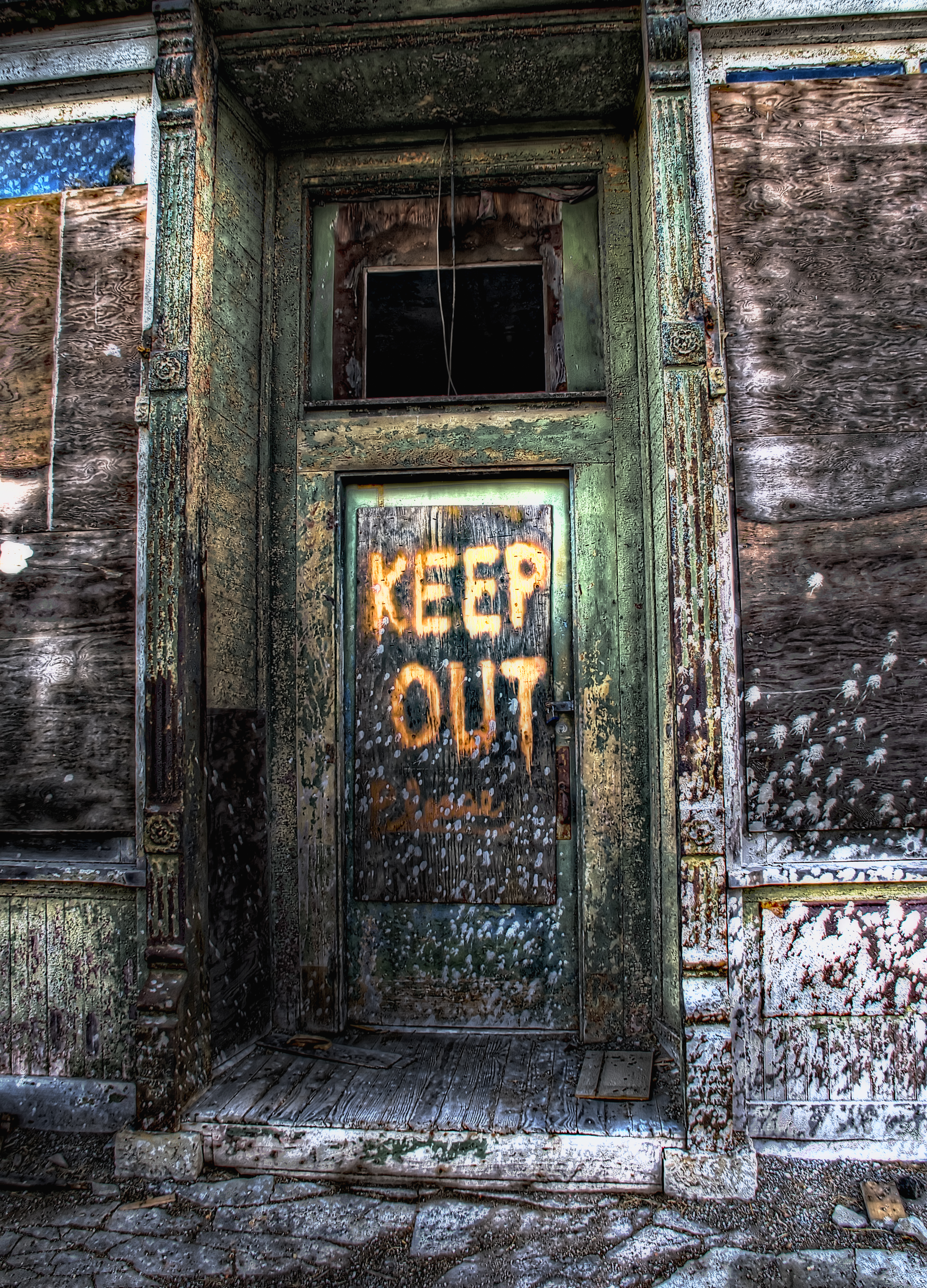
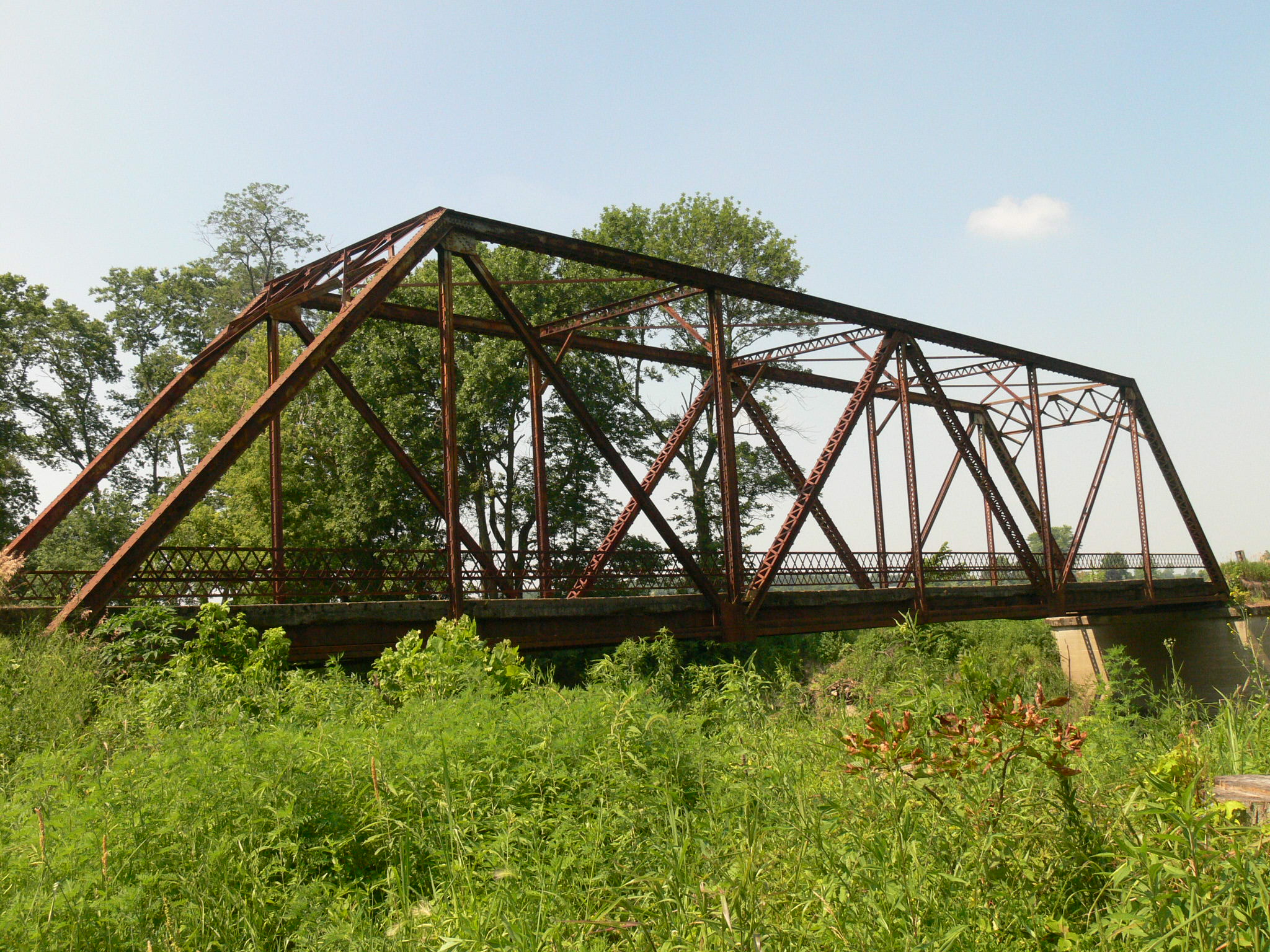
Keep Out HDR
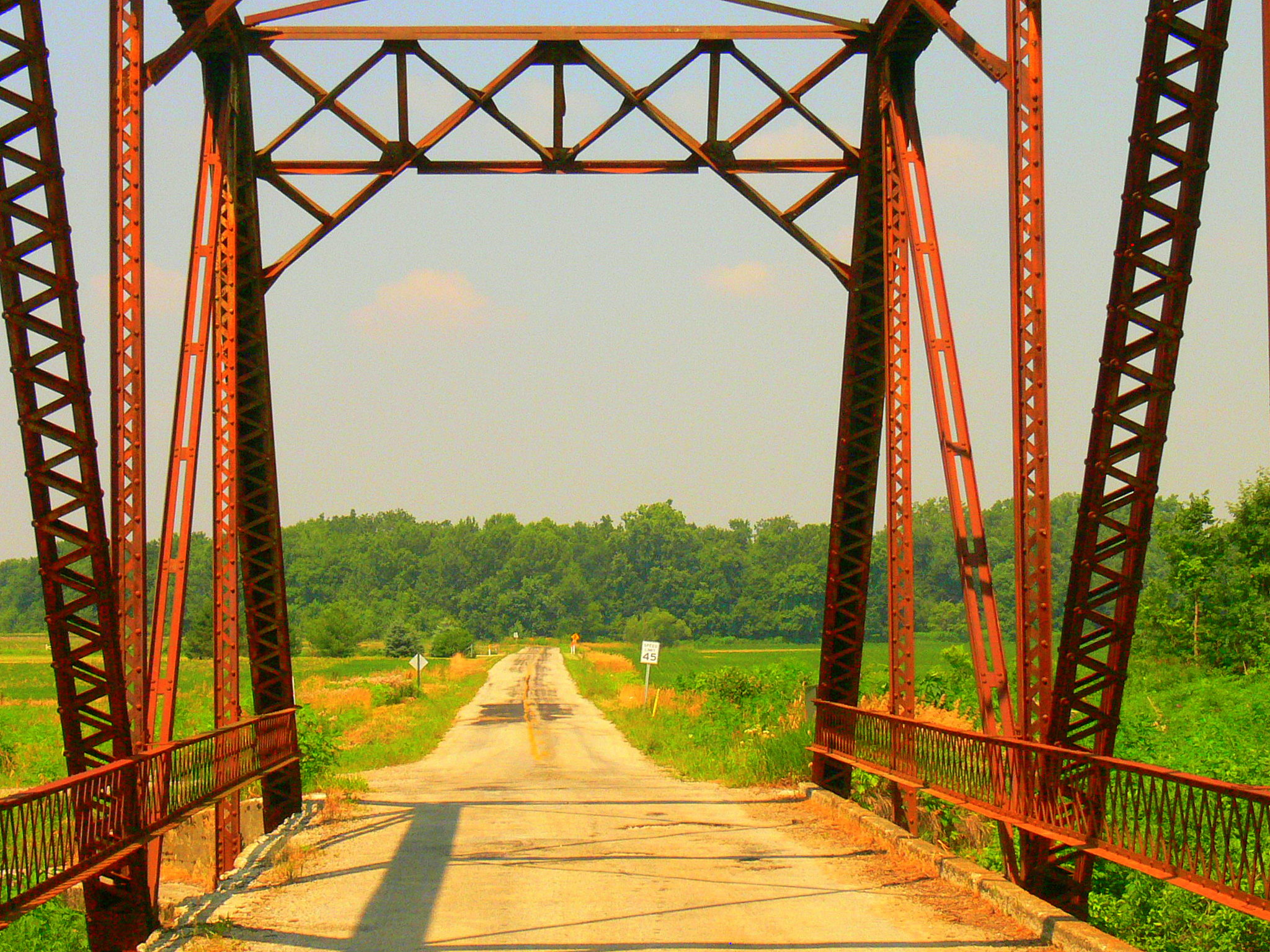
A Portal View
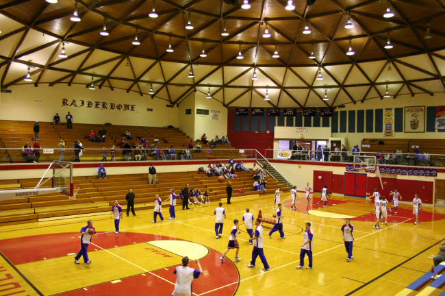
Southern Wells Gym
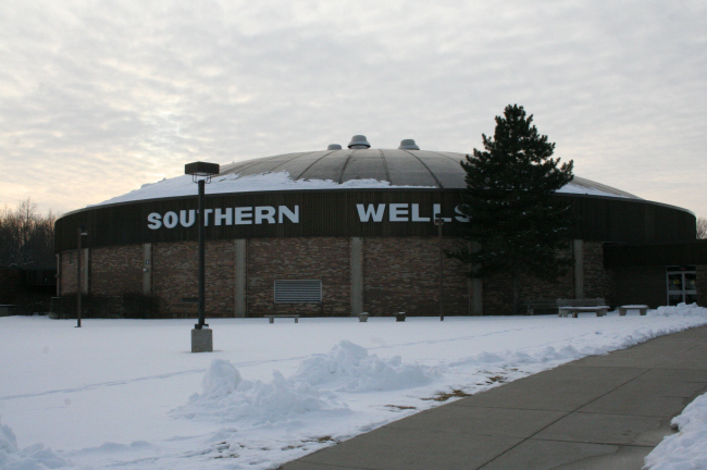
Southern Wells High School Gym
Zig Zag

Sunset - Indiana

Majenica marsh

Flying Home
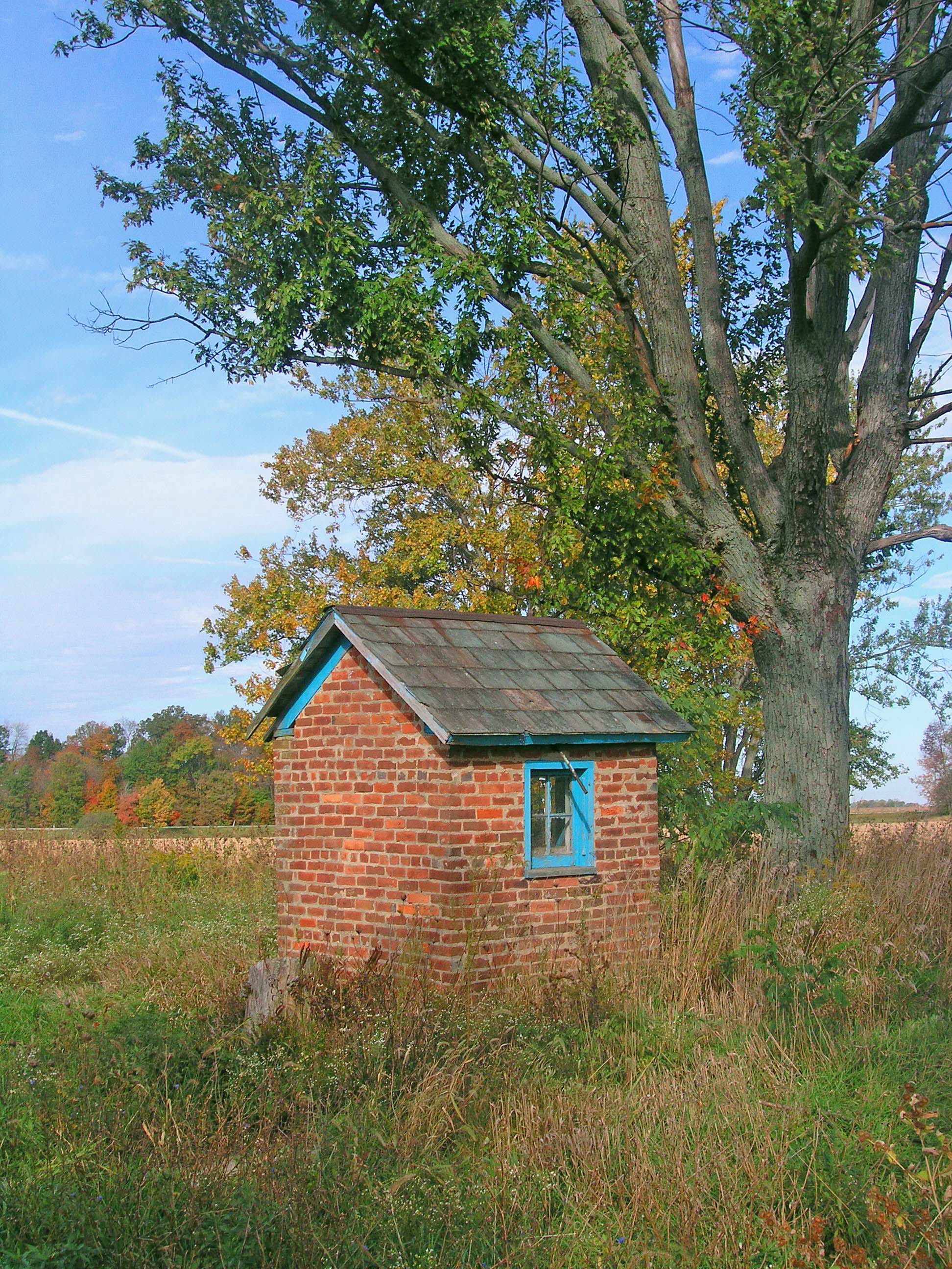
The Milkhouse

#skyview #skyline #Indiana

Salamonie Reservoir; Huntington County, Indiana

Milky Way 6-26
Topographic Map of Warren, IN, USA
Find elevation by address:

Places in Warren, IN, USA:
Places near Warren, IN, USA:
Salamonie Township
S W, Warren, IN, USA
S E, Warren, IN, USA
8545 Se Jeff Rd-90
S W, Warren, IN, USA
Liberty Township
N W, Bluffton, IN, USA
Liberty Center
W Cherry St, Liberty Center, IN, USA
3406 Meridian Rd
9 W Walnut St, Poneto, IN, USA
Poneto
Hoosier Hwy, Bluffton, IN, USA
Wells County
Bluffton
IN-1, Bluffton, IN, USA
1332 Ridgewood Ln
IN-1, Petroleum, IN, USA
Petroleum
Harrison Township
Recent Searches:
- Elevation of N, Mt Pleasant, UT, USA
- Elevation of 6 Rue Jules Ferry, Beausoleil, France
- Elevation of Sattva Horizon, 4JC6+G9P, Vinayak Nagar, Kattigenahalli, Bengaluru, Karnataka, India
- Elevation of Great Brook Sports, Gold Star Hwy, Groton, CT, USA
- Elevation of 10 Mountain Laurels Dr, Nashua, NH, USA
- Elevation of 16 Gilboa Ln, Nashua, NH, USA
- Elevation of Laurel Rd, Townsend, TN, USA
- Elevation of 3 Nestling Wood Dr, Long Valley, NJ, USA
- Elevation of Ilungu, Tanzania
- Elevation of Yellow Springs Road, Yellow Springs Rd, Chester Springs, PA, USA