Elevation of Liberty Center, IN, USA
Location: United States > Indiana > Wells County > Liberty Township >
Longitude: -85.280527
Latitude: 40.6992129
Elevation: 260m / 853feet
Barometric Pressure: 98KPa
Elevation Map:
Satellite Map:
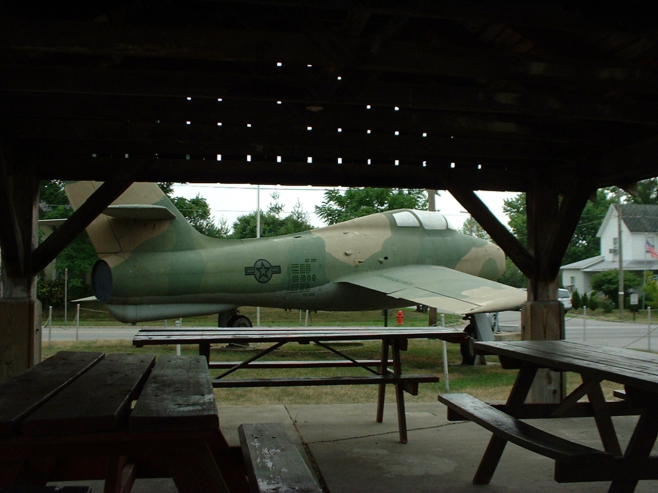
Related Photos:
Ouabache SP
A Portal View
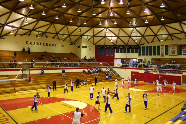
Southern Wells Gym
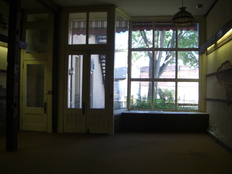
Looking out the Storefront/Gallery

View from the park
Baldwin Park - Montpelier, IN
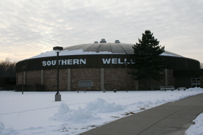
Southern Wells High School Gym
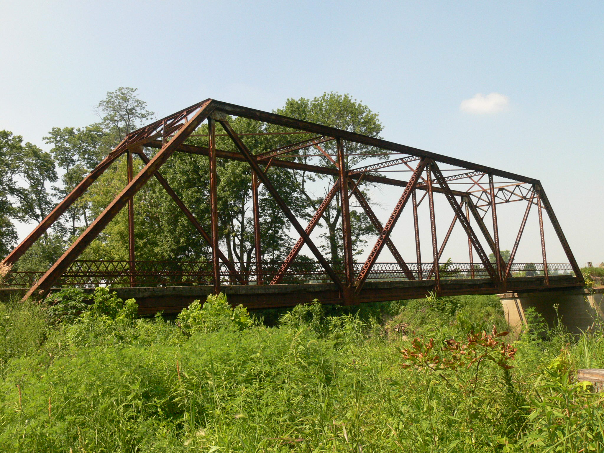
Zig Zag
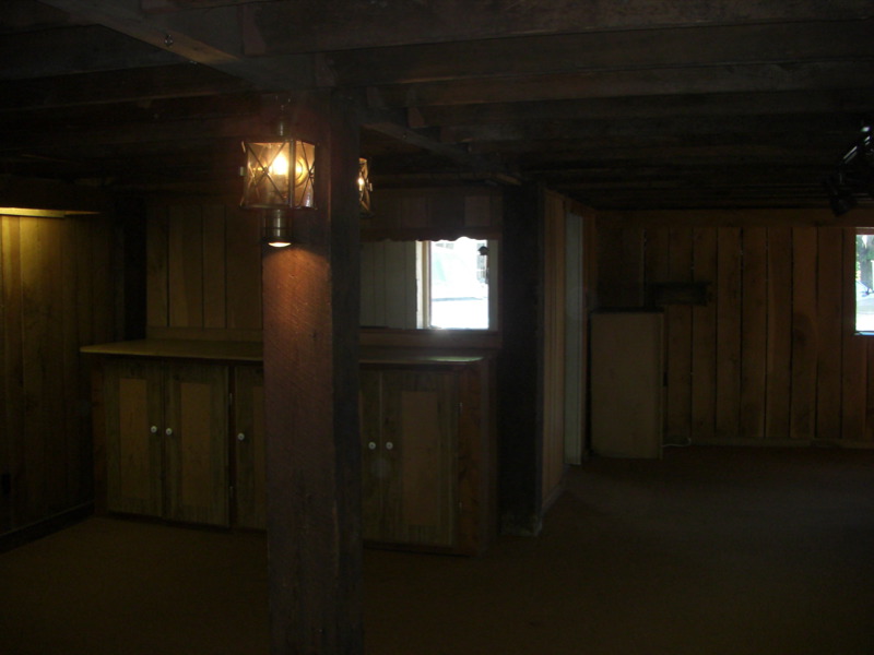
View from the Gallery into the Kitchen
View from the Altar

Doll Room - Village Pottery Shop HDR
Looking into the Gallery from the Loft
Acres Along The Wabash ACRES Preserve(21)
Acres Along The Wabash Preserve, ACRES(3)
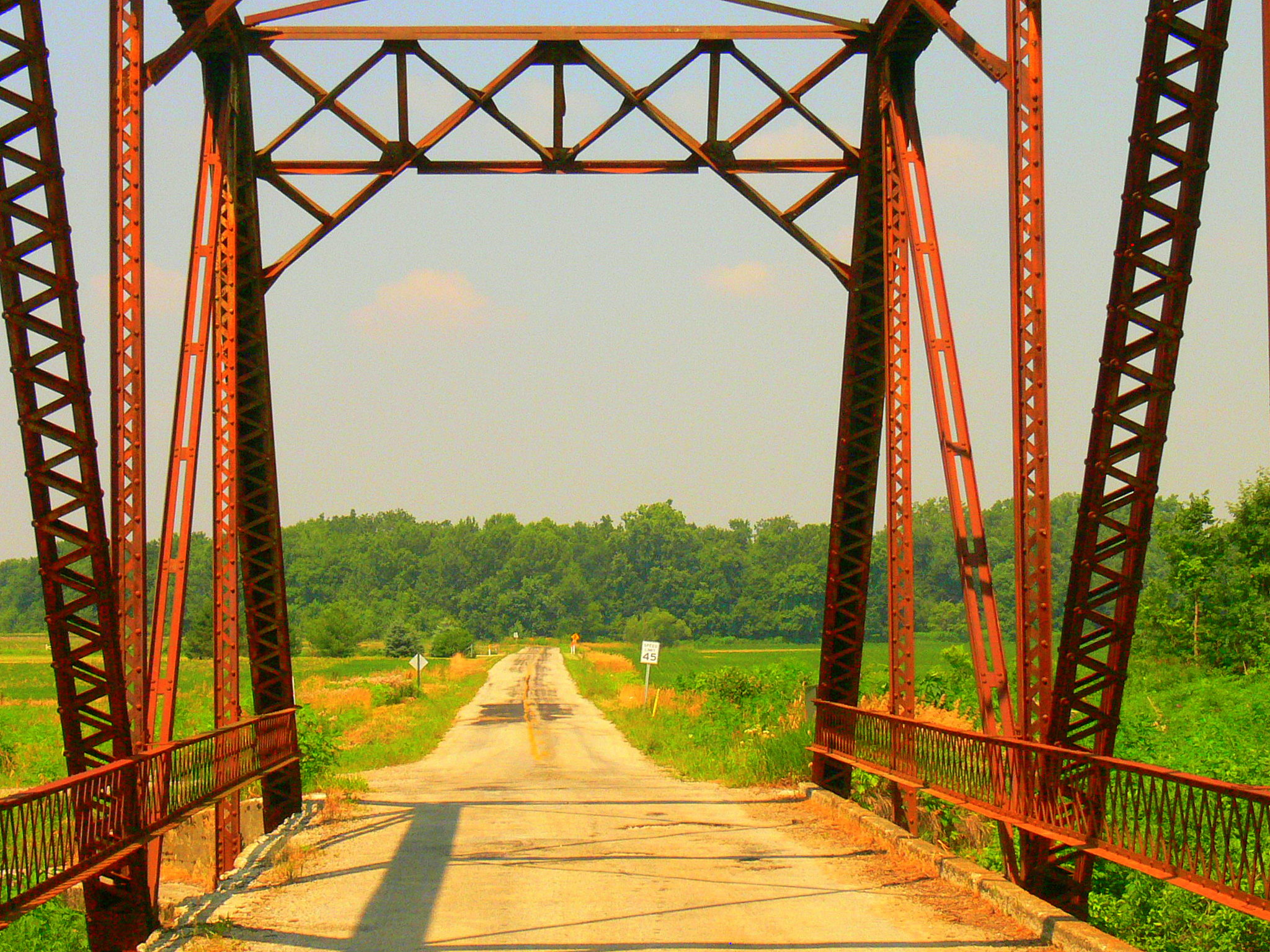
Wabash River, Bluffton
Field of Green

Photo Sep 01, 7 30 24 PM
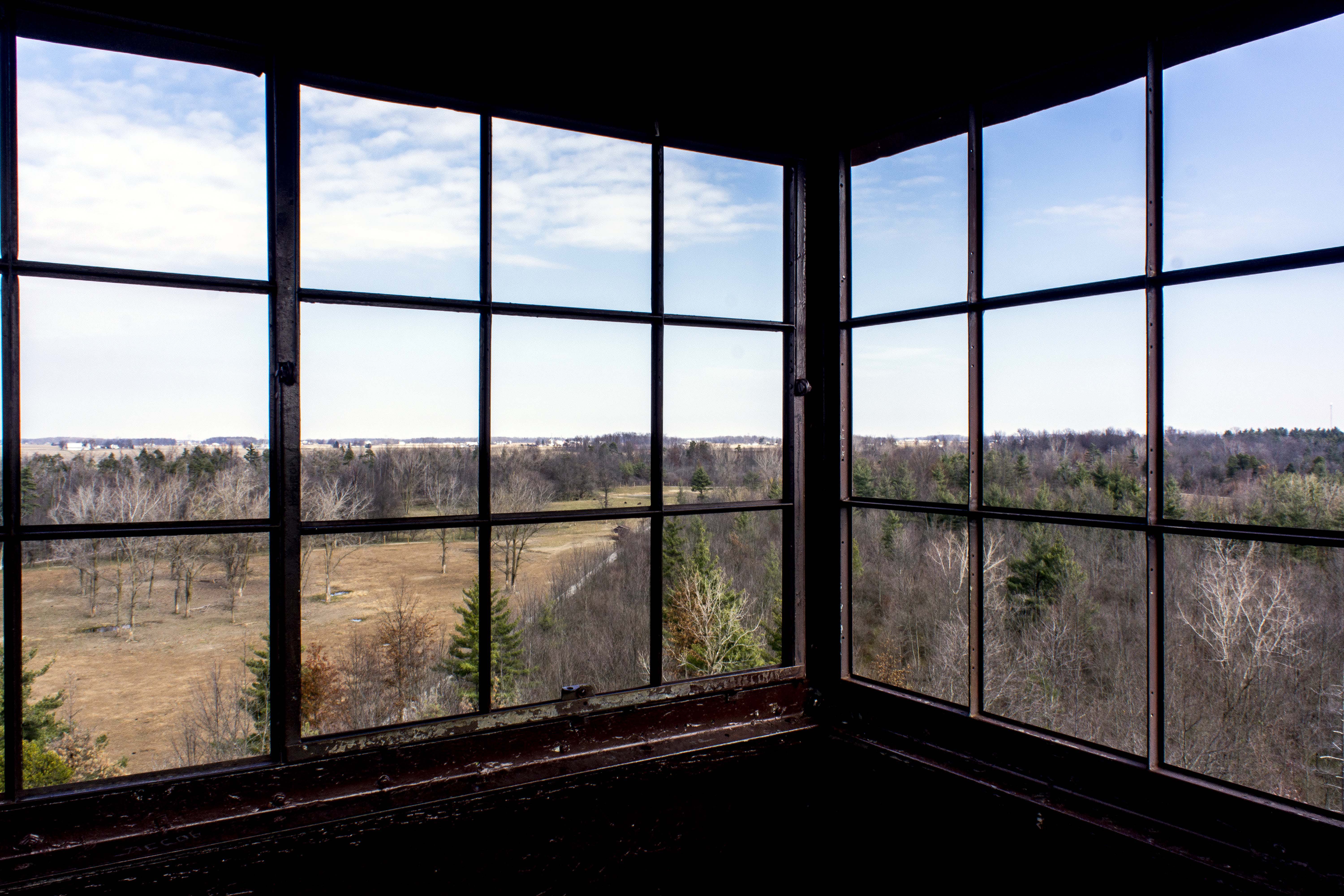
Ouabache State Park Fire Tower Panorama 1
Field Next to Wabash River, Bluffton IN
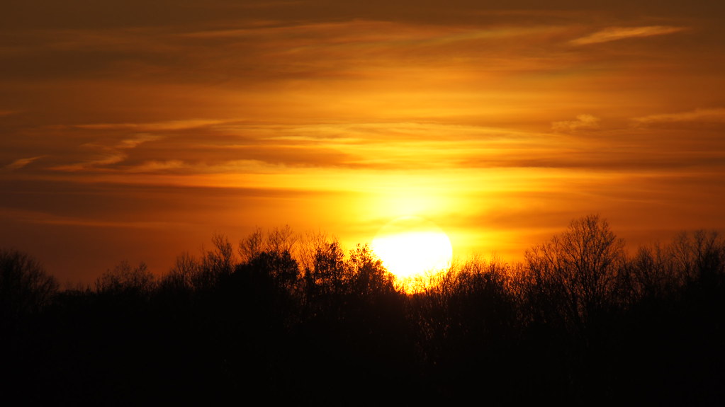
Poneto Sunset

Wabash River, Bluffton IN
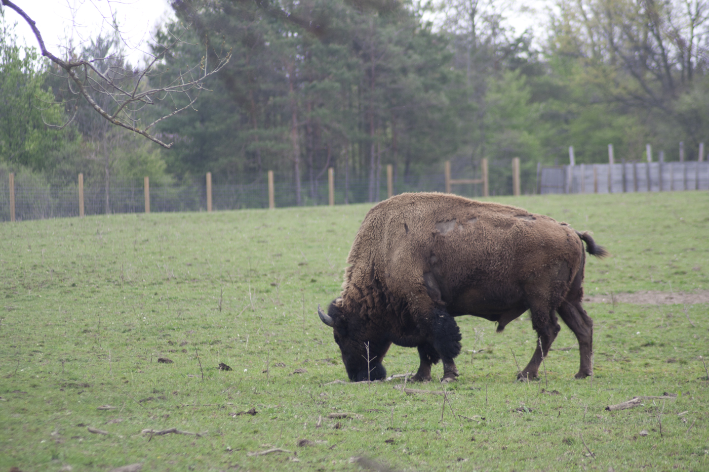
Quabache Buffalo 1
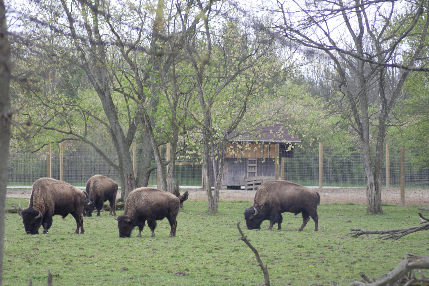
Grazing Buffalo
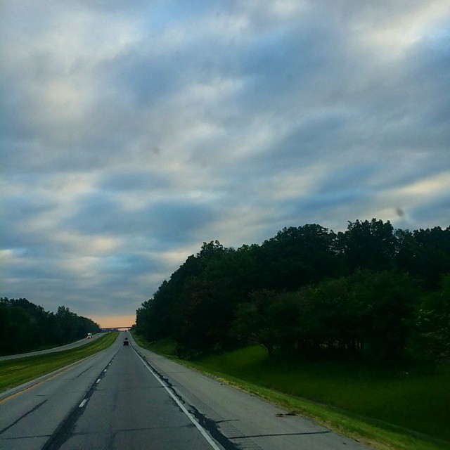
#skyview #skyline #Indiana
Topographic Map of Liberty Center, IN, USA
Find elevation by address:

Places in Liberty Center, IN, USA:
Places near Liberty Center, IN, USA:
W Cherry St, Liberty Center, IN, USA
Liberty Township
3406 Meridian Rd
N W, Bluffton, IN, USA
9 W Walnut St, Poneto, IN, USA
Hoosier Hwy, Bluffton, IN, USA
Poneto
S W, Warren, IN, USA
S E, Warren, IN, USA
Salamonie Township
8545 Se Jeff Rd-90
Bluffton
Wells County
1332 Ridgewood Ln
S W, Warren, IN, USA
IN-1, Bluffton, IN, USA
Warren
Harrison Township
IN-1, Petroleum, IN, USA
Petroleum
Recent Searches:
- Elevation of Elwyn Dr, Roanoke Rapids, NC, USA
- Elevation of Congressional Dr, Stevensville, MD, USA
- Elevation of Bellview Rd, McLean, VA, USA
- Elevation of Stage Island Rd, Chatham, MA, USA
- Elevation of Shibuya Scramble Crossing, 21 Udagawacho, Shibuya City, Tokyo -, Japan
- Elevation of Jadagoniai, Kaunas District Municipality, Lithuania
- Elevation of Pagonija rock, Kranto 7-oji g. 8"N, Kaunas, Lithuania
- Elevation of Co Rd 87, Jamestown, CO, USA
- Elevation of Tenjo, Cundinamarca, Colombia
- Elevation of Côte-des-Neiges, Montreal, QC H4A 3J6, Canada