Elevation of NW Shadeland Rd, Marion, IN, USA
Location: United States > Indiana > Grant County > Washington Township >
Longitude: -85.609748
Latitude: 40.605267
Elevation: 268m / 879feet
Barometric Pressure: 98KPa
Elevation Map:
Satellite Map:
Related Photos:
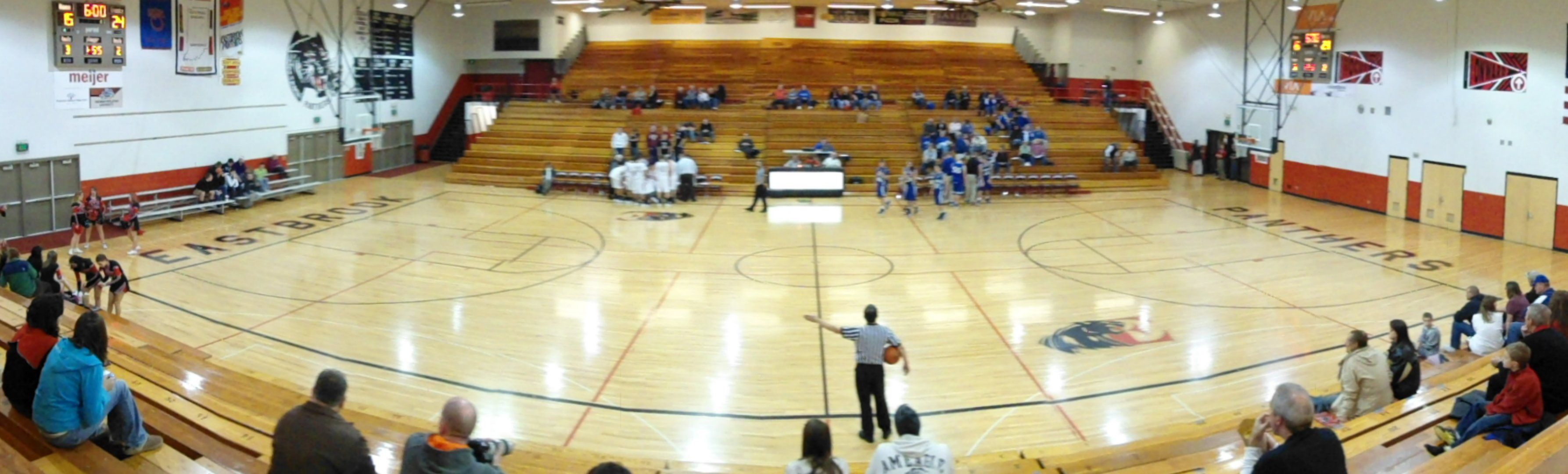
Eastbrook Gym wide view
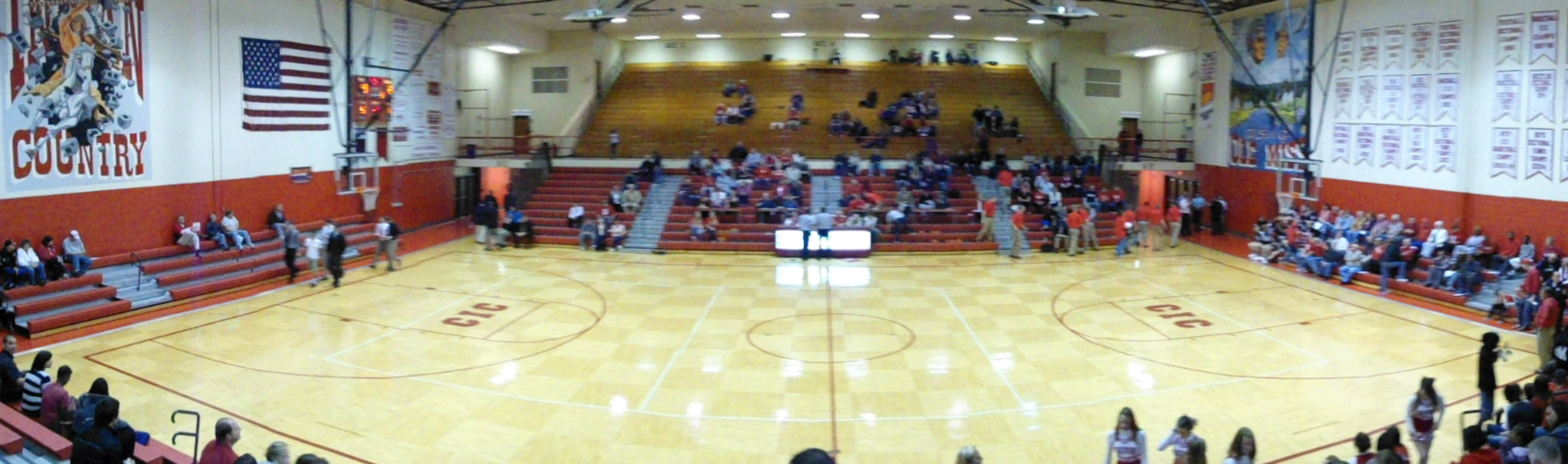
Mississinewa Gym-Wide View

Dump Truck & Fierce Sky

Two Trucks HDR
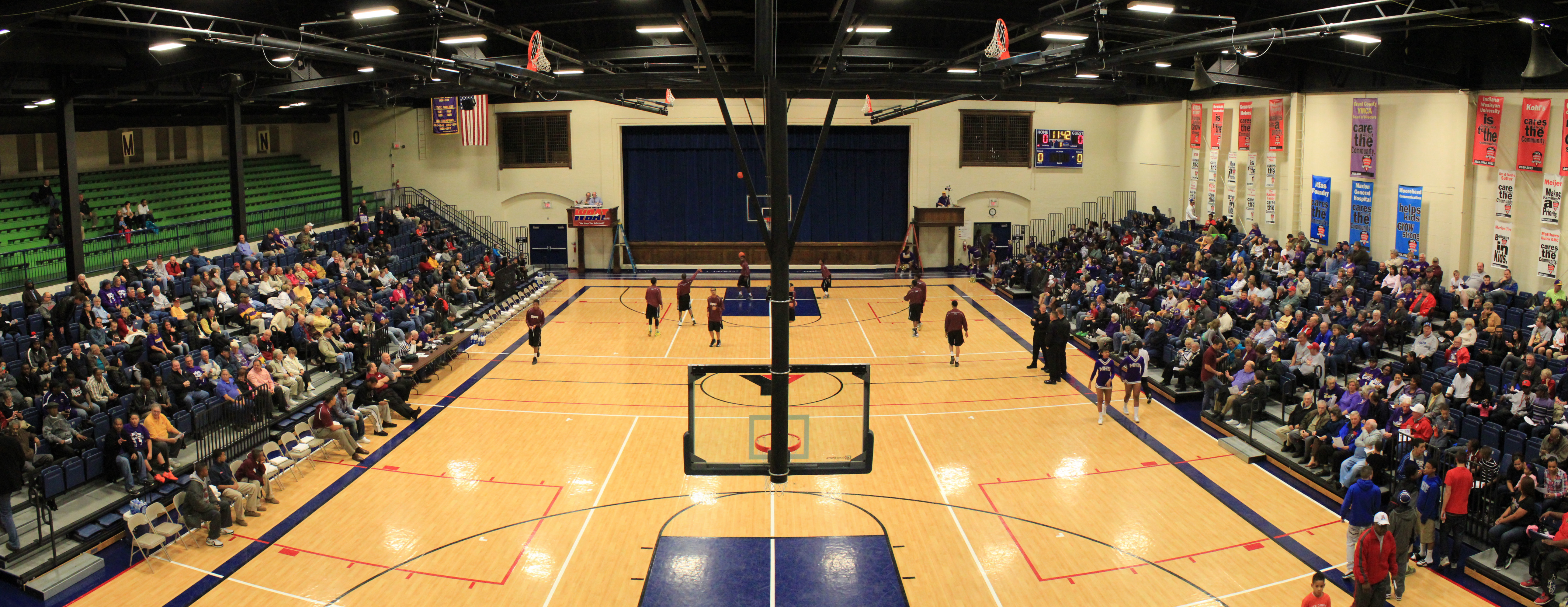
Marion Coliseum 2013 wide view

Marion High School Bill Green Arena wide view
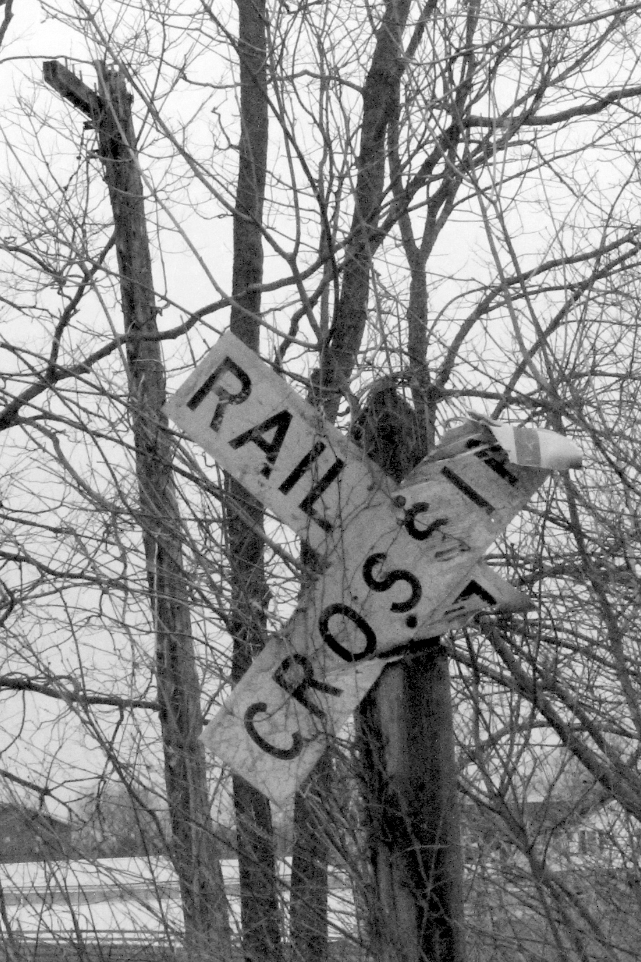
Old Crossing- Marion, Indiana
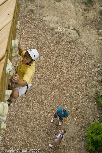
View from the top

My Photo Stream-43

My Photo Stream-44

My Photo Stream-39

Gas City Rabbit

Salamonie Reservoir; Huntington County, Indiana
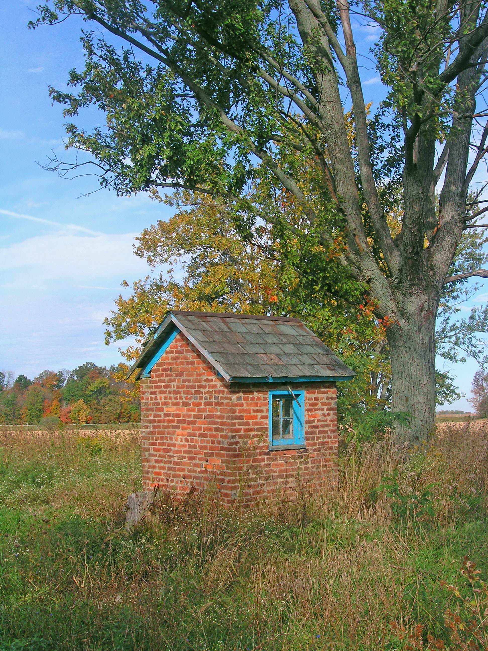
The Milkhouse
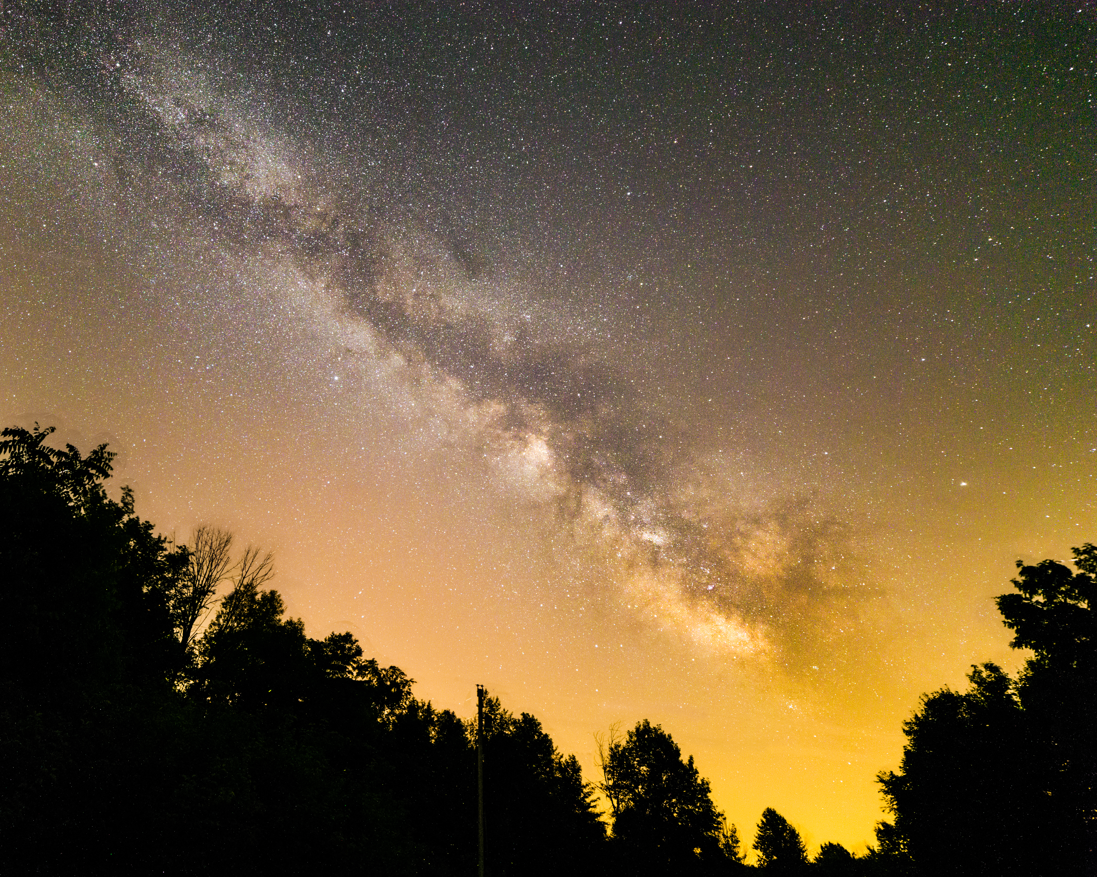
Milky Way 6-26

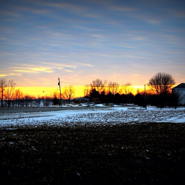
72 Marion Sunset

Camera Roll-409

Mississinewa 1812 Encampment
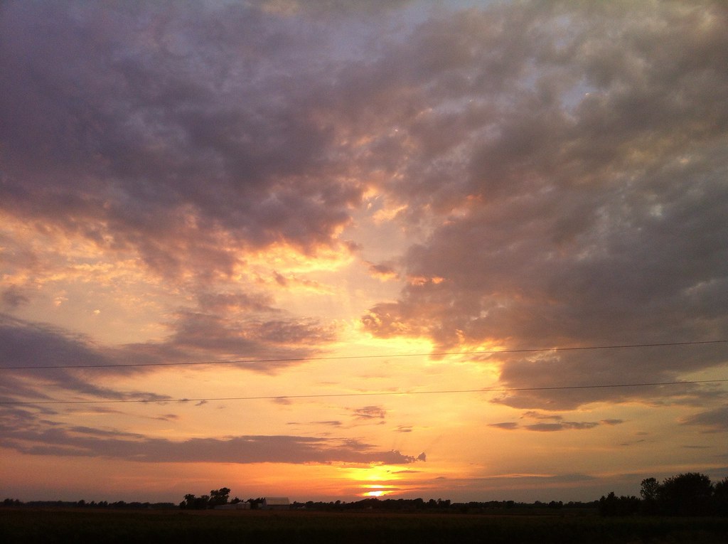
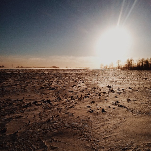
Sunset - Indiana

66/365. The Runner. Taken at a beautiful, deserted clearing along the way to Marion. Inverted colors with Picasa.
72/365. Back home to the cornfields again! Many apologies if we missed seeing you while in Pennsylvania. We will be back sooner than you think!
25/365. The world is nothing but wind. So flat, so open, nothing prevents it from wreaking miles- long havoc with the whirling, twirling snow. One snow dune on 1350E was at least 6 or 7 feet high!
RJ Baskett Middle School
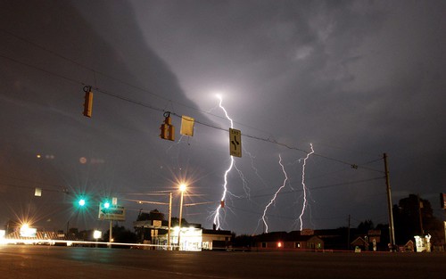
triple strike

Flying Home

Mississinewa Battleground

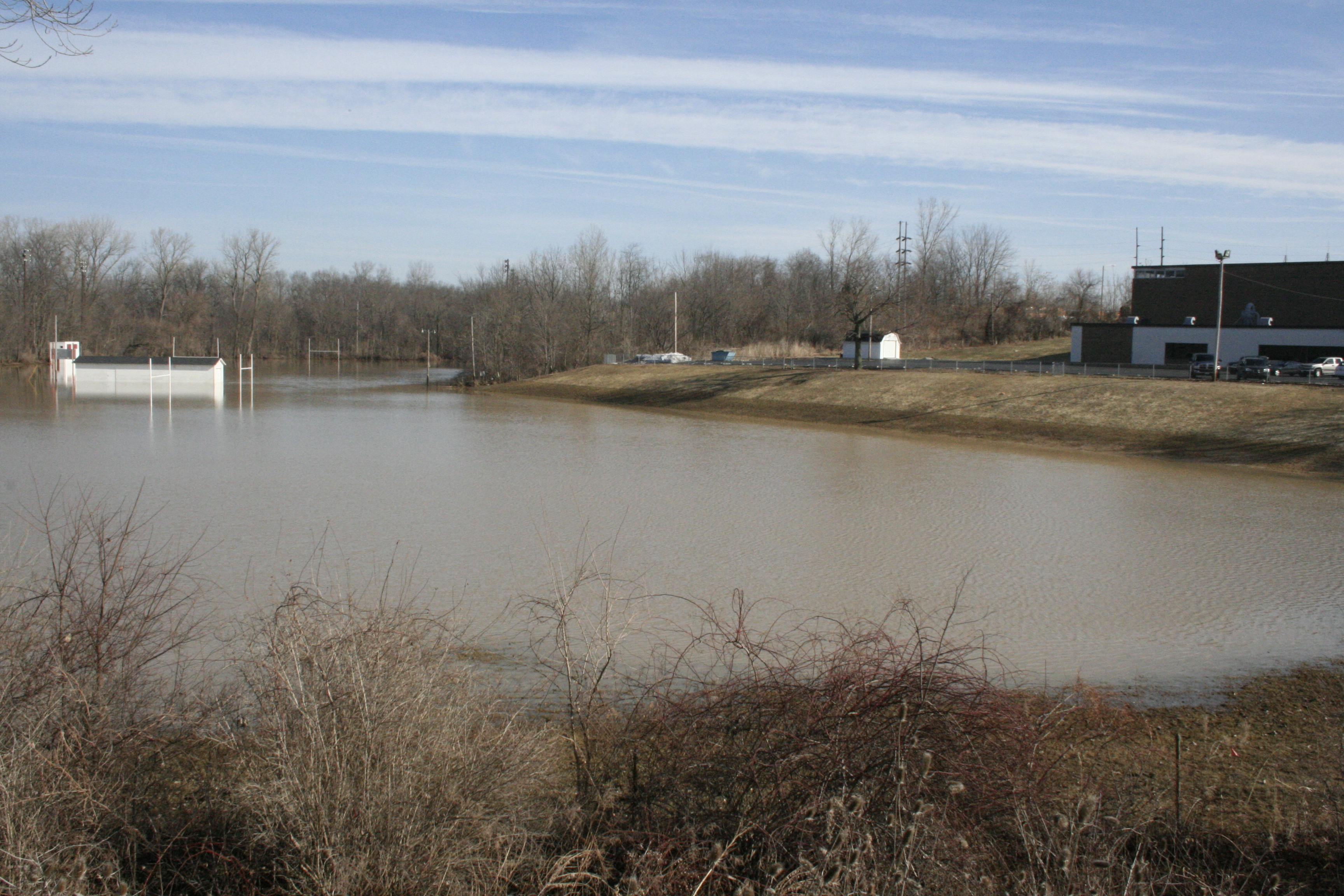
The aftermath

Before Shots
Topographic Map of NW Shadeland Rd, Marion, IN, USA
Find elevation by address:

Places near NW Shadeland Rd, Marion, IN, USA:
1264 N Bethlehem Rd
513 W Buckingham Dr
W Overlook Rd, Marion, IN, USA
Marion
E 4th St, Marion, IN, USA
45 S E, Marion, IN, USA
Center Township
1201 E 30th St
S Blair St, Marion, IN, USA
East 38th Street
S Garthwaite Rd, Marion, IN, USA
3225 S Felton St
S Valley Ave, Marion, IN, USA
7800 E 200 S
Gas City
E South A St, Gas City, IN, USA
IN-18, Marion, IN, USA
Mill Township
Jonesboro
S Main St, Jonesboro, IN, USA
Recent Searches:
- Elevation of Leguwa, Nepal
- Elevation of County Rd, Enterprise, AL, USA
- Elevation of Kolchuginsky District, Vladimir Oblast, Russia
- Elevation of Shustino, Vladimir Oblast, Russia
- Elevation of Lampiasi St, Sarasota, FL, USA
- Elevation of Elwyn Dr, Roanoke Rapids, NC, USA
- Elevation of Congressional Dr, Stevensville, MD, USA
- Elevation of Bellview Rd, McLean, VA, USA
- Elevation of Stage Island Rd, Chatham, MA, USA
- Elevation of Shibuya Scramble Crossing, 21 Udagawacho, Shibuya City, Tokyo -, Japan