Elevation of Valley Health Care Center, 12th St, Valley Falls, KS, USA
Location: United States > Kansas > Jefferson County >
Longitude: -95.457744
Latitude: 39.337614
Elevation: 291m / 955feet
Barometric Pressure: 98KPa
Elevation Map:
Satellite Map:
Related Photos:
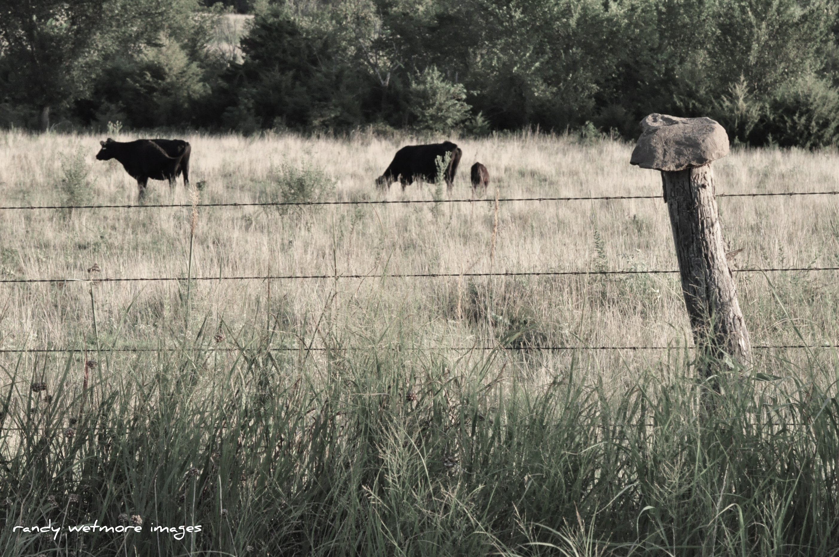
Rock Top Fence

On the way to KU
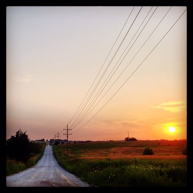
Everyone also needs a good drive down some #countryroads . #kansas #gravelroad #country #kansaslife
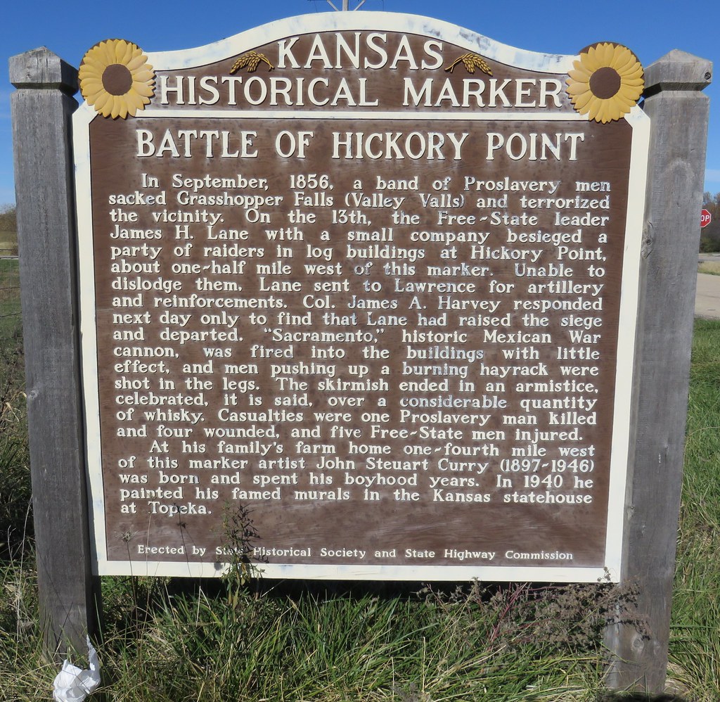
Battle of Hickory Point Marker (Jefferson County, Kansas)
Kansas, Valley City, First Lutheran Church
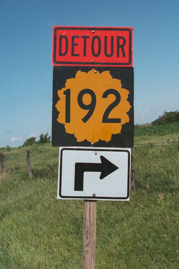
This Detour sign for K-192 used a square shield intended for two digit highways.....

January Sunset
Topographic Map of Valley Health Care Center, 12th St, Valley Falls, KS, USA
Find elevation by address:

Places near Valley Health Care Center, 12th St, Valley Falls, KS, USA:
Ozawkie
Cherokee Ln, Ozawkie, KS, USA
Ozawkie
Trail Rd, Meriden, KS, USA
3rd St, Meriden, KS, USA
10282 K4 Hwy
Rock Creek
Hillcrest Dr, Meriden, KS, USA
Jefferson County
Fairview
Oskaloosa
Huffman St, Meriden, KS, USA
Meriden
Jefferson County Court House
Oskaloosa
524 Topeka St
524 Topeka St
524 Topeka St
524 Topeka St
Winchester
Recent Searches:
- Elevation of Groblershoop, South Africa
- Elevation of Power Generation Enterprises | Industrial Diesel Generators, Oak Ave, Canyon Country, CA, USA
- Elevation of Chesaw Rd, Oroville, WA, USA
- Elevation of N, Mt Pleasant, UT, USA
- Elevation of 6 Rue Jules Ferry, Beausoleil, France
- Elevation of Sattva Horizon, 4JC6+G9P, Vinayak Nagar, Kattigenahalli, Bengaluru, Karnataka, India
- Elevation of Great Brook Sports, Gold Star Hwy, Groton, CT, USA
- Elevation of 10 Mountain Laurels Dr, Nashua, NH, USA
- Elevation of 16 Gilboa Ln, Nashua, NH, USA
- Elevation of Laurel Rd, Townsend, TN, USA