Elevation of Jefferson County, KS, USA
Location: United States > Kansas >
Longitude: -95.310250
Latitude: 39.2827652
Elevation: 351m / 1152feet
Barometric Pressure: 97KPa
Elevation Map:
Satellite Map:
Related Photos:
Curvature of the Earth

This view again #love
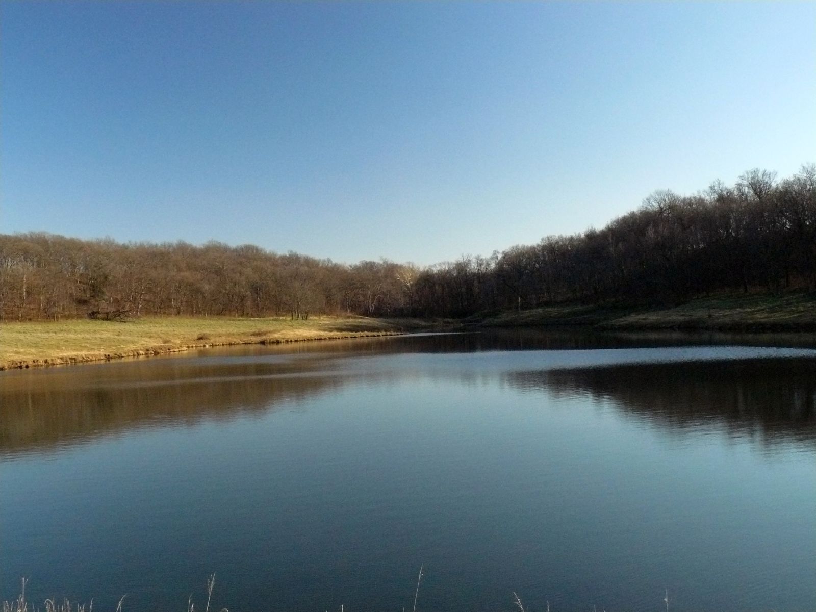
Winter Pond
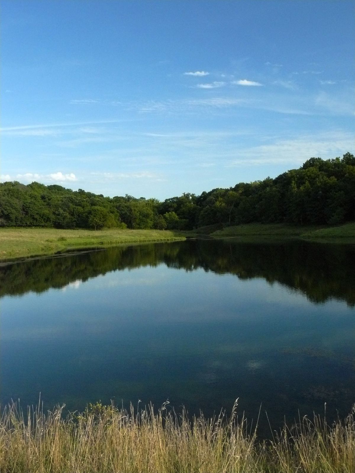
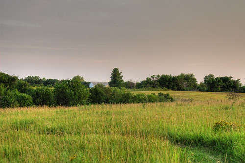
The Pond
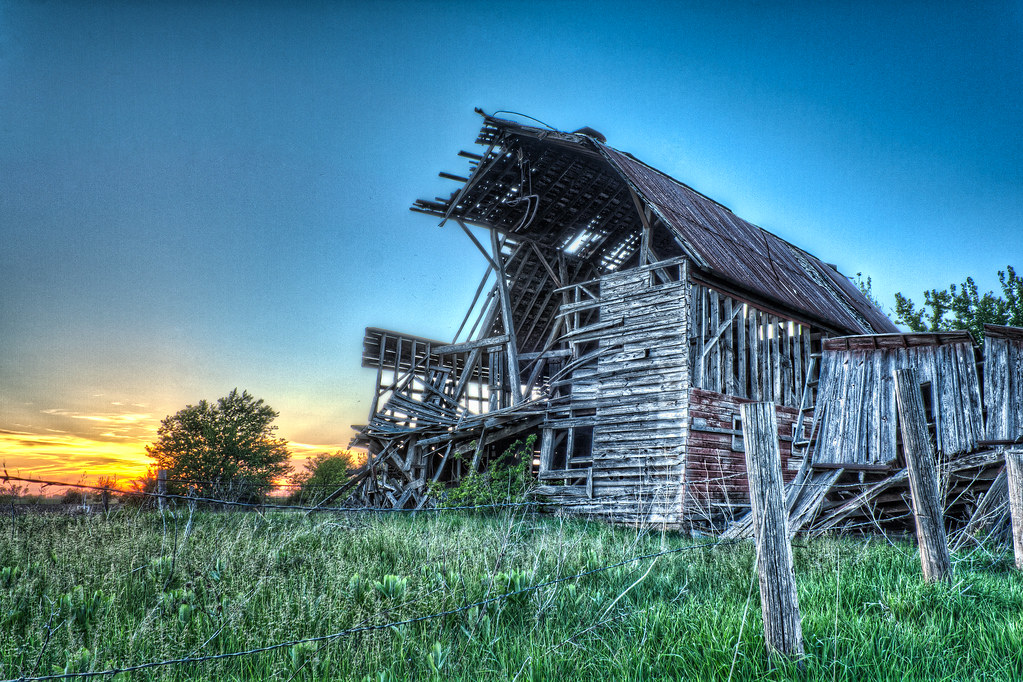
Fragile Sunset
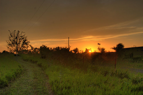
Kansas Sunset
Dusk II
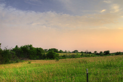
Farm landscape
the Winding Path

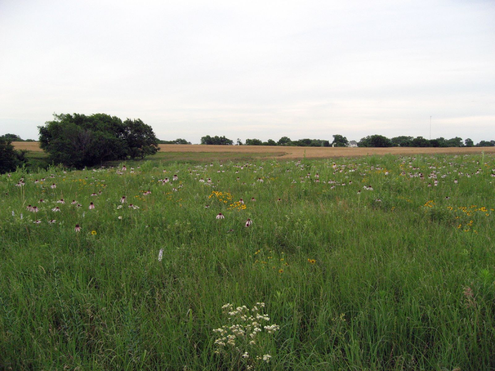
Summer Hay
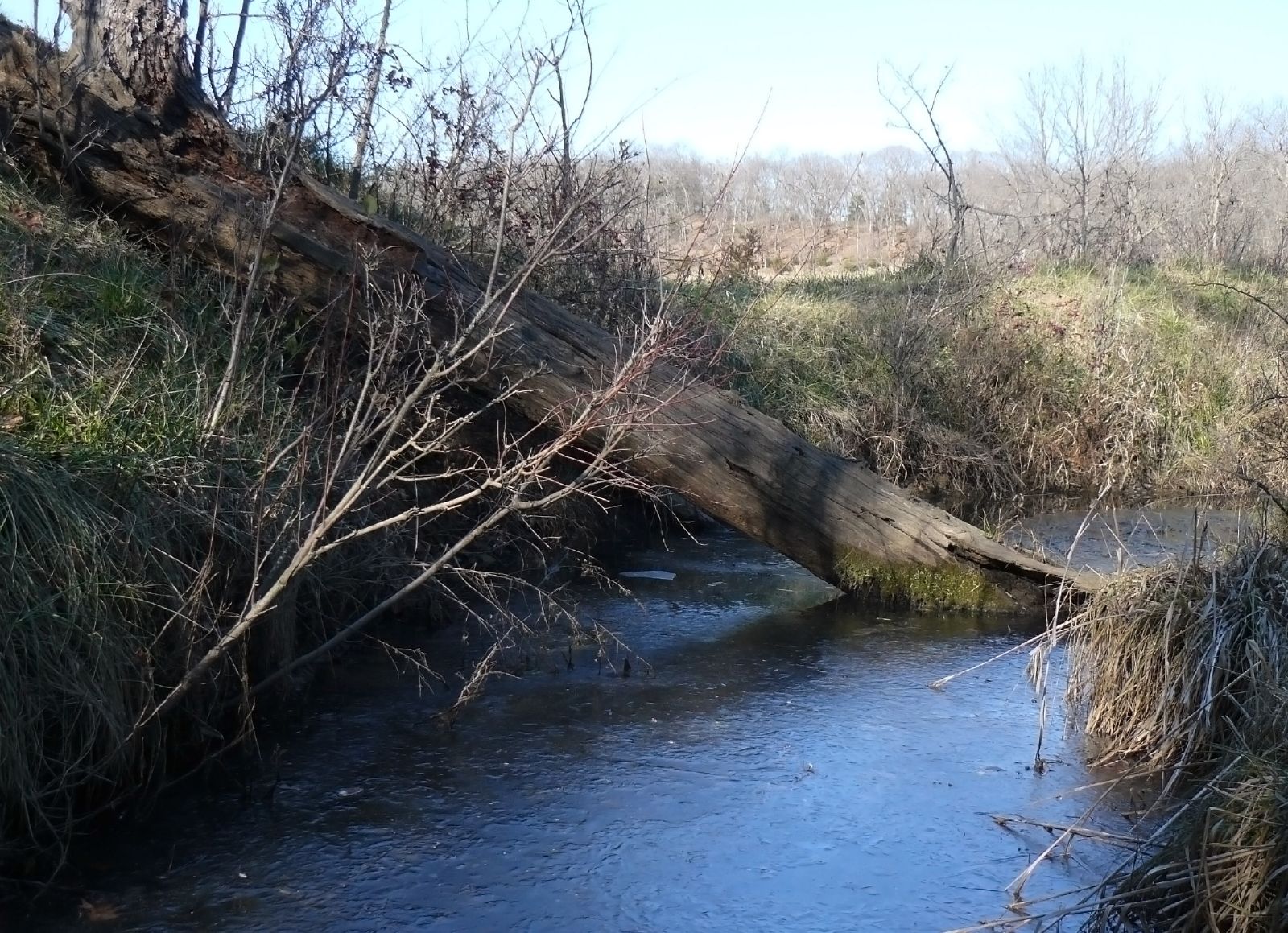
Frozen stream
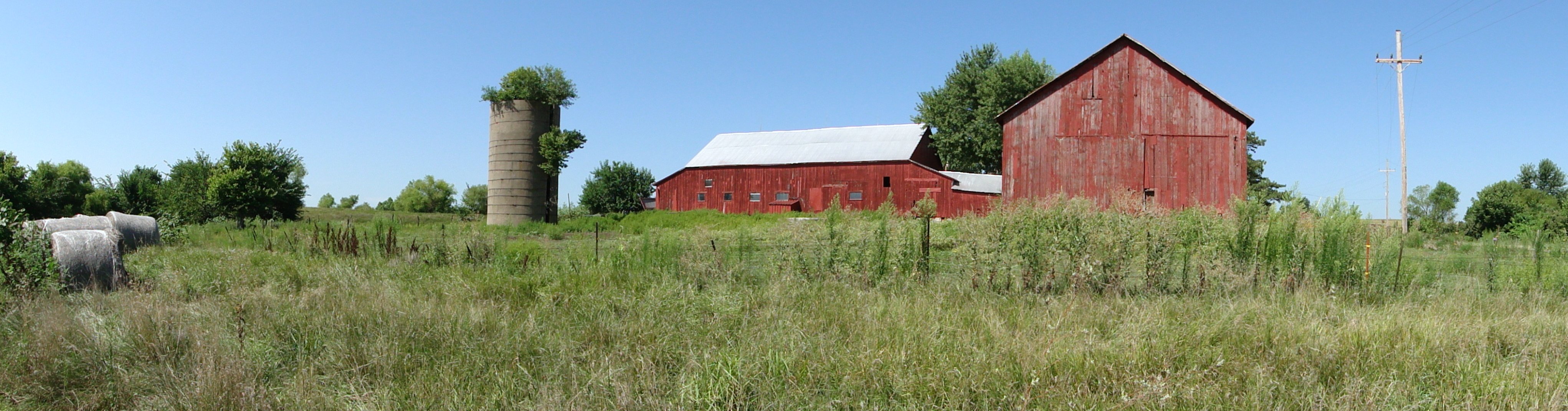
Family Farm

Open range
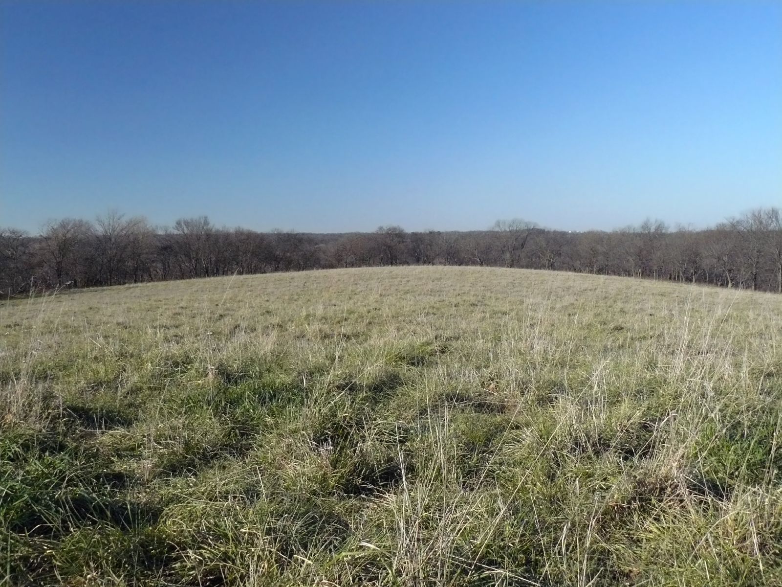
The big field
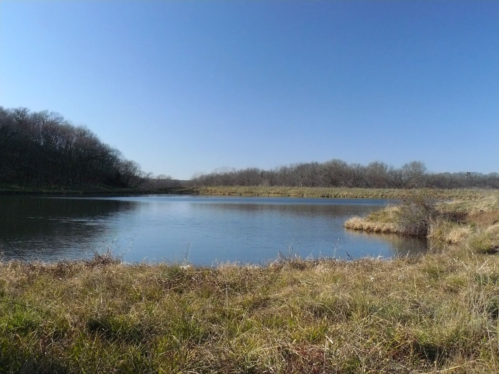
The Pond

On the way to KU
Topographic Map of Jefferson County, KS, USA
Find elevation by address:

Places in Jefferson County, KS, USA:
Places near Jefferson County, KS, USA:
Winchester
Main St, Winchester, KS, USA
Oskaloosa
Jefferson County Court House
Oskaloosa
524 Topeka St
524 Topeka St
524 Topeka St
524 Topeka St
Jefferson
Ozawkie
6561 Us-59
Cherokee Ln, Ozawkie, KS, USA
KS-92, McLouth, KS, USA
105 E Pearl St
20056 82nd St
Fairview
Valley Health Care Center
Ozawkie
Trail Rd, Meriden, KS, USA
Recent Searches:
- Elevation of Corso Fratelli Cairoli, 35, Macerata MC, Italy
- Elevation of Tallevast Rd, Sarasota, FL, USA
- Elevation of 4th St E, Sonoma, CA, USA
- Elevation of Black Hollow Rd, Pennsdale, PA, USA
- Elevation of Oakland Ave, Williamsport, PA, USA
- Elevation of Pedrógão Grande, Portugal
- Elevation of Klee Dr, Martinsburg, WV, USA
- Elevation of Via Roma, Pieranica CR, Italy
- Elevation of Tavkvetili Mountain, Georgia
- Elevation of Hartfords Bluff Cir, Mt Pleasant, SC, USA