Elevation of Cherokee Ln, Ozawkie, KS, USA
Location: United States > Kansas > Jefferson County > Ozawkie > Ozawkie >
Longitude: -95.423768
Latitude: 39.243067
Elevation: 313m / 1027feet
Barometric Pressure: 98KPa
Elevation Map:
Satellite Map:
Related Photos:
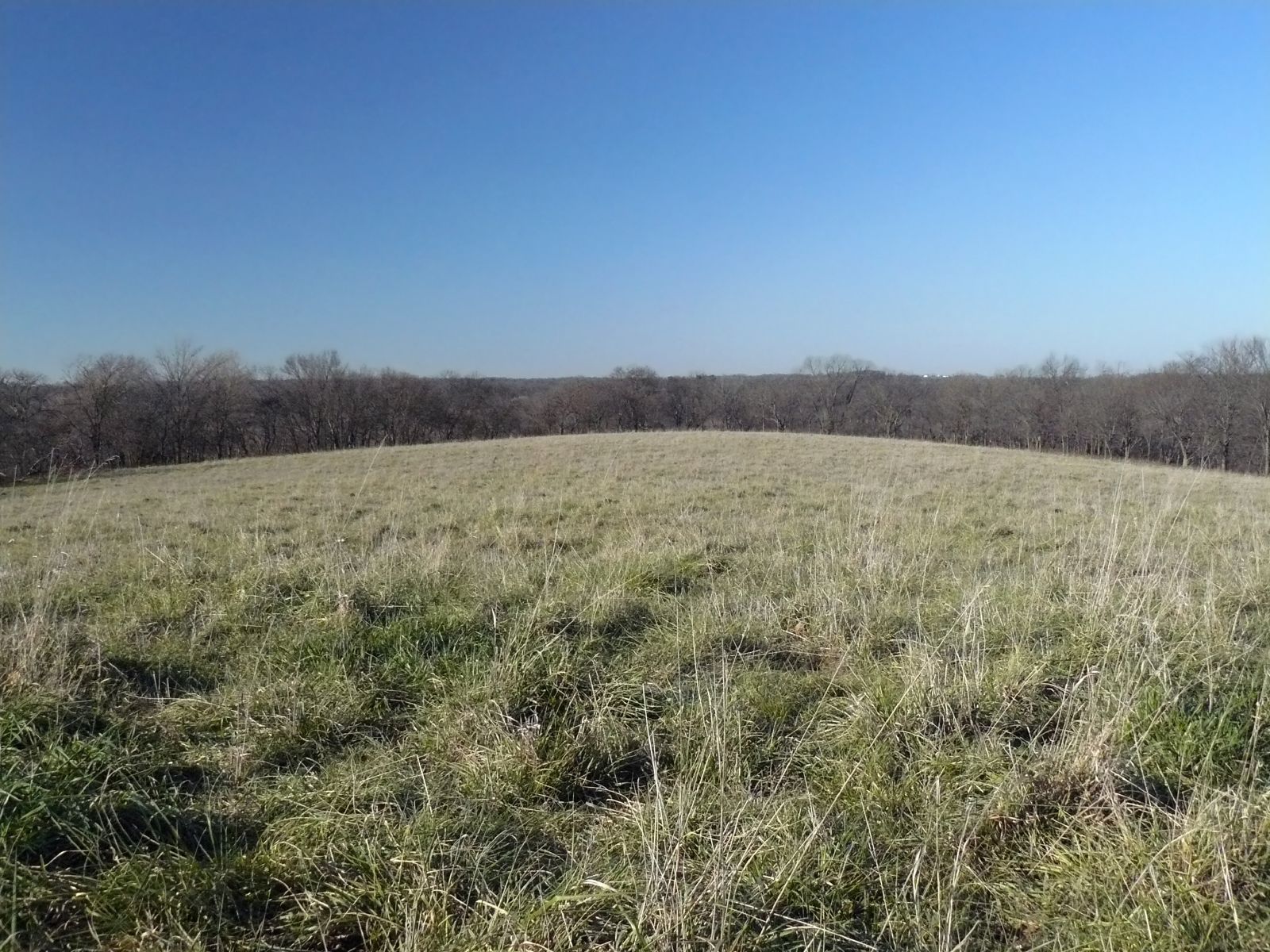
Curvature of the Earth
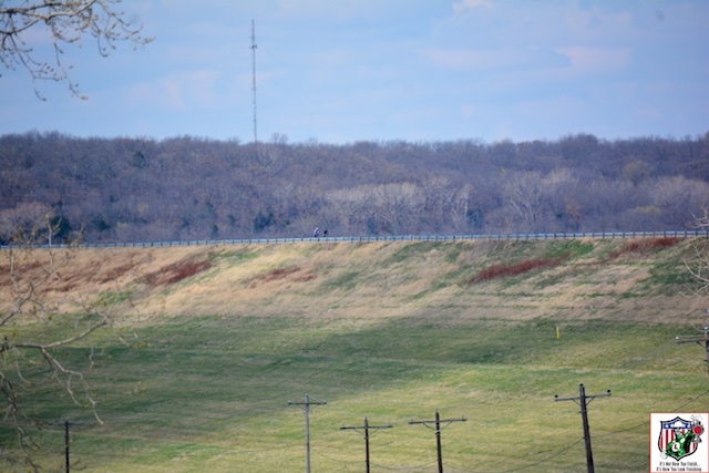
10 dec 15 1 (40)a
DSC_1618 - 2016-03-20 at 12-49-39
DSC_1372 - 2016-03-20 at 09-48-40
DSC_1452 - 2016-03-20 at 10-55-30
29 may 16 (26)
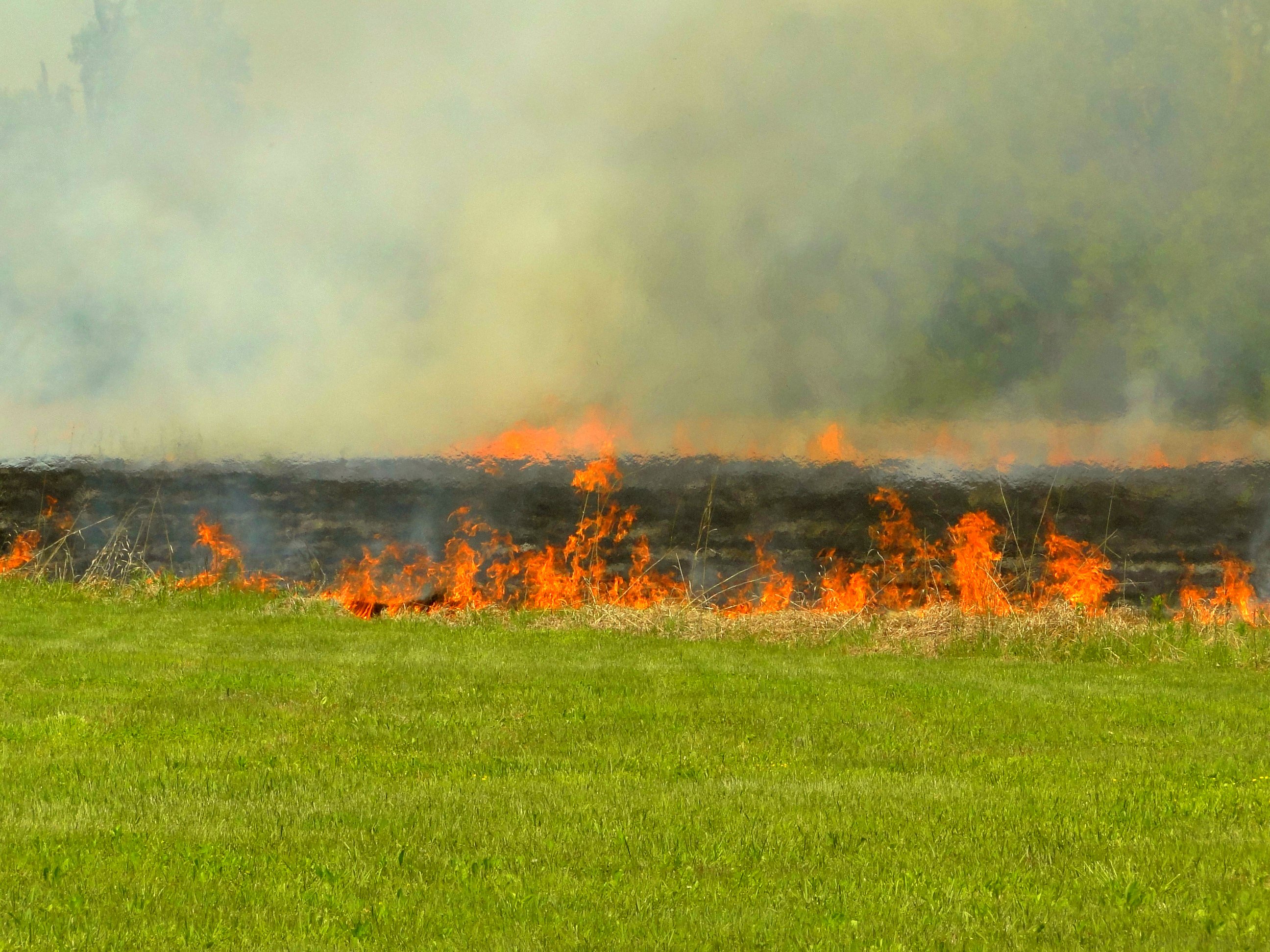
Burning pasture
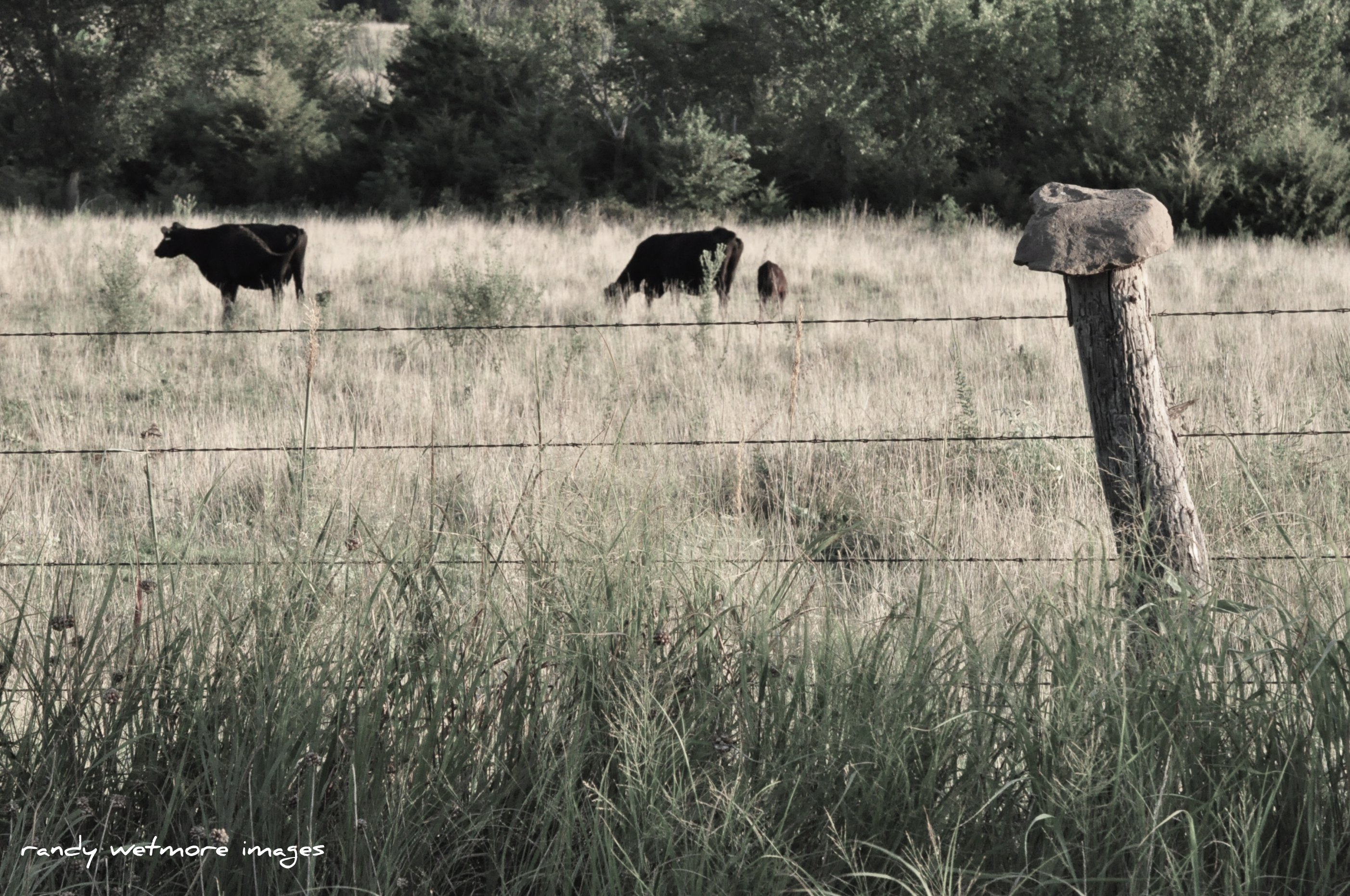
Rock Top Fence

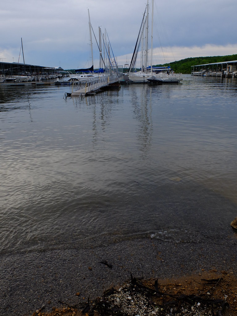
2011-KANSAS58-lake perry

2011-KANSAS58-lake perry3
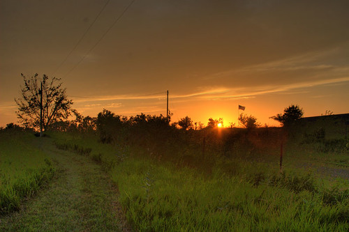
Kansas Sunset
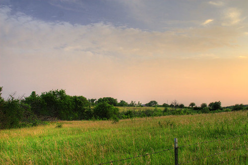
Dusk II
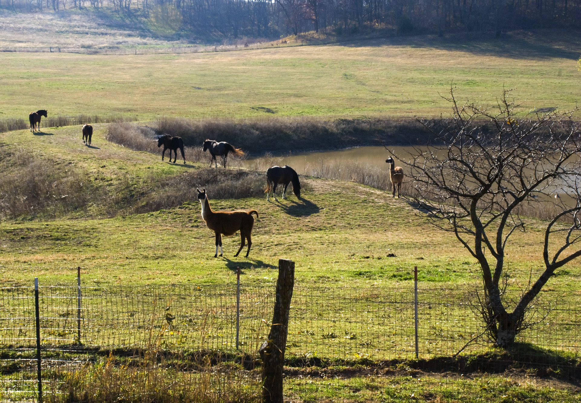
Llamas and horses grazing
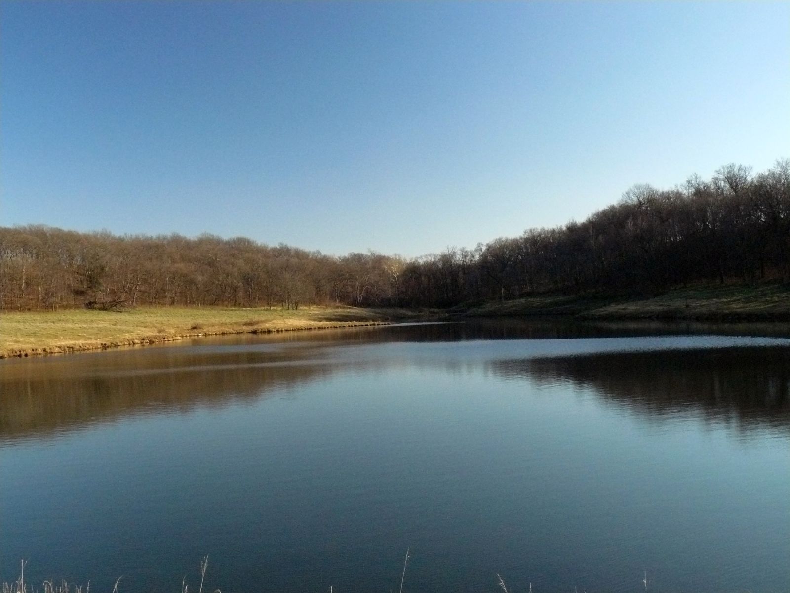
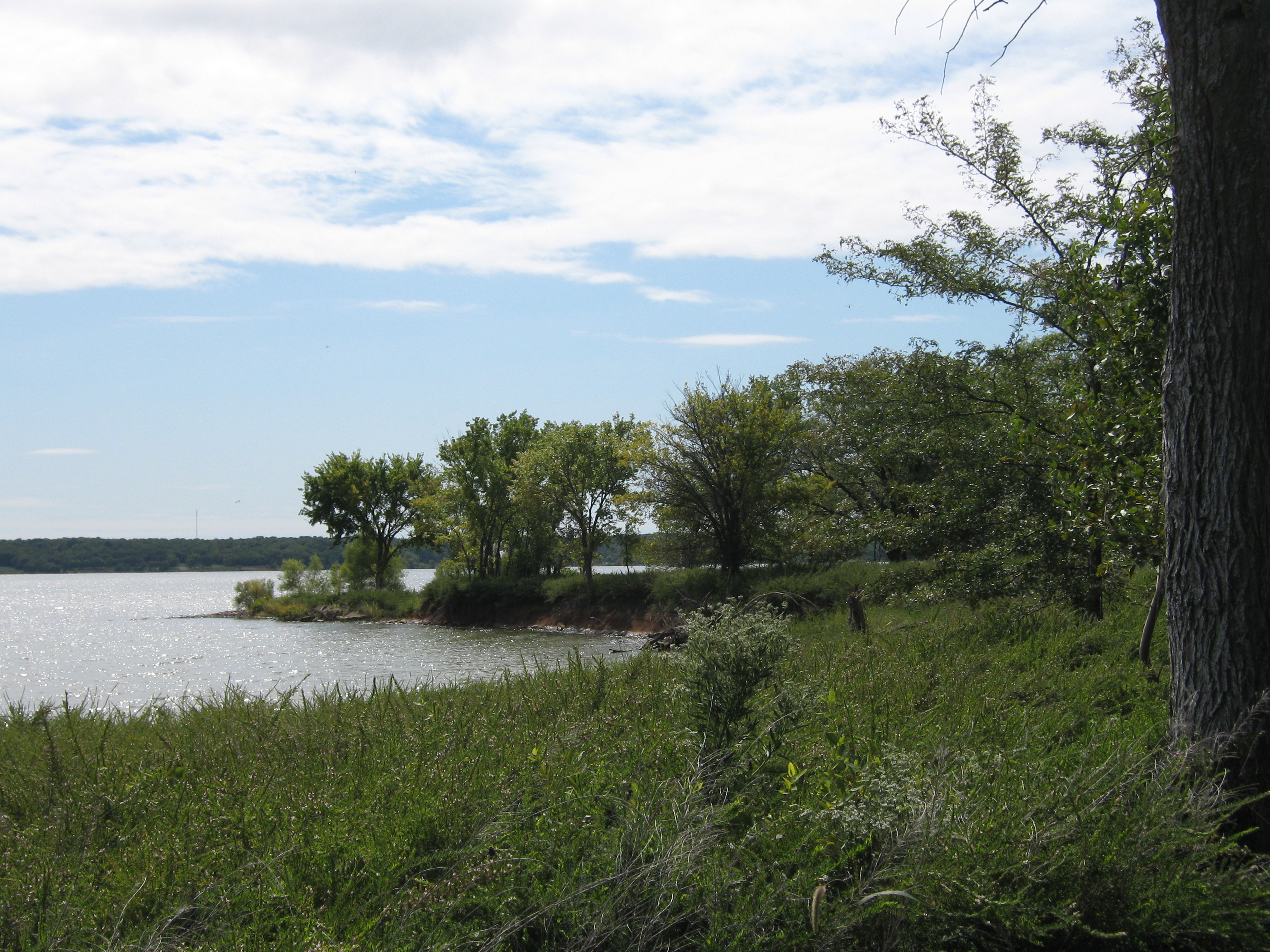
Perry Lake Shore
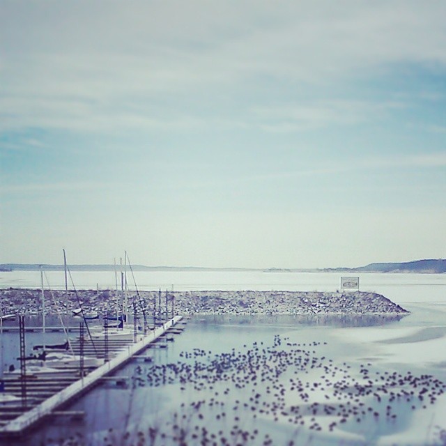
Winter Pond
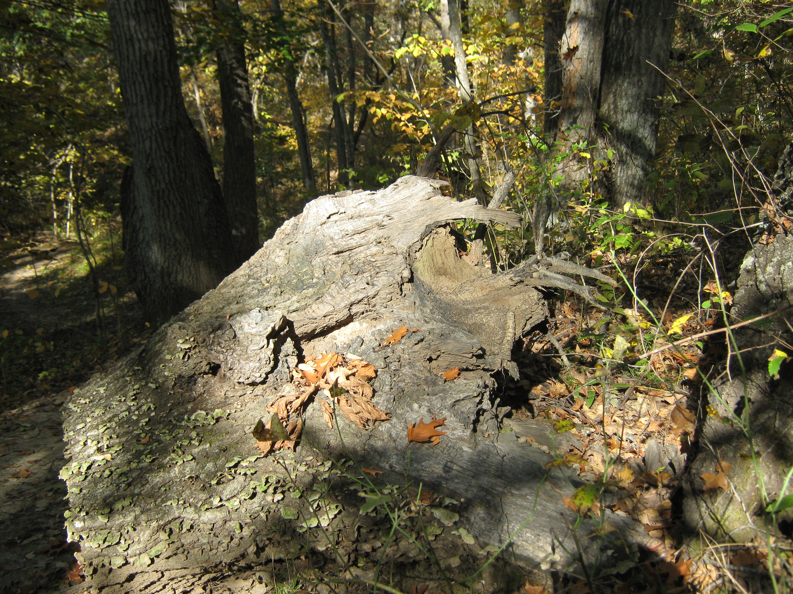
the Winding Path
Went for a drive today. Came back with some boots which fit my feet AND the vintage skis my dad had. Thank you, Craigslist!
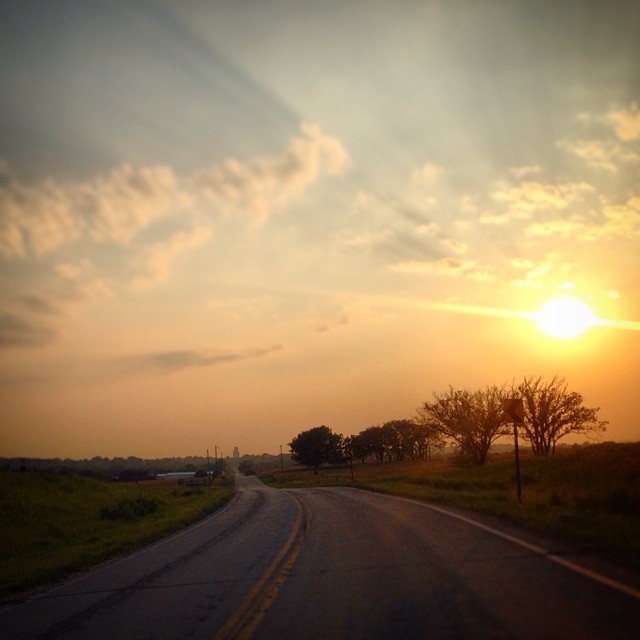
Everyone needs a #drive in the #country once in a while! #kansasproud #kansas #sunset #summer
Perry Lake
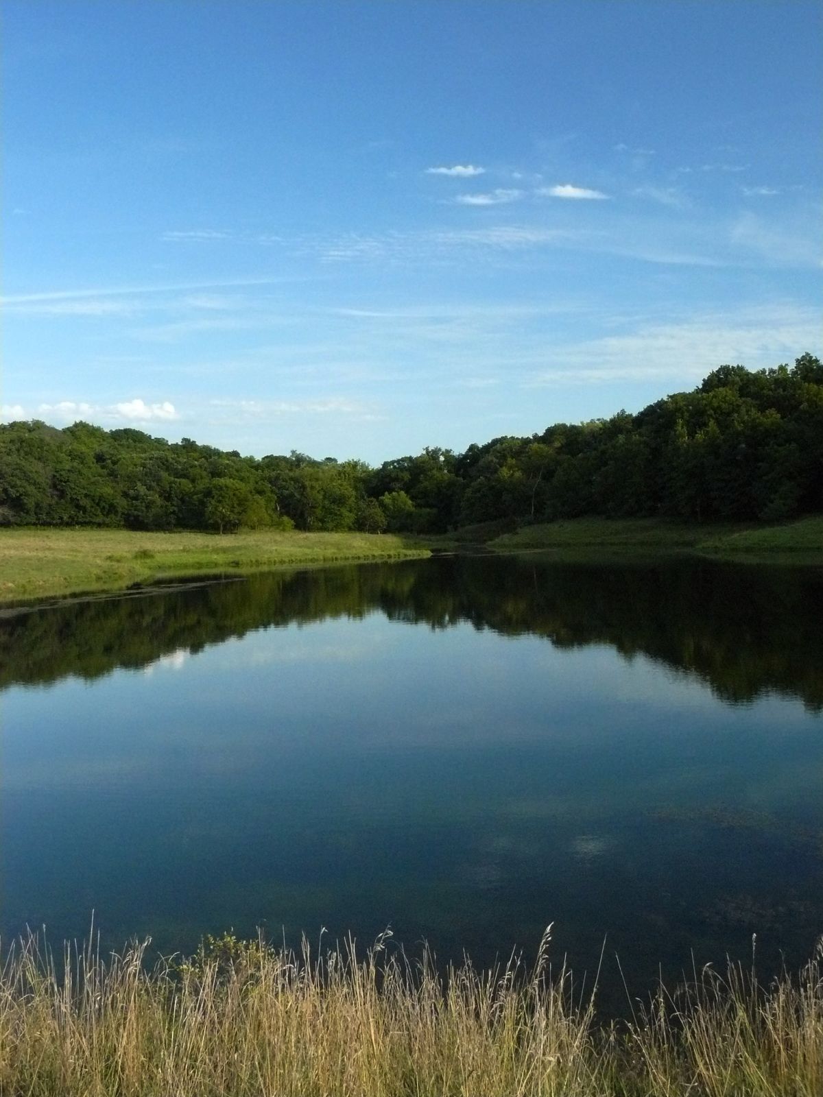
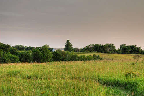
The Pond
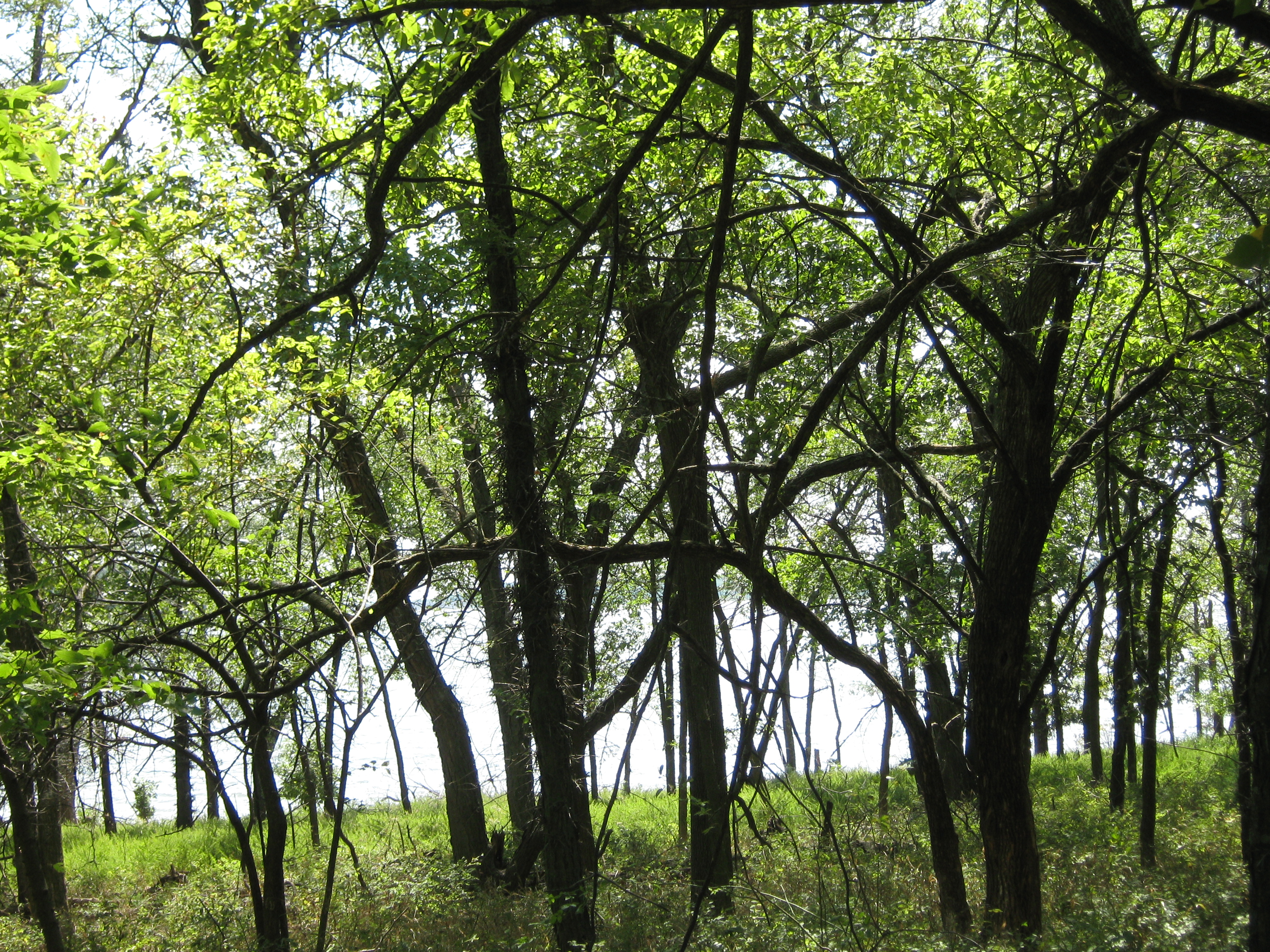
Treeple at Perry State Park
Topographic Map of Cherokee Ln, Ozawkie, KS, USA
Find elevation by address:

Places near Cherokee Ln, Ozawkie, KS, USA:
Ozawkie
Ozawkie
Trail Rd, Meriden, KS, USA
Fairview
Hillcrest Dr, Meriden, KS, USA
Oskaloosa
Valley Health Care Center
10282 K4 Hwy
524 Topeka St
524 Topeka St
524 Topeka St
524 Topeka St
3rd St, Meriden, KS, USA
Jefferson County Court House
Oskaloosa
Jefferson County
Rock Creek
6561 Us-59
Kentucky
Huffman St, Meriden, KS, USA
Recent Searches:
- Elevation of Groblershoop, South Africa
- Elevation of Power Generation Enterprises | Industrial Diesel Generators, Oak Ave, Canyon Country, CA, USA
- Elevation of Chesaw Rd, Oroville, WA, USA
- Elevation of N, Mt Pleasant, UT, USA
- Elevation of 6 Rue Jules Ferry, Beausoleil, France
- Elevation of Sattva Horizon, 4JC6+G9P, Vinayak Nagar, Kattigenahalli, Bengaluru, Karnataka, India
- Elevation of Great Brook Sports, Gold Star Hwy, Groton, CT, USA
- Elevation of 10 Mountain Laurels Dr, Nashua, NH, USA
- Elevation of 16 Gilboa Ln, Nashua, NH, USA
- Elevation of Laurel Rd, Townsend, TN, USA