Elevation of K4 Hwy, Meriden, KS, USA
Location: United States > Kansas > Jefferson County > Rock Creek > Meriden >
Longitude: -95.534093
Latitude: 39.2315951
Elevation: 328m / 1076feet
Barometric Pressure: 97KPa
Elevation Map:
Satellite Map:
Related Photos:
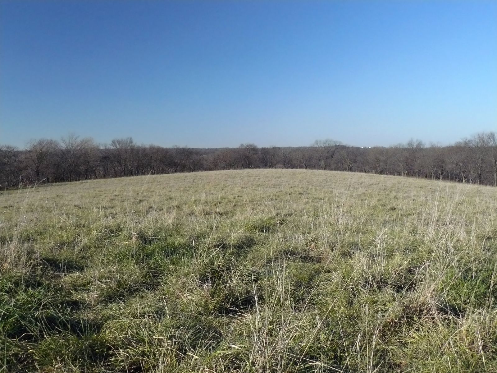
Curvature of the Earth

My view above. Direct sunlight. Maybe I'll get some color.
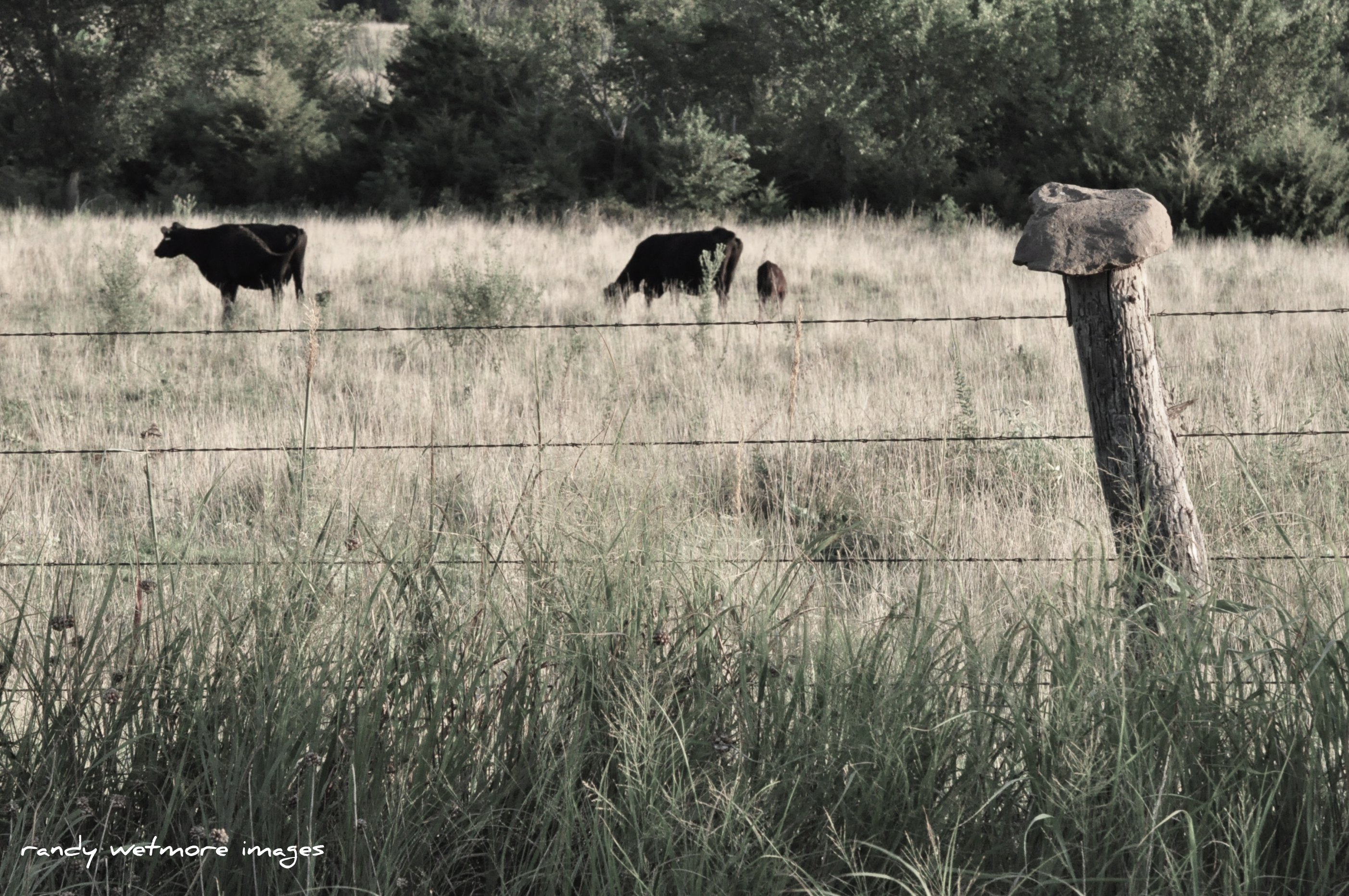
Rock Top Fence
photos from i phone 059
Went for a drive today. Came back with some boots which fit my feet AND the vintage skis my dad had. Thank you, Craigslist!
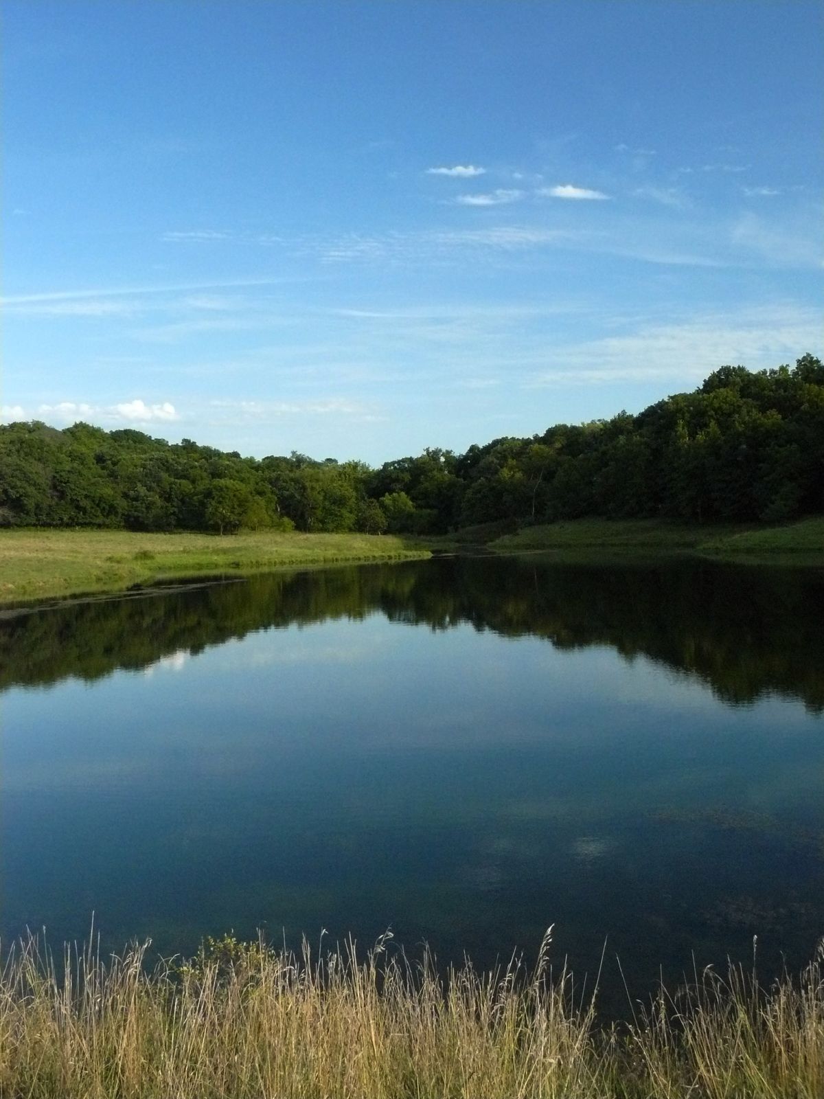
The Pond
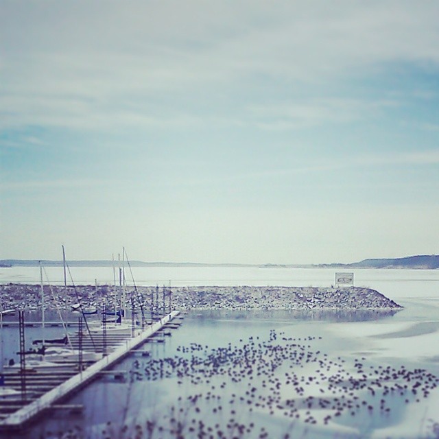
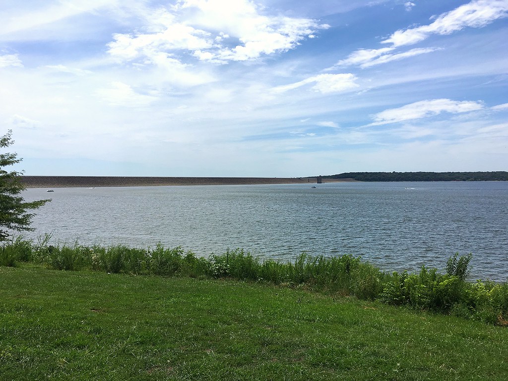
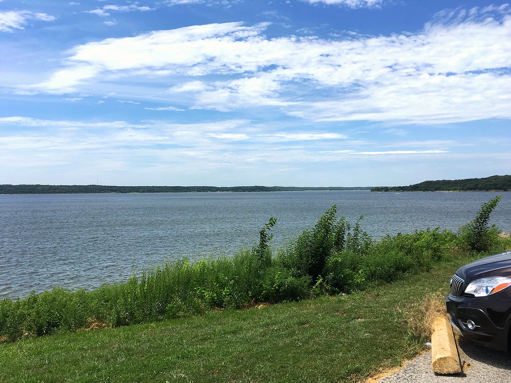
Perry Lake Shore
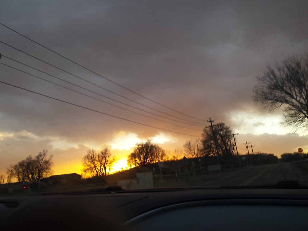
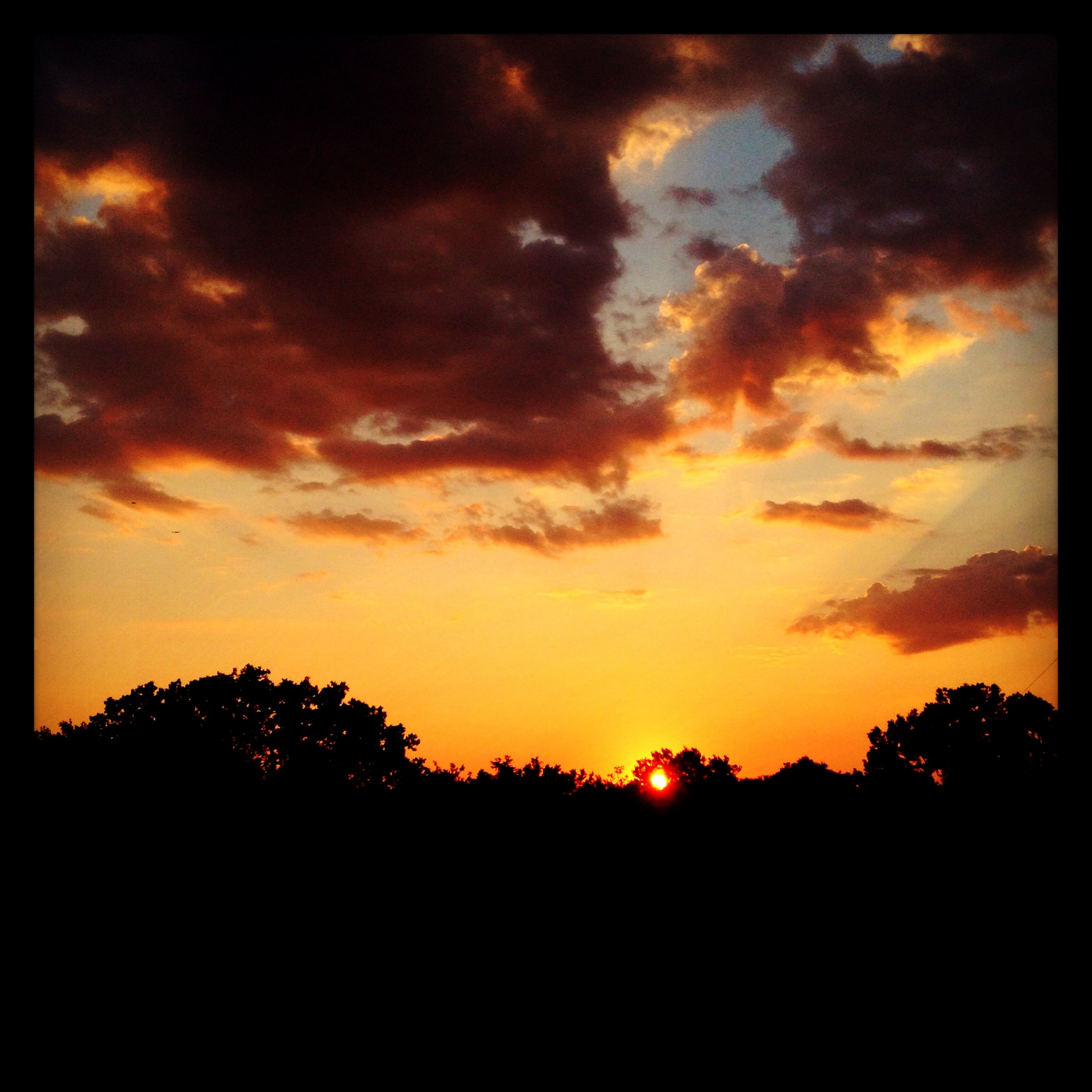
017/365 [2015] :: Sunset!
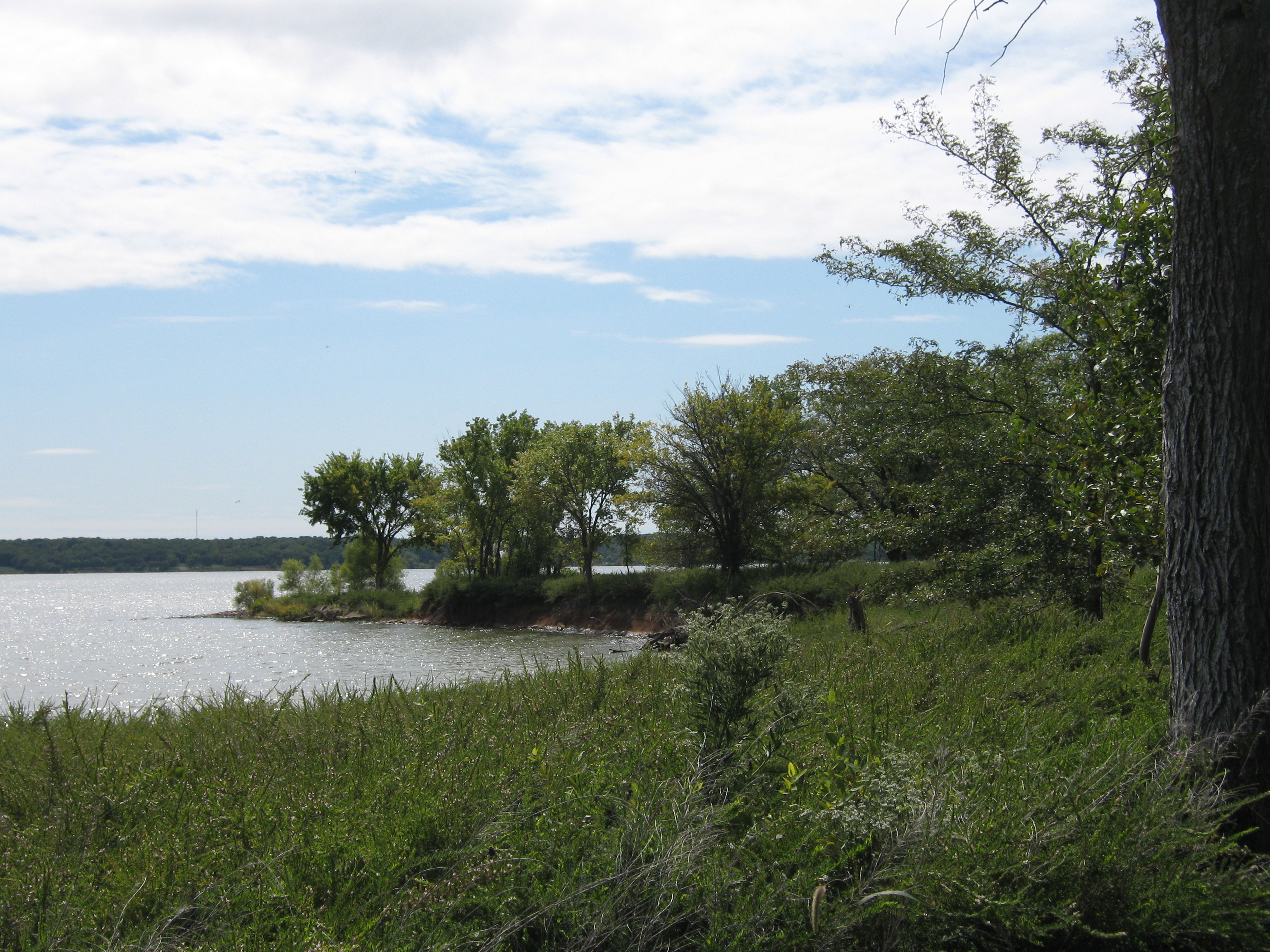
Perry Lake
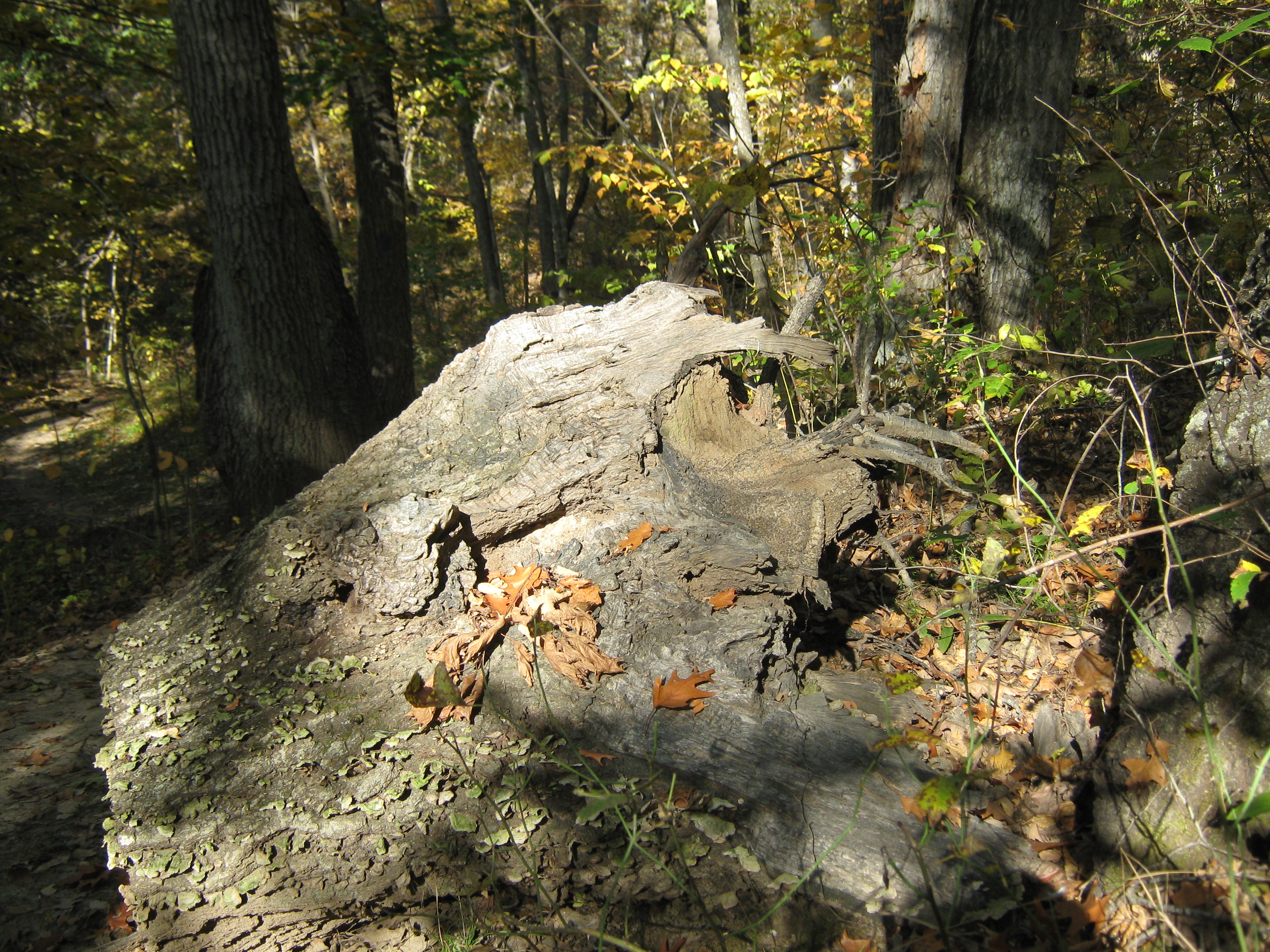
Treeple at Perry State Park
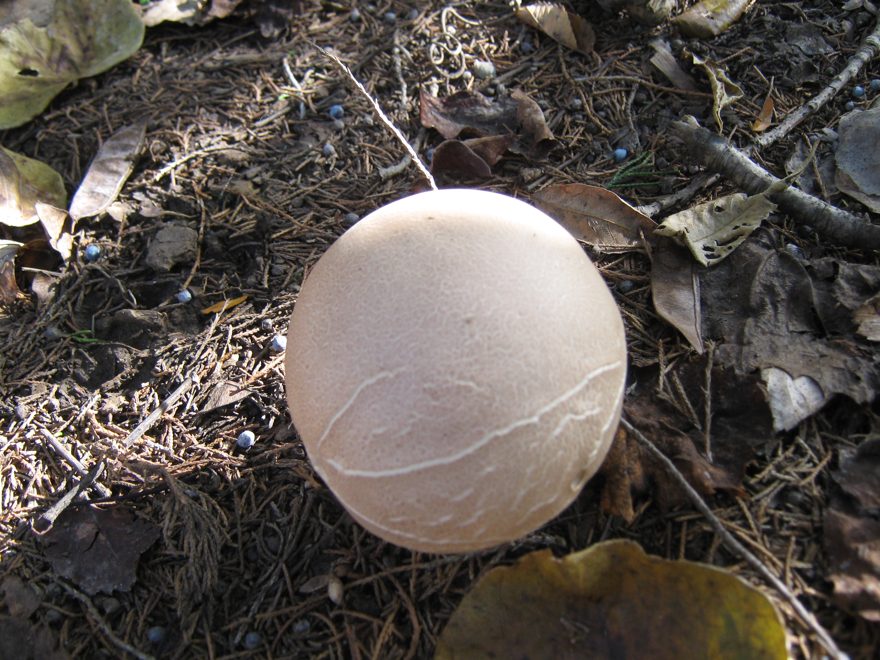
Toadstool at Perry State Park

DETOUR!!

On the way to KU
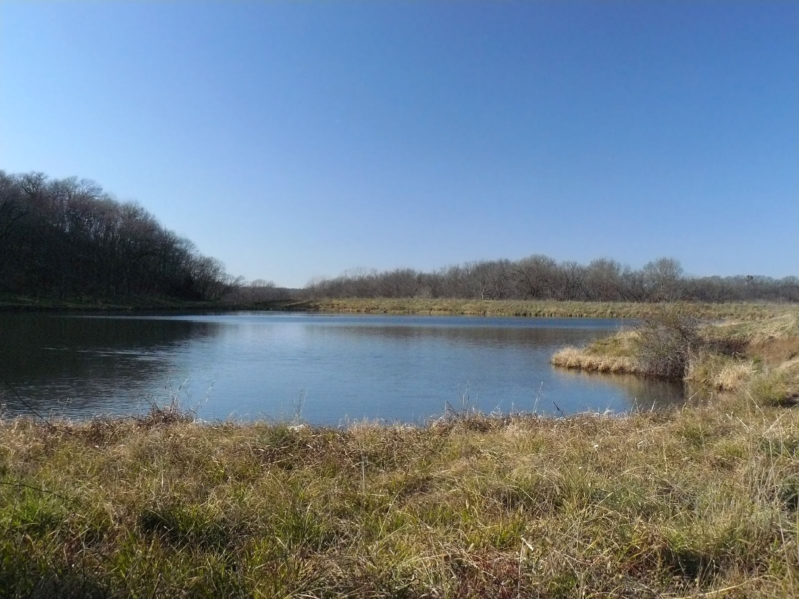
The Pond

Perry State Park
7.23.16-1
7.23.16-2

2012-LAWRENCE34-Marysville2

2011-KANSAS58-lake perry3
Topographic Map of K4 Hwy, Meriden, KS, USA
Find elevation by address:

Places near K4 Hwy, Meriden, KS, USA:
3rd St, Meriden, KS, USA
Rock Creek
Huffman St, Meriden, KS, USA
Meriden
Trail Rd, Meriden, KS, USA
Ozawkie
Hillcrest Dr, Meriden, KS, USA
Cherokee Ln, Ozawkie, KS, USA
Ozawkie
Valley Health Care Center
Fairview
North Fairview Elementary School
Newman Rd, Perry, KS, USA
Kentucky
SE 2nd St, Tecumseh, KS, USA
N Rd, Lecompton, KS, USA
Tecumseh
Bridge Rd, Perry, KS, USA
Tecumseh
Oskaloosa
Recent Searches:
- Elevation of Crystal Cir, Birmingham, AL, USA
- Elevation of N Railroad Ave, West Palm Beach, FL, USA
- Elevation of 55 Cassick Valley Rd, Wellfleet, MA, USA
- Elevation of Ironwood Dr, Minden, NV, USA
- Elevation of 高尾山口駅, Takaomachi, Hachioji, Tokyo -, Japan
- Elevation of 15 Victory Ave, Greenville, SC, USA
- Elevation of Kota Ternate Utara, Ternate City, North Maluku, Indonesia
- Elevation of Allon St, Oceanside, NY, USA
- Elevation of Carroll Creek Rd, Custer, SD, USA
- Elevation of Lust Road, Lust Rd, Florida, USA