Elevation of Main St, Winchester, KS, USA
Location: United States > Kansas > Jefferson County > Jefferson > Winchester >
Longitude: -95.266611
Latitude: 39.321921
Elevation: 358m / 1175feet
Barometric Pressure: 97KPa
Elevation Map:
Satellite Map:
Related Photos:

This view again #love
Rail Safari Fall 2010
Curvature of the Earth
Shantivanam House of Prayer (2005)

Abandoned...
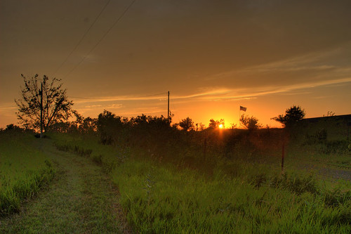
Fragile Sunset
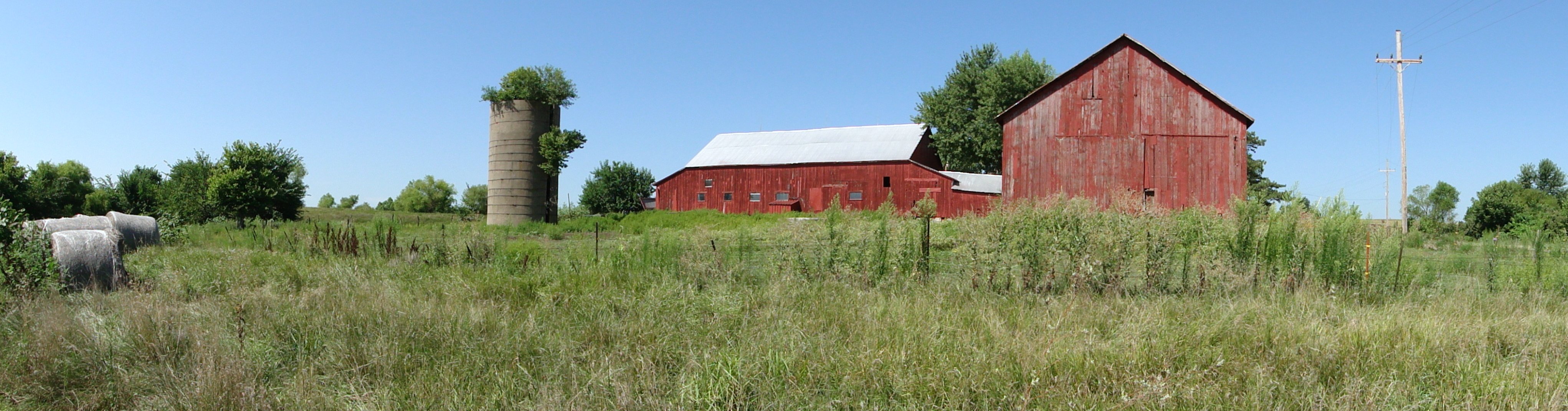
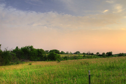
Farm landscape
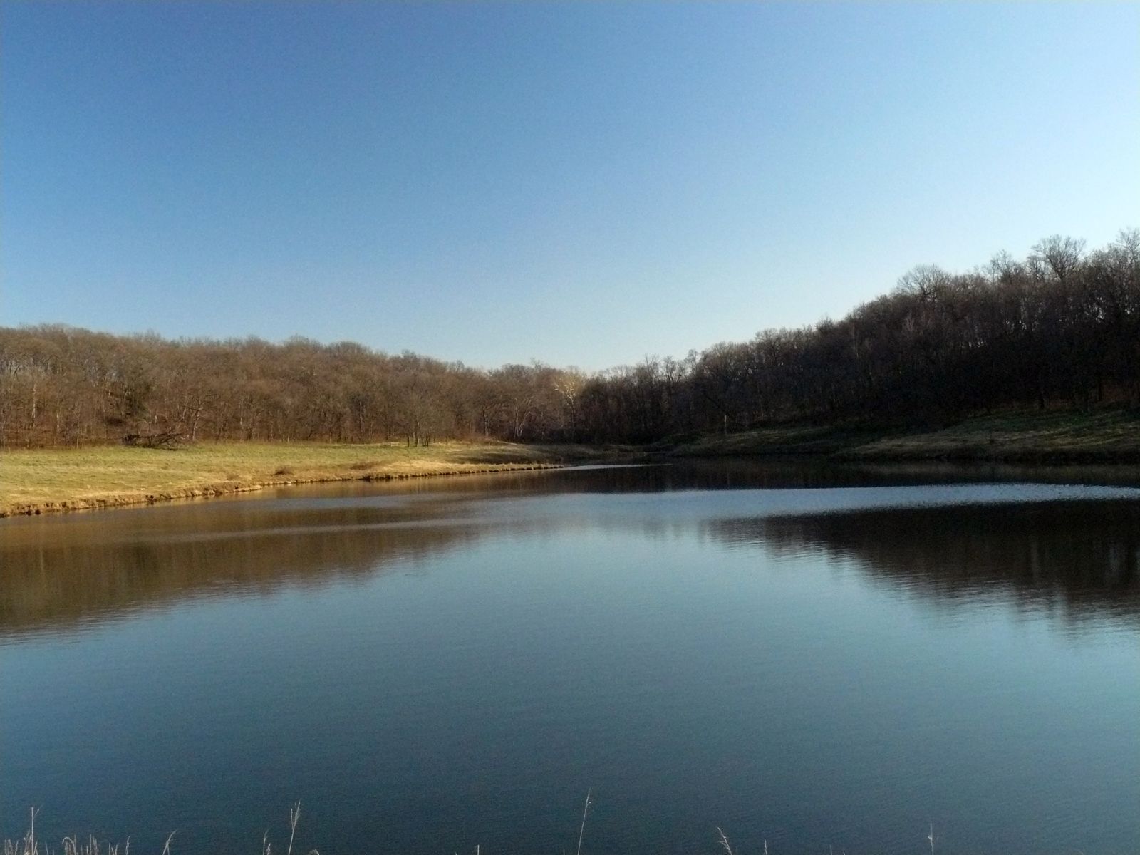
Winter Pond

Summer Hay
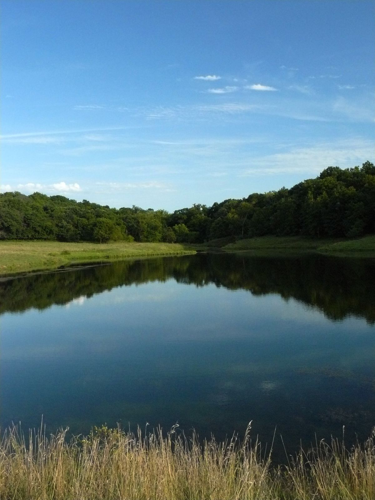
The Pond
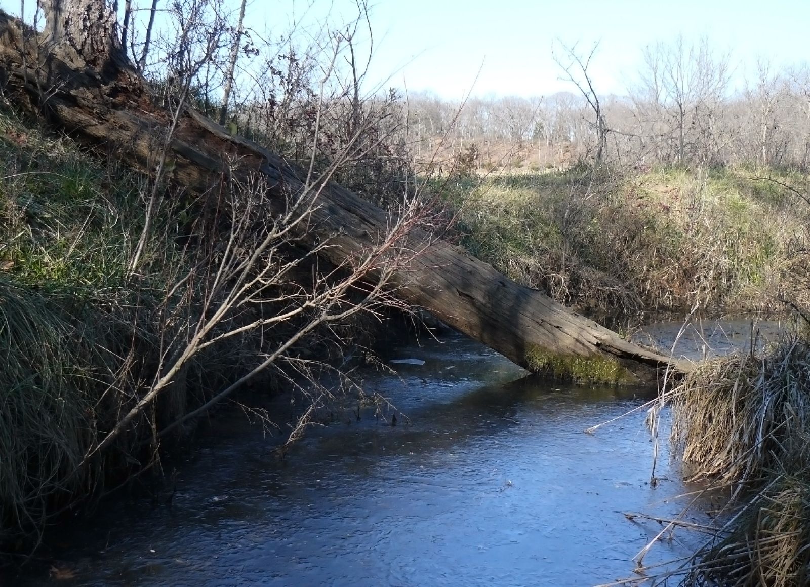
Frozen stream
Family Farm
Rail Safari Fall 2010

Open range
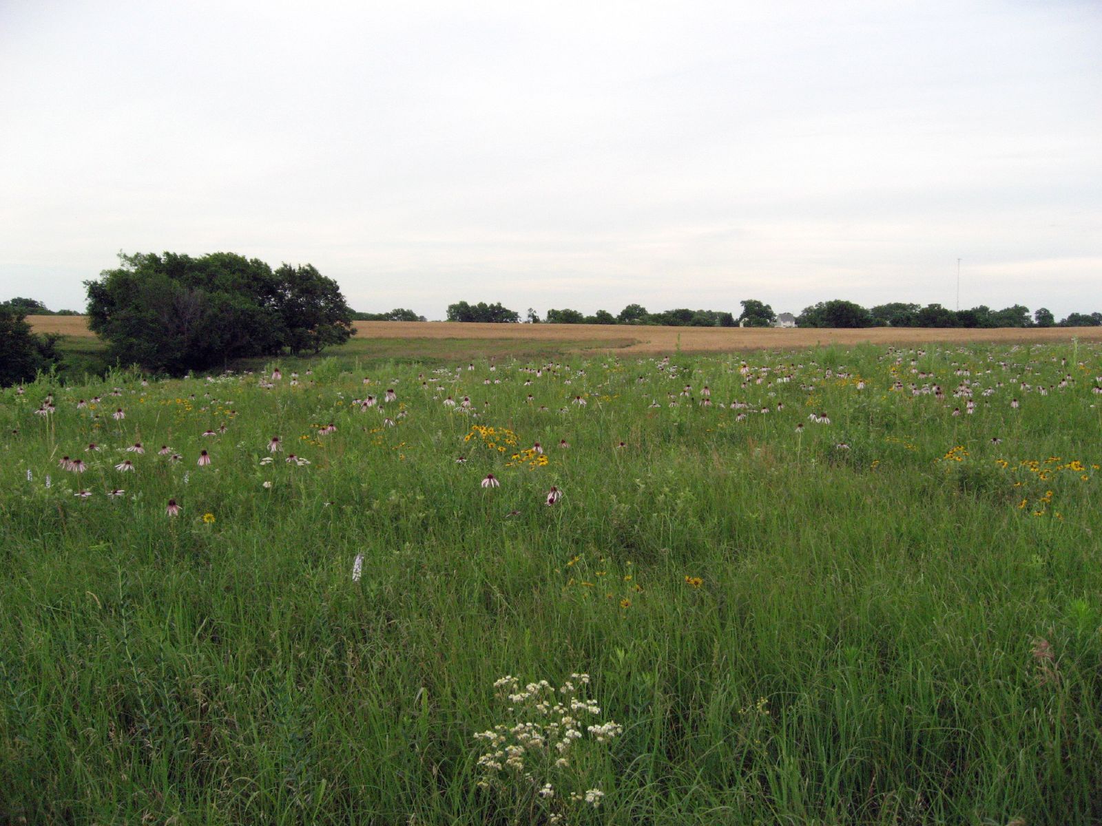
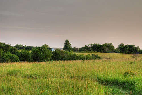
The big field
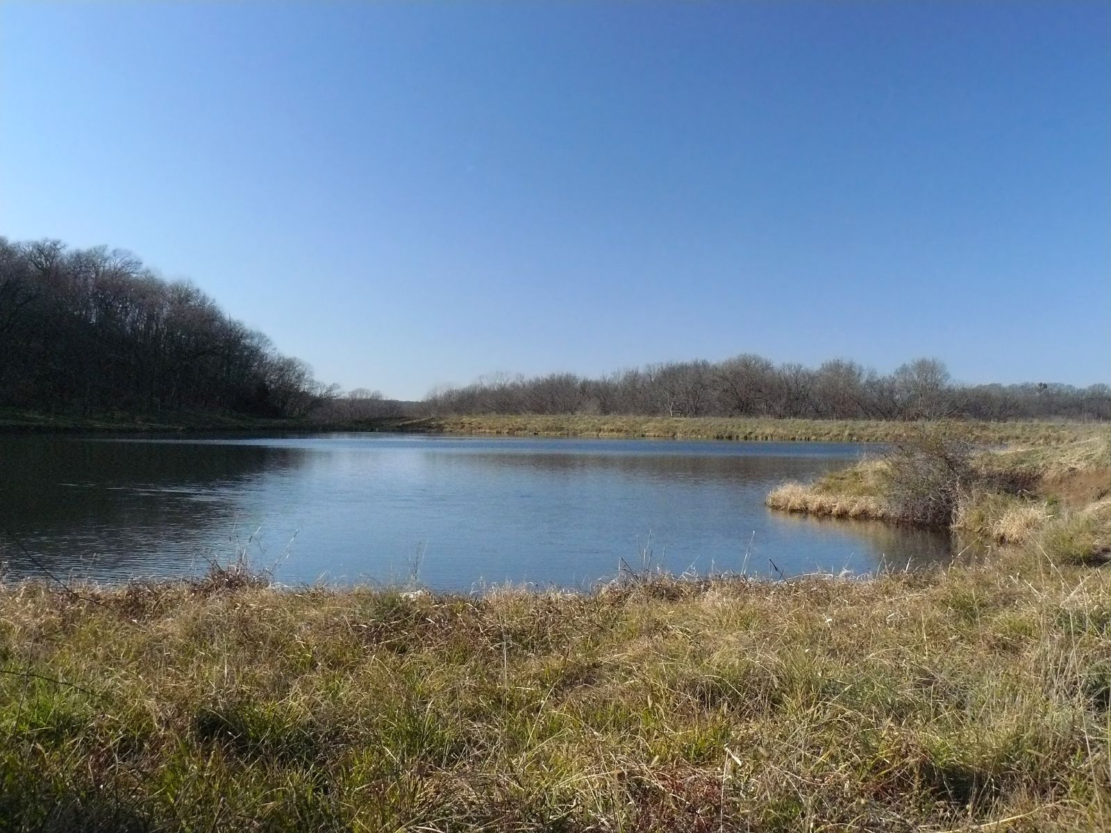
The Pond
Kansas Sunset
Dusk II
the Winding Path
Topographic Map of Main St, Winchester, KS, USA
Find elevation by address:

Places near Main St, Winchester, KS, USA:
Winchester
Jefferson
235th Street & Broad Street
23612 Ks-192
Easton
23689 Springdale Rd
23689 Springdale Rd
23689 Springdale Rd
Easton
W Riley St, Easton, KS, USA
Alexandria
Smiley Rd, Leavenworth, KS, USA
29371 195th St
Гилман-роуд, Leavenworth, KS, USA
High Prairie
Kickapoo
1625 Shawnee St
1412 S 16th St
921 Spruce St
Leavenworth
Recent Searches:
- Elevation of 6 Rue Jules Ferry, Beausoleil, France
- Elevation of Sattva Horizon, 4JC6+G9P, Vinayak Nagar, Kattigenahalli, Bengaluru, Karnataka, India
- Elevation of Great Brook Sports, Gold Star Hwy, Groton, CT, USA
- Elevation of 10 Mountain Laurels Dr, Nashua, NH, USA
- Elevation of 16 Gilboa Ln, Nashua, NH, USA
- Elevation of Laurel Rd, Townsend, TN, USA
- Elevation of 3 Nestling Wood Dr, Long Valley, NJ, USA
- Elevation of Ilungu, Tanzania
- Elevation of Yellow Springs Road, Yellow Springs Rd, Chester Springs, PA, USA
- Elevation of Rēzekne Municipality, Latvia