Elevation of W Riley St, Easton, KS, USA
Location: United States > Kansas > Leavenworth County > Easton > Easton >
Longitude: -95.115673
Latitude: 39.345197
Elevation: 276m / 906feet
Barometric Pressure: 98KPa
Elevation Map:
Satellite Map:
Related Photos:
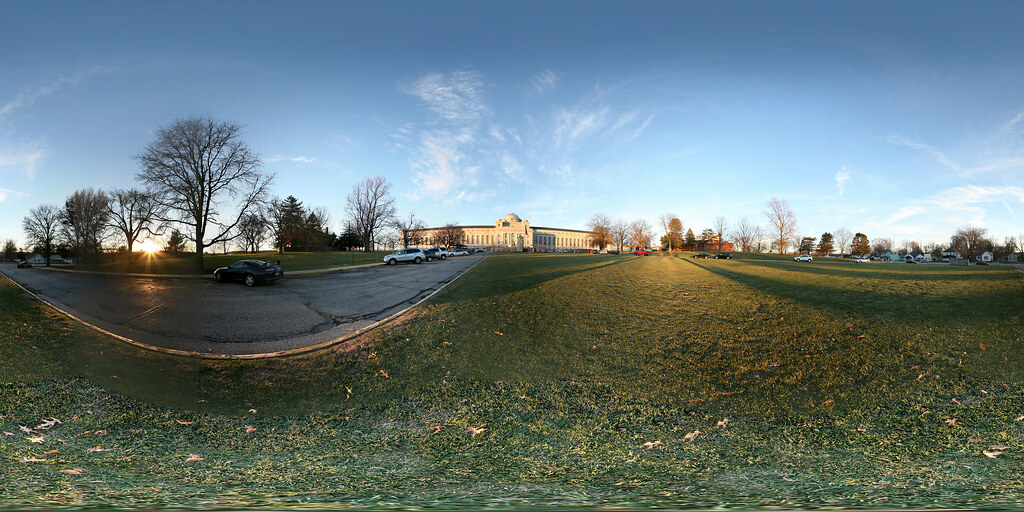
Spherical Photograph at the Federal Penitentiary in Leavenworth, Kansas
Spherical Photograph at the Federal Penitentiary in Leavenworth, Kansas
Rail Safari Fall 2010
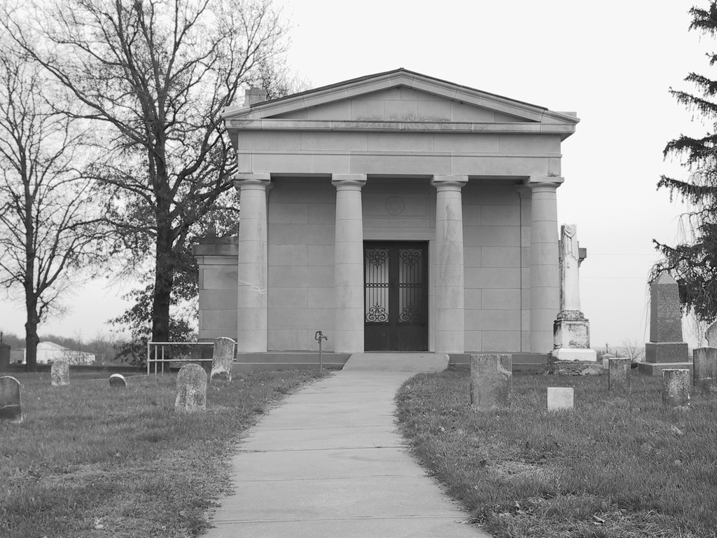
Mt. Zion Cemetery (Leavenworth)
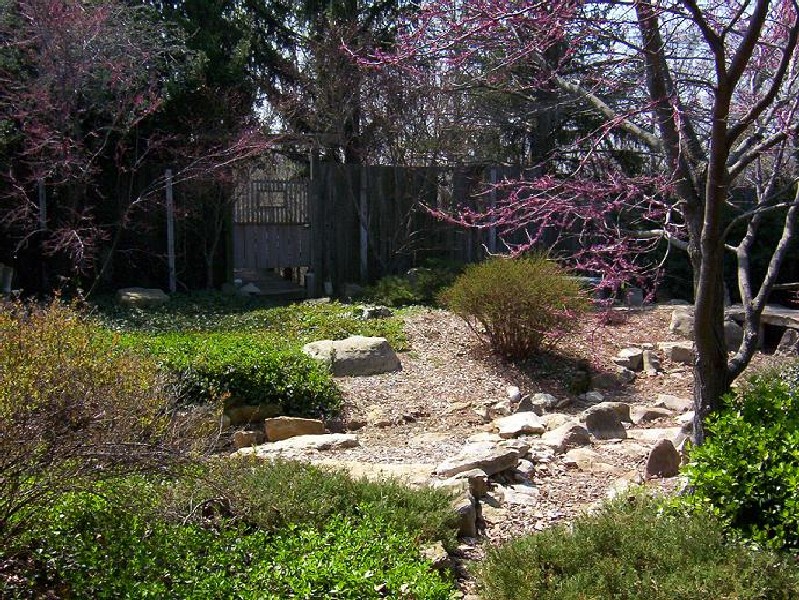
Shantivanam House of Prayer (2005)

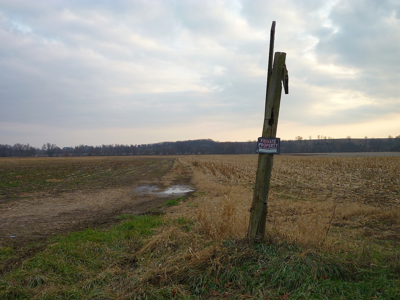
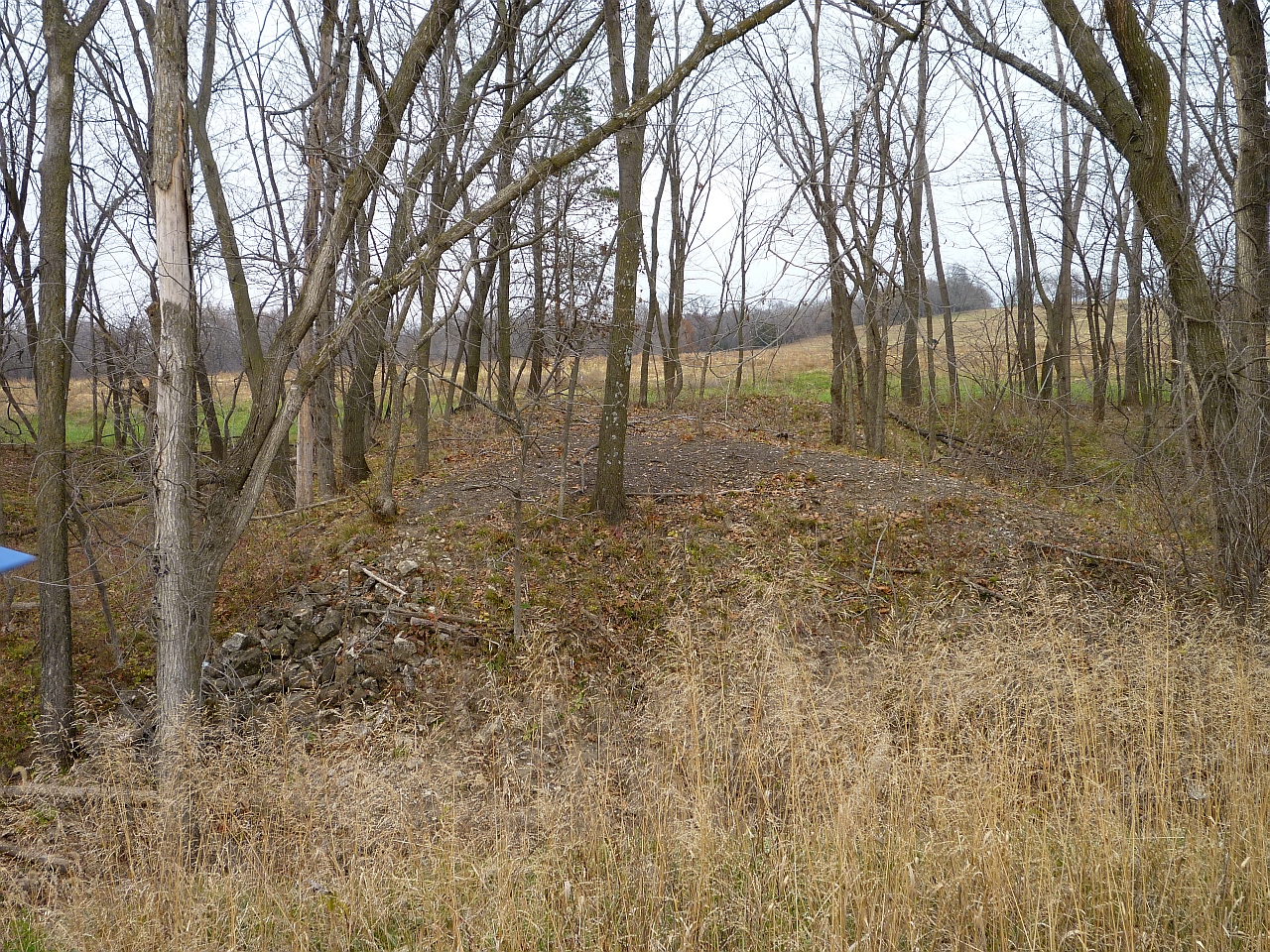
Abandoned...

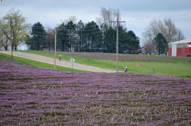
Kickapoo Soy Field

John Deere

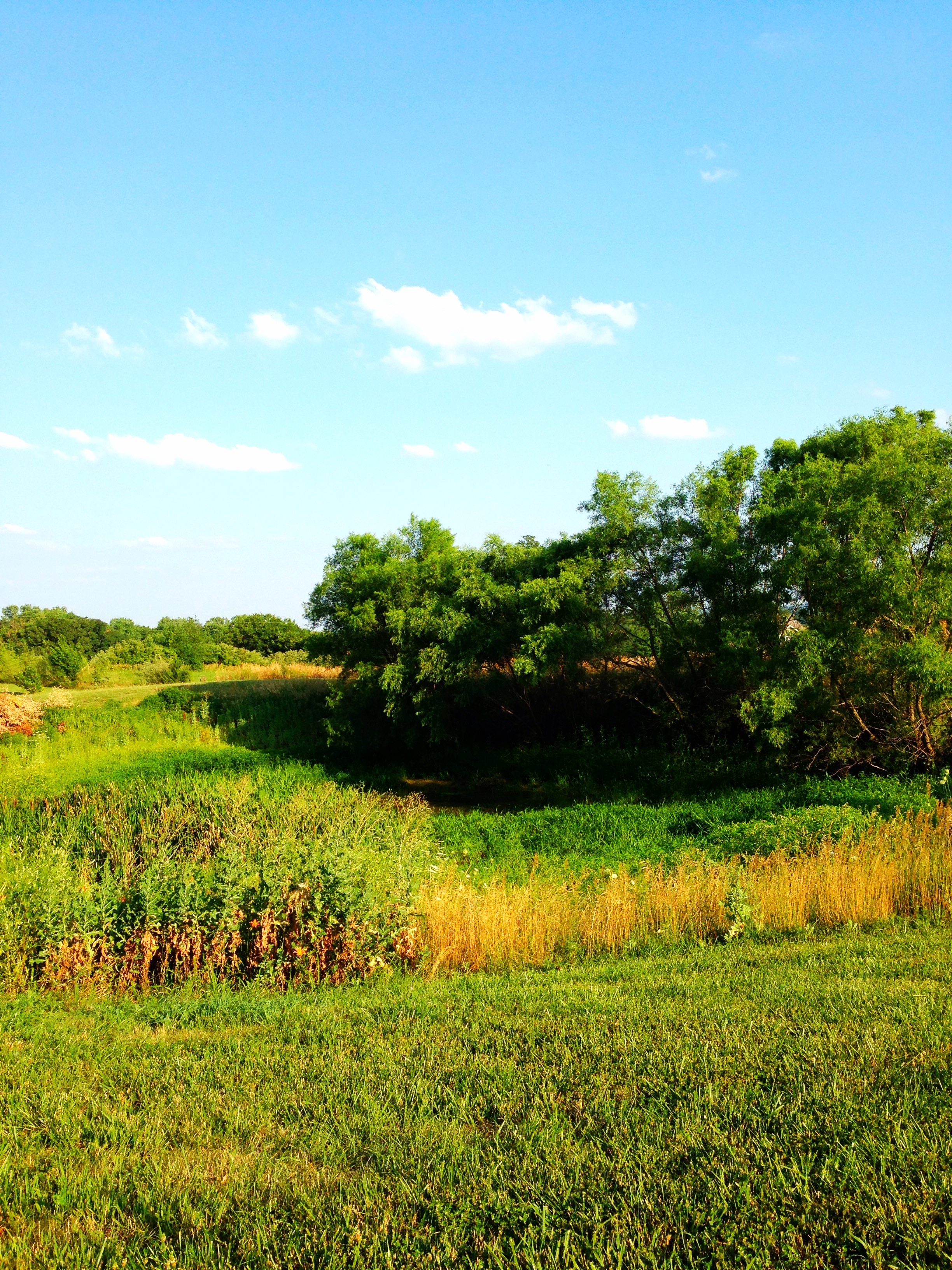
Rolling Hills
Afternoon in the backyard
Rail Safari Fall 2010

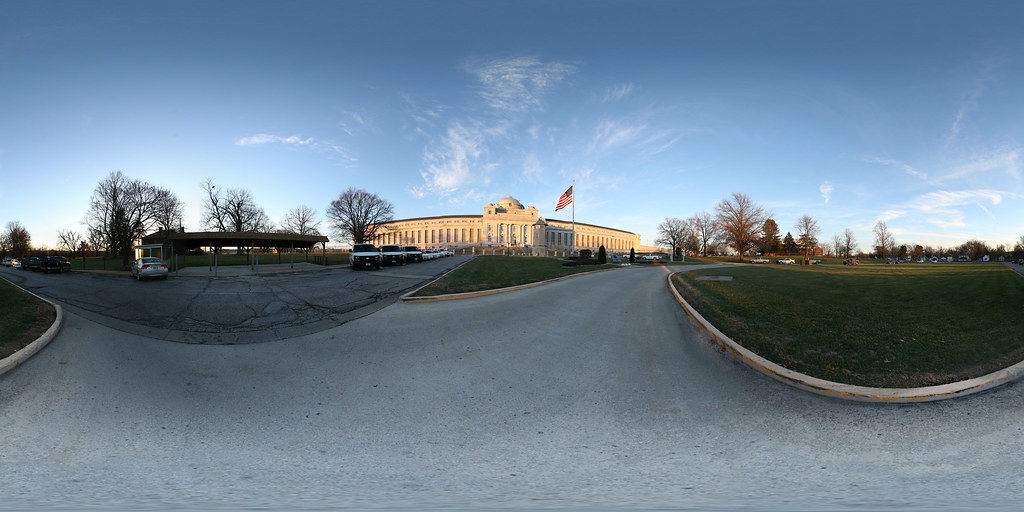
United States Penitentiary, Leavenworth.
2013-TT-BMETT-RoundPrairieRoad-0427

2013JSRR 246
This is Kansas
Topographic Map of W Riley St, Easton, KS, USA
Find elevation by address:

Places near W Riley St, Easton, KS, USA:
Easton
23612 Ks-192
235th Street & Broad Street
Easton
Alexandria
23689 Springdale Rd
23689 Springdale Rd
23689 Springdale Rd
29371 195th St
Kickapoo
Jefferson
High Prairie
Гилман-роуд, Leavenworth, KS, USA
Smiley Rd, Leavenworth, KS, USA
Main St, Winchester, KS, USA
Winchester
1625 Shawnee St
1412 S 16th St
921 Spruce St
Grant Ave, Fort Leavenworth, KS, USA
Recent Searches:
- Elevation of Hickory St, Greenville, NC, USA
- Elevation of Poplar Ln, Guffey, CO, USA
- Elevation of Falling Spring Rd, Clyde, NC, USA
- Elevation of Kingsfield St, Castle Rock, CO, USA
- Elevation of AMELIA CT HSE, VA, USA
- Elevation of Abbey Dr, Virginia Beach, VA, USA
- Elevation of Brooks Lp, Spearfish, SD, USA
- Elevation of Panther Dr, Maggie Valley, NC, USA
- Elevation of Jais St - Wadi Shehah - Ras al Khaimah - United Arab Emirates
- Elevation of Shawnee Avenue, Shawnee Ave, Easton, PA, USA