Elevation of Vadgaon, Maharashtra, India
Location: India > Maharashtra > Kolhapur >
Longitude: 74.034786
Latitude: 16.924018
Elevation: 568m / 1864feet
Barometric Pressure: 95KPa
Elevation Map:
Satellite Map:
Related Photos:

Lush and Green

The religious feelings

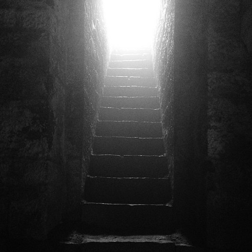
Natural Perls

Jai Shivaji Jai Bhavani #chhatrapati #Shivaji #kolhapur #kolhapurdiaries #travel
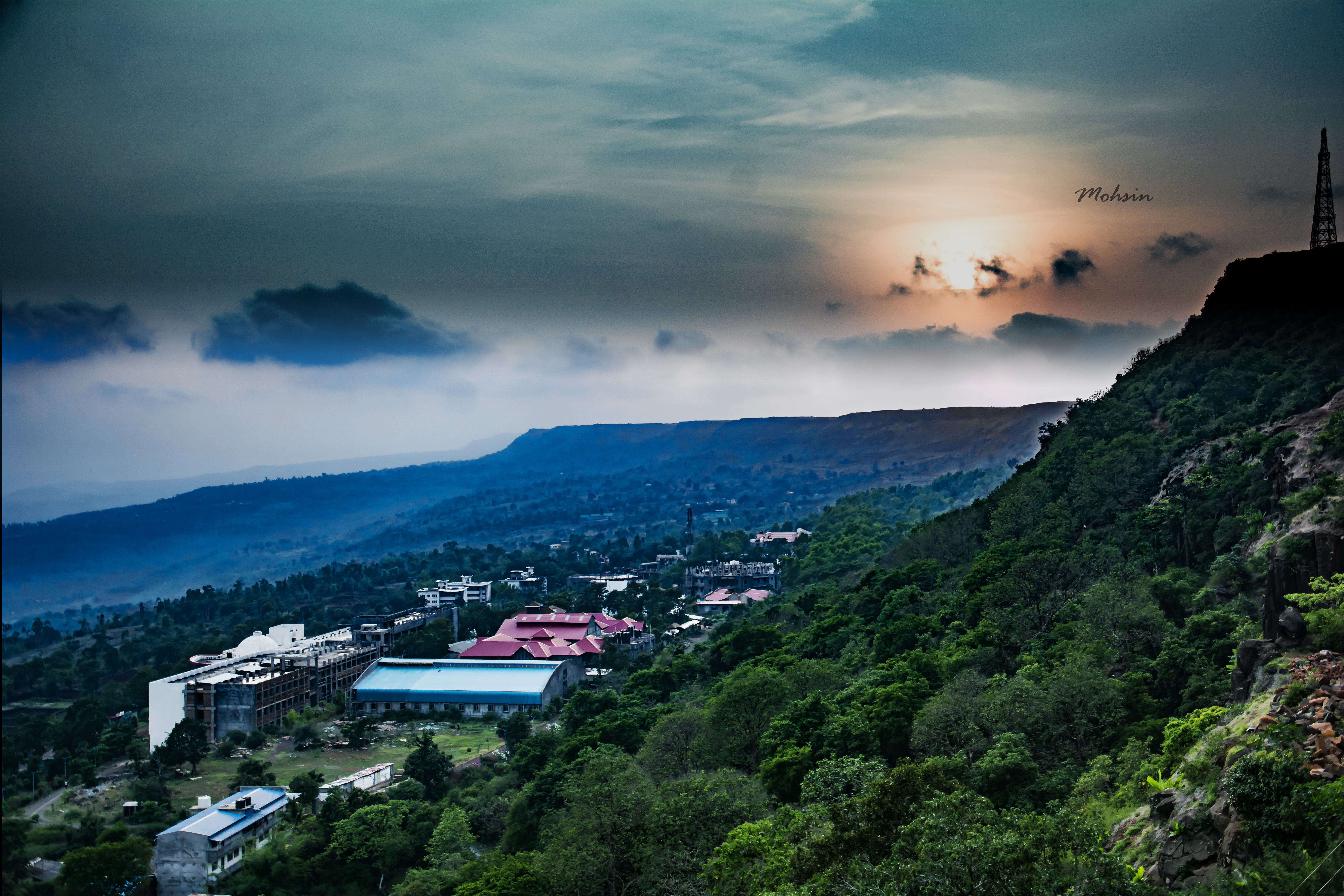
Sunset Point
Who knows the real #history?
Topographic Map of Vadgaon, Maharashtra, India
Find elevation by address:

Places near Vadgaon, Maharashtra, India:
Shimpe
Patane
Shivare
Gogave
Saidapur
Thergaon
Bajagewadi
Yadavwadi
Sambu
Ameni
Nerle
Veer Vadi
Shahuwadi
Arul
Tadavale
Perid
Sawant Mala
Satave
Chikhalwadi
Kadave
Recent Searches:
- Elevation of Falling Spring Rd, Clyde, NC, USA
- Elevation of Kingsfield St, Castle Rock, CO, USA
- Elevation of AMELIA CT HSE, VA, USA
- Elevation of Abbey Dr, Virginia Beach, VA, USA
- Elevation of Brooks Lp, Spearfish, SD, USA
- Elevation of Panther Dr, Maggie Valley, NC, USA
- Elevation of Jais St - Wadi Shehah - Ras al Khaimah - United Arab Emirates
- Elevation of Shawnee Avenue, Shawnee Ave, Easton, PA, USA
- Elevation of Scenic Shore Dr, Kingwood Area, TX, USA
- Elevation of W Prive Cir, Delray Beach, FL, USA