Elevation of Gogave, Maharashtra, India
Location: India > Maharashtra > Kolhapur >
Longitude: 74.0153231
Latitude: 16.8855936
Elevation: 580m / 1903feet
Barometric Pressure: 95KPa
Elevation Map:
Satellite Map:
Related Photos:

Lush and Green

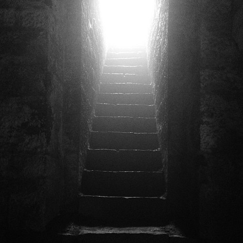
The religious feelings

Natural Perls

Jai Shivaji Jai Bhavani #chhatrapati #Shivaji #kolhapur #kolhapurdiaries #travel
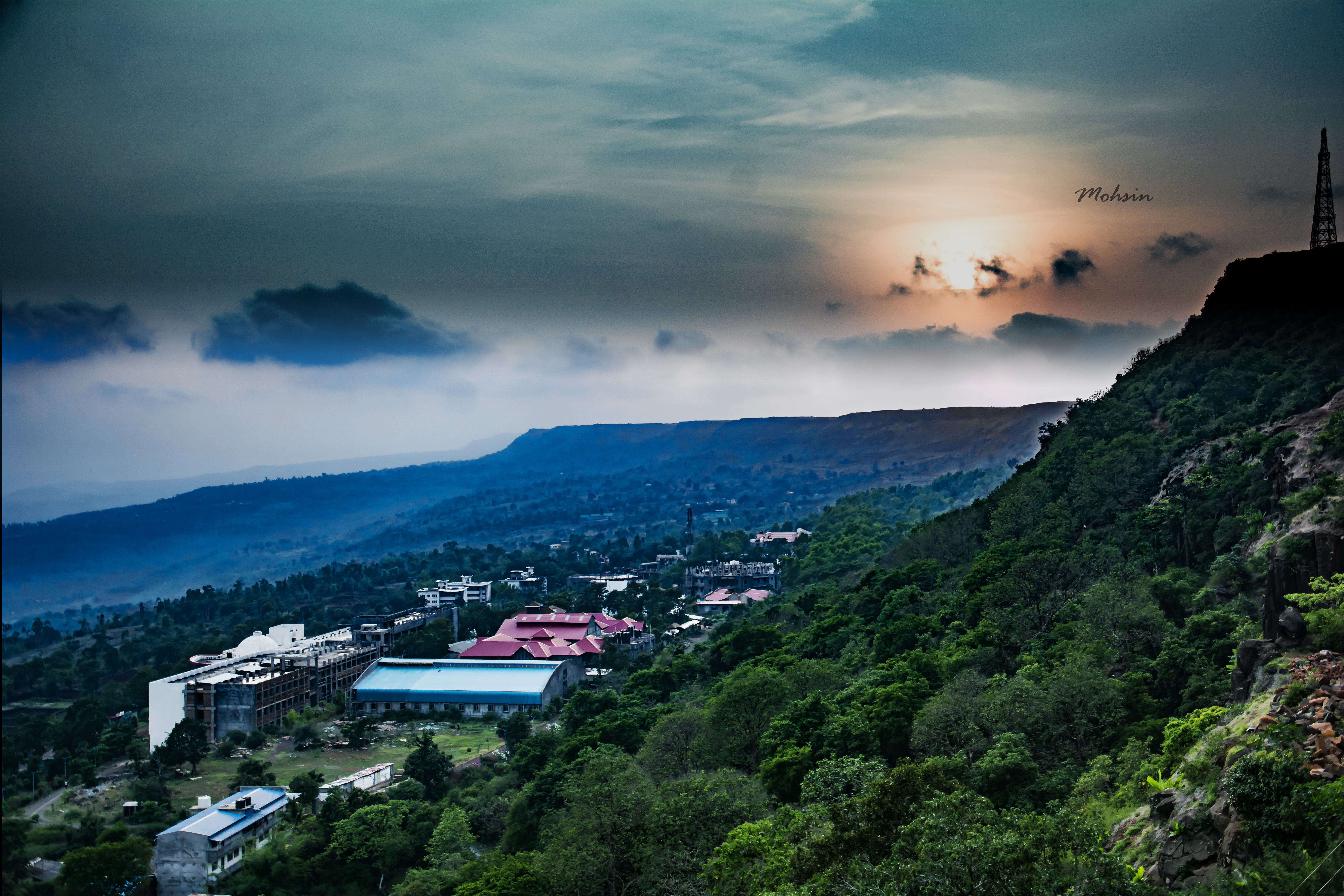
Sunset Point
Who knows the real #history?
Topographic Map of Gogave, Maharashtra, India
Find elevation by address:

Places near Gogave, Maharashtra, India:
Bajagewadi
Patane
Shimpe
Vadgaon
Yadavwadi
Saidapur
Sambu
Arul
Shivare
Shahuwadi
Thergaon
Ameni
Perid
Nerle
Yelur
Parale
Kadave
Shelarwadi
Kode
Satave
Recent Searches:
- Elevation of Suffield, AB T0J 2N0, Canada
- Elevation of Coan West, Coon West, Co. Kilkenny, Ireland
- Elevation of 8 Rue Raoul Dufy, Collioure, France
- Elevation of 6 Muir St, Medowie NSW, Australia
- Elevation of Woodland Road, Woodland Rd, Lee, MA, USA
- Elevation of Turner Mill Rd, Talladega, AL, USA
- Elevation of Wylie Ridge Rd, New Cumberland, WV, USA
- Elevation of Dogwood Ln, Millsboro, DE, USA
- Elevation of Paseo Lucido, San Diego, CA, USA
- Elevation of W S, Orem, UT, USA