Elevation of Patane, Maharashtra, India
Location: India > Maharashtra > Kolhapur >
Longitude: 74.0329499
Latitude: 16.9041801
Elevation: 555m / 1821feet
Barometric Pressure: 95KPa
Elevation Map:
Satellite Map:
Related Photos:

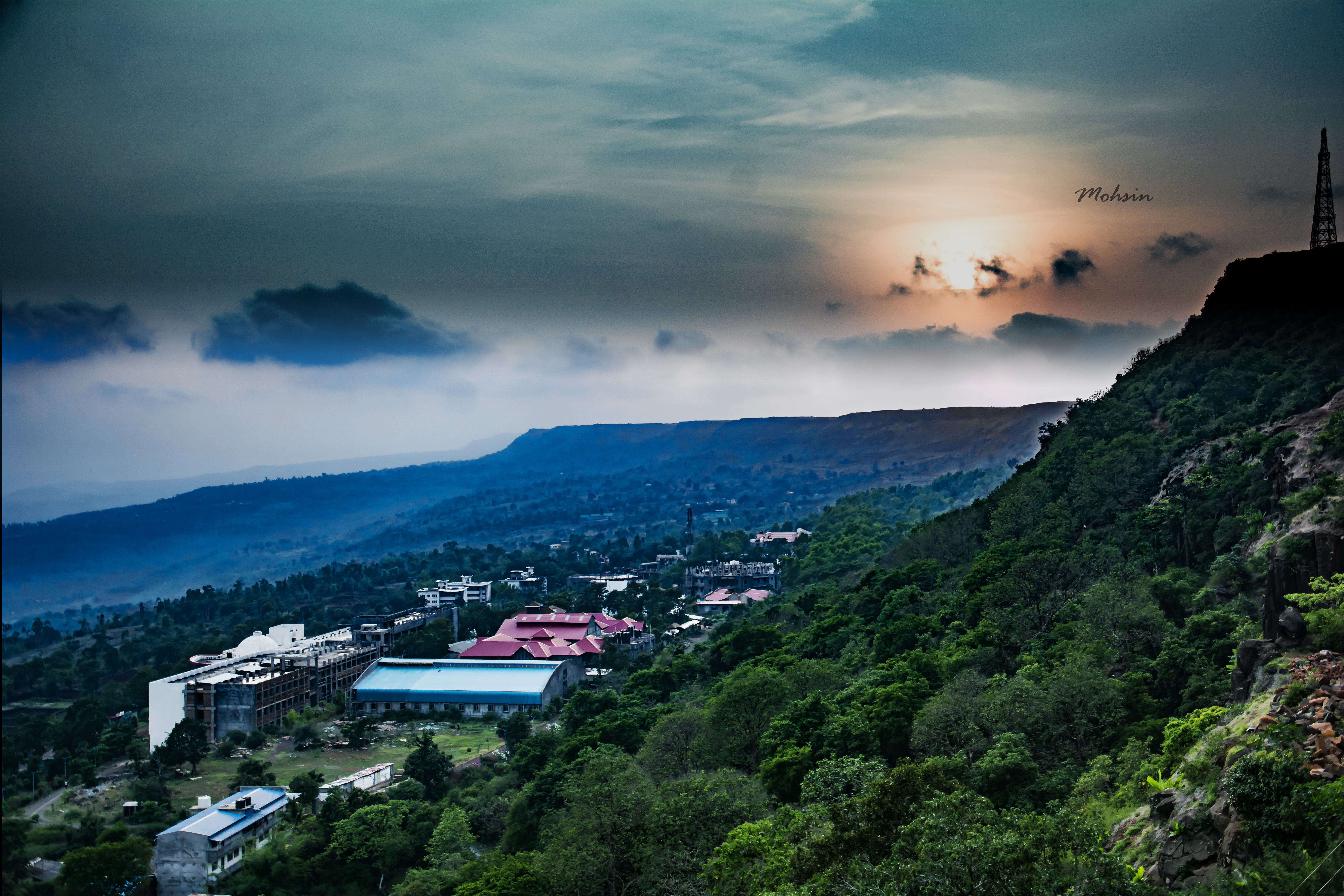
Lush and Green

Jai Shivaji Jai Bhavani #chhatrapati #Shivaji #kolhapur #kolhapurdiaries #travel
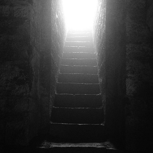
Sunset Point
Who knows the real #history?

The religious feelings

Natural Perls
Topographic Map of Patane, Maharashtra, India
Find elevation by address:

Places near Patane, Maharashtra, India:
Shimpe
Vadgaon
Gogave
Saidapur
Bajagewadi
Shivare
Thergaon
Yadavwadi
Sambu
Ameni
Arul
Shahuwadi
Nerle
Perid
Satave
Veer Vadi
Sawant Mala
Tadavale
Chikhalwadi
Kadave
Recent Searches:
- Elevation of Blattner Rd, Philo, CA, USA
- Elevation of Polzela, Slovenia
- Elevation of Gorod Kislovodsk, Stavropol Krai, Russia
- Elevation of Kislovodsk, Stavropol Krai, Russia
- Elevation of Eagle Stone Drive, Eagle Stone Dr, The Preserve at Corkscrew, FL, USA
- Elevation of Formby Ct, Myrtle Beach, SC, USA
- Elevation of Hobbyhorse Ct, Dover, DE, USA
- Elevation of Horseshoe Ln, Dahlonega, GA, USA
- Elevation of Village Point Dr, Daphne, AL, USA
- Elevation map of Kabardino-Balkarian Republic, Russia