Elevation of VA-, Oakwood, VA, USA
Location: United States > Virginia > Buchanan County > Garden >
Longitude: -81.9928068
Latitude: 37.2647699
Elevation: 400m / 1312feet
Barometric Pressure: 0KPa
Related Photos:
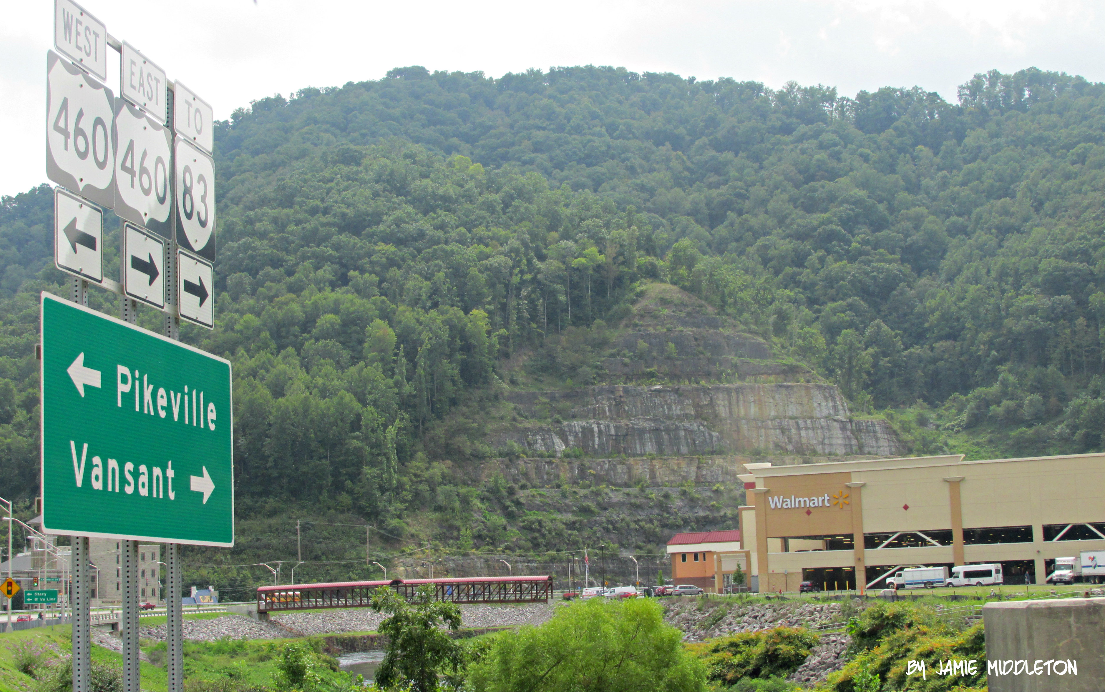
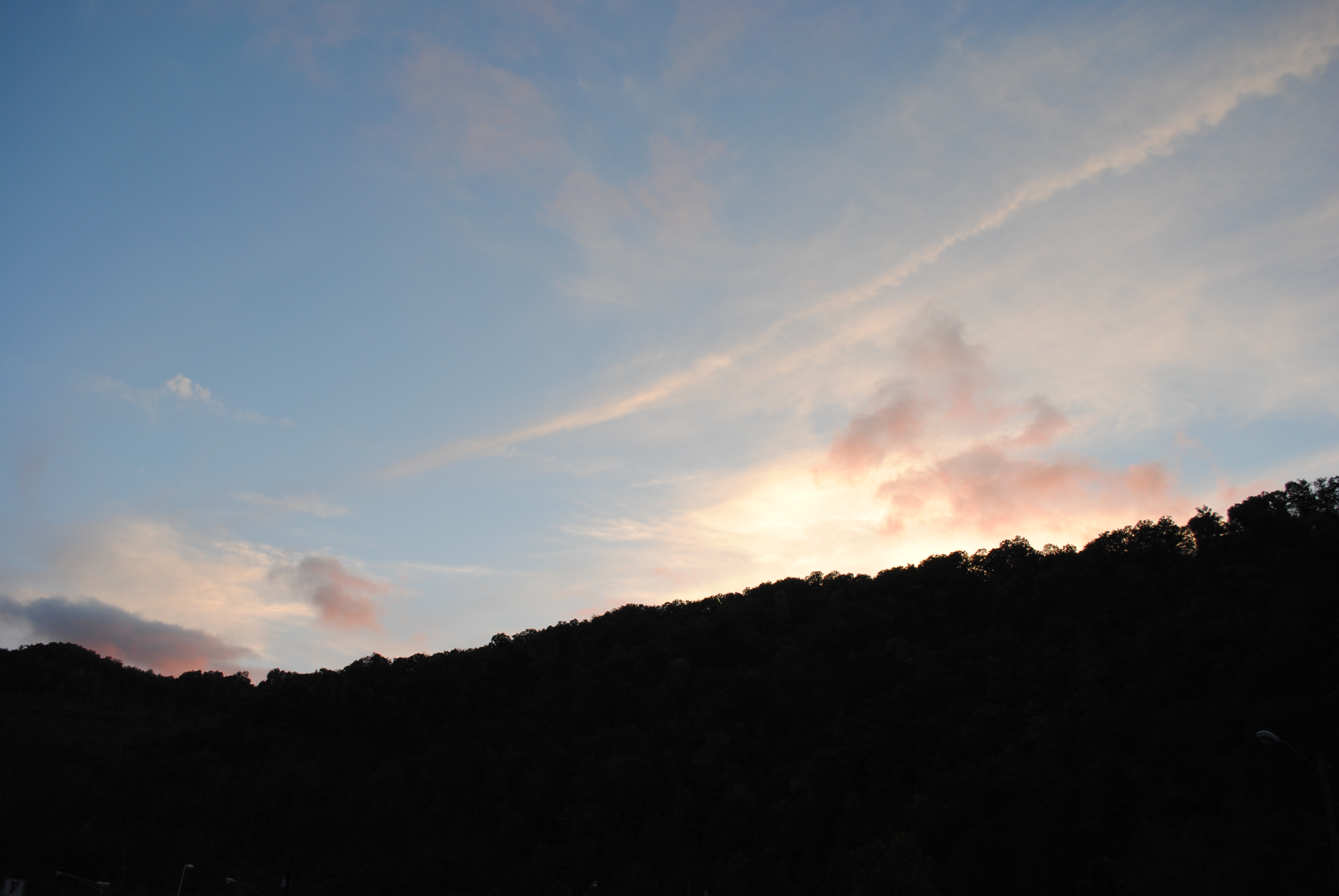
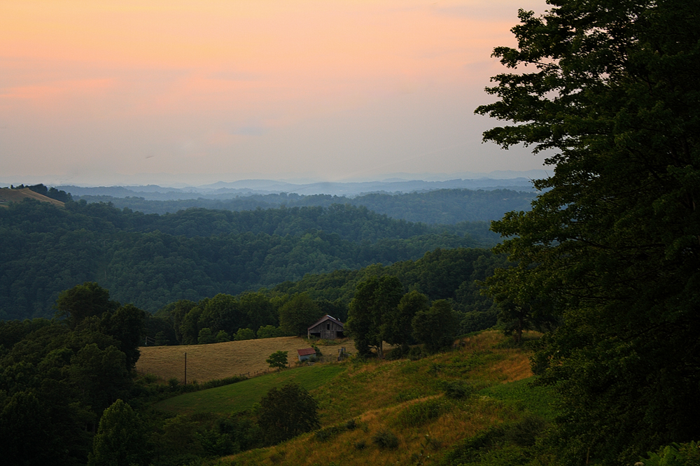
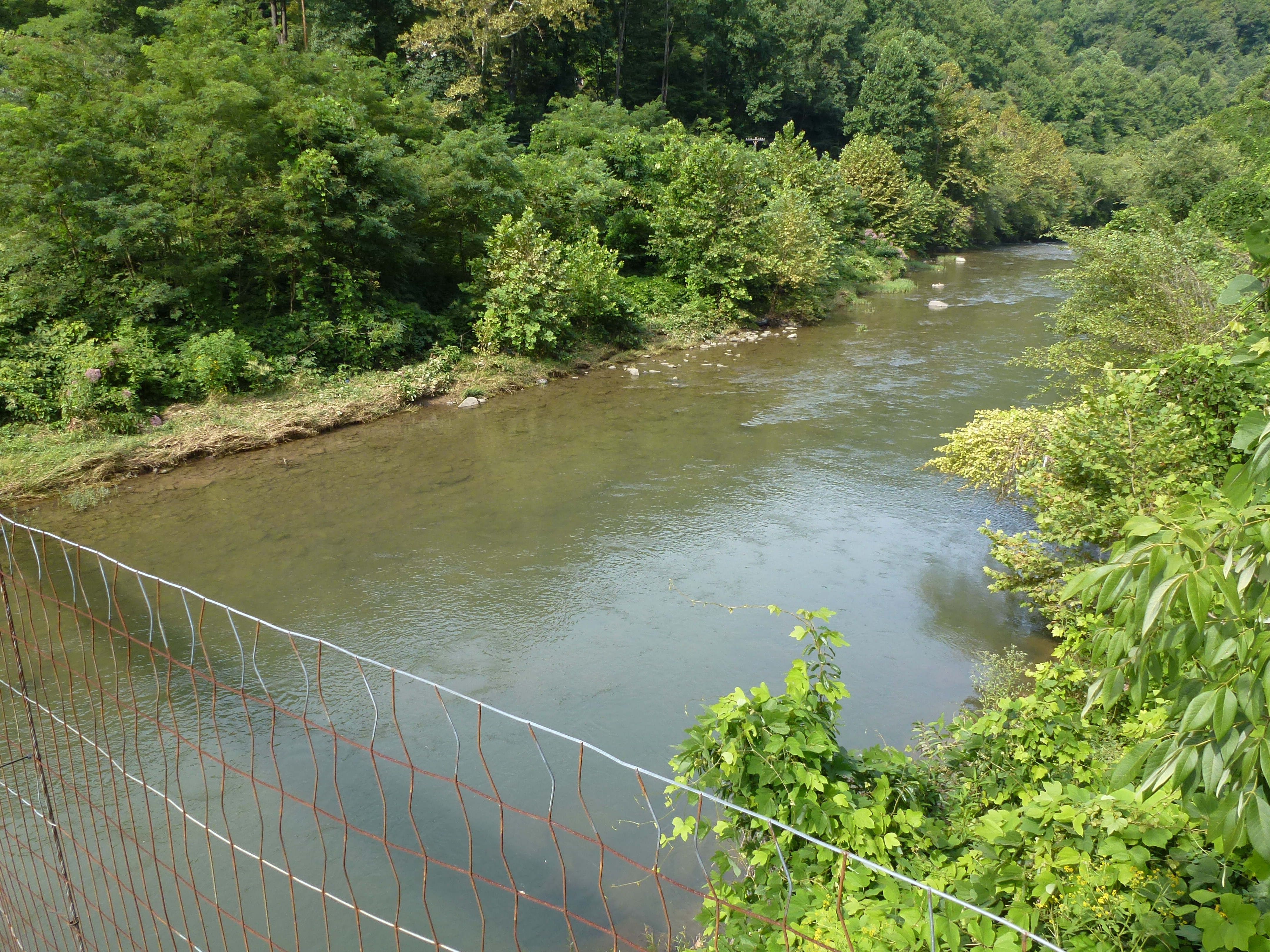
Grundy, Virginia

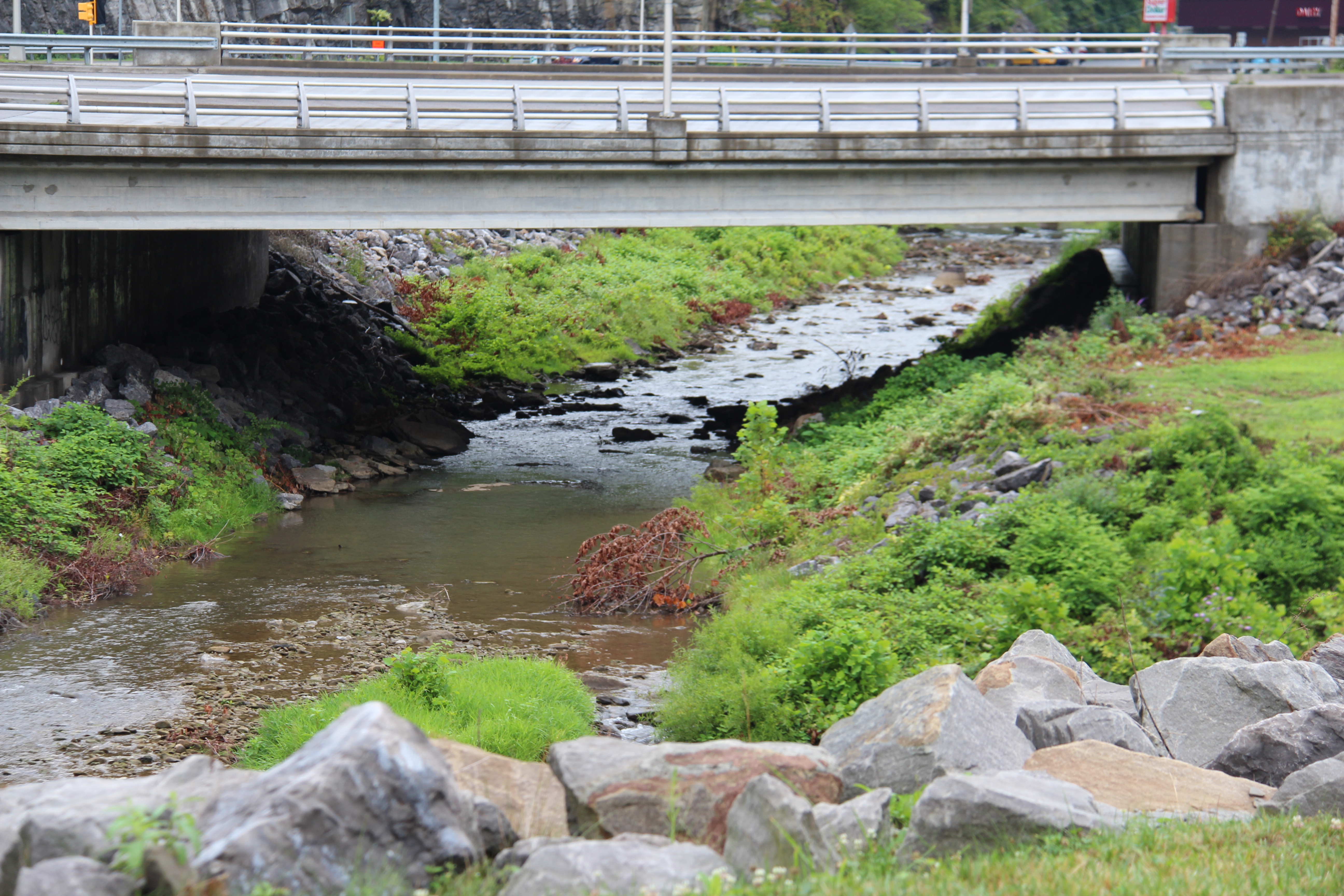
Bridge 564-05
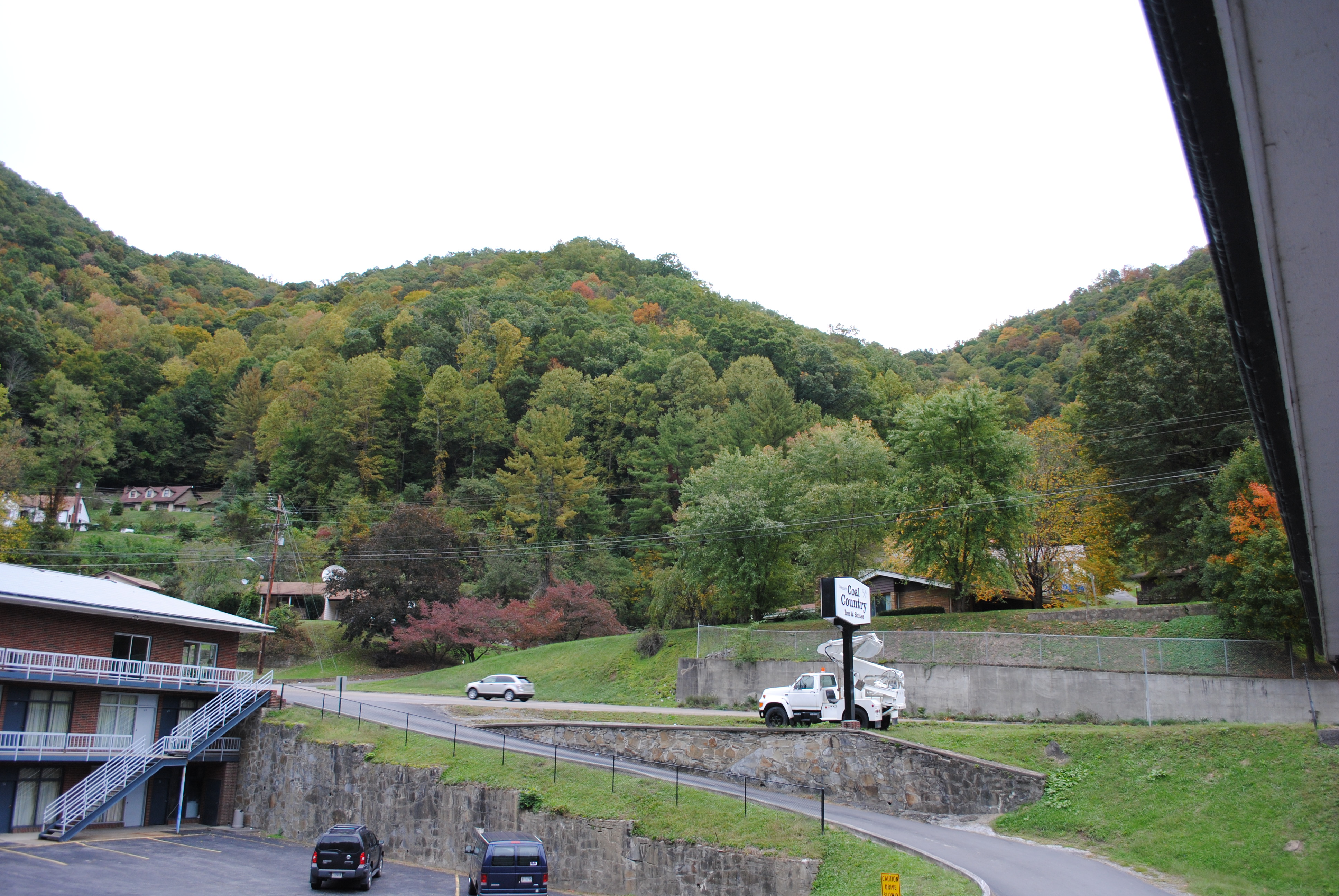
Grundy, Virginia

20081020-152410.jpg
Grundy, Virginia
Grundy, Virginia
One of many cattle ranges on Compton Mountain. Grundy VA
Grundy, Virginia
Grundy, Virginia
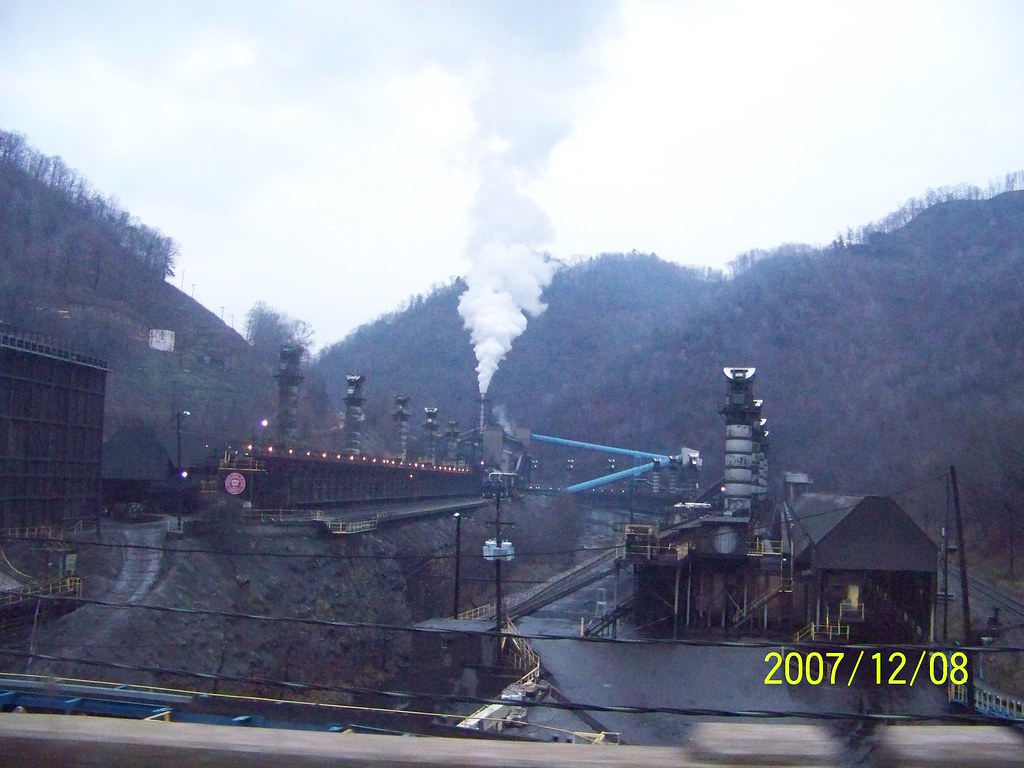
coke oven2
IMG_0214.JPG
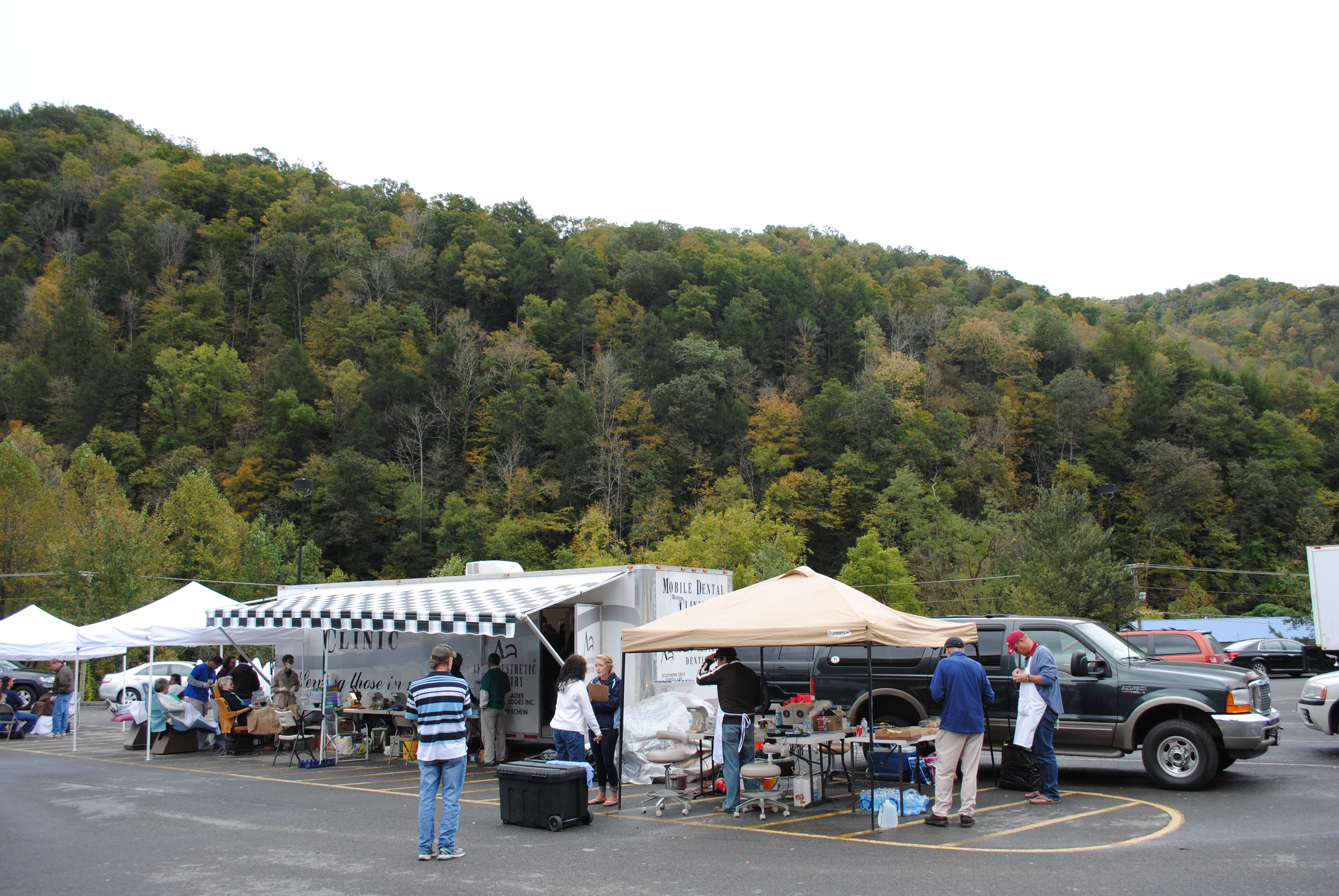
Grundy, Virginia
Grundy, Virginia
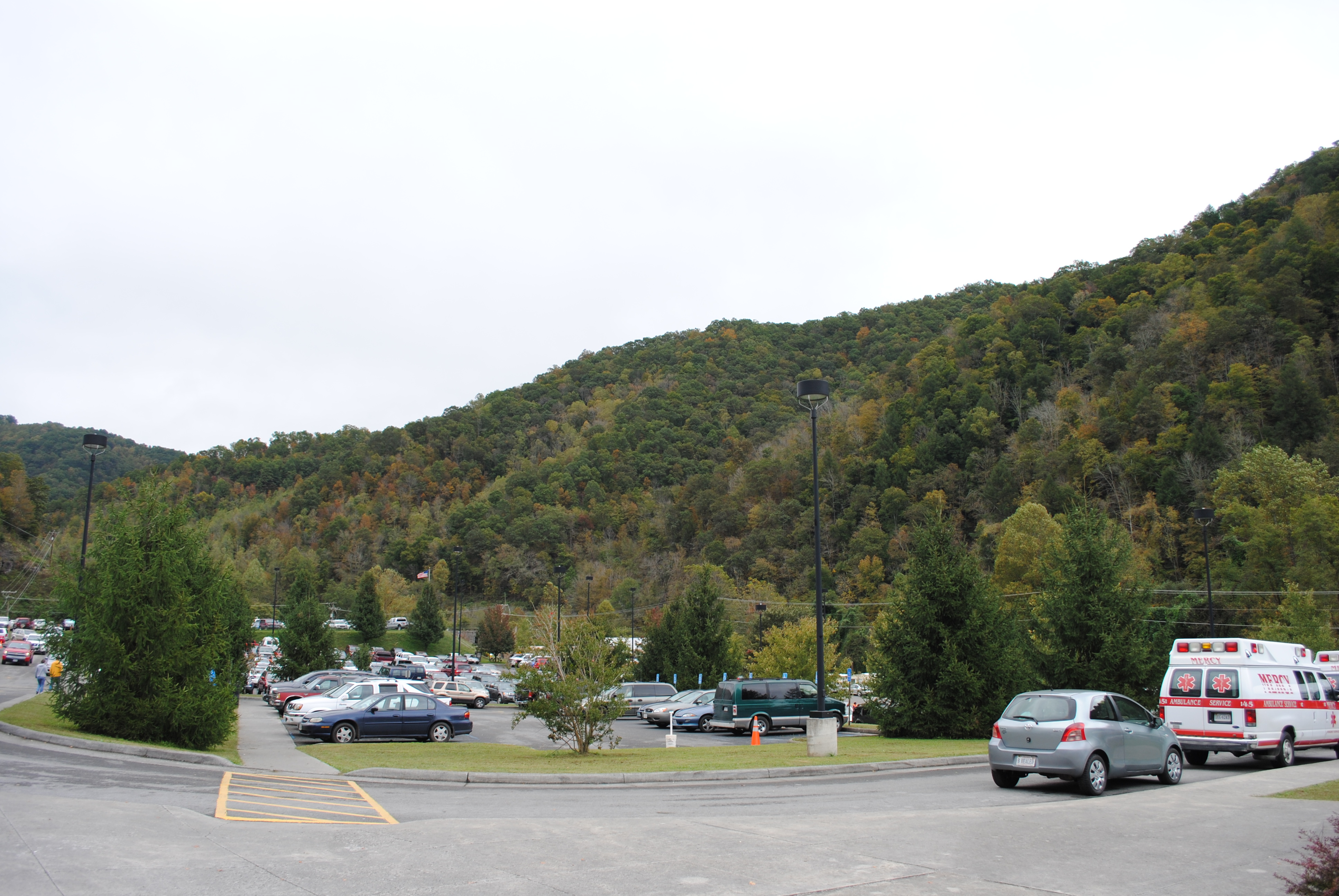
Grundy, Virginia
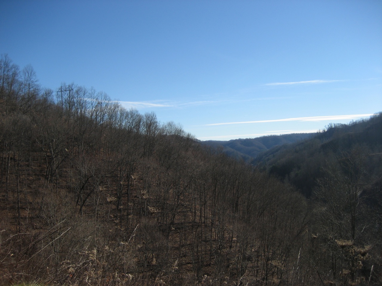
vandyke hollow 2
IMG_0211.JPG
IMG_0213.JPG
P1010004.JPG
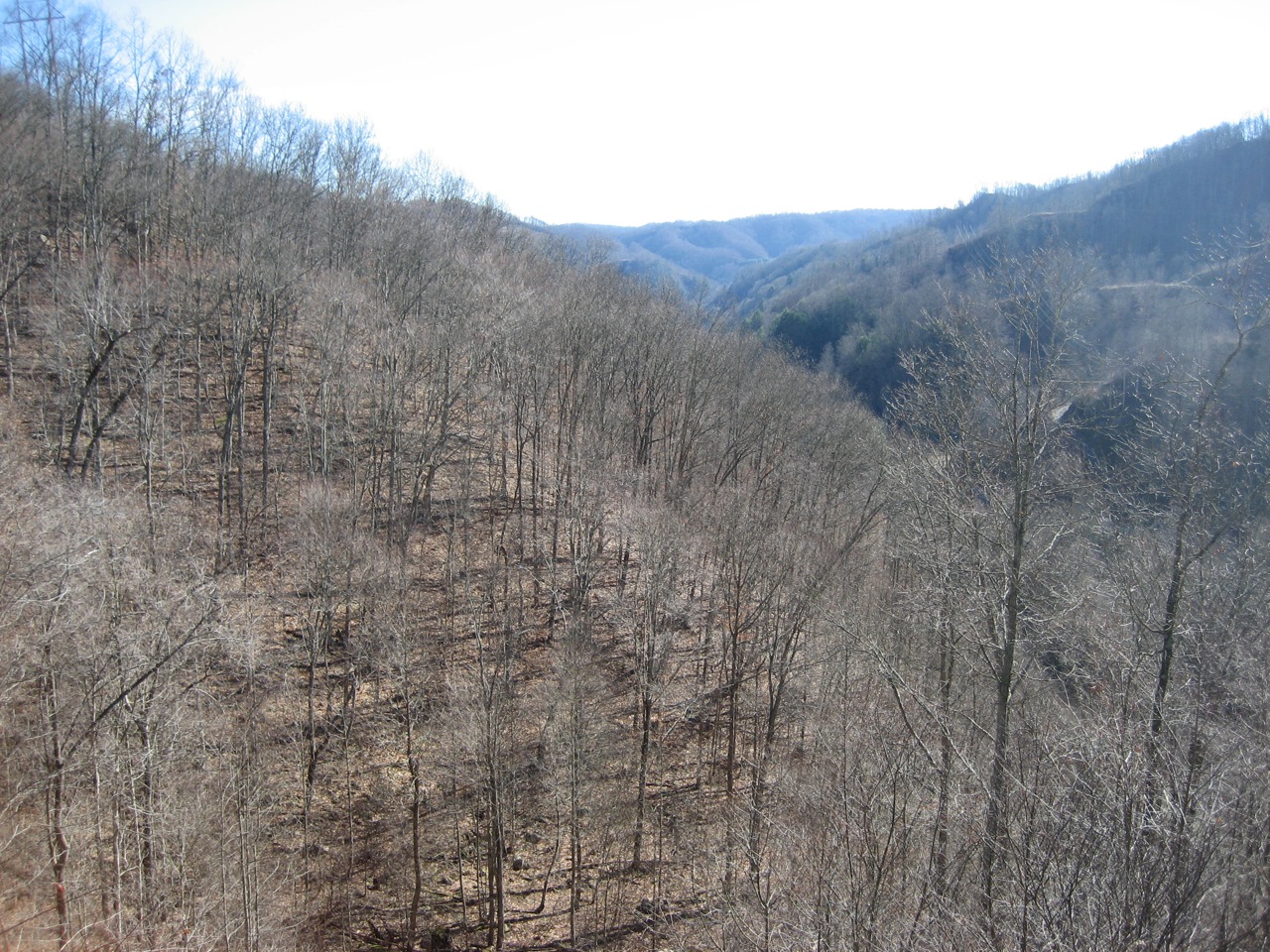
vandyke hollow
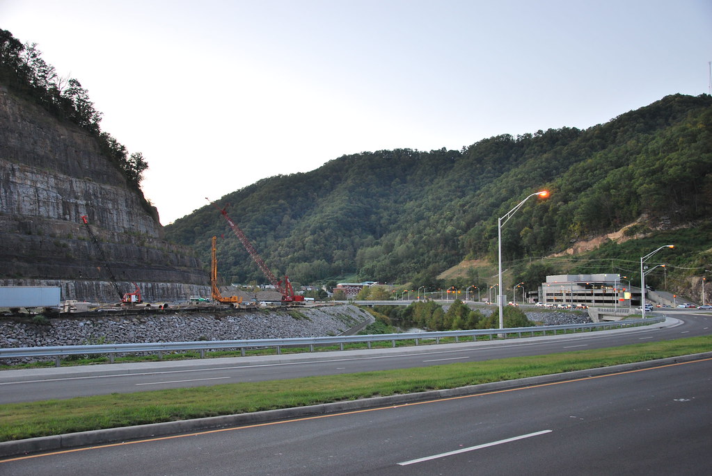
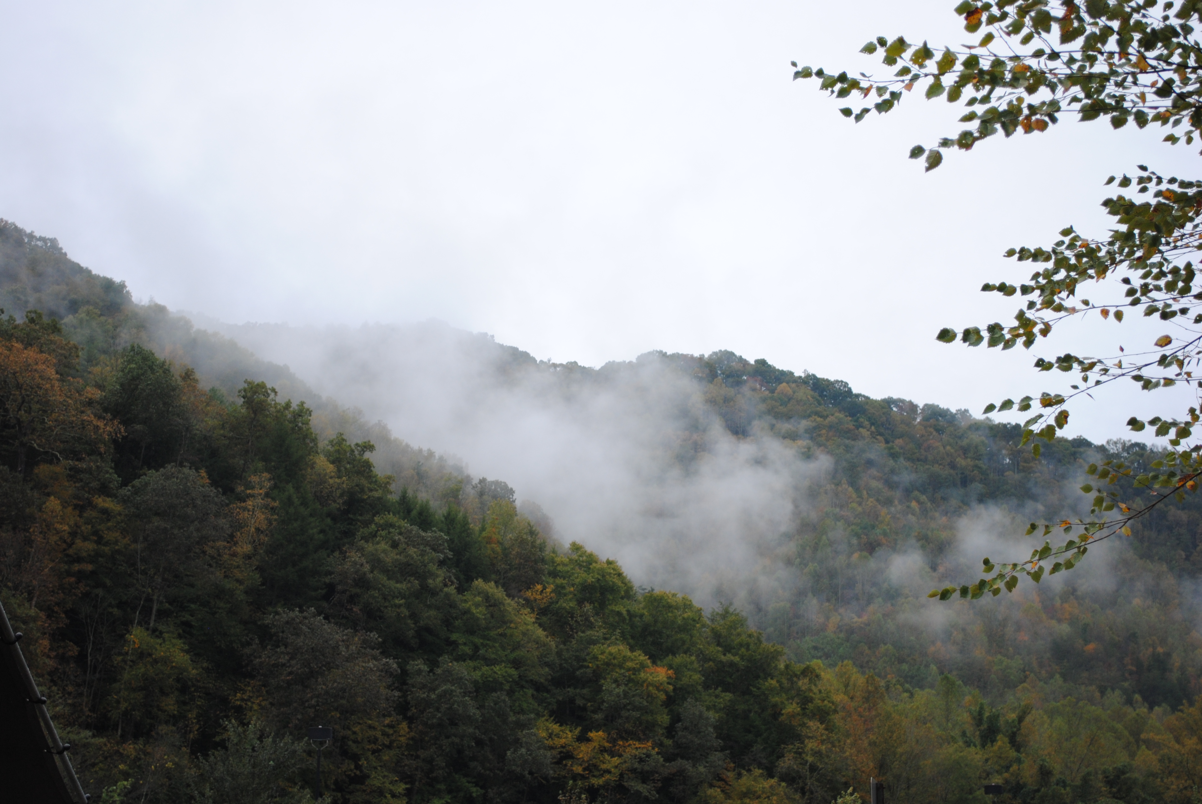
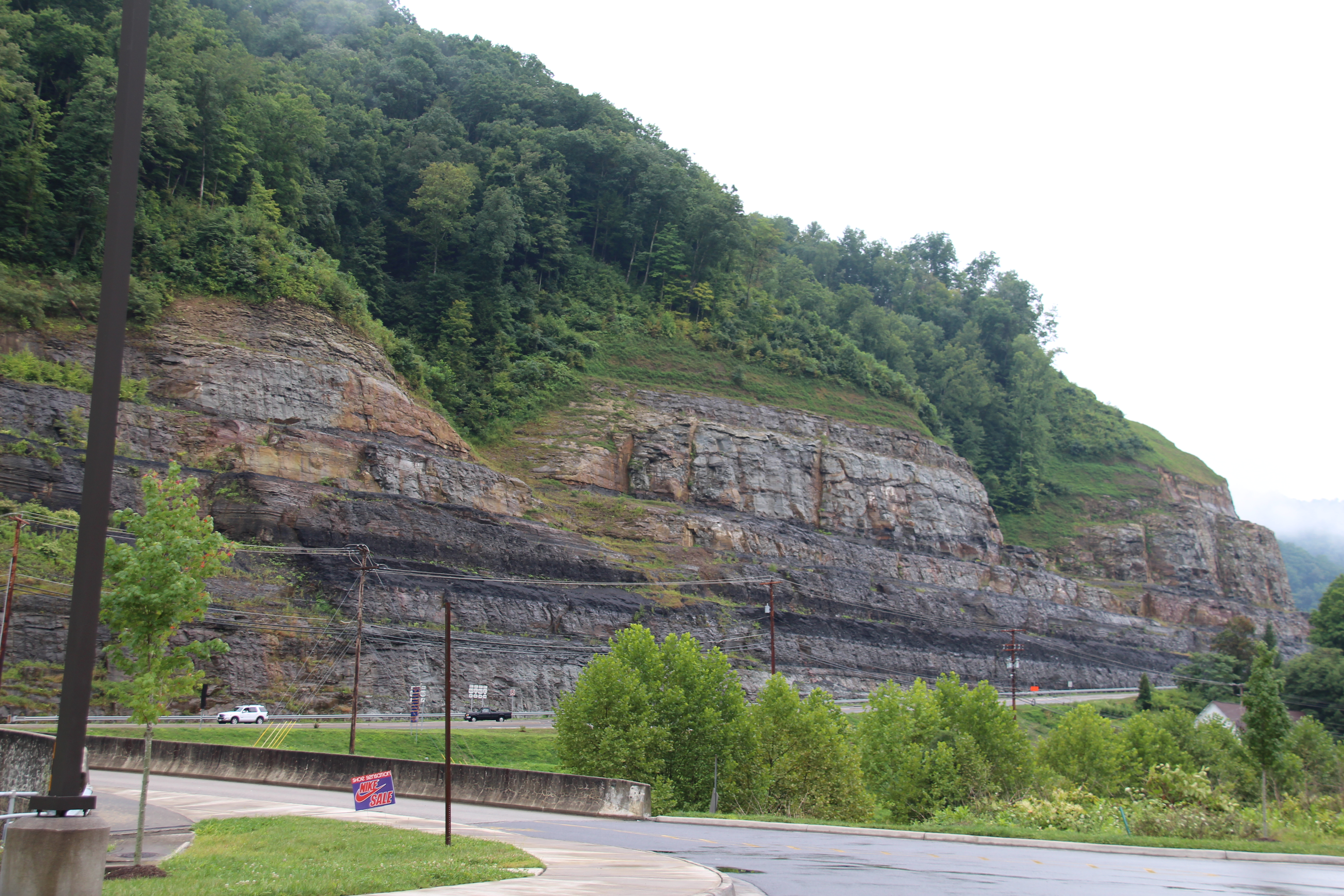
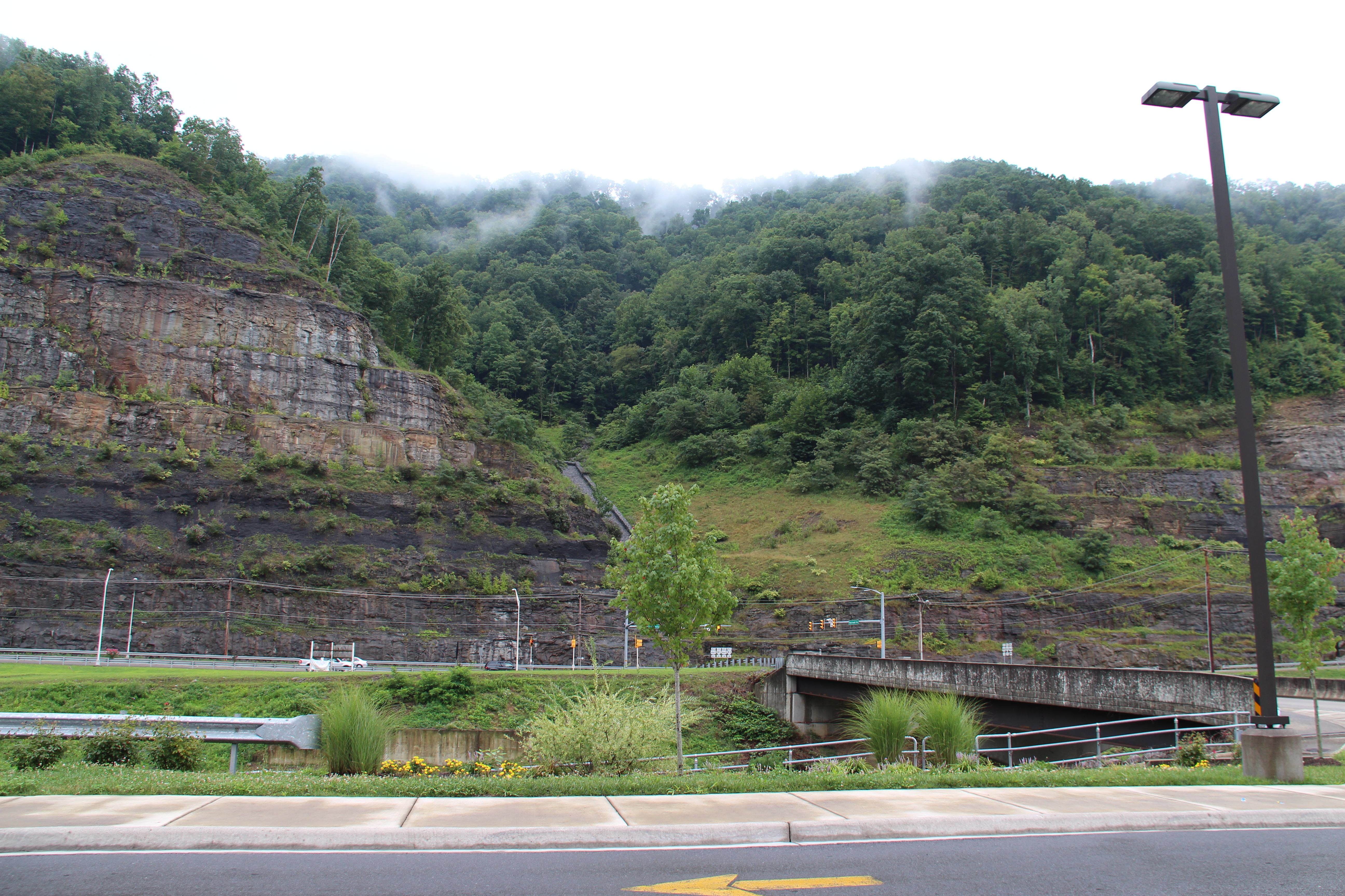
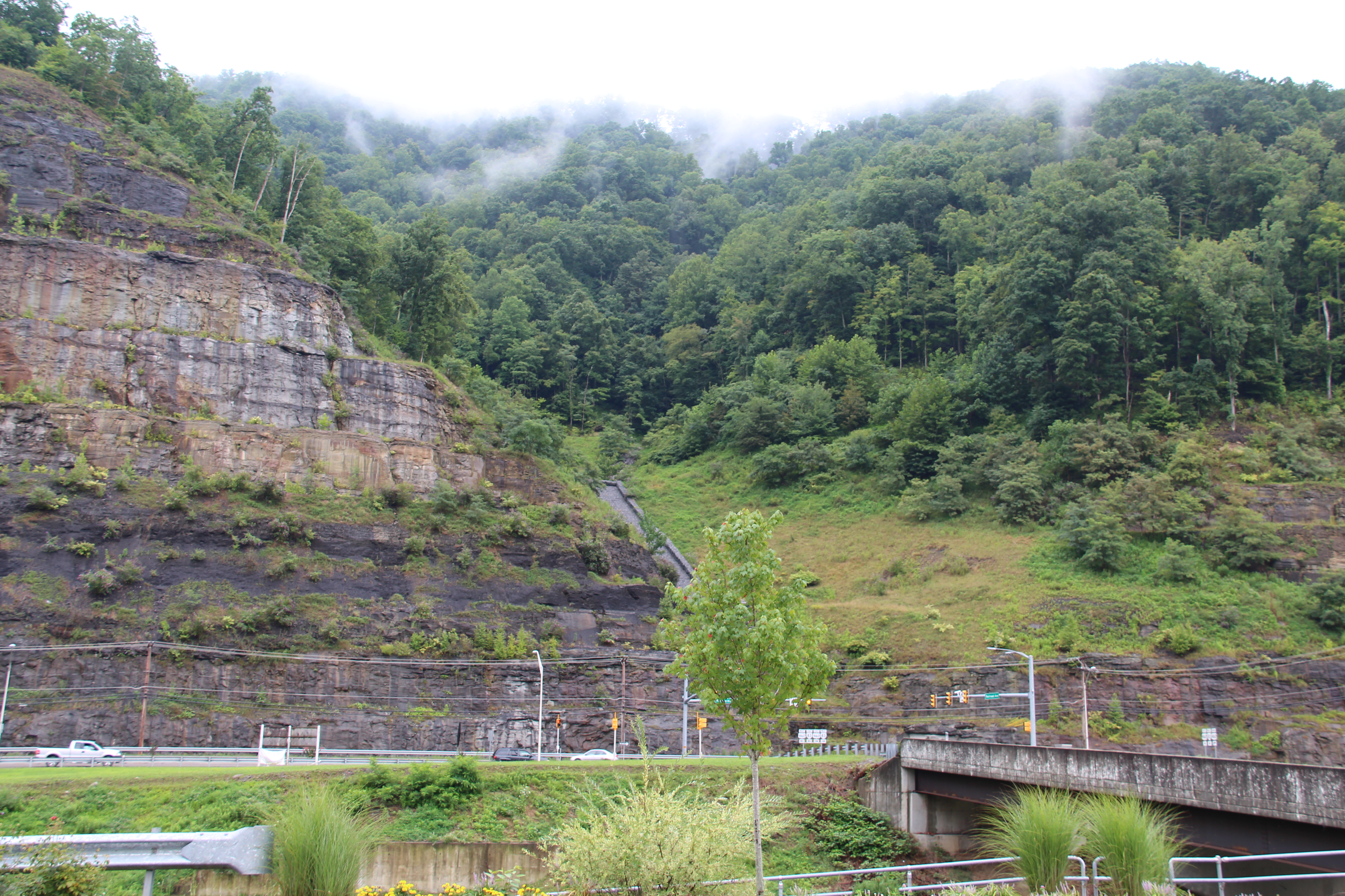
Grundy Cut
IMG_0212.JPG
Topographic Map of VA-, Oakwood, VA, USA
Find elevation by address:

Places near VA-, Oakwood, VA, USA:
Buchanan County
8936 Dismal River Rd
Dragon Road
North Grundy
Oakwood
Booth Branch Road
1742 Booth Branch Rd
1748 Booth Branch Rd
1834 Booth Branch Rd
1535 Slate Creek Rd
1589 Slate Creek Rd
Twin Valley High School
South Grundy
Pilgrim's Knob
Garden
Grundy
1301 Charles Rd
Vansant
Grundy Funeral Home
22006 Riverside Dr
Recent Searches:
- Elevation map of Greenland, Greenland
- Elevation of Sullivan Hill, New York, New York, 10002, USA
- Elevation of Morehead Road, Withrow Downs, Charlotte, Mecklenburg County, North Carolina, 28262, USA
- Elevation of 2800, Morehead Road, Withrow Downs, Charlotte, Mecklenburg County, North Carolina, 28262, USA
- Elevation of Yangbi Yi Autonomous County, Yunnan, China
- Elevation of Pingpo, Yangbi Yi Autonomous County, Yunnan, China
- Elevation of Mount Malong, Pingpo, Yangbi Yi Autonomous County, Yunnan, China
- Elevation map of Yongping County, Yunnan, China
- Elevation of North 8th Street, Palatka, Putnam County, Florida, 32177, USA
- Elevation of 107, Big Apple Road, East Palatka, Putnam County, Florida, 32131, USA
- Elevation of Jiezi, Chongzhou City, Sichuan, China
- Elevation of Chongzhou City, Sichuan, China
- Elevation of Huaiyuan, Chongzhou City, Sichuan, China
- Elevation of Qingxia, Chengdu, Sichuan, China
- Elevation of Corso Fratelli Cairoli, 35, Macerata MC, Italy
- Elevation of Tallevast Rd, Sarasota, FL, USA
- Elevation of 4th St E, Sonoma, CA, USA
- Elevation of Black Hollow Rd, Pennsdale, PA, USA
- Elevation of Oakland Ave, Williamsport, PA, USA
- Elevation of Pedrógão Grande, Portugal