Elevation of Grundy, VA, USA
Location: United States > Virginia > Buchanan County > South Grundy >
Longitude: -82.099022
Latitude: 37.2778886
Elevation: 321m / 1053feet
Barometric Pressure: 98KPa
Elevation Map:
Satellite Map:
Related Photos:
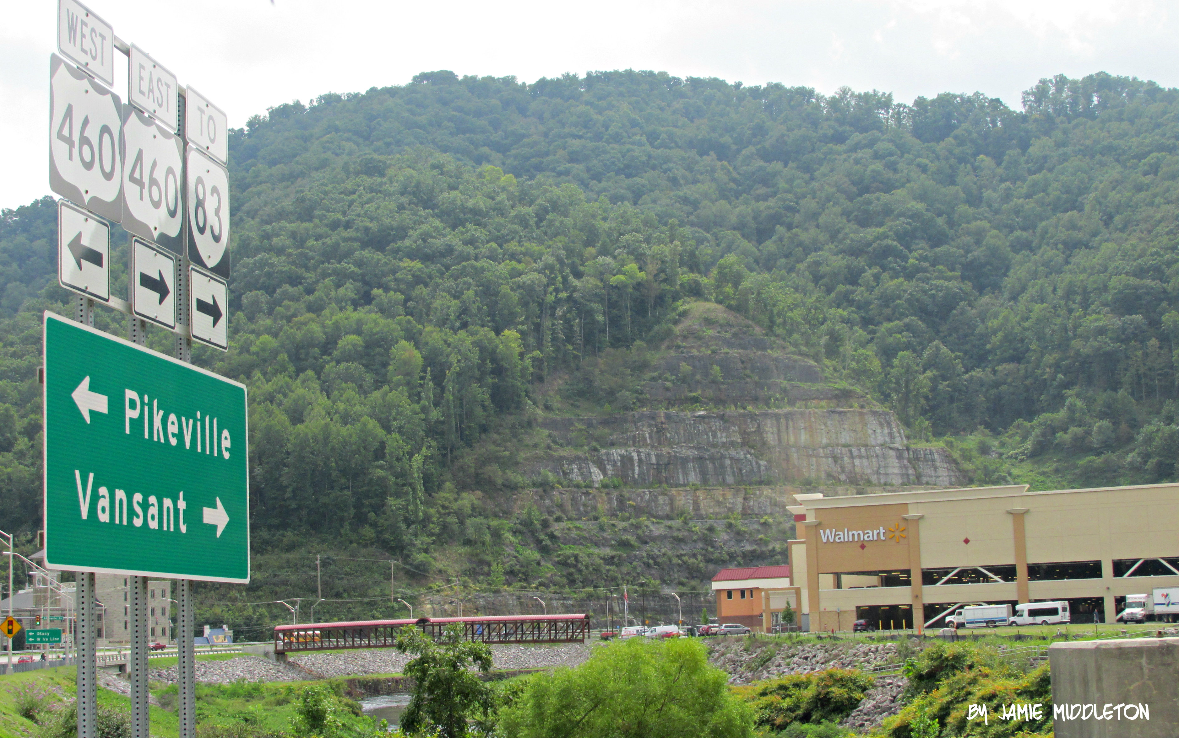
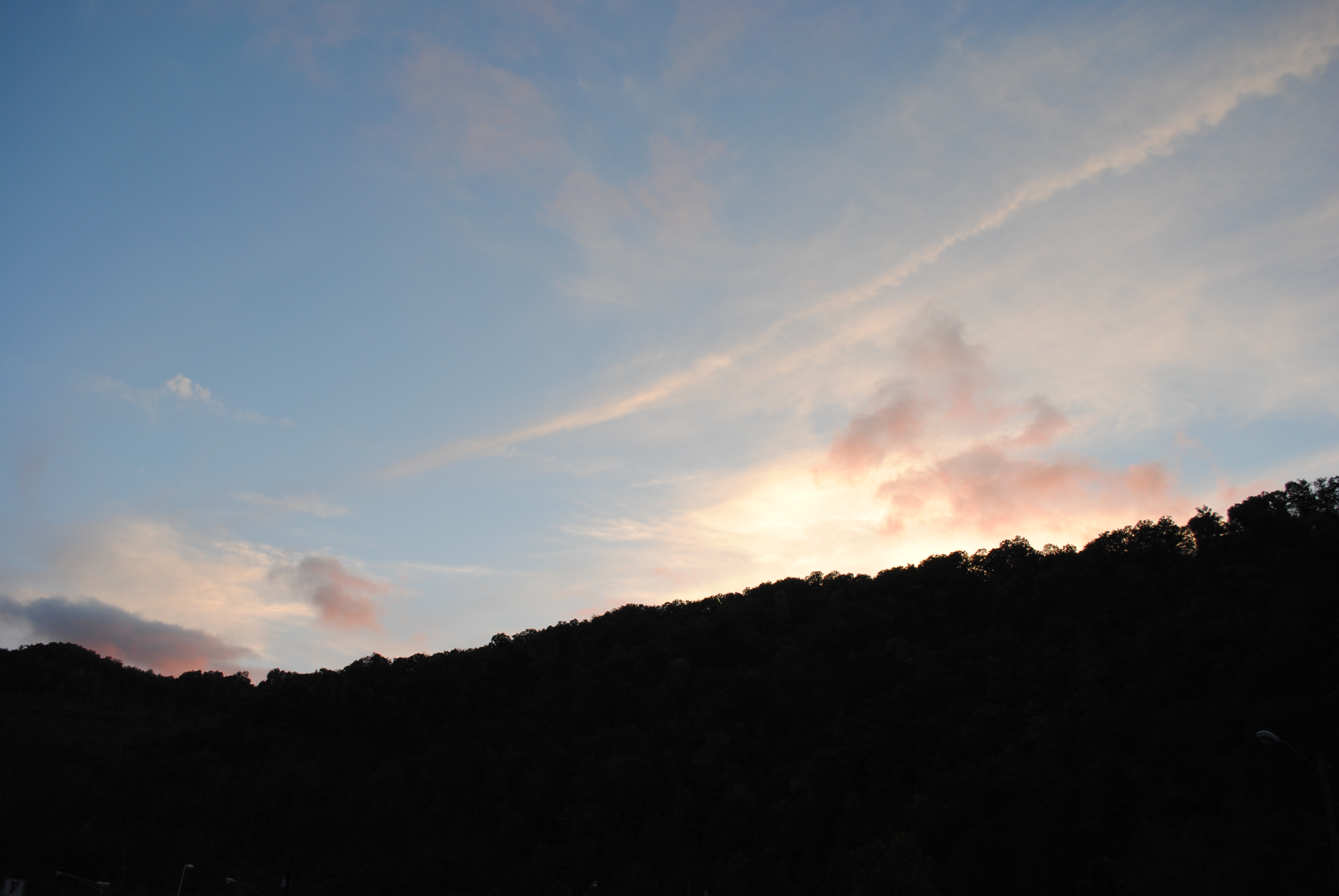
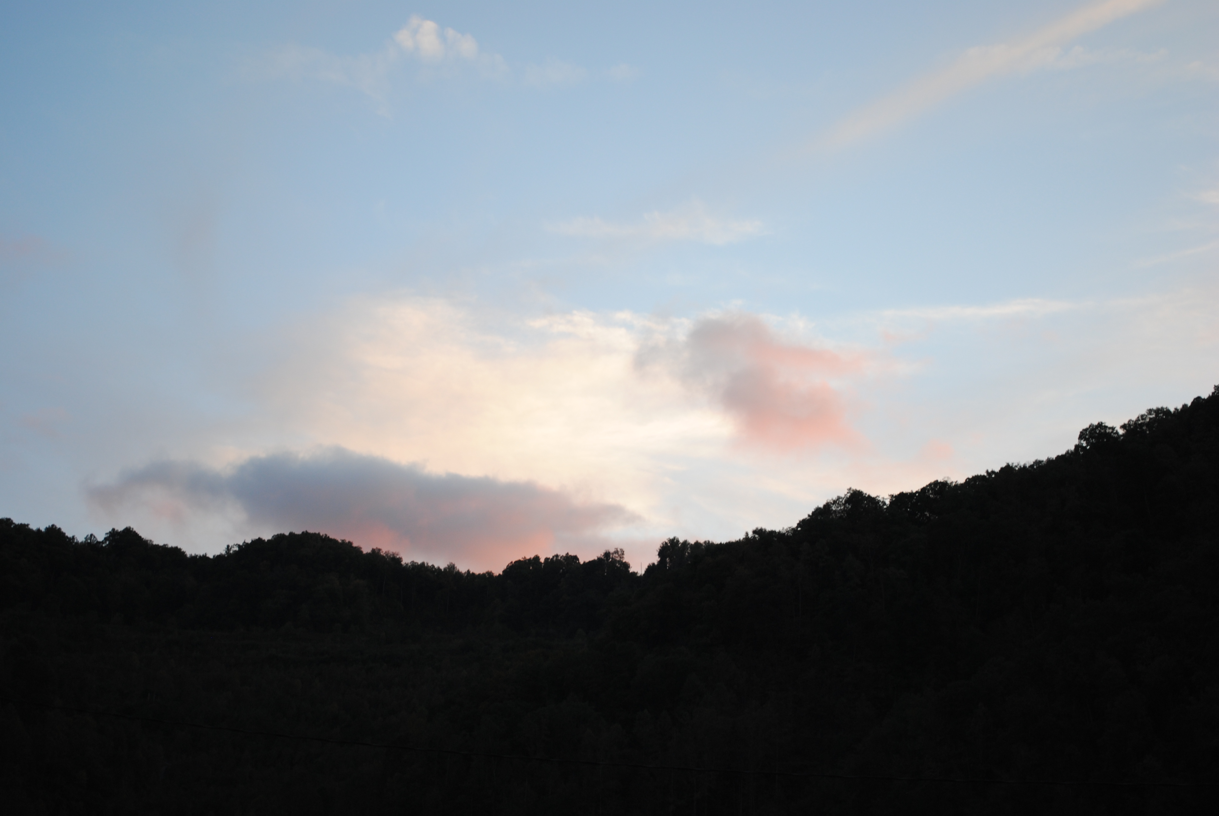
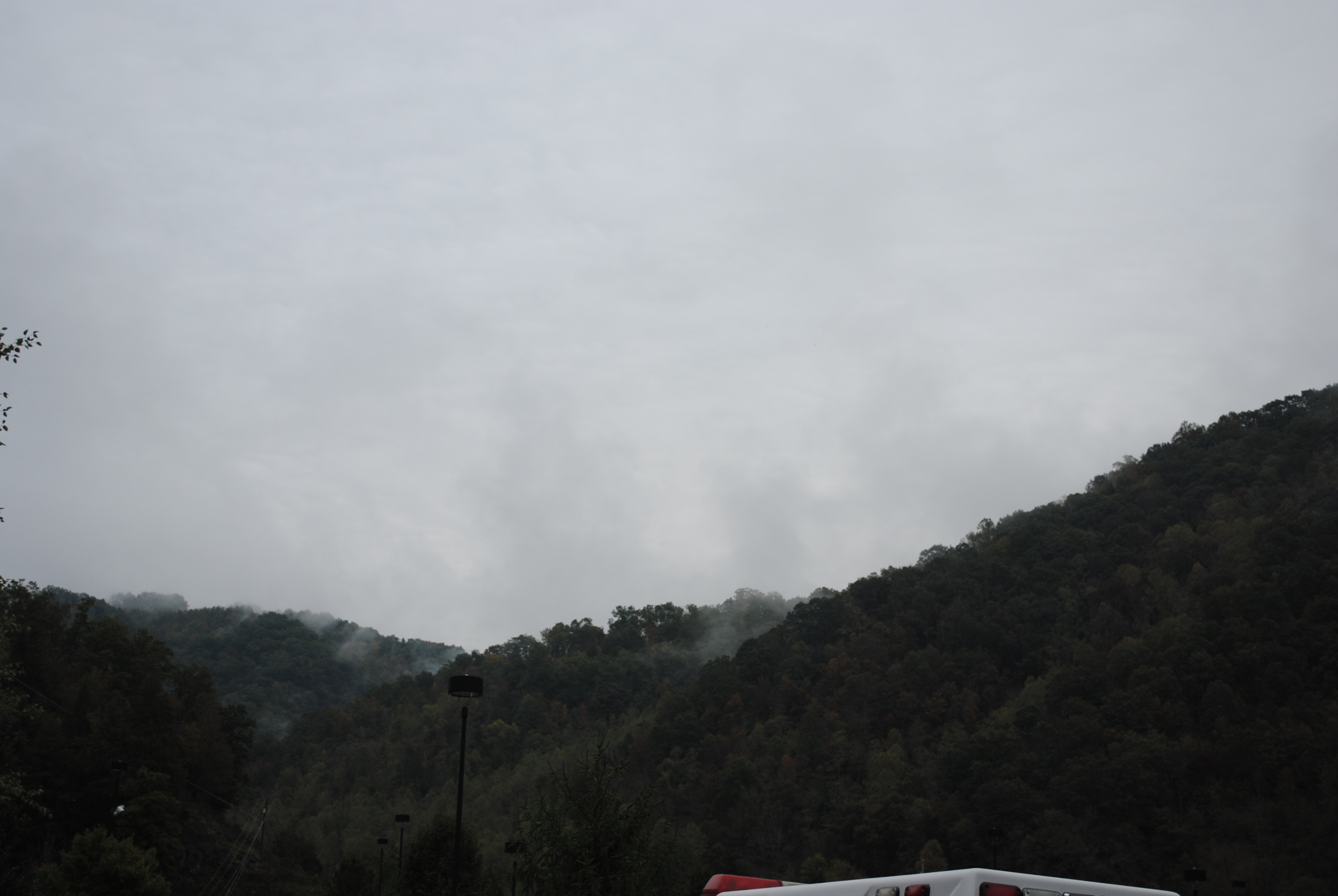
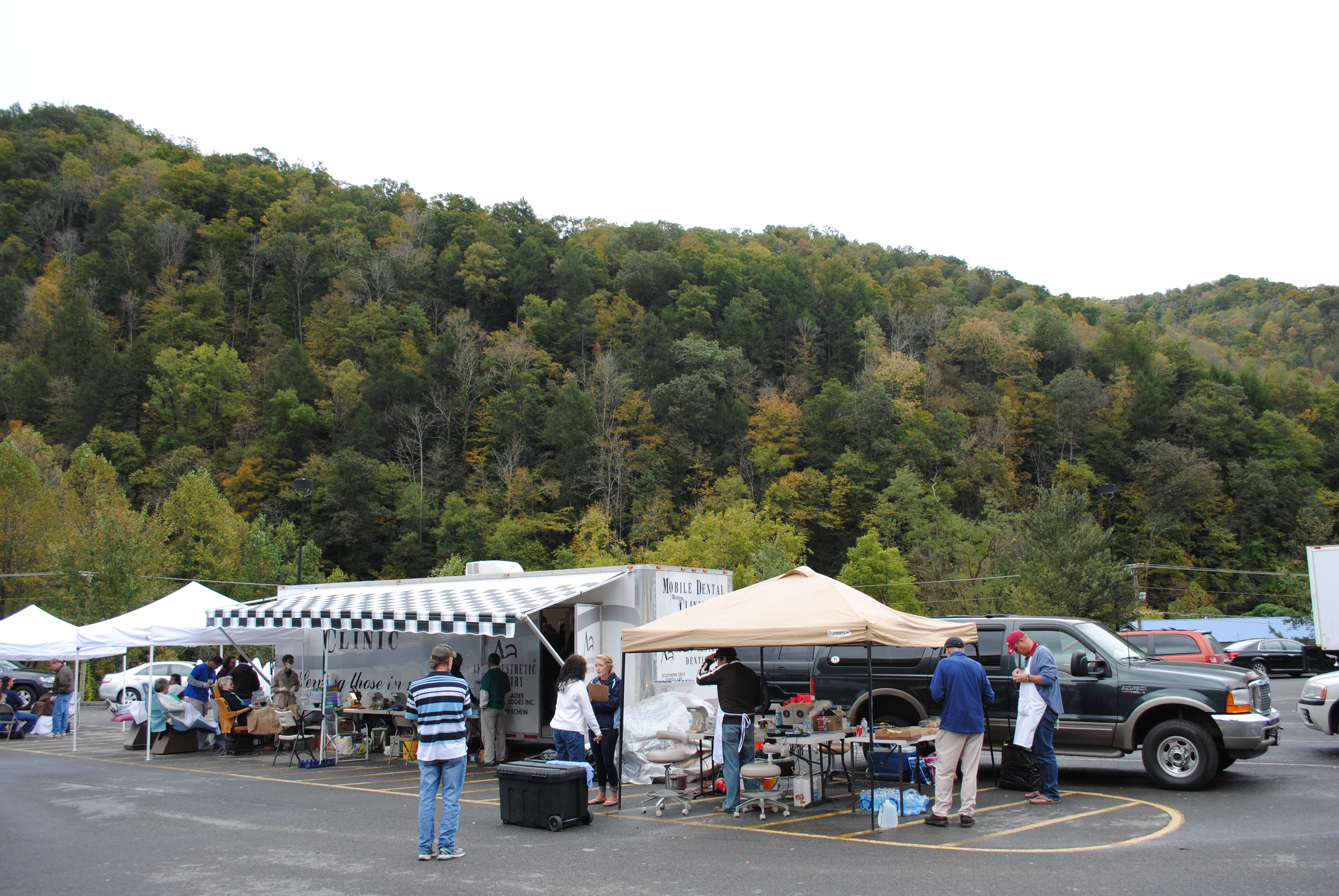
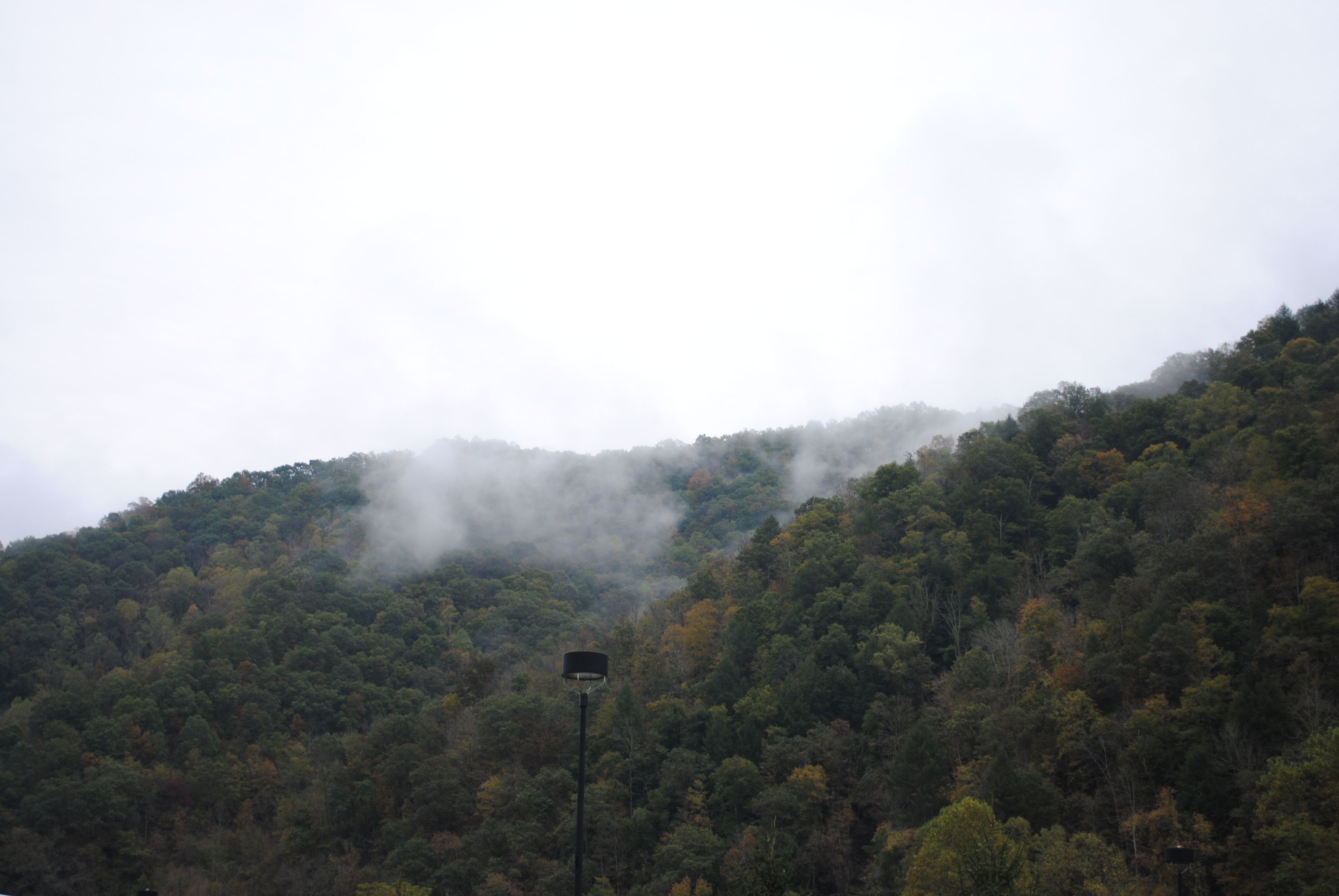
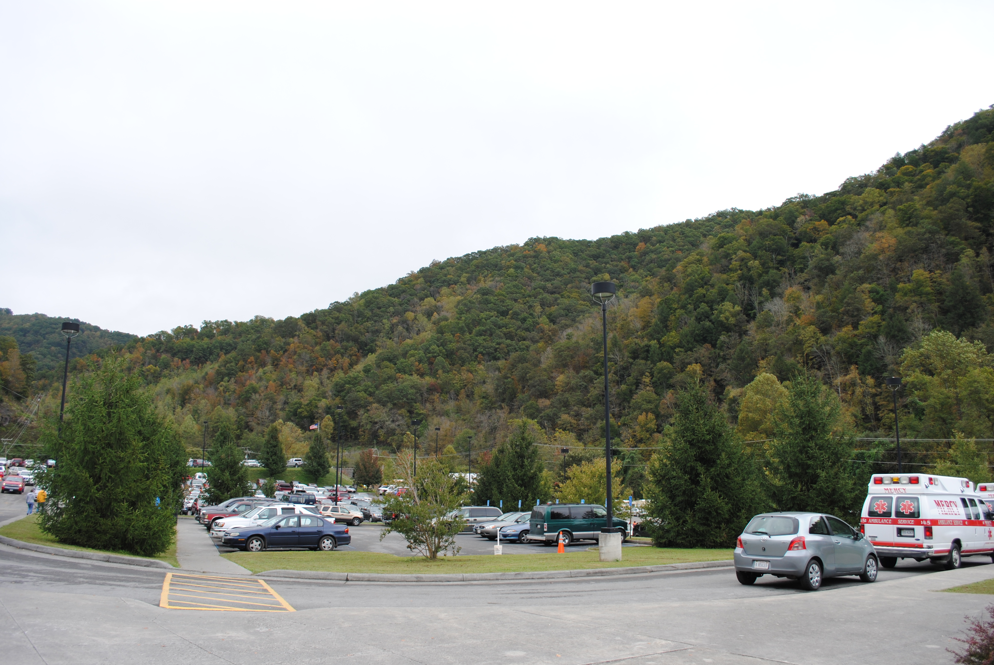
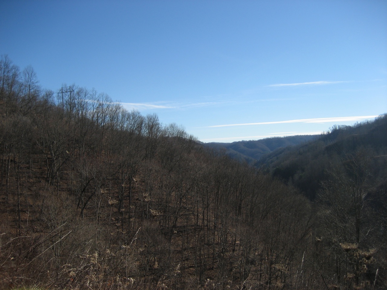
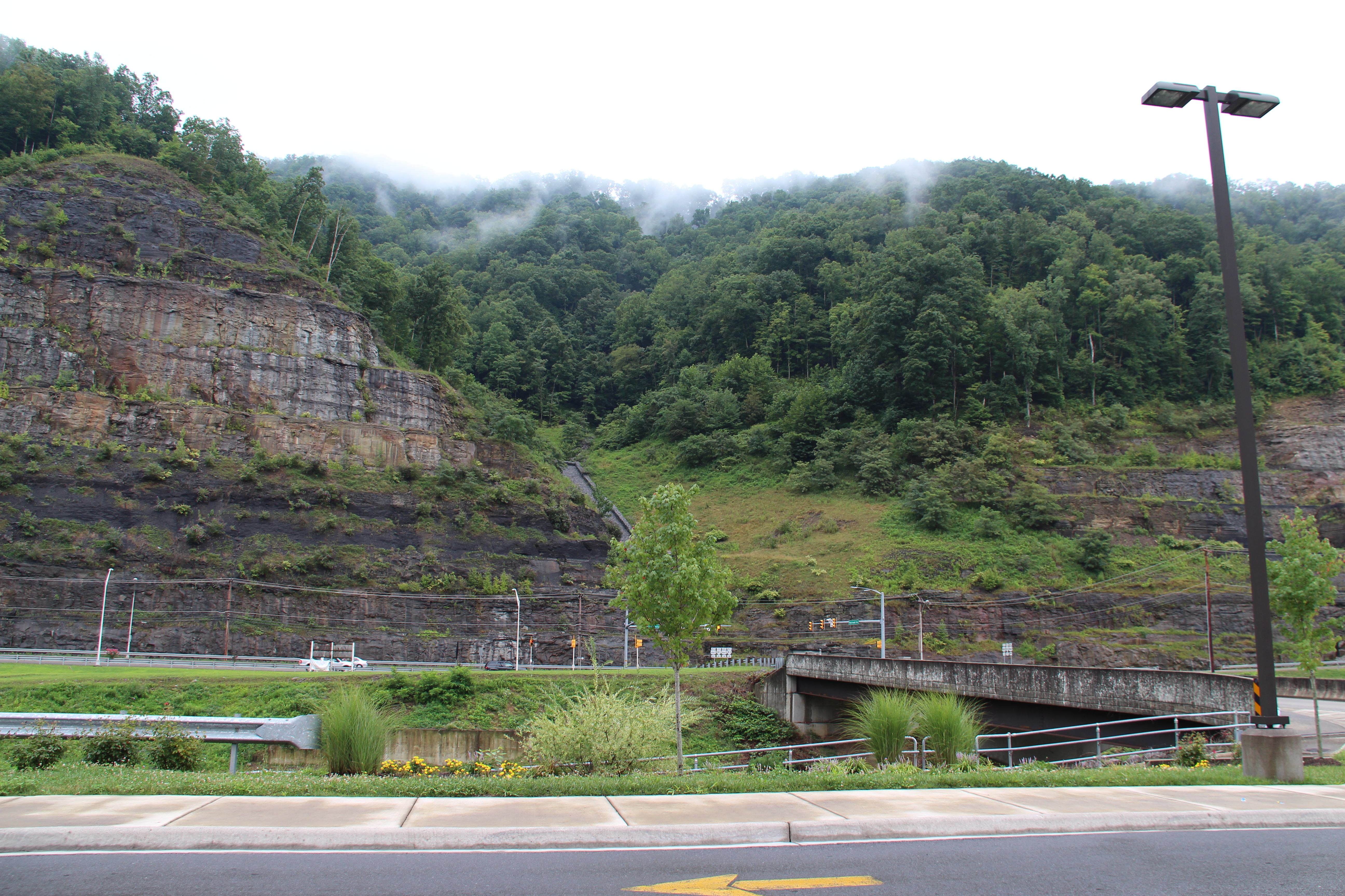
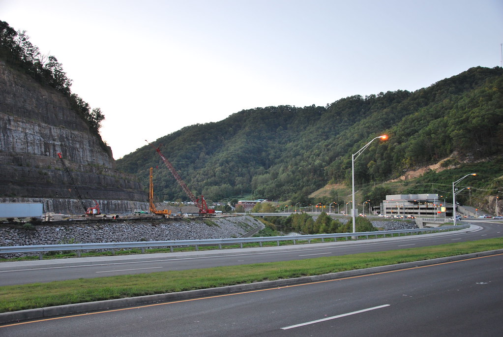
Grundy, Virginia

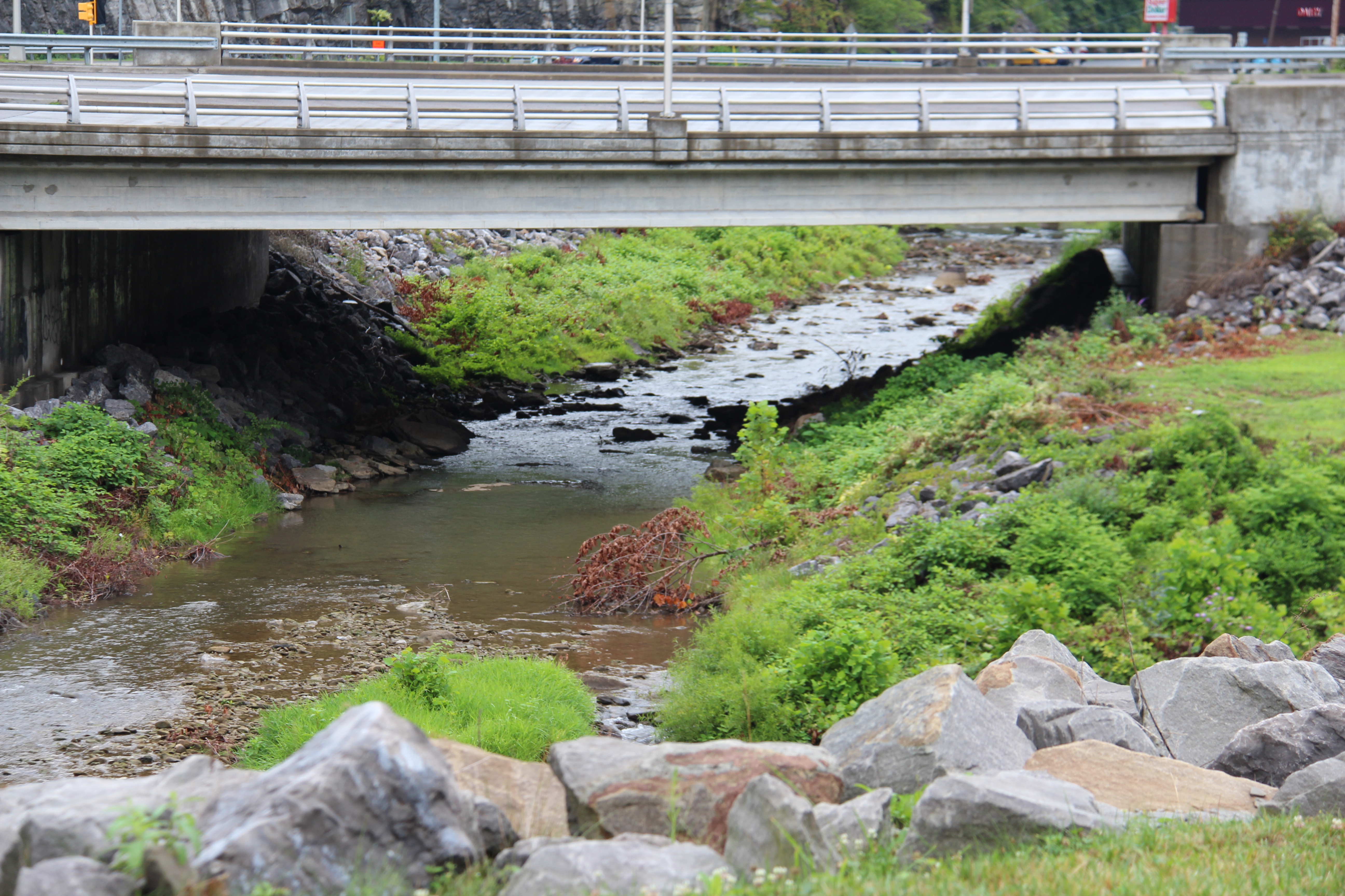
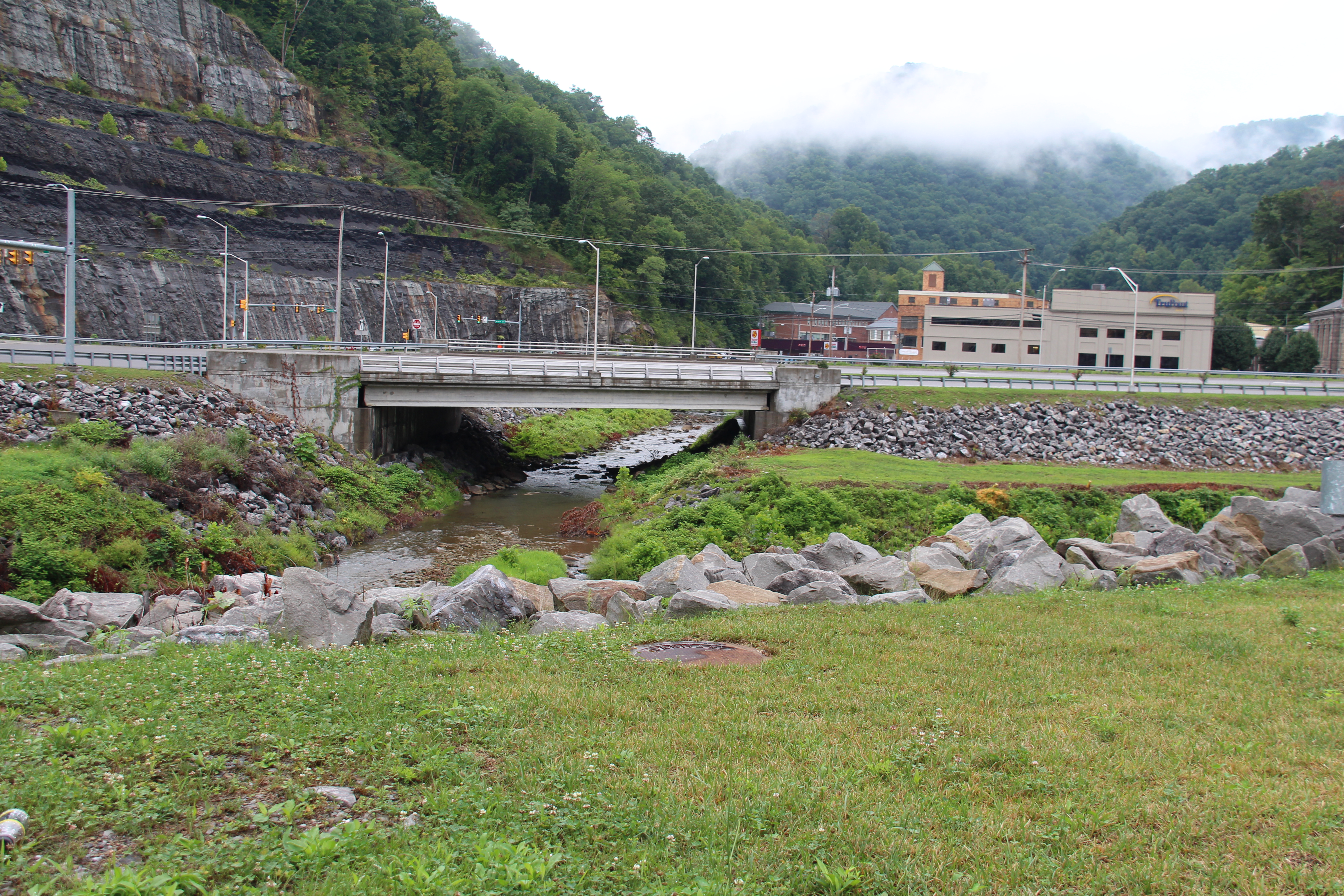
Bridge 564-05
Grundy, Virginia
Grundy, Virginia
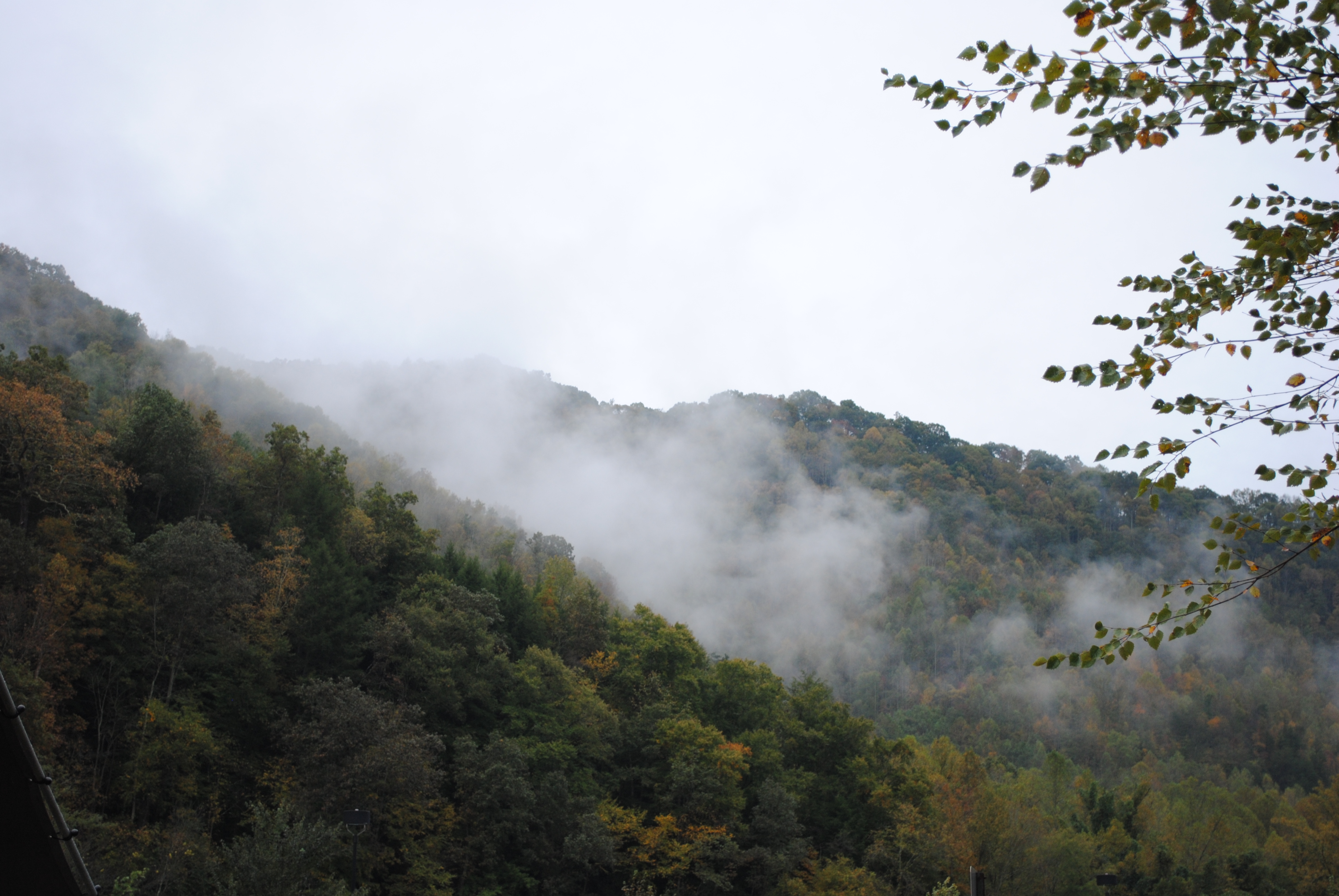
Grundy, Virginia
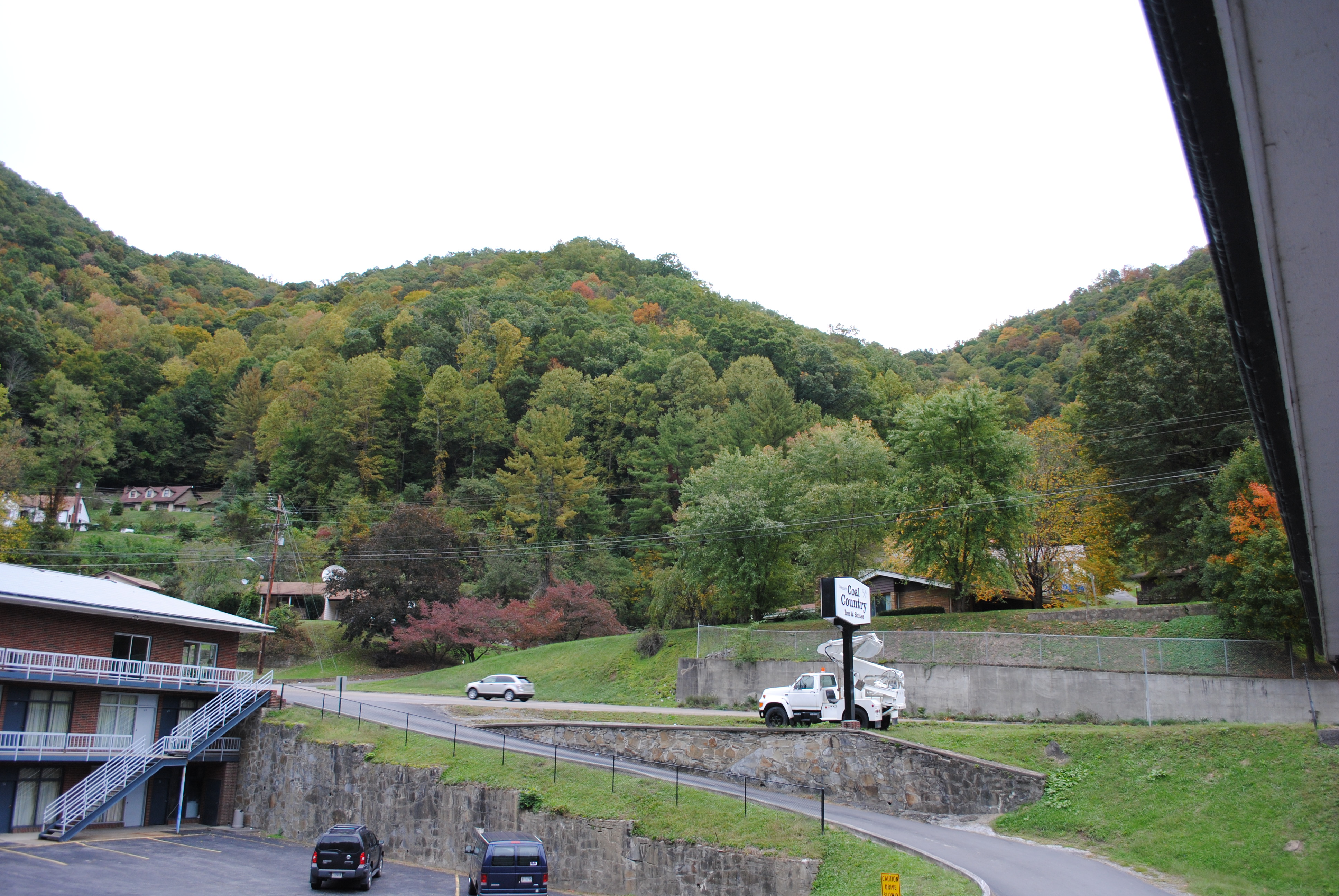
Grundy, Virginia
Grundy, Virginia
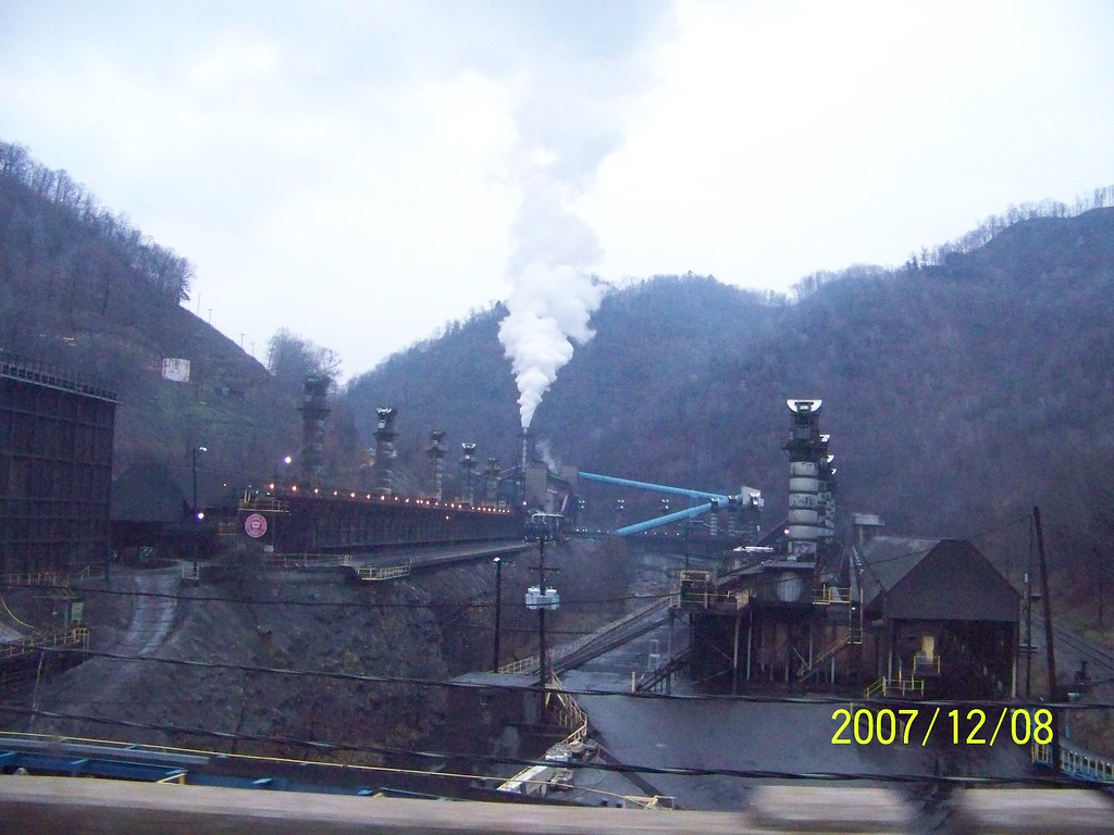
coke oven2
IMG_0214.JPG
Grundy, Virginia
Grundy, Virginia
Grundy, Virginia
vandyke hollow 2
IMG_0211.JPG
IMG_0213.JPG
P1010004.JPG
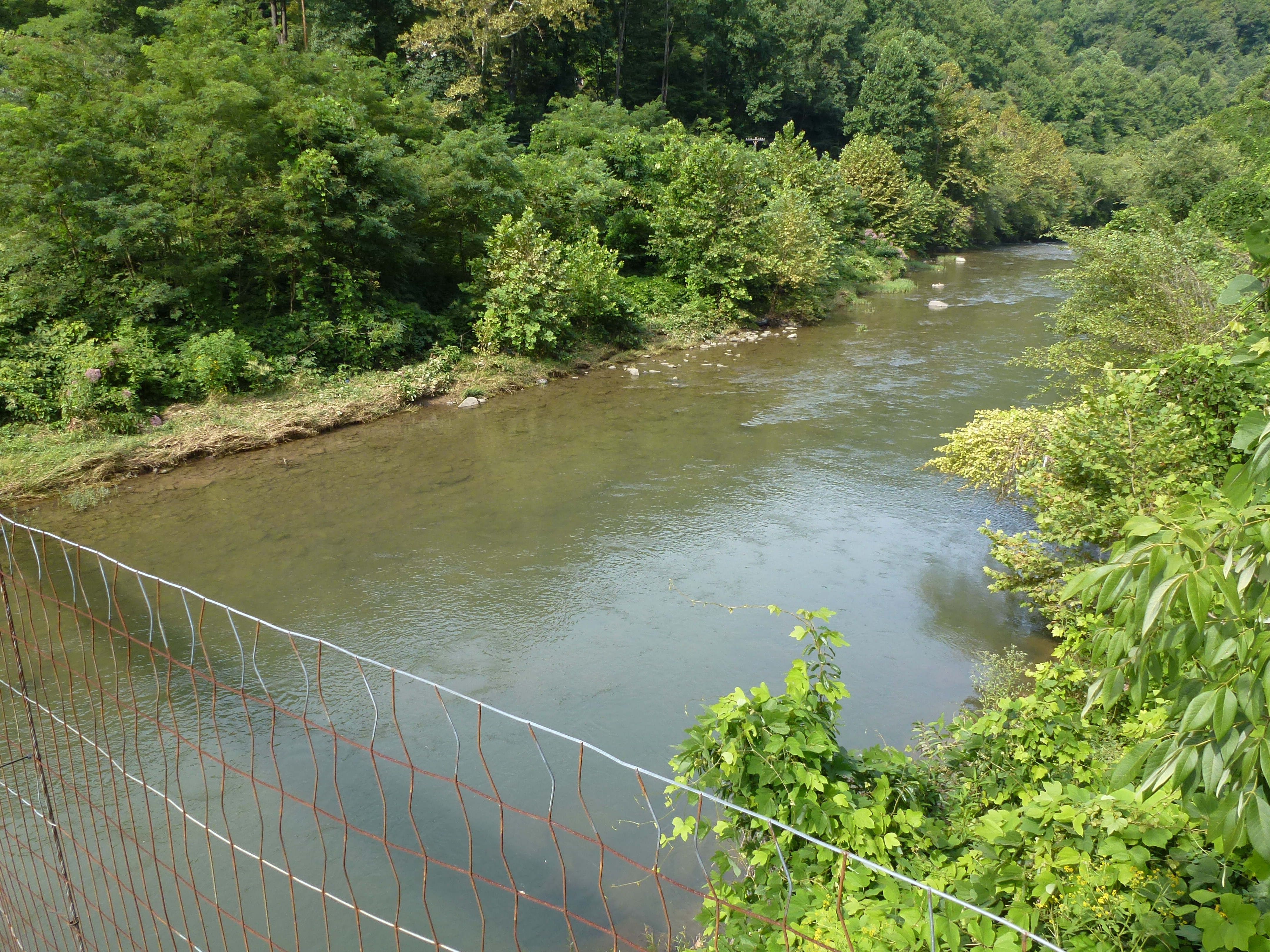
vandyke hollow
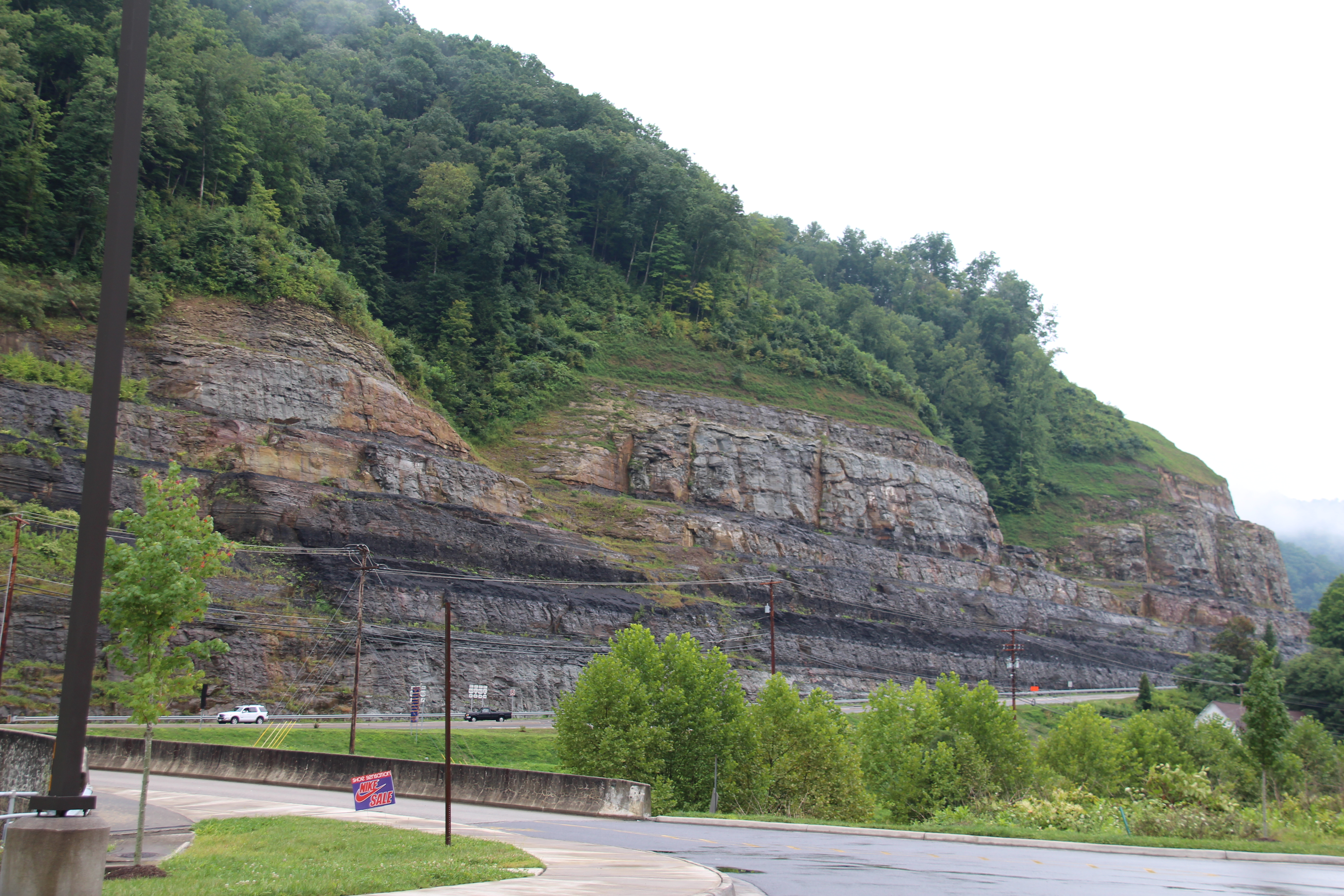
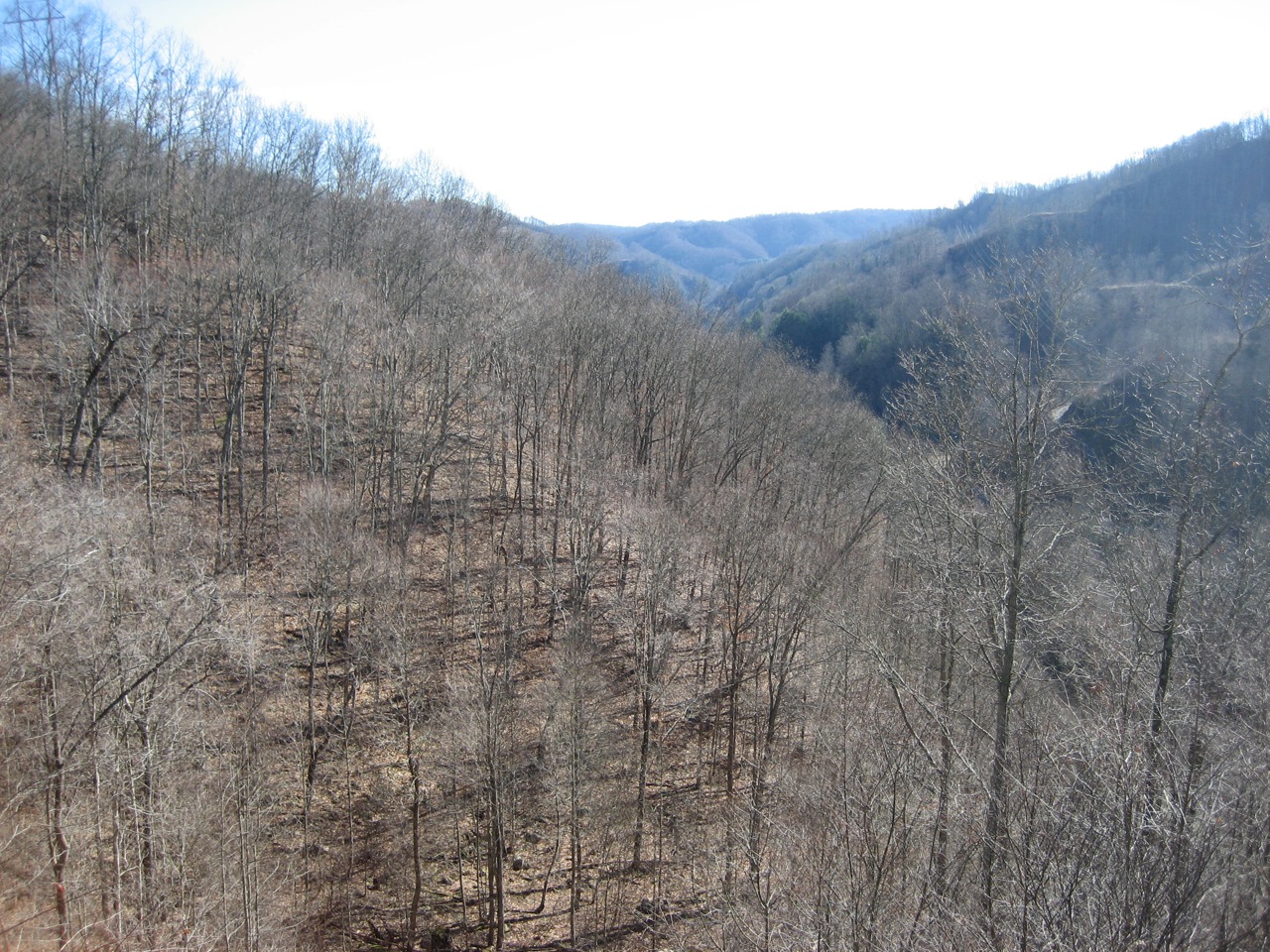
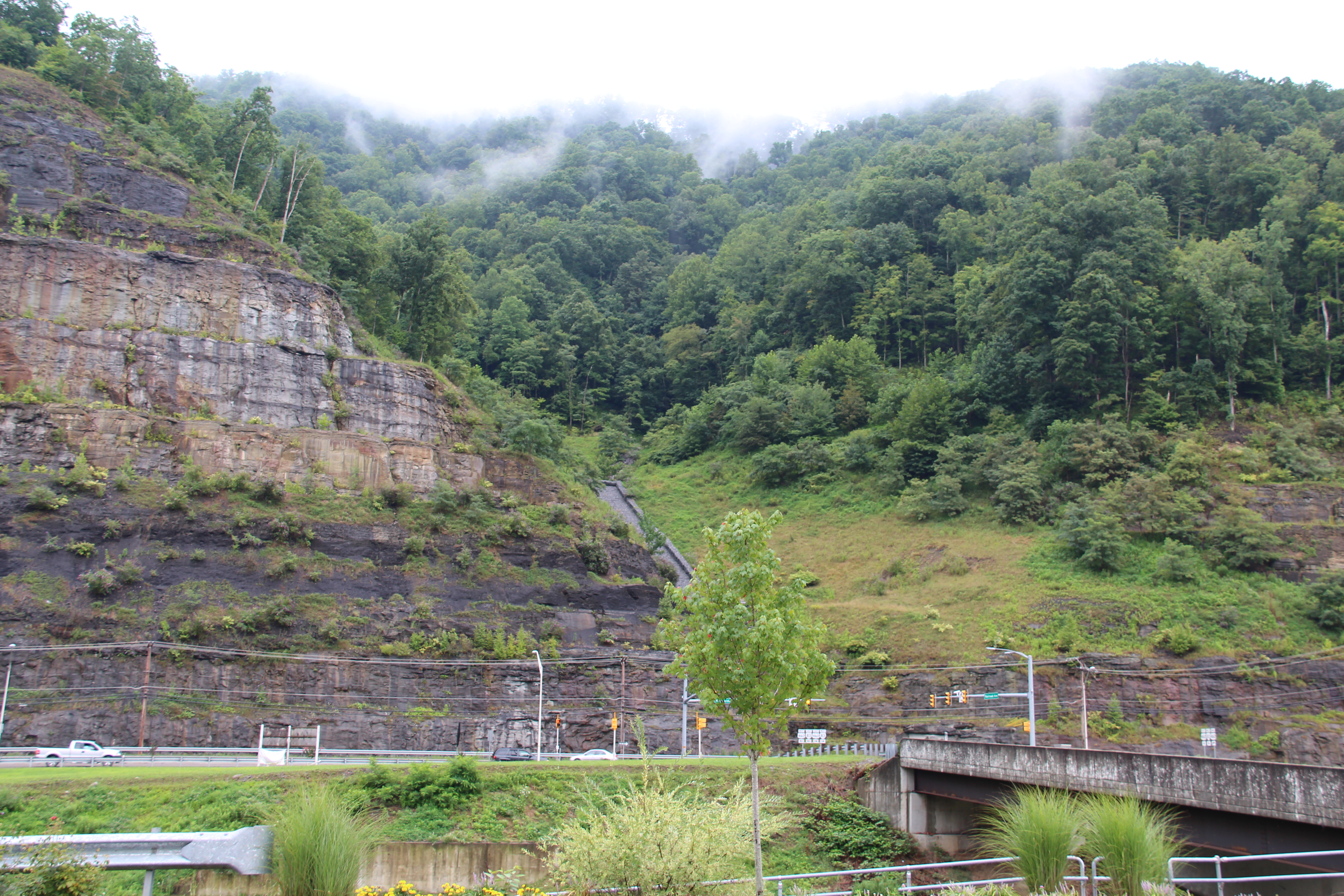
Grundy Cut
IMG_0212.JPG
P1010061.JPG
IMG_0210.JPG
Topographic Map of Grundy, VA, USA
Find elevation by address:

Places in Grundy, VA, USA:
Places near Grundy, VA, USA:
Grundy Funeral Home
22006 Riverside Dr
Hoot Owl Street
1589 Slate Creek Rd
1834 Booth Branch Rd
1748 Booth Branch Rd
1742 Booth Branch Rd
1535 Slate Creek Rd
Booth Branch Road
North Grundy
Elijah Branch Rd, Big Rock, VA, USA
Jacks Creek Road
1680 Puncheon Camp Rd
Jacks Creek Road
Jacks Creek Road
Jacks Creek Road
Rock Lick
Big Rock
1301 Charles Rd
Hurley
Recent Searches:
- Elevation of Leguwa, Nepal
- Elevation of County Rd, Enterprise, AL, USA
- Elevation of Kolchuginsky District, Vladimir Oblast, Russia
- Elevation of Shustino, Vladimir Oblast, Russia
- Elevation of Lampiasi St, Sarasota, FL, USA
- Elevation of Elwyn Dr, Roanoke Rapids, NC, USA
- Elevation of Congressional Dr, Stevensville, MD, USA
- Elevation of Bellview Rd, McLean, VA, USA
- Elevation of Stage Island Rd, Chatham, MA, USA
- Elevation of Shibuya Scramble Crossing, 21 Udagawacho, Shibuya City, Tokyo -, Japan