Elevation of Dismal River Rd, Oakwood, VA, USA
Location: United States > Virginia > Buchanan County > Garden >
Longitude: -81.955514
Latitude: 37.2465399
Elevation: -10000m / -32808feet
Barometric Pressure: 295KPa
Elevation Map:
Satellite Map:
Related Photos:

Whitewood VA Drone
Grundy, Virginia

IMG_0213.JPG

IMG_0210.JPG

coke oven2

Grundy, Virginia

Grundy, Virginia

One of many cattle ranges on Compton Mountain. Grundy VA

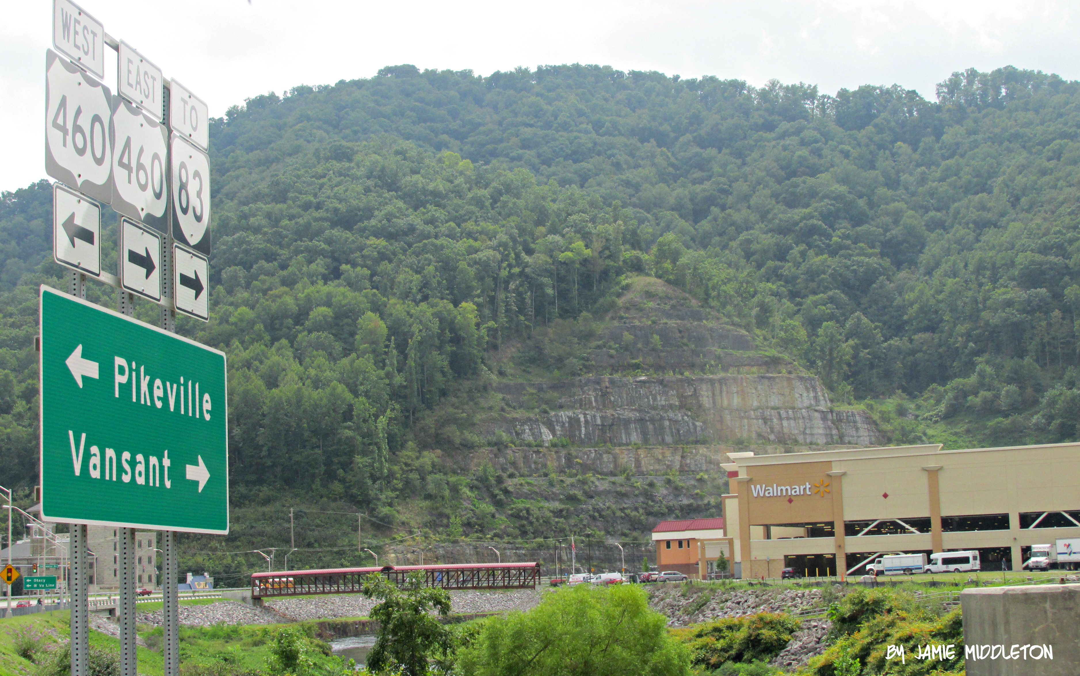
Grundy, Virginia

Grundy, Virginia

P1010004.JPG

vandyke hollow

P1010021.JPG

P1010061.JPG

American Airlines – Airbus A321-231 N918US
Topographic Map of Dismal River Rd, Oakwood, VA, USA
Find elevation by address:

Places near Dismal River Rd, Oakwood, VA, USA:
Dragon Road
VA-, Oakwood, VA, USA
Buchanan County
Twin Valley High School
Pilgrim's Knob
Garden
Oakwood
North Grundy
Booth Branch Road
1742 Booth Branch Rd
1748 Booth Branch Rd
1834 Booth Branch Rd
1535 Slate Creek Rd
1589 Slate Creek Rd
South Grundy
Rowe
1301 Charles Rd
Vansant
5988 Deskins Rd
Grundy
Recent Searches:
- Elevation of Kambingan Sa Pansol Atbp., Purok 7 Pansol, Candaba, Pampanga, Philippines
- Elevation of Pinewood Dr, New Bern, NC, USA
- Elevation of Mountain View, CA, USA
- Elevation of Foligno, Province of Perugia, Italy
- Elevation of Blauwestad, Netherlands
- Elevation of Bella Terra Blvd, Estero, FL, USA
- Elevation of Estates Loop, Priest River, ID, USA
- Elevation of Woodland Oak Pl, Thousand Oaks, CA, USA
- Elevation of Brownsdale Rd, Renfrew, PA, USA
- Elevation of Corcoran Ln, Suffolk, VA, USA