Elevation of US-, Ore City, TX, USA
Location: United States > Texas > Upshur County > Ore City >
Longitude: -94.720894
Latitude: 32.7997545
Elevation: 100m / 328feet
Barometric Pressure: 100KPa
Elevation Map:
Satellite Map:
Related Photos:

DSC_0701.jpg

DSC_0706.jpg

20140622-PANO_2014P1010682
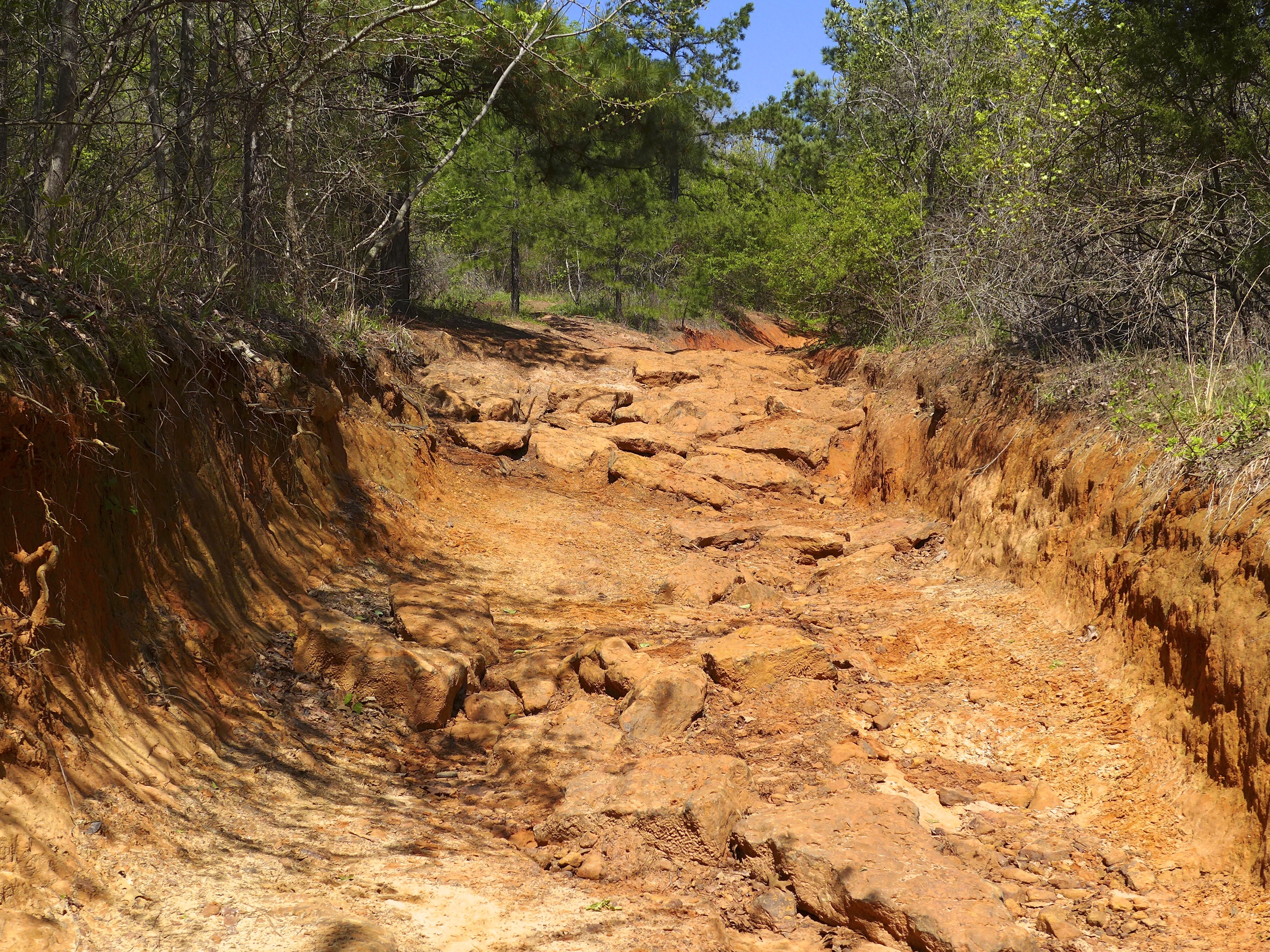
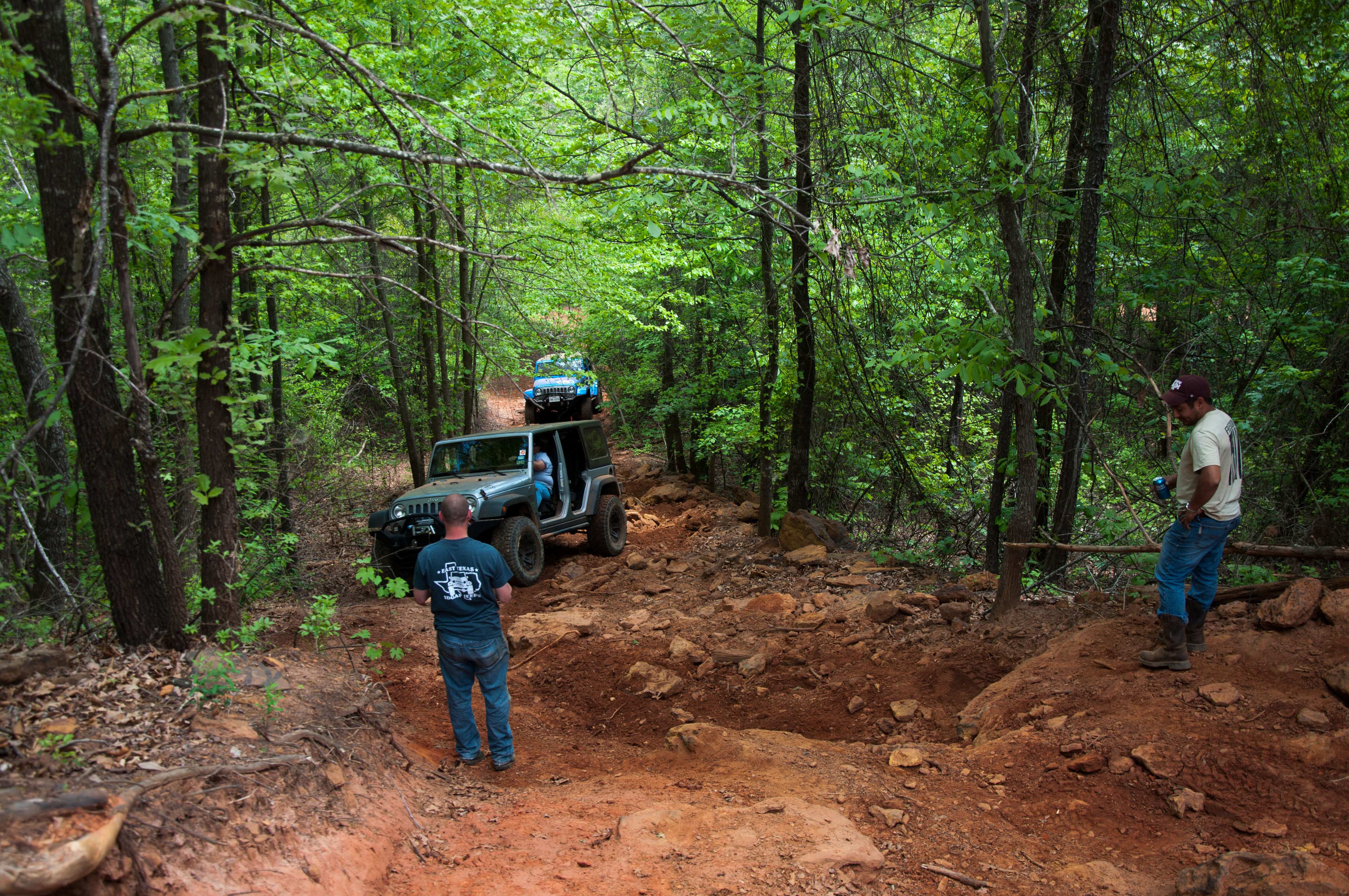
Barnwell mountain off road park
20140306-PANO_2014P1080750
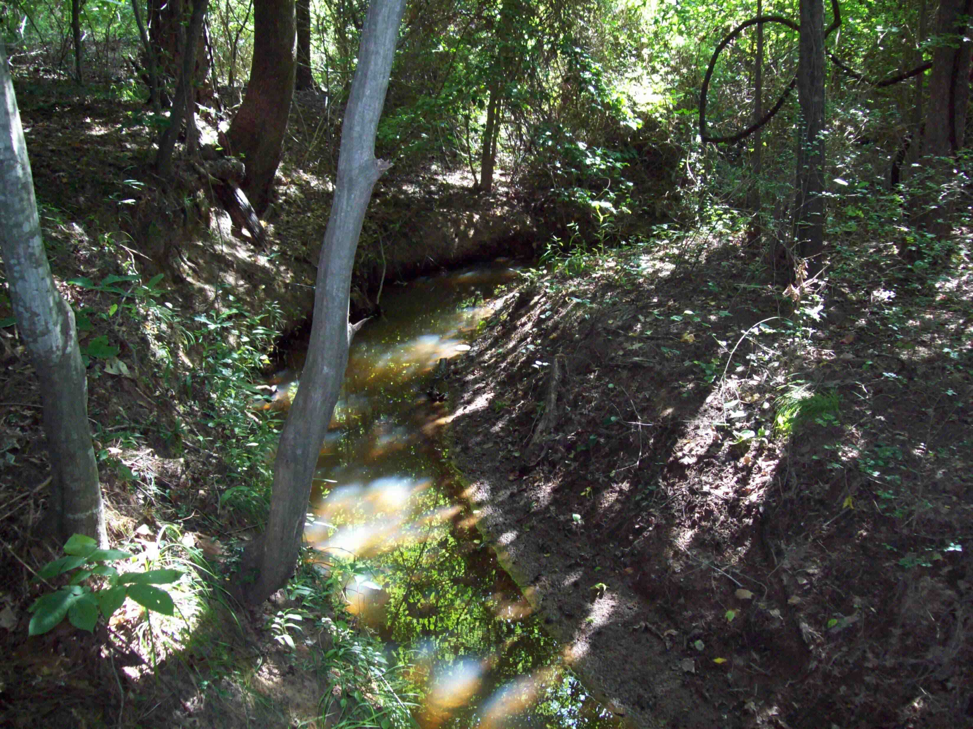
high holy place of my youth
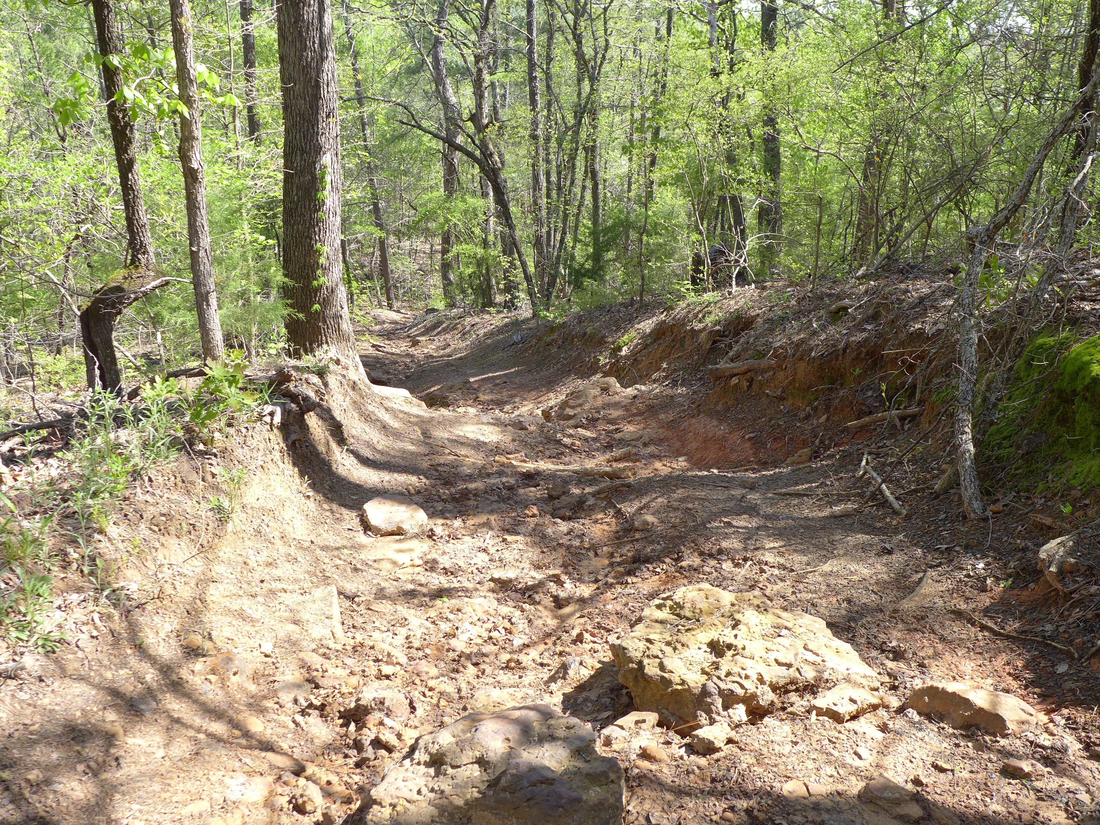
Barnwell mountain off road park

DSC_0593.jpg

DSC_0590.jpg

2013 LSJC Election Run
DSC_0575.jpg
Topographic Map of US-, Ore City, TX, USA
Find elevation by address:

Places near US-, Ore City, TX, USA:
Ore City
3119 Zinnia Rd
6047 Fm 726
13155 Hankins Heights
690 Lazy Daisy Rd
Diana
TX-, Diana, TX, USA
850 Navajo Dr
1694 Us-259
Bois D'Arc Dr, Diana, TX, USA
Owl Road
FM, Gilmer, TX, USA
Fannin St, Lone Star, TX, USA
9419 Fm729
FM, Pittsburg, TX, USA
3150 Bluebell Rd
Johnson Creek Camp
728 Co Rd 2215
US-, Daingerfield, TX, USA
TX-, Gilmer, TX, USA
Recent Searches:
- Elevation of Jadagoniai, Kaunas District Municipality, Lithuania
- Elevation of Pagonija rock, Kranto 7-oji g. 8"N, Kaunas, Lithuania
- Elevation of Co Rd 87, Jamestown, CO, USA
- Elevation of Tenjo, Cundinamarca, Colombia
- Elevation of Côte-des-Neiges, Montreal, QC H4A 3J6, Canada
- Elevation of Bobcat Dr, Helena, MT, USA
- Elevation of Zu den Ihlowbergen, Althüttendorf, Germany
- Elevation of Badaber, Peshawar, Khyber Pakhtunkhwa, Pakistan
- Elevation of SE Heron Loop, Lincoln City, OR, USA
- Elevation of Slanický ostrov, 01 Námestovo, Slovakia