Elevation of US-, Daingerfield, TX, USA
Location: United States > Texas >
Longitude: -94.719178
Latitude: 32.976993
Elevation: 92m / 302feet
Barometric Pressure: 100KPa
Elevation Map:
Satellite Map:
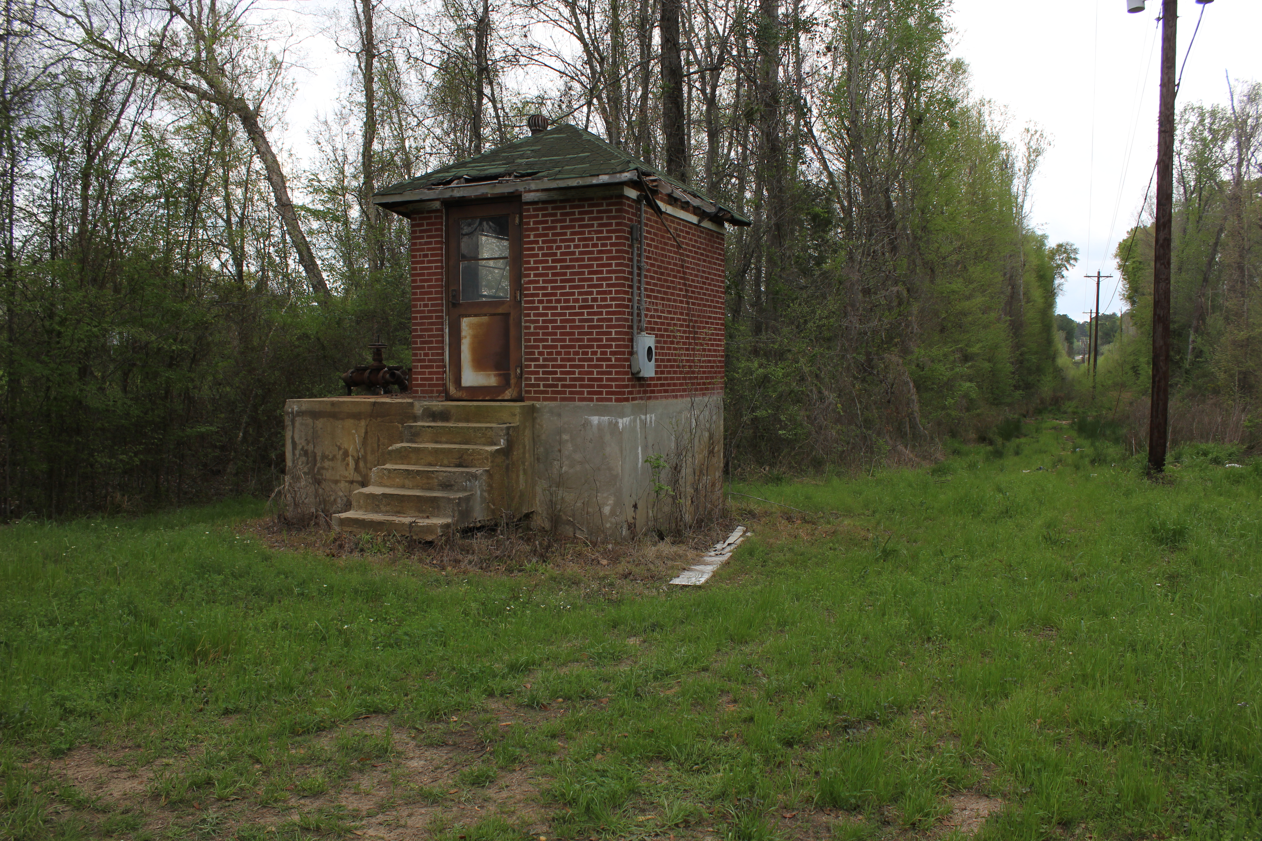
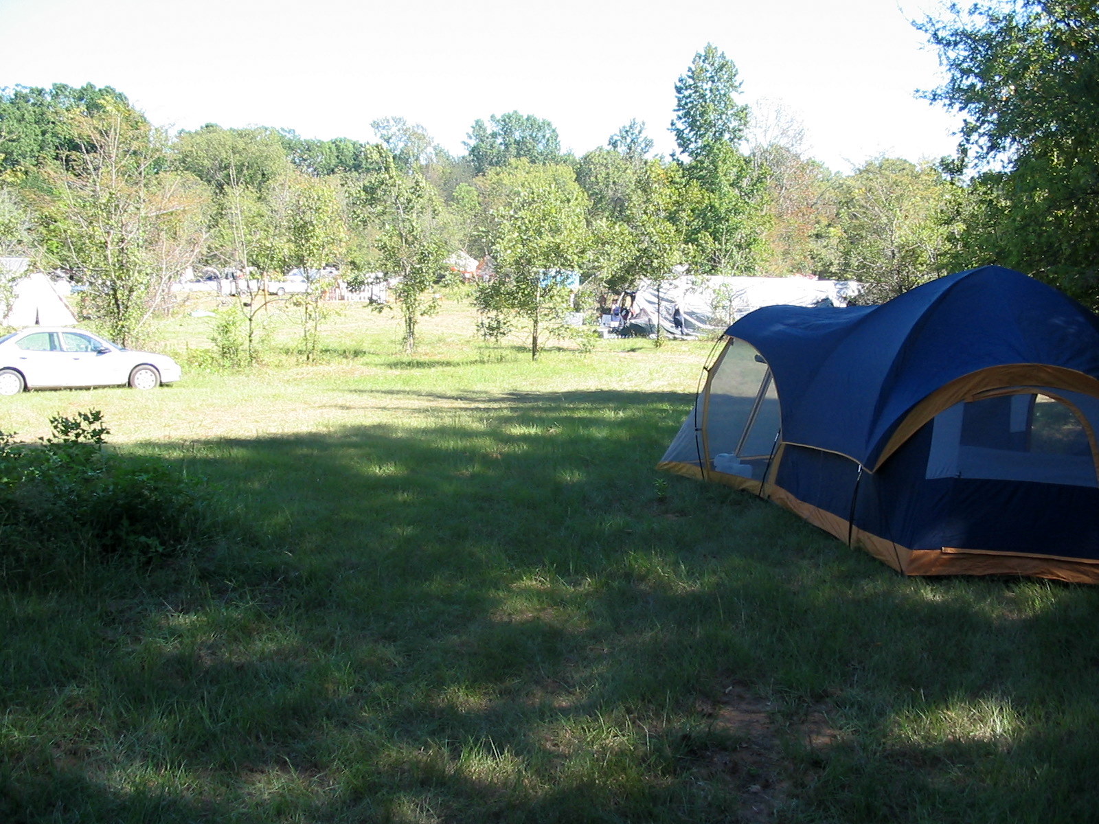
Related Photos:

Our First Sunset in the Park
A Reminder
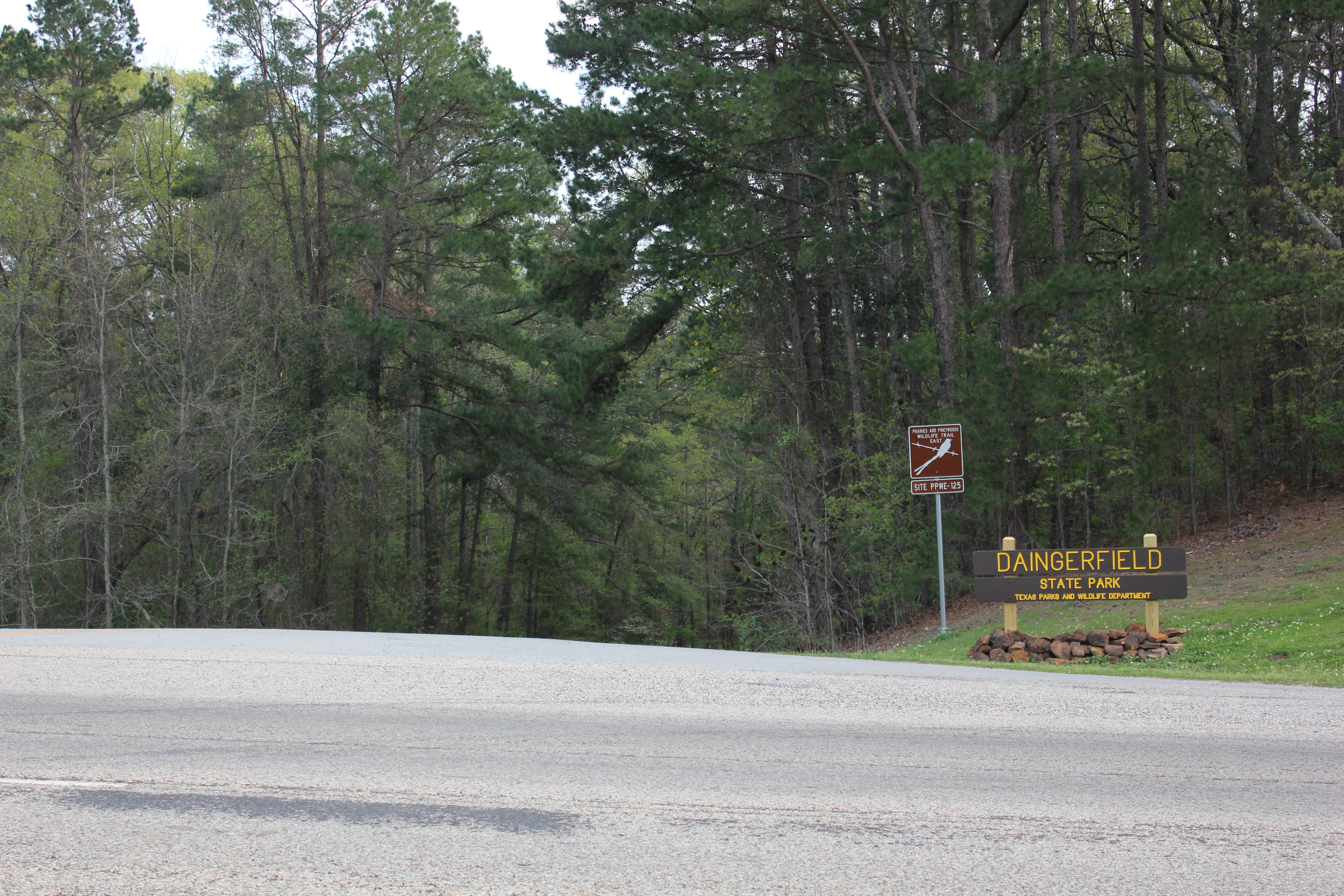
Daingerfield State Park Entrance, Daingerfield, Texas
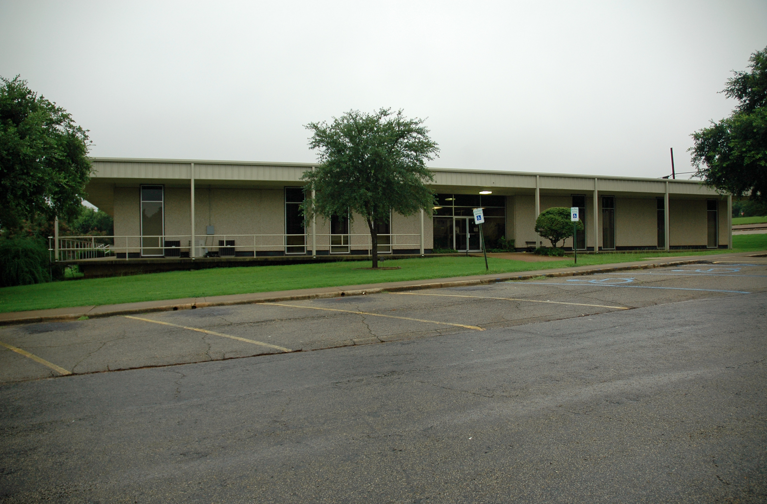
Morris County Courthouse
The view from the PentaSkwidagon
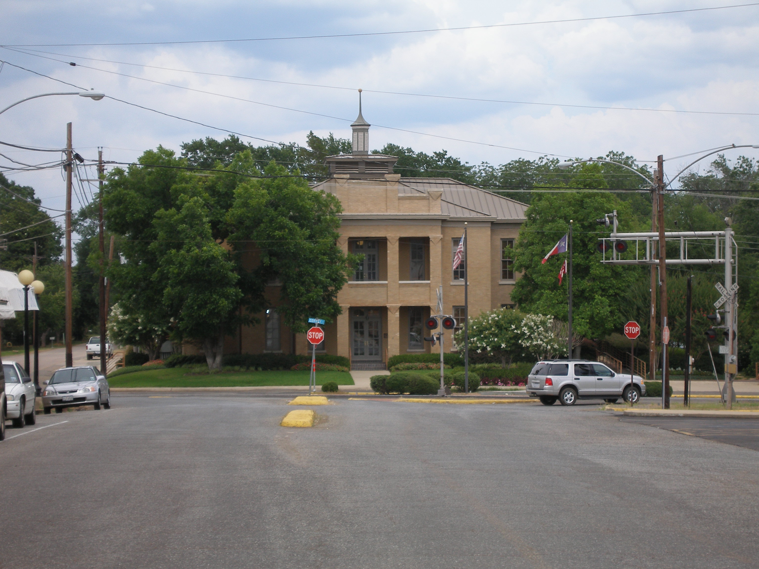
Old Court House, Daingerfield, Morris County, Texas. View from Webb Street. June, 2006
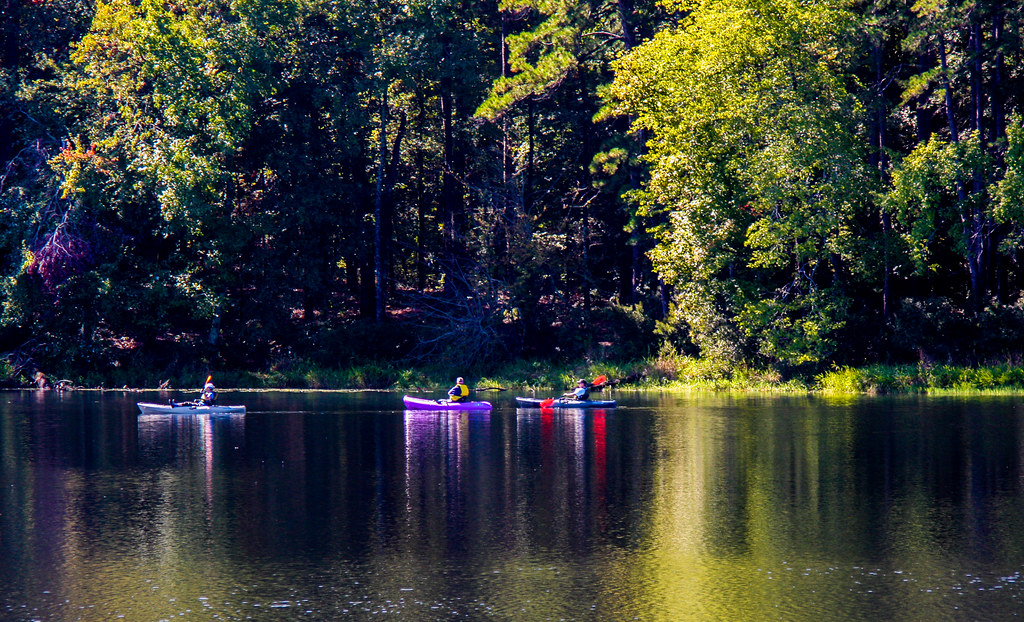
Kayak Reflections
Daingerfield State Park, Daingerfield, Texas

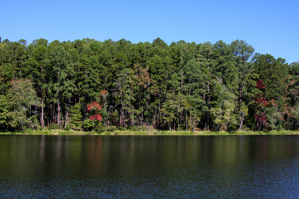
Lake Scene
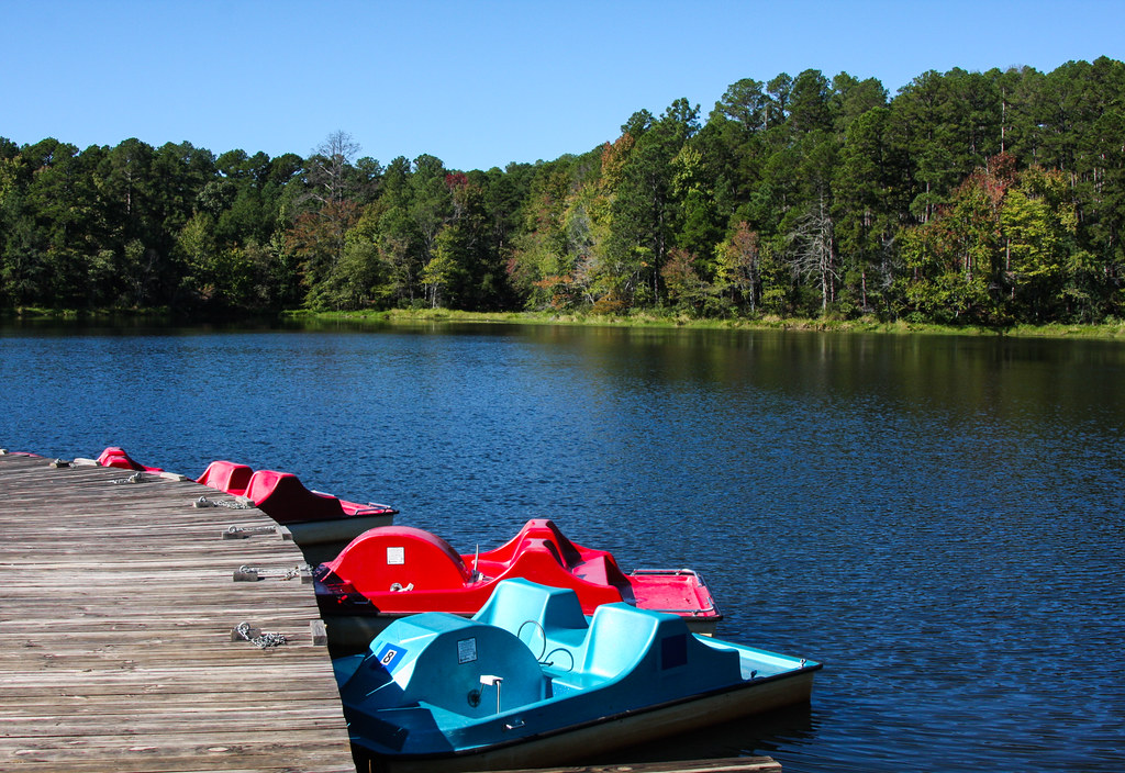
Paddle Boats
Some Color
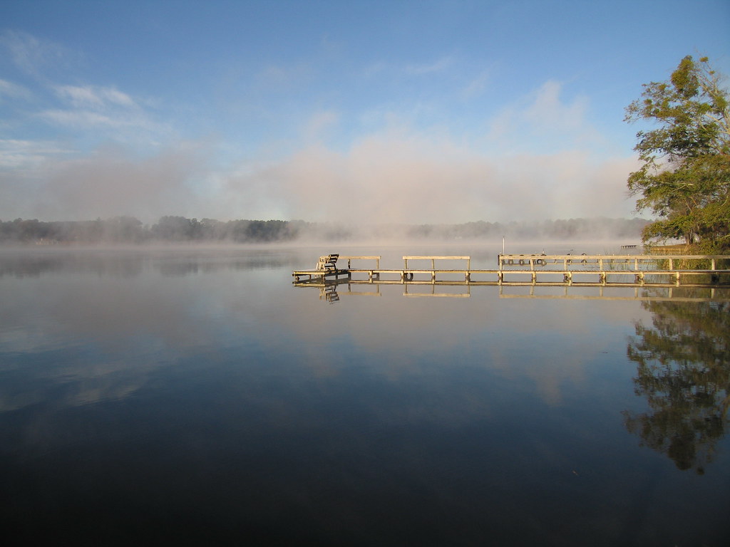
The Calm

Peaceful Setting
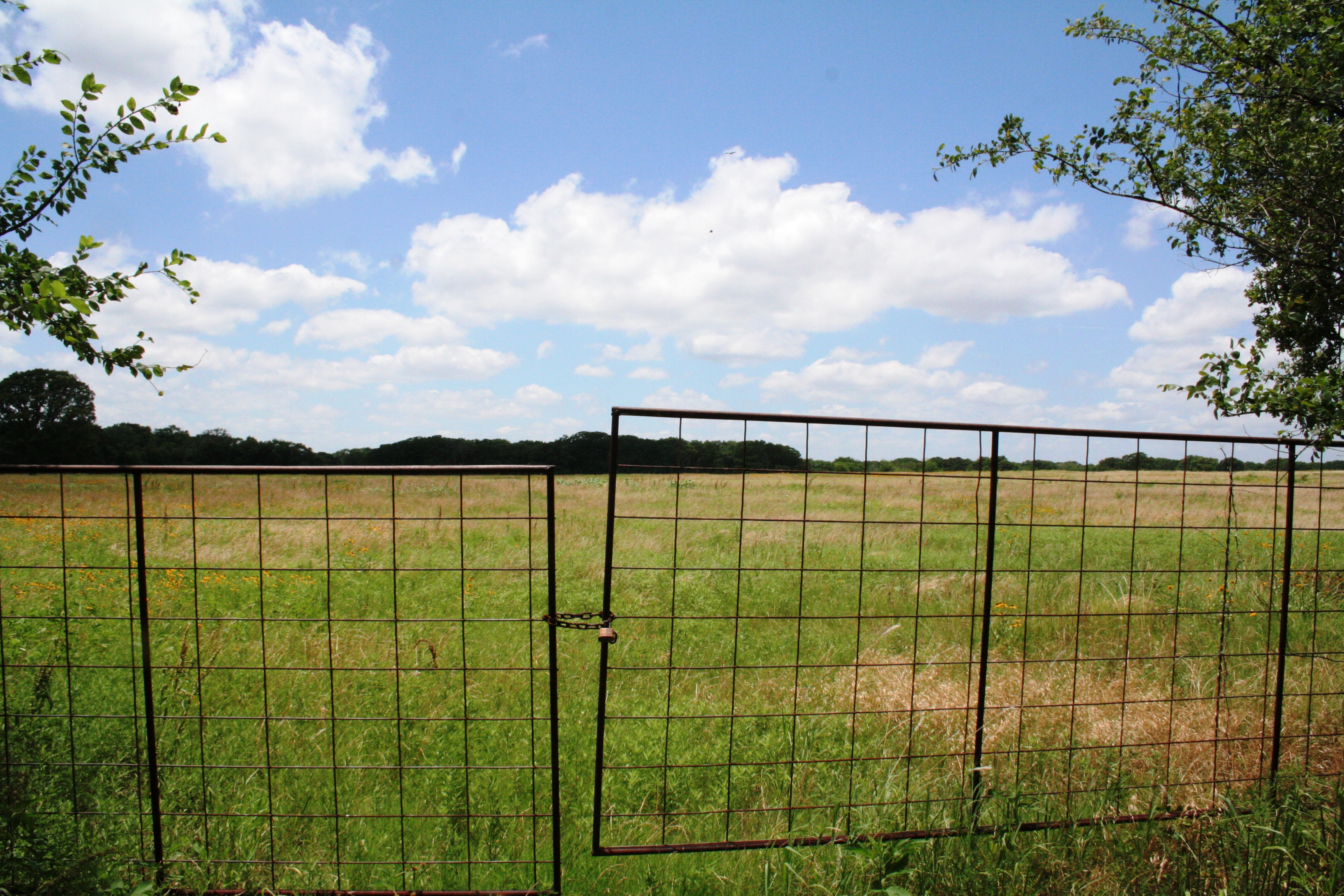
The Gate to Texas Sky
high holy place of my youth
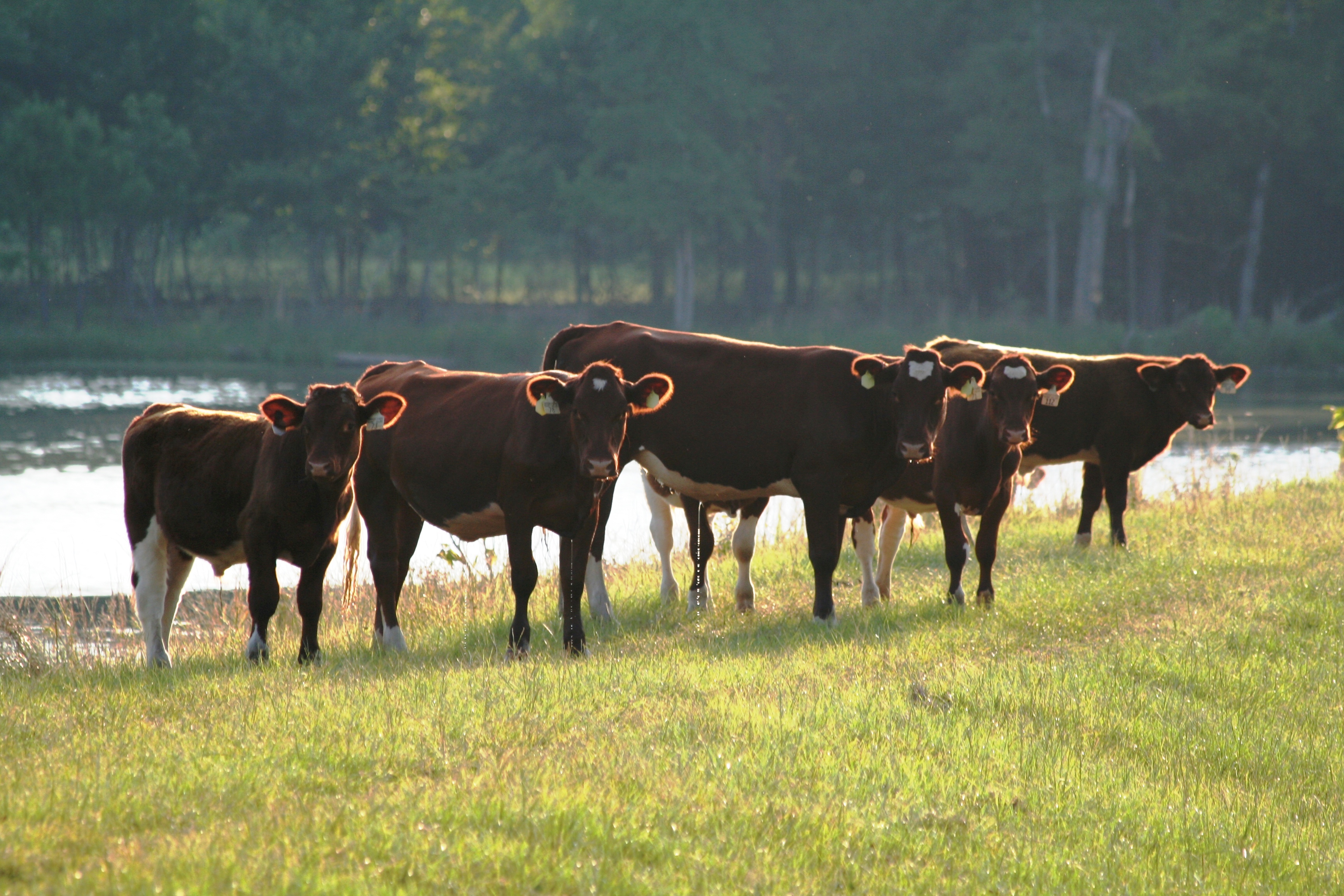
Cattle Pose

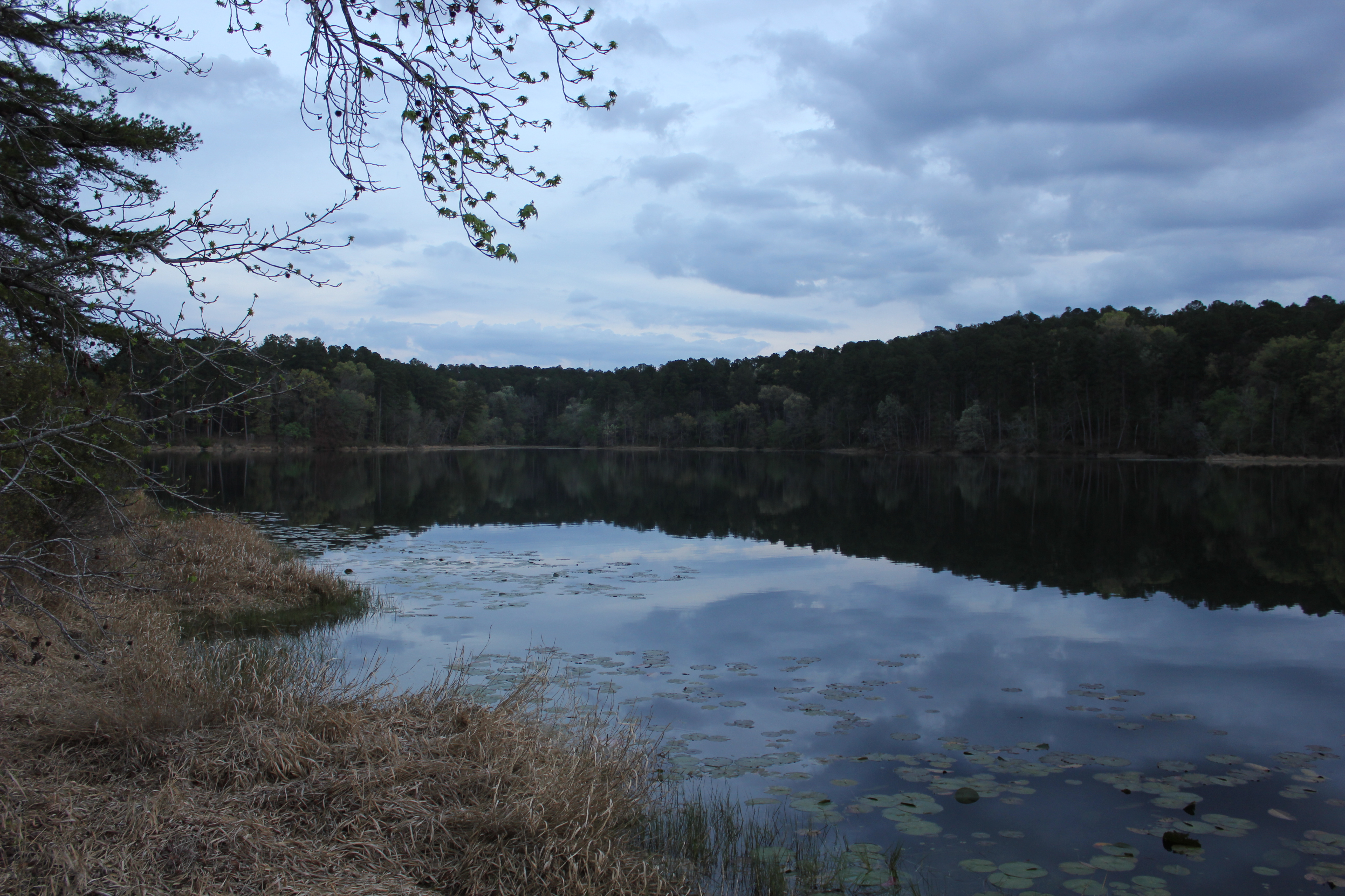
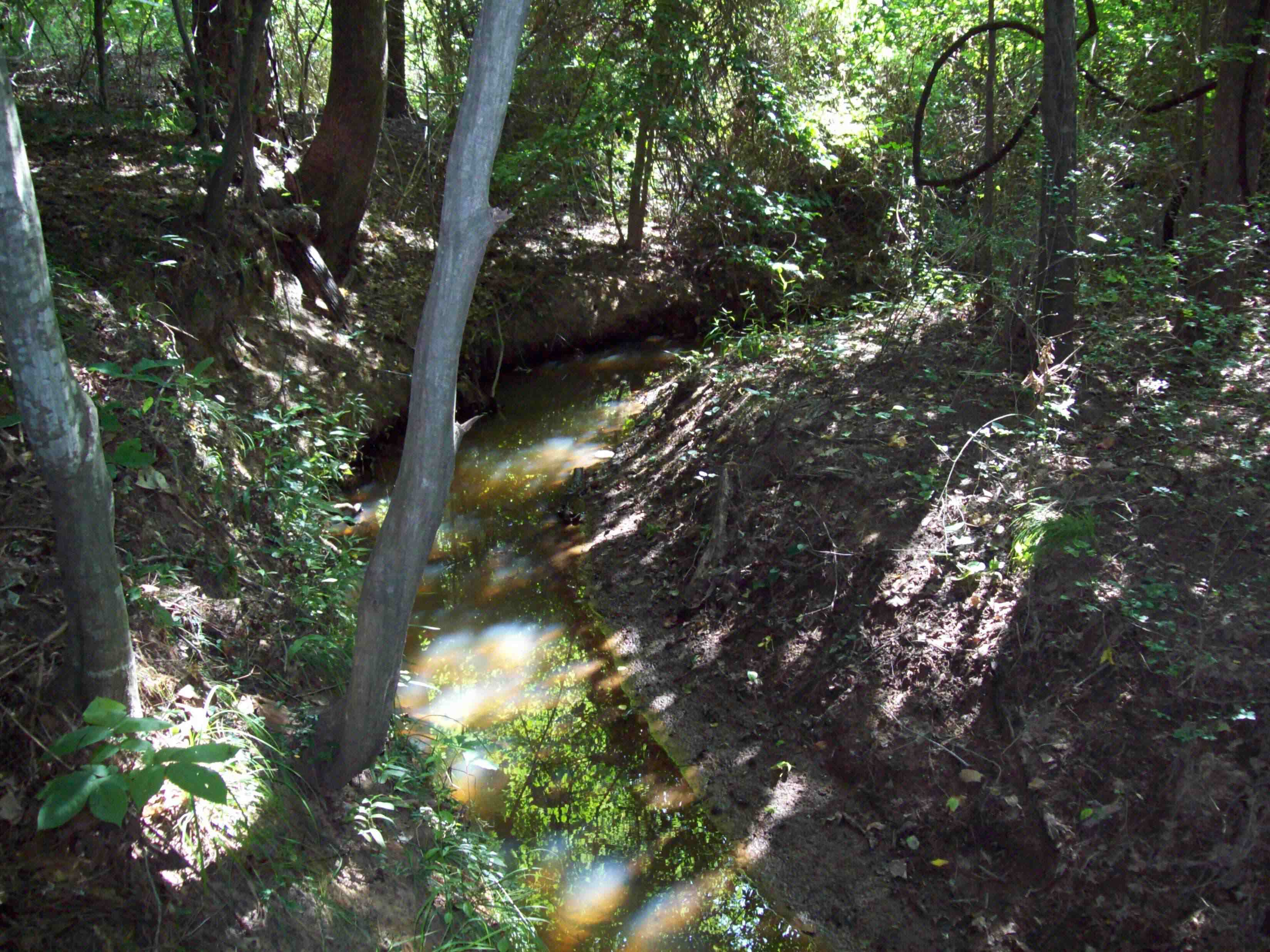
Hike Around Dangerfield Lake
Topographic Map of US-, Daingerfield, TX, USA
Find elevation by address:

Places near US-, Daingerfield, TX, USA:
728 Co Rd 2215
Fannin St, Lone Star, TX, USA
Daingerfield, TX, USA
Daingerfield
Hughes Springs
1st St, Hughes Springs, TX, USA
Morris County
FM, Pittsburg, TX, USA
FM, Gilmer, TX, USA
FM, Pittsburg, TX, USA
4685 Fm 2254
FM, Cookville, TX, USA
Ore City
US-, Ore City, TX, USA
850 Navajo Dr
Avinger
Sardis
County Road 4325
Omaha
505 Scott St
Recent Searches:
- Elevation of Lagasgasan, X+CQH, Tiaong, Quezon, Philippines
- Elevation of Rojo Ct, Atascadero, CA, USA
- Elevation of Flagstaff Drive, Flagstaff Dr, North Carolina, USA
- Elevation of Avery Ln, Lakeland, FL, USA
- Elevation of Woolwine, VA, USA
- Elevation of Lumagwas Diversified Farmers Multi-Purpose Cooperative, Lumagwas, Adtuyon, RV32+MH7, Pangantucan, Bukidnon, Philippines
- Elevation of Homestead Ridge, New Braunfels, TX, USA
- Elevation of Orchard Road, Orchard Rd, Marlborough, NY, USA
- Elevation of 12 Hutchinson Woods Dr, Fletcher, NC, USA
- Elevation of Holloway Ave, San Francisco, CA, USA