Elevation of Navajo Dr, Avinger, TX, USA
Location: United States > Texas > Marion County > Avinger >
Longitude: -94.626072
Latitude: 32.8232441
Elevation: 109m / 358feet
Barometric Pressure: 100KPa
Elevation Map:
Satellite Map:
Related Photos:

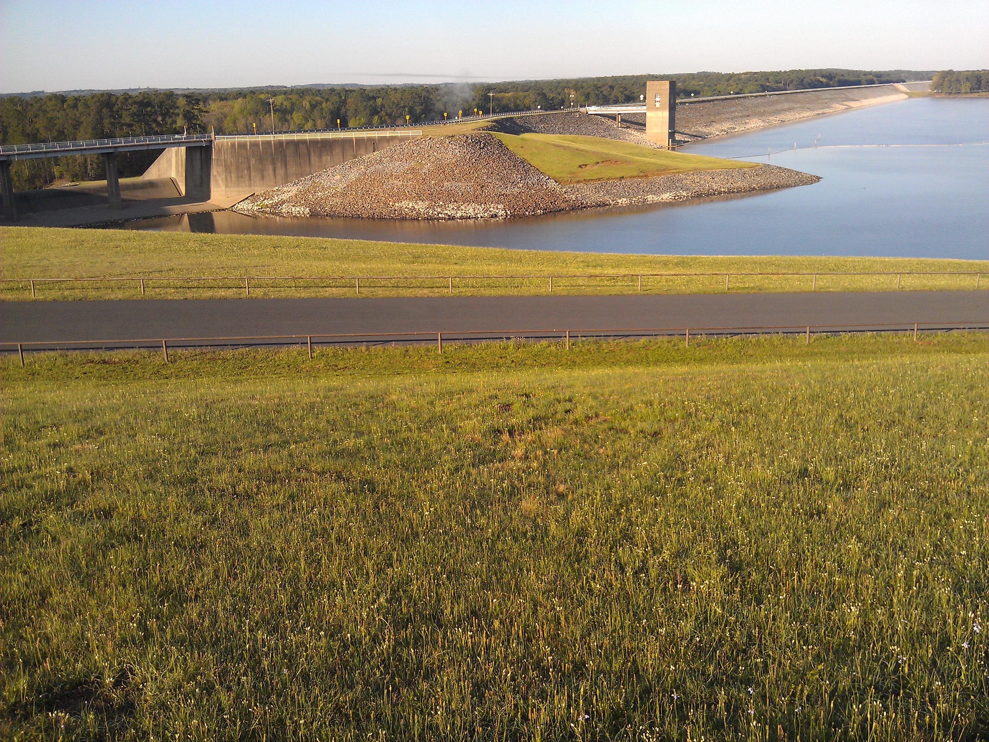
Lake O' the Pines

big cypress.jpg

sunrise.jpg

high holy place of my youth
Lake O' the Pines- Marion County TX (7)

#indian paintbrush #crimson clover

EarlyFall Morning
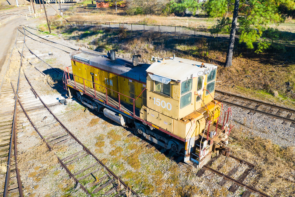
TN 1500 - Lone Star Texas

226 - Lone Star

Post Office 75668 (Lone Star, Texas)

Post Office 75683 (Ore City, Texas)

Sunset at Eagle Landing

TX155nRoadSign-Sunrise

Christmas 2014

Christmas 2014

Christmas 2014

Christmas 2014

Christmas 2014

Christmas 2014

Christmas 2014

Christmas 2014

Christmas 2014

Christmas 2014

Christmas 2014

Christmas 2014

Christmas 2014

Christmas 2014
Topographic Map of Navajo Dr, Avinger, TX, USA
Find elevation by address:

Places near Navajo Dr, Avinger, TX, USA:
9419 Fm729
Johnson Creek Camp
Ore City
US-, Ore City, TX, USA
Avinger
3119 Zinnia Rd
FM, Jefferson, TX, USA
13155 Hankins Heights
6047 Fm 726
Fannin St, Lone Star, TX, USA
Harleton
TX-, Harleton, TX, USA
589 Baker Rd
589 Baker Rd
Diana
TX-, Diana, TX, USA
Owl Road
1694 Us-259
1st St, Hughes Springs, TX, USA
Hughes Springs
Recent Searches:
- Elevation of Co Rd 87, Jamestown, CO, USA
- Elevation of Tenjo, Cundinamarca, Colombia
- Elevation of Côte-des-Neiges, Montreal, QC H4A 3J6, Canada
- Elevation of Bobcat Dr, Helena, MT, USA
- Elevation of Zu den Ihlowbergen, Althüttendorf, Germany
- Elevation of Badaber, Peshawar, Khyber Pakhtunkhwa, Pakistan
- Elevation of SE Heron Loop, Lincoln City, OR, USA
- Elevation of Slanický ostrov, 01 Námestovo, Slovakia
- Elevation of Spaceport America, Co Rd A, Truth or Consequences, NM, USA
- Elevation of Warwick, RI, USA