Elevation of Upshur County, TX, USA
Location: United States > Texas >
Longitude: -94.976654
Latitude: 32.7099747
Elevation: 154m / 505feet
Barometric Pressure: 99KPa
Elevation Map:
Satellite Map:
Related Photos:

DSC_0701.jpg

DSC_0706.jpg

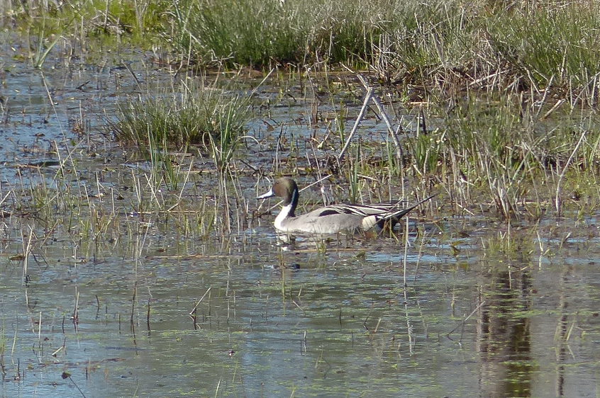
20140622-PANO_2014P1010682
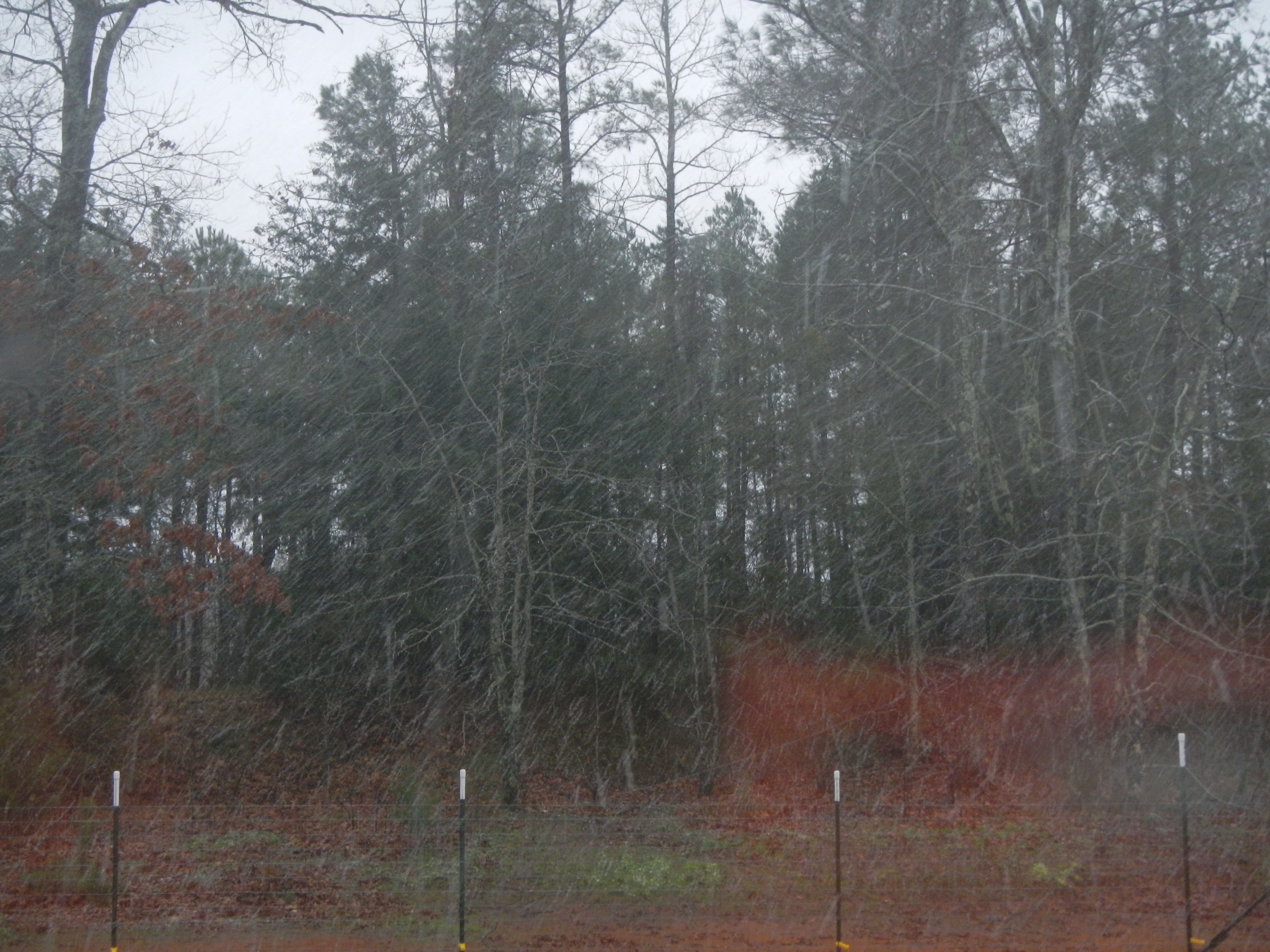
Snow at Christmas, 2012
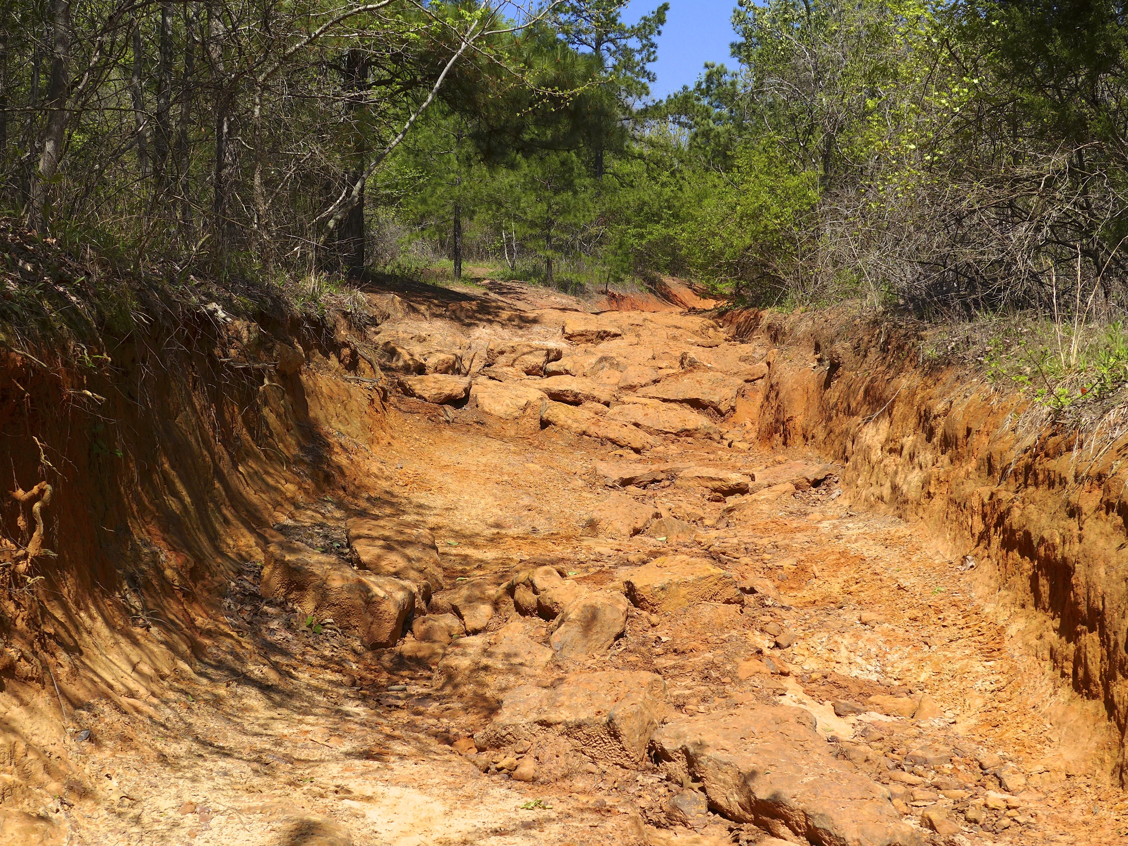
Barnwell mountain off road park
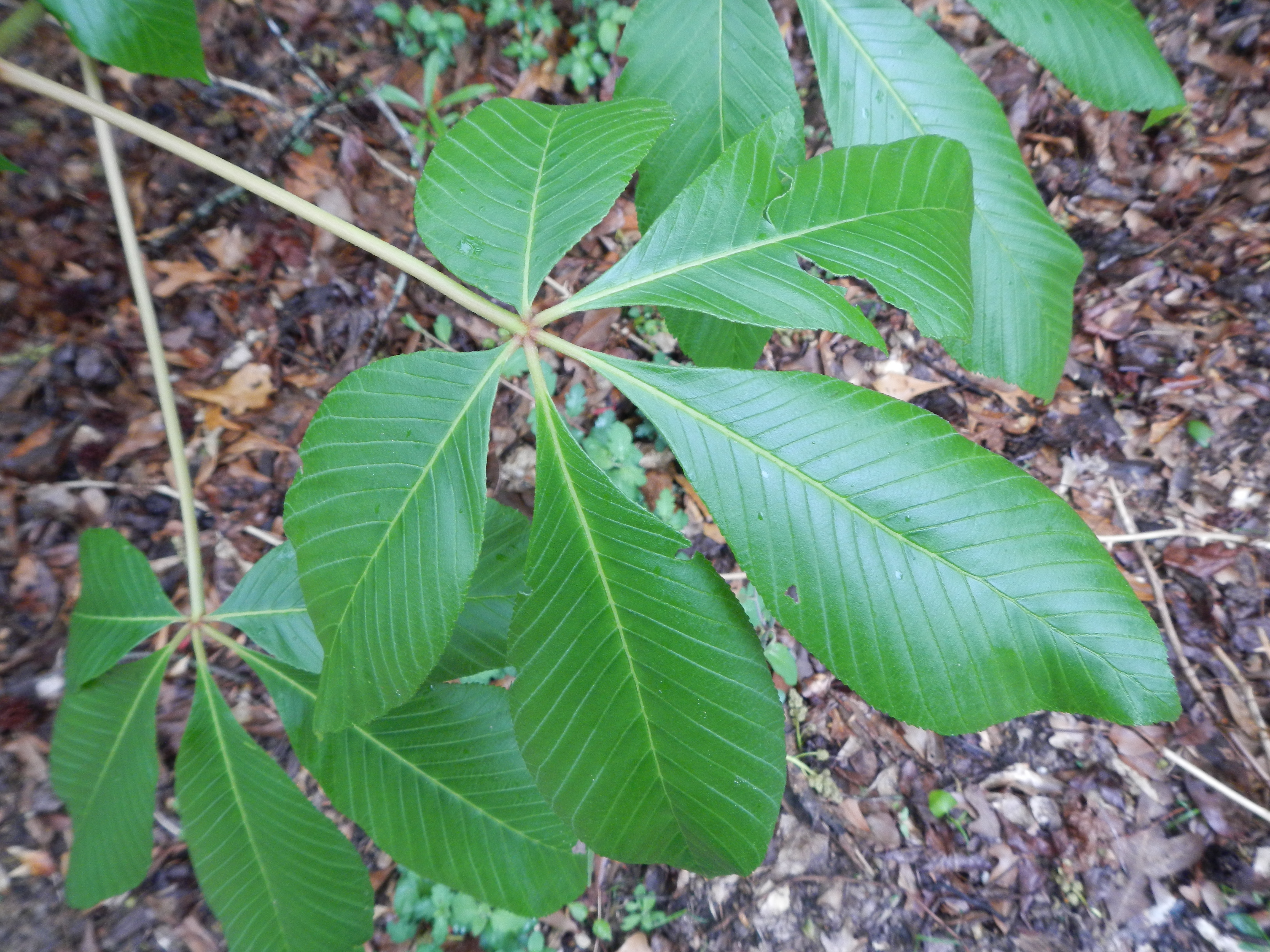
20140306-PANO_2014P1080750
DSCN0563.JPG
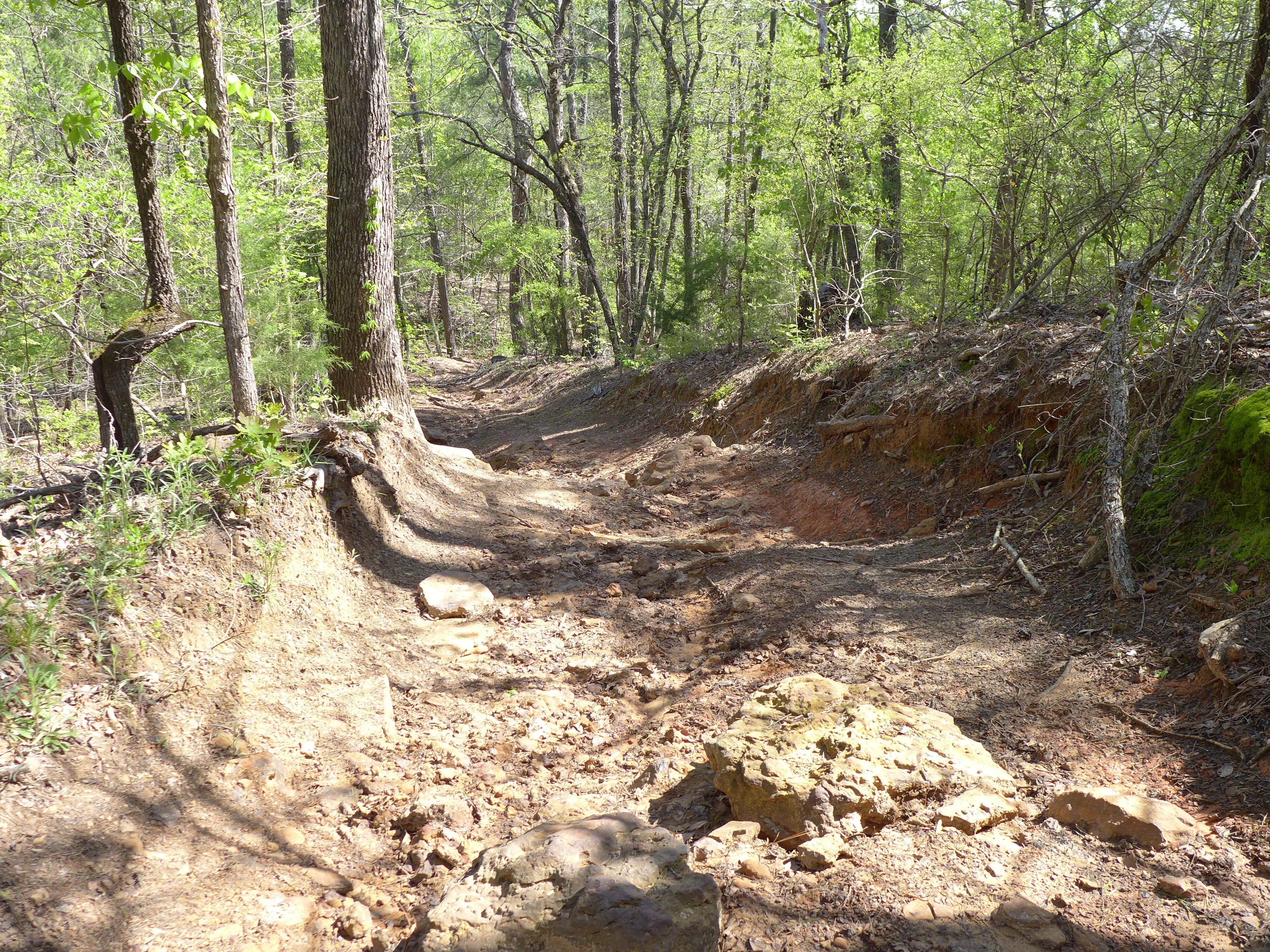
Barnwell mountain off road park

DSC_0593.jpg

DSC_0590.jpg

2013 LSJC Election Run

DSC_0575.jpg
Topographic Map of Upshur County, TX, USA
Find elevation by address:

Places in Upshur County, TX, USA:
Places near Upshur County, TX, USA:
2781 Fm852
Gilmer
3175 Crabapple Rd
Bob-O-Link Rd, Gilmer, TX, USA
1561 Ironwood Rd
Gilmer, TX, USA
Crabapple Rd, Big Sandy, TX, USA
2226 Holly Rd
FM, Gilmer, TX, USA
3863 Bobwhite Rd
S Live Oak Rd, Gilmer, TX, USA
TX-, Gilmer, TX, USA
3150 Bluebell Rd
9644 Fm 49
S Lake Dr, Gilmer, TX, USA
2499 Red Maple Rd
Dahlia Rd, Gilmer, TX, USA
2775 Willow Oak Rd
FM, Gilmer, TX, USA
US-80, Big Sandy, TX, USA
Recent Searches:
- Elevation of Corso Fratelli Cairoli, 35, Macerata MC, Italy
- Elevation of Tallevast Rd, Sarasota, FL, USA
- Elevation of 4th St E, Sonoma, CA, USA
- Elevation of Black Hollow Rd, Pennsdale, PA, USA
- Elevation of Oakland Ave, Williamsport, PA, USA
- Elevation of Pedrógão Grande, Portugal
- Elevation of Klee Dr, Martinsburg, WV, USA
- Elevation of Via Roma, Pieranica CR, Italy
- Elevation of Tavkvetili Mountain, Georgia
- Elevation of Hartfords Bluff Cir, Mt Pleasant, SC, USA