Elevation of Bob-O-Link Rd, Gilmer, TX, USA
Location: United States > Texas > Upshur County > Gilmer >
Longitude: -94.930829
Latitude: 32.6859589
Elevation: 115m / 377feet
Barometric Pressure: 100KPa
Elevation Map:
Satellite Map:
Related Photos:
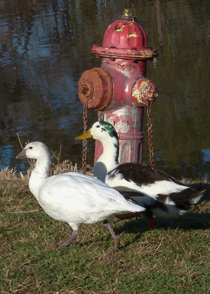
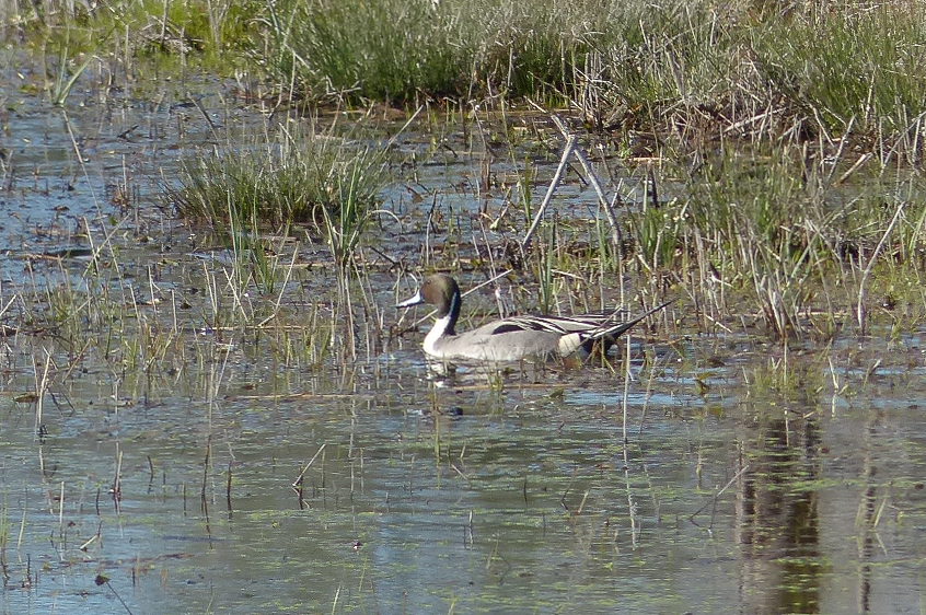
Branta minima X Ross's Goose, hybrid

Cackling Goose, Branta minima
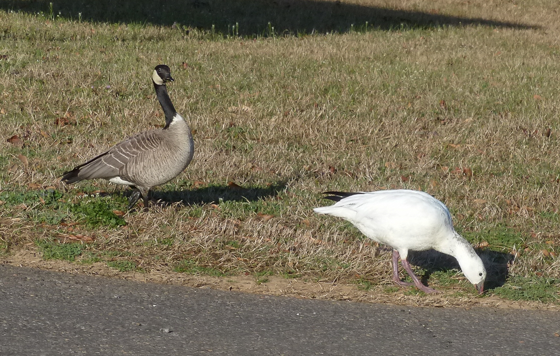
Branta minima X Ross's Goose, Cackling Goose
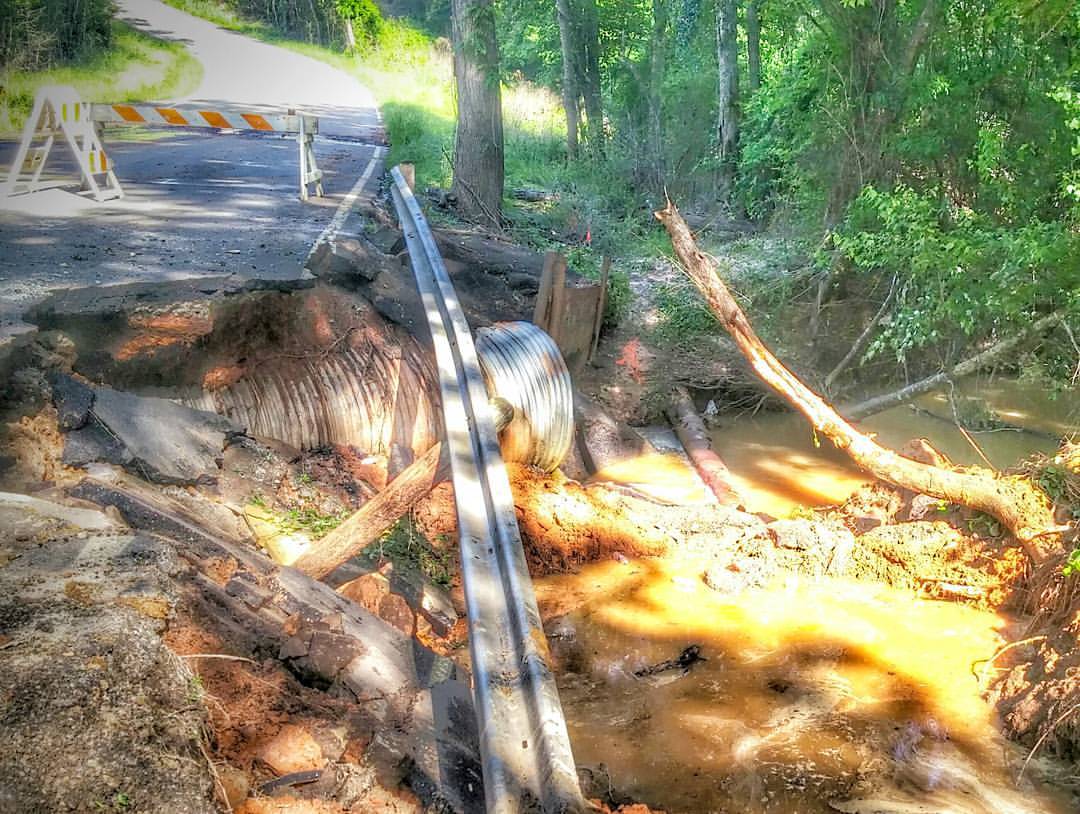
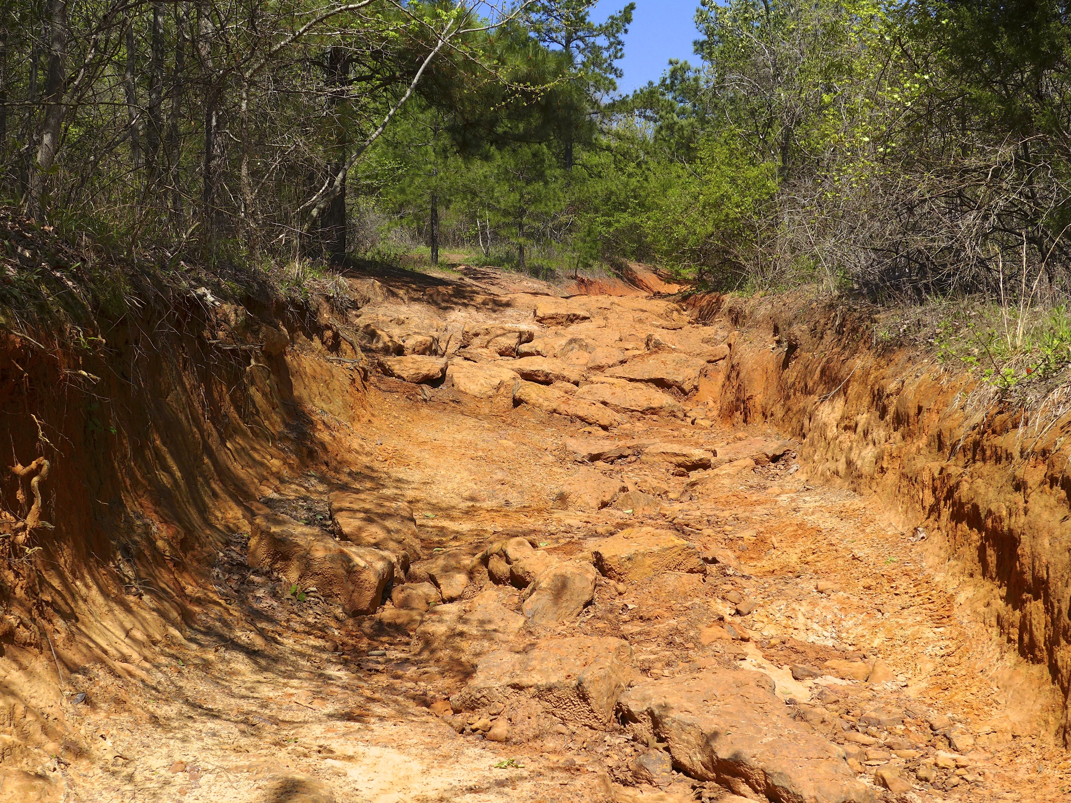
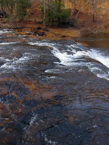
Washout on a county road in the Shiloh community, just west of Longview city limits.

Airplane at Sunset
DSC_0701.jpg

DSC_0706.jpg
20140622-PANO_2014P1010682
Snow at Christmas, 2012
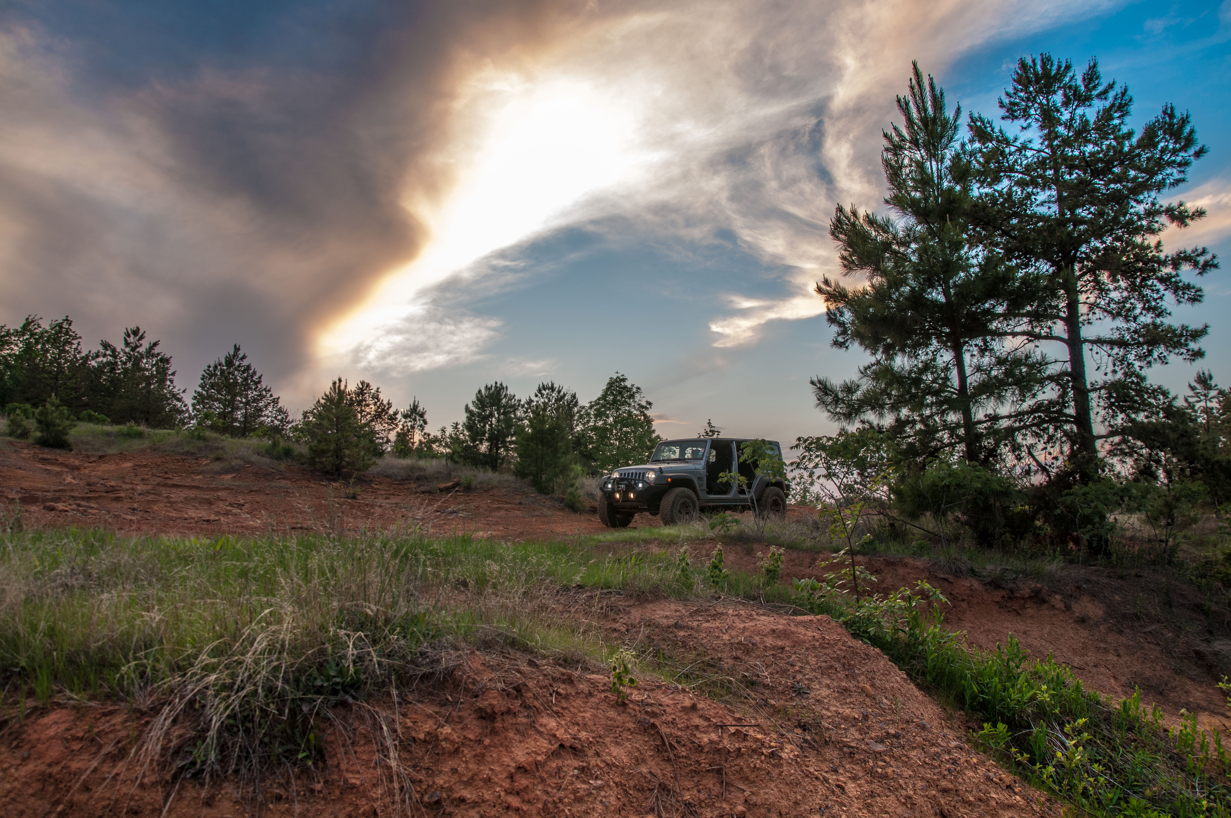
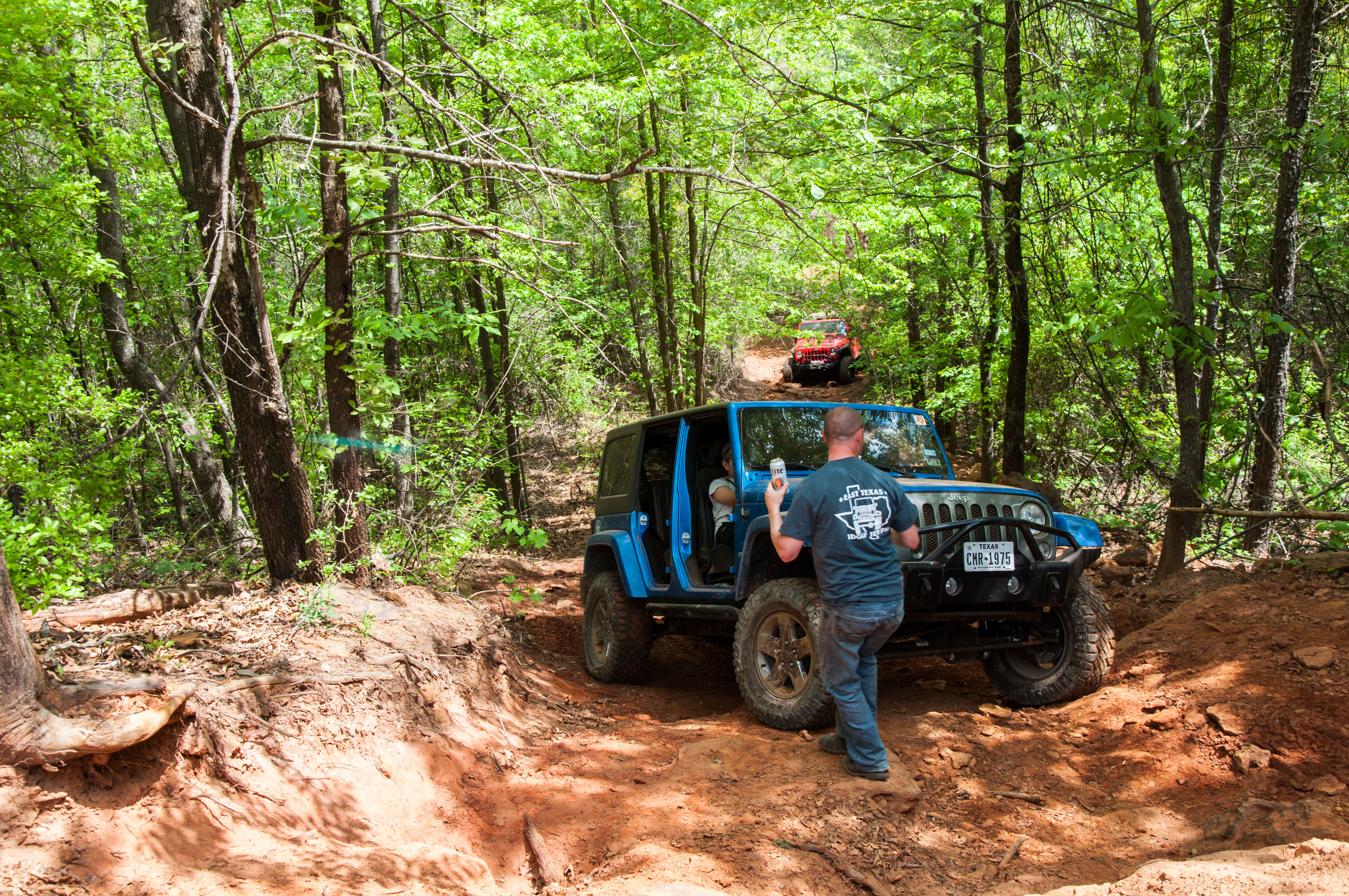
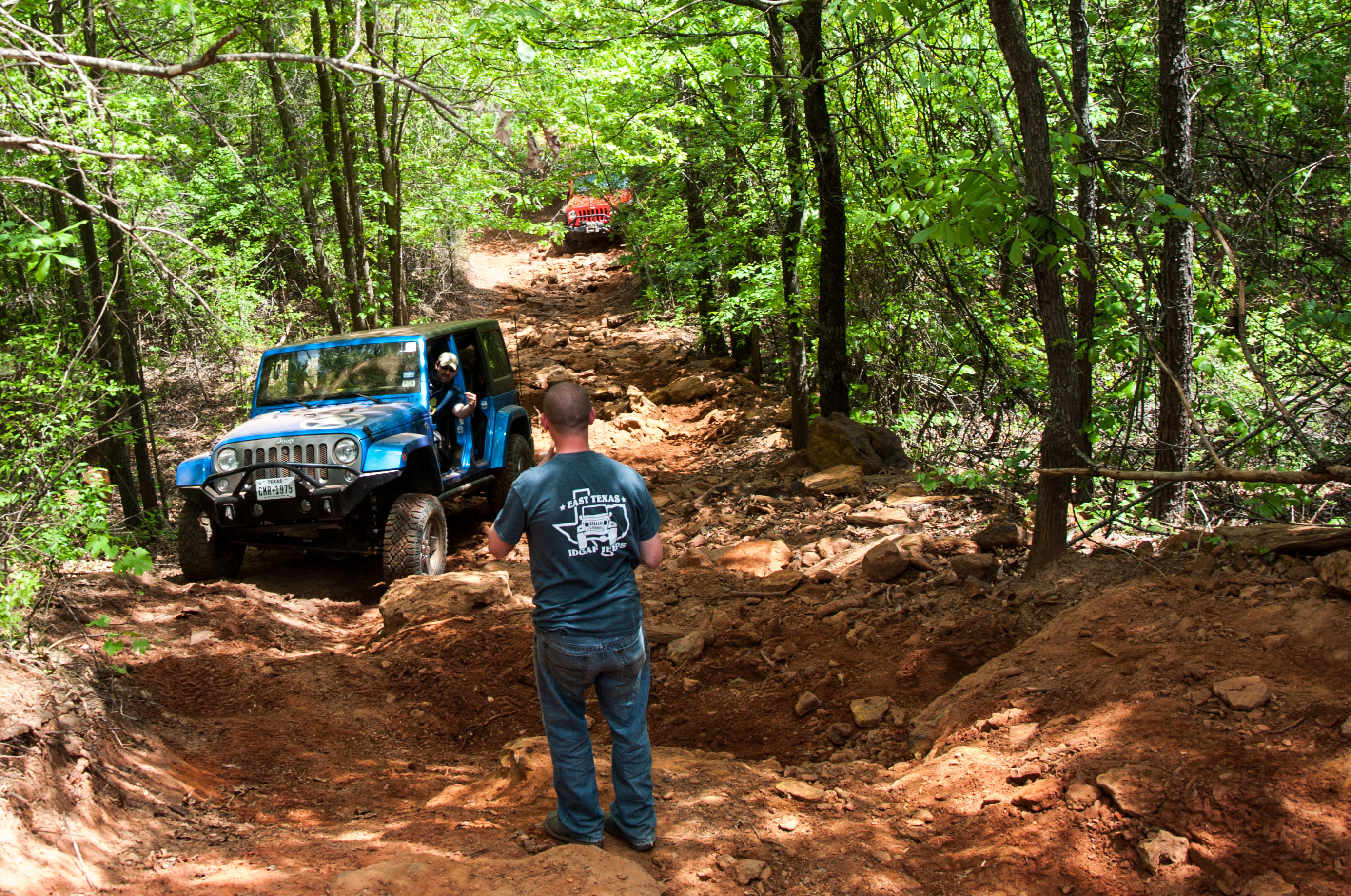
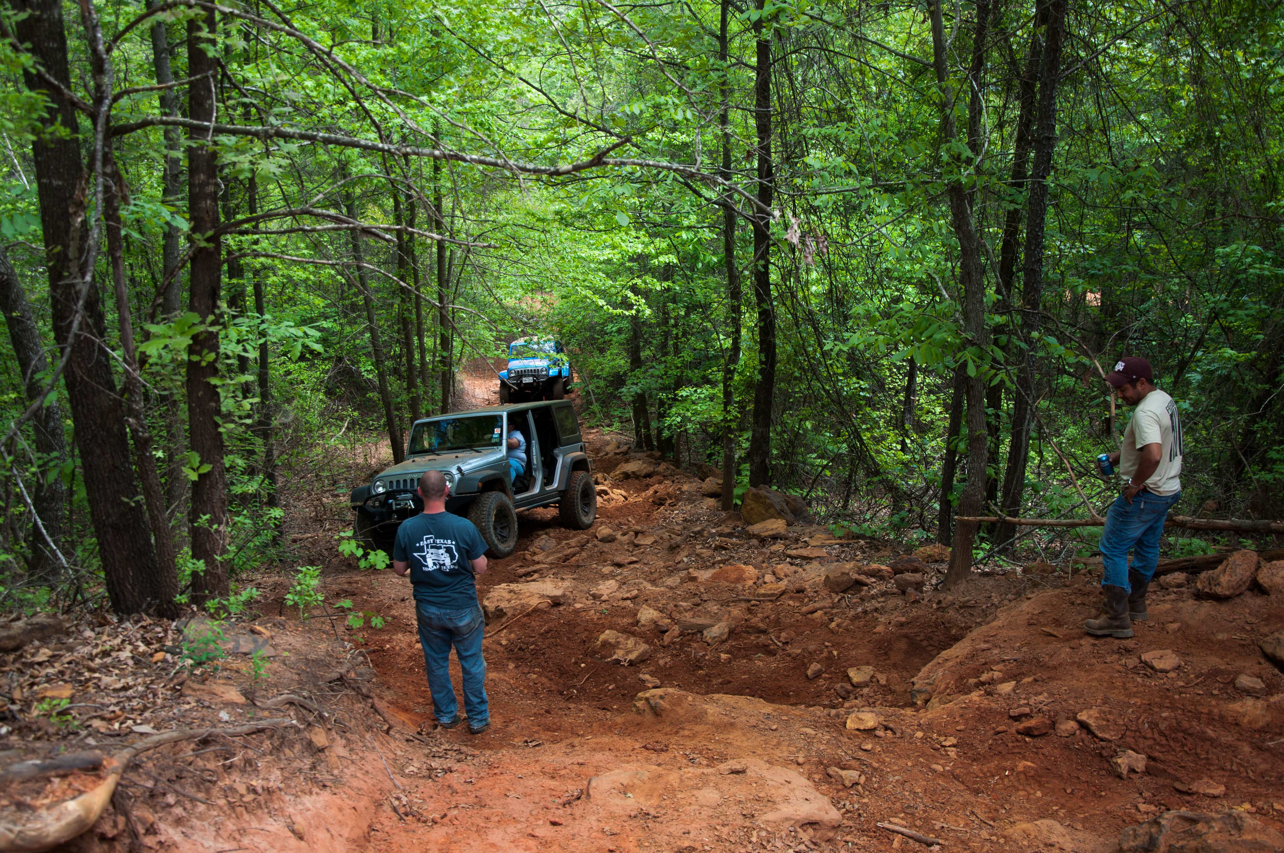
Barnwell mountain off road park
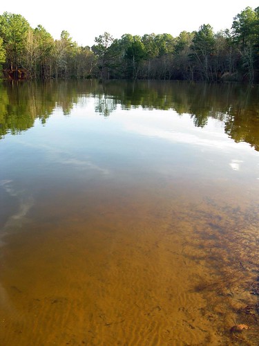
LAKE GLADEWATER
LAKE GLADEWATER

9727 Chipping Sparrow (Spizella passerina)
20140306-PANO_2014P1080750
Barnwell mountain off road park
DSCN0563.JPG
DSC_0593.jpg
DSC_0590.jpg

2013 LSJC Election Run
DSC_0575.jpg
LAKE GLADEWATER
Topographic Map of Bob-O-Link Rd, Gilmer, TX, USA
Find elevation by address:

Places near Bob-O-Link Rd, Gilmer, TX, USA:
Gilmer
3863 Bobwhite Rd
Upshur County
TX-, Gilmer, TX, USA
3175 Crabapple Rd
2781 Fm852
Crabapple Rd, Big Sandy, TX, USA
1561 Ironwood Rd
S Lake Dr, Gilmer, TX, USA
Gilmer, TX, USA
Salter Lane
2226 Holly Rd
3150 Bluebell Rd
2775 Willow Oak Rd
FM, Gilmer, TX, USA
S Live Oak Rd, Gilmer, TX, USA
Dahlia Rd, Gilmer, TX, USA
Bois D'Arc Dr, Diana, TX, USA
906 Texas St
Gladewater
Recent Searches:
- Elevation of Rojo Ct, Atascadero, CA, USA
- Elevation of Flagstaff Drive, Flagstaff Dr, North Carolina, USA
- Elevation of Avery Ln, Lakeland, FL, USA
- Elevation of Woolwine, VA, USA
- Elevation of Lumagwas Diversified Farmers Multi-Purpose Cooperative, Lumagwas, Adtuyon, RV32+MH7, Pangantucan, Bukidnon, Philippines
- Elevation of Homestead Ridge, New Braunfels, TX, USA
- Elevation of Orchard Road, Orchard Rd, Marlborough, NY, USA
- Elevation of 12 Hutchinson Woods Dr, Fletcher, NC, USA
- Elevation of Holloway Ave, San Francisco, CA, USA
- Elevation of Norfolk, NY, USA