Elevation of Union Point Rd, Stephens, GA, USA
Location: United States > Georgia > Oglethorpe County > Maxeys >
Longitude: -83.173961
Latitude: 33.7542737
Elevation: 230m / 755feet
Barometric Pressure: 99KPa
Elevation Map:
Satellite Map:
Related Photos:
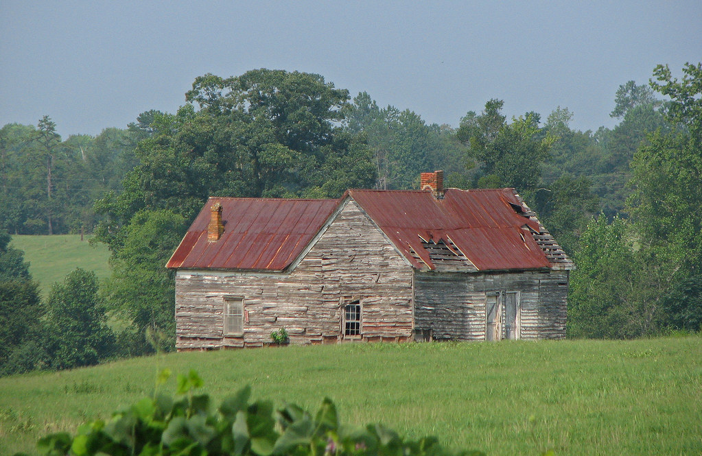
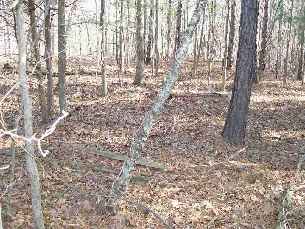
old house in rural georgia

Shaking Rock

SBR_9910W.jpg

SBR_9912W.jpg
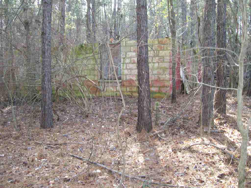
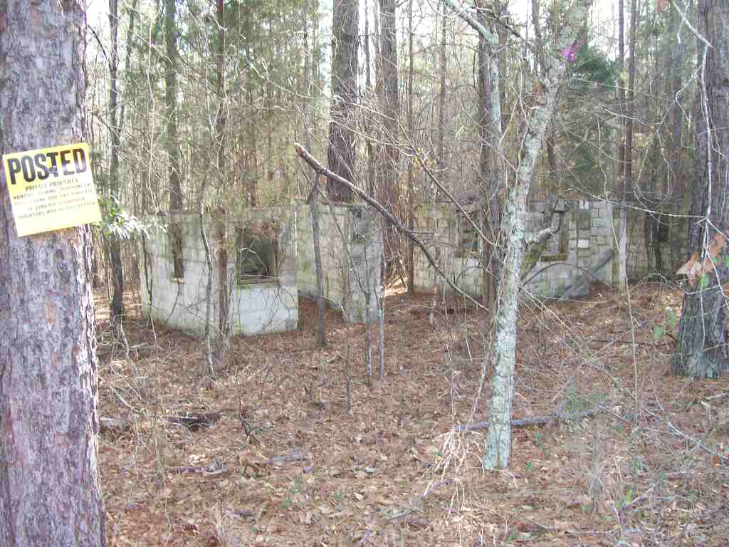
rear of well pump and hot water heater building
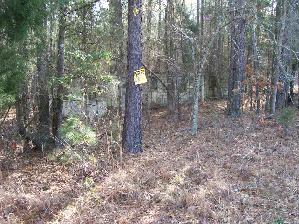
back left of motel office
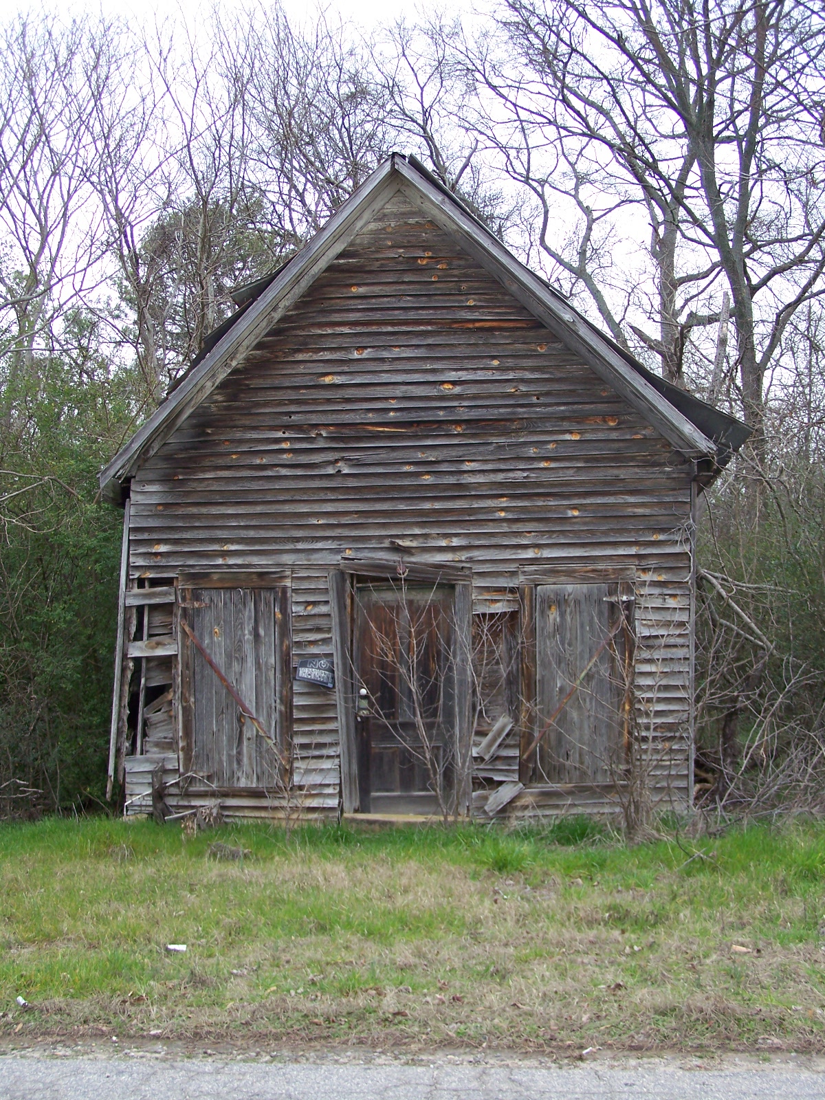
OLD BUILDING
front right of motel office
Manager's House
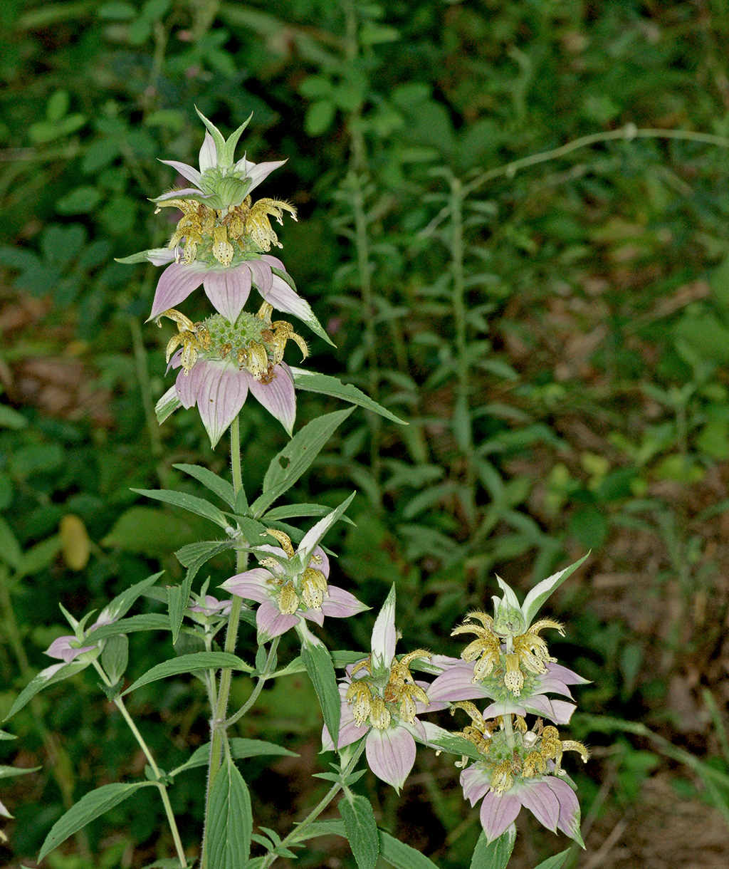
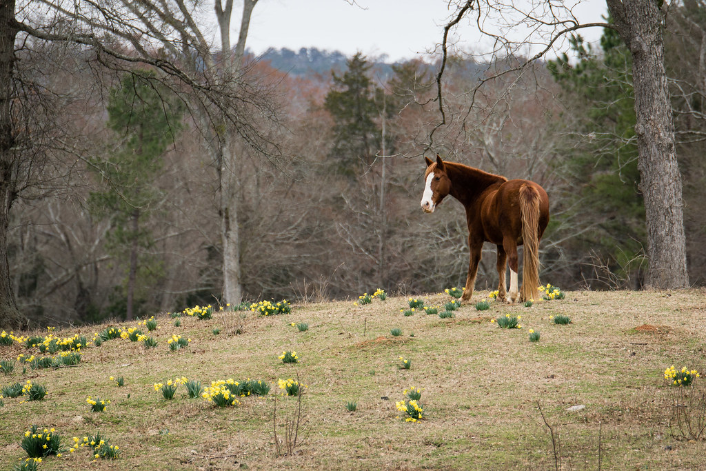
Spotted beebalm - Monarda punctata
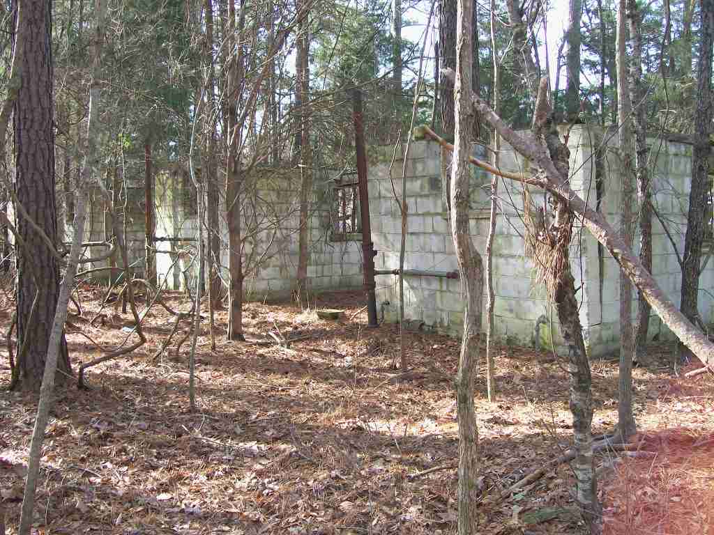
back of 2nd,3rd and 4th rooms
where 1st room used be at....
close of 2nd, 3rd and 4th rooms
2nd,3rd and 4th rooms
Looking for Spring
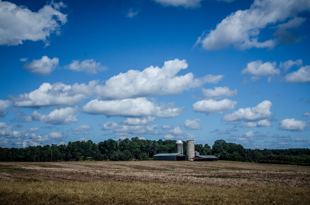
Watkinsville Clouds
Watkinsville Etc-21
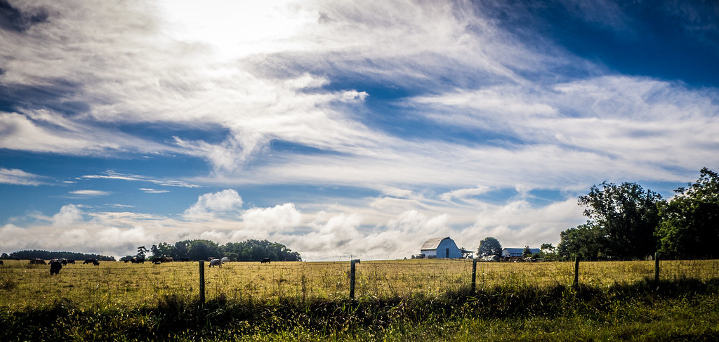
Dyar Pasture Wetlands
Iron Horse-002

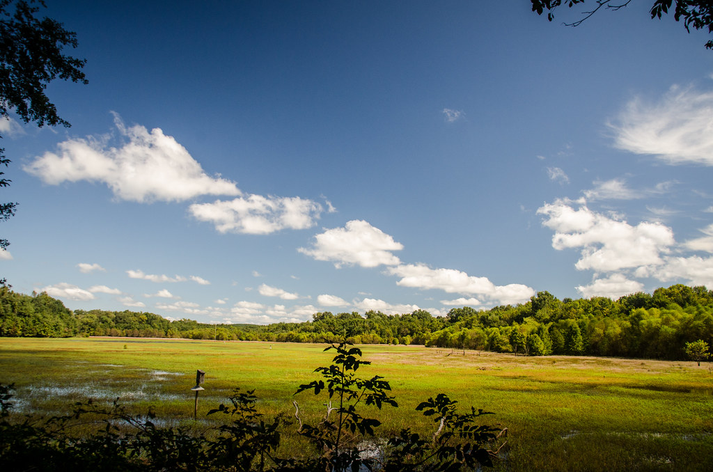
Dyar Pasture Wetlands
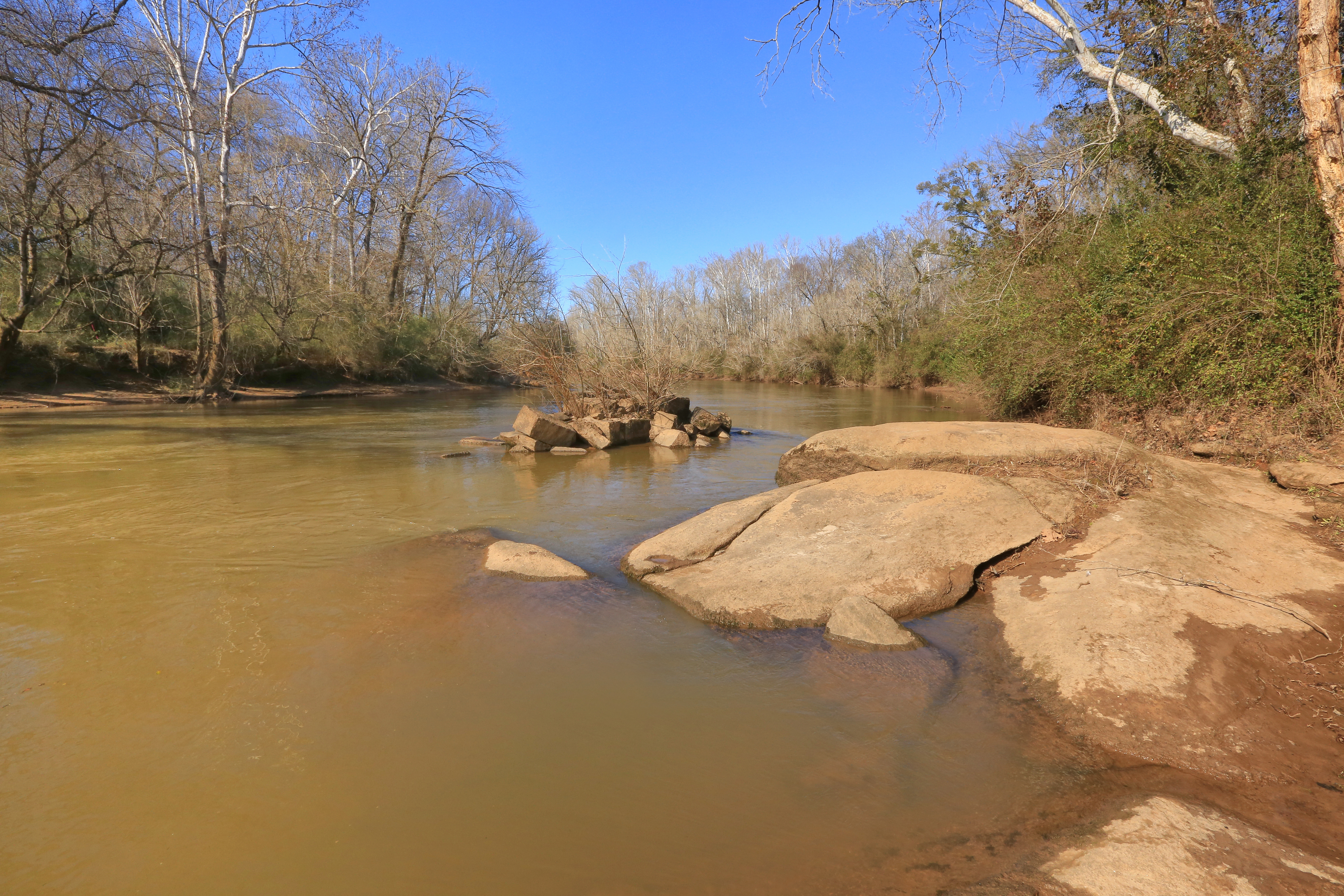
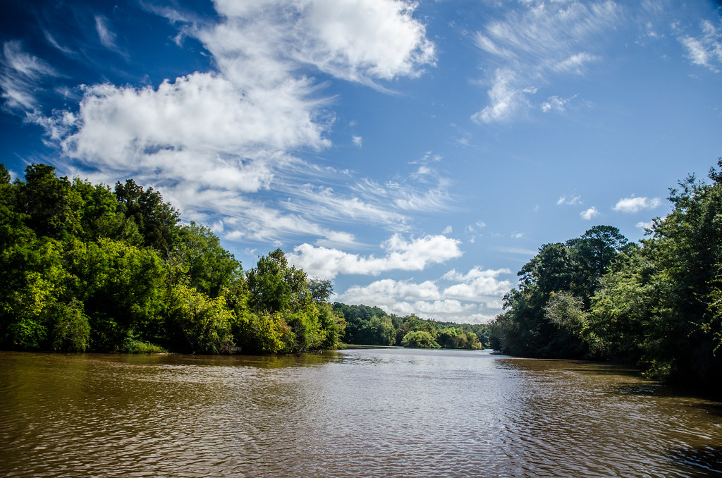
Oconee River, Stone Toll Bridge Pier, Scull Shoals Historic Recreation Area, Oconee National Forest, Greene County, Georgia 1
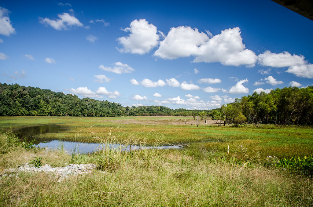
Dyar Pasture Wetlands
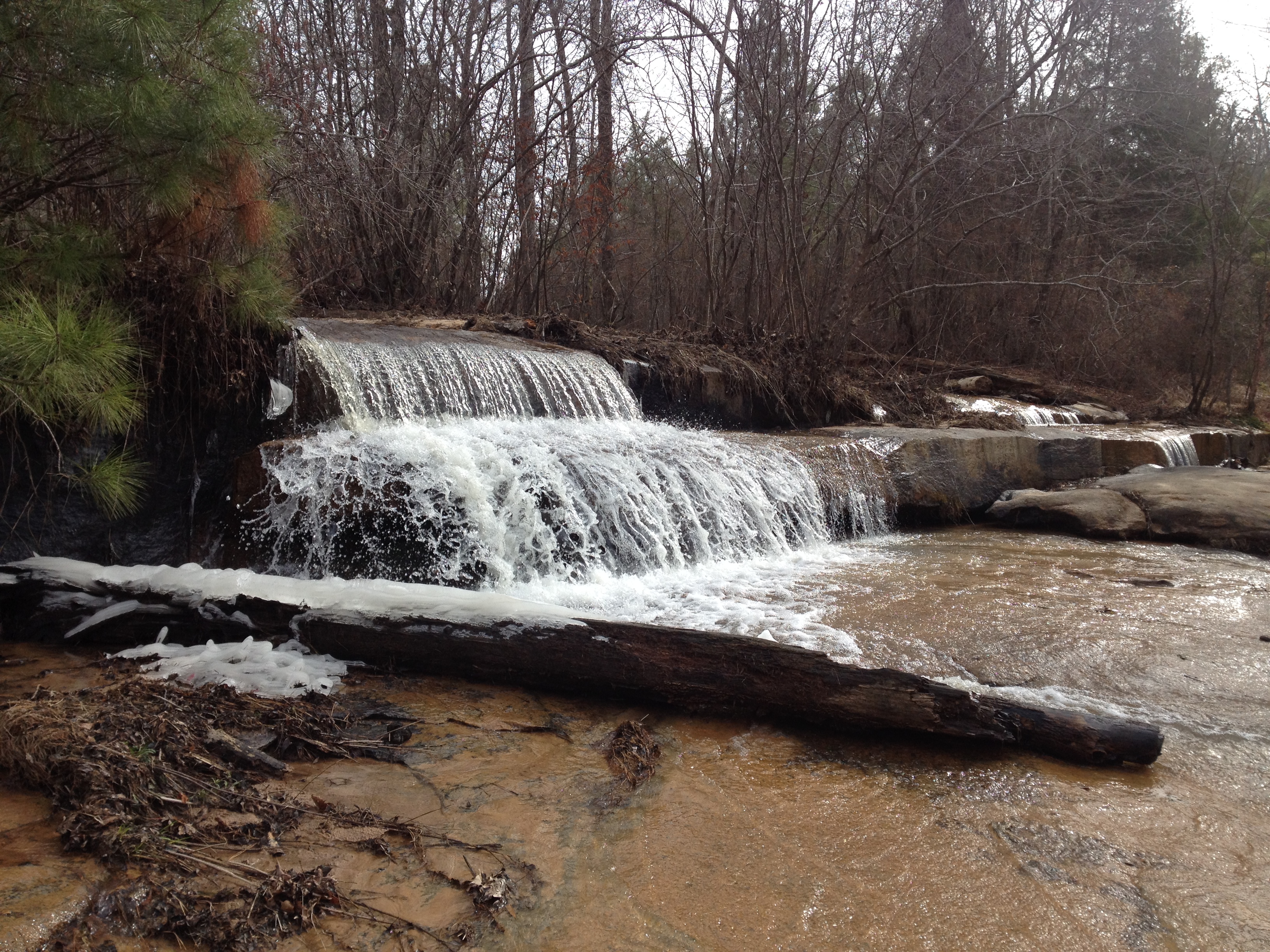
Falling Creek Falls
Topographic Map of Union Point Rd, Stephens, GA, USA
Find elevation by address:

Places near Union Point Rd, Stephens, GA, USA:
Maxeys
Union Point Rd, Stephens, GA, USA
Stephens
Union Point Rd, Crawford, GA, USA
1250 Hutchins Wolfskin Rd
Crawford
Lexington
1181 Marshall-wilkes Rd
1510 Bob Godfrey Rd
30 Steven's Grove Church Rd, Lexington, GA, USA
750 Double Bridges Rd
Arnoldsville
3 Railroad St, Arnoldsville, GA, USA
Yancey Road
Yancy Road
122 Wesley Chapel Rd
156 Hargrove Lake Rd
142 Meyer Farm Rd
1540 Morton Rd
U.s. 78
Recent Searches:
- Elevation of Vista Blvd, Sparks, NV, USA
- Elevation of 15th Ave SE, St. Petersburg, FL, USA
- Elevation of Beall Road, Beall Rd, Florida, USA
- Elevation of Leguwa, Nepal
- Elevation of County Rd, Enterprise, AL, USA
- Elevation of Kolchuginsky District, Vladimir Oblast, Russia
- Elevation of Shustino, Vladimir Oblast, Russia
- Elevation of Lampiasi St, Sarasota, FL, USA
- Elevation of Elwyn Dr, Roanoke Rapids, NC, USA
- Elevation of Congressional Dr, Stevensville, MD, USA