Elevation of Maxeys, GA, USA
Location: United States > Georgia > Oglethorpe County >
Longitude: -83.173487
Latitude: 33.7542889
Elevation: 229m / 751feet
Barometric Pressure: 99KPa
Elevation Map:
Satellite Map:
Related Photos:
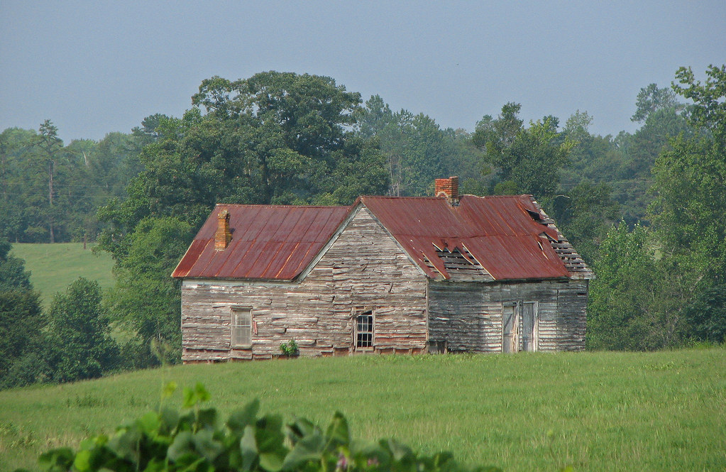
old house in rural georgia

Shaking Rock
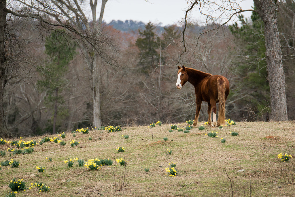
Looking for Spring
Watkinsville Clouds

SBR_9910W.jpg
Watkinsville Etc-21
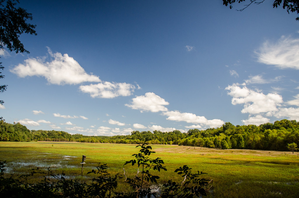
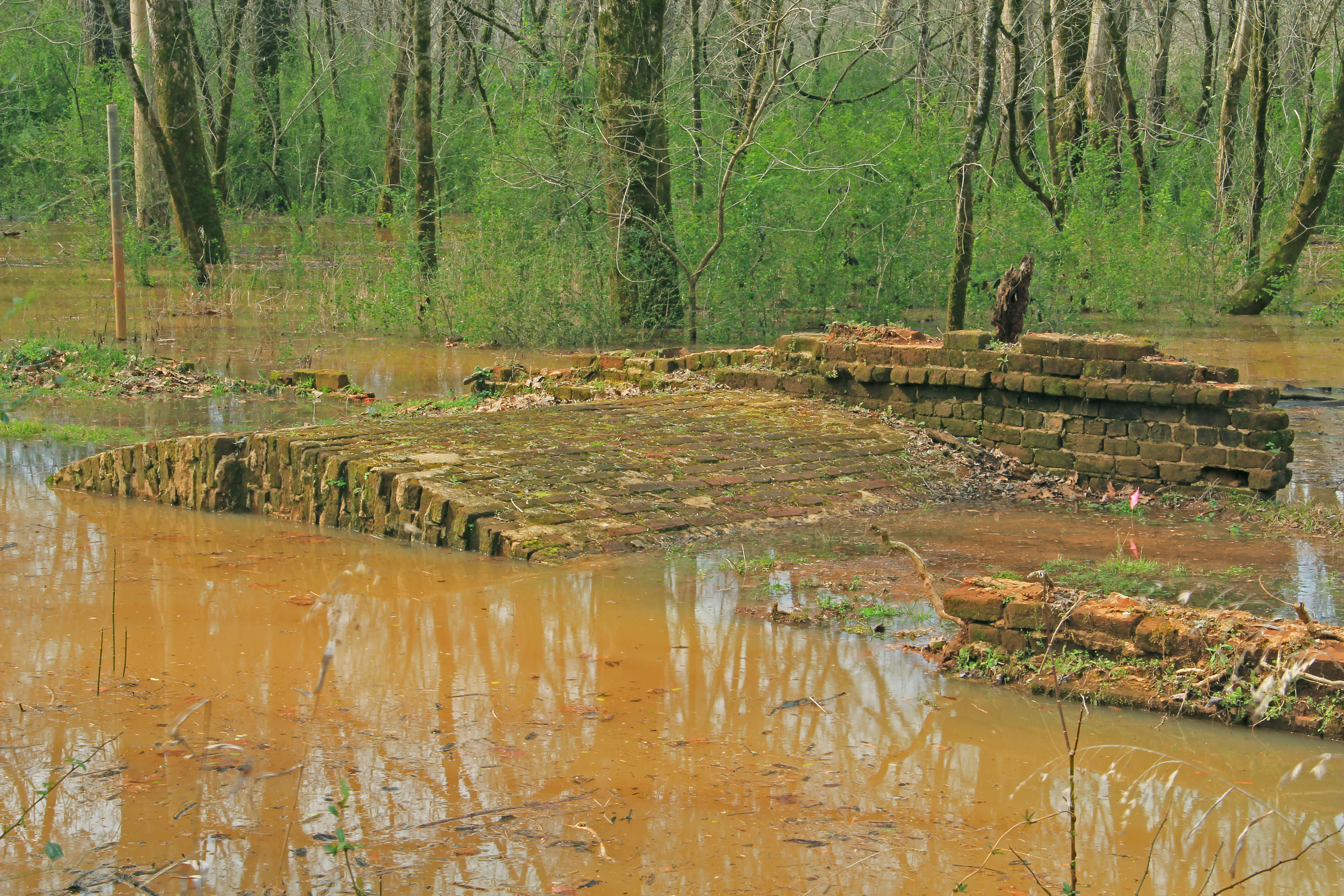
Dyar Pasture Wetlands
Iron Horse-002

Dyar Pasture Wetlands
Oconee River, Stone Toll Bridge Pier, Scull Shoals Historic Recreation Area, Oconee National Forest, Greene County, Georgia 1
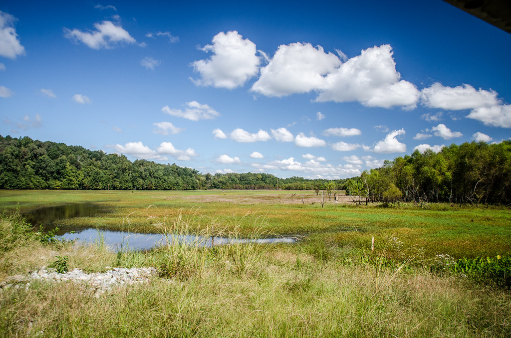
Dyar Pasture Wetlands
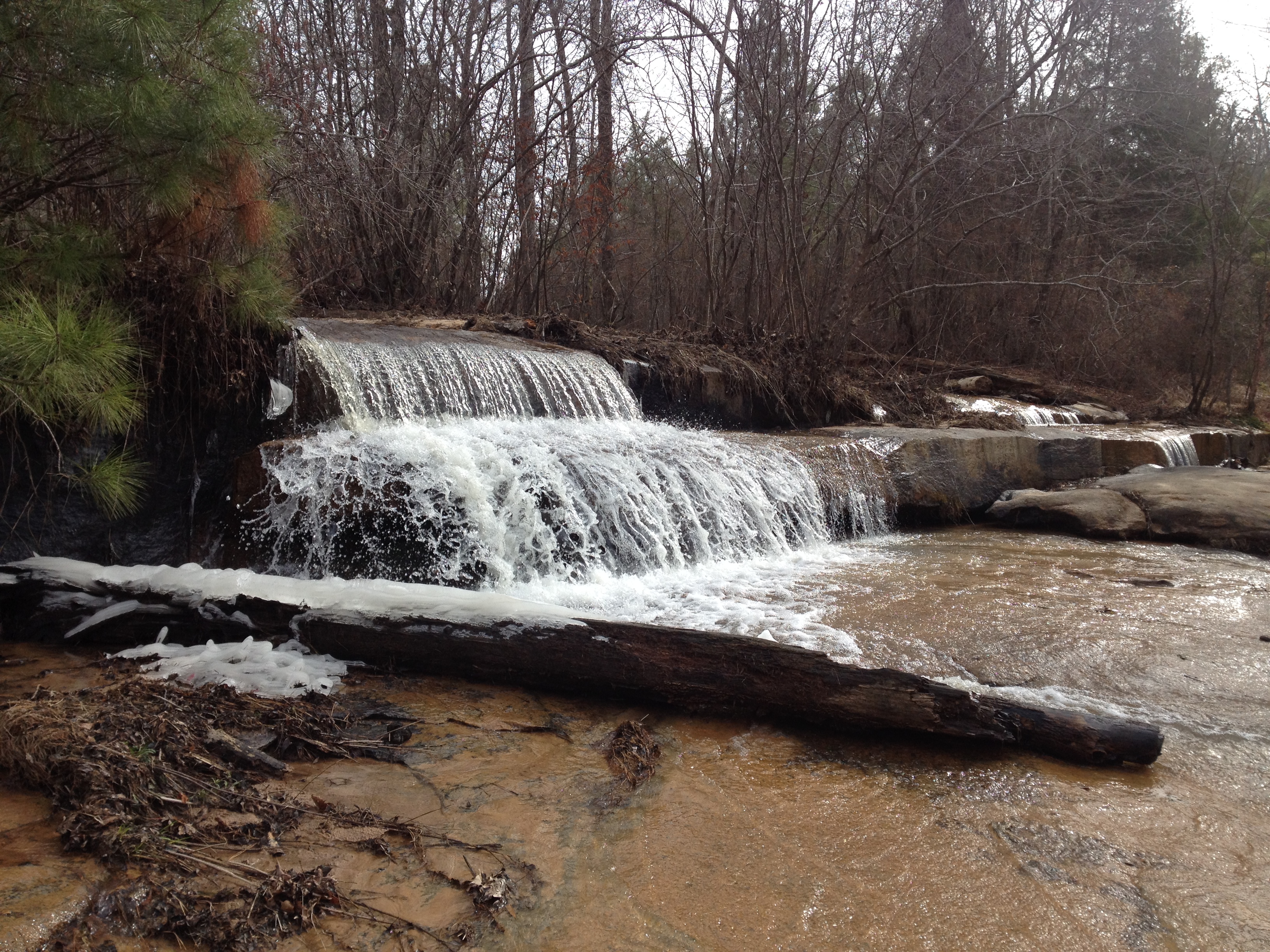
Falling Creek Falls
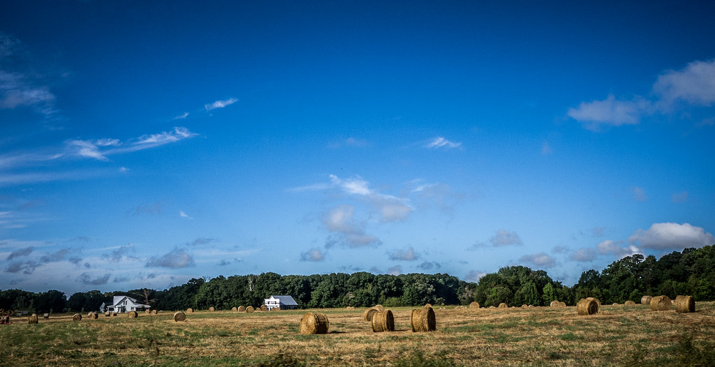
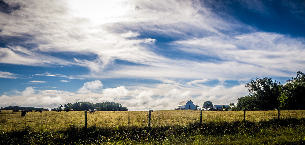
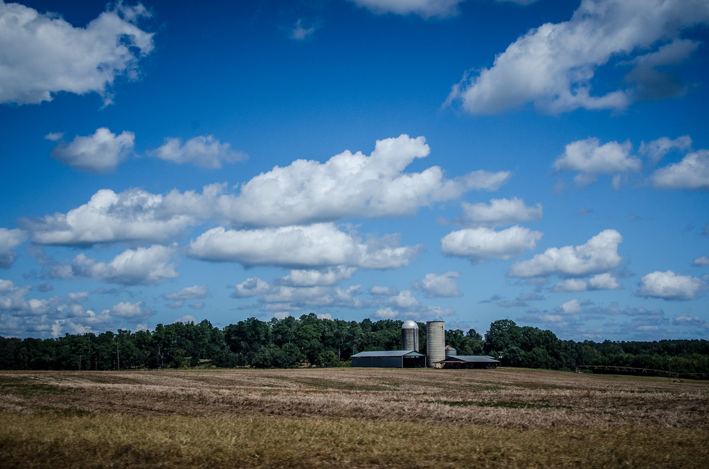
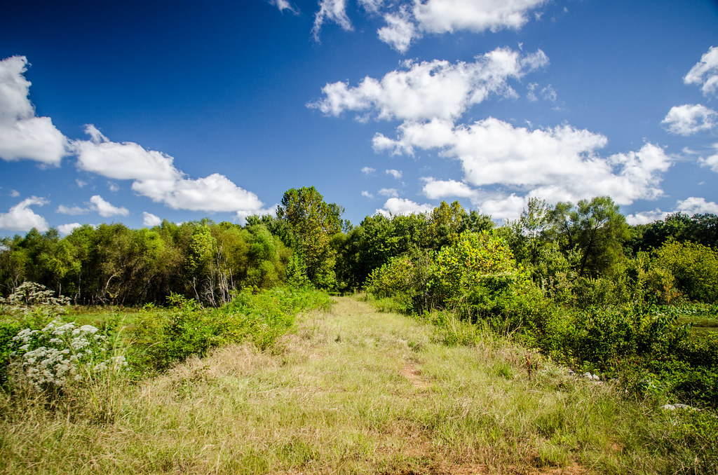
Watkinsville Farmland
"As long as I live, I'll hear waterfalls and birds and winds sing. I'll interpret the rocks, learn the language of flood, storm, and the avalanche. I'll acquaint myself with the glaciers and wild gardens, and get as near the heart of the world as I can" -
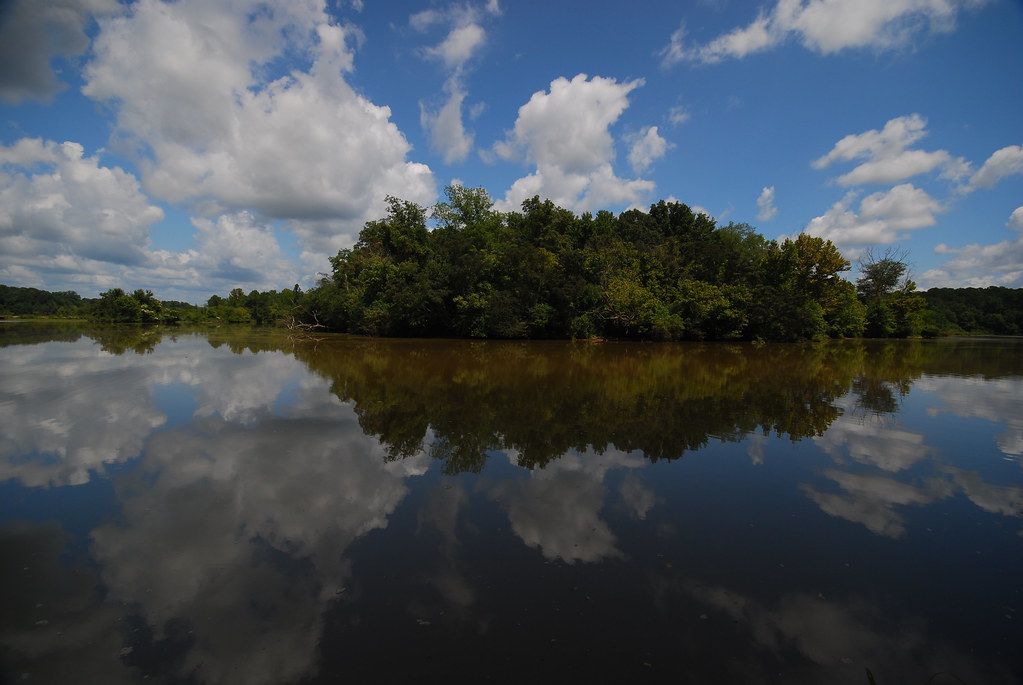
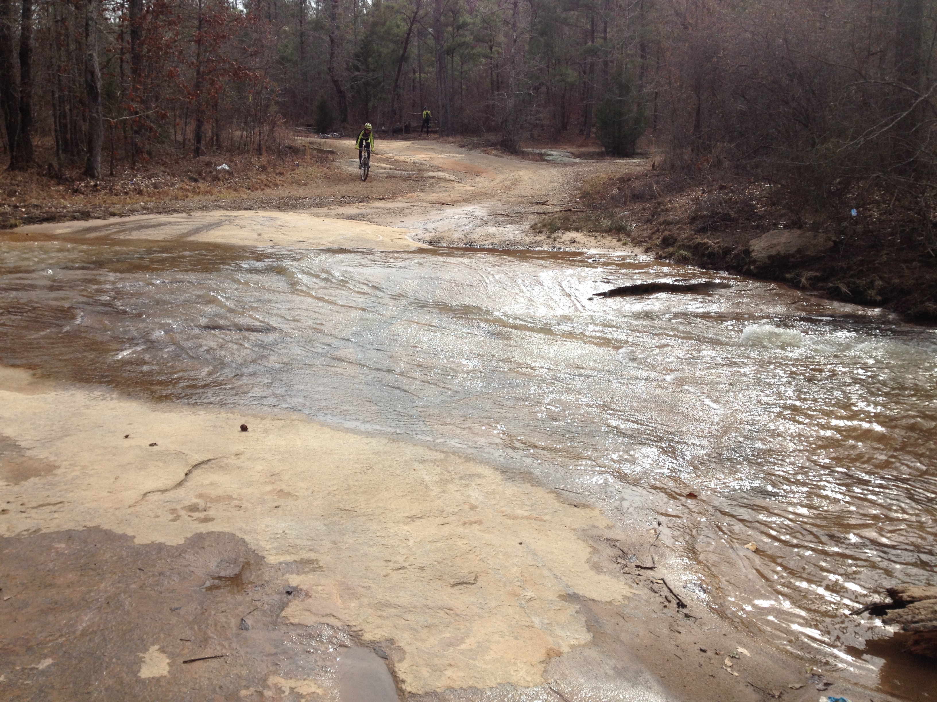
oconee river at dyars pasture
Dyar Pasture Dike
Arched Bridge, Scull Shoals Historic Site, Oconee National Forest, Greene County, Georgia 1

Iron Horse
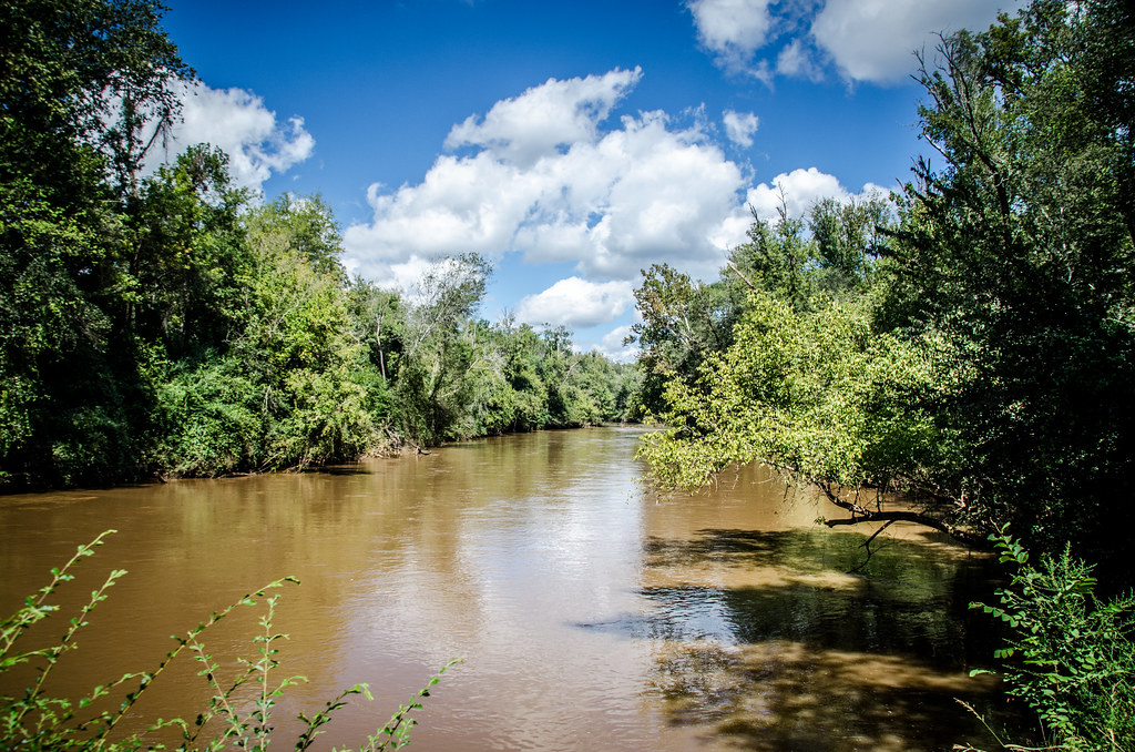
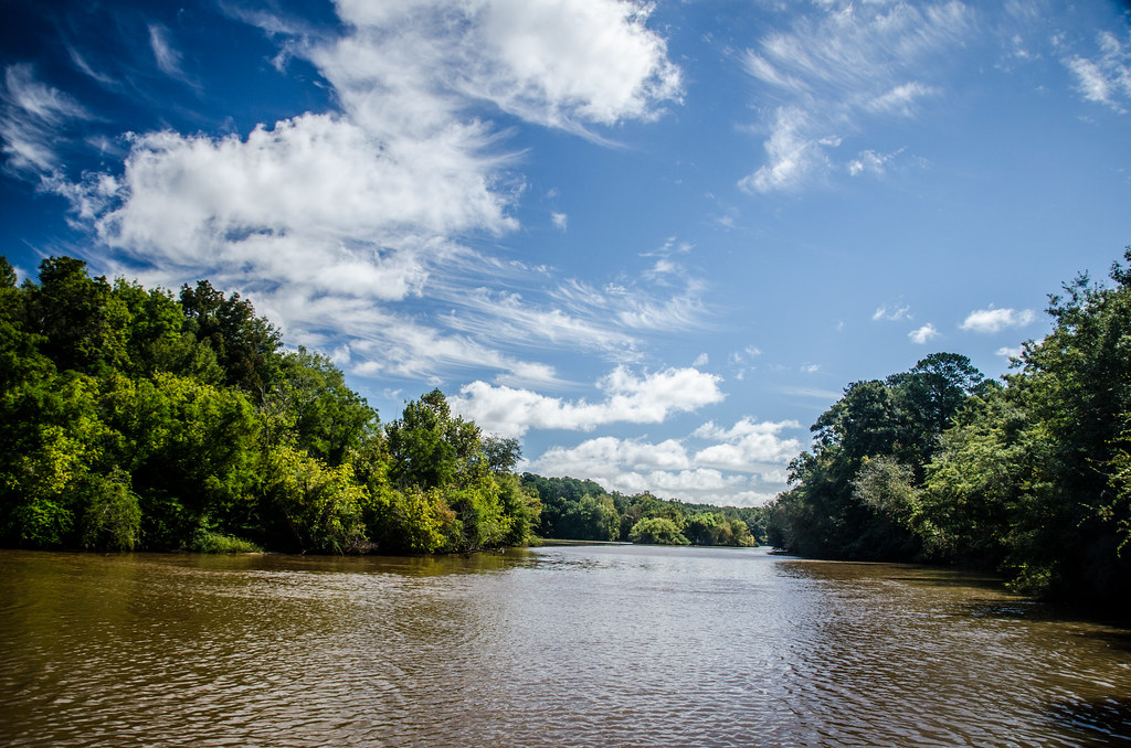
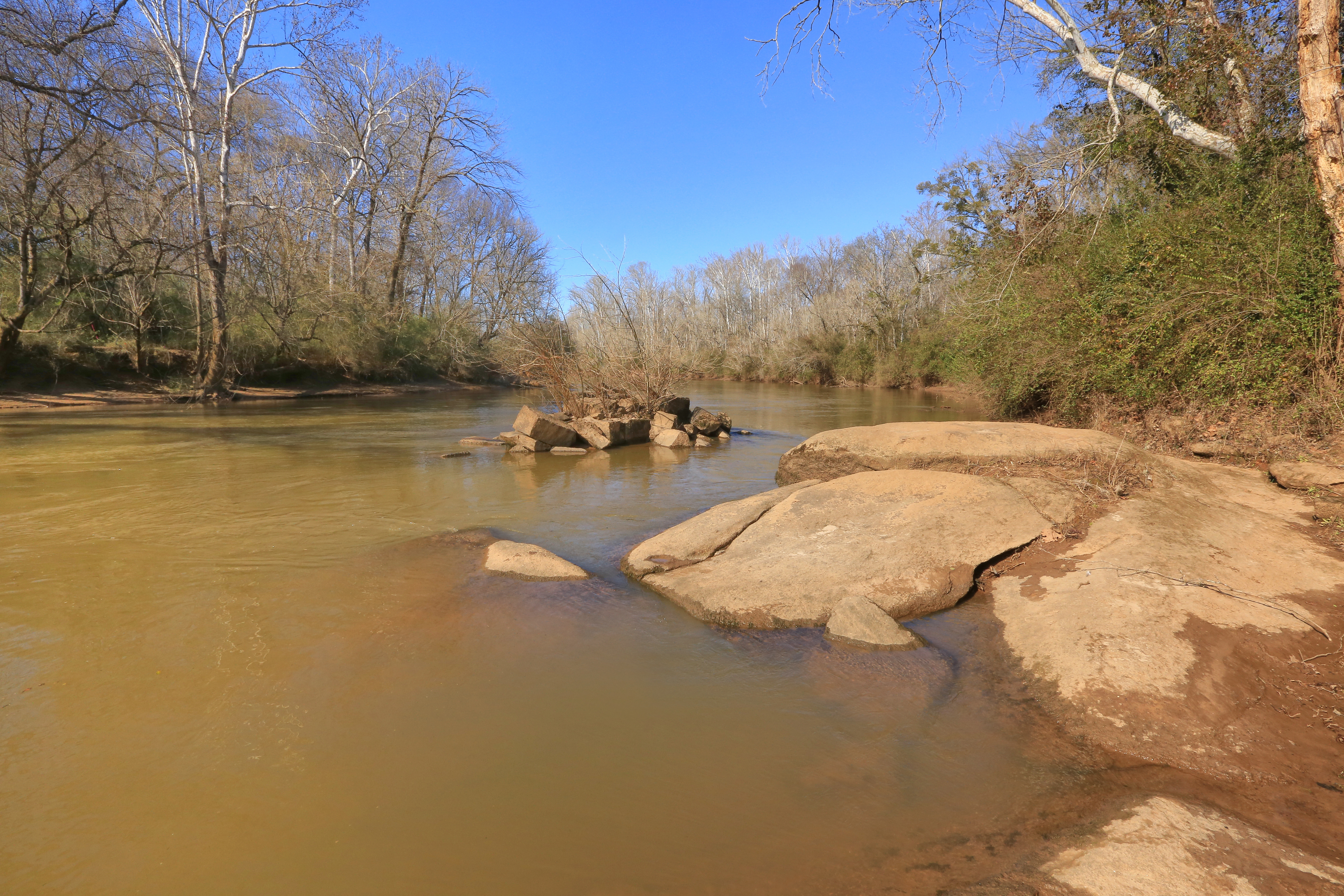
Oconee River - Watkinsville
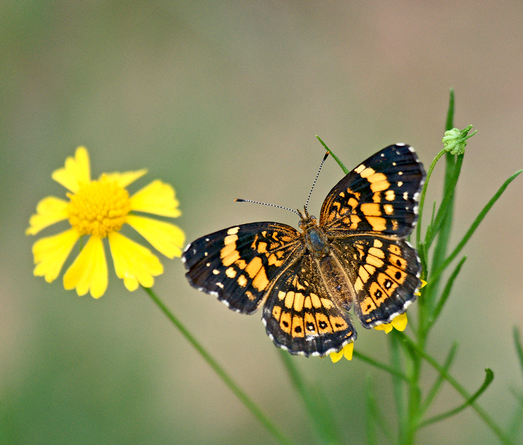
Silvery Checkerspot (Chlosyne nycteis)
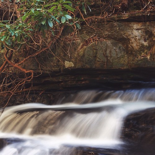
Falling Creek Shoal
SOMETHING IN TOP LEFT CORNER

Horse sculpture
Topographic Map of Maxeys, GA, USA
Find elevation by address:

Places in Maxeys, GA, USA:
Places near Maxeys, GA, USA:
Union Point Rd, Stephens, GA, USA
Union Point Rd, Stephens, GA, USA
Stephens
Union Point Rd, Crawford, GA, USA
1250 Hutchins Wolfskin Rd
Crawford
Lexington
1181 Marshall-wilkes Rd
30 Steven's Grove Church Rd, Lexington, GA, USA
1510 Bob Godfrey Rd
750 Double Bridges Rd
Arnoldsville
3 Railroad St, Arnoldsville, GA, USA
Yancey Road
Yancy Road
122 Wesley Chapel Rd
156 Hargrove Lake Rd
142 Meyer Farm Rd
1540 Morton Rd
U.s. 78
Recent Searches:
- Elevation of Vista Blvd, Sparks, NV, USA
- Elevation of 15th Ave SE, St. Petersburg, FL, USA
- Elevation of Beall Road, Beall Rd, Florida, USA
- Elevation of Leguwa, Nepal
- Elevation of County Rd, Enterprise, AL, USA
- Elevation of Kolchuginsky District, Vladimir Oblast, Russia
- Elevation of Shustino, Vladimir Oblast, Russia
- Elevation of Lampiasi St, Sarasota, FL, USA
- Elevation of Elwyn Dr, Roanoke Rapids, NC, USA
- Elevation of Congressional Dr, Stevensville, MD, USA