Elevation of Hargrove Lake Rd, Crawford, GA, USA
Location: United States > Georgia > Oglethorpe County > Crawford >
Longitude: -83.166207
Latitude: 33.921481
Elevation: 219m / 719feet
Barometric Pressure: 99KPa
Elevation Map:
Satellite Map:
Related Photos:
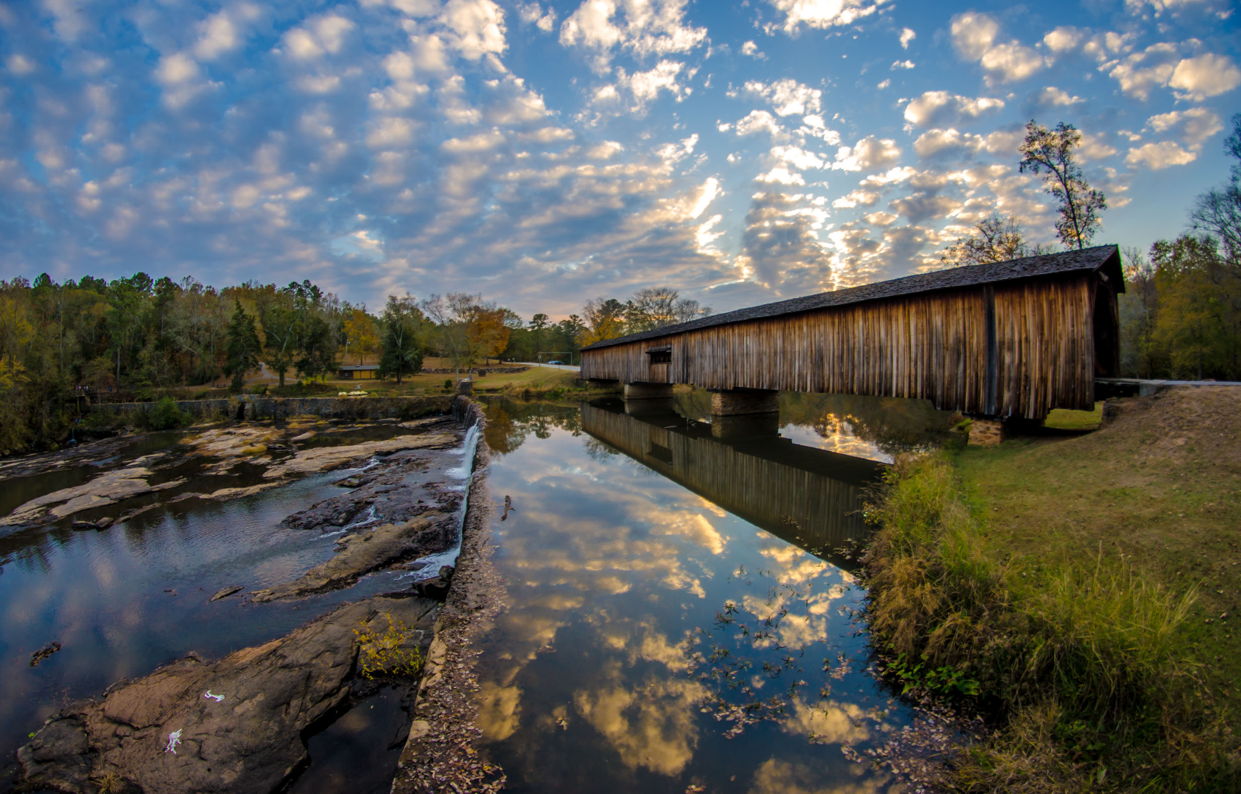
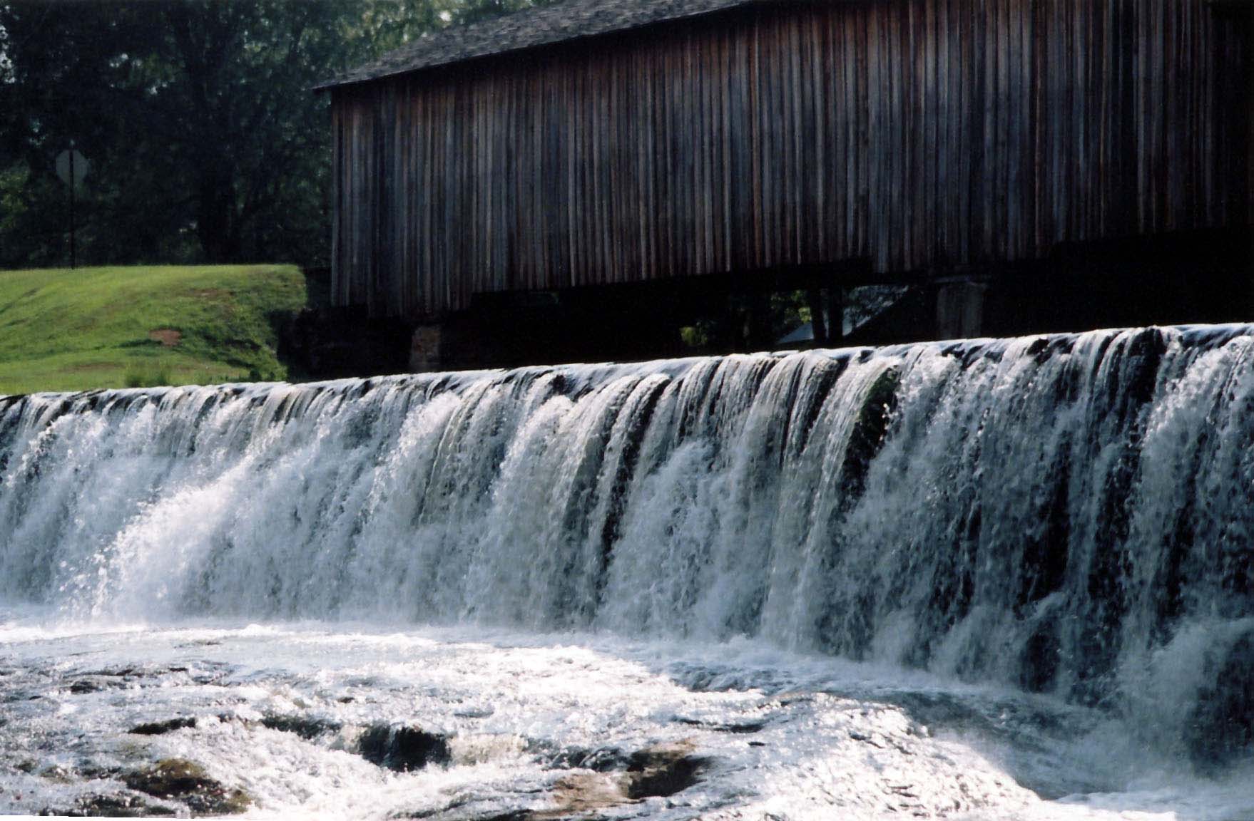
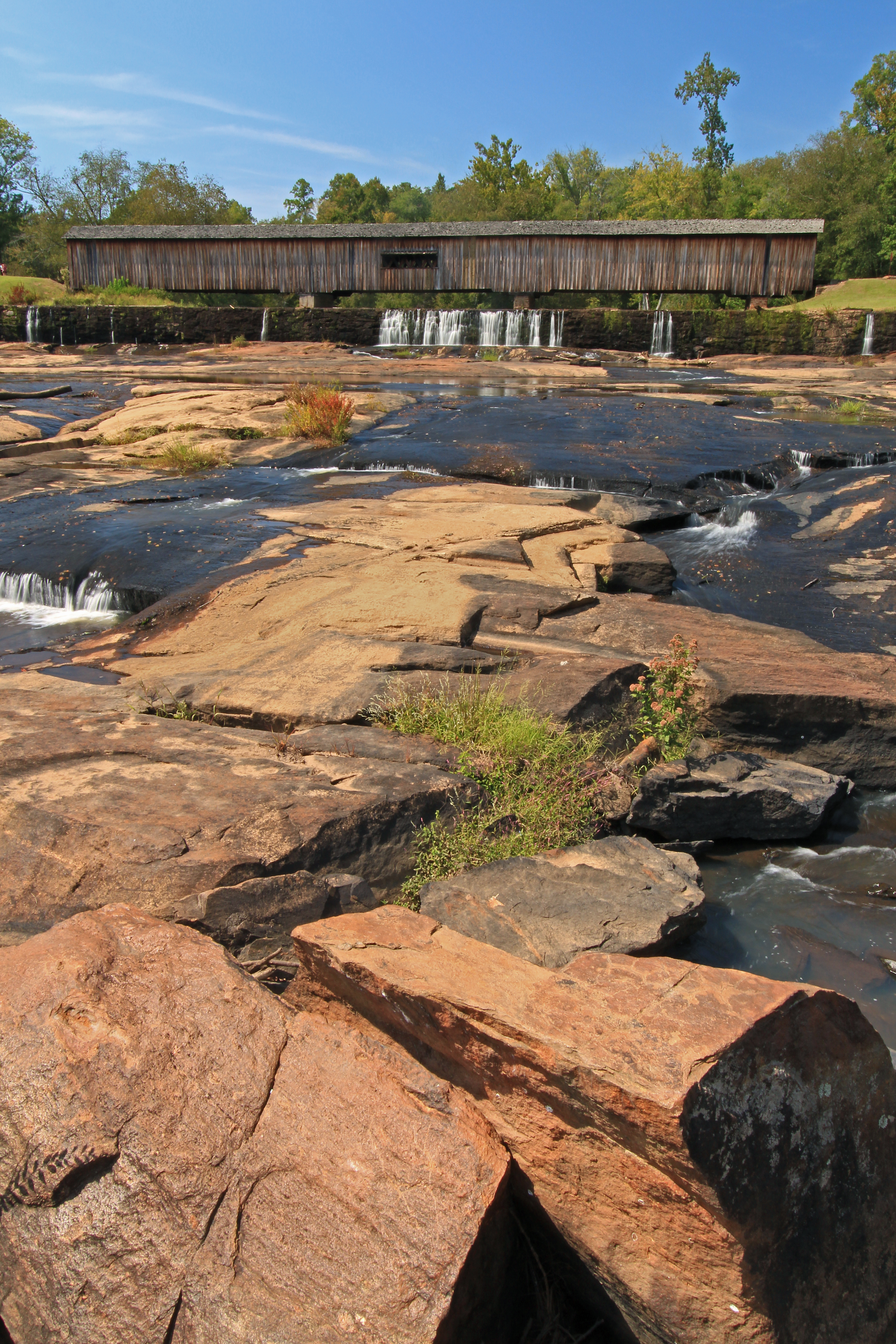
Watson Mill Covered Bridge

Watson Mill Covered Bridge

Watson Mill Covered Bridge
Watson Mill Covered Bridge
Lifetime Bond 2
One of many incredible views out at #springvalleyecofarms #newearthcoop #myathens

Watson Mill Covered Bridge
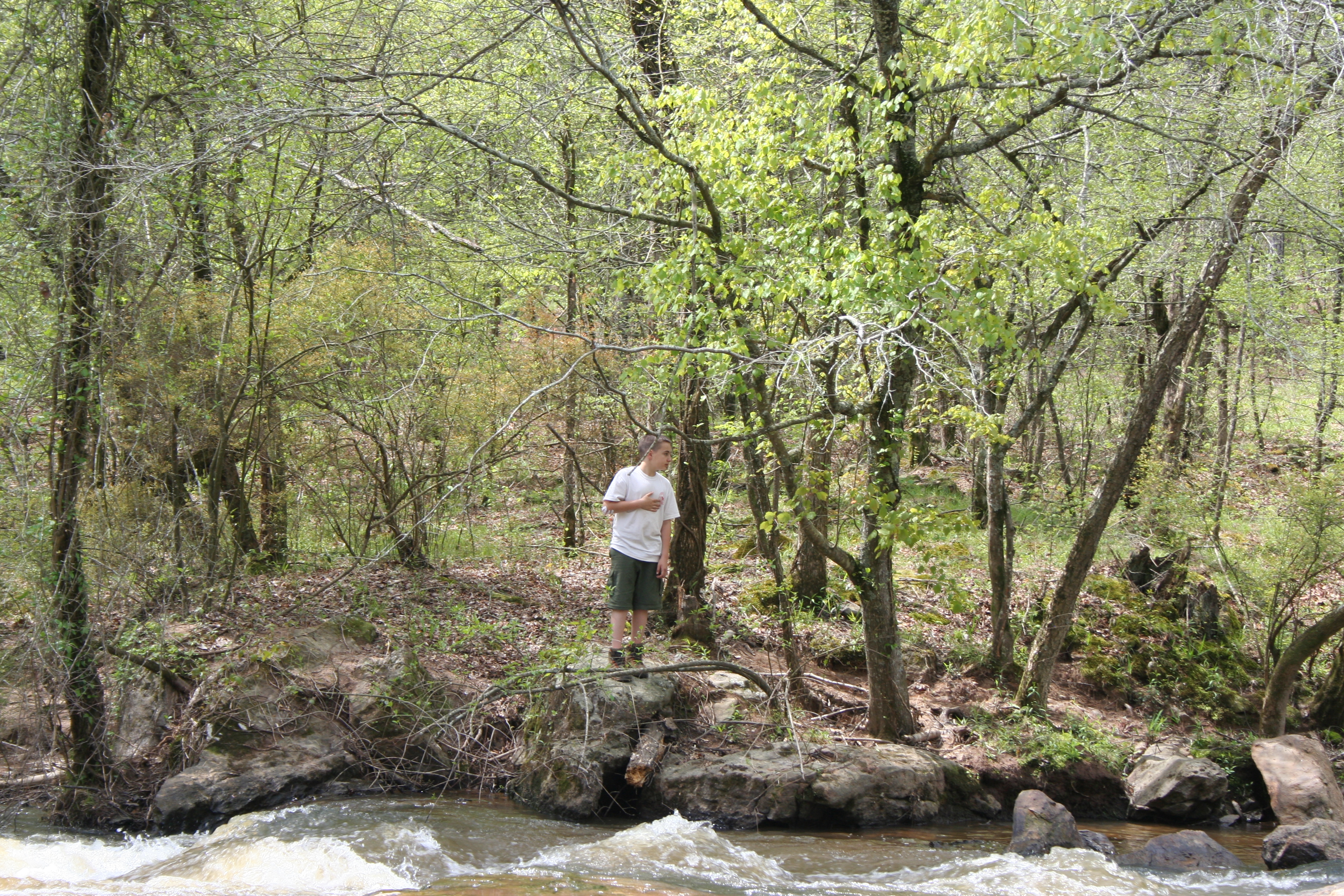
Easter091stboyscoutcampFlowersetc 224
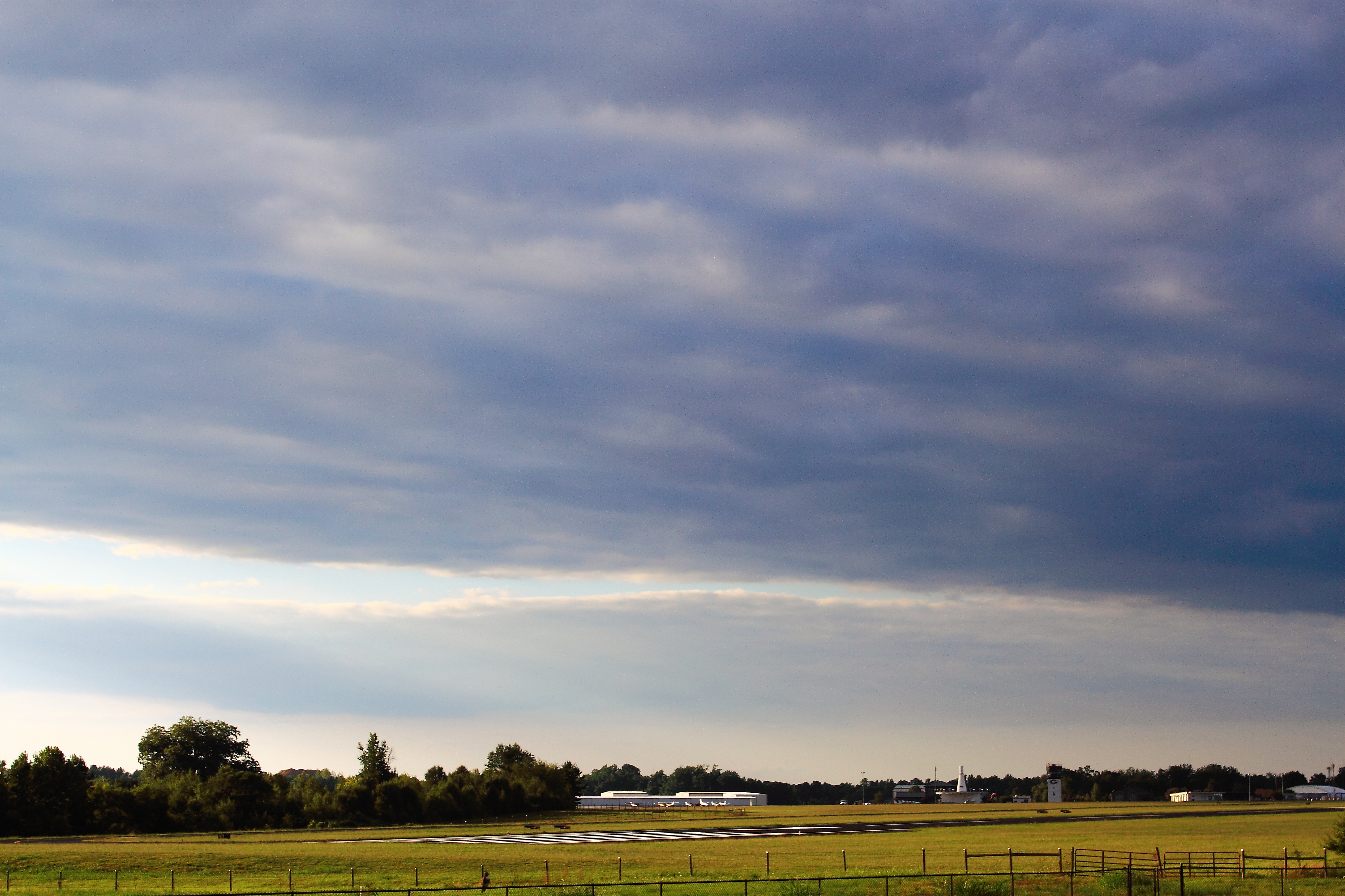
Skies Over Ben Epps
Water under the Bridge

SBR_9910W.jpg
Watson Mill Covered Bridge- Madison County GA (7)
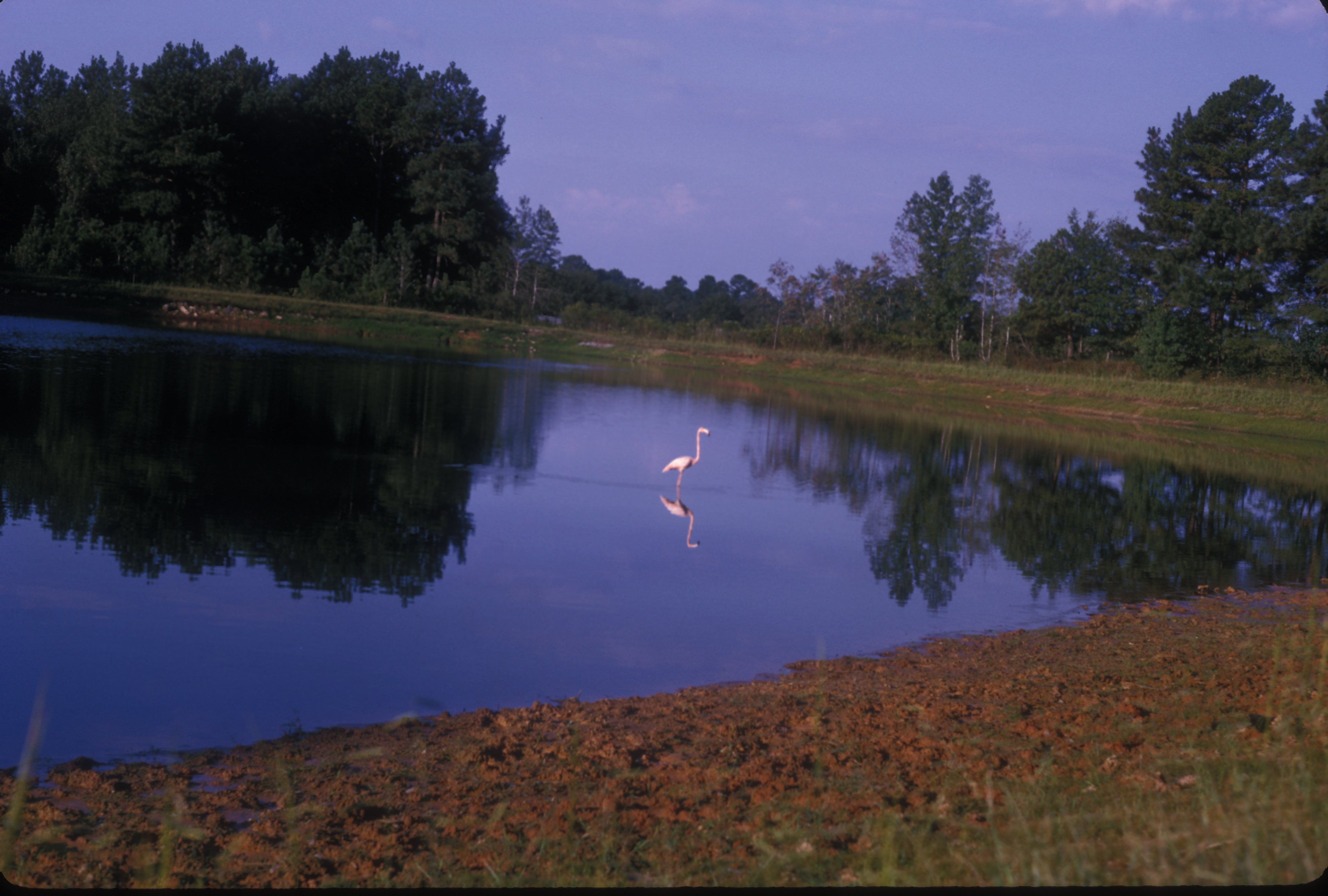
American Flamingo. GMNH 6310. Lago Lake, Clarke County, 25 September 1965. Photo by W. Wilson Baker

South Fork Broad River, Watson Mill Bridge State Park, Madison and Oglethorpe Counties, Georgia 3
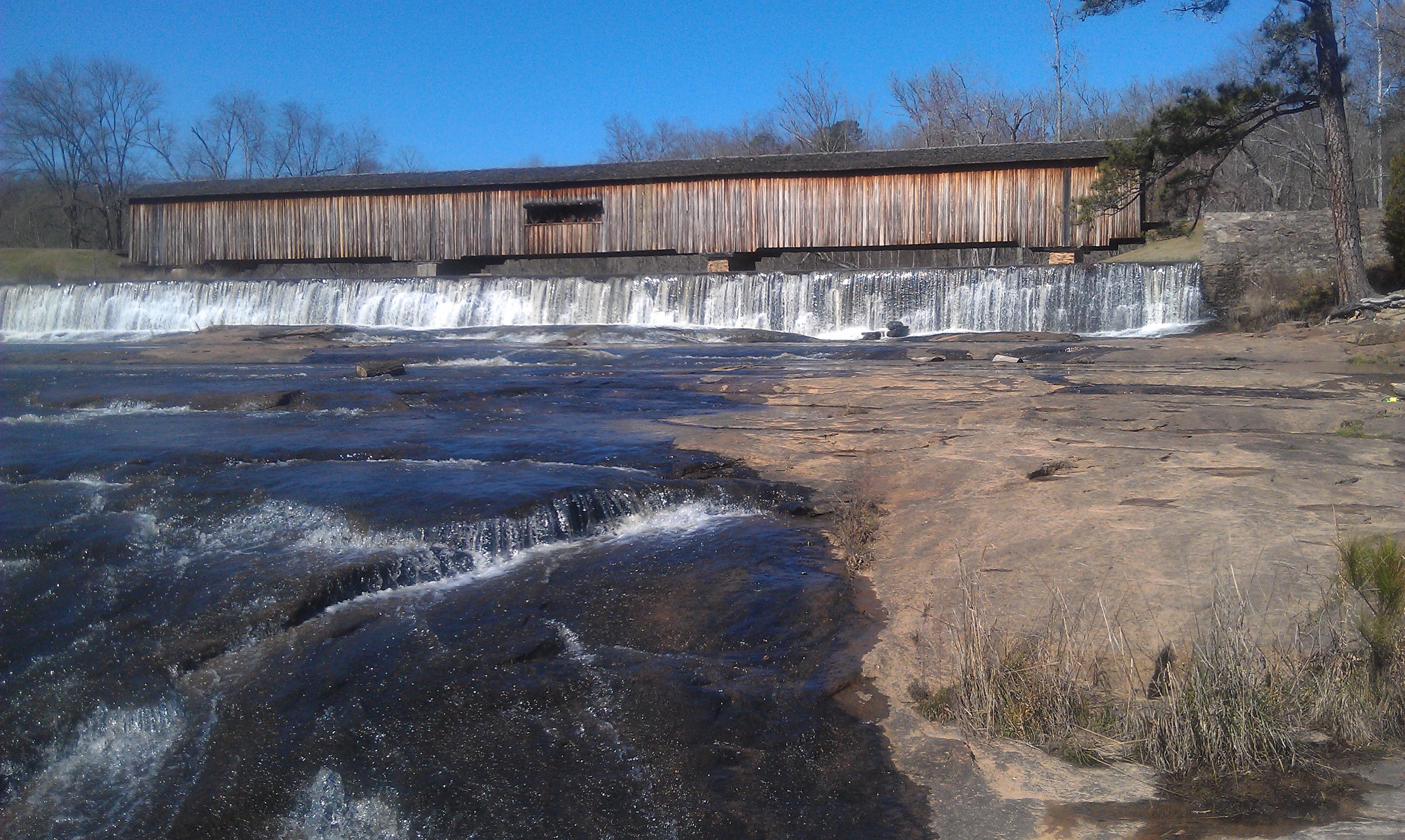
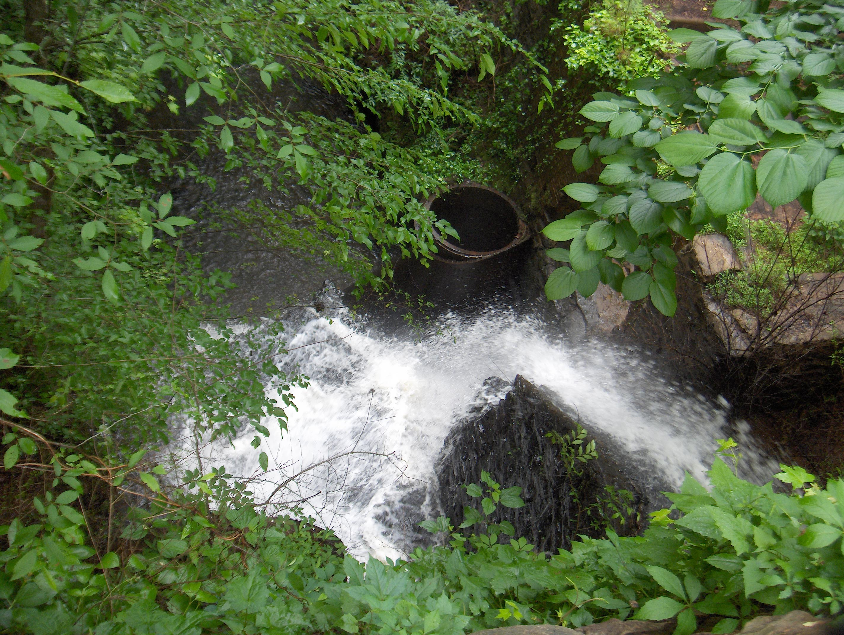
Watson Mill Bridge Waterfall 2
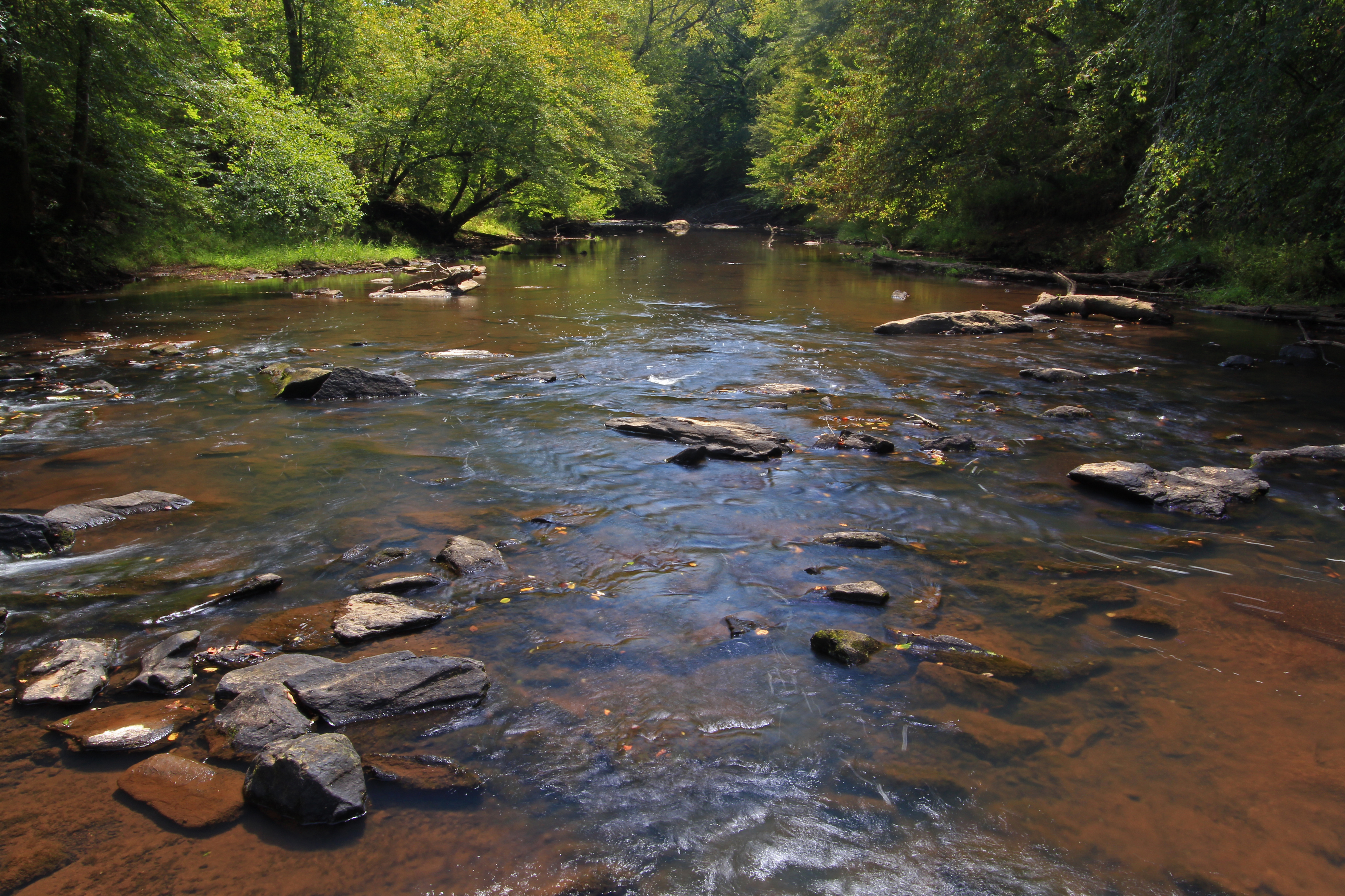
South Fork Broad River, Watson Mill Bridge State Park, Madison and Oglethorpe Counties, Georgia 4
771 Hydroelectric Power House Img_3944
Watson Mill Bridge, South Fork Broad River, Watson Mill Bridge State Park, Madison and Oglethorpe Counties, Georgia 4
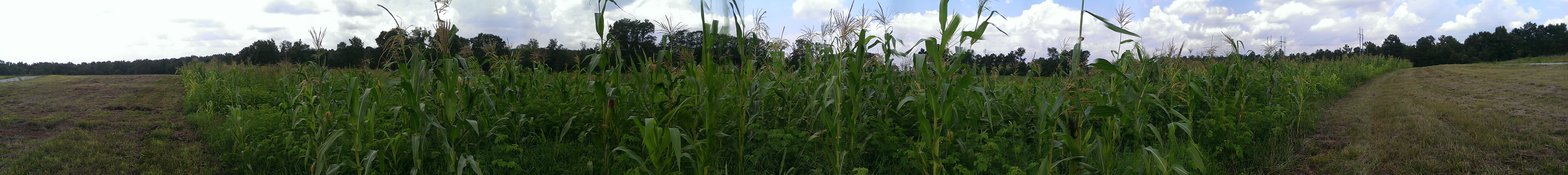
#springvalleyecofarms #newearthcoop #myathens
georgia highway 22
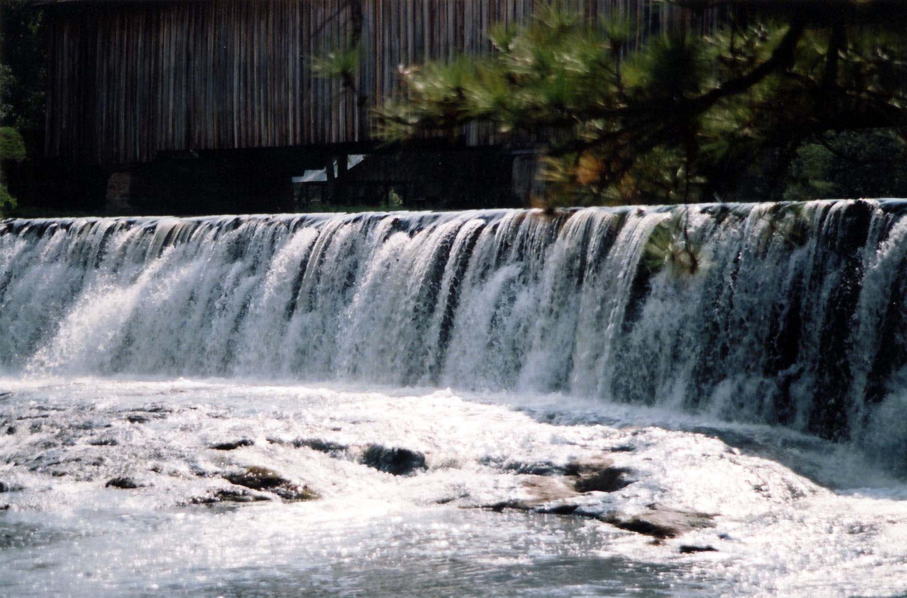
Watson Mill Bridge Waterfall 1
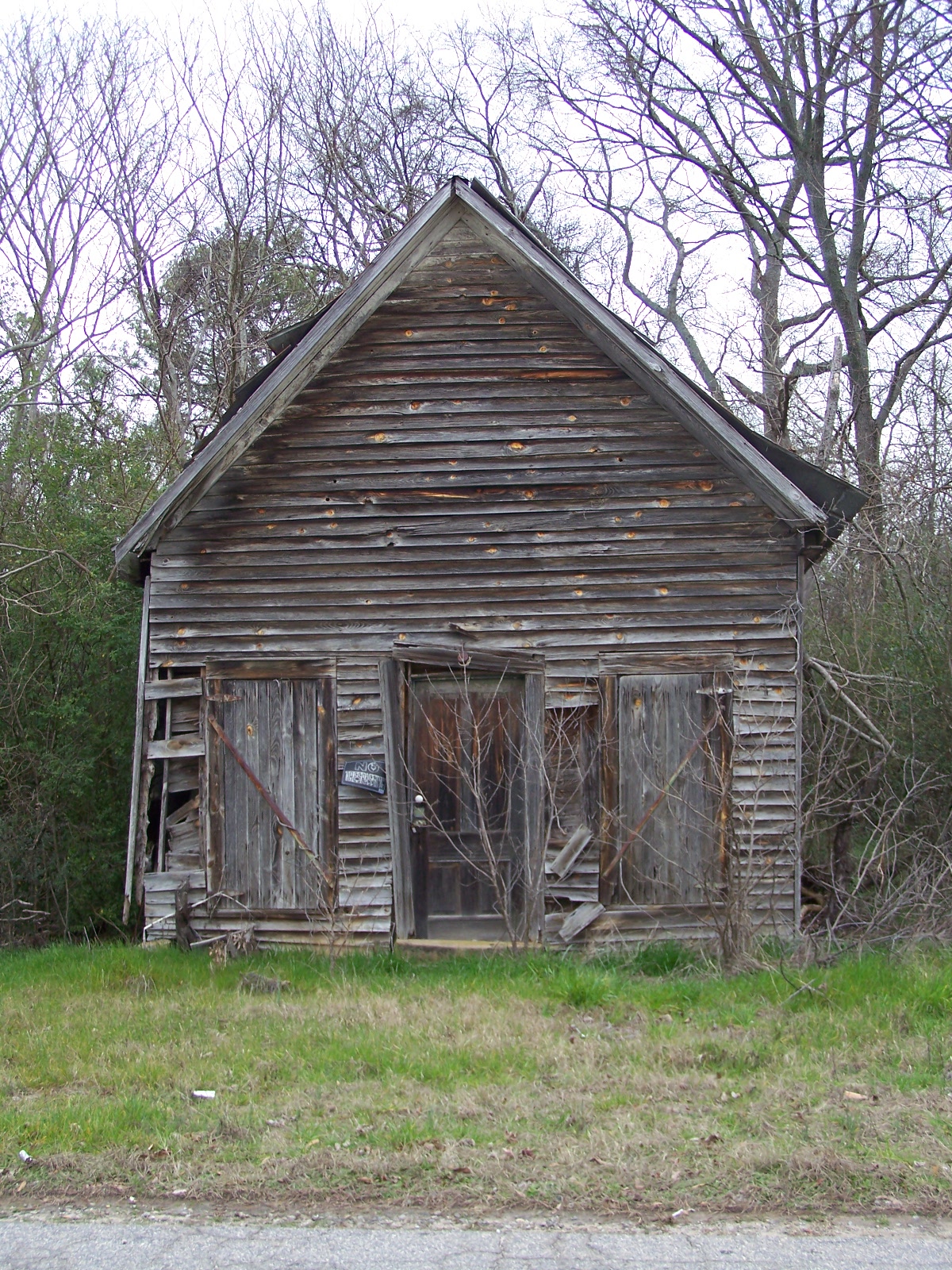
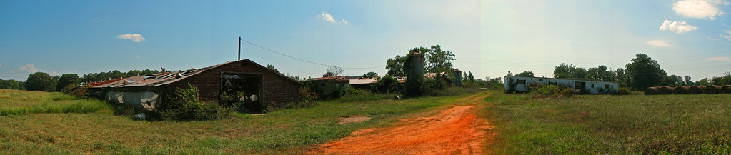
OLD BUILDING
#springvalleyecofarms #newearthcoop #myathens
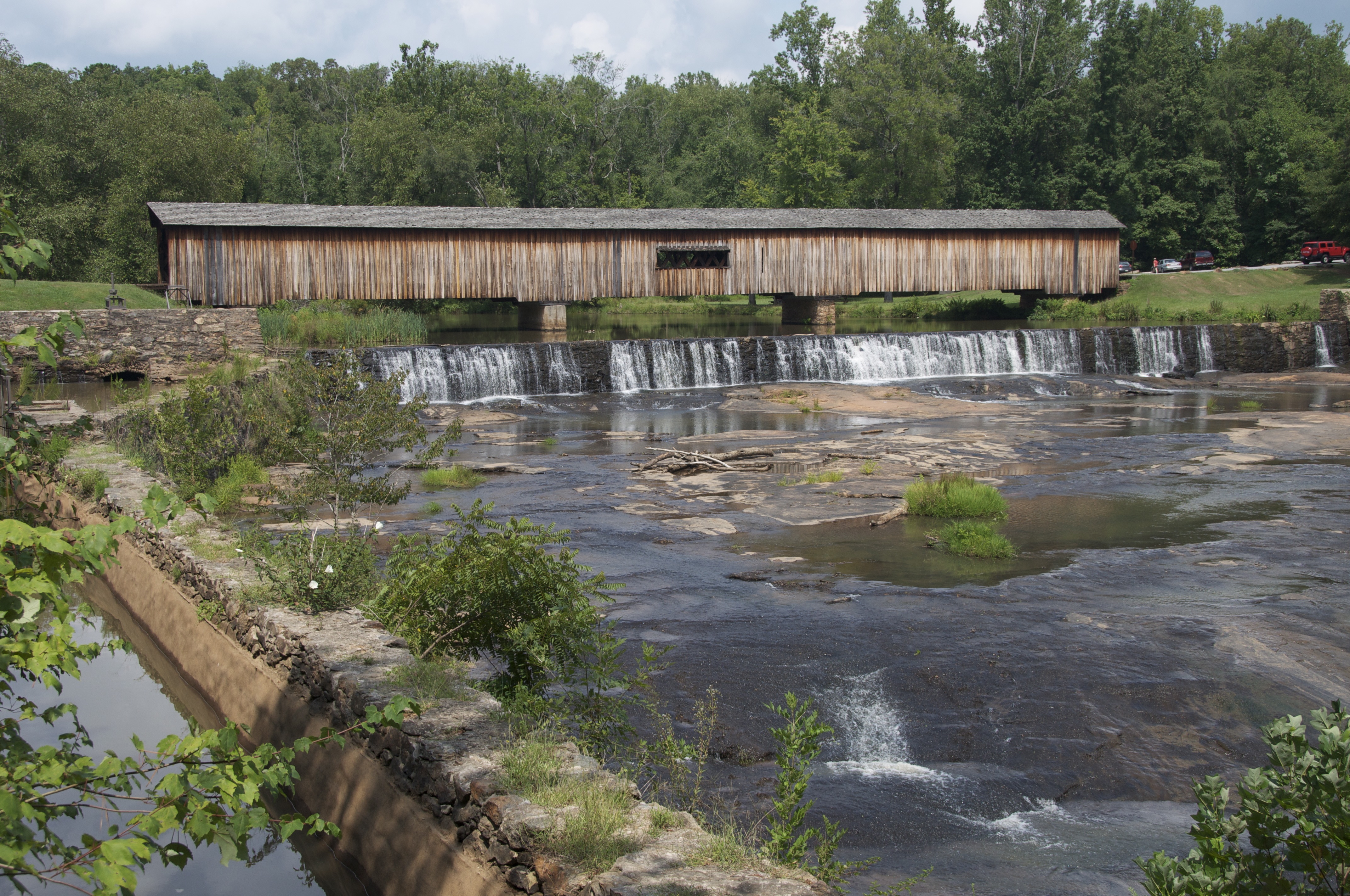
Watson Mill Bridge
Cherokee Corners

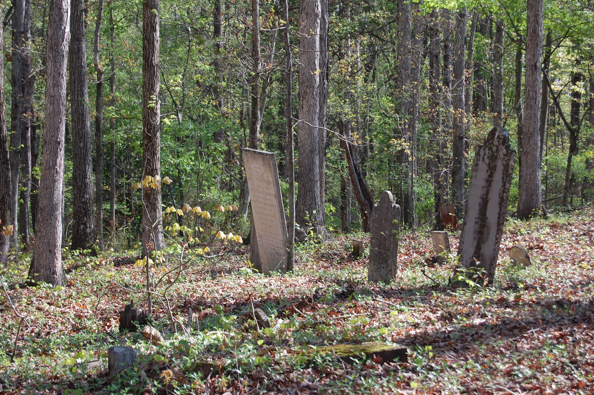
Oglethorpe County
Topographic Map of Hargrove Lake Rd, Crawford, GA, USA
Find elevation by address:

Places near Hargrove Lake Rd, Crawford, GA, USA:
Crawford
142 Meyer Farm Rd
Yancy Road
Arnoldsville
Yancey Road
3 Railroad St, Arnoldsville, GA, USA
Lexington
Union Point Rd, Crawford, GA, USA
750 Double Bridges Rd
122 Wesley Chapel Rd
1250 Hutchins Wolfskin Rd
1540 Morton Rd
Stephens
Millstone Cir, Athens, GA, USA
Oglethorpe County
Union Point Rd, Stephens, GA, USA
Jockey Club Dr, Athens, GA, USA
1510 Bob Godfrey Rd
Hancock Ln, Athens, GA, USA
30 Steven's Grove Church Rd, Lexington, GA, USA
Recent Searches:
- Elevation of Vista Blvd, Sparks, NV, USA
- Elevation of 15th Ave SE, St. Petersburg, FL, USA
- Elevation of Beall Road, Beall Rd, Florida, USA
- Elevation of Leguwa, Nepal
- Elevation of County Rd, Enterprise, AL, USA
- Elevation of Kolchuginsky District, Vladimir Oblast, Russia
- Elevation of Shustino, Vladimir Oblast, Russia
- Elevation of Lampiasi St, Sarasota, FL, USA
- Elevation of Elwyn Dr, Roanoke Rapids, NC, USA
- Elevation of Congressional Dr, Stevensville, MD, USA