Elevation of 30 Steven's Grove Church Rd, Lexington, GA, USA
Location: United States > Georgia > Oglethorpe County > Lexington >
Longitude: -83.042967
Latitude: 33.833823
Elevation: 194m / 636feet
Barometric Pressure: 99KPa
Elevation Map:
Satellite Map:
Related Photos:

Shaking Rock
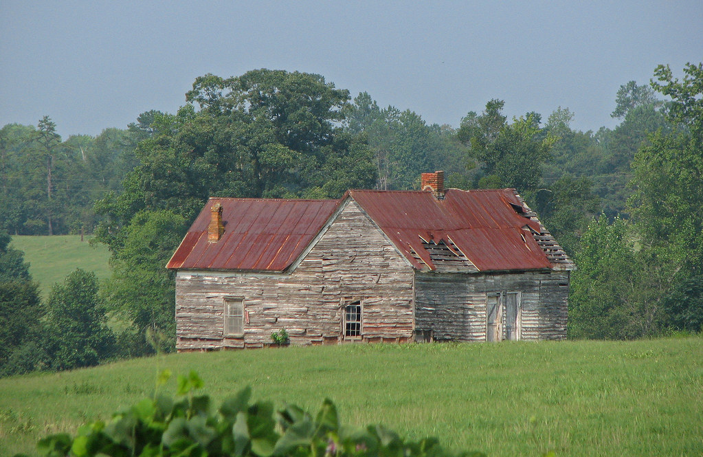
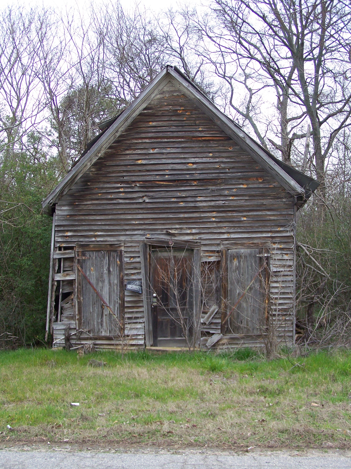
old house in rural georgia
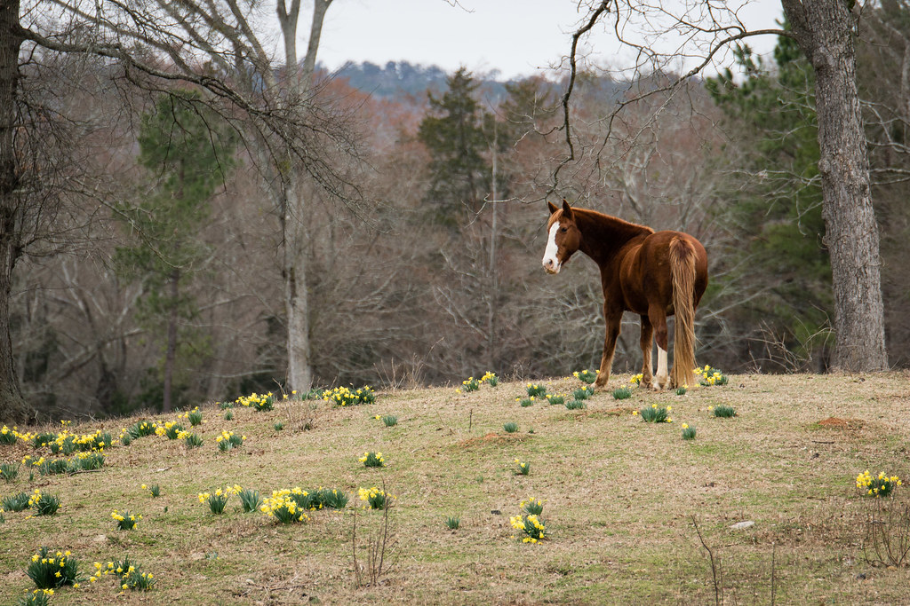
Looking for Spring
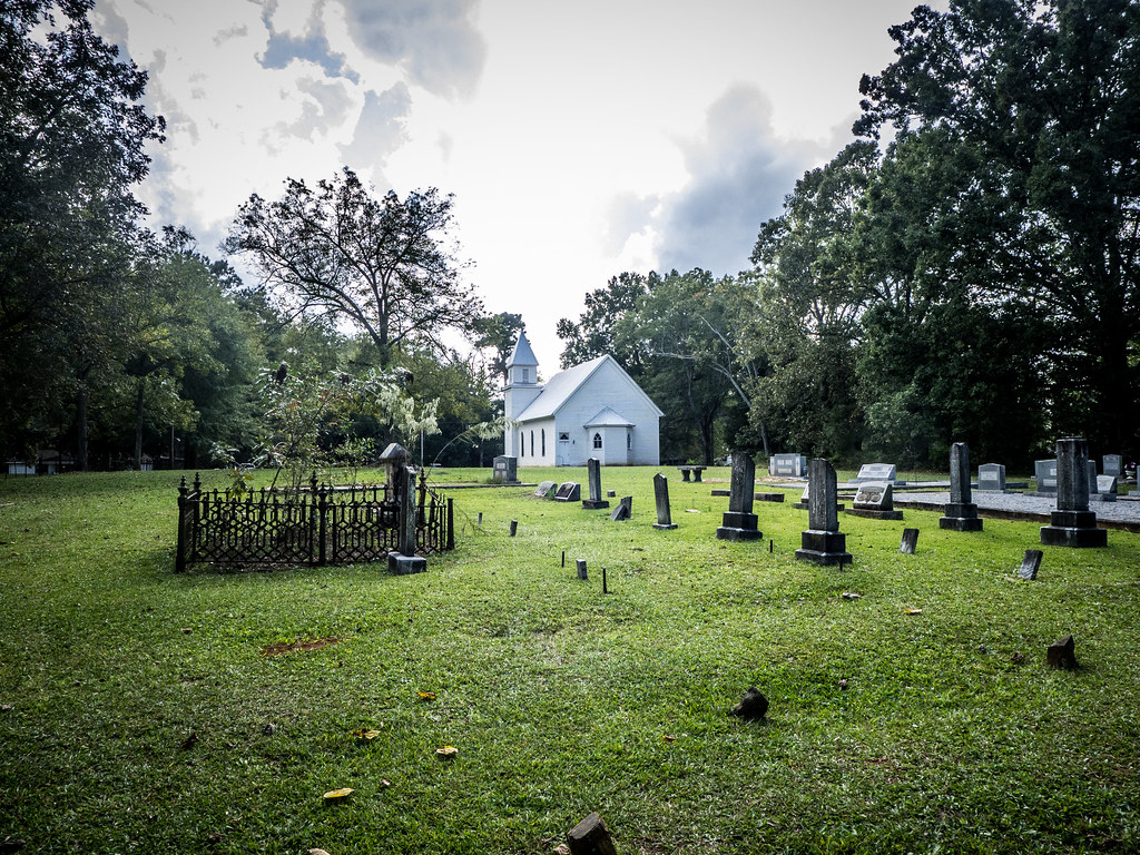
Philomath Church Cemetery
Philomath Church Cemetery
OLD BUILDING
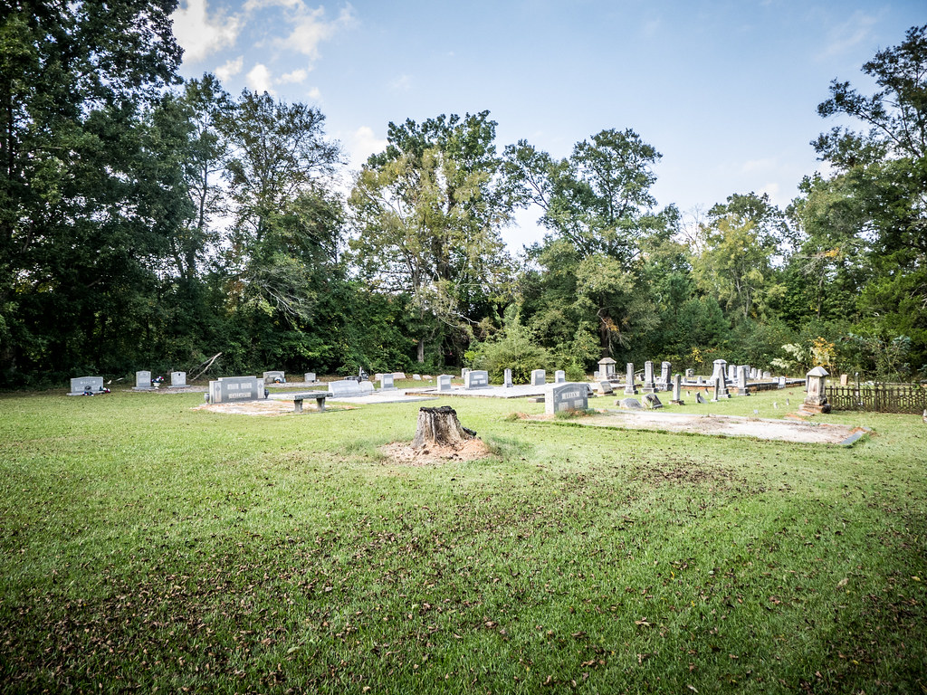
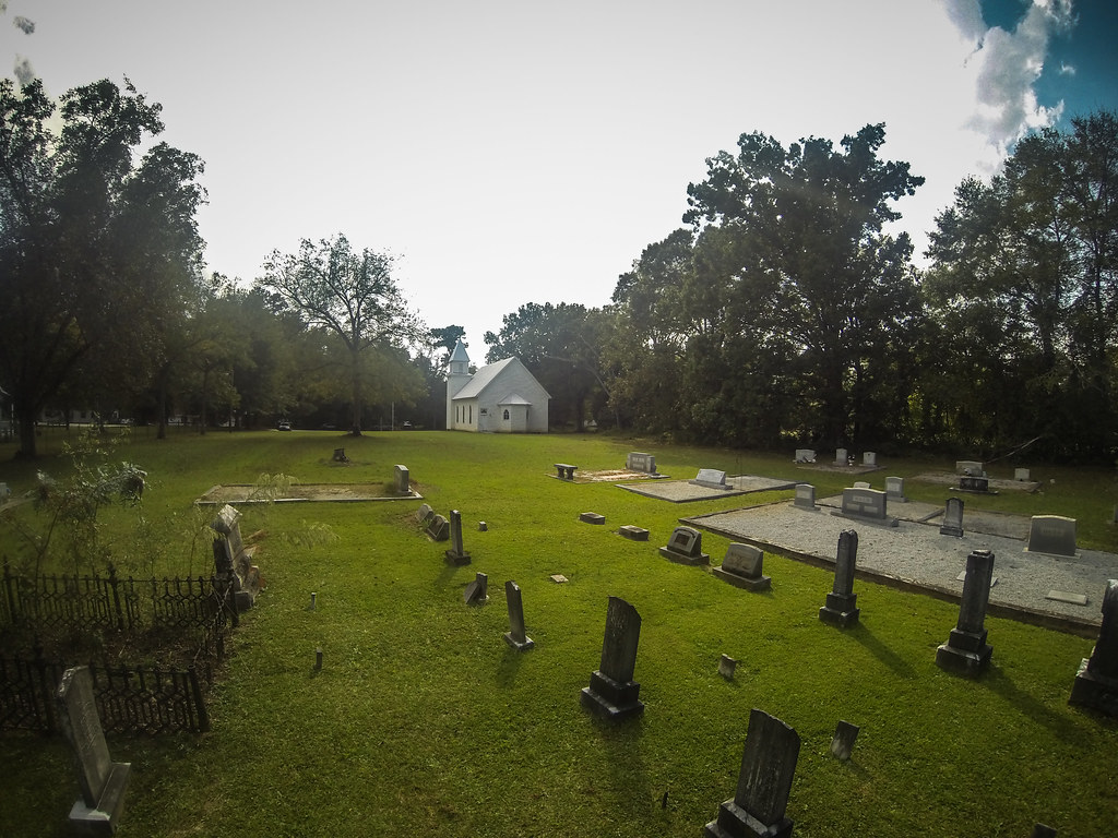
Philomath Church Cemetery
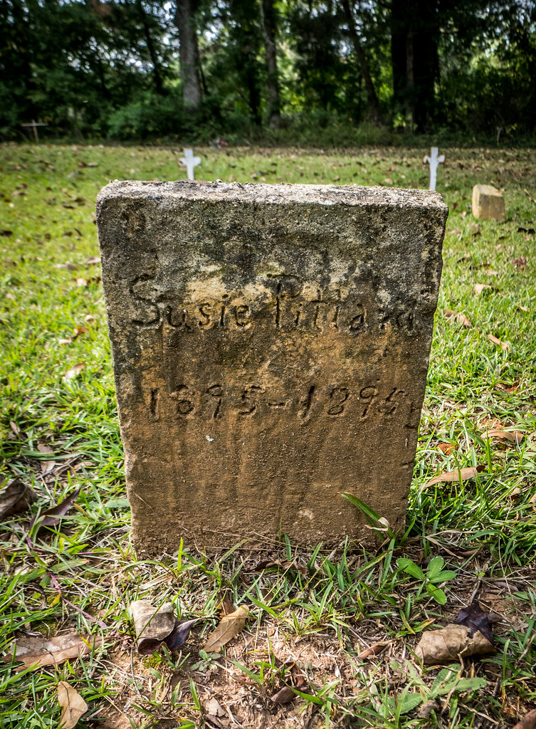
Philomath Church Cemetery
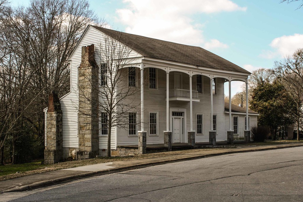
Maxwell-Knox House

Kenneth Boheler
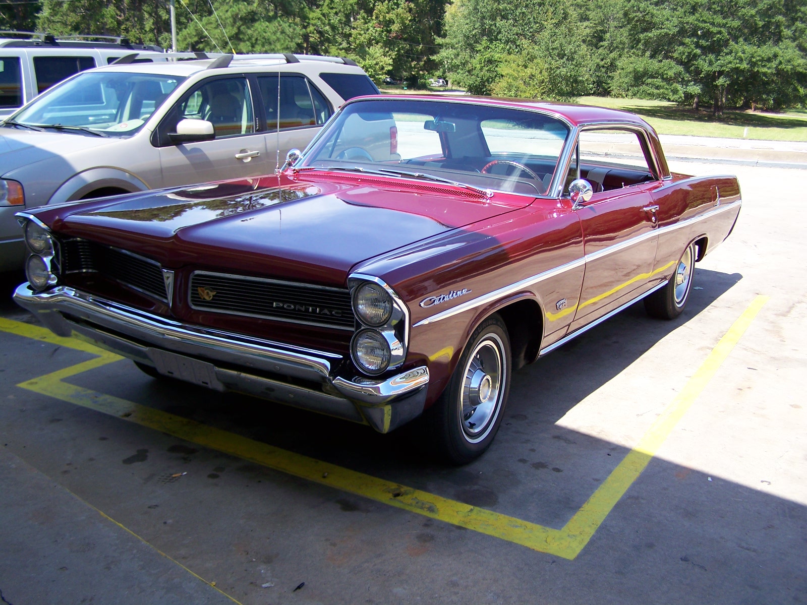
1963 Pontiac Catalina 421 (1)

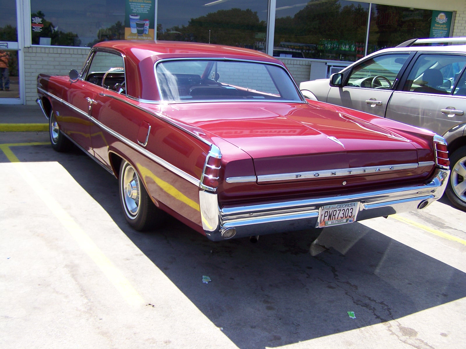
1963 Pontiac Catalina 421 (3)

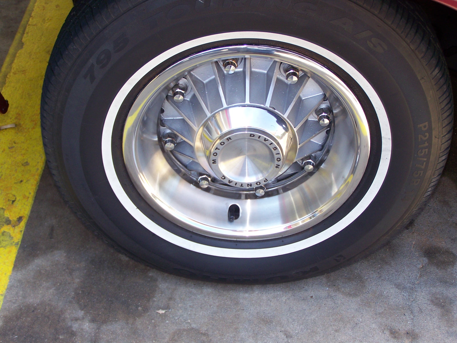
1963 Pontiac Catalina 421 (4)
1963 Pontiac Catalina 421 (2)
1963 Pontiac Catalina 421 (5)
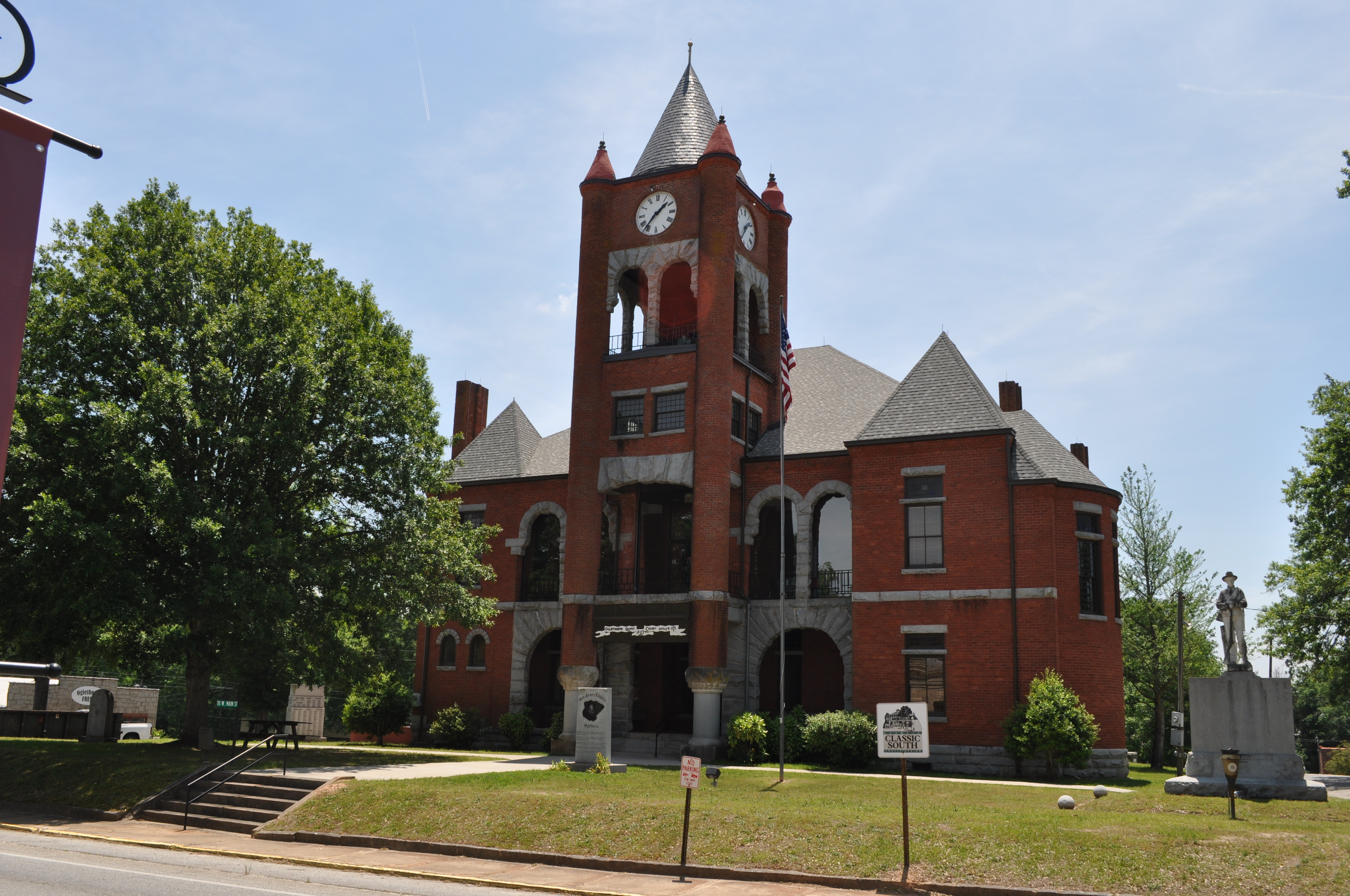
0638 Oglethorpe Courthouse Img_11799
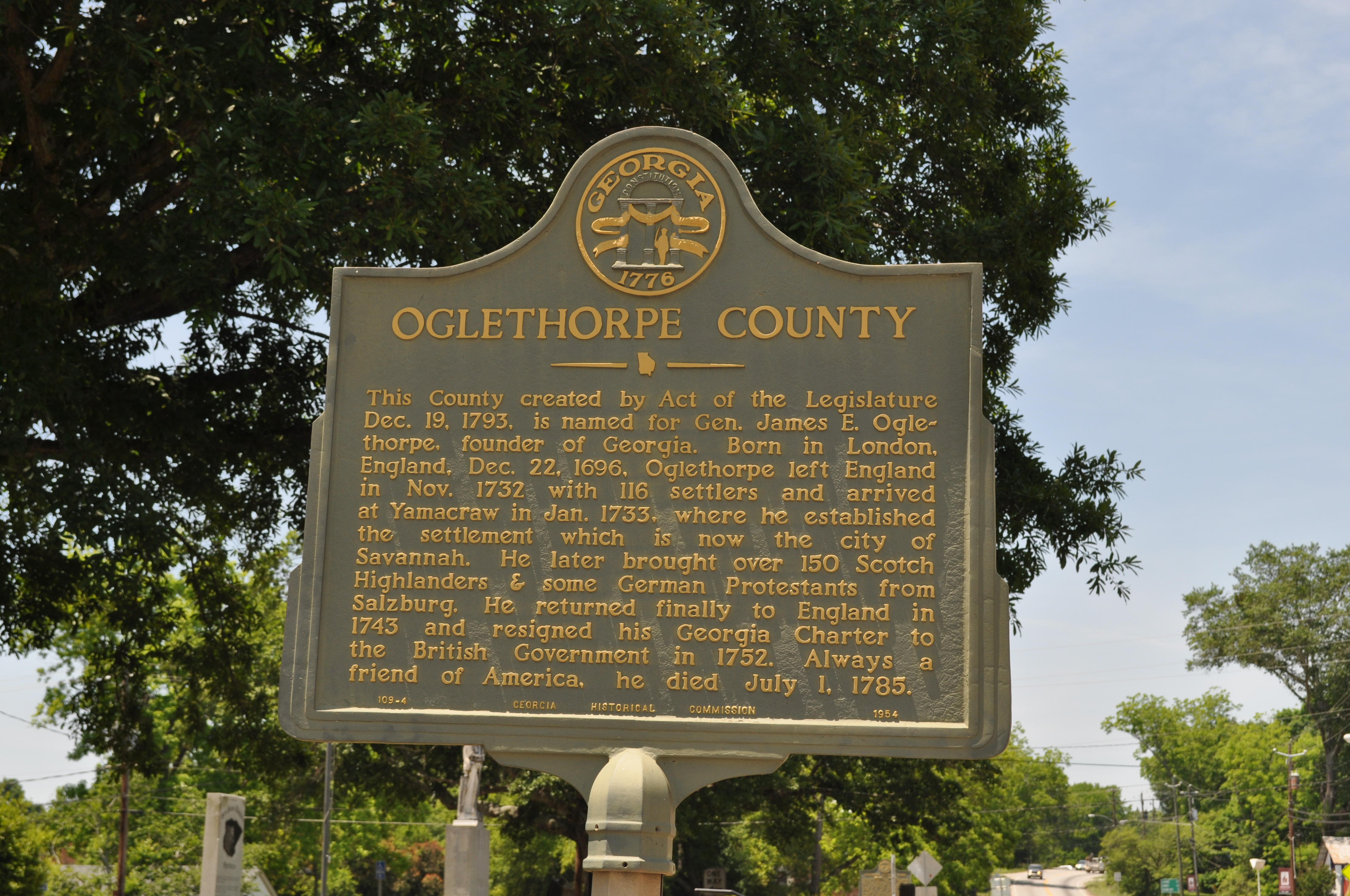
0639 Oglethorpe County Img_11800
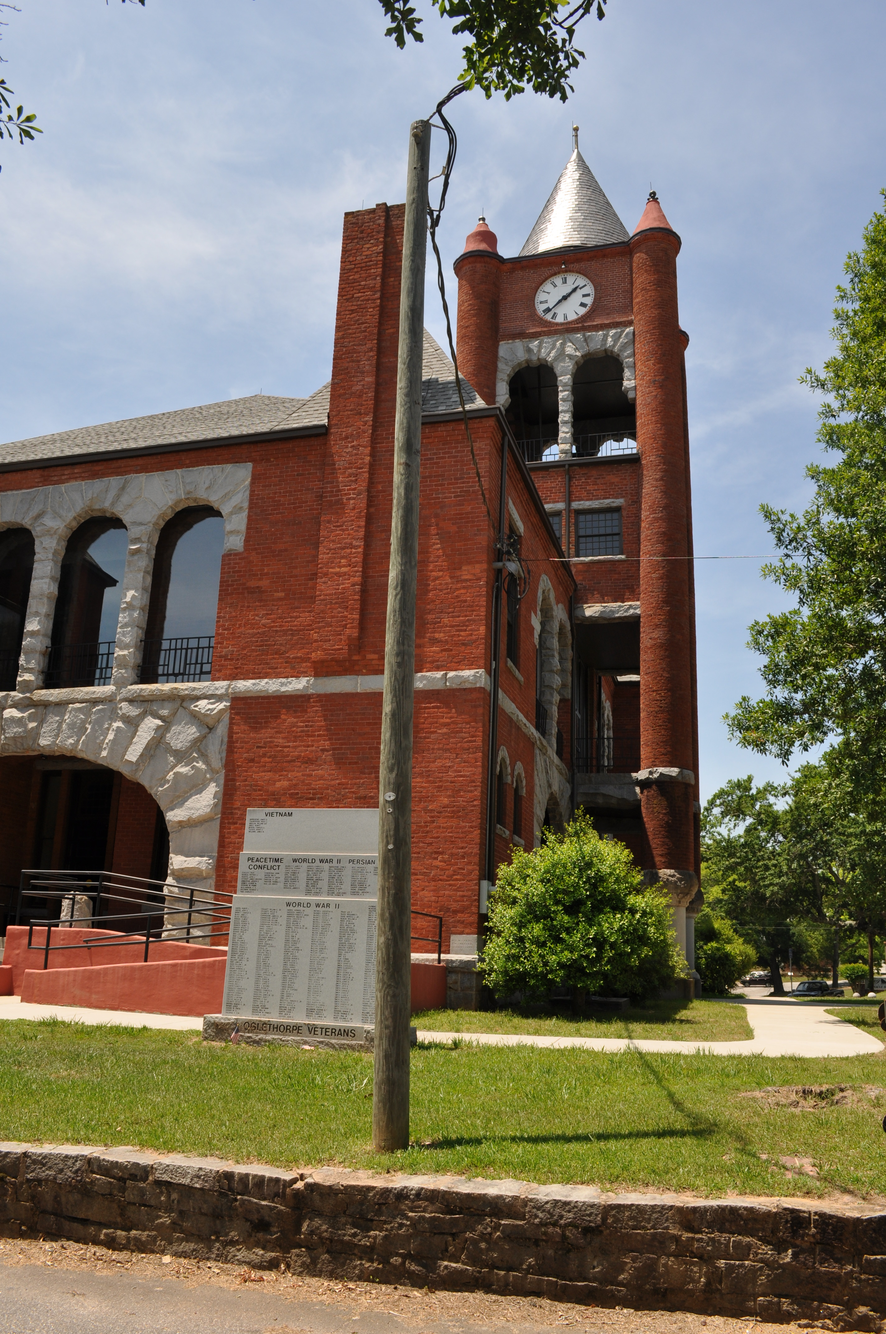
0640 Oglethorpe Courthouse Img_11801
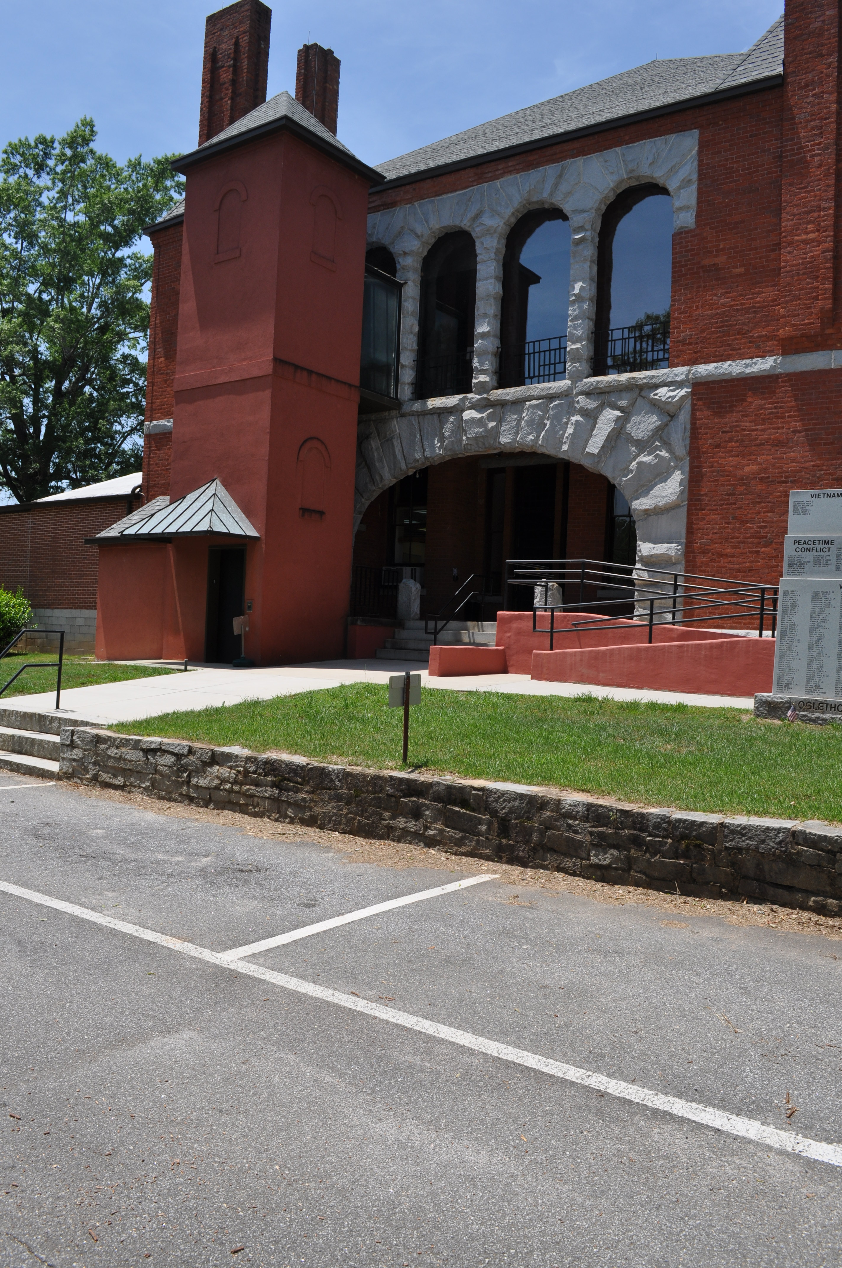
0641 Oglethorpe Courthouse Img_11802
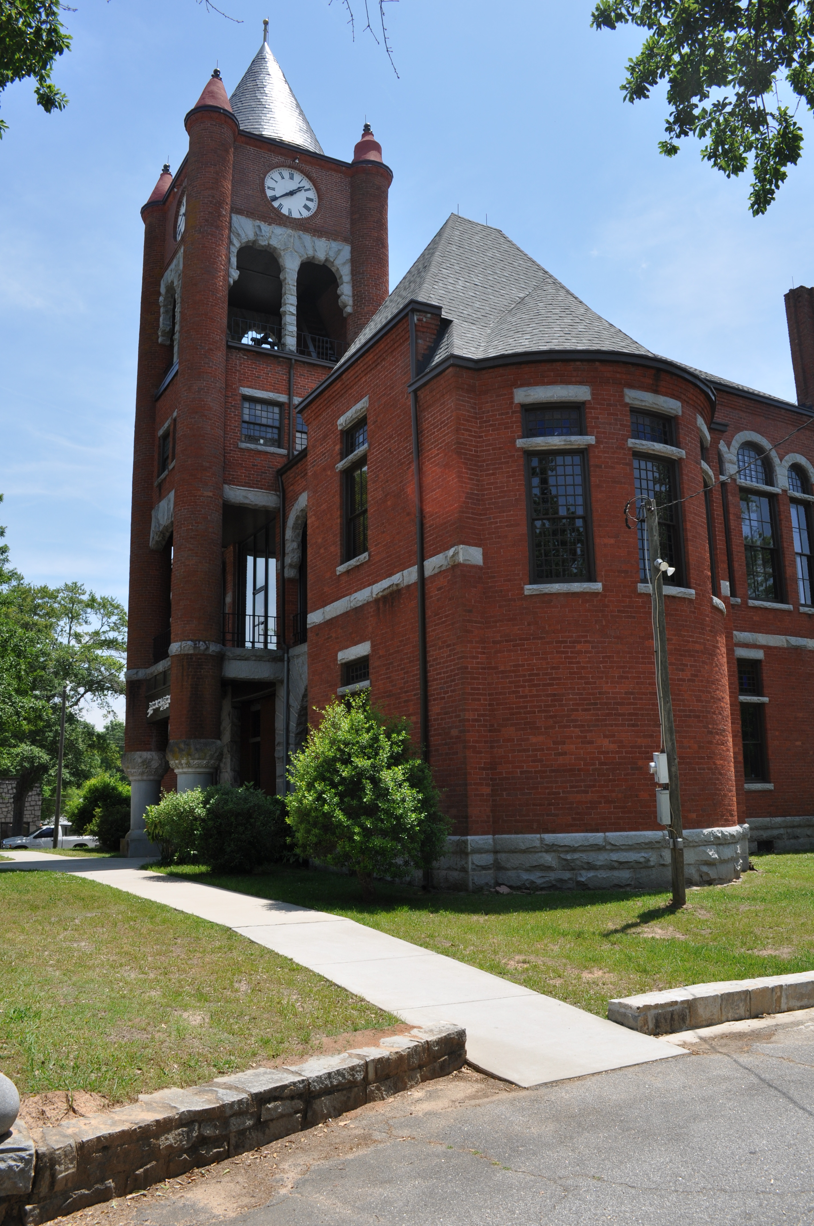
0642 Oglethorpe Courthouse Img_11803
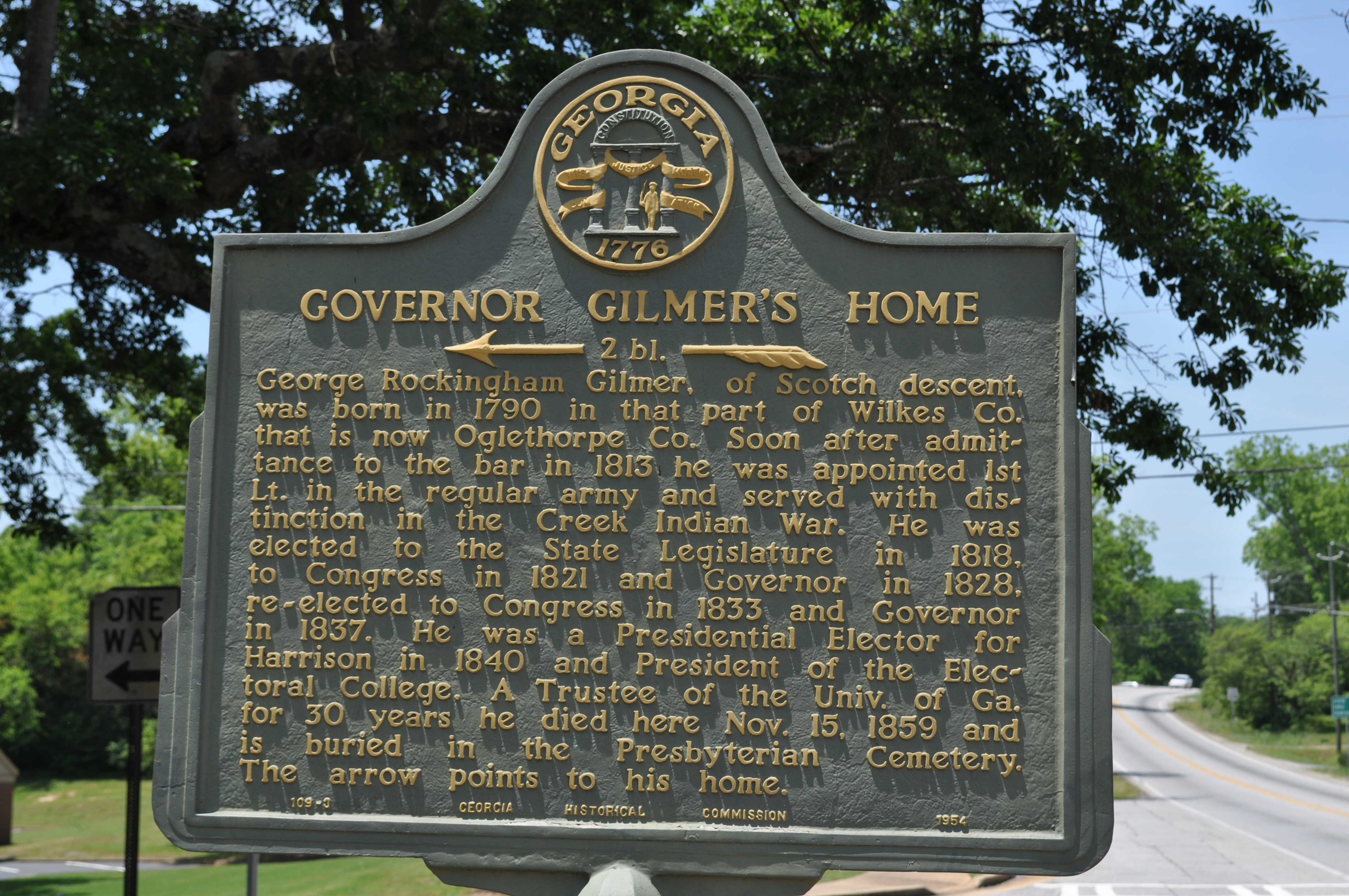
0643Governor Gilmers Home Img_11804
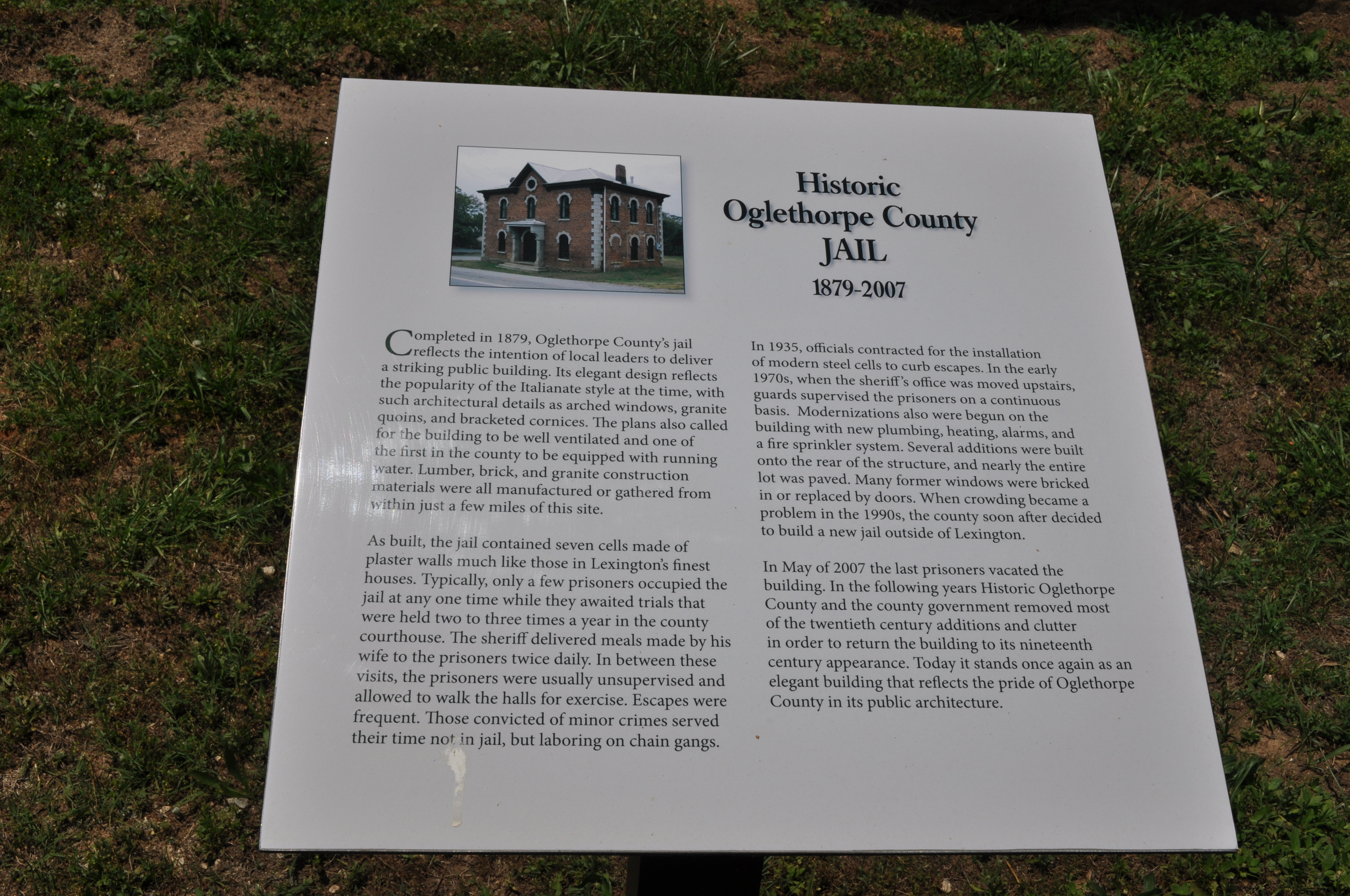
0644 History Oglethory County Jail Img_11805
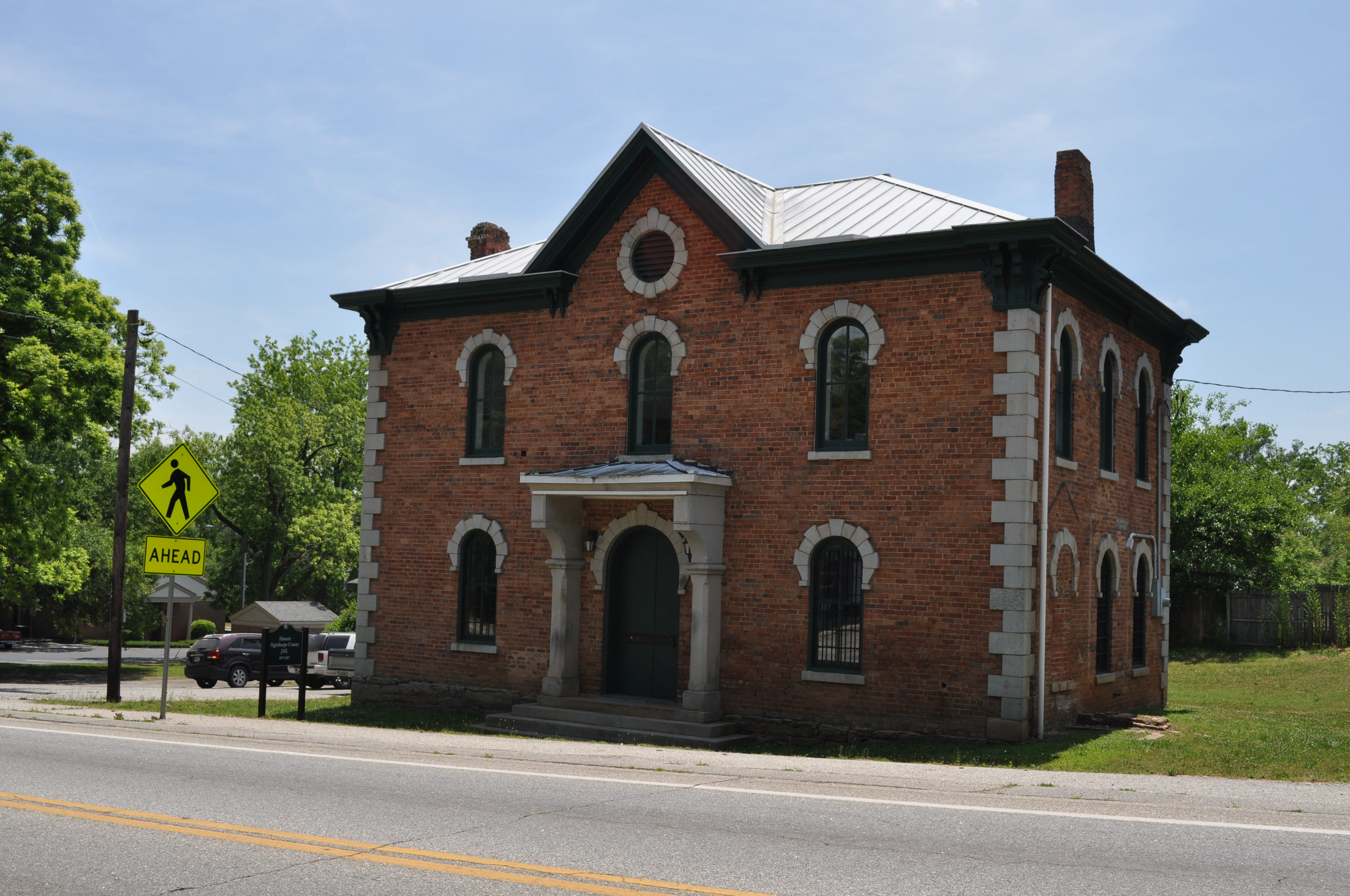
0645 Oglethory County Jail Img_11806
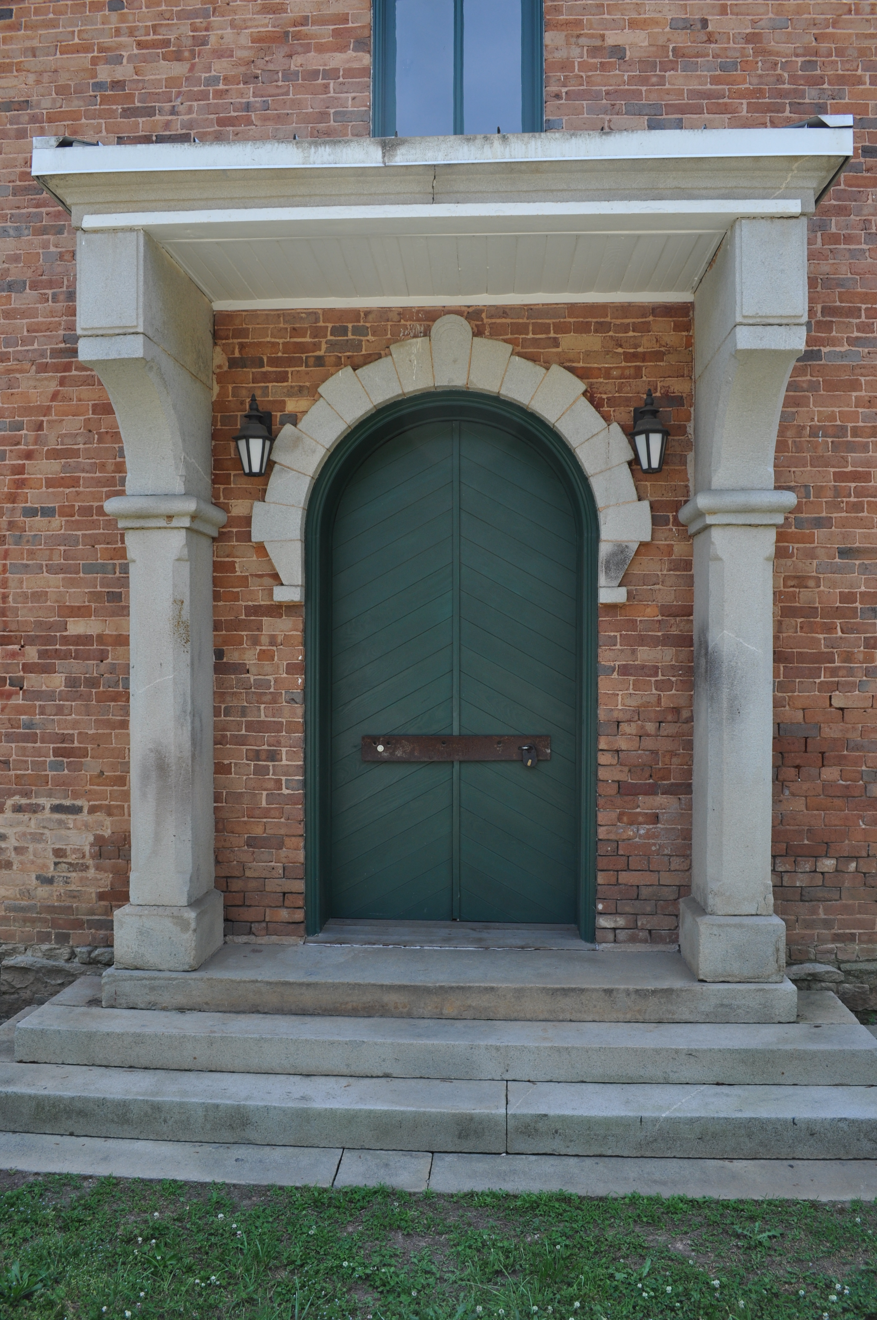
0646 Oglethory County Jail Img_11807
Topographic Map of 30 Steven's Grove Church Rd, Lexington, GA, USA
Find elevation by address:

Places near 30 Steven's Grove Church Rd, Lexington, GA, USA:
U.s. 78
122 Wesley Chapel Rd
2892 Centerville Rd
Lexington
Oglethorpe County
Tiller Bridges Road
Crawford
Stephens
Union Point Rd, Crawford, GA, USA
Union Point Rd, Stephens, GA, USA
156 Hargrove Lake Rd
Maxeys
Union Point Rd, Stephens, GA, USA
Arnoldsville
142 Meyer Farm Rd
3 Railroad St, Arnoldsville, GA, USA
Yancey Road
Yancy Road
1250 Hutchins Wolfskin Rd
750 Double Bridges Rd
Recent Searches:
- Elevation of Vista Blvd, Sparks, NV, USA
- Elevation of 15th Ave SE, St. Petersburg, FL, USA
- Elevation of Beall Road, Beall Rd, Florida, USA
- Elevation of Leguwa, Nepal
- Elevation of County Rd, Enterprise, AL, USA
- Elevation of Kolchuginsky District, Vladimir Oblast, Russia
- Elevation of Shustino, Vladimir Oblast, Russia
- Elevation of Lampiasi St, Sarasota, FL, USA
- Elevation of Elwyn Dr, Roanoke Rapids, NC, USA
- Elevation of Congressional Dr, Stevensville, MD, USA